Elevation of El Camino Real, Santa Clara, CA, USA
Location: United States > California > Santa Clara County > Santa Clara >
Longitude: -121.96305
Latitude: 37.3520111
Elevation: 23m / 75feet
Barometric Pressure: 101KPa
Elevation Map:
Satellite Map:
Related Photos:
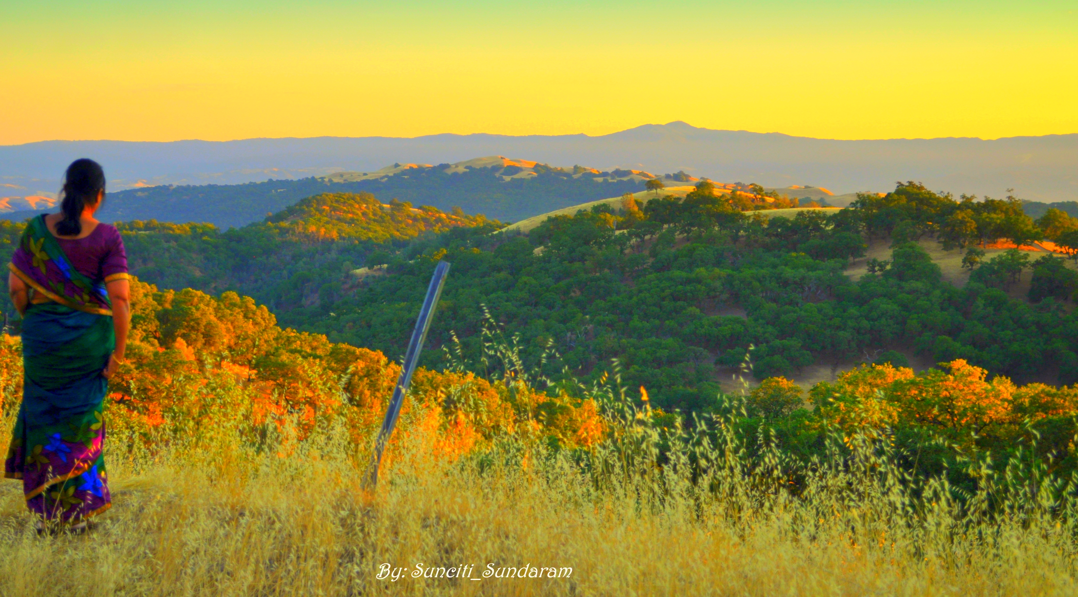
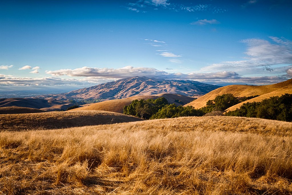
Panoramic View From A Perfect View Point...

IMG_1380 Let Me Feed You, Honey.

IMG_5922 Forster's Tern Hovering, Mountain View Shoreline Park, California

teeny tiny

Mary Avenue Bridge

DSC01246.JPG
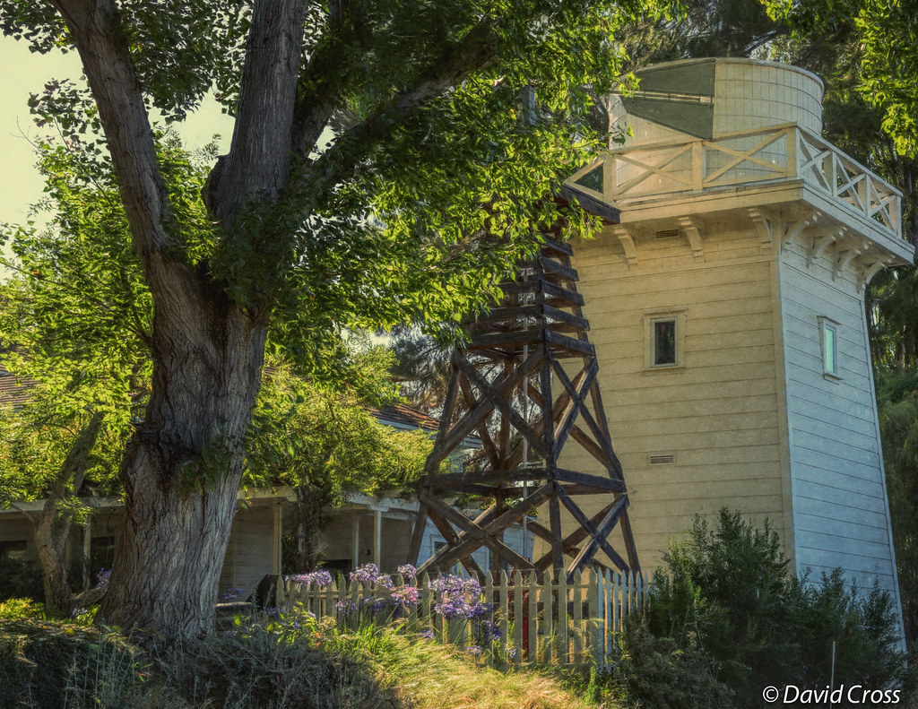
A Walk to Rengstorff House (circa 1867) (HFF)
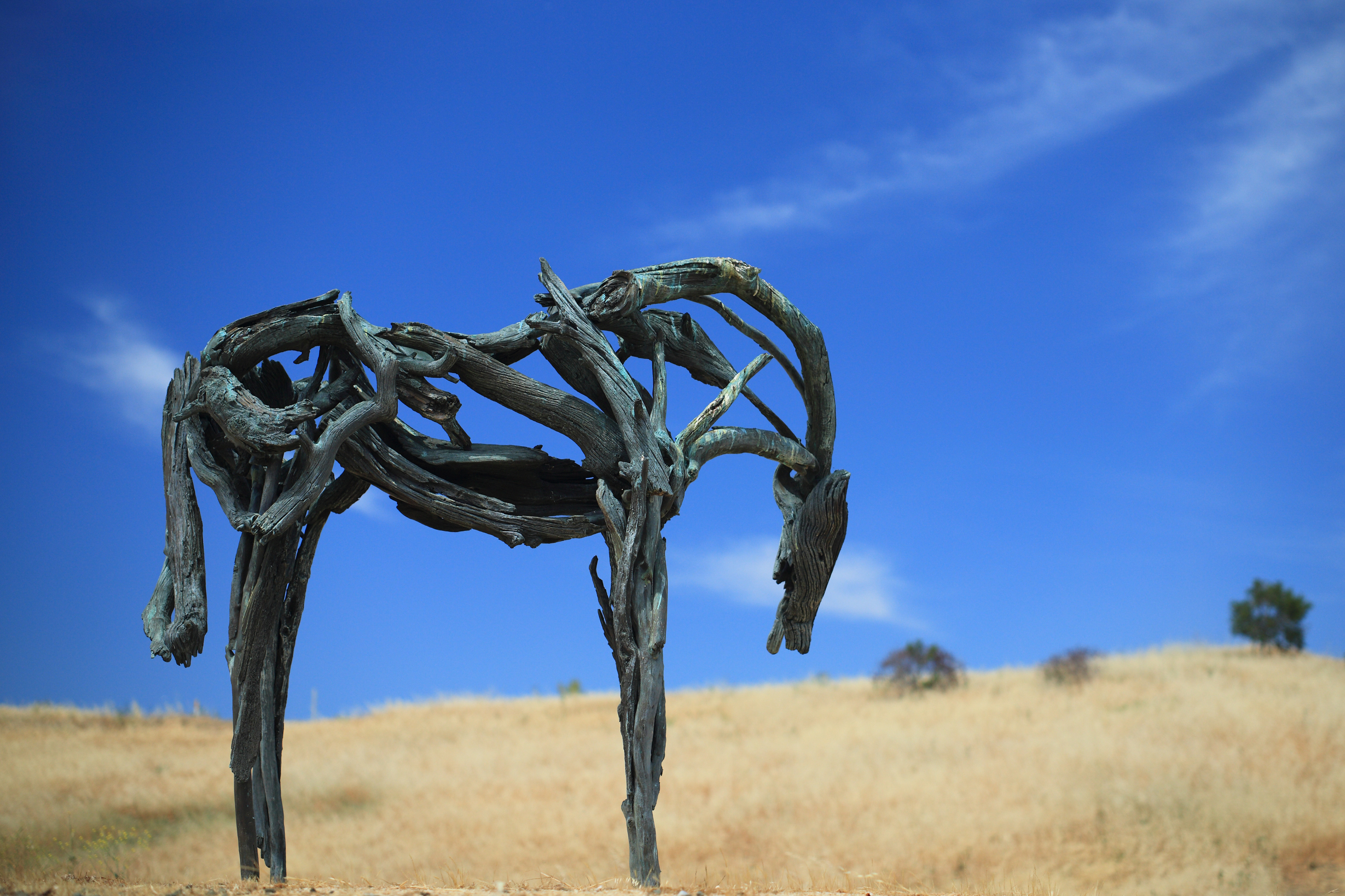
Bronze Horse by Deborah Butterfield

IMG_2314 Forster's Tern

Geese (HSS)

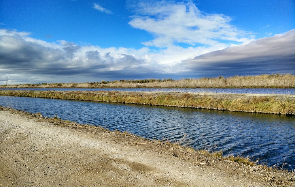
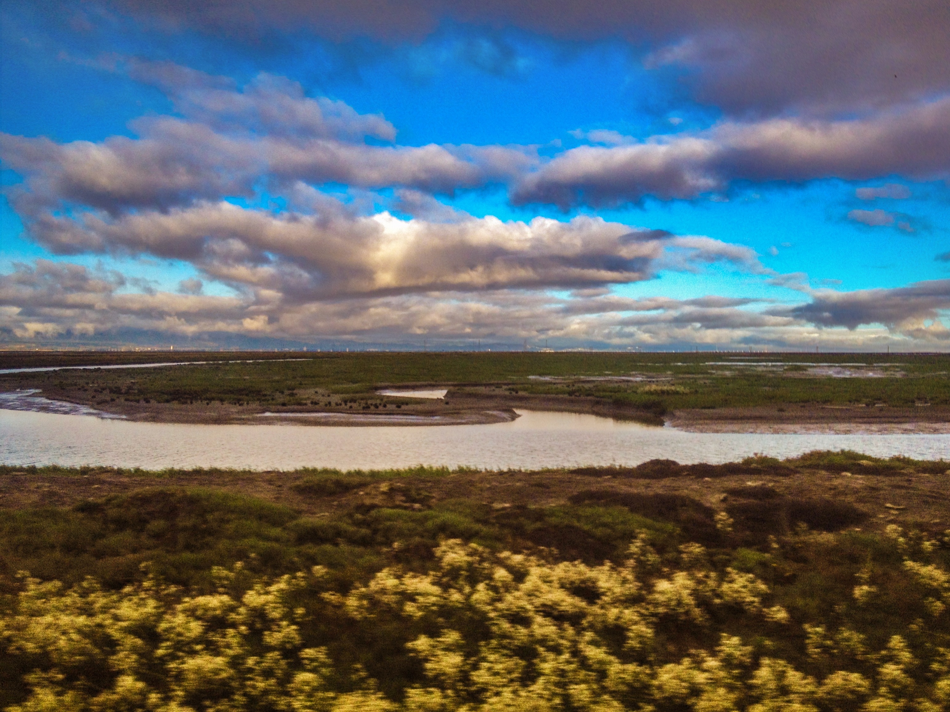
Alviso Blue Hour
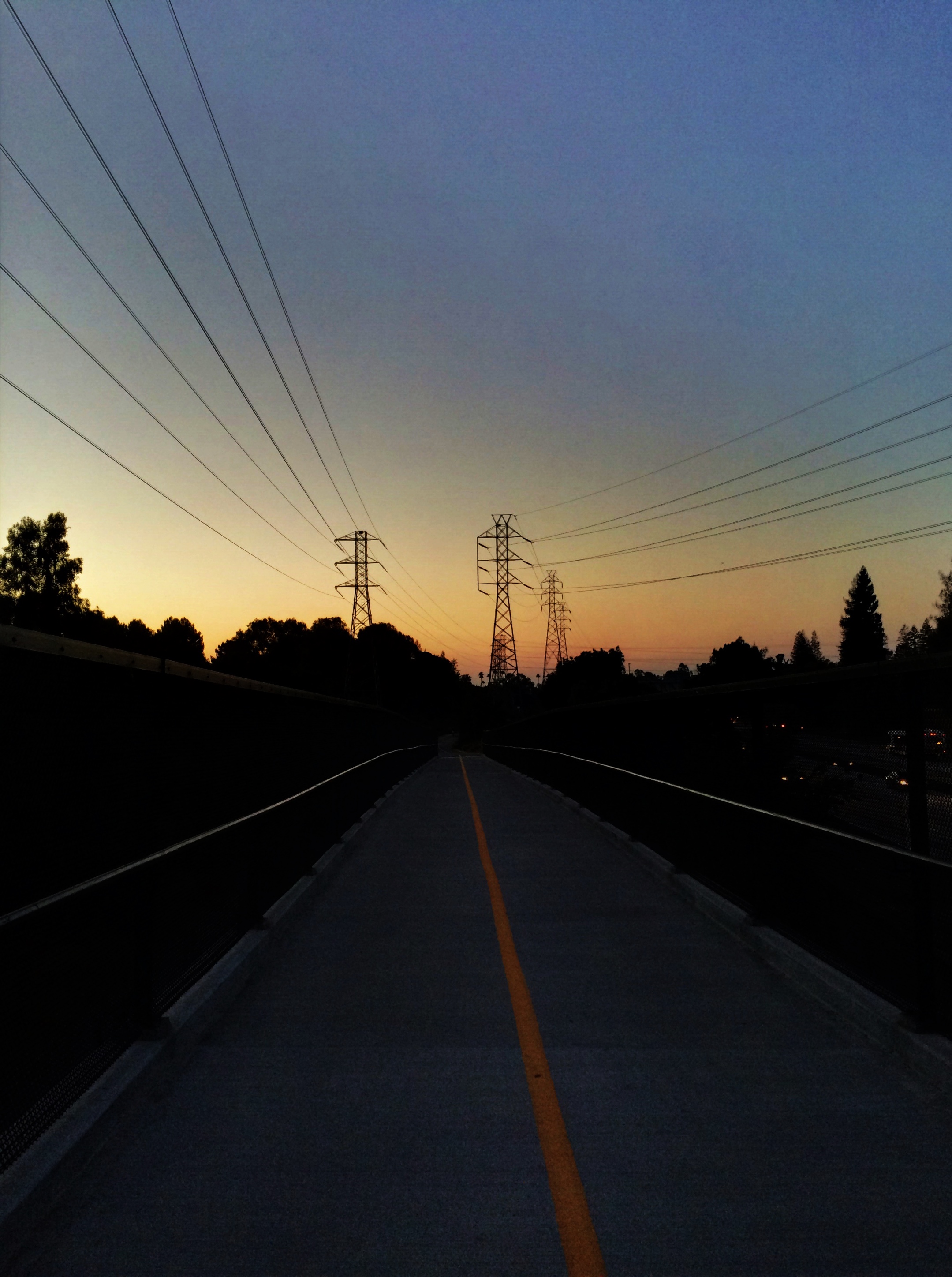
Vanishing Point
MTV Fire Station 5
Cracked Earth
Hanger One

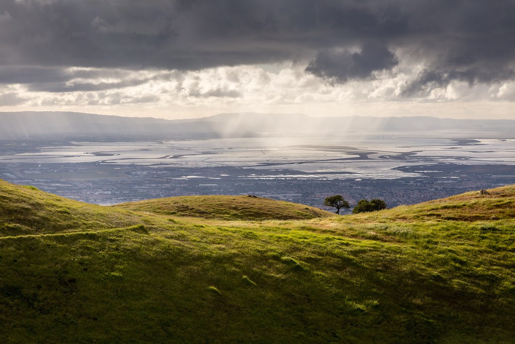
Golden View

Windows on the mountainside - Happy Window Wednesday

DSC01222.JPG

IMG_4504 Forster's Tern, Mountain View Shoreline Park, CA

IMG_6389 Great Egret

Partial Solar Eclipse October 23, 2014, Time Series

Somewhere in heaven

Door of opportunities :)

Stop. Look. Enjoy.

Calaveras Road
morning light in Saratoga Creek

Good weather! #Fremont #sanfrancisco #Cloud #California #usa #trip #travel

My Favorite Tree
Clouds Over Mission Peak
Scattered Showers
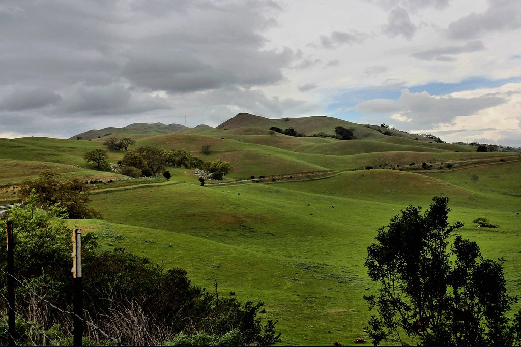
Calaveras Hills

Shade and reflections
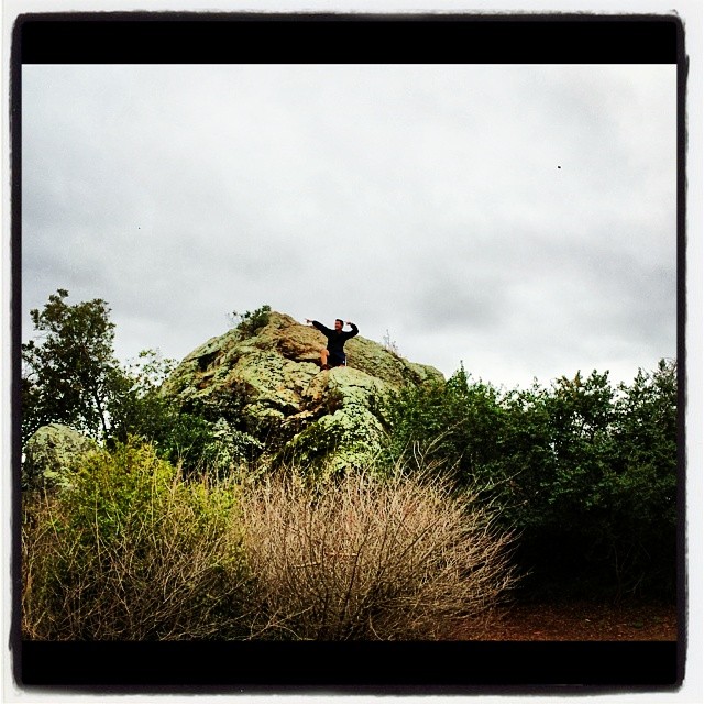
Spotted Hercules on my mud run at Alum Rock. #ToTheTop

There is something about nature that makes me feel happy.
Morning Run by Bay Trail.

#lake #blue

Grass Abstract
SF Bay

iPhoneography #84
Topographic Map of El Camino Real, Santa Clara, CA, USA
Find elevation by address:

Places near El Camino Real, Santa Clara, CA, USA:
2379 Benton St
Catherine Street
647 Armanini Ave
1750 Market St
California Street
Toledo Avenue
2346 Bohannon Dr
2344 Fosgate Ave
3131 Homestead Rd
1016 Julie Ct
3015 Ryan Ave
636 Barto St
2767 Mauricia Ave
3245 Homestead Rd
574 Flannery St
200 Westridge Dr
13 Cook Pl
3475 Granada Ave
Buckingham Drive
3166 Ryan Ave
Recent Searches:
- Elevation of Corso Fratelli Cairoli, 35, Macerata MC, Italy
- Elevation of Tallevast Rd, Sarasota, FL, USA
- Elevation of 4th St E, Sonoma, CA, USA
- Elevation of Black Hollow Rd, Pennsdale, PA, USA
- Elevation of Oakland Ave, Williamsport, PA, USA
- Elevation of Pedrógão Grande, Portugal
- Elevation of Klee Dr, Martinsburg, WV, USA
- Elevation of Via Roma, Pieranica CR, Italy
- Elevation of Tavkvetili Mountain, Georgia
- Elevation of Hartfords Bluff Cir, Mt Pleasant, SC, USA