Elevation of Edwards, MO, USA
Location: United States > Missouri > Benton County > Union Township >
Longitude: -93.169746
Latitude: 38.1378485
Elevation: 253m / 830feet
Barometric Pressure: 98KPa
Elevation Map:
Satellite Map:
Related Photos:
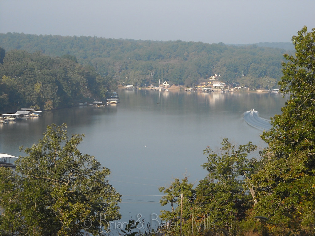
Lake

Spring has sprung! #spring #Missouri #wildonions
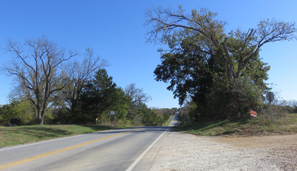
Central Missouri Landscape (Benton County, Missouri)
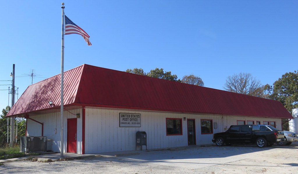
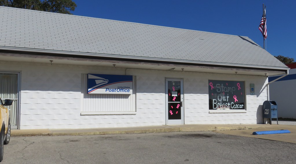
Post Office 65326 (Edwards, Missouri)

Mom after return from hospital

Mom and Dad and Murphy January 2017 (1)

Mom and Dad and Murphy January 2017 (2)

Mom and Dad and Murphy January 2017 (3)

Mom and Dad and Murphy January 2017 (5)

Day Farm
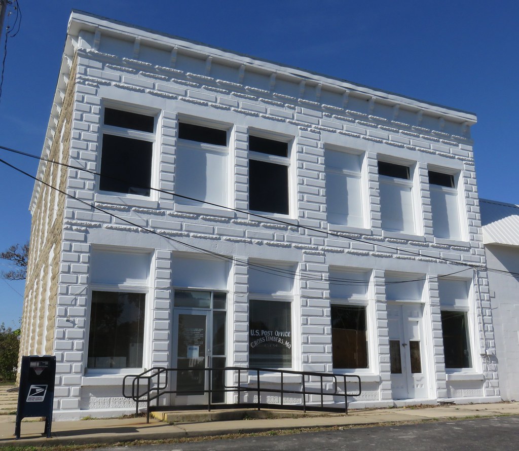
Post Office 65634 (Cross Timbers, Missouri)
Cross Timbers Community Building (Cross Timbers, Missouri)
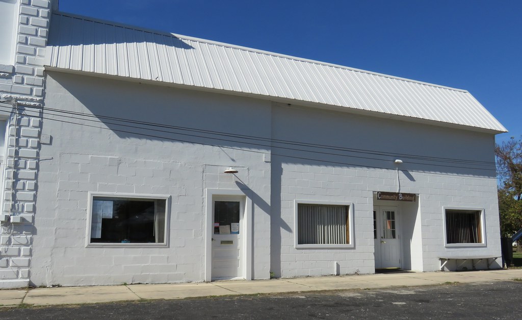
Edwards Community Building (Edwards, Missouri)
Post Office 65324 (Climax Springs, Missouri)

Trees are starting to turn.

Preston, Mo

The Dogwoods are in bloom <3

Puppy training

Pelicans heading South for the winter

morning at the lake

Thomas.

Desperately Wanting
Topographic Map of Edwards, MO, USA
Find elevation by address:

Places in Edwards, MO, USA:
Places near Edwards, MO, USA:
Bethel Avenue
Bethel Avenue
Bethel Avenue
Bethel Avenue
Union Township
31154 Passage Ave
State Hwy FF, Edwards, MO, USA
Neuharth Circle
Climax Ave, Climax Springs, MO, USA
Climax Springs
26770 Waterview Dr
26770 Waterview Dr
26758 Waterview Dr
26744 Waterview Dr
28665 Fir Dr
Fairoaks Drive
Shore Road
Fristoe Township
Black Rock Avenue
Cross Timbers, MO, USA
Recent Searches:
- Elevation of Corso Fratelli Cairoli, 35, Macerata MC, Italy
- Elevation of Tallevast Rd, Sarasota, FL, USA
- Elevation of 4th St E, Sonoma, CA, USA
- Elevation of Black Hollow Rd, Pennsdale, PA, USA
- Elevation of Oakland Ave, Williamsport, PA, USA
- Elevation of Pedrógão Grande, Portugal
- Elevation of Klee Dr, Martinsburg, WV, USA
- Elevation of Via Roma, Pieranica CR, Italy
- Elevation of Tavkvetili Mountain, Georgia
- Elevation of Hartfords Bluff Cir, Mt Pleasant, SC, USA