Elevation of Eclipse St, Watkins, CO, USA
Location: United States > Colorado > Adams County > Watkins >
Longitude: -104.59079
Latitude: 39.7329208
Elevation: 1695m / 5561feet
Barometric Pressure: 83KPa
Elevation Map:
Satellite Map:
Related Photos:
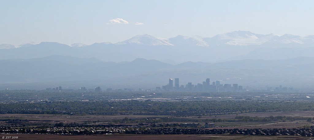
Mile High City
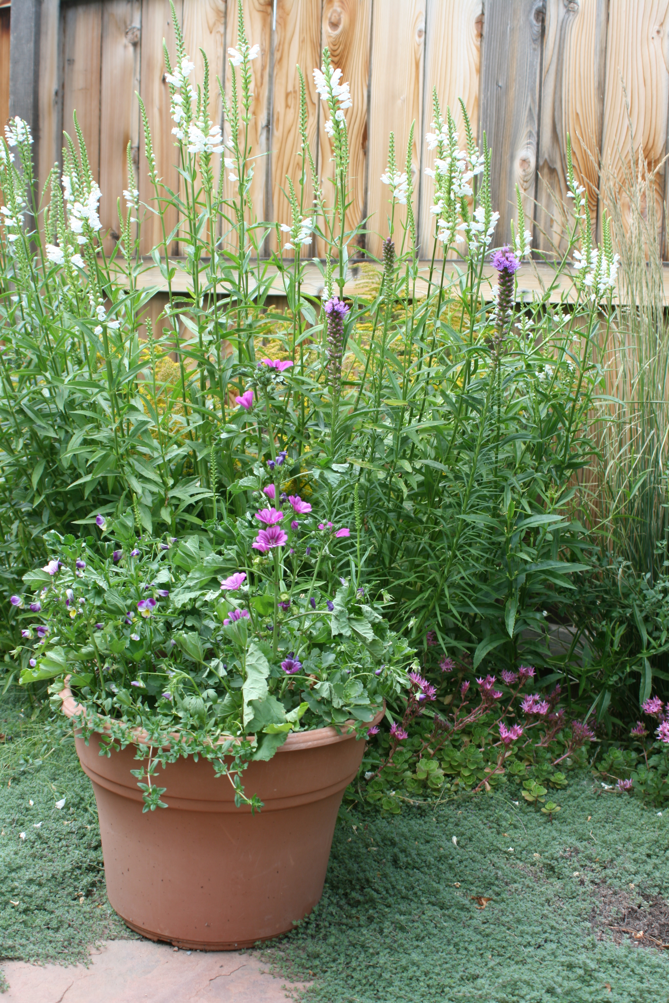
Garden view

365.25 - Day 23
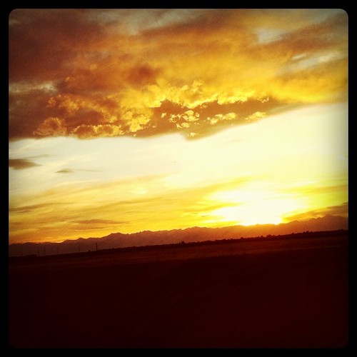
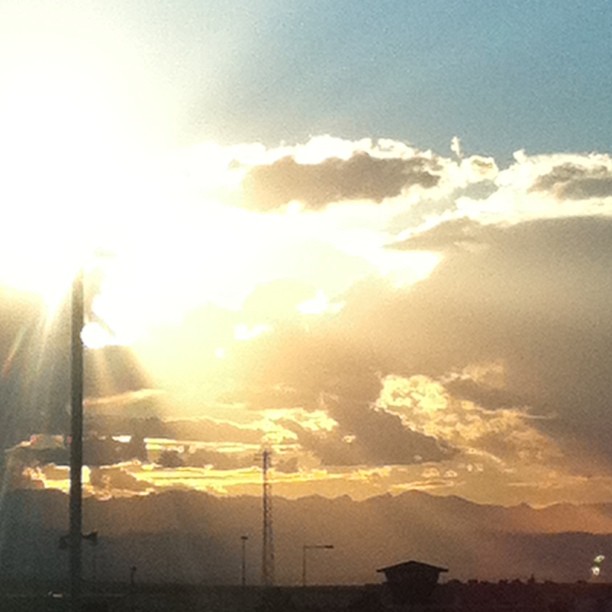
Actually the sunset sucked. The better view was east. #cowx
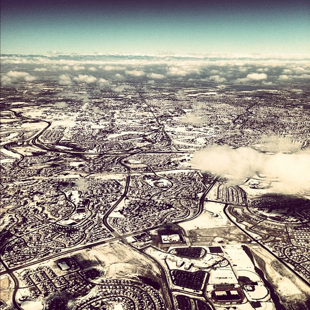
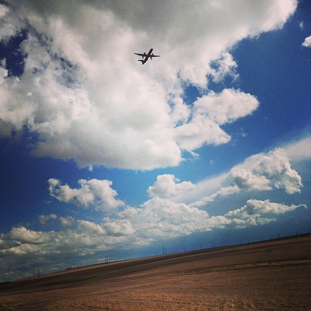
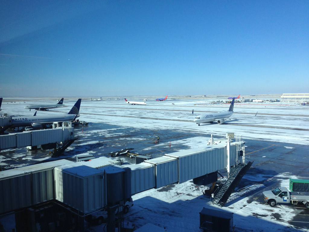
Quite the snowy view landing in Denver!

This view is awesome!
View from the saddle. #bikecolorado

Establishing Shot - Arapahoe County CO - December 2018
West view
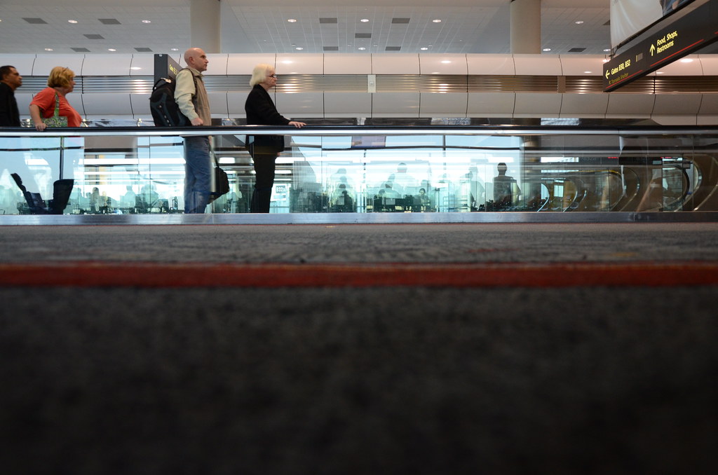
moving people
Check In: Denver International Airport Colorado USA

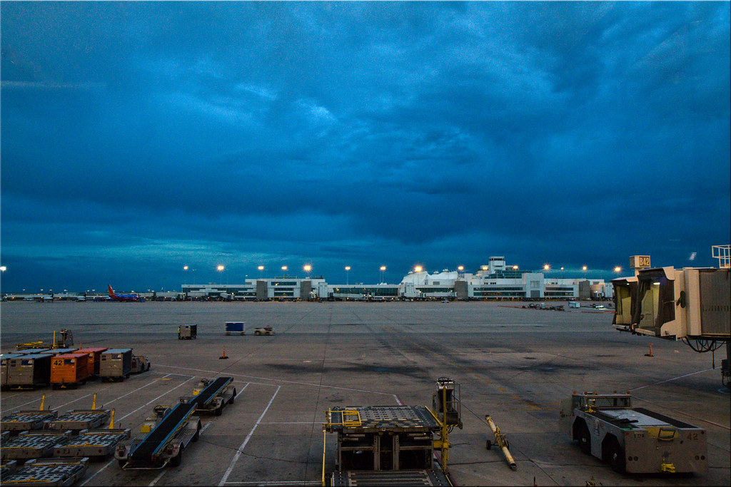
Denver Airport Terminal B West View
Establishing Shot - Arapahoe County CO - December 2018

Breakfast views
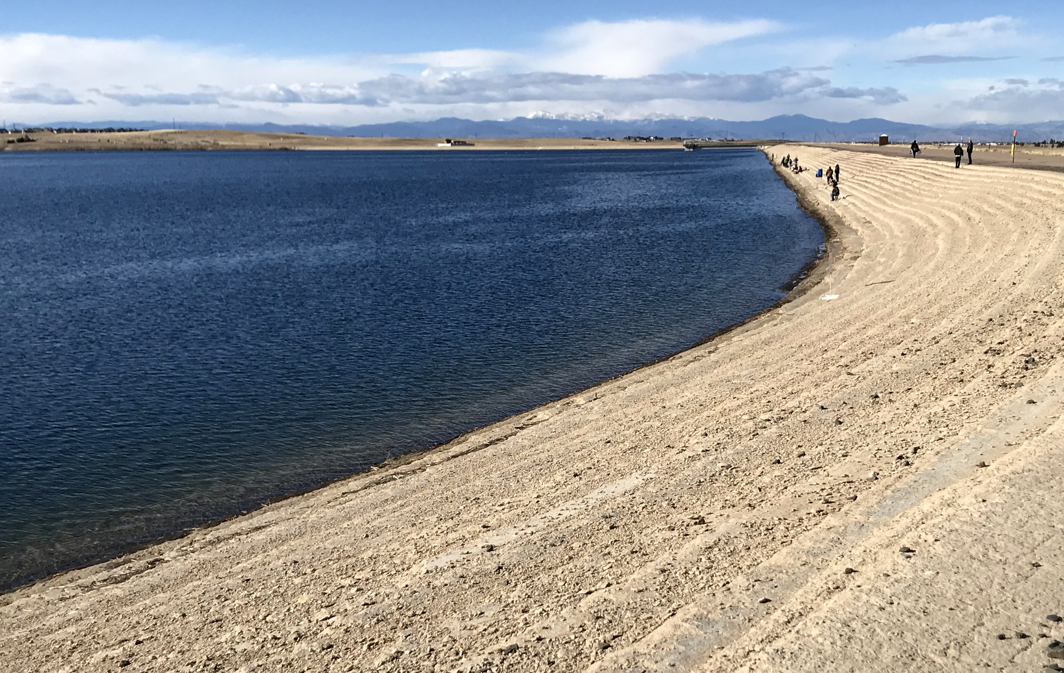
Establishing Shot - Aurora Reservoir, Arapahoe County CO - December 2017
Club's Eye View, Denver
View from DIA. #nicetobehome #nofilter
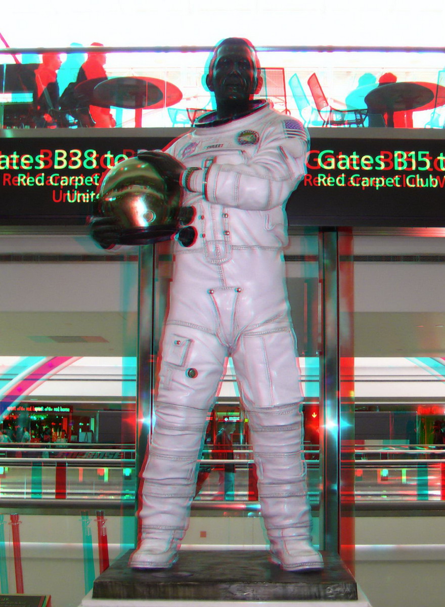
Jack L Swigert, Jr. 3D Statue

SAN-NYC (347)

Rocky Mountains viewed from Denver International Airport Colorado

Dartmouth House Flagstone Patio

Flower Power

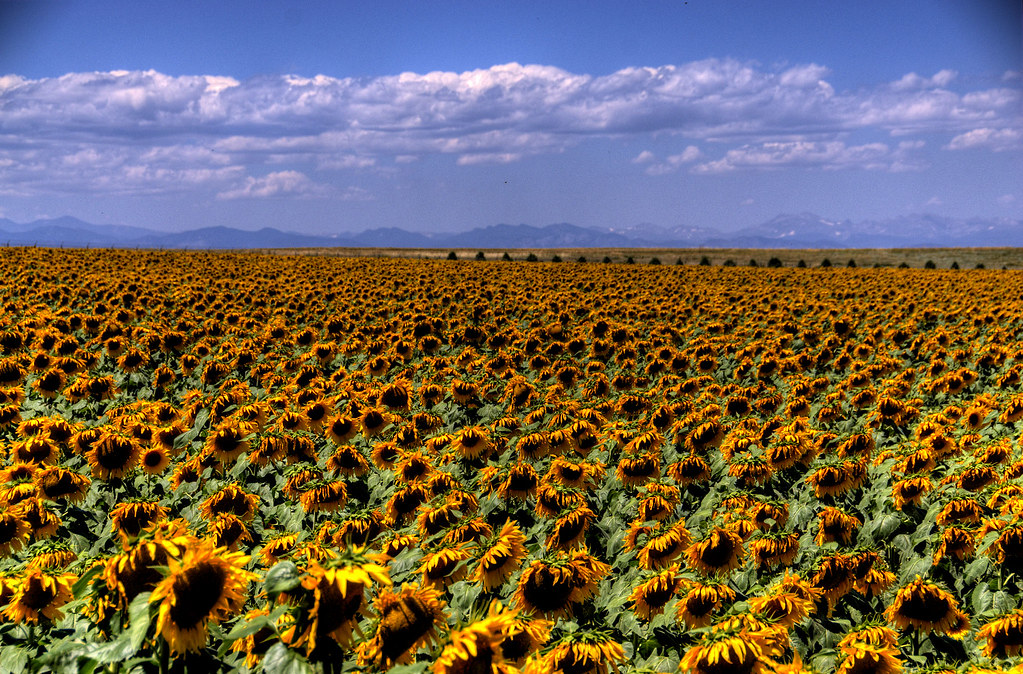
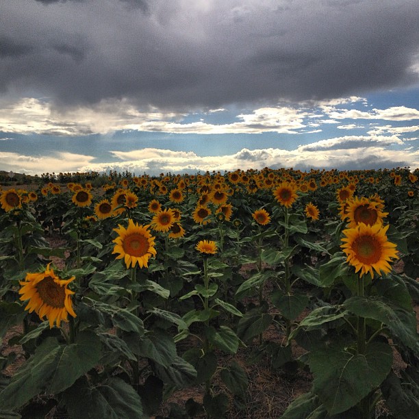
Mile High Sunflowers
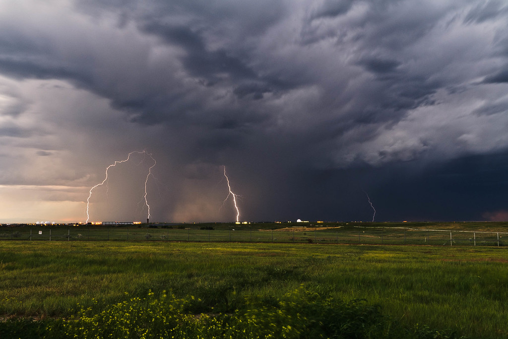
Quad strike

113/365: Mile high above the Mile High City

20170615_F0001: Away from civilisation
United clouds

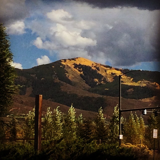
20170619_F0001: Evening sunlight over the Rockies

Sunflower Apocalypse - Explored
A Sunny Afternoon
#aspens

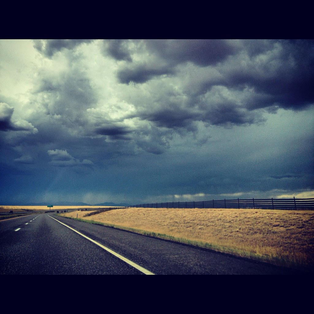
Storm clouds #colorado #cowx

2-XS_2012_08_19_9999_25
365/208

sunrise. #letstrythisagain
Rain and Light (VSCO Cam)

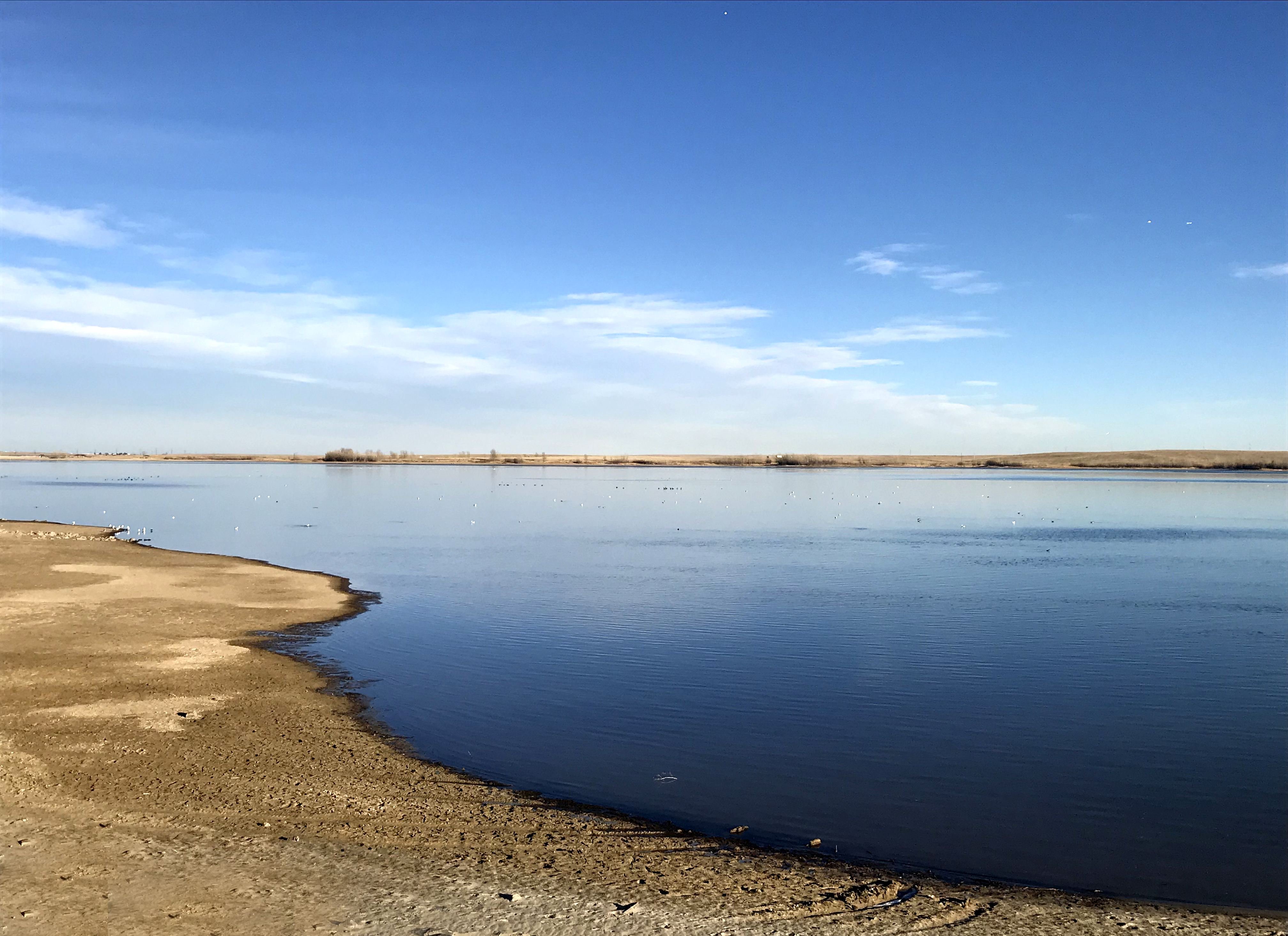
Somewhere Colorado

Landscape Rothkoesque
#cowx #colorado #sunflowers
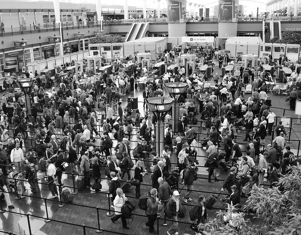
2.5 Hour Flight Delay
Picking up the family! #Colorado #Denver

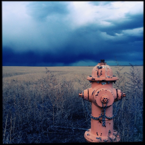
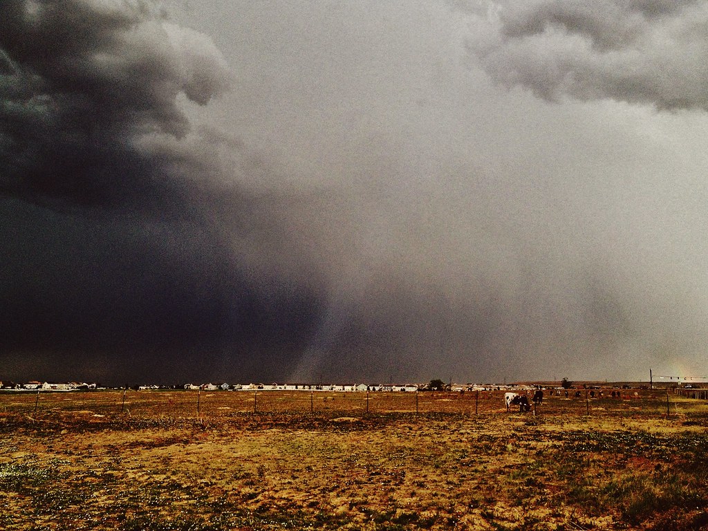
Cold War Relic and Storm
Topographic Map of Eclipse St, Watkins, CO, USA
Find elevation by address:

Places near Eclipse St, Watkins, CO, USA:
35265 E 10th Dr
Watkins
7337 Schumaker Rd
Denver Airport Station
Denver International Airport
8500 Peña Blvd
Denver International Airport
20973 E 45th Ave
5522 Liverpool St
21311 E 60th Ave
Bennett
6th St, Bennett, CO, USA
19540 E Batavia Dr
19115 55th Ave
Himalaya Rd, Denver, CO, USA
Green Valley Ranch Golf Club
Green Valley Ranch
19849 47th Dr
Gaylord Rockies Resort And Convention Center
Recent Searches:
- Elevation of Corso Fratelli Cairoli, 35, Macerata MC, Italy
- Elevation of Tallevast Rd, Sarasota, FL, USA
- Elevation of 4th St E, Sonoma, CA, USA
- Elevation of Black Hollow Rd, Pennsdale, PA, USA
- Elevation of Oakland Ave, Williamsport, PA, USA
- Elevation of Pedrógão Grande, Portugal
- Elevation of Klee Dr, Martinsburg, WV, USA
- Elevation of Via Roma, Pieranica CR, Italy
- Elevation of Tavkvetili Mountain, Georgia
- Elevation of Hartfords Bluff Cir, Mt Pleasant, SC, USA