Elevation of Eastern Shore Rd, Brooklyn, NS B0J 1H0, Canada
Location: Canada > Nova Scotia > Region Of Queens > Queens > Brooklyn >
Longitude: -64.629876
Latitude: 44.066775
Elevation: 11m / 36feet
Barometric Pressure: 101KPa
Elevation Map:
Satellite Map:
Related Photos:
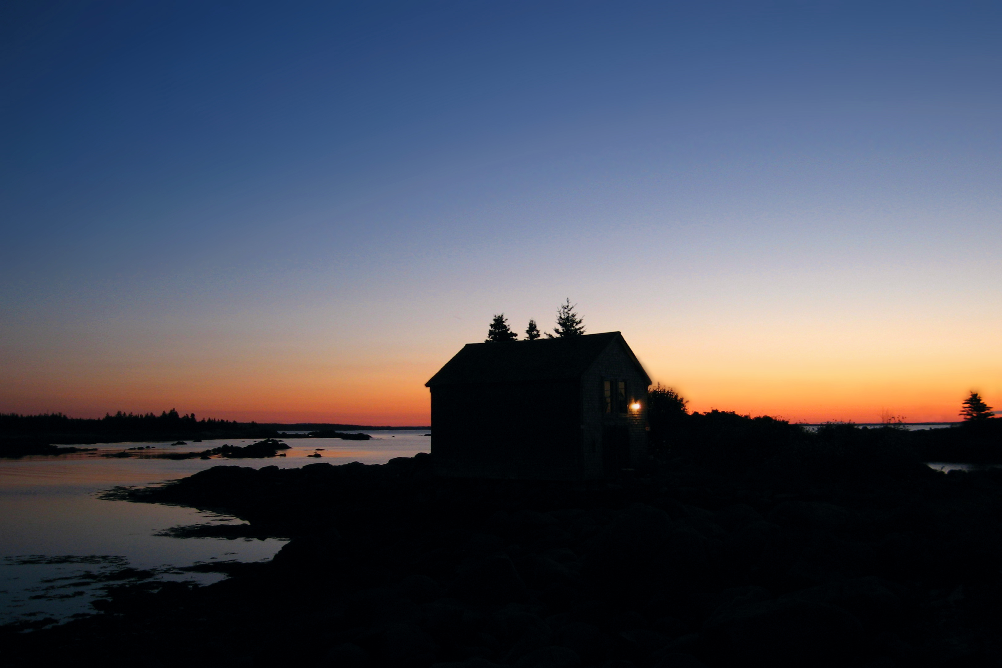
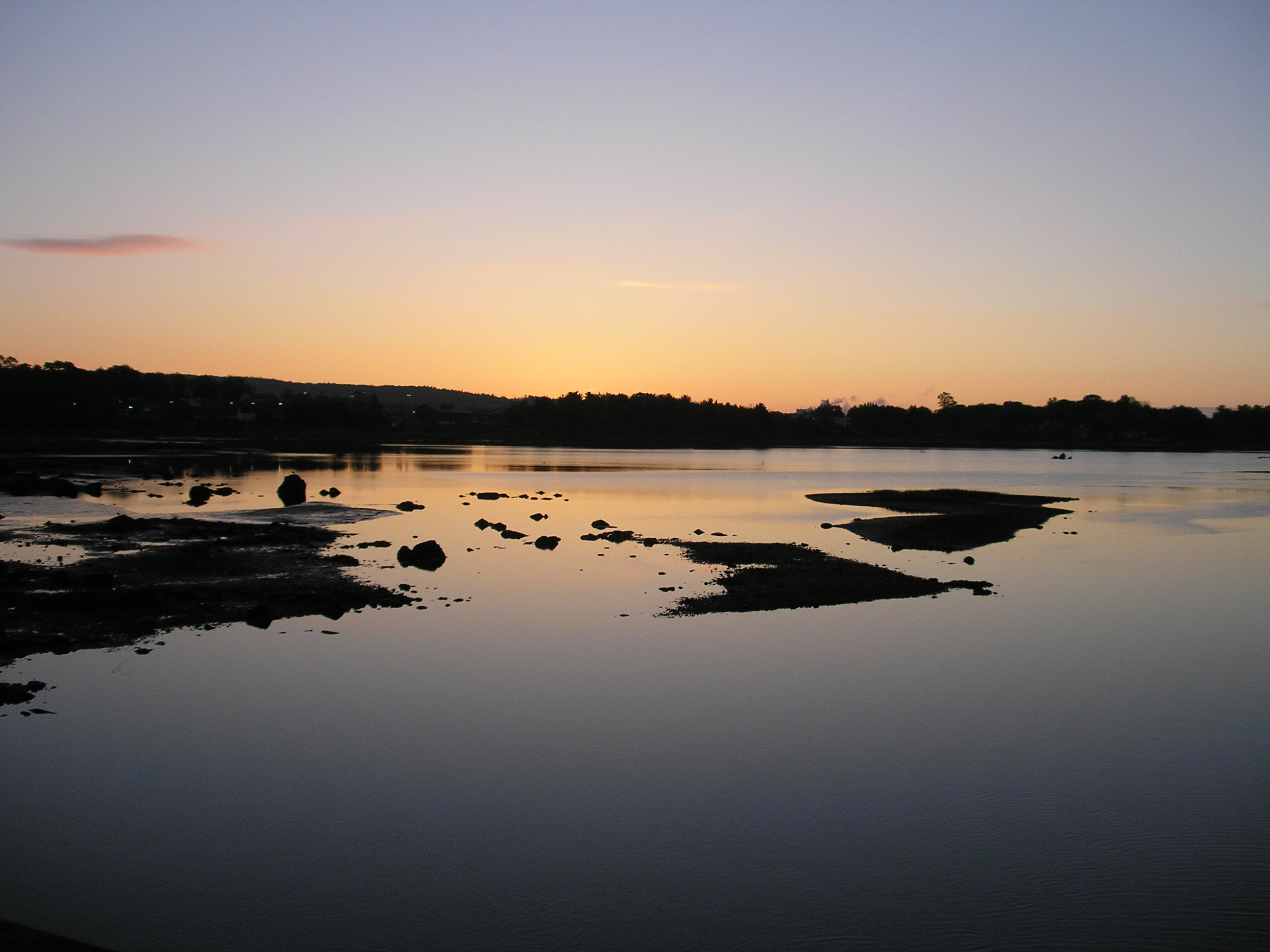
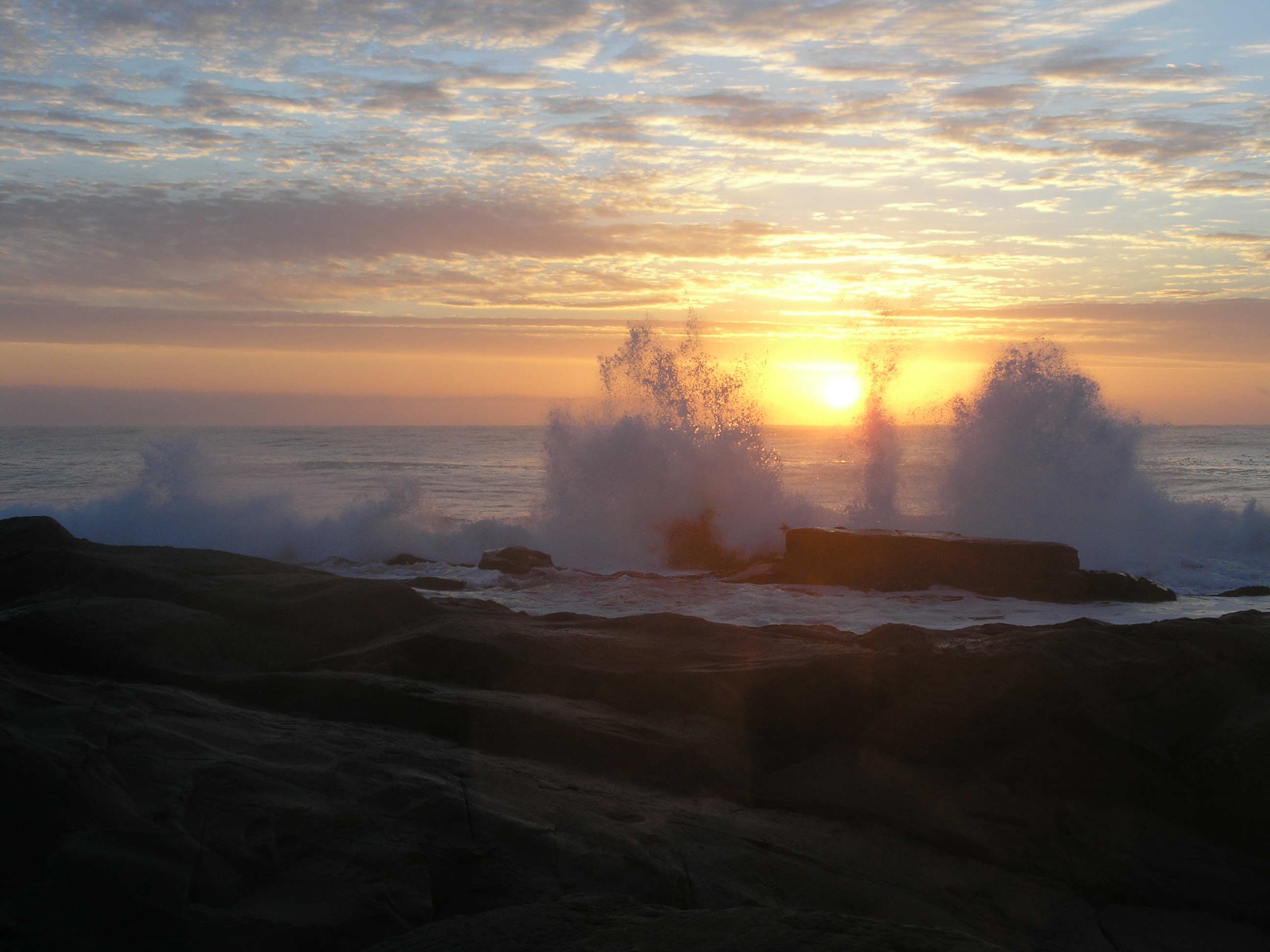
Nova Scotia Sunrise
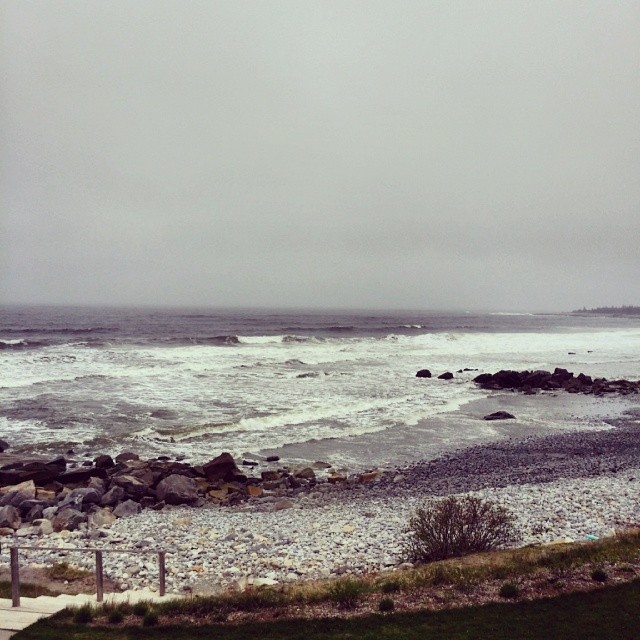
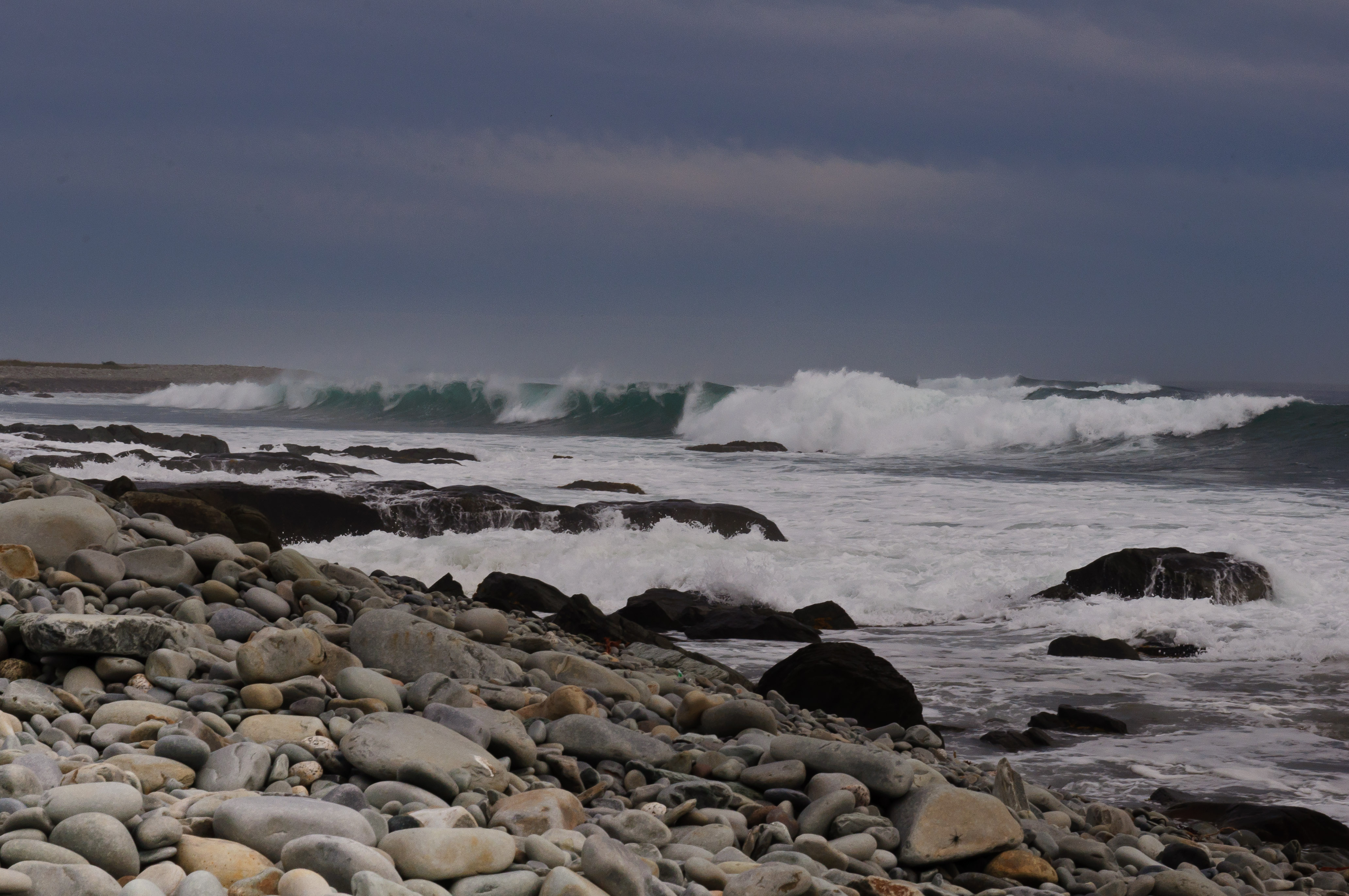
My view from the table here at White Point. Big waves today. #LITF
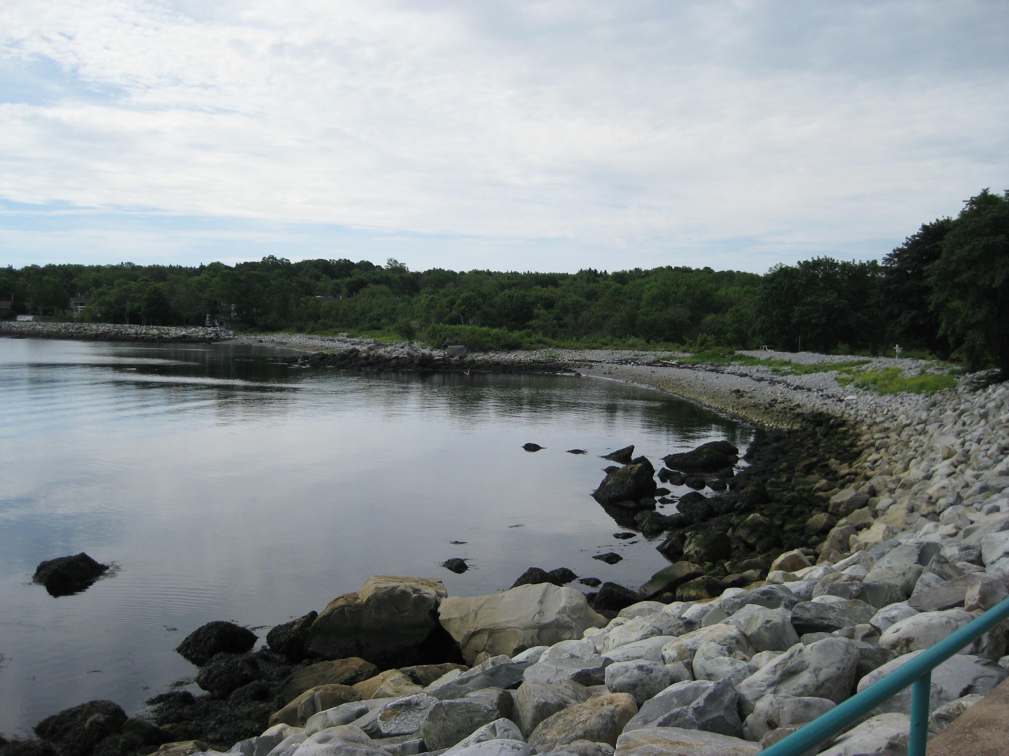
Scenic View at Fort Point
The (old) view out front
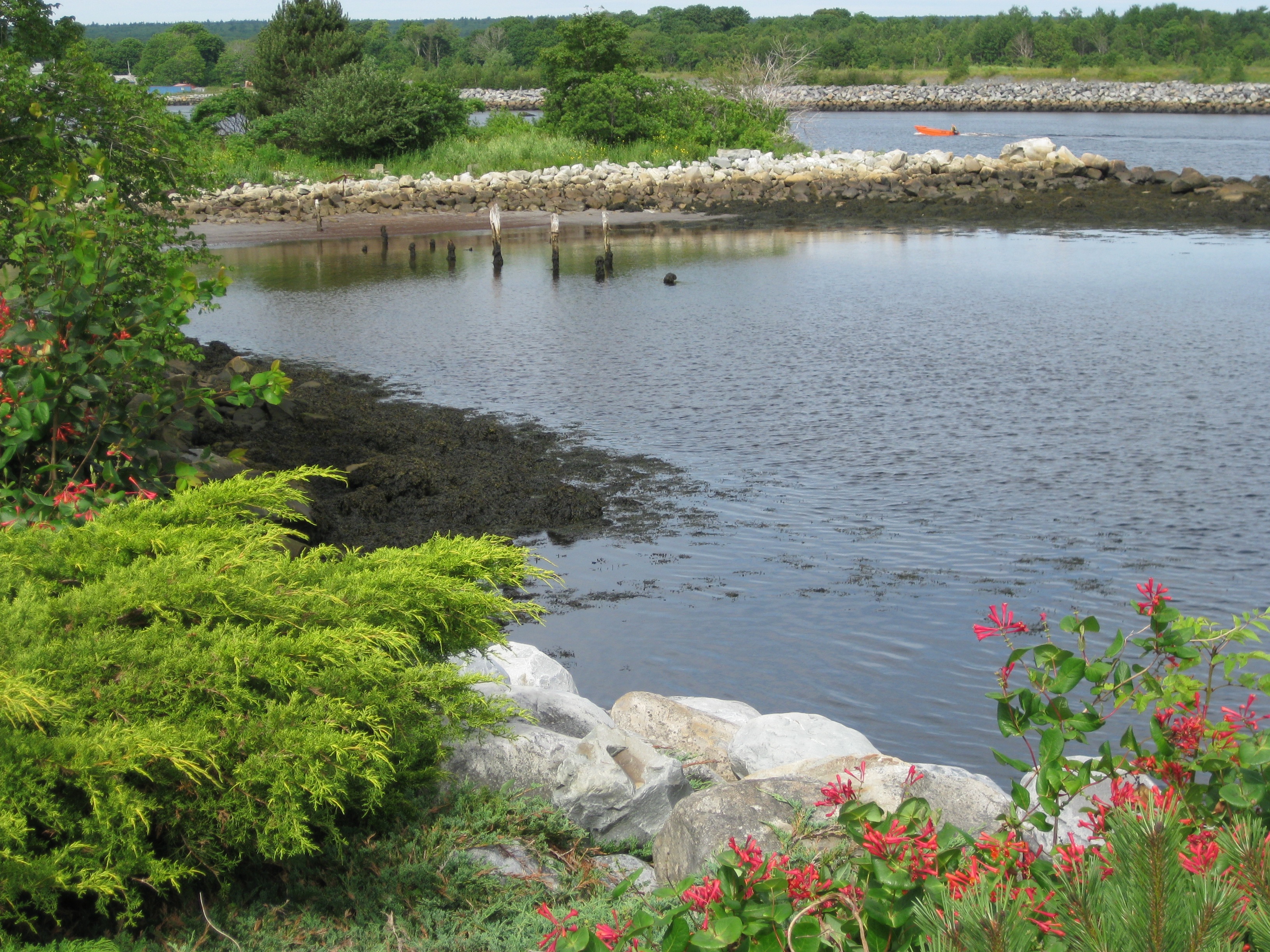
Scenic View at Fort Point
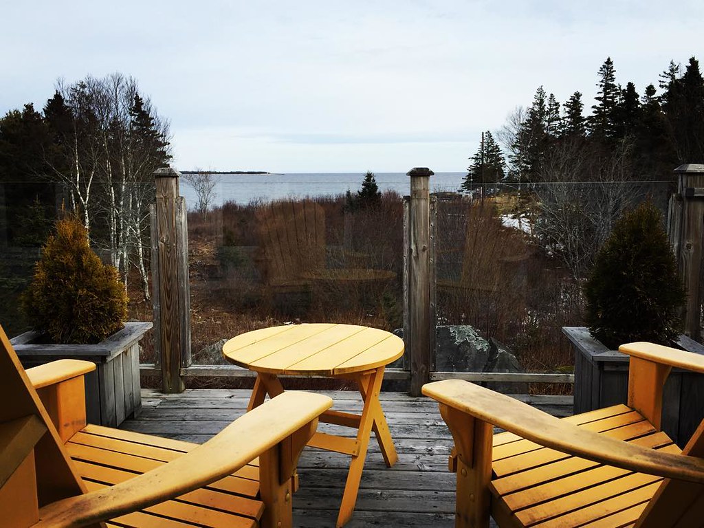
View from our balcony
The view from the office. No laptop... Moleskin. #digitalnomad #locationindependent #Liverpool #NS #canada
The new view. #liverpool #novascotia #ns #canada #travel #remotework #digitalnomad #housesitting
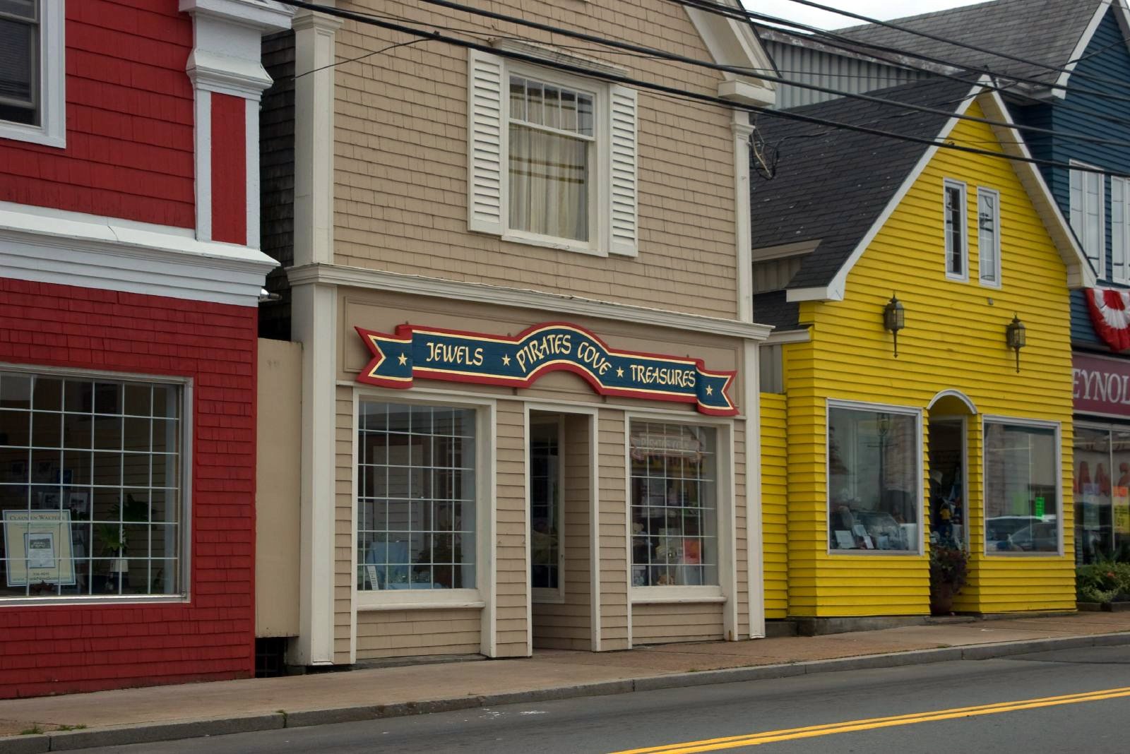
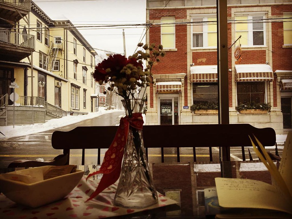
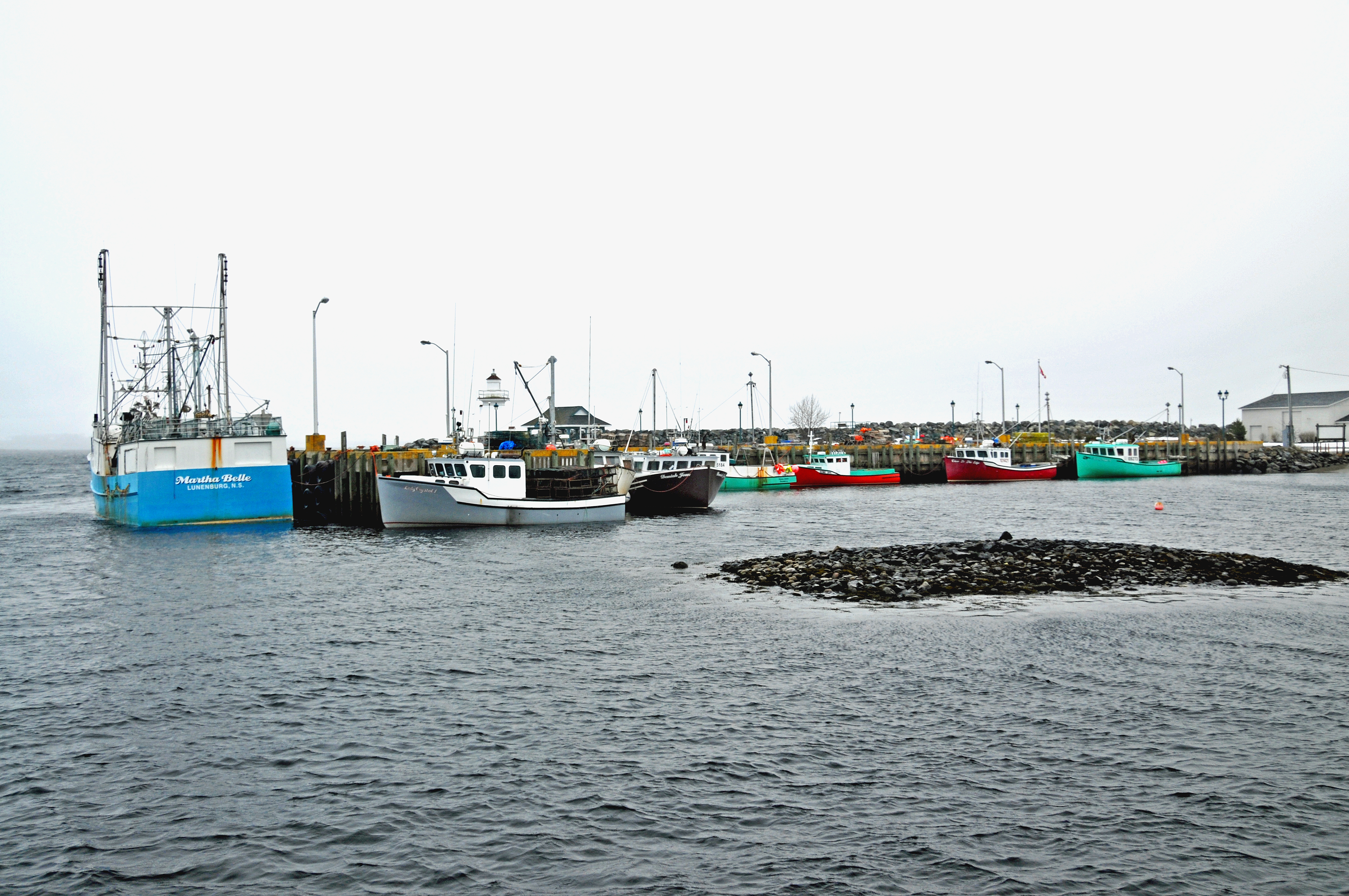
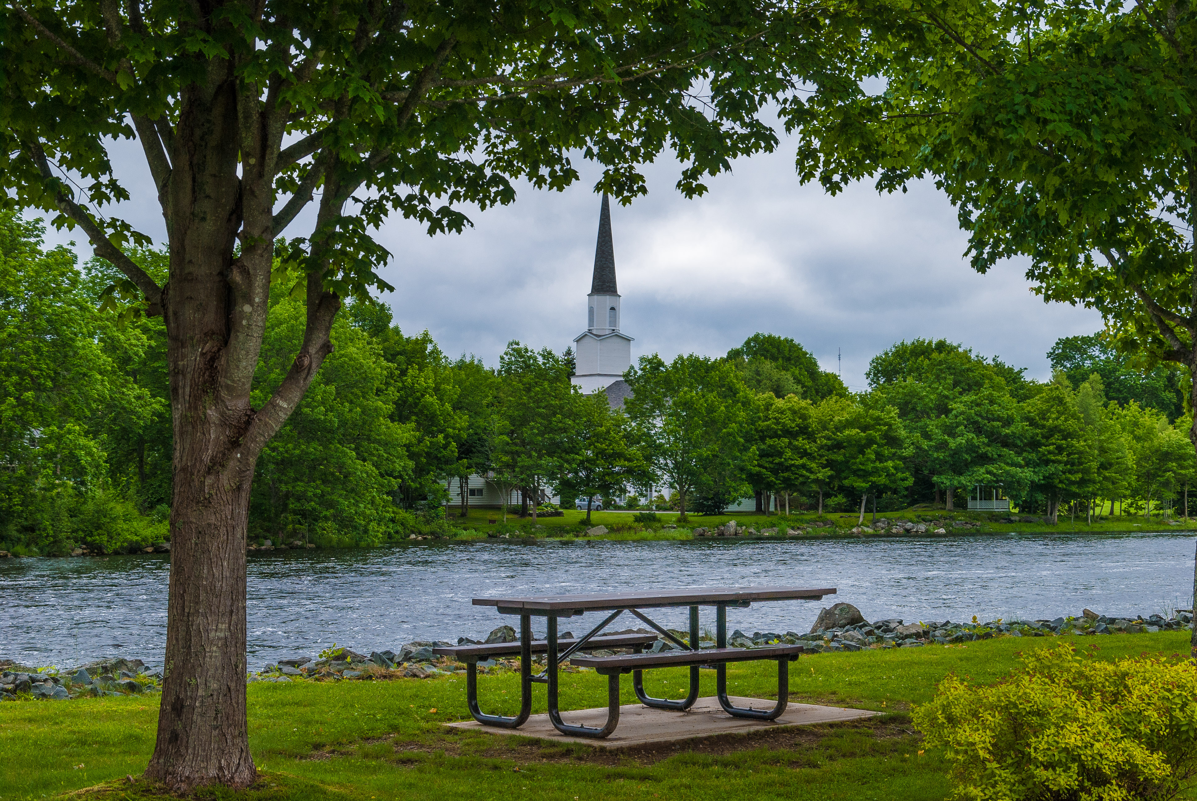
Liverpool, Nova Scotia
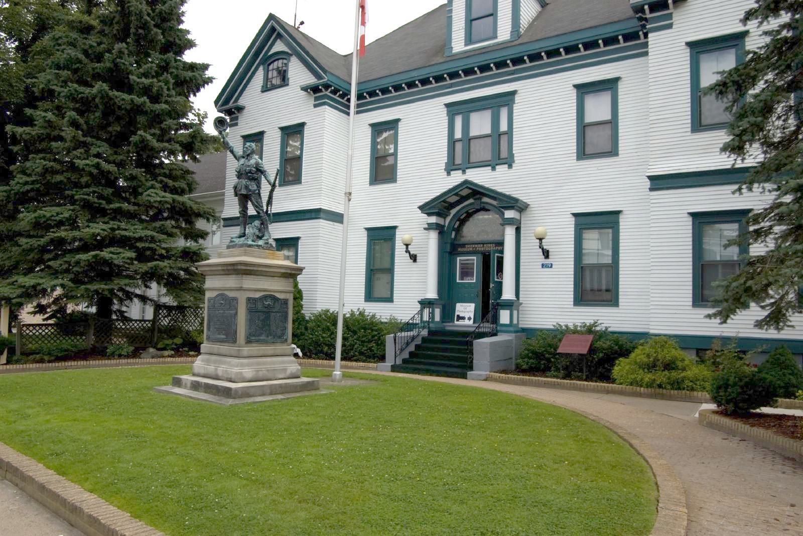
Sherman Hines Museum, Liverpool, Nova Scotia
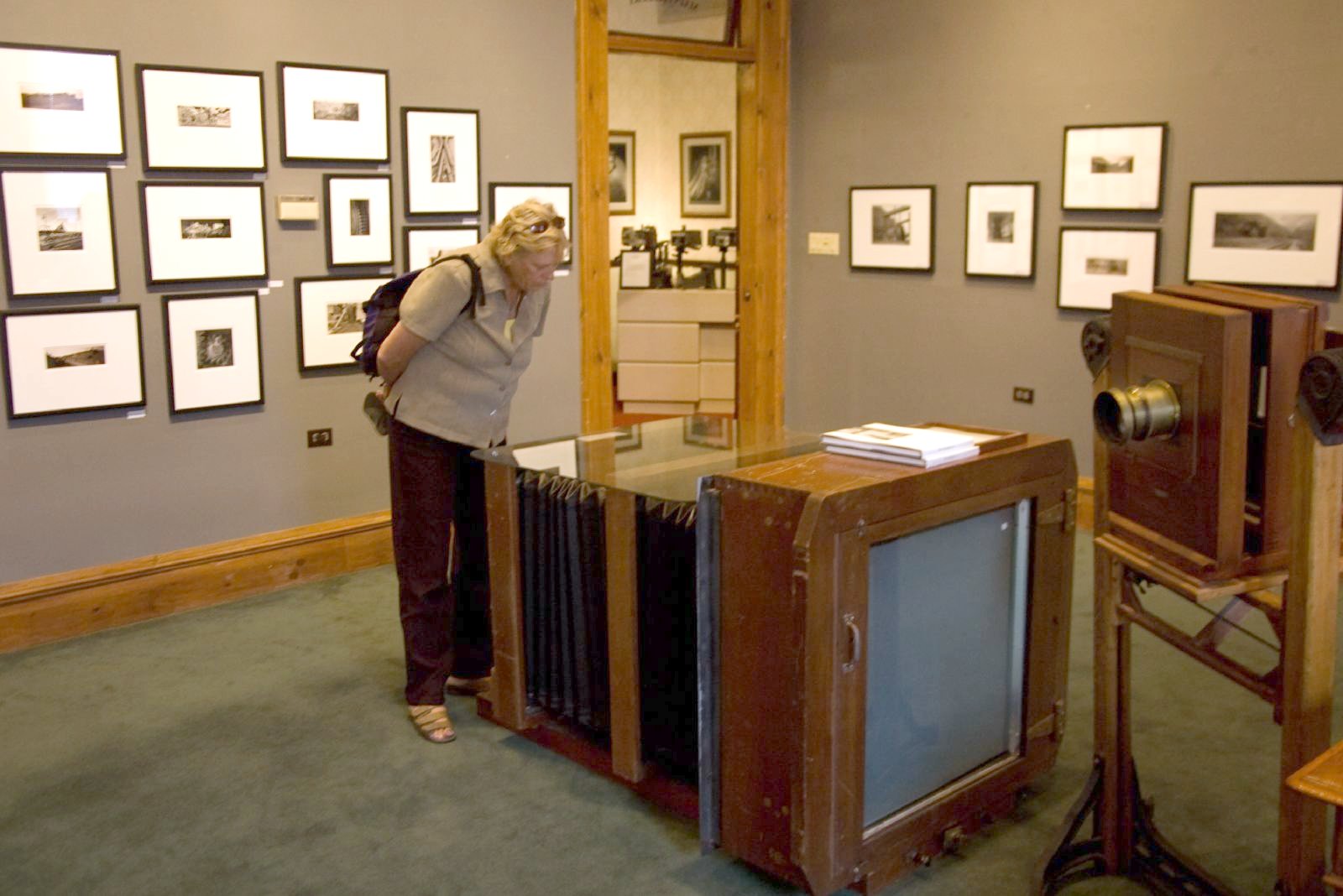
Sherman Hines Museum, Liverpool, Nova Scotia

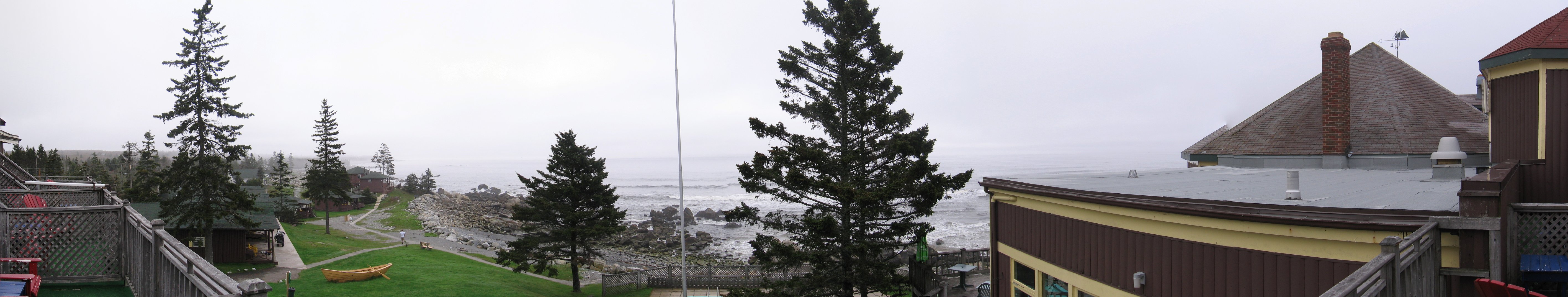
White Point Beach Resort
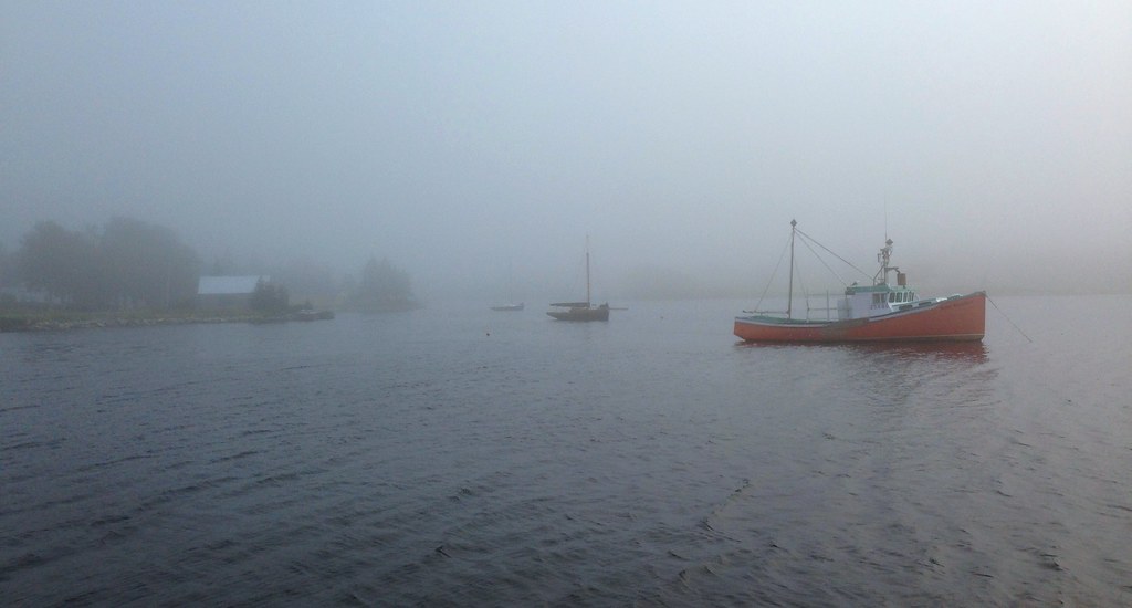
iPhone fog
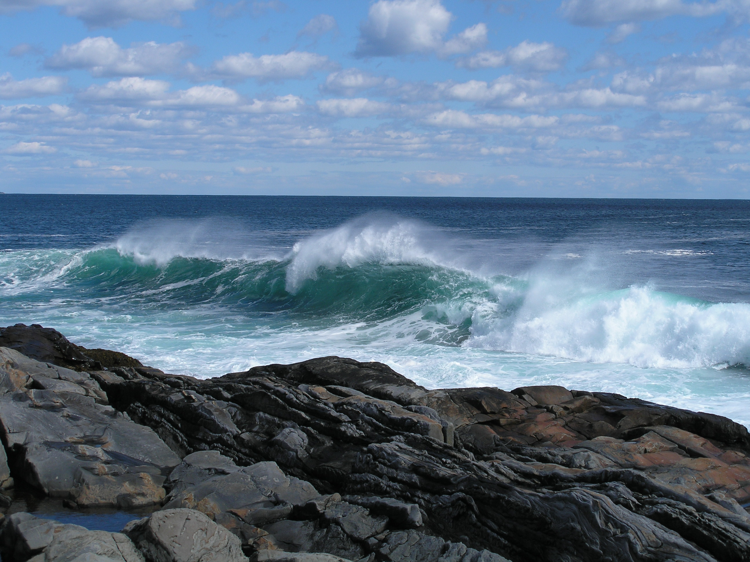
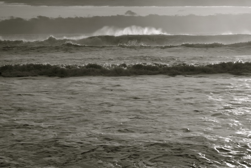
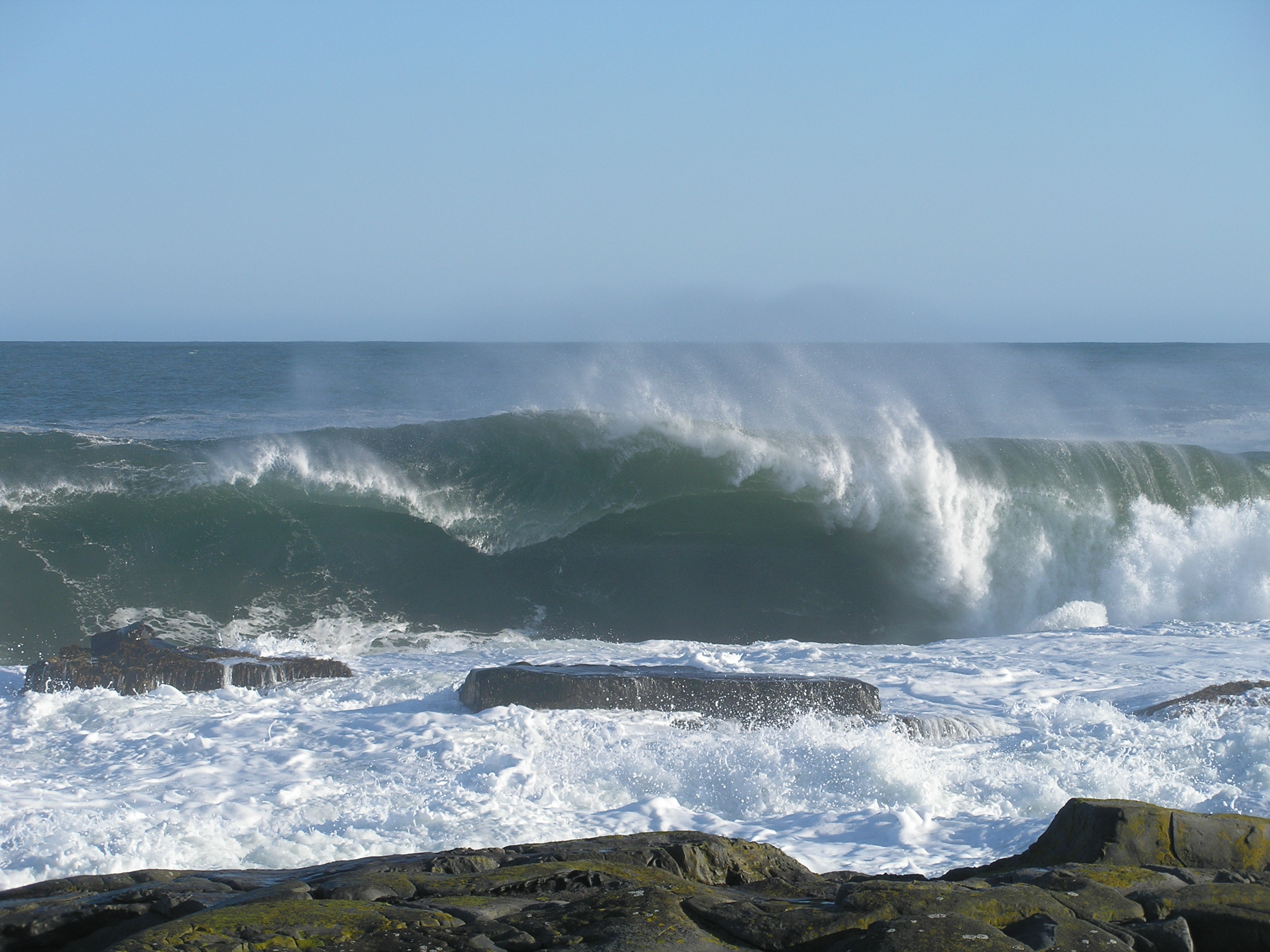
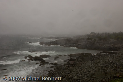
September's Swell Spray

NS, Canada
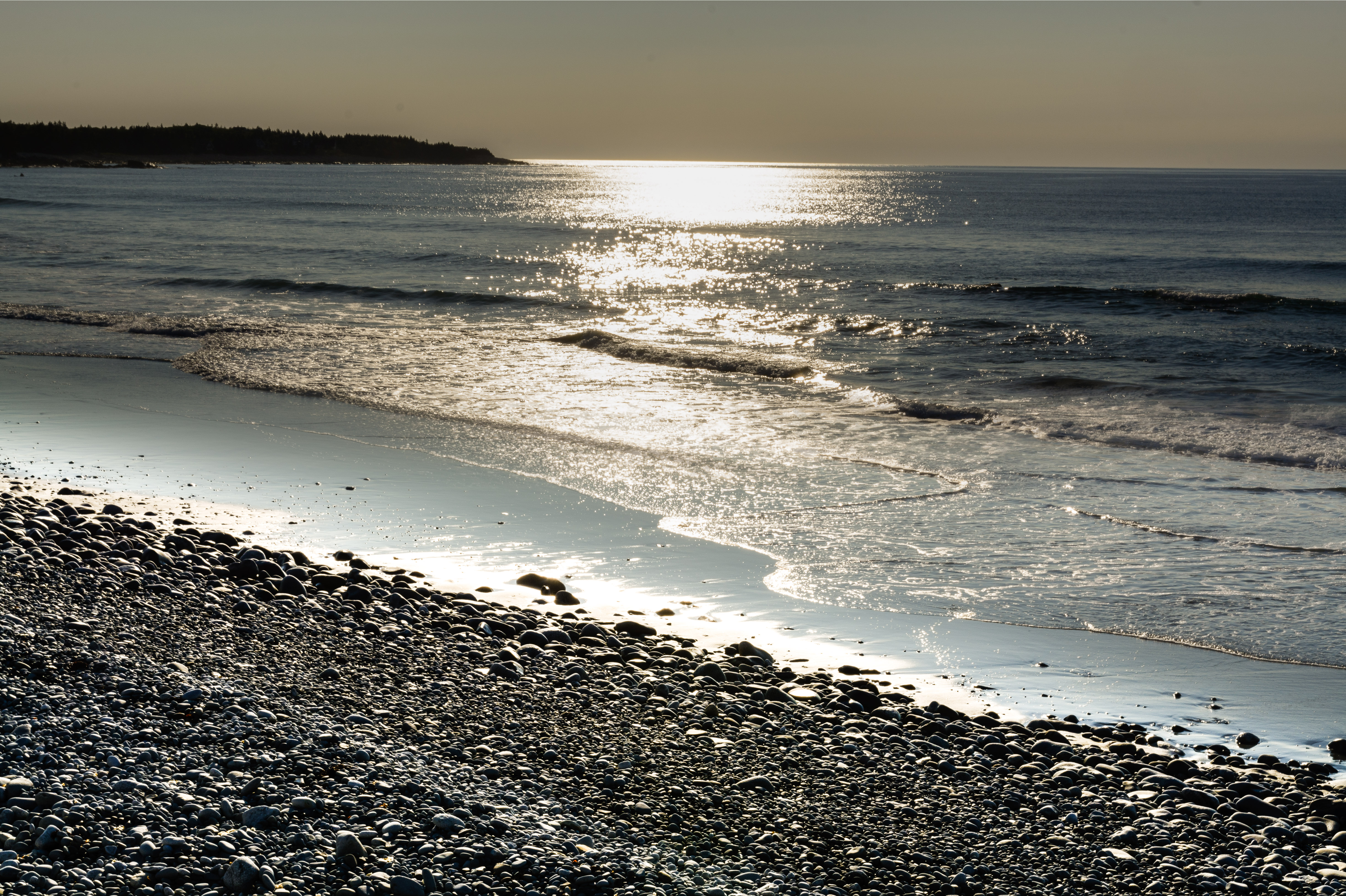
Mersey Sunup Uno
_DSC7082-Edit.jpg
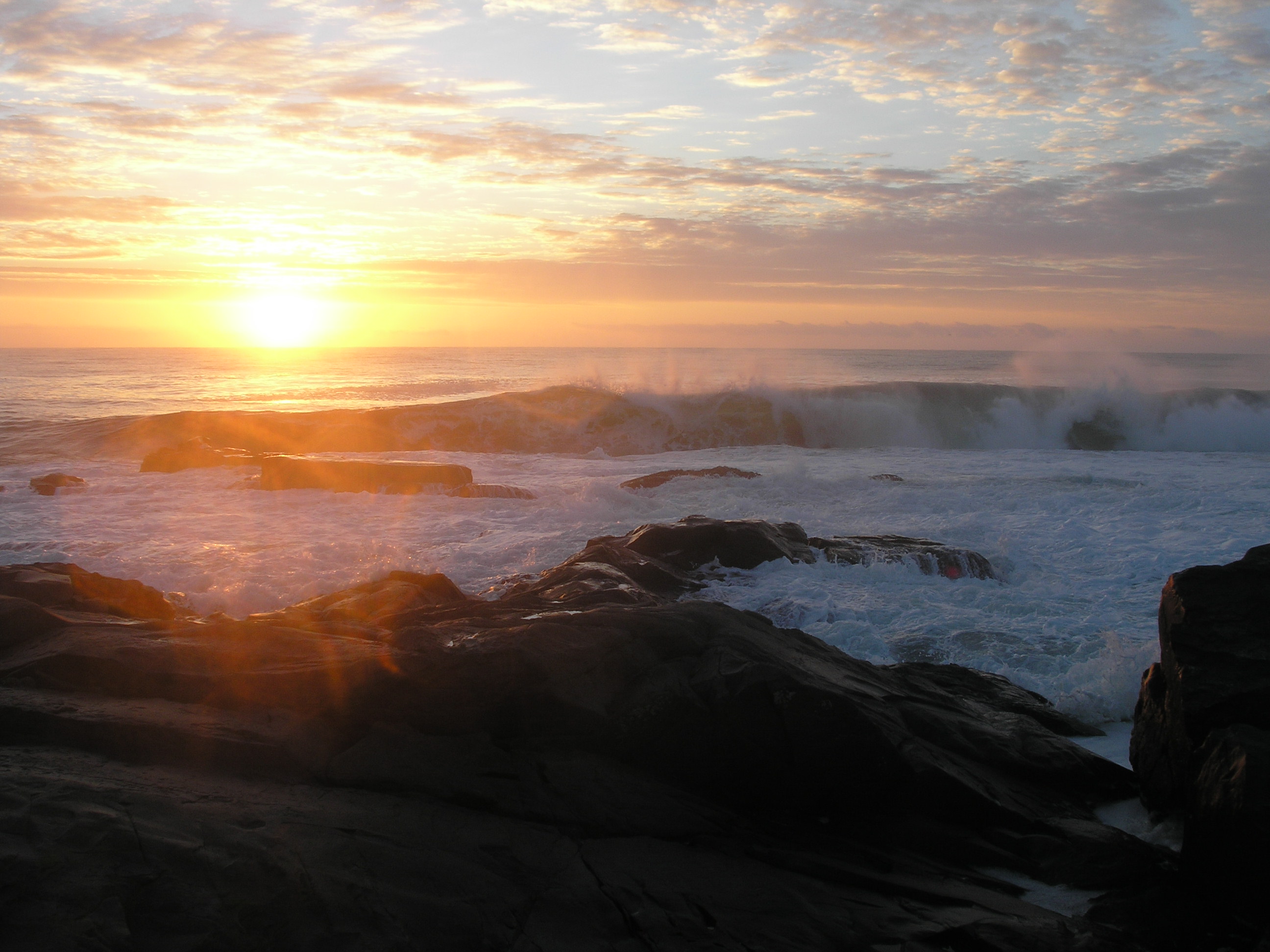
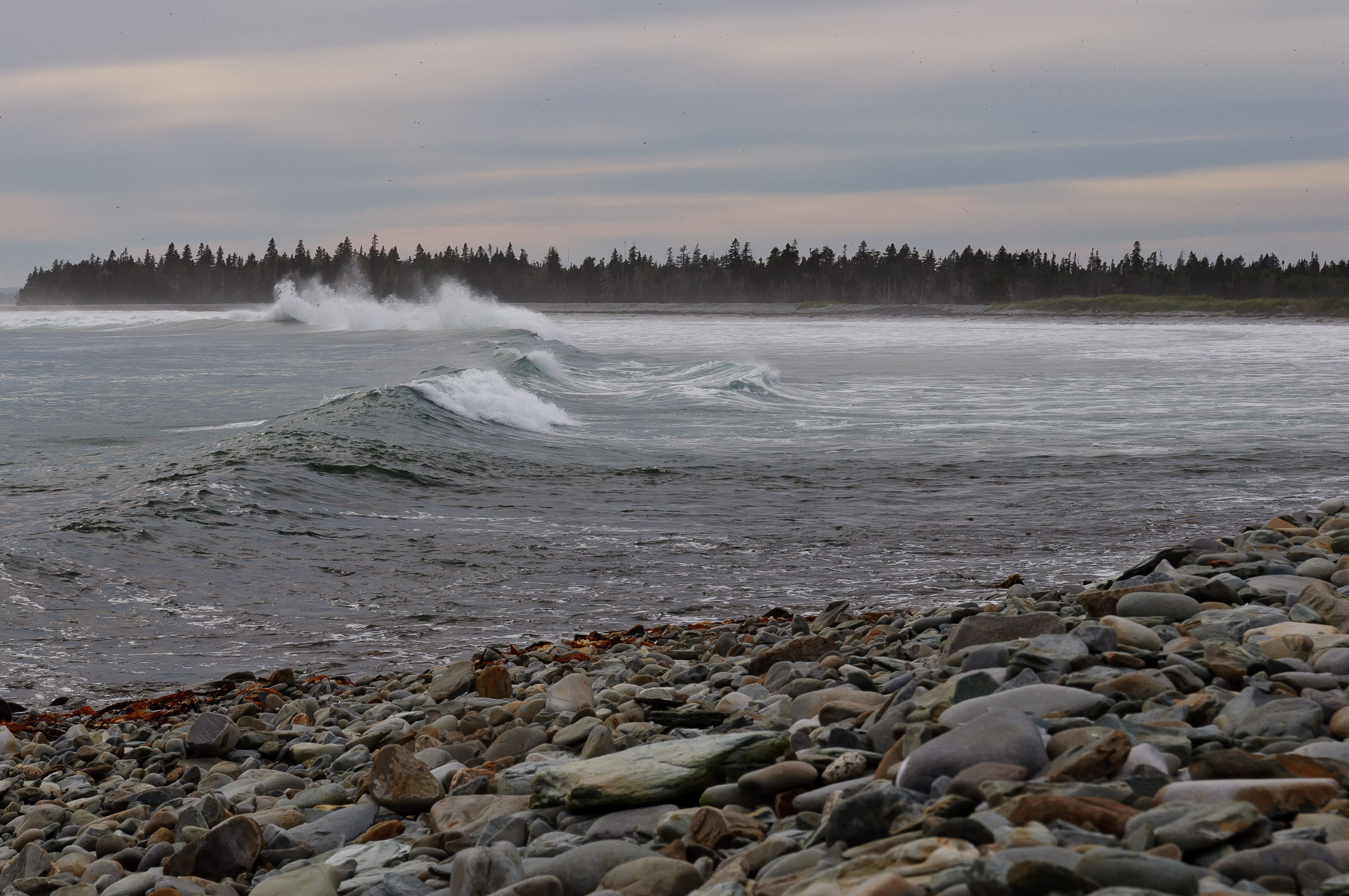
Daybreak Curl
DGJ_5001 - Port Medway (large is good)

_-16
Sun's Water Valley
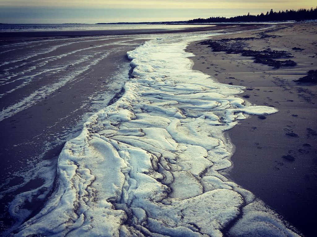
Cold day at the beach. Even the surf froze! #beach #NS #canada #travel #digitalnomad #locationindependent
DSC02345_2.JPG
_DSC4936.jpg
Pine Grove Park
DSC_4905.jpg
The Day After

_-19
Down Port
_DSC4904.jpg
Topographic Map of Eastern Shore Rd, Brooklyn, NS B0J 1H0, Canada
Find elevation by address:

Places near Eastern Shore Rd, Brooklyn, NS B0J 1H0, Canada:
960 Eastern Shore Rd
1125 Eastern Shore Rd
Eastern Shore Road
1022 Brooklyn Shore Rd
922 Brooklyn Shore Rd
Eastern Shore Rd, Brooklyn, NS B0J 1H0, Canada
Brooklyn
Shore Rd, Liverpool, NS B0T 1K0, Canada
548 Shore Rd
Green Hall Drive
946 Old Kettle Rd
46 Roxbury Rd
Mill Village
57 Medway River Rd
1600 Port Medway Rd
Port Medway
130 Mill Village Rd E
387 Long Cove Rd
Medway River Rd, Mill Village, NS B0J 2H0, Canada
Cherry Hill
Recent Searches:
- Elevation of Corso Fratelli Cairoli, 35, Macerata MC, Italy
- Elevation of Tallevast Rd, Sarasota, FL, USA
- Elevation of 4th St E, Sonoma, CA, USA
- Elevation of Black Hollow Rd, Pennsdale, PA, USA
- Elevation of Oakland Ave, Williamsport, PA, USA
- Elevation of Pedrógão Grande, Portugal
- Elevation of Klee Dr, Martinsburg, WV, USA
- Elevation of Via Roma, Pieranica CR, Italy
- Elevation of Tavkvetili Mountain, Georgia
- Elevation of Hartfords Bluff Cir, Mt Pleasant, SC, USA