Elevation map of Region of Queens, NS, Canada
Location: Canada > Nova Scotia >
Longitude: -64.955990
Latitude: 44.1631163
Elevation: 59m / 194feet
Barometric Pressure: 101KPa
Elevation Map:
Satellite Map:
Related Photos:

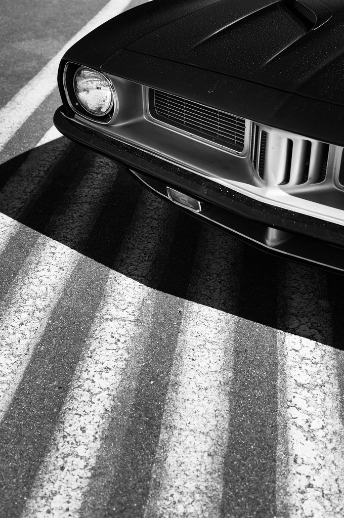
Sled Run

Billy Blasts Off

Track Day Dart

Hot Pursuit

Ervin Altitude
Pickup Power

Straight Forward

#AMX

Off the Line

Hot Start
Blue Streak
Too Pretty for the Strip
Pit Lane

Bad to the Bone
Sunday at the Drag Strip

The Gambler

And Now a Word from Our Sponsors

The Green Monster

Once a Shelby, Now a Beast

Hot Rodded

Load Me Up
Topographic Map of Region of Queens, NS, Canada
Find elevation by address:

Places in Region of Queens, NS, Canada:
Places near Region of Queens, NS, Canada:
Queens
B0t 1e0
Nova Scotia Trunk 8, Greenfield, NS B0T 1E0, Canada
842 Salmon Bay Dr
Greenfield
Hibernia Rd, South Brookfield, NS B0T 1X0, Canada
8474 Nova Scotia Trunk 8
8474 Nova Scotia Trunk 8
8474 Nova Scotia Trunk 8
Nova Scotia Trunk 8, Queens, NS B0T, Canada
B0t 1p0
South Brookfield
B0t 1b0
1866 Hibernia Rd
374 West St
Caledonia
Milton
41 Milford St
South Queens Water Treatment Facility
Nova Scotia Trunk 3, Hunts Point, NS B0T 1G0, Canada
Recent Searches:
- Elevation of Corso Fratelli Cairoli, 35, Macerata MC, Italy
- Elevation of Tallevast Rd, Sarasota, FL, USA
- Elevation of 4th St E, Sonoma, CA, USA
- Elevation of Black Hollow Rd, Pennsdale, PA, USA
- Elevation of Oakland Ave, Williamsport, PA, USA
- Elevation of Pedrógão Grande, Portugal
- Elevation of Klee Dr, Martinsburg, WV, USA
- Elevation of Via Roma, Pieranica CR, Italy
- Elevation of Tavkvetili Mountain, Georgia
- Elevation of Hartfords Bluff Cir, Mt Pleasant, SC, USA