Elevation map of Queens, NS, Canada
Location: Canada > Nova Scotia > Region Of Queens >
Longitude: -64.9800208
Latitude: 44.2372313
Elevation: 85m / 279feet
Barometric Pressure: 0KPa
Related Photos:
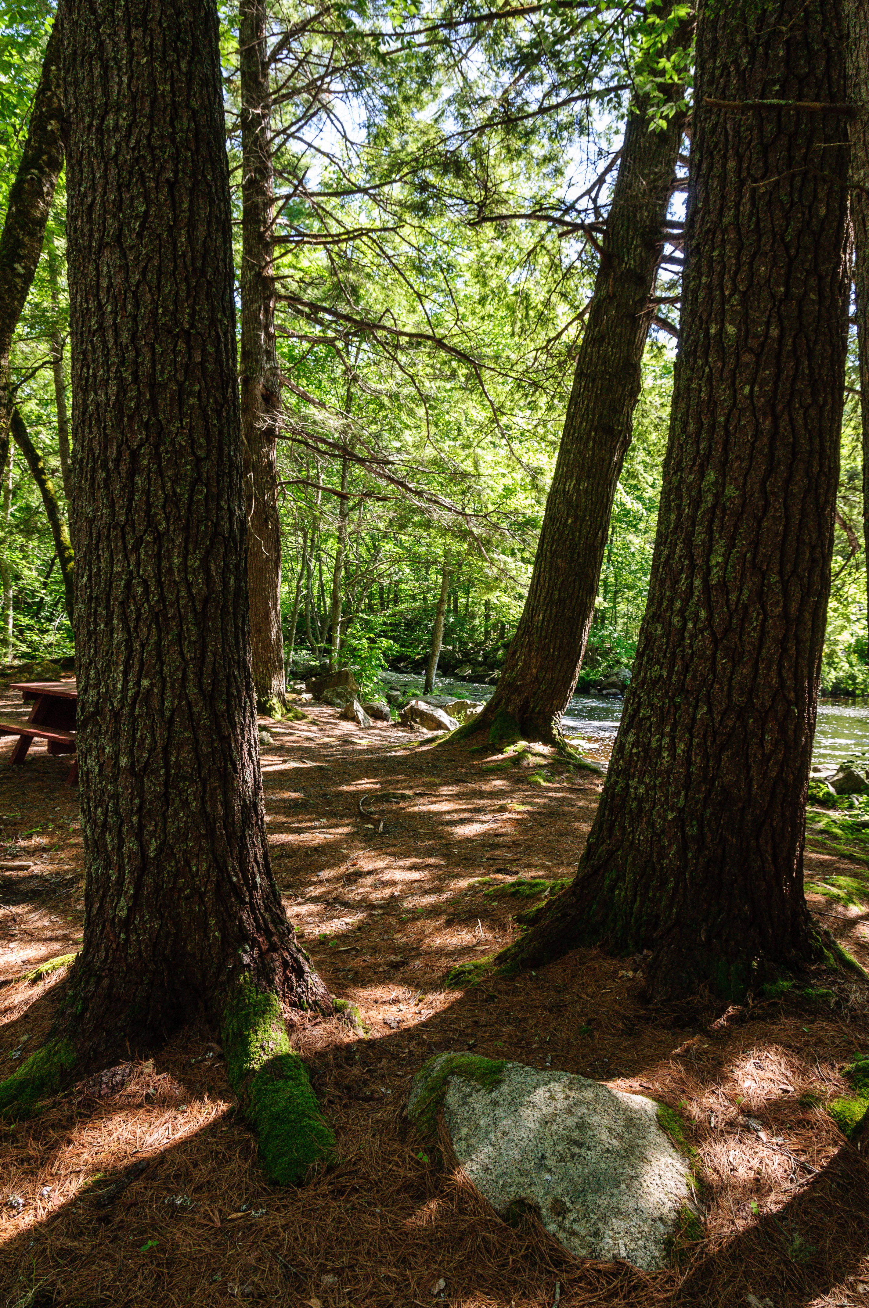
_DSC4919.jpg
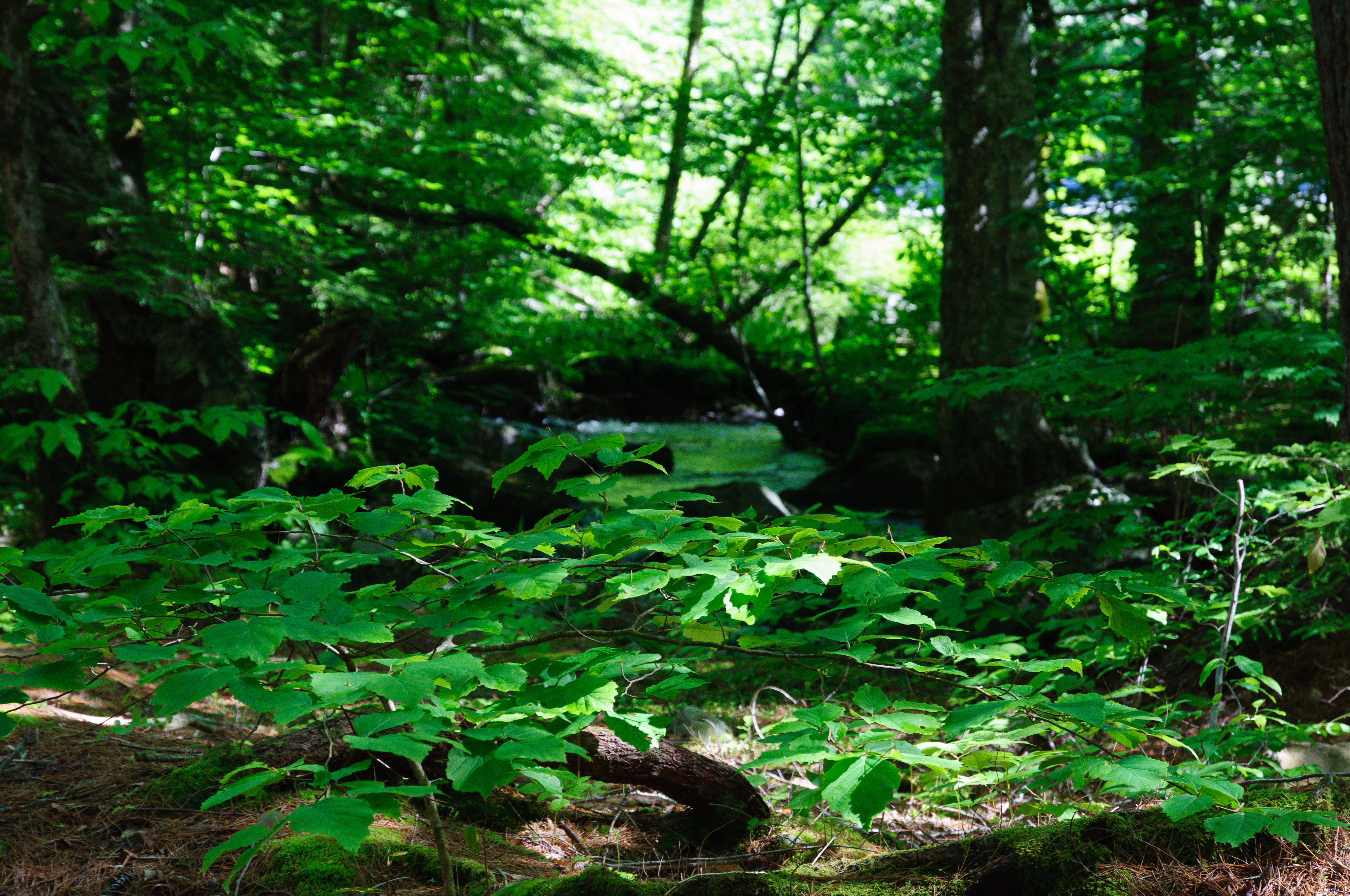
_DSC4952.jpg
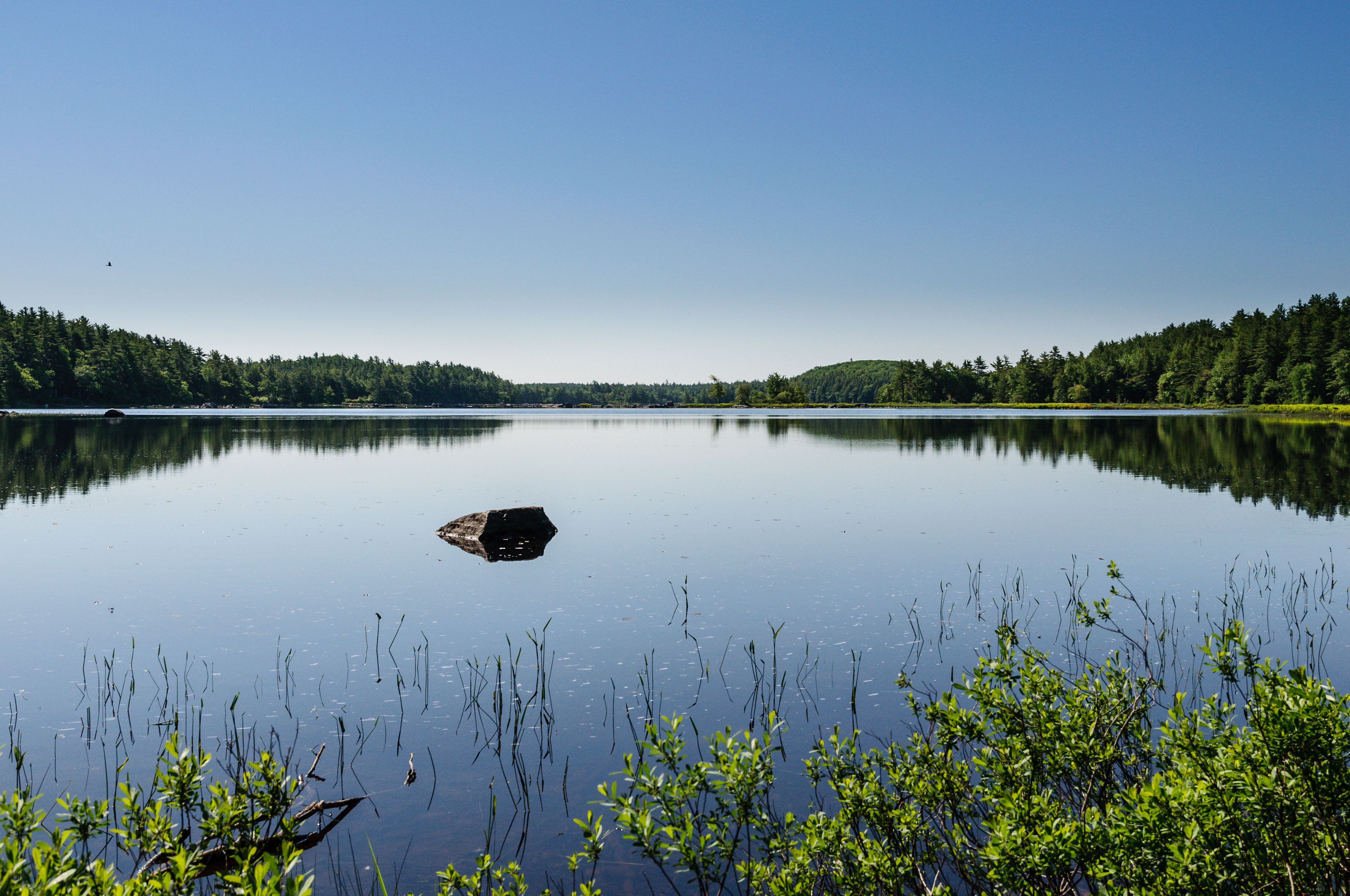
_DSC4982.jpg
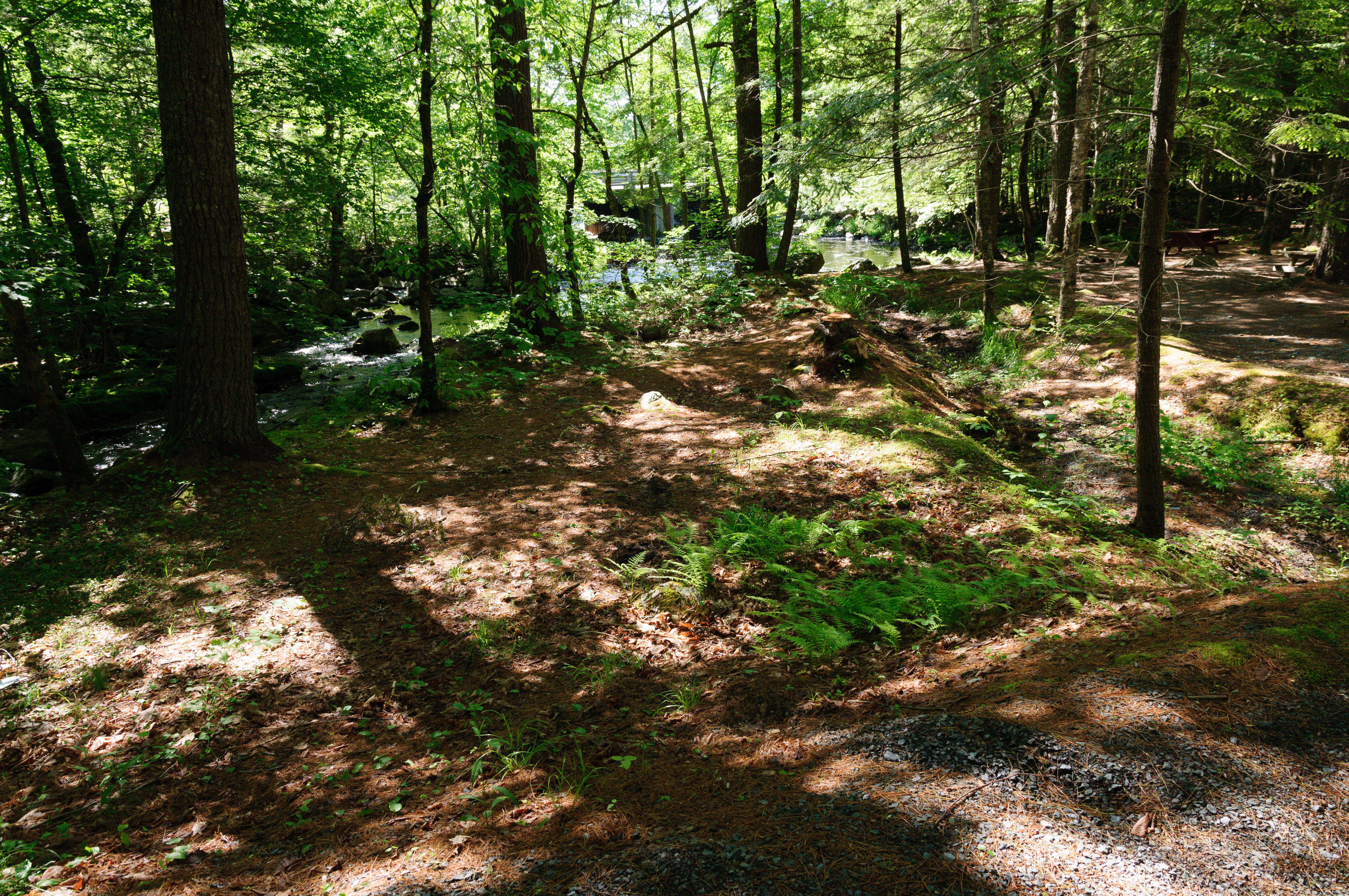
Ponhook Lake
_DSC4914.jpg

Sled Run

Billy Blasts Off

Track Day Dart

Hot Pursuit

Ervin Altitude

Pickup Power

Straight Forward

#AMX

Off the Line

Hot Start

Blue Streak

Too Pretty for the Strip

Pit Lane

Bad to the Bone

Sunday at the Drag Strip

The Gambler
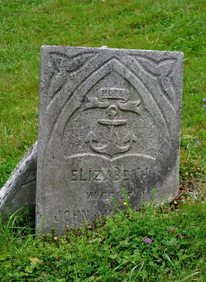
An old cemetery
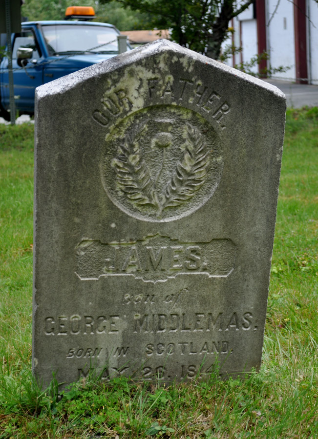
An old cemetery

An old cemetery
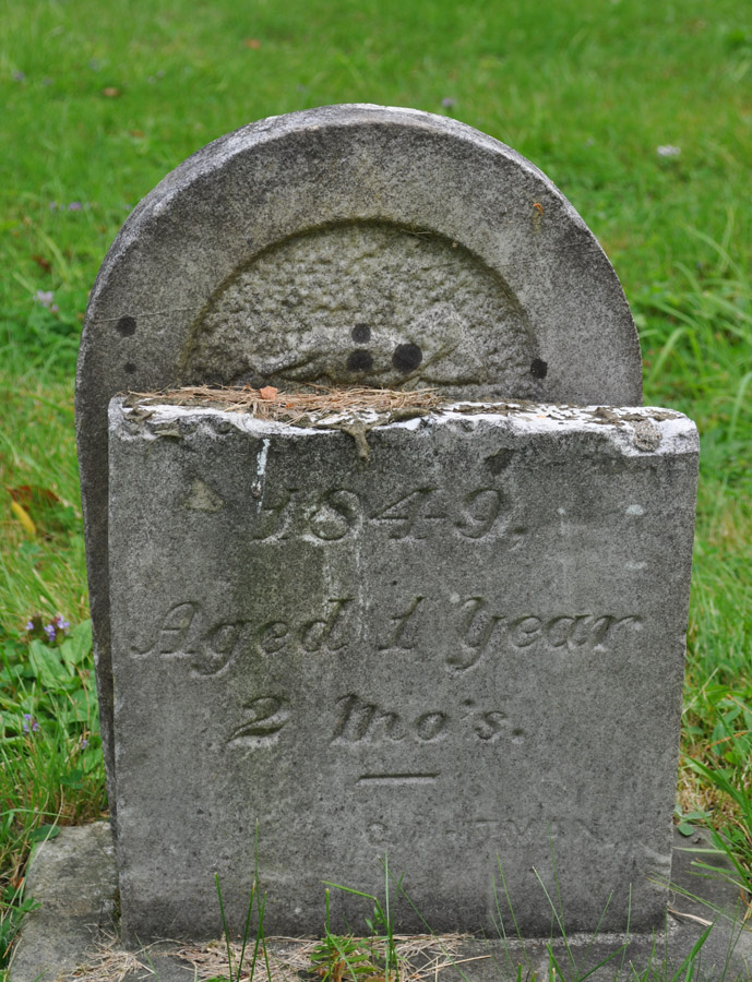
An old cemetery
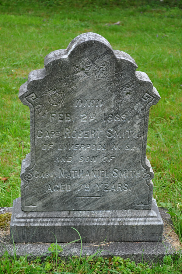
An old cemetery
Topographic Map of Queens, NS, Canada
Find elevation by address:

Places in Queens, NS, Canada:
South Brookfield
Brooklyn
Port Joli
Caledonia
Greenfield
Port Mouton
Liverpool
Mill Village
East Side Port L'hebert
Port Medway
Nova Scotia Trunk 8, Queens, NS B0T, Canada
Hunts Point
Nova Scotia Trunk 3, Hunts Point, NS B0T 1G0, Canada
Milton
Whitman Inn
Places near Queens, NS, Canada:
Region Of Queens
Hibernia Rd, South Brookfield, NS B0T 1X0, Canada
8474 Nova Scotia Trunk 8
8474 Nova Scotia Trunk 8
8474 Nova Scotia Trunk 8
842 Salmon Bay Dr
B0t 1e0
Nova Scotia Trunk 8, Greenfield, NS B0T 1E0, Canada
South Brookfield
Greenfield
1866 Hibernia Rd
Caledonia
B0t 1b0
Old Westfield Rd, Caledonia, NS B0T 1B0, Canada
Old Harmony Rd, Caledonia, NS B0T 1B0, Canada
132 Harlow Rd
2031 New Elm Rd
New Elm Rd, South Brookfield, NS B0T 1X0, Canada
New Elm Road
New Elm Road
Recent Searches:
- Elevation of 8, Rue de Bécancour, Blainville, Thérèse-De Blainville, Quebec, J7B1N2, Canada
- Elevation of Wilmot Court North, 163, University Avenue West, Northdale, Waterloo, Region of Waterloo, Ontario, N2L6B6, Canada
- Elevation map of Panamá Province, Panama
- Elevation of Balboa, Panamá Province, Panama
- Elevation of San Miguel, Balboa, Panamá Province, Panama
- Elevation of Isla Gibraleón, San Miguel, Balboa, Panamá Province, Panama
- Elevation of 4655, Krischke Road, Schulenburg, Fayette County, Texas, 78956, USA
- Elevation of Carnegie Avenue, Downtown Cleveland, Cleveland, Cuyahoga County, Ohio, 44115, USA
- Elevation of Walhonding, Coshocton County, Ohio, USA
- Elevation of Clifton Down, Clifton, Bristol, City of Bristol, England, BS8 3HU, United Kingdom
- Elevation map of Auvergne-Rhône-Alpes, France
- Elevation map of Upper Savoy, Auvergne-Rhône-Alpes, France
- Elevation of Chamonix-Mont-Blanc, Upper Savoy, Auvergne-Rhône-Alpes, France
- Elevation of 908, Northwood Drive, Bridge Field, Chesapeake, Virginia, 23322, USA
- Elevation map of Nagano Prefecture, Japan
- Elevation of 587, Bascule Drive, Oakdale, Stanislaus County, California, 95361, USA
- Elevation of Stadion Wankdorf, Sempachstrasse, Breitfeld, Bern, Bern-Mittelland administrative district, Bern, 3014, Switzerland
- Elevation of Z024, 76, Emil-von-Behring-Straße, Marbach, Marburg, Landkreis Marburg-Biedenkopf, Hesse, 35041, Germany
- Elevation of Gaskill Road, Hunts Cross, Liverpool, England, L24 9PH, United Kingdom
- Elevation of Speke, Liverpool, England, L24 9HD, United Kingdom