Elevation of East Side Dr, Verona Island, ME, USA
Location: United States > Maine > Hancock County > Verona Island >
Longitude: -68.763829
Latitude: 44.5192523
Elevation: 16m / 52feet
Barometric Pressure: 101KPa
Elevation Map:
Satellite Map:
Related Photos:
Penobscot Observatory
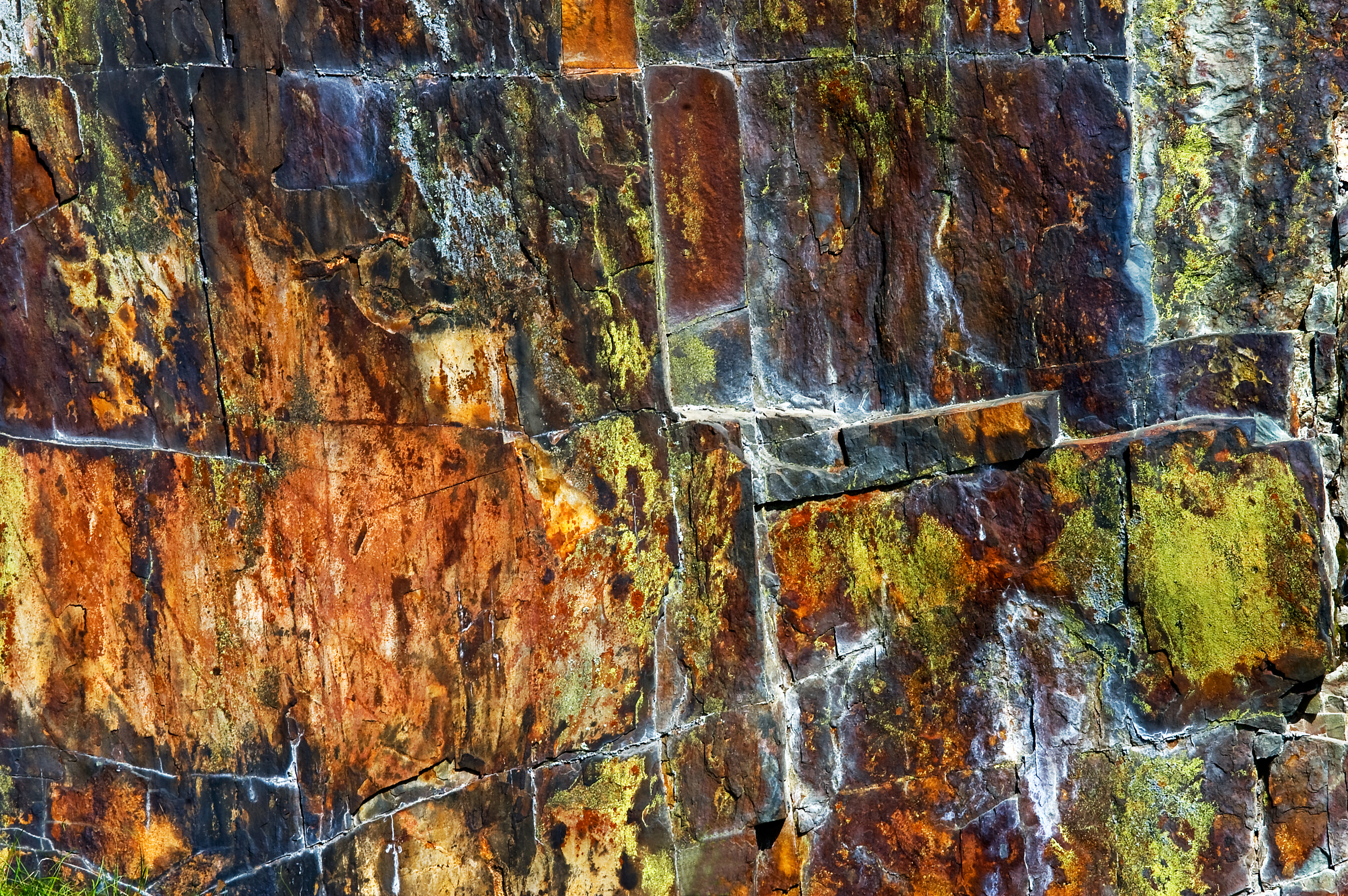
Rust Can Be Beautiful
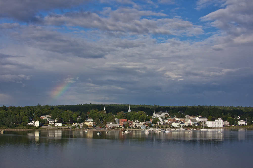
Dyce Head Light in Castine, Maine
Campsite, Sears Island, Maine
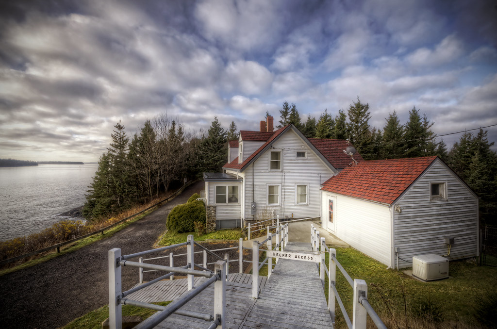
Keeper's Access
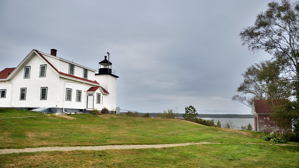
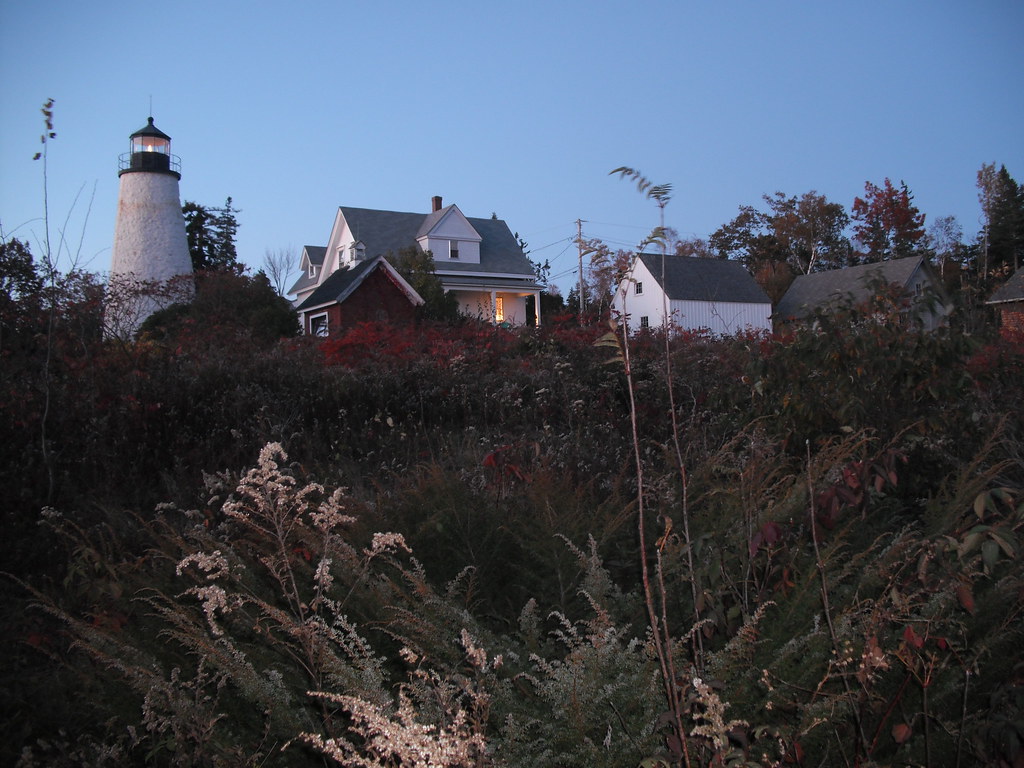
Fort Point Lighthouse, Maine
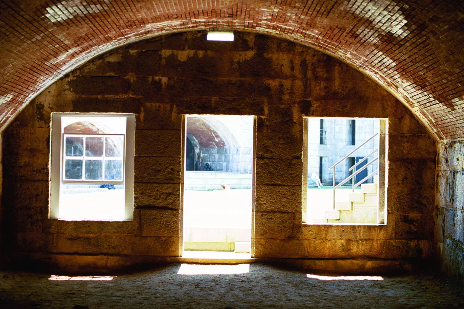
Room with a View

Magnifier View
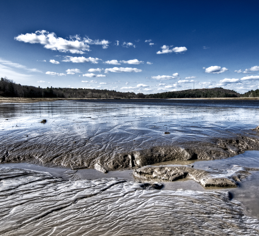
Mud to Sky
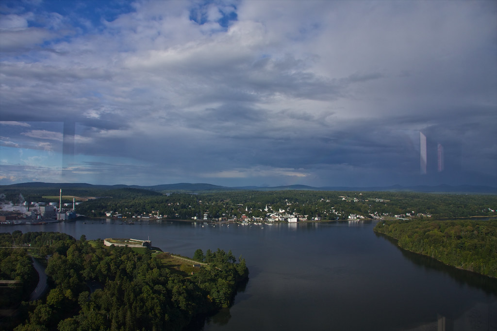
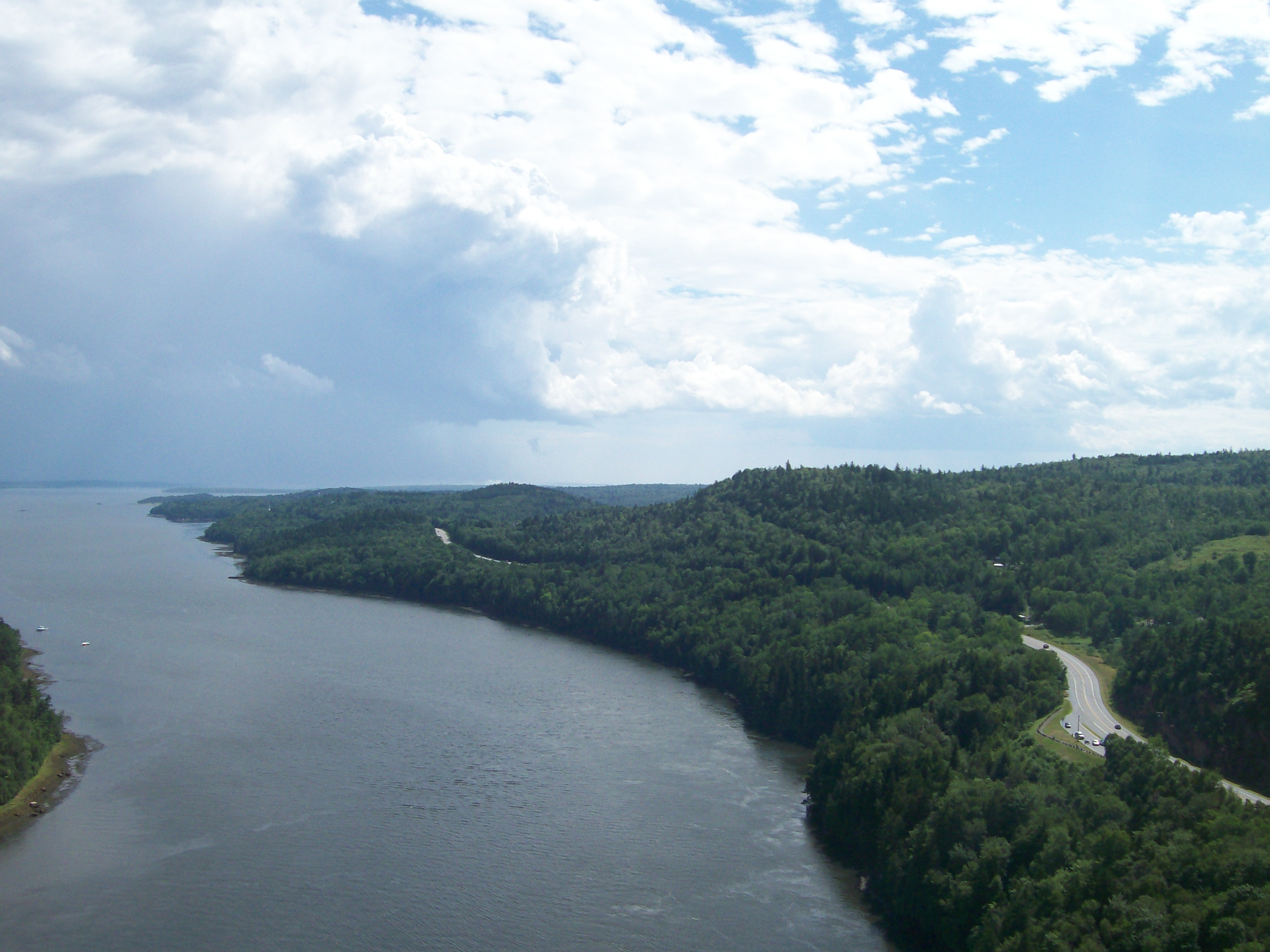
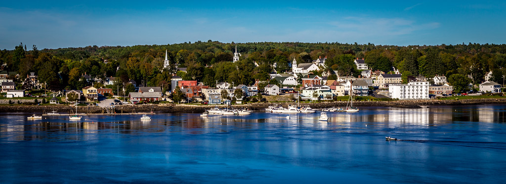
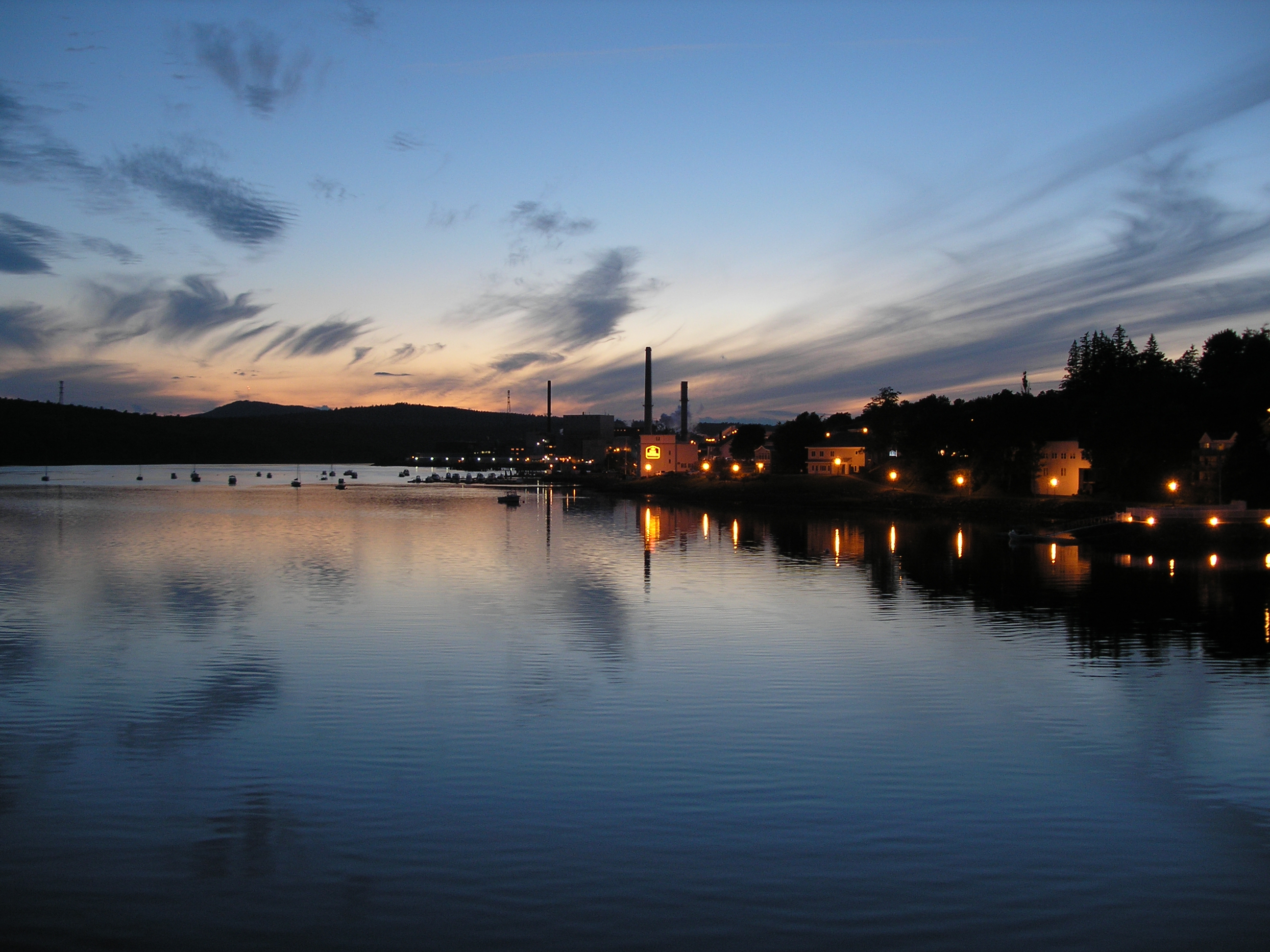
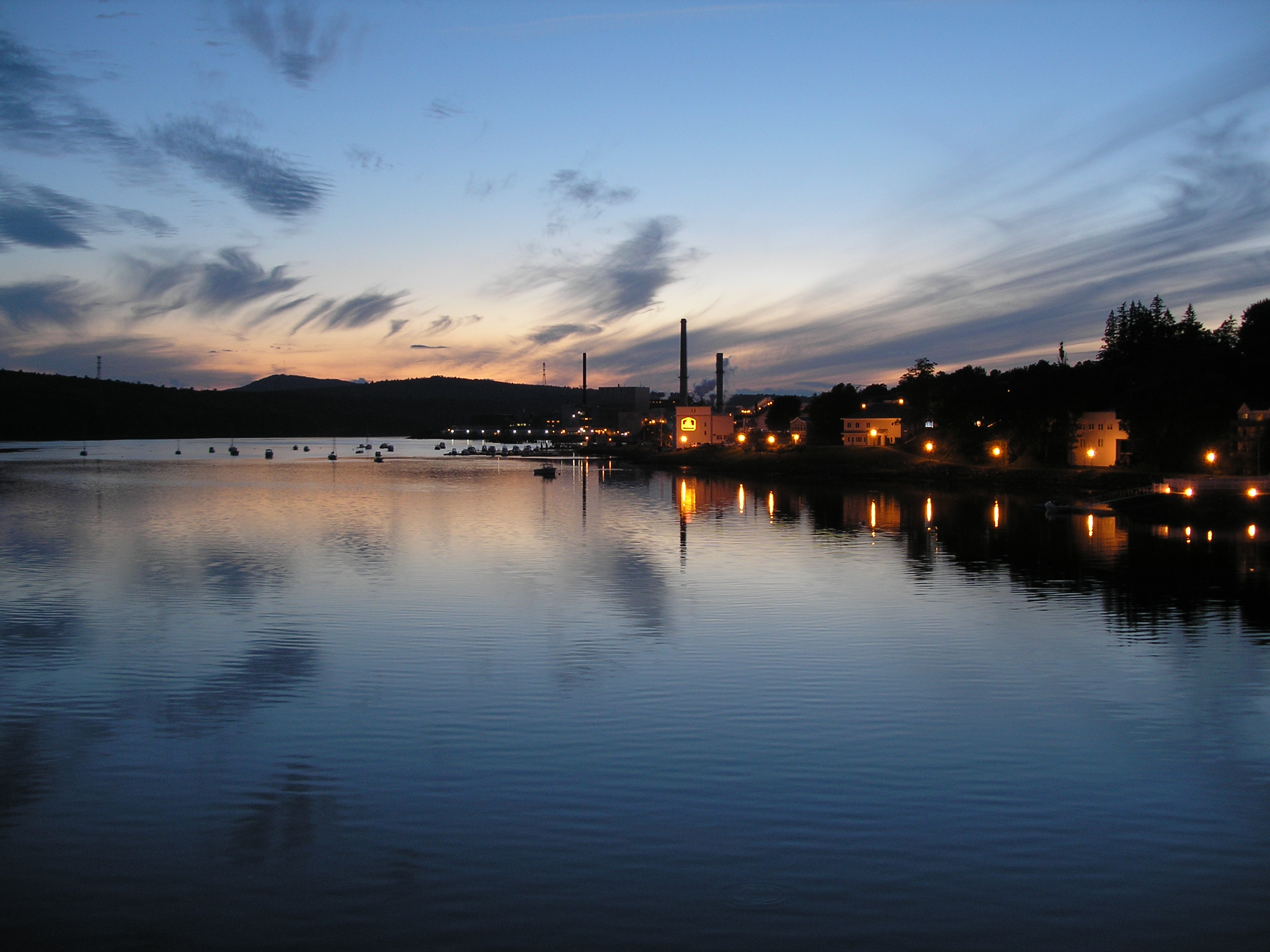
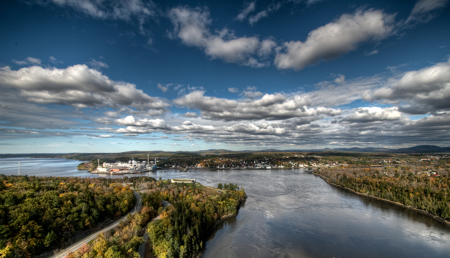
View of Bucksport
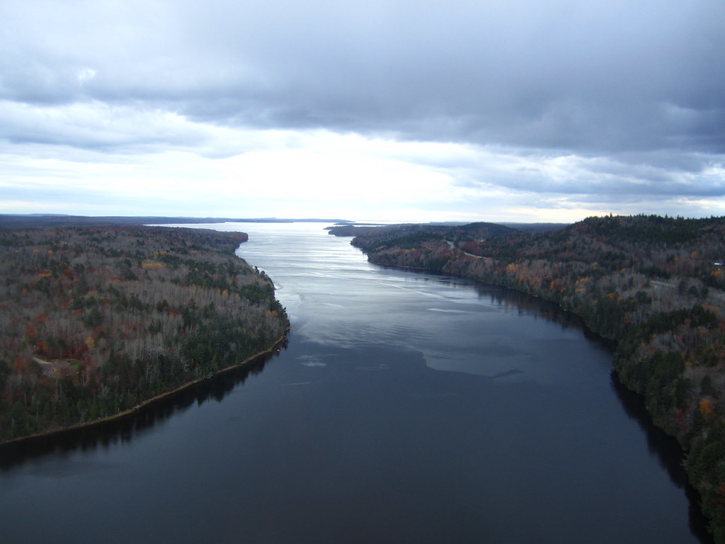
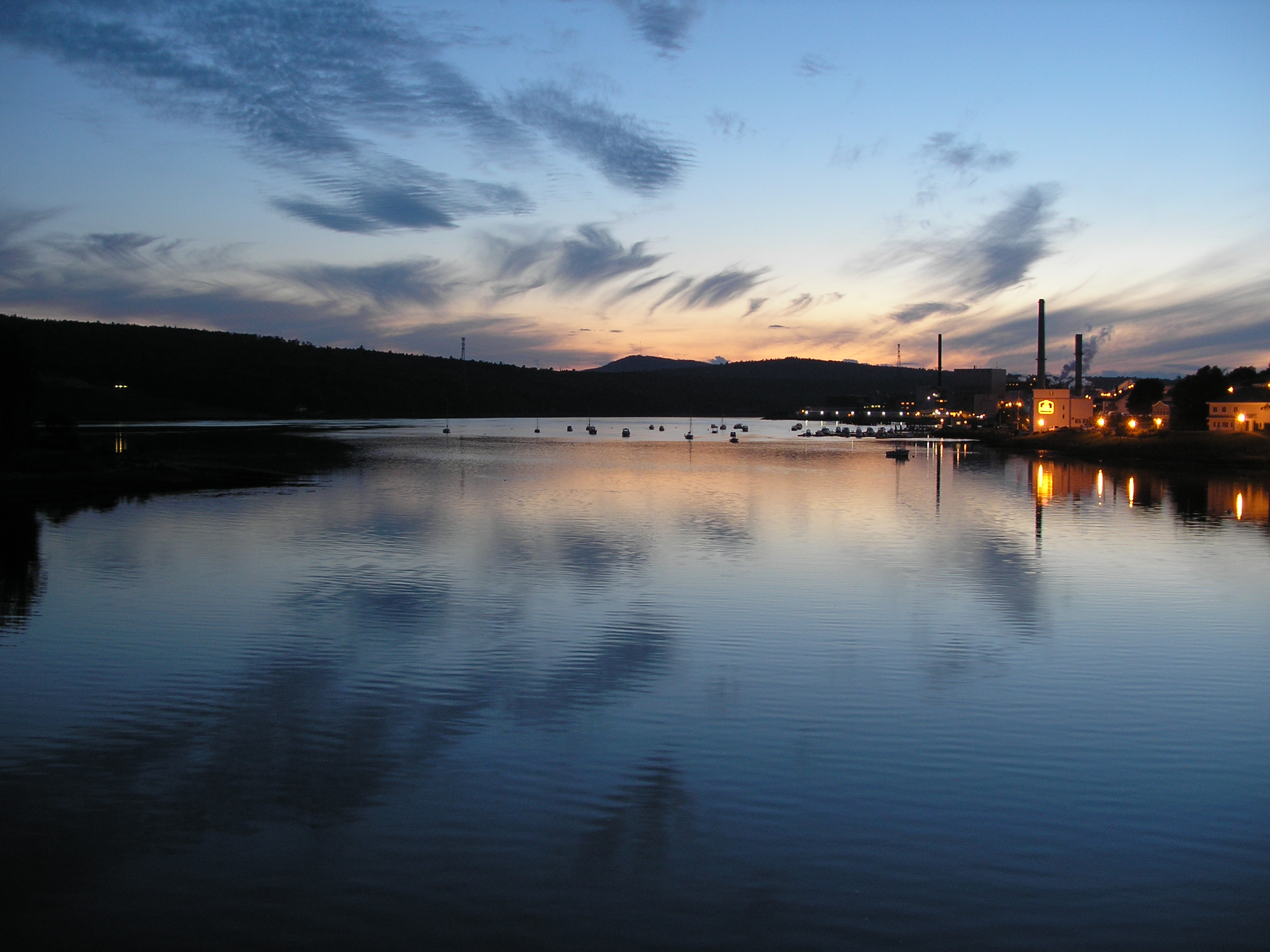
View from the Bucksport Bridge
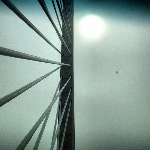
Observatory - 1
View from the Bucksport Bridge
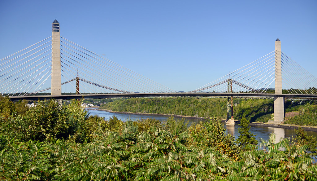
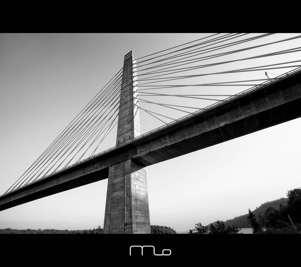
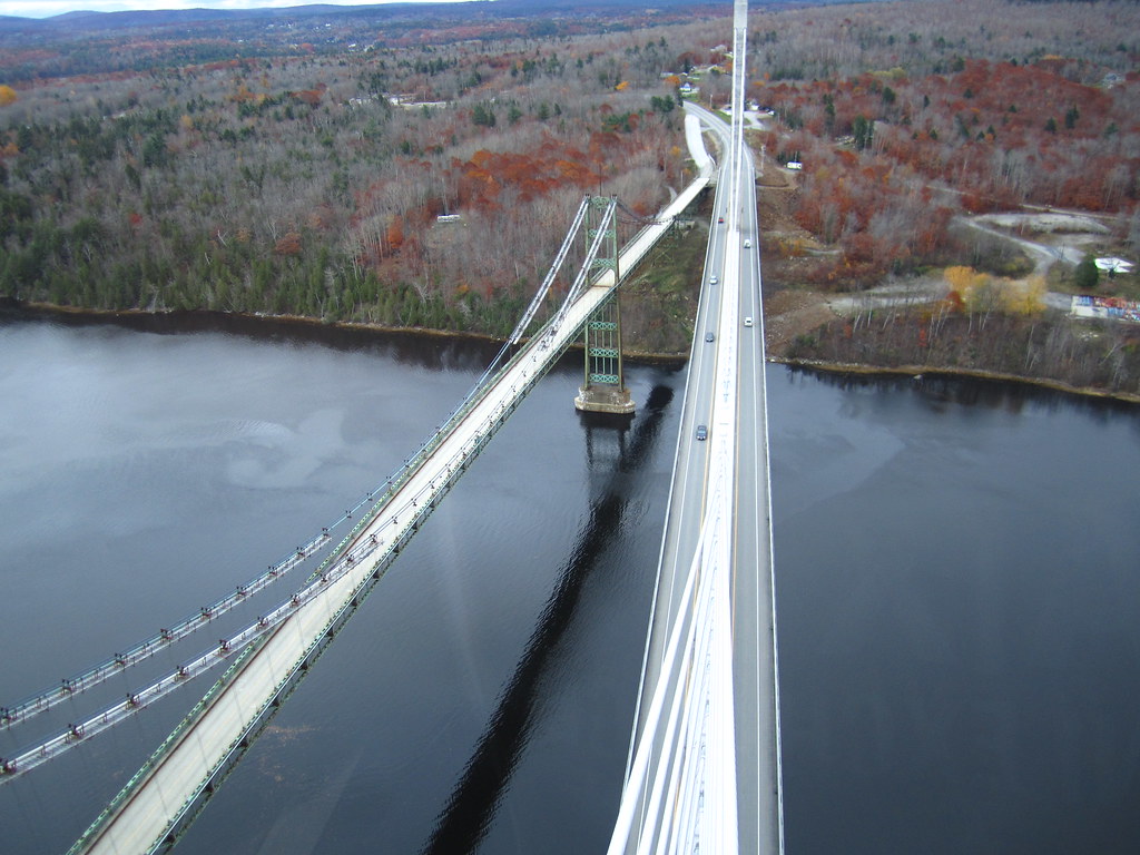
Penobscot Narrows Bridge and Observatory, Maine
Same view - better sunset colors
Awesome view while crossing the bridge!! Love the #architecture with @karry_smith
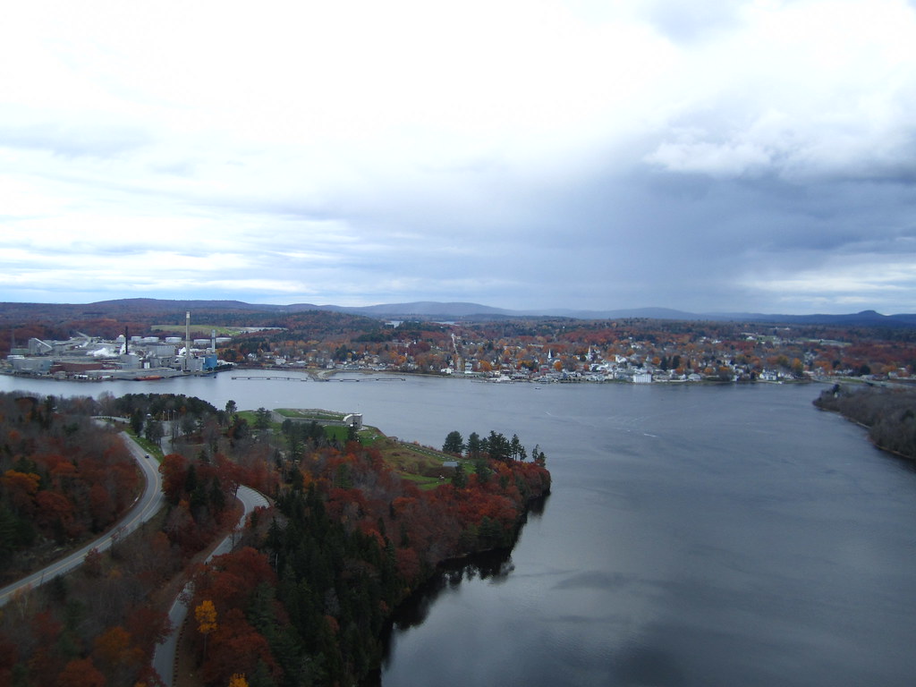
View from the Bucksport Bridge
Ft.Knox Maine-7
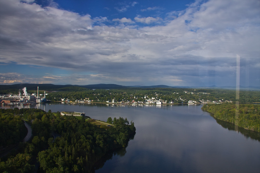
View of Bucksport
View of Bucksport
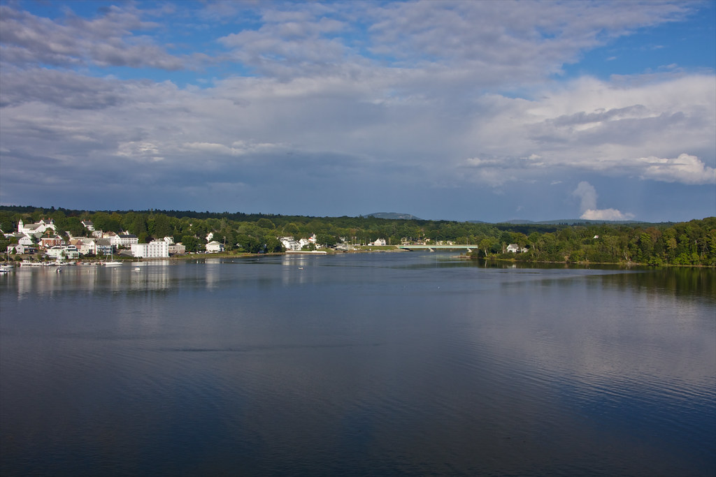
View of Bucksport

British Canal
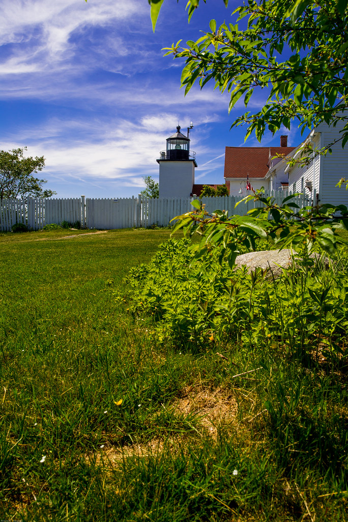
Fort Point Light House.
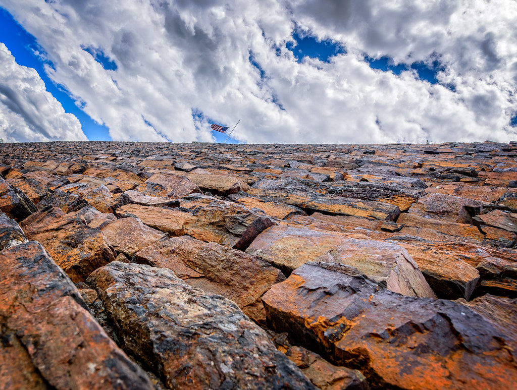
Hardened embankment below Fort Knox near Battery A
Rural Maine
2006Jul Acadia part1 (28)
2006Jul Acadia part1 (26)

Some people say the sky is just the sky, but I say...
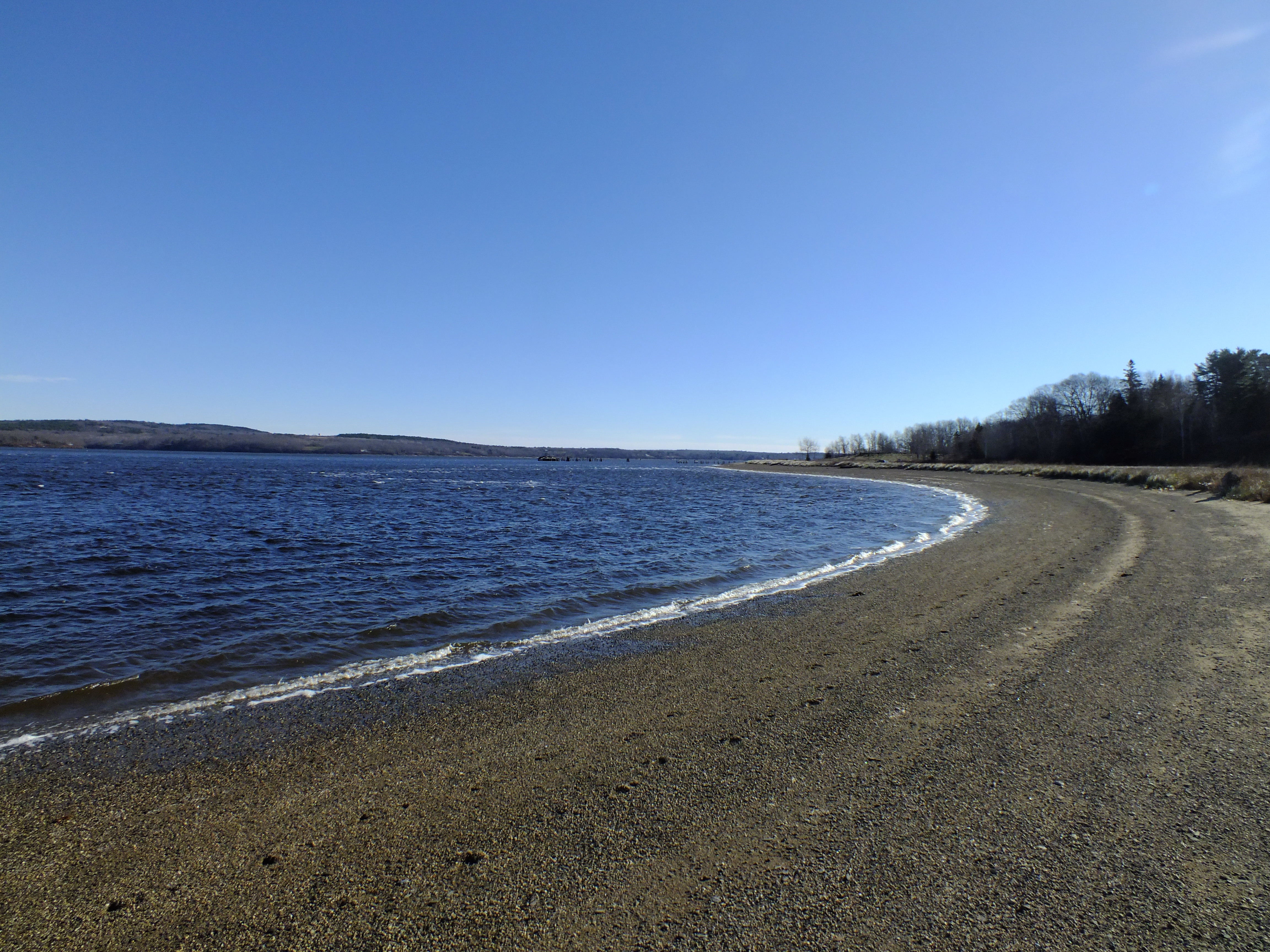
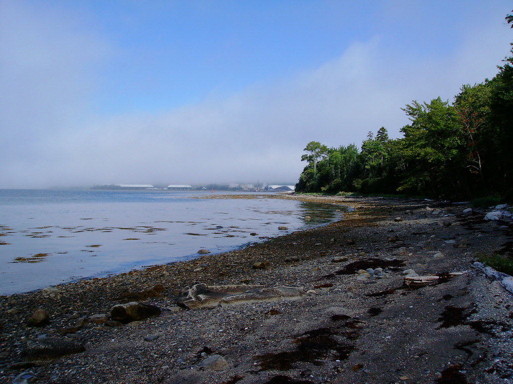
Sandy Point Beach
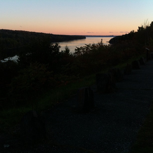
Rainy sunrise
2006Jul Acadia part1 (27)
Roadside Rock
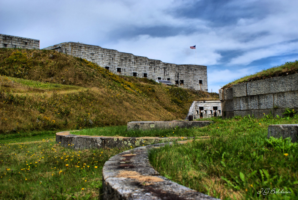
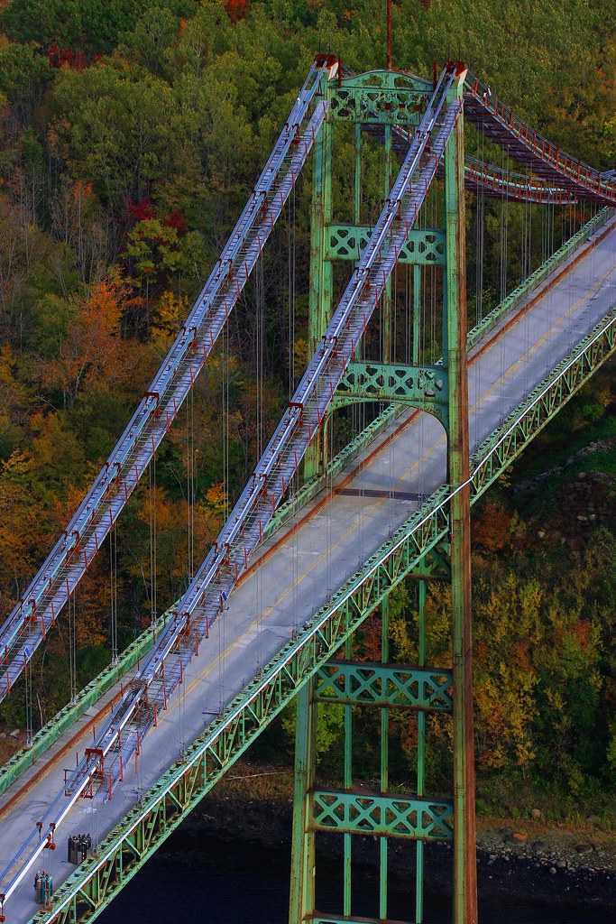
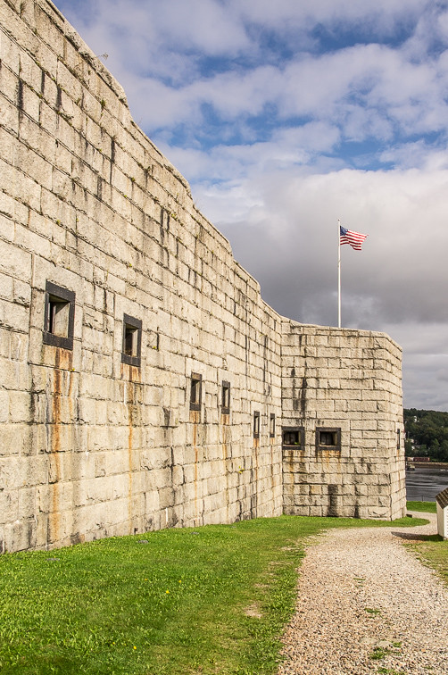
Fort Knox
Bucksport from Penobscott Narrows Bridge Tower
Pretty sky at work this evening.
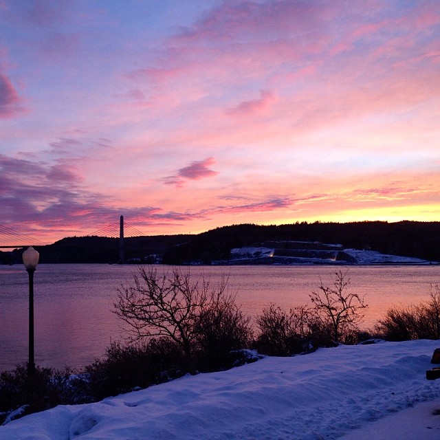
Penobscot Narrows Bridge
Topographic Map of East Side Dr, Verona Island, ME, USA
Find elevation by address:

Places near East Side Dr, Verona Island, ME, USA:
1170 Castine Rd
224 West Side Dr
178 East Side Dr
178 East Side Dr
178 East Side Dr
770 Castine Rd
473 Leaches Point Rd
38 Strawberry Rd
Leaches Point Road
1598 Castine Rd
1598 Castine Rd
81 West Side Dr
82 East Side Dr, Verona Island, ME, USA
Sandy Point
French's Point
32 Leaches Point Rd
Verona Island
1 Nicholson Ave
1 Nicholson Ave
1 Nicholson Ave
Recent Searches:
- Elevation of Corso Fratelli Cairoli, 35, Macerata MC, Italy
- Elevation of Tallevast Rd, Sarasota, FL, USA
- Elevation of 4th St E, Sonoma, CA, USA
- Elevation of Black Hollow Rd, Pennsdale, PA, USA
- Elevation of Oakland Ave, Williamsport, PA, USA
- Elevation of Pedrógão Grande, Portugal
- Elevation of Klee Dr, Martinsburg, WV, USA
- Elevation of Via Roma, Pieranica CR, Italy
- Elevation of Tavkvetili Mountain, Georgia
- Elevation of Hartfords Bluff Cir, Mt Pleasant, SC, USA