Elevation of E Traynor Rd, Goetzville, MI, USA
Location: United States > Michigan > Chippewa County >
Longitude: -84.182202
Latitude: 46.0574929
Elevation: 228m / 748feet
Barometric Pressure: 99KPa
Elevation Map:
Satellite Map:
Related Photos:
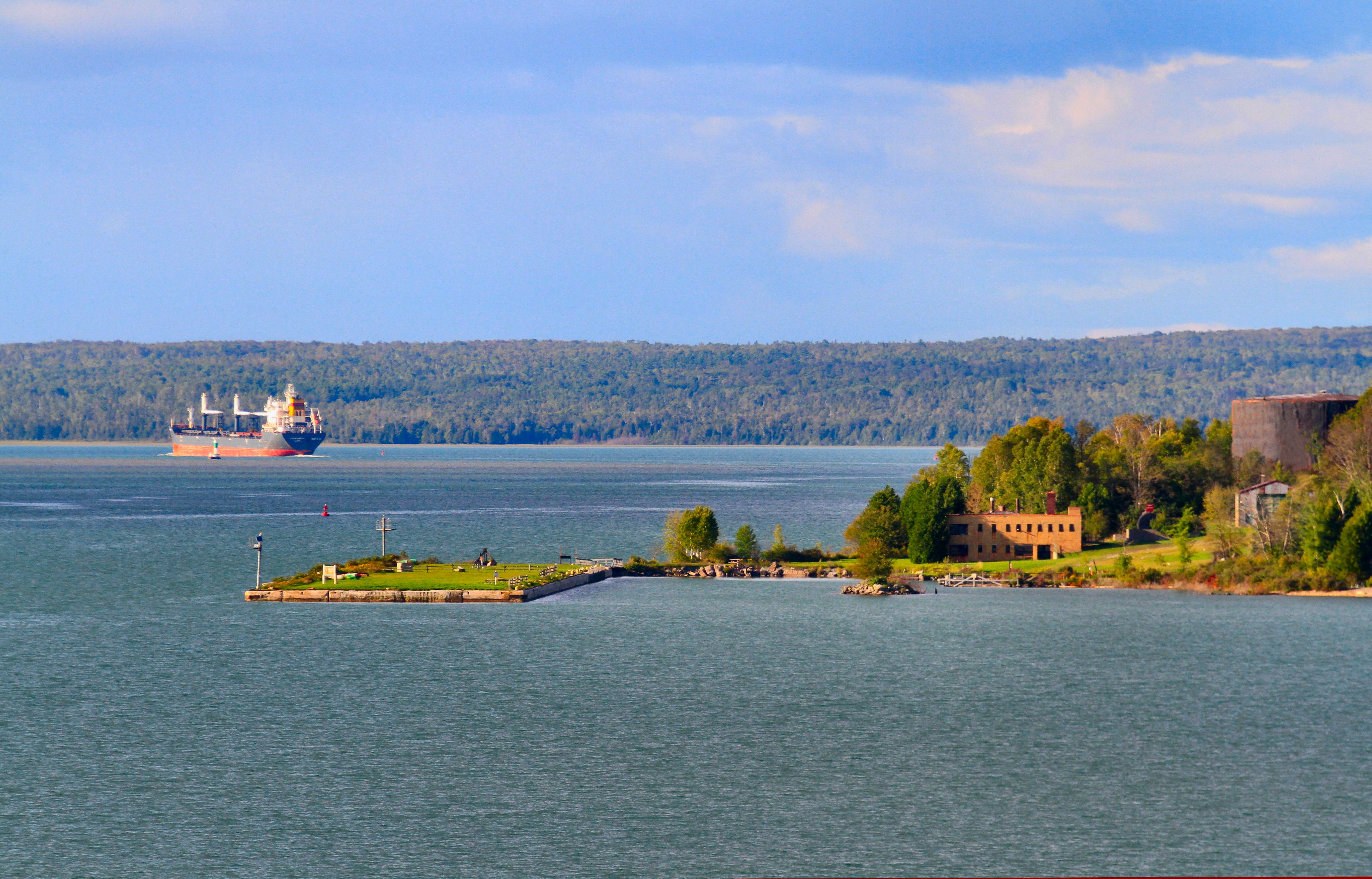
Lime Island Ludogorets
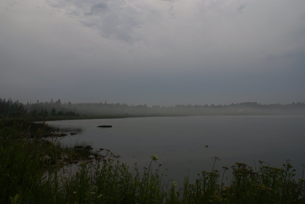
foggy shoreline

July 9 - Cedarville
In summer, the song sings itself. ~William Carlos Williams

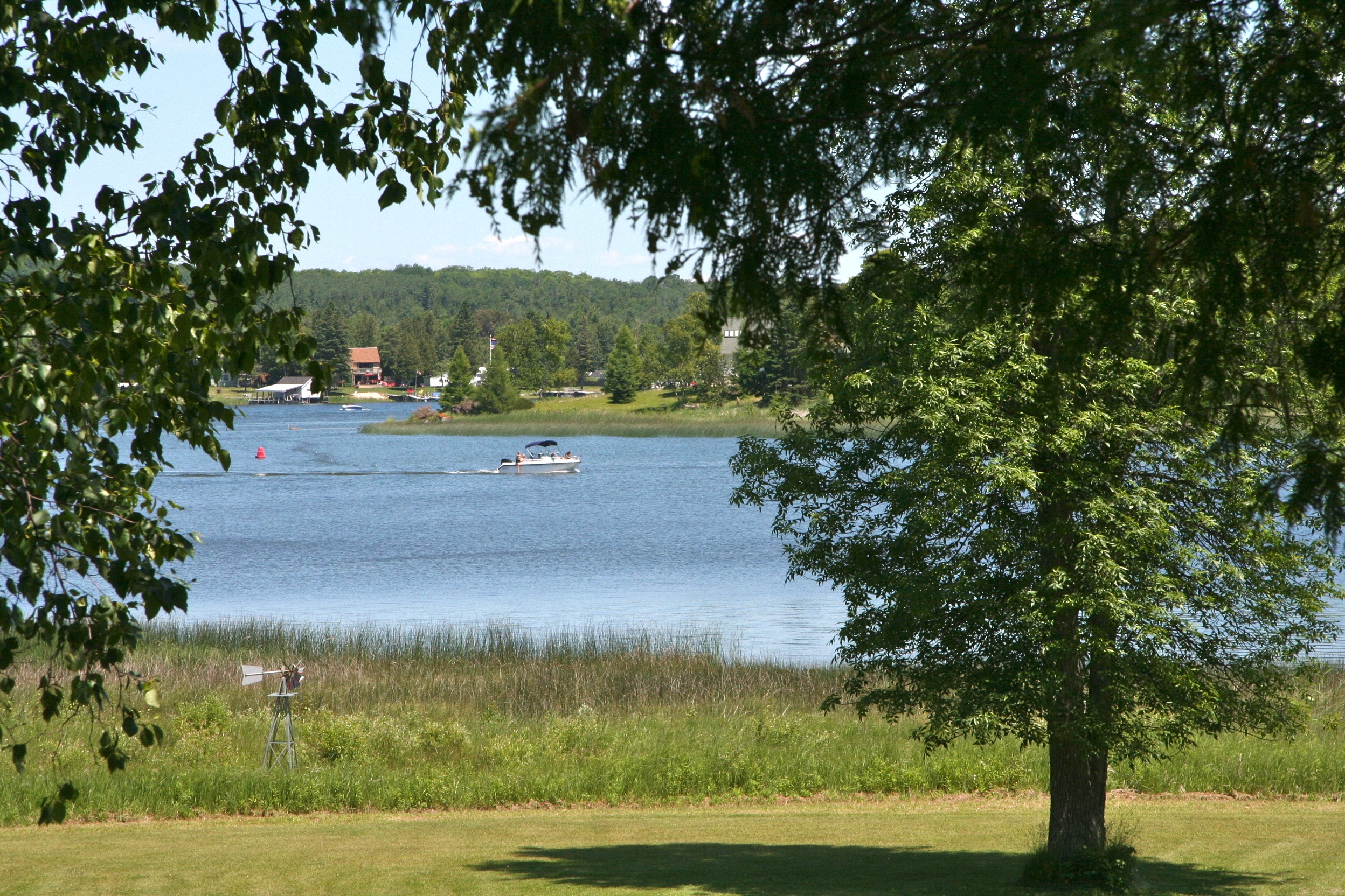
Prentiss Bay
One small positive thought in the morning can change your whole day.

IMG_0155-
IMG_0154-
IMG_0156-
IMG_0149-
IMG_0284-
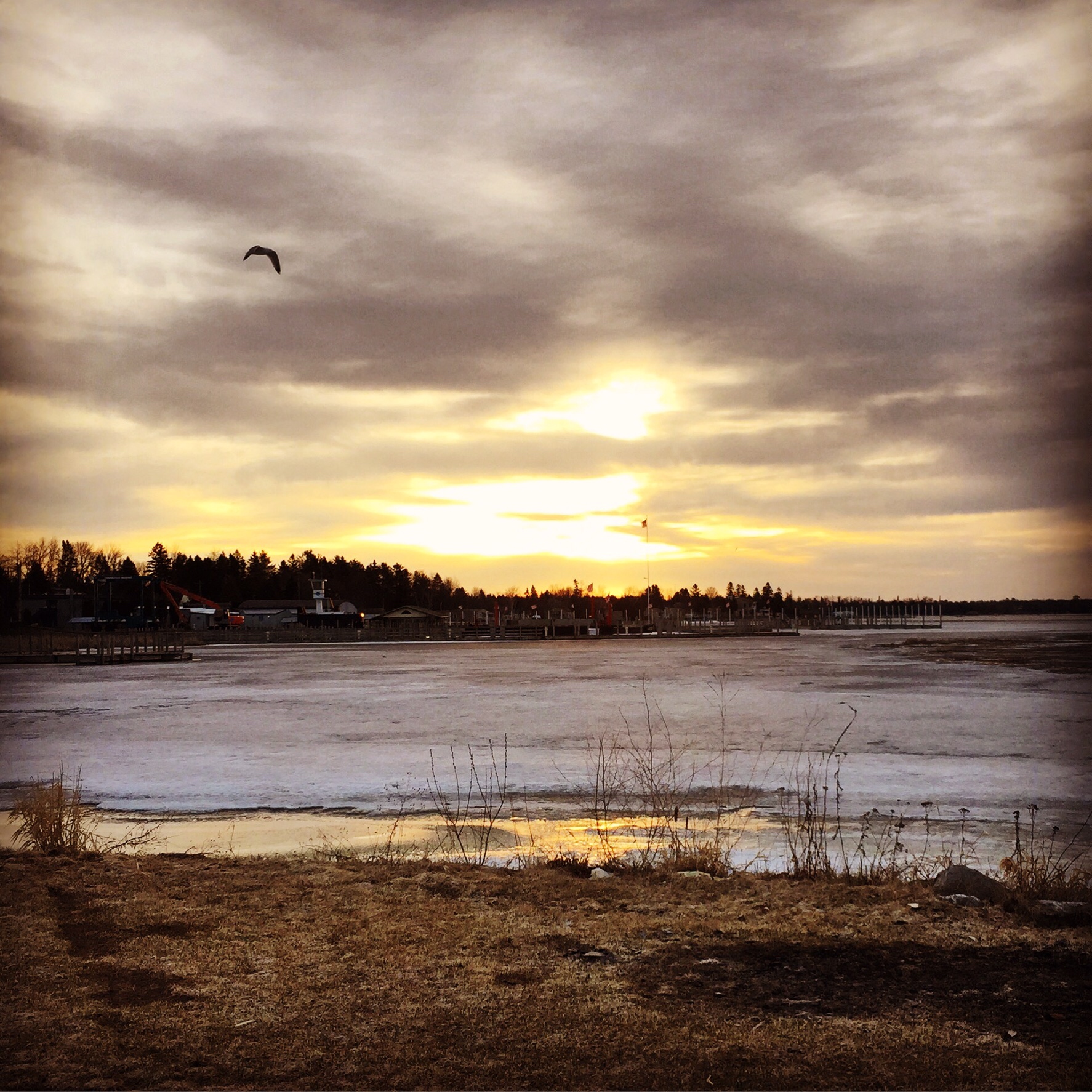
Albany Bay Beach At Sunset
IMG_0097-
IMG_0100-
Les Cheneaux Islands

Cedarville, MI
IMG_0049-
IMG_0276-
Topographic Map of E Traynor Rd, Goetzville, MI, USA
Find elevation by address:

Places near E Traynor Rd, Goetzville, MI, USA:
14831 E North Caribou Lake Rd
Clark Township
Pickford Township
Detour Township
Cedarville
Saint Marys River
4083 E Mills Rd
4083 E Mills Rd
19094 S Riverside Dr
Pickford
955 Sailors Encampment Dr
P Line Rd, Hilton Beach, ON P0R 1G0, Canada
Jocelyn
5 Side Rd, Hilton Beach, ON P0R 1G0, Canada
St. Joseph Island
St. Joseph
Richards Landing
Richards St, Richards Landing, ON P0R 1J0, Canada
6615 S Scenic Dr
De Tour Village
Recent Searches:
- Elevation of Corso Fratelli Cairoli, 35, Macerata MC, Italy
- Elevation of Tallevast Rd, Sarasota, FL, USA
- Elevation of 4th St E, Sonoma, CA, USA
- Elevation of Black Hollow Rd, Pennsdale, PA, USA
- Elevation of Oakland Ave, Williamsport, PA, USA
- Elevation of Pedrógão Grande, Portugal
- Elevation of Klee Dr, Martinsburg, WV, USA
- Elevation of Via Roma, Pieranica CR, Italy
- Elevation of Tavkvetili Mountain, Georgia
- Elevation of Hartfords Bluff Cir, Mt Pleasant, SC, USA