Elevation map of Chippewa County, MI, USA
Location: United States > Michigan >
Longitude: -84.593209
Latitude: 46.3117082
Elevation: 221m / 725feet
Barometric Pressure: 99KPa
Elevation Map:
Satellite Map:
Related Photos:
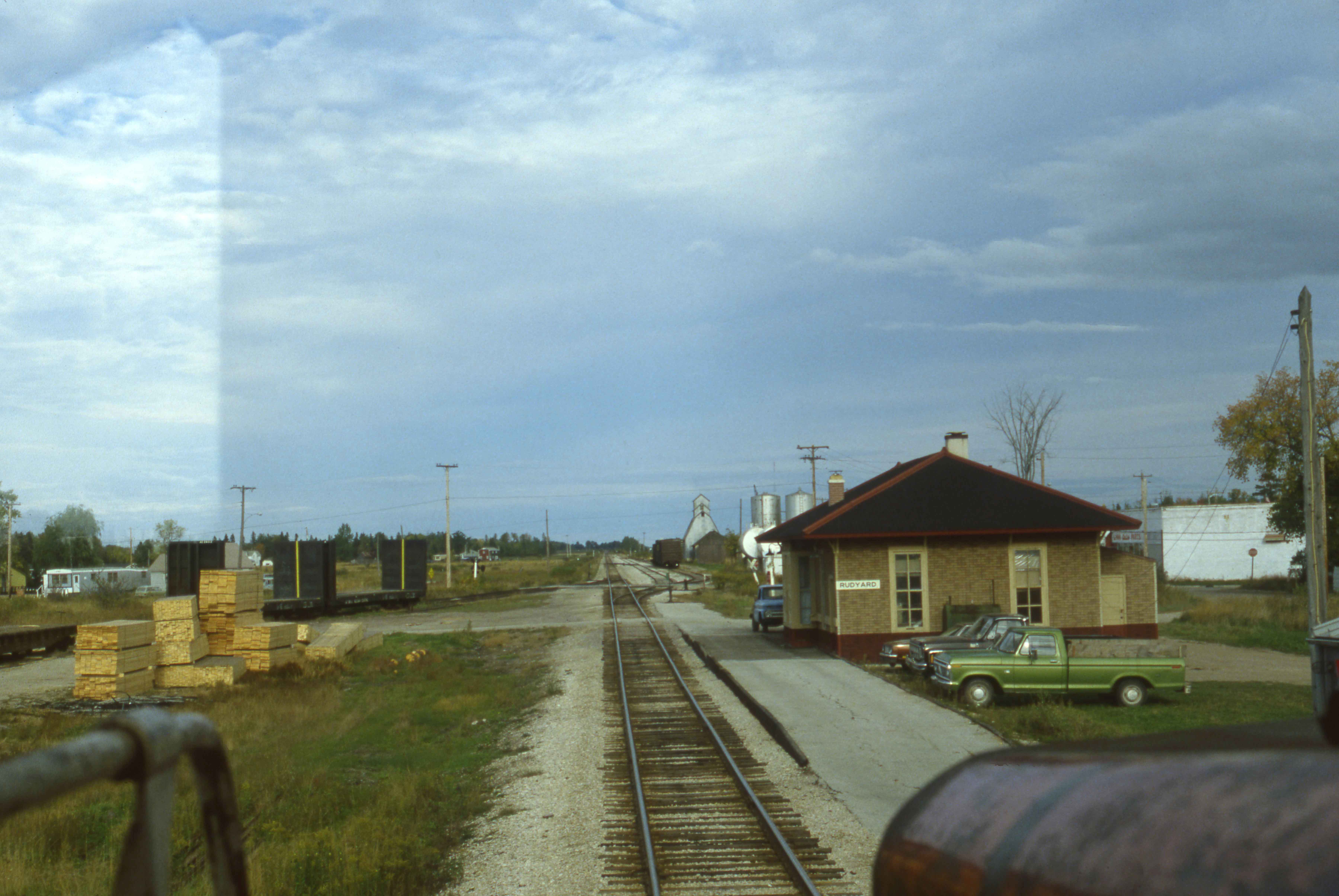
Rudyard MI.

camping vacation 2009 091

Me n mom, more memories
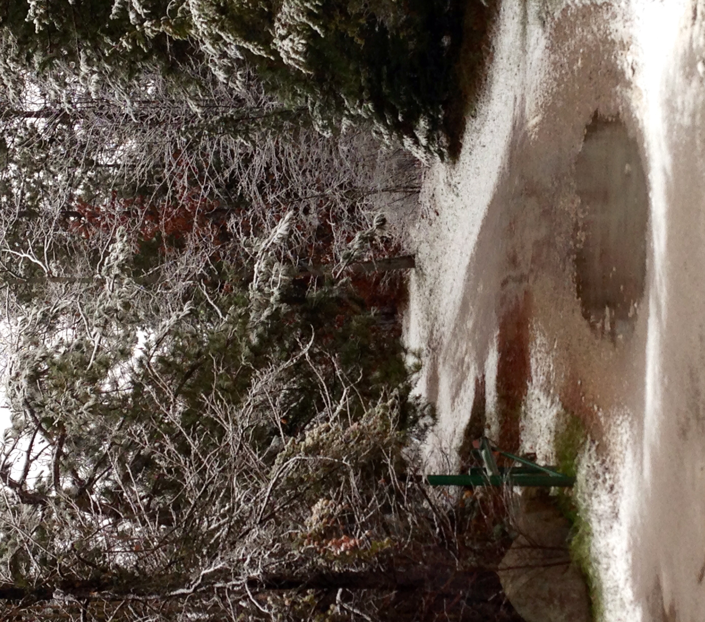
It's back

twilight, rudyard, michigan
Last Import-78
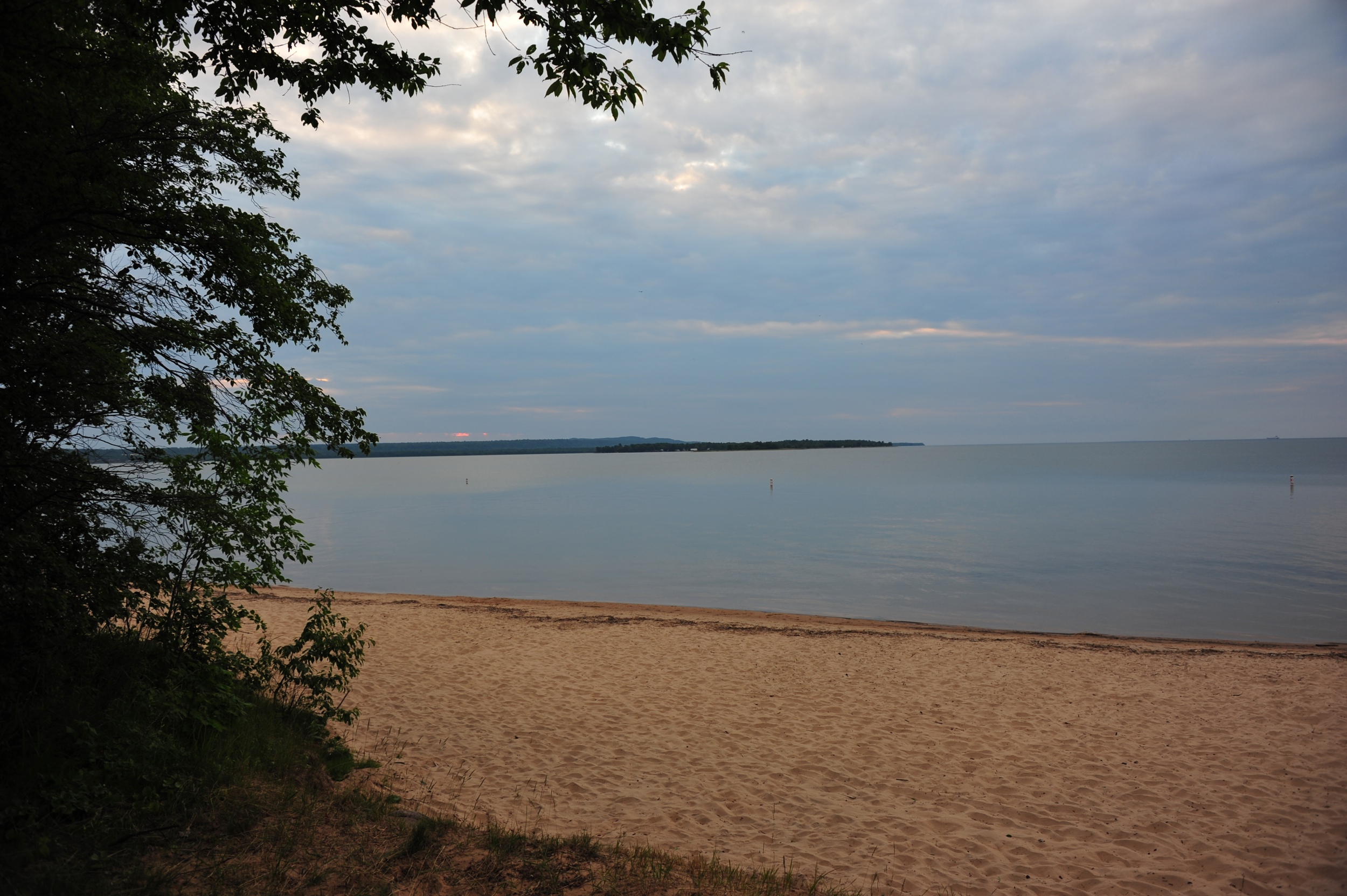
Sunset over Lake Superior
Brimley State Park
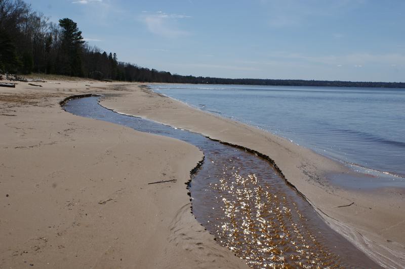
Brimley State Park
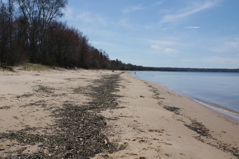
Brimley State Park

Abandoned gravel pit "discovered" while biking the Pine Bowl Pathway/Trail

Brimley State Park

Last Import-88

A foggy but peaceful way to start the day. #inbrimley15 #puremichigan #michigan

My beautiful wife reading as the sun sets on another beautiful day in #Brimley MI

The sun sets on the here rocks and our time in #Brimley #inbrimley15 #puremichigan

moonrise, chippewa county, michigan

Lighting Lanterns

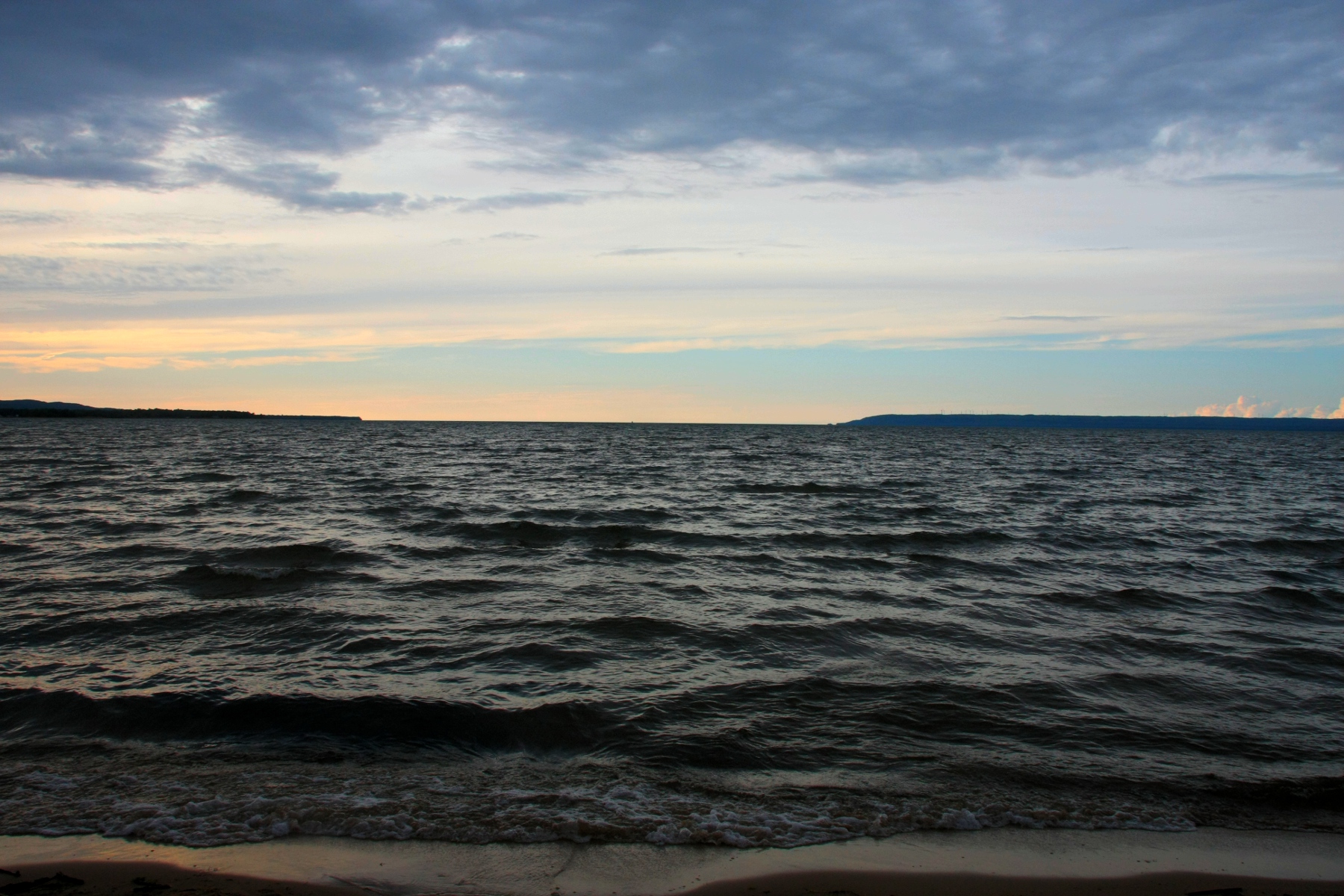
Calm Sunset

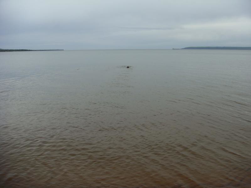
Dad Swimming

Adrift in Lake Superior

Mother / Officiant
Topographic Map of Chippewa County, MI, USA
Find elevation by address:

Places in Chippewa County, MI, USA:
Sault Ste. Marie
Pickford Township
Bay Mills Township
Drummond Township
Bruce Township
Rudyard Township
Kinross Charter Township
Dafter Township
Detour Township
Whitefish Township
Chippewa Township
Superior Township
Places near Chippewa County, MI, USA:
9826 S Centerline Rd
9826 S Centerline Rd
16962 S Postma Rd
West Main Street
Rudyard
19306 S Mackinac Trail
Kinross Charter Township
Brimley
Superior Township
Rudyard Township
Dafter Township
2224 M-28
16932 S Ramona Rd
10470 S Salt Point Rd
Strongs
Castle Rock
Mackinac Straits Health System
Mackinac Island
Chippewa Township
Saint Ignace
Recent Searches:
- Elevation of Corso Fratelli Cairoli, 35, Macerata MC, Italy
- Elevation of Tallevast Rd, Sarasota, FL, USA
- Elevation of 4th St E, Sonoma, CA, USA
- Elevation of Black Hollow Rd, Pennsdale, PA, USA
- Elevation of Oakland Ave, Williamsport, PA, USA
- Elevation of Pedrógão Grande, Portugal
- Elevation of Klee Dr, Martinsburg, WV, USA
- Elevation of Via Roma, Pieranica CR, Italy
- Elevation of Tavkvetili Mountain, Georgia
- Elevation of Hartfords Bluff Cir, Mt Pleasant, SC, USA