Elevation of Strongs, MI, USA
Location: United States > Michigan > Chippewa County > Chippewa Township >
Longitude: -84.969519
Latitude: 46.3577943
Elevation: 252m / 827feet
Barometric Pressure: 98KPa
Elevation Map:
Satellite Map:
Related Photos:

Dinner with a view at Shirley's Tavern in Hulbert, MI (Explore)

Dinner with a view at Shirley's Tavern in Hulbert, MI

Dinner with a view at Shirley's Tavern in Hulbert, MI

TOWER VIEW -LAKE SUPERIOR
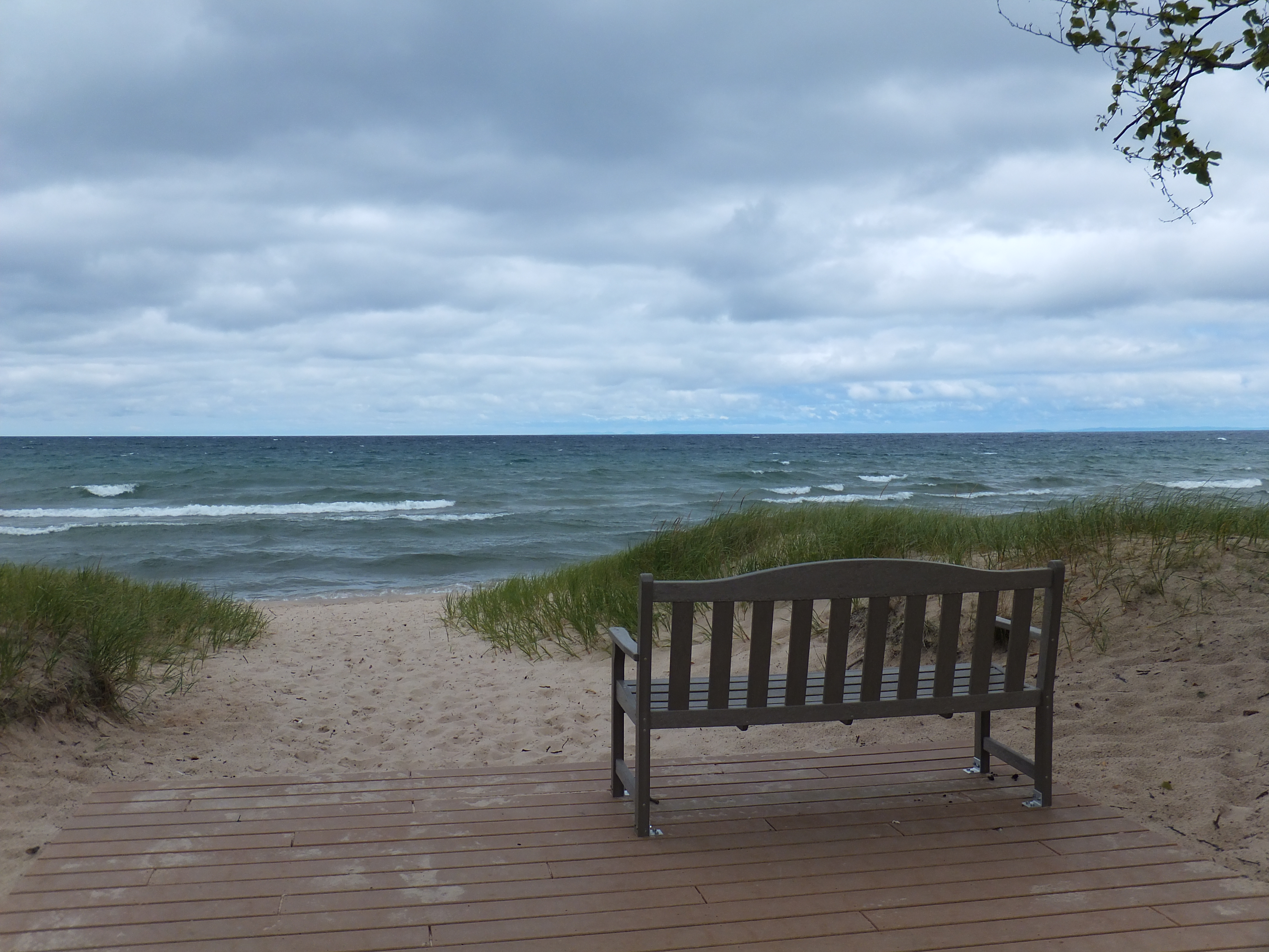
Bench Viewing Lake Superior

Viewing eggs in Incubator

Visitors Viewing Lake Trout Yearling Up Close
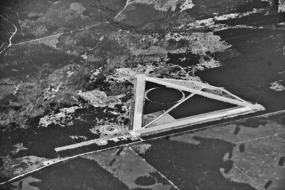
Raco Field, Michigan

HNF_Forest Service Road 3142_FC101816

HNF_M-123_FC101816

the cabin

Lake Superior Near Whitefish Point
Lake Superior Near Whitefish Point

Swimming in lake superior

Lake Superior Near Whitefish Point

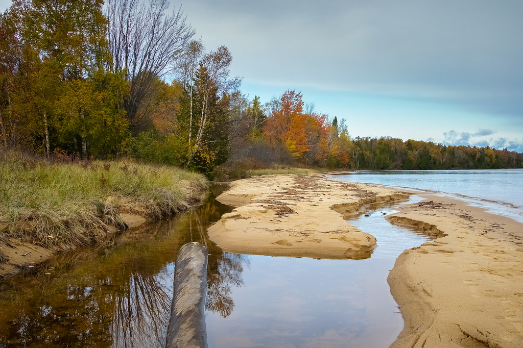
Pendills Creek Delta (2)

Lake Superior
20181010-FS-HIAWATHA-SB-013

IMG_0020.JPG
Topographic Map of Strongs, MI, USA
Find elevation by address:

Places near Strongs, MI, USA:
10470 S Salt Point Rd
Chippewa Township
Superior Township
Moran Township
Mackinac County
Rudyard Township
US-2, Moran, MI, USA
16962 S Postma Rd
Hudson Township
Chippewa County
West Main Street
Rudyard
19306 S Mackinac Trail
Brimley
9826 S Centerline Rd
9826 S Centerline Rd
7801 Us-2
8000 Lake Michigan Scenic Hwy
Pentland Township
Kinross Charter Township
Recent Searches:
- Elevation of Corso Fratelli Cairoli, 35, Macerata MC, Italy
- Elevation of Tallevast Rd, Sarasota, FL, USA
- Elevation of 4th St E, Sonoma, CA, USA
- Elevation of Black Hollow Rd, Pennsdale, PA, USA
- Elevation of Oakland Ave, Williamsport, PA, USA
- Elevation of Pedrógão Grande, Portugal
- Elevation of Klee Dr, Martinsburg, WV, USA
- Elevation of Via Roma, Pieranica CR, Italy
- Elevation of Tavkvetili Mountain, Georgia
- Elevation of Hartfords Bluff Cir, Mt Pleasant, SC, USA