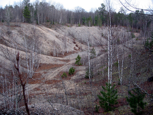
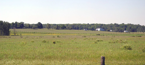
Elevation of E Mills Rd, Pickford, MI, USA
Location: United States > Michigan > Chippewa County > Pickford Township >
Longitude: -84.278424
Latitude: 46.2256095
Elevation: 183m / 600feet
Barometric Pressure: 99KPa
Related Photos:
Topographic Map of E Mills Rd, Pickford, MI, USA
Find elevation by address:

Places near E Mills Rd, Pickford, MI, USA:
4083 E Mills Rd
19094 S Riverside Dr
Pickford Township
Bruce Township
Pickford
6615 S Scenic Dr
11629 S Lower Hay Lake Rd
Saint Marys River
955 Sailors Encampment Dr
8683 E Traynor Rd
Clark Township
Cedarville
Richards Landing
Richards St, Richards Landing, ON P0R 1J0, Canada
St. Joseph
MacLennan Rd, Desbarats, ON P0R 1E0, Canada
P Line Rd, Hilton Beach, ON P0R 1G0, Canada
14831 E North Caribou Lake Rd
St. Joseph Island
Jocelyn
Recent Searches:
- Elevation of Corso Fratelli Cairoli, 35, Macerata MC, Italy
- Elevation of Tallevast Rd, Sarasota, FL, USA
- Elevation of 4th St E, Sonoma, CA, USA
- Elevation of Black Hollow Rd, Pennsdale, PA, USA
- Elevation of Oakland Ave, Williamsport, PA, USA
- Elevation of Pedrógão Grande, Portugal
- Elevation of Klee Dr, Martinsburg, WV, USA
- Elevation of Via Roma, Pieranica CR, Italy
- Elevation of Tavkvetili Mountain, Georgia
- Elevation of Hartfords Bluff Cir, Mt Pleasant, SC, USA


