Elevation of E6, Trofors, Norway
Location: Norway > Nordland > Grane >
Longitude: 13.4017789
Latitude: 65.4571642
Elevation: 121m / 397feet
Barometric Pressure: 100KPa
Elevation Map:
Satellite Map:
Related Photos:
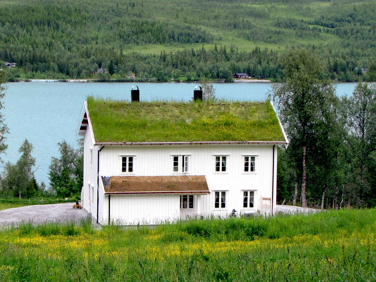
House in Norway
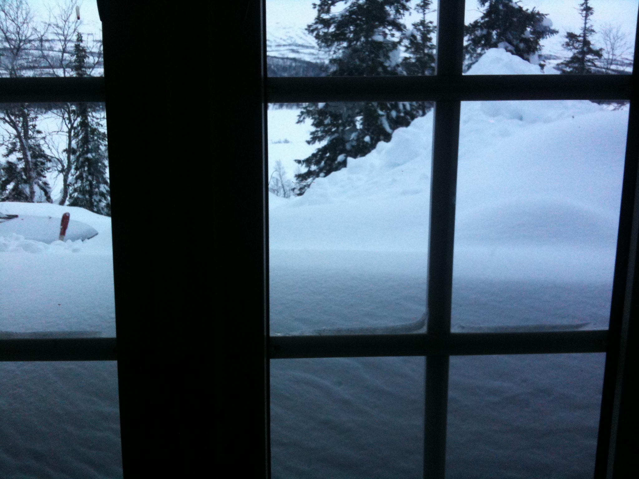
Snow . view from inside cabin
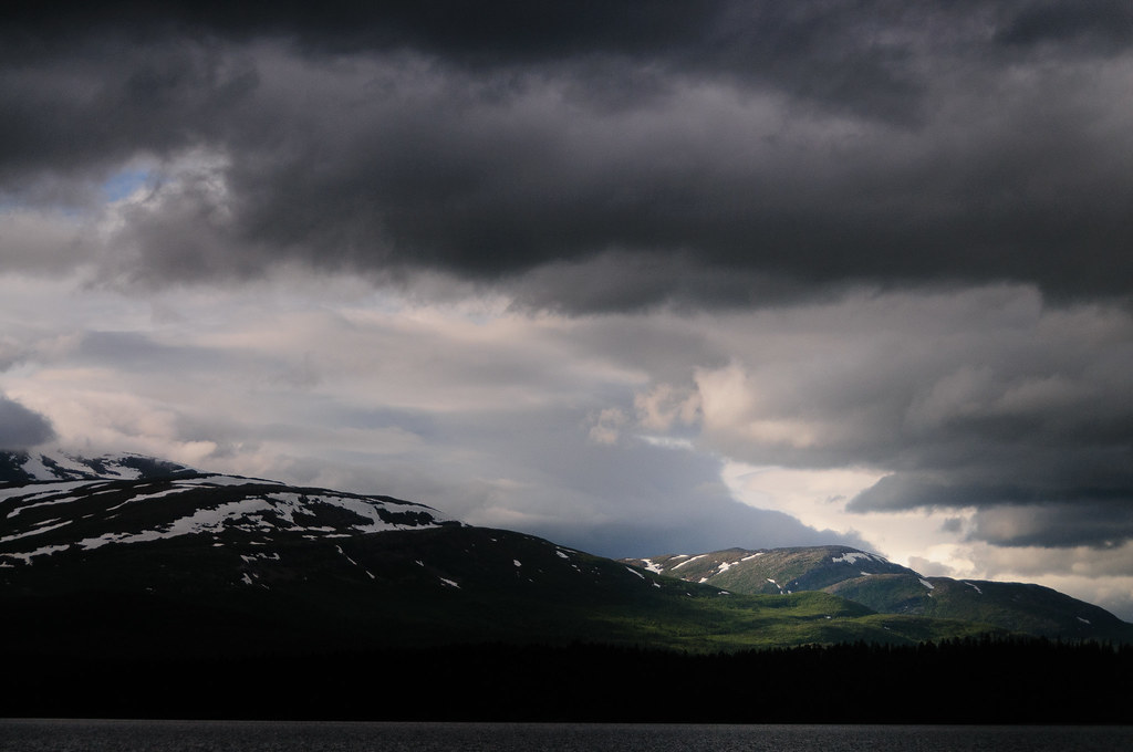
All it takes is a hole in the clouds
04.11_Z000070_2013.05.31_16.10.16_B00456_3R
SPARC prosjektet

04.11_Z000050_2013.05.31_16.07.22_B00454_3R

Unterwegs auf der E6
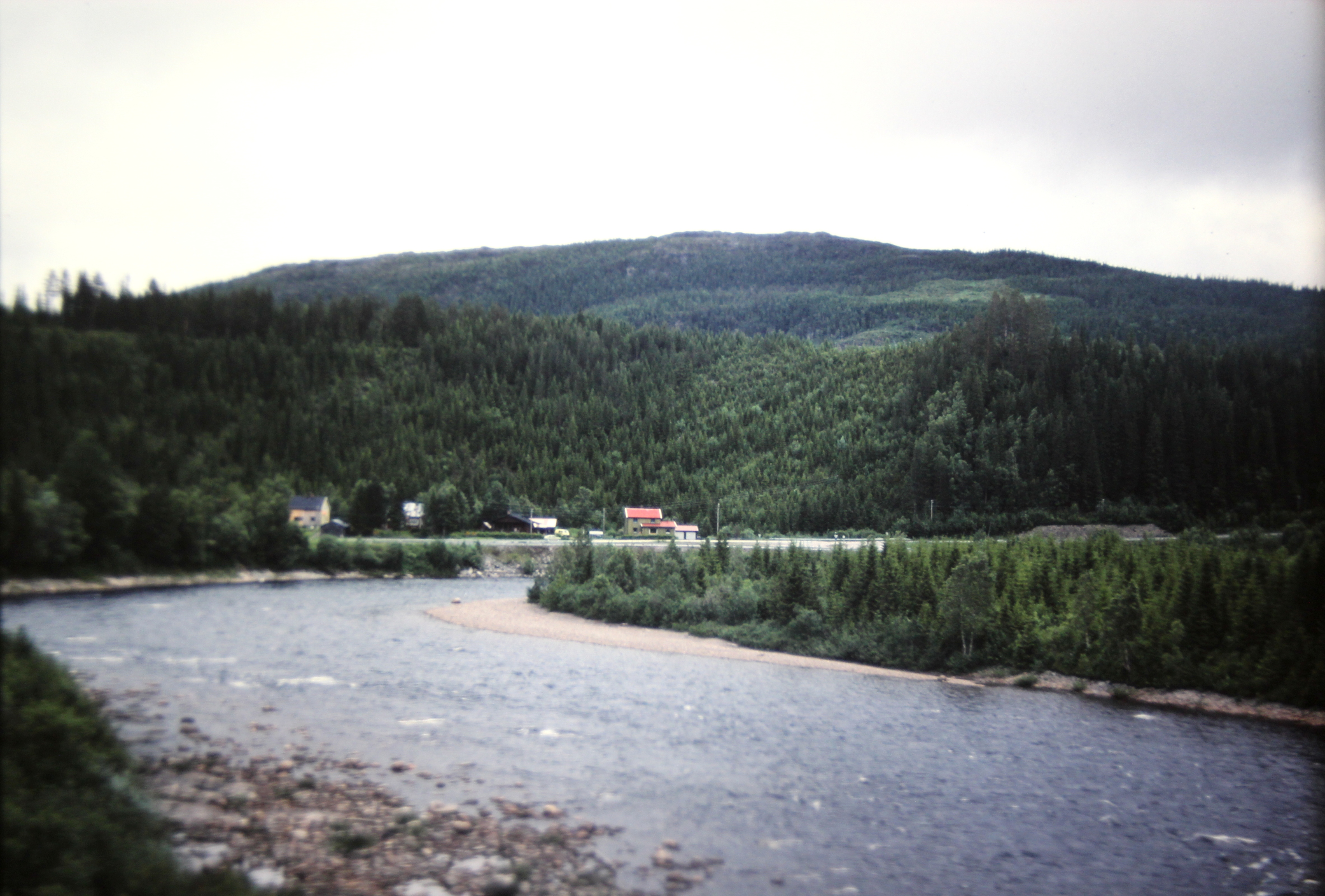
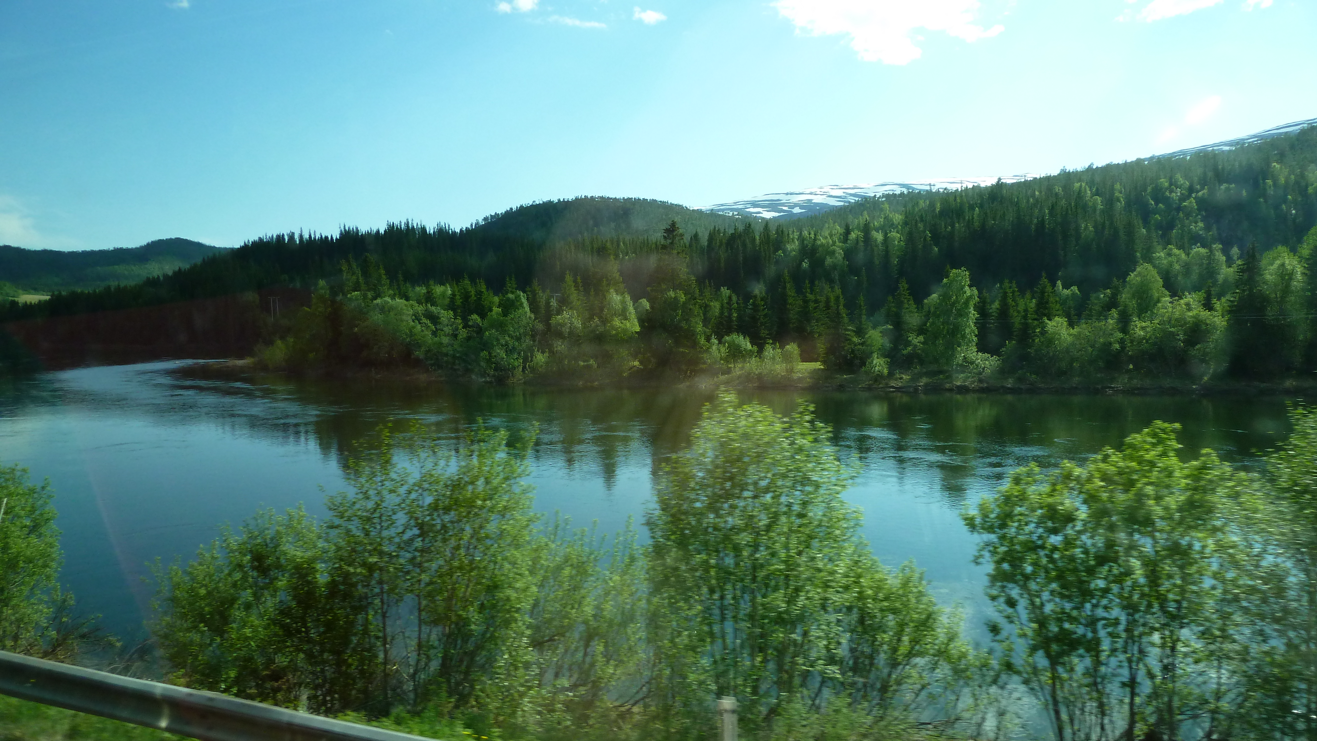
Holmvasselva River near Majavatri, Norway
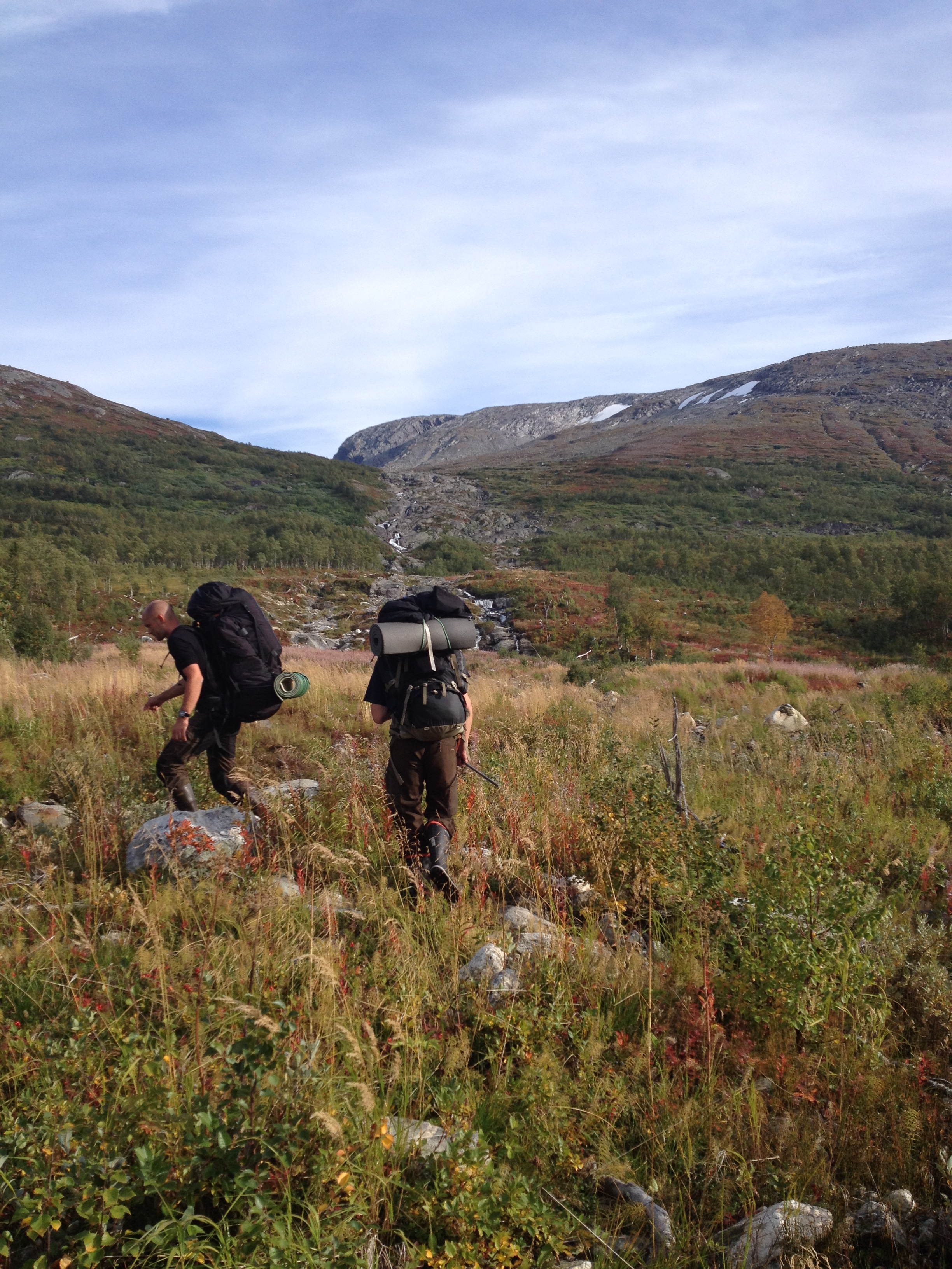
163-Crossing Norway....
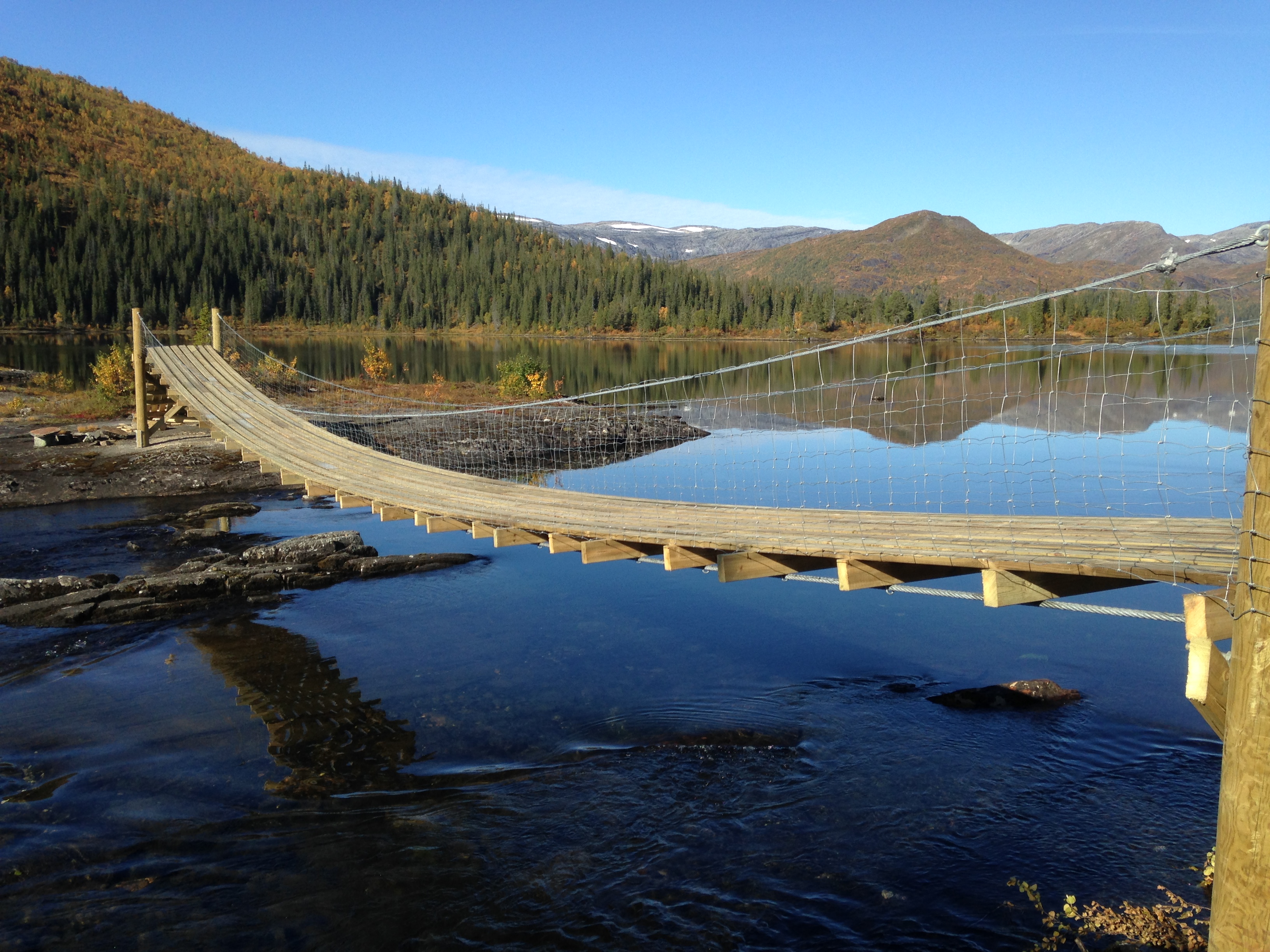
Hytteutleie: Gåsvatn skogstue - Grane
Topographic Map of E6, Trofors, Norway
Find elevation by address:

Places near E6, Trofors, Norway:
E6 30, Trofors, Norway
Grane
E6 80, Trofors, Norway
Fv 70, Trofors, Norway
E6 18, Trofors, Norway
E6 30, Trofors, Norway
E6, Trofors, Norway
Mosjøen
Børgefjell/byrkije
Vevelstad
Rv76, Hommelstø, Norway
Scandinavian Mountains
Recent Searches:
- Elevation of Corso Fratelli Cairoli, 35, Macerata MC, Italy
- Elevation of Tallevast Rd, Sarasota, FL, USA
- Elevation of 4th St E, Sonoma, CA, USA
- Elevation of Black Hollow Rd, Pennsdale, PA, USA
- Elevation of Oakland Ave, Williamsport, PA, USA
- Elevation of Pedrógão Grande, Portugal
- Elevation of Klee Dr, Martinsburg, WV, USA
- Elevation of Via Roma, Pieranica CR, Italy
- Elevation of Tavkvetili Mountain, Georgia
- Elevation of Hartfords Bluff Cir, Mt Pleasant, SC, USA