Elevation of E6 18, Trofors, Norway
Location: Norway > Nordland > Grane >
Longitude: 13.3405707
Latitude: 65.2305554
Elevation: 337m / 1106feet
Barometric Pressure: 97KPa
Elevation Map:
Satellite Map:
Related Photos:
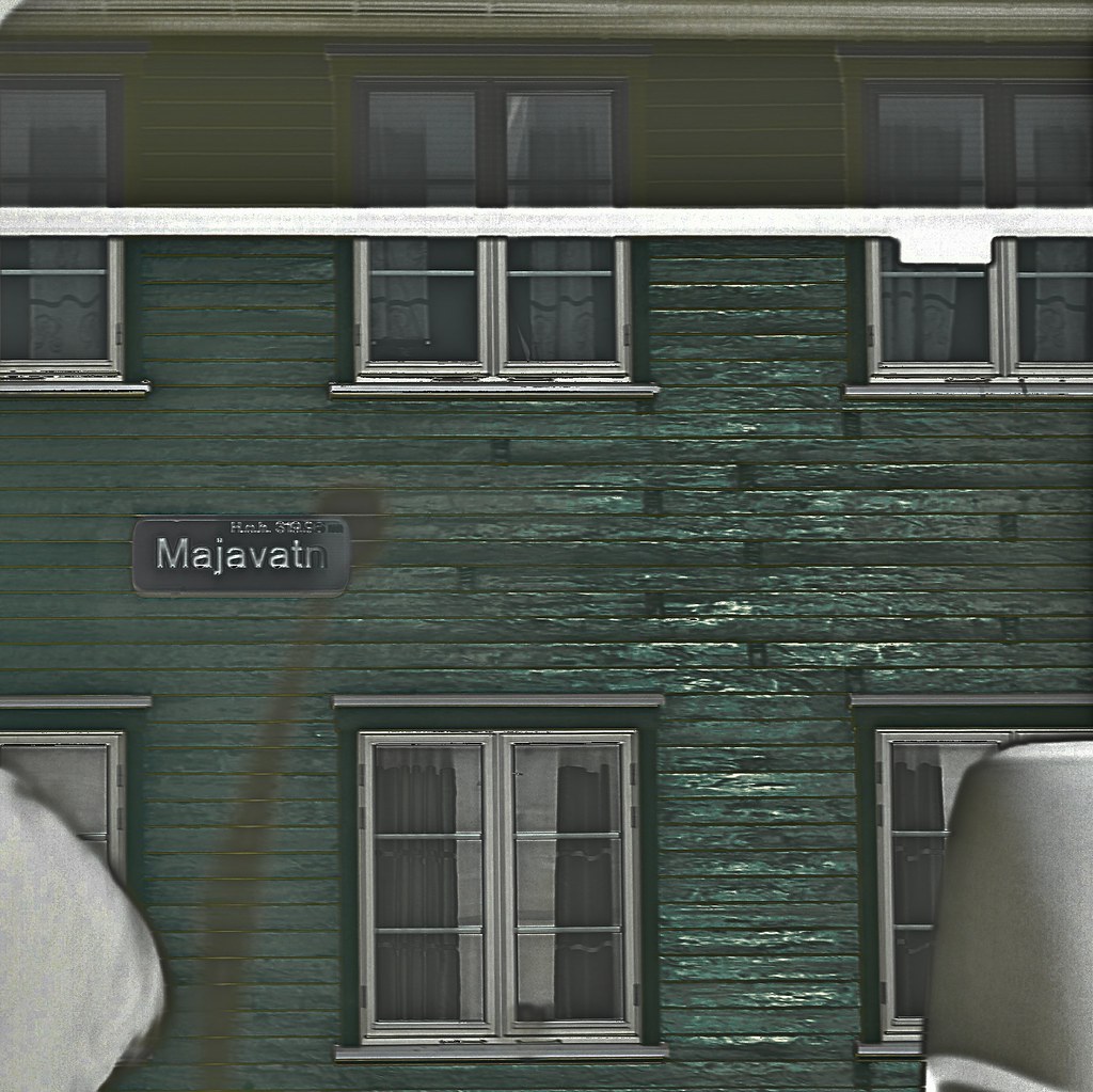
Majavatn Station Invert
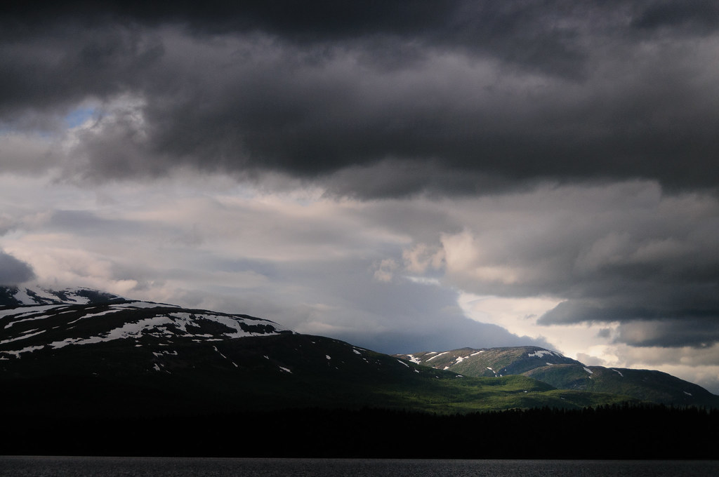
All it takes is a hole in the clouds
04.10_Z000410_2013.05.31_15.20.16_B00449_3S
04.10_Z000020_2013.05.31_15.14.02_B00442_3S
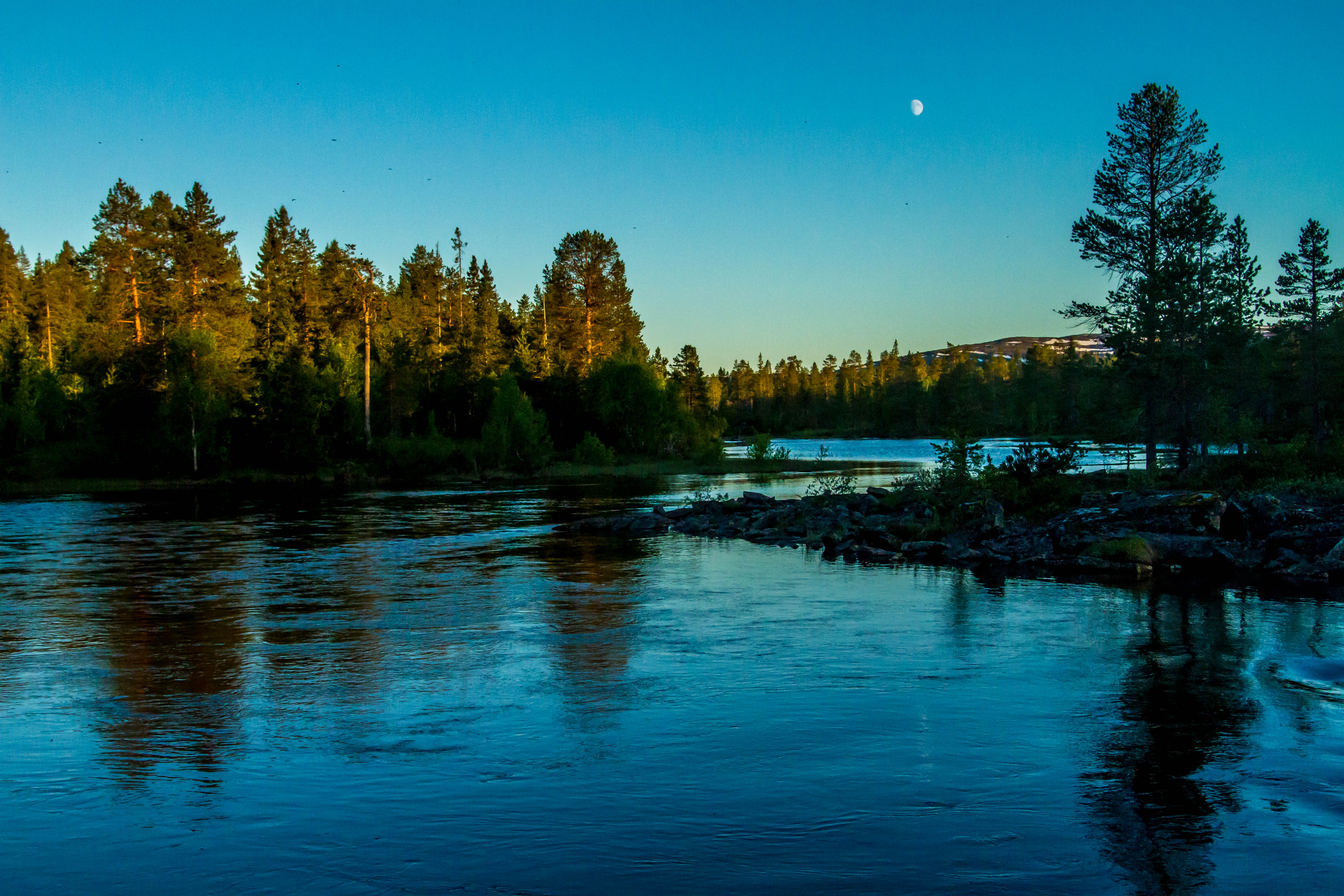
Twilight at Bertilbergan resting place
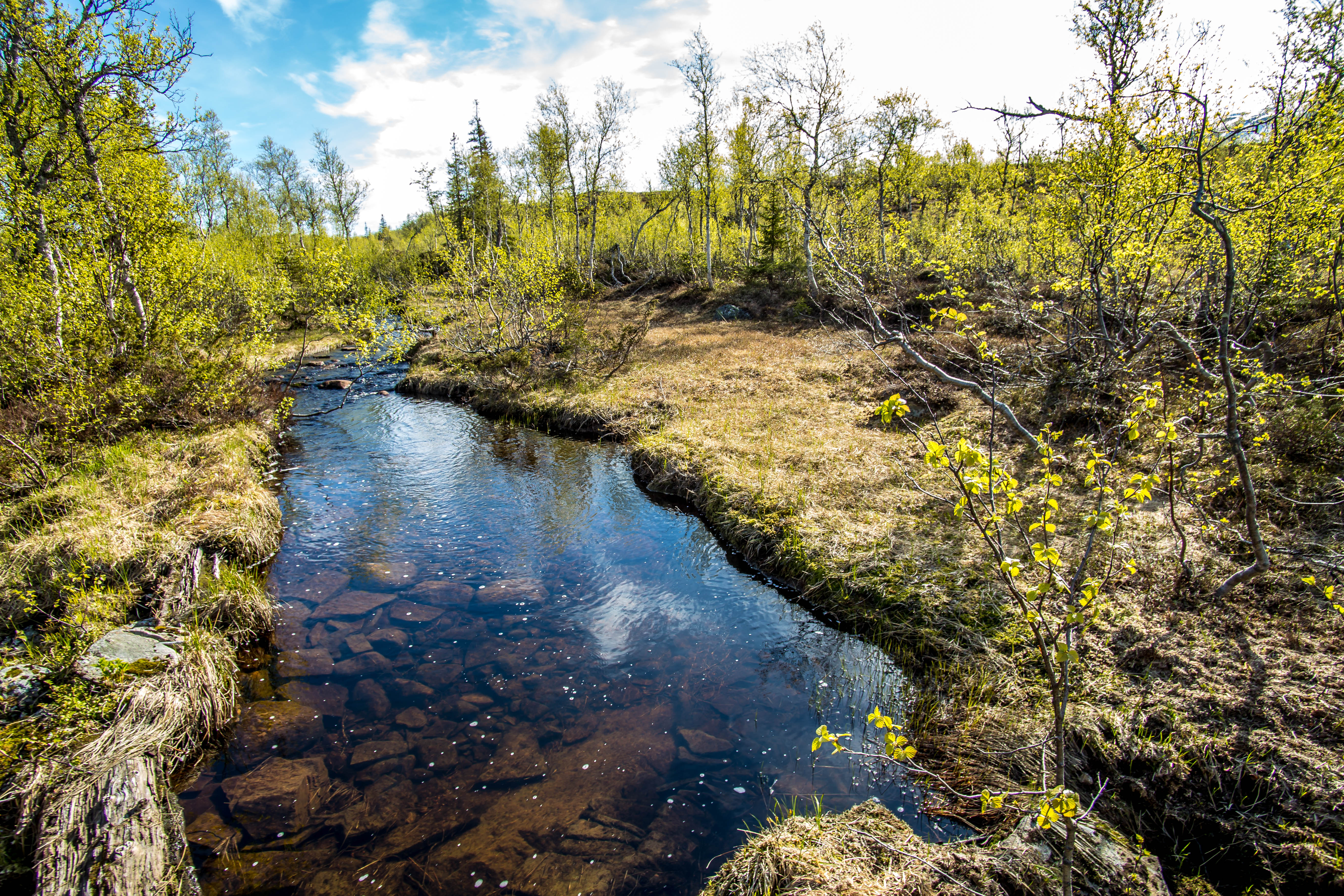
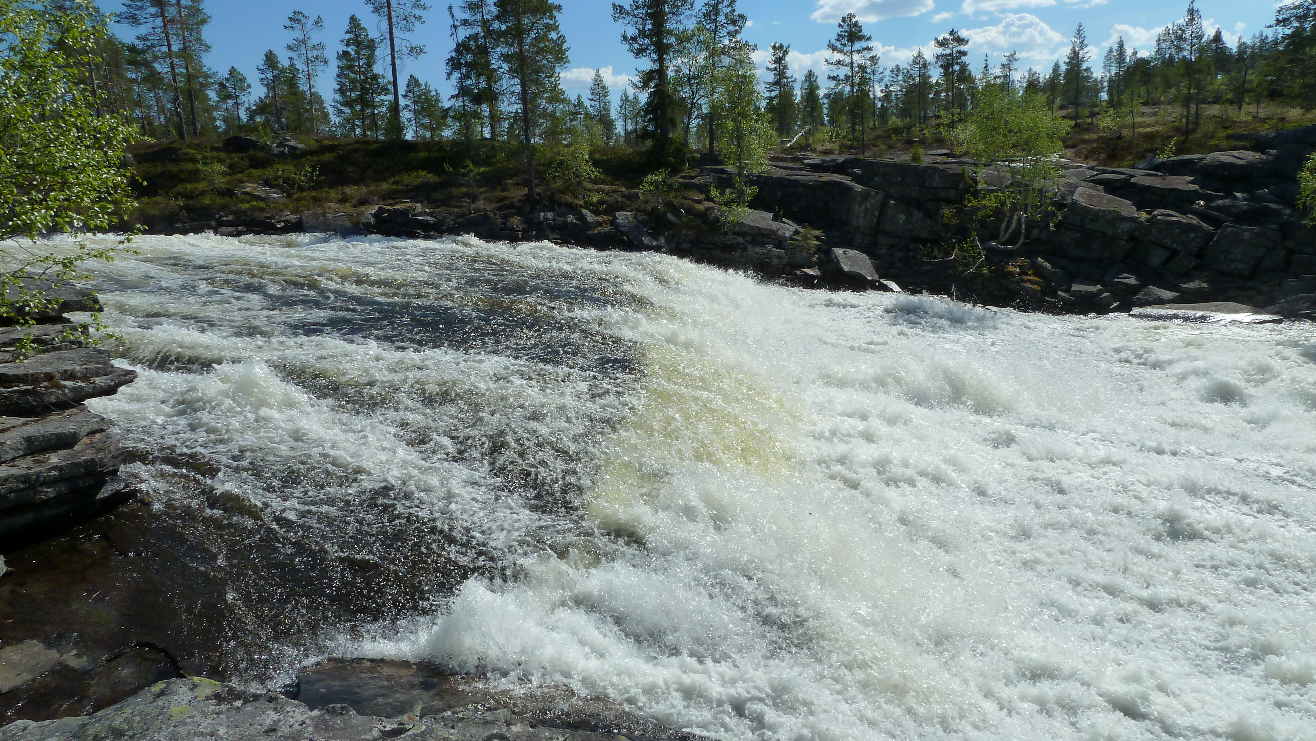
Ørnoddbekken

04.10_Z000480_2013.05.31_15.23.46_B00452_3S
04.10_Z000450_2013.05.31_15.21.38_B00451_3S
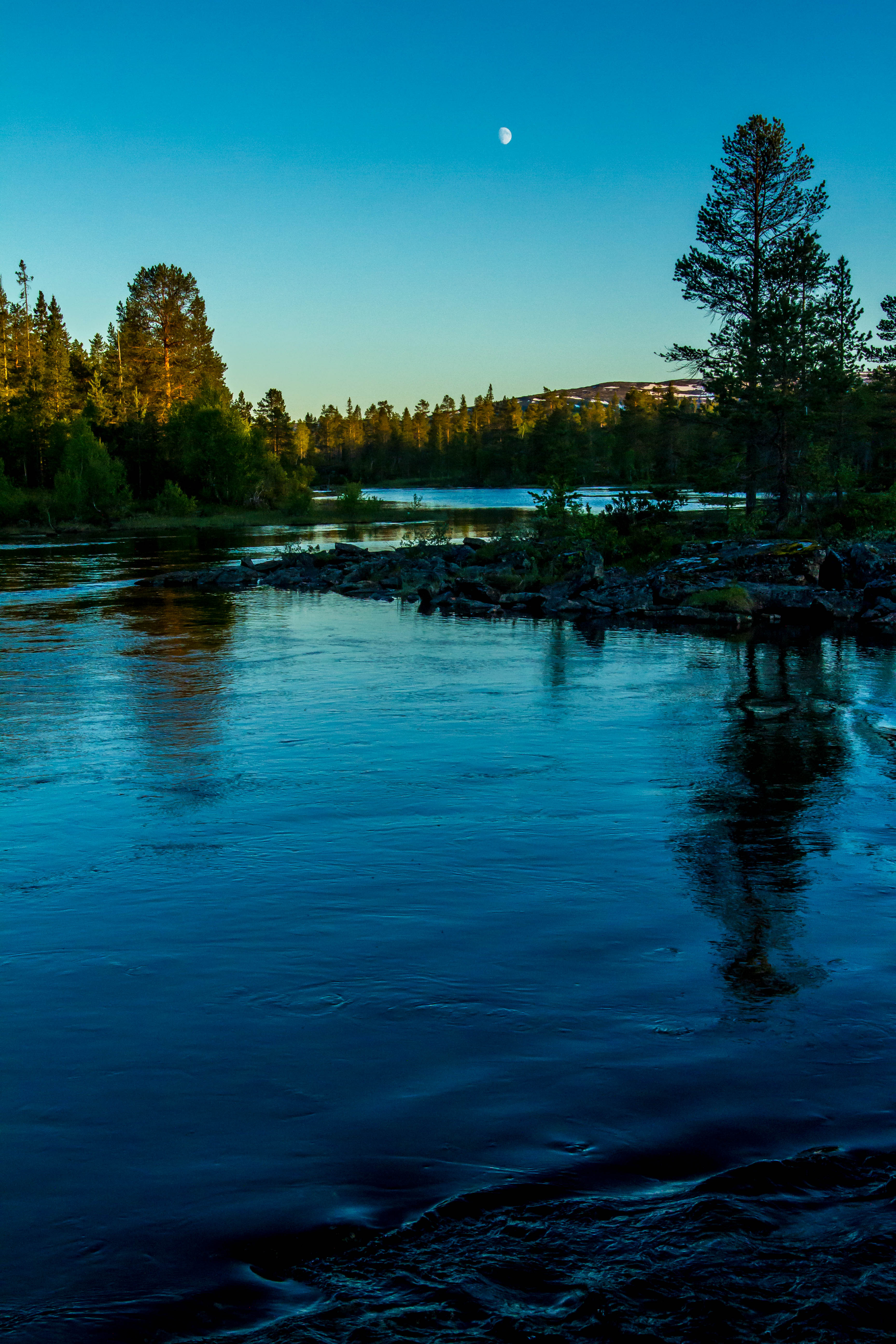
Twilight at Bertilbergan resting place

04.10_Z000030_2013.05.31_15.14.52_B00443_3S

04.10_Z000100_2013.05.31_15.15.30_B00445_3S

Nordlandsporten, Norway, at "Highway" E 6, Resting Place
04.10_Z000290_2013.05.31_15.18.54_B00447_3S
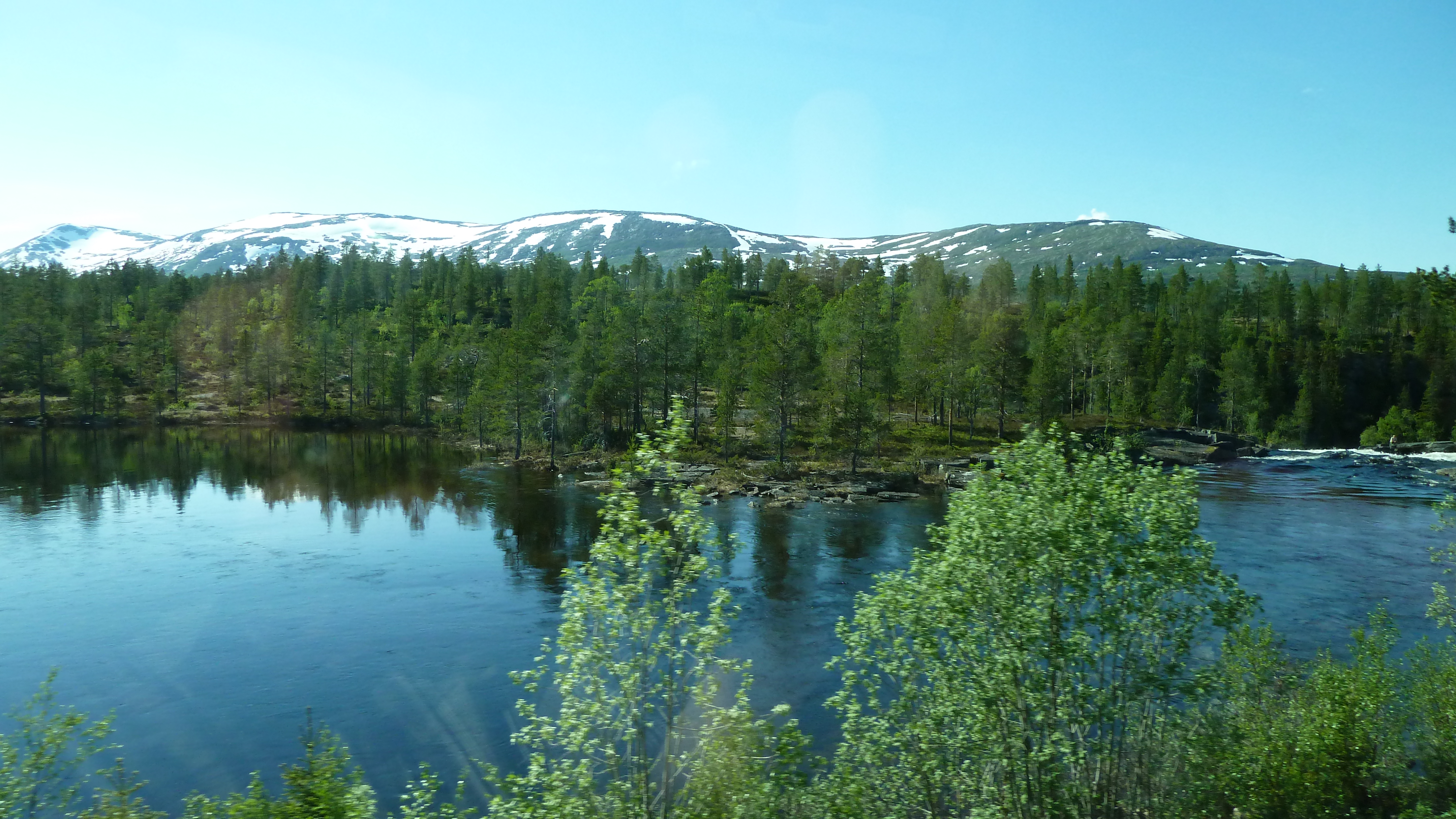
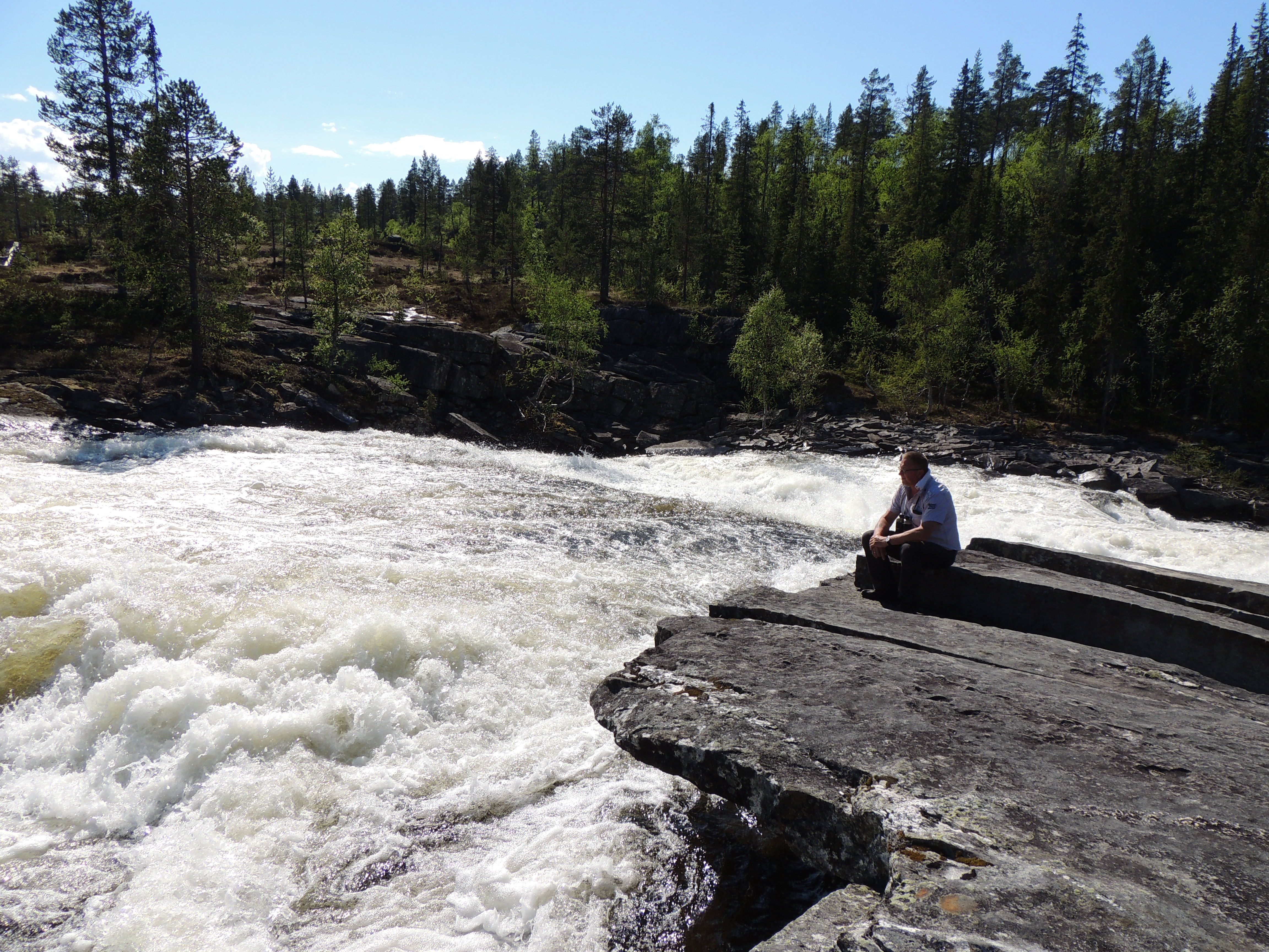
Langtjønna near Majavatn, Norway
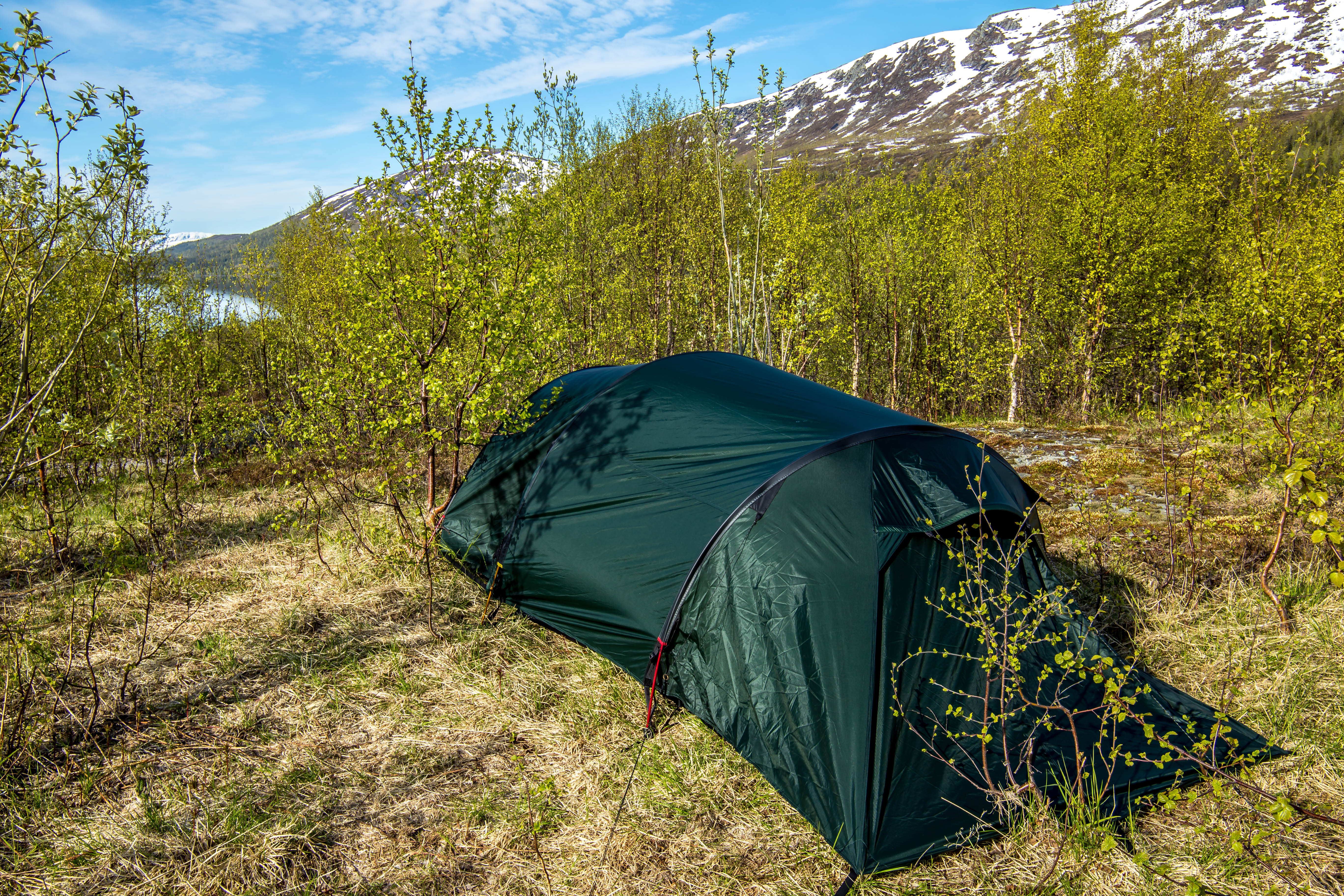
Tent at Ørnoddbekken

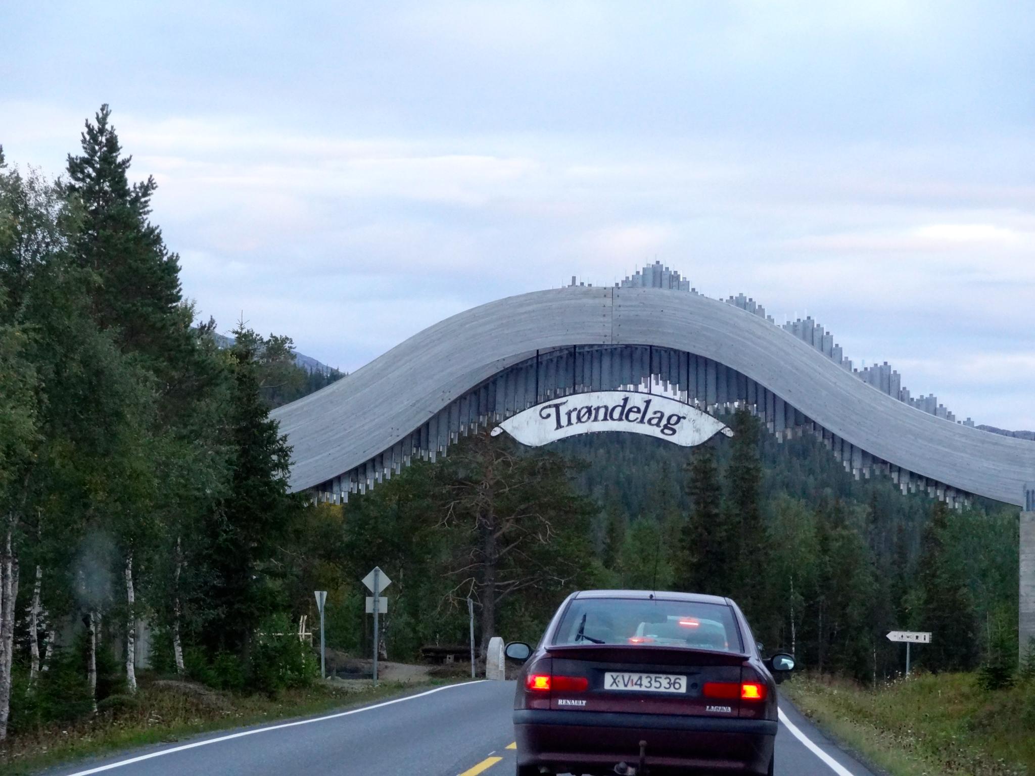
Unterwegs auf der E6
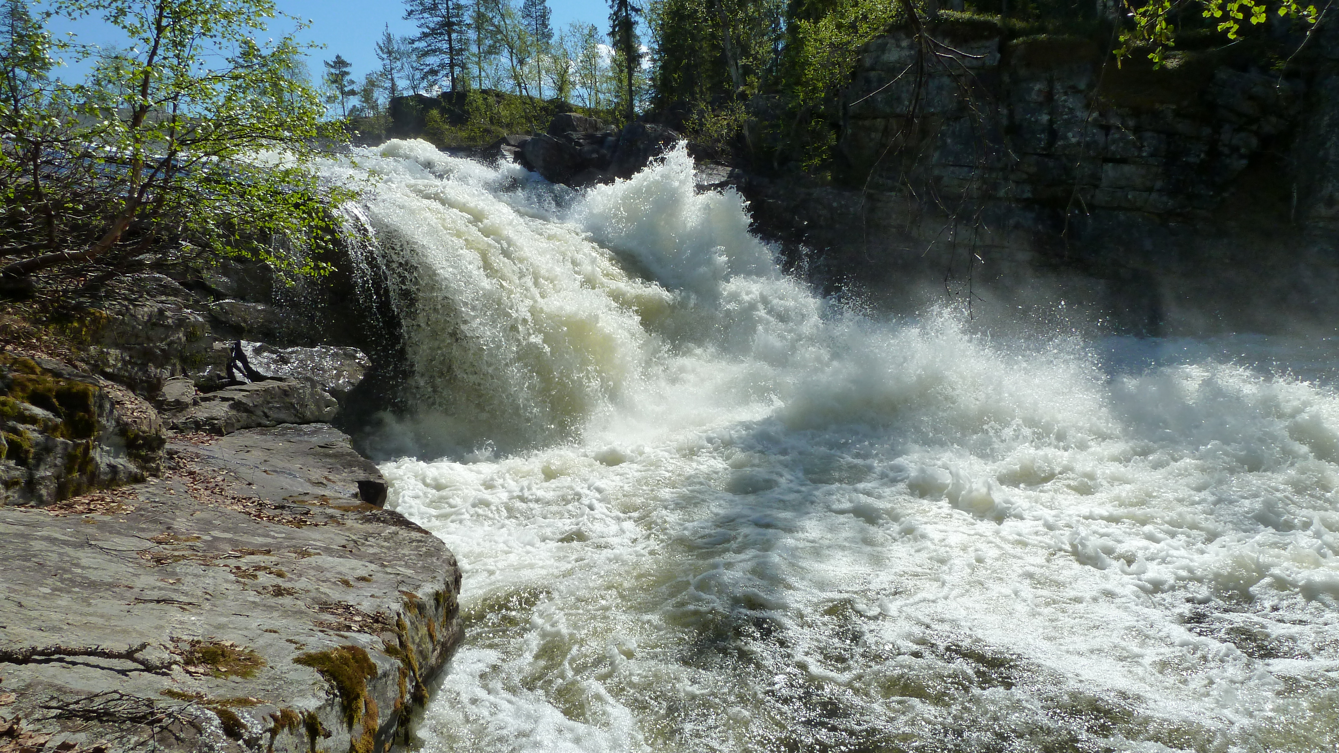
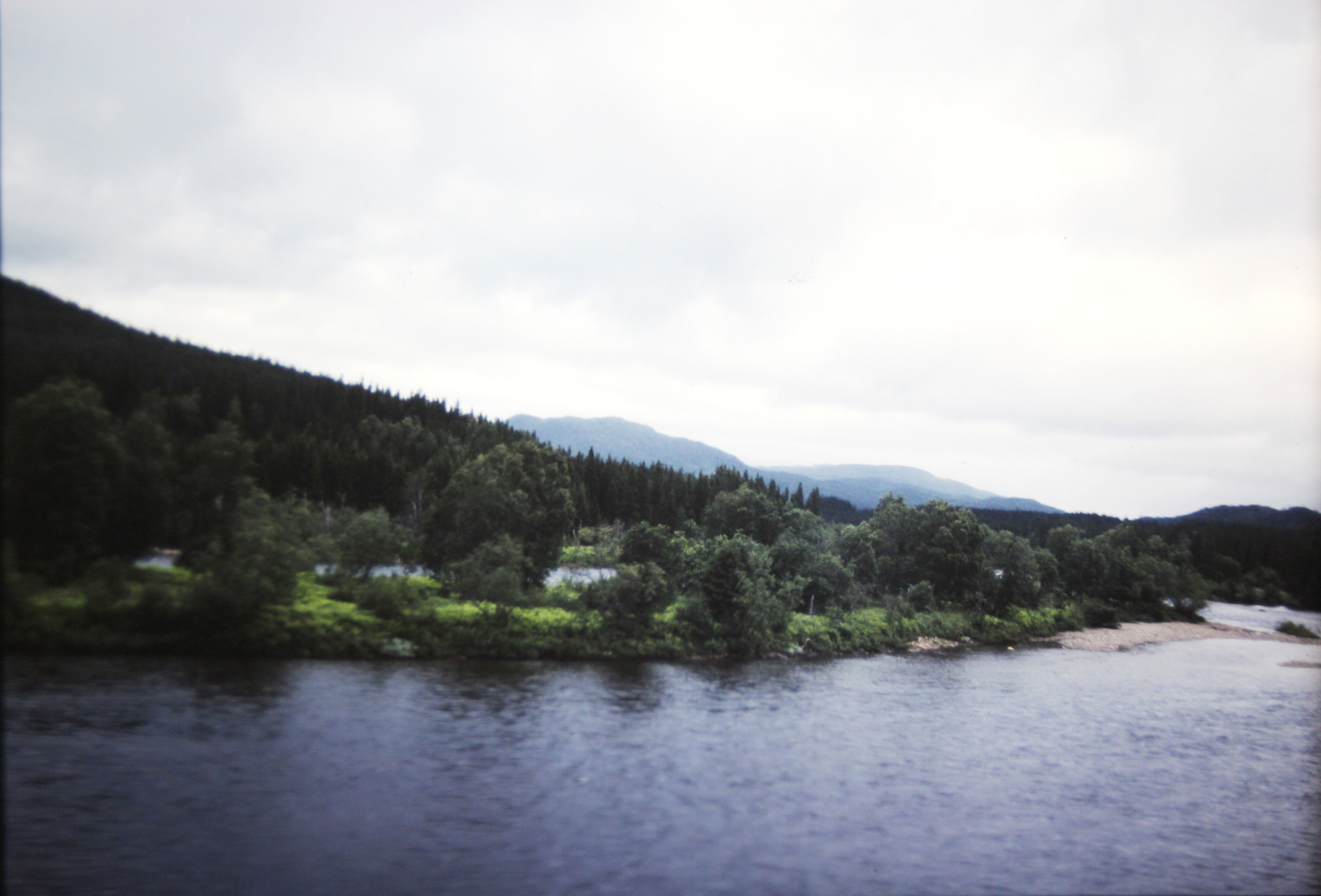
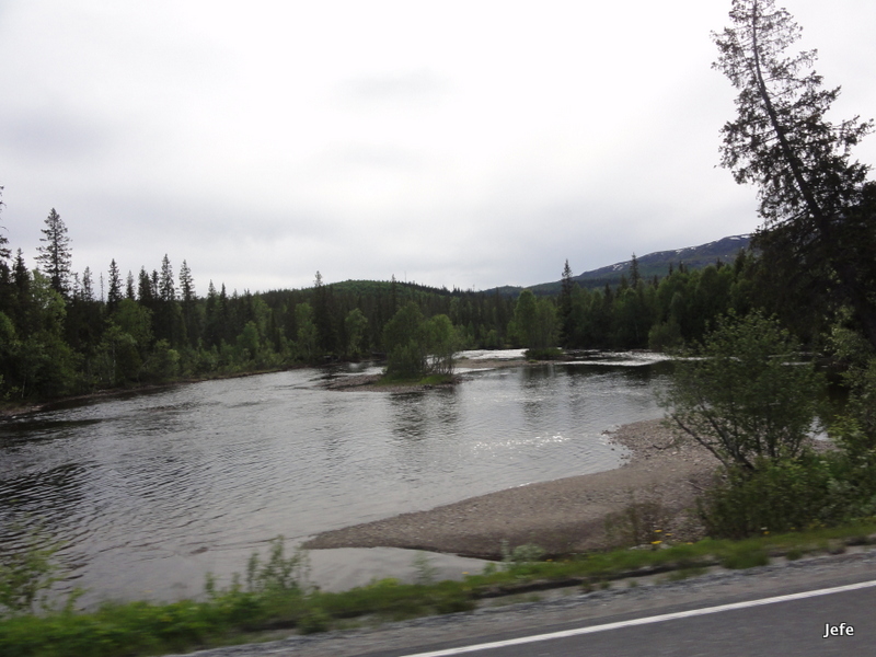
Holmvasselva River near Majavatri, Norway
04.10_Z000120_2013.05.31_15.23.32_N00360_3S
On the way to Polar Circle

04.10_Z000070_2013.05.31_15.15.06_B00444_3S

161-Crossing Norway....
163-Crossing Norway....
Topographic Map of E6 18, Trofors, Norway
Find elevation by address:

Places near E6 18, Trofors, Norway:
E6 30, Trofors, Norway
E6, Trofors, Norway
Fv 70, Trofors, Norway
E6 30, Trofors, Norway
E6, Trofors, Norway
Grane
E6 80, Trofors, Norway
Børgefjell/byrkije
Mosjøen
Rv76, Hommelstø, Norway
Scandinavian Mountains
Vevelstad
Recent Searches:
- Elevation of Corso Fratelli Cairoli, 35, Macerata MC, Italy
- Elevation of Tallevast Rd, Sarasota, FL, USA
- Elevation of 4th St E, Sonoma, CA, USA
- Elevation of Black Hollow Rd, Pennsdale, PA, USA
- Elevation of Oakland Ave, Williamsport, PA, USA
- Elevation of Pedrógão Grande, Portugal
- Elevation of Klee Dr, Martinsburg, WV, USA
- Elevation of Via Roma, Pieranica CR, Italy
- Elevation of Tavkvetili Mountain, Georgia
- Elevation of Hartfords Bluff Cir, Mt Pleasant, SC, USA