Elevation of Dutch John, Red Canyon, UT, USA
Location: United States > Utah > Daggett County >
Longitude: -109.39096
Latitude: 40.9291264
Elevation: 1942m / 6371feet
Barometric Pressure: 80KPa
Elevation Map:
Satellite Map:
Related Photos:

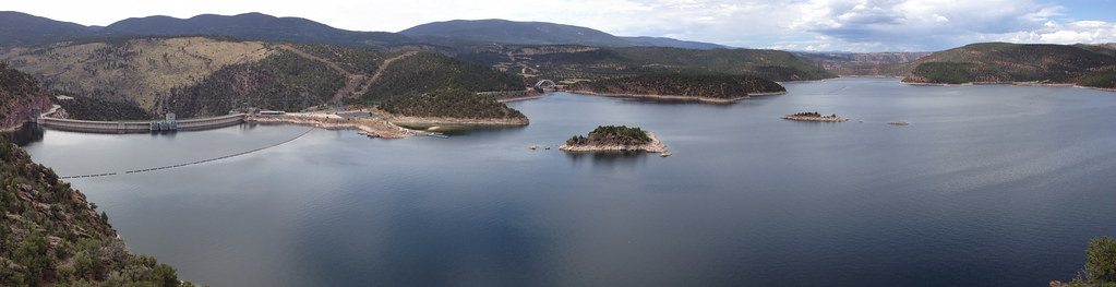
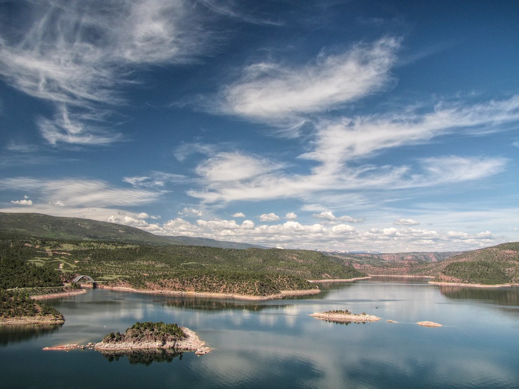
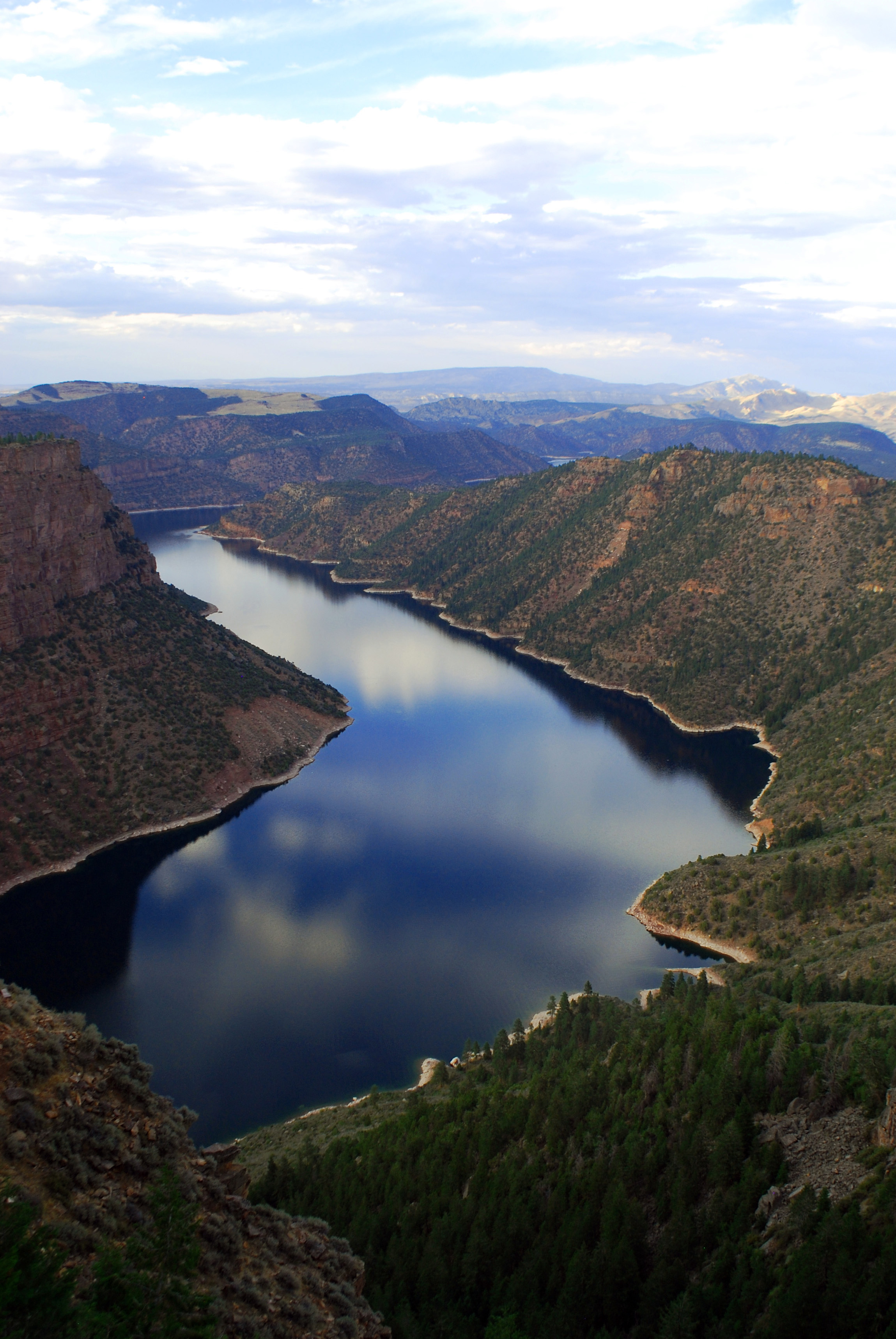
Flaming Gorge_Panorama

Canyon Rim Campground
Western U.S. Vacation 2012
X in the river - photo version

Lodge with a View
Flaming Gorge Reservoir _R6D1868e1
Flaming Gorge, WY
Skull vists Flaming Gorge Dam
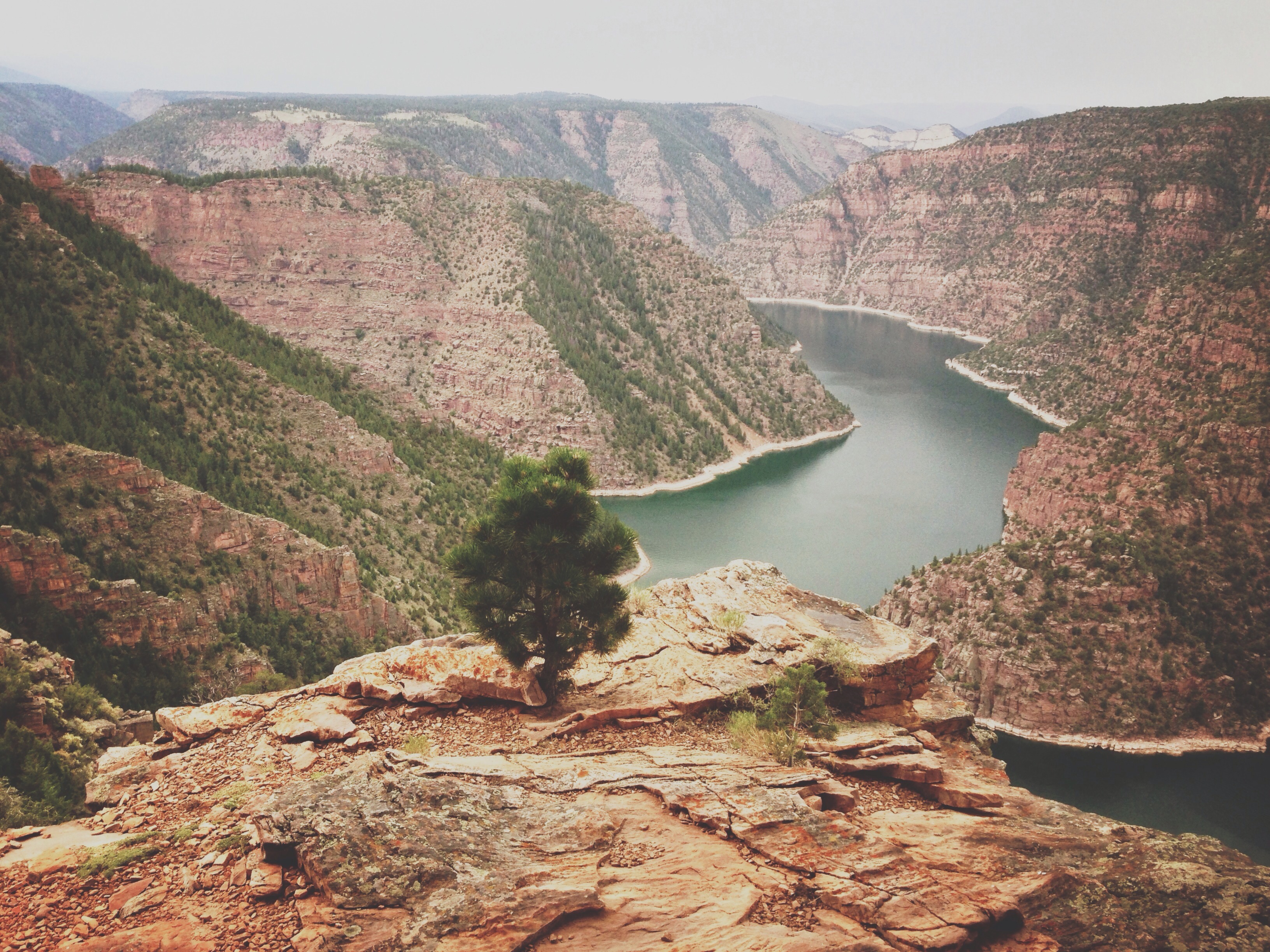
View from the top
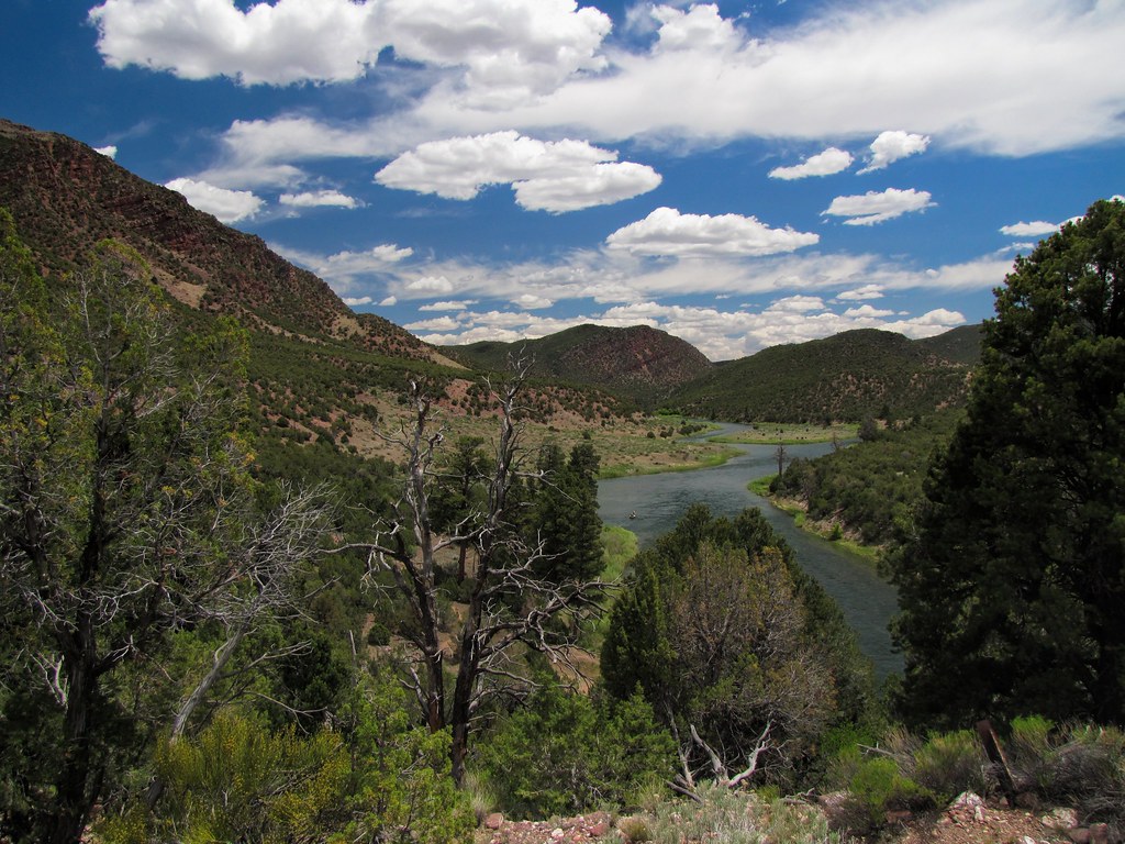
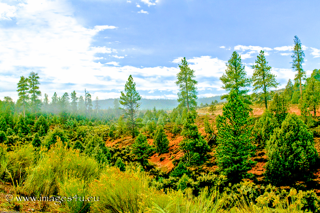
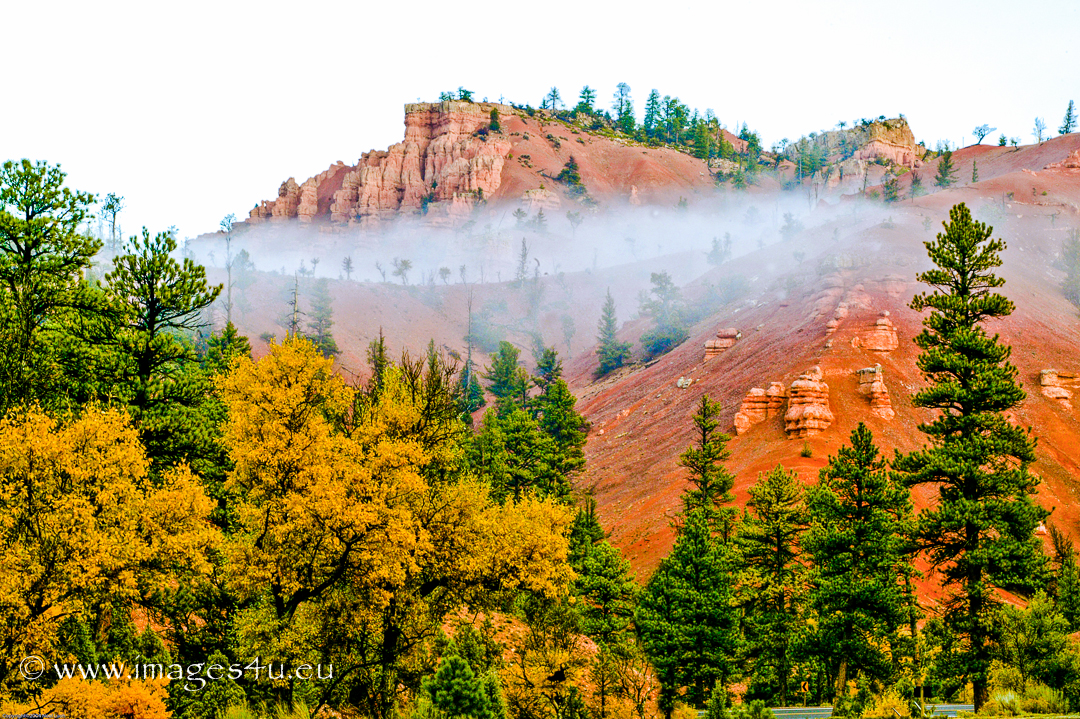
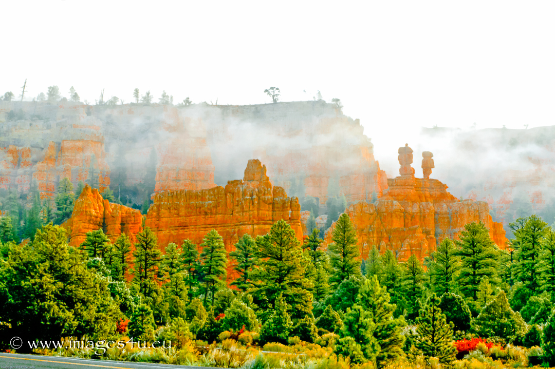
Red Canyon
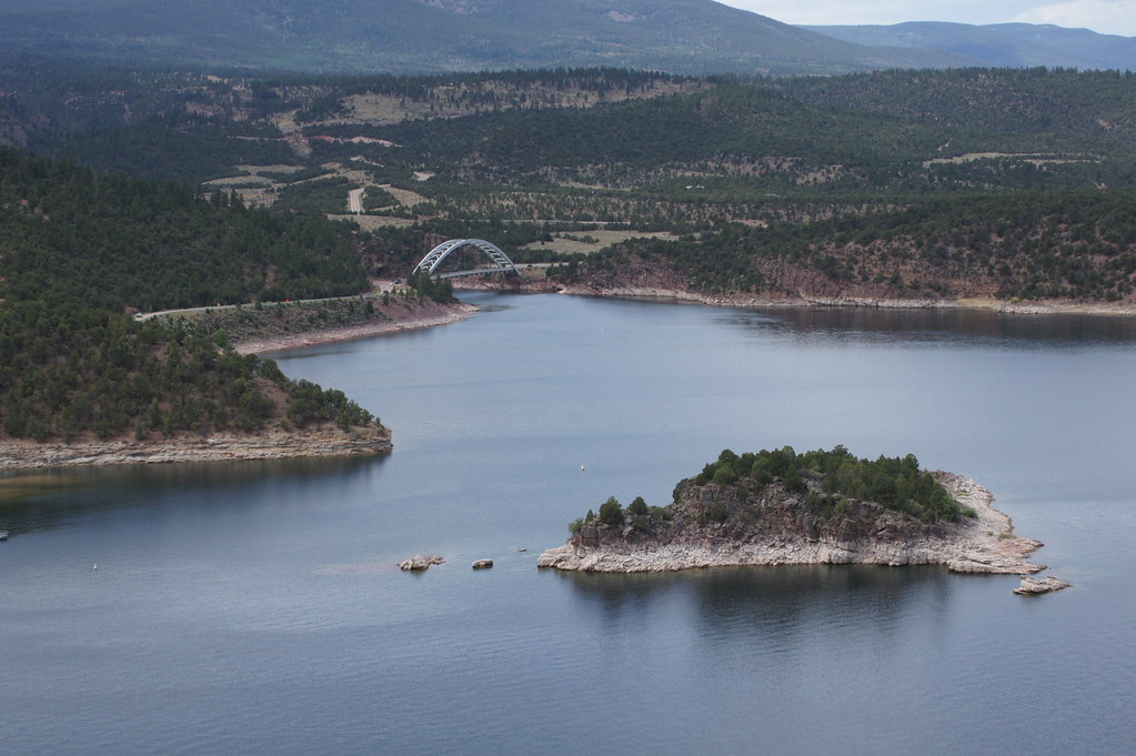
Cart Creek Bridge - Flaming Gorge, Utah

Red Canyon
A day trip through Utah/Wyoming.

Flaming Gorge Sheep Creek Canyon
Flaming Gorge
Cart Creek Bridge

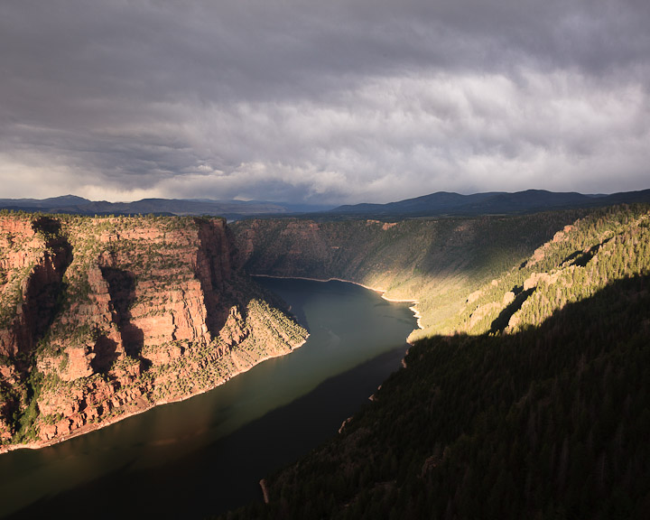
Clearing Summer Storm

IMG_1732.JPG
041005_Red Canyon_001.jpg
Canyon Rim
041005_Red Canyon_003.jpg
anh nen androi
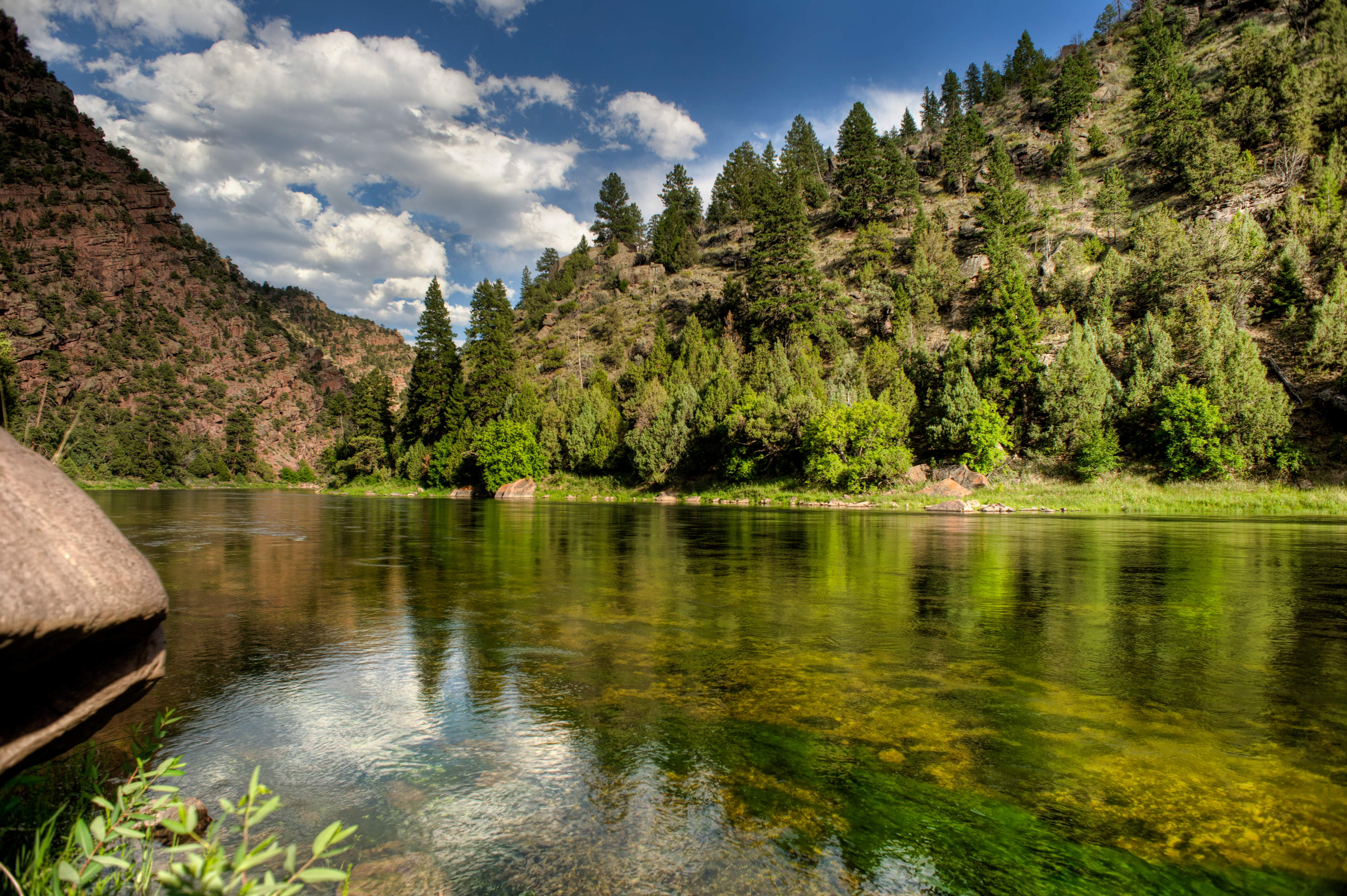
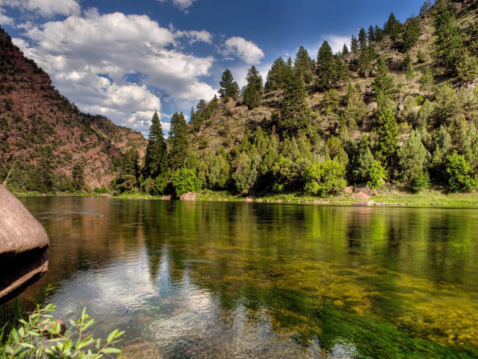
Green River Green
041005_Red Canyon_010.jpg

IMG_1733.JPG
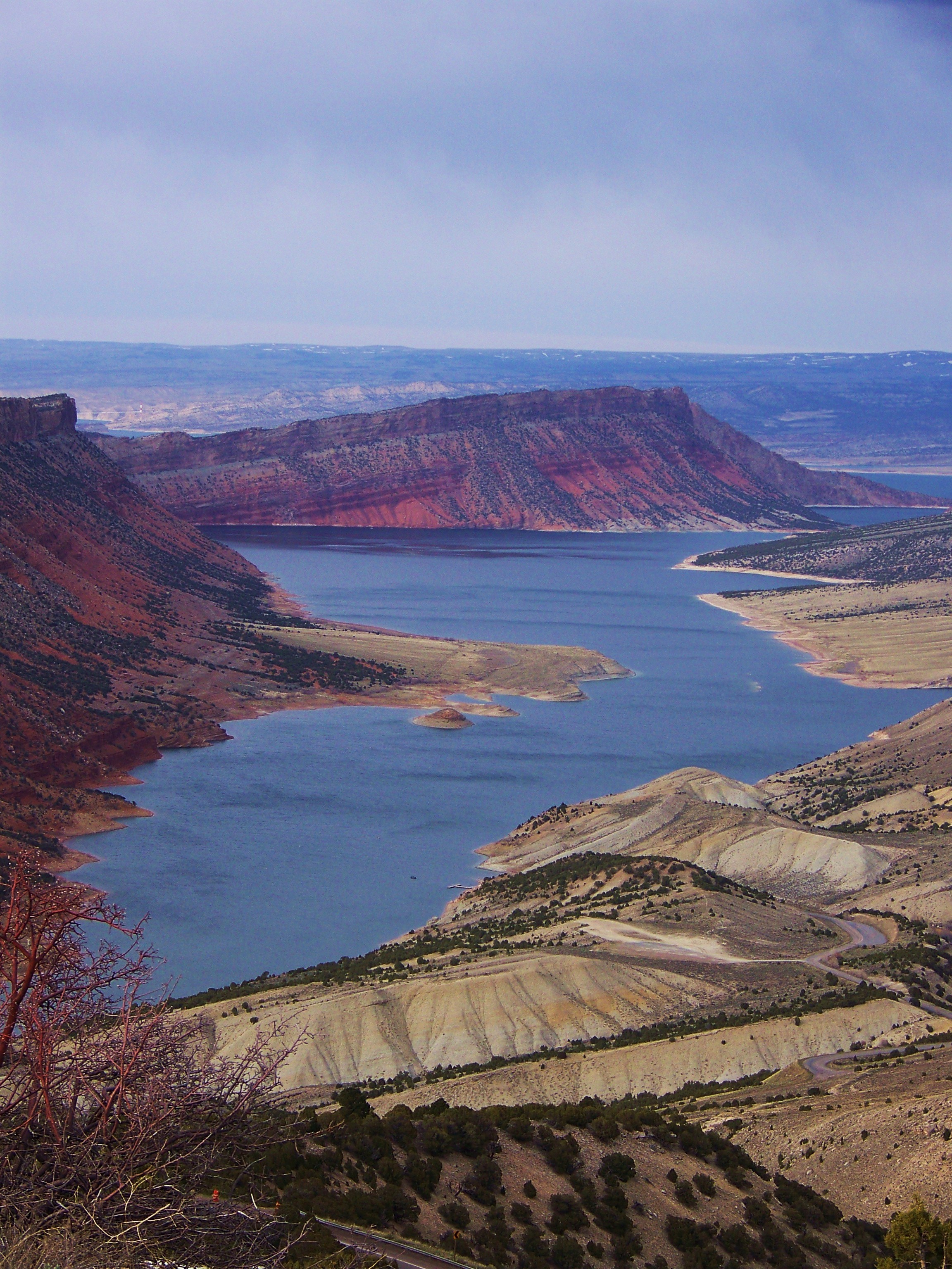
Flaming Gorge National Recreation Area

Flaming Gorge
Western U.S. Vacation 2012

05-13-13 252
Topographic Map of Dutch John, Red Canyon, UT, USA
Find elevation by address:

Places in Dutch John, Red Canyon, UT, USA:
Places near Dutch John, Red Canyon, UT, USA:
Flaming Gorge Dam Overlook Road
Daggett County
Lodgepole At Flaming Gorge
Red Canyon Visitor Center
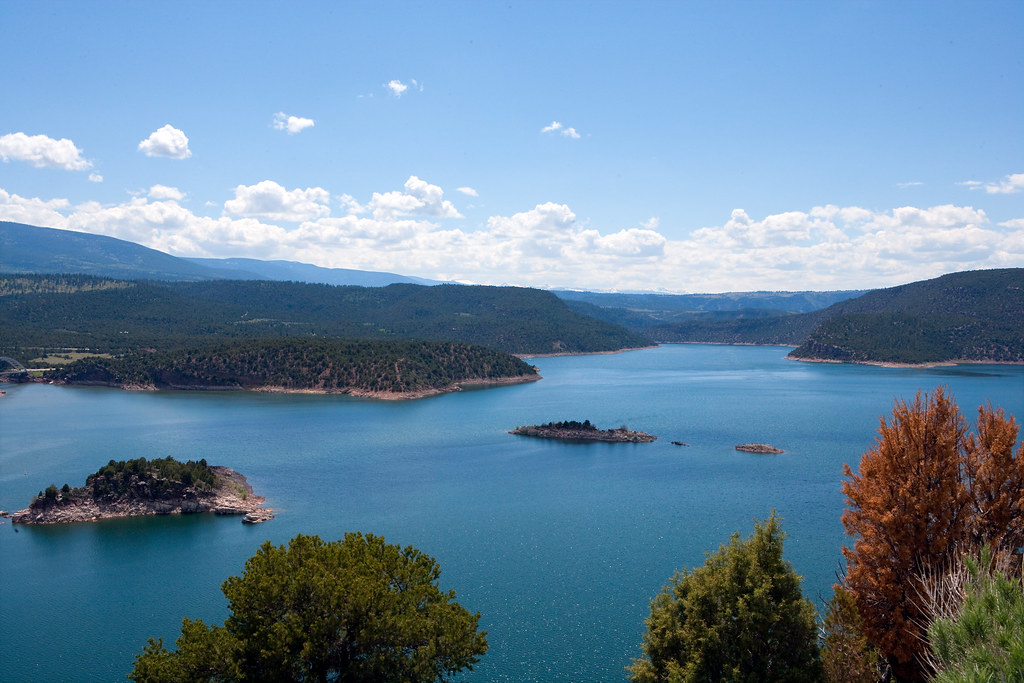
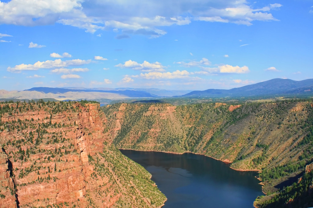
Flaming Gorge Reservoir
2750 Hitching Post Dr
2684 Hitching Post Dr
2040 E Teton Blvd
735 Brandner Cir
Green River
1055 Wild Horse Canyon Rd
9 Spotted Tail Cir, Rock Springs, WY, USA
525 Highland Ave
WY-, Green River, WY, USA
Rock Springs, WY, USA
Plainview Dr, Rock Springs, WY, USA
Dewar Drive
2636 Commercial Way
3103 Sandy Rd
207 Polk St
Recent Searches:
- Elevation of Corso Fratelli Cairoli, 35, Macerata MC, Italy
- Elevation of Tallevast Rd, Sarasota, FL, USA
- Elevation of 4th St E, Sonoma, CA, USA
- Elevation of Black Hollow Rd, Pennsdale, PA, USA
- Elevation of Oakland Ave, Williamsport, PA, USA
- Elevation of Pedrógão Grande, Portugal
- Elevation of Klee Dr, Martinsburg, WV, USA
- Elevation of Via Roma, Pieranica CR, Italy
- Elevation of Tavkvetili Mountain, Georgia
- Elevation of Hartfords Bluff Cir, Mt Pleasant, SC, USA