Elevation of Daggett County, UT, USA
Location: United States > Utah >
Longitude: -109.52110
Latitude: 40.9053845
Elevation: 1999m / 6558feet
Barometric Pressure: 79KPa
Elevation Map:
Satellite Map:
Related Photos:
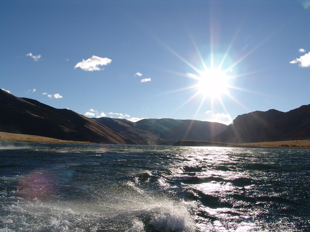
Sheep Creek Bay

Canyon Rim Campground
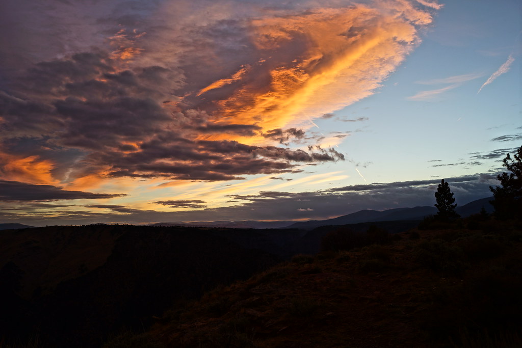
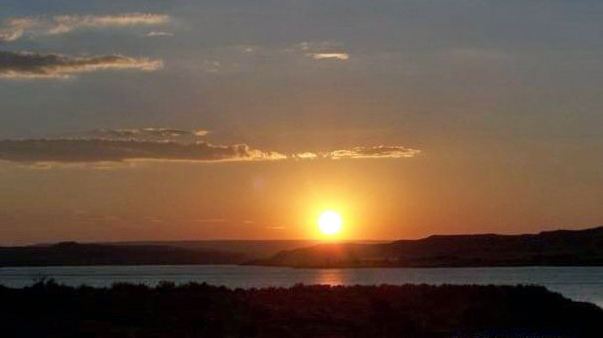
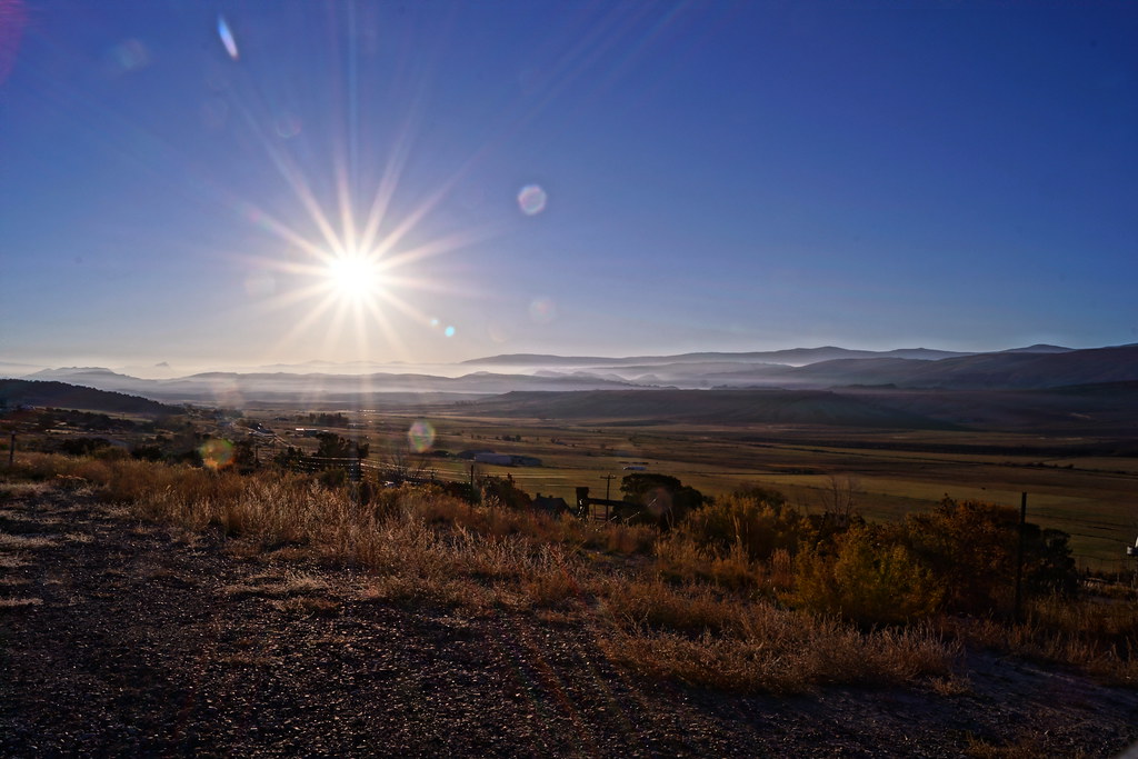
Morning Views
landscape view at utah

Flaming Gorge - Camp from Above
landscape view, near Colorado

landscape view at utah, at view point, near Colorado
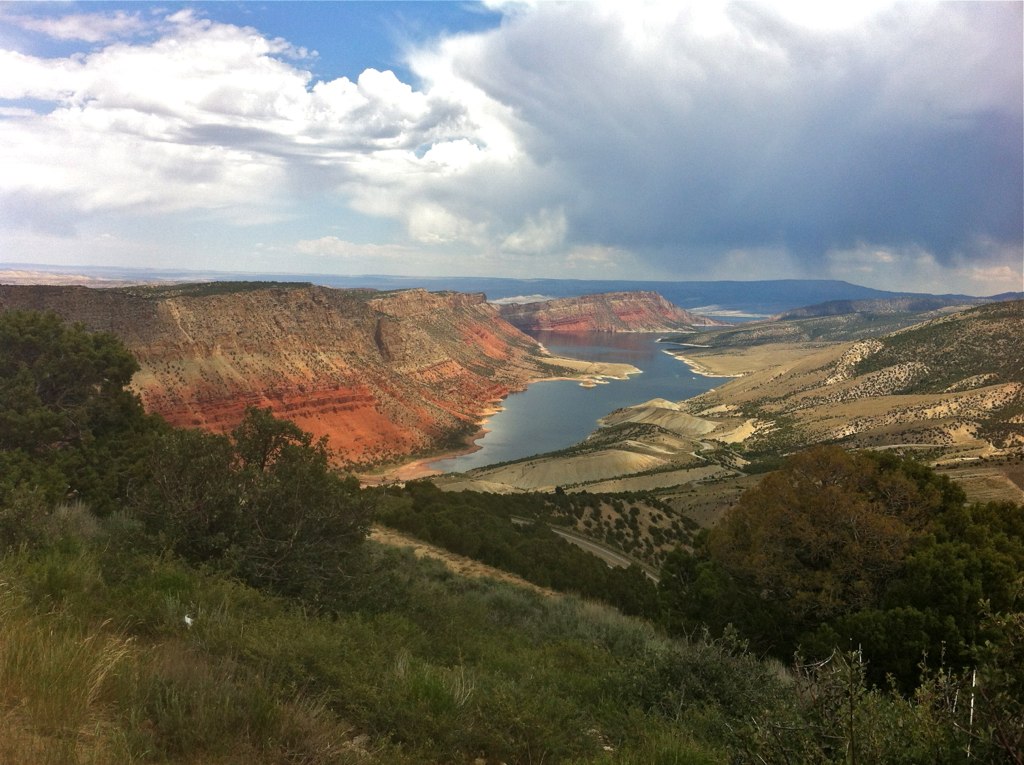
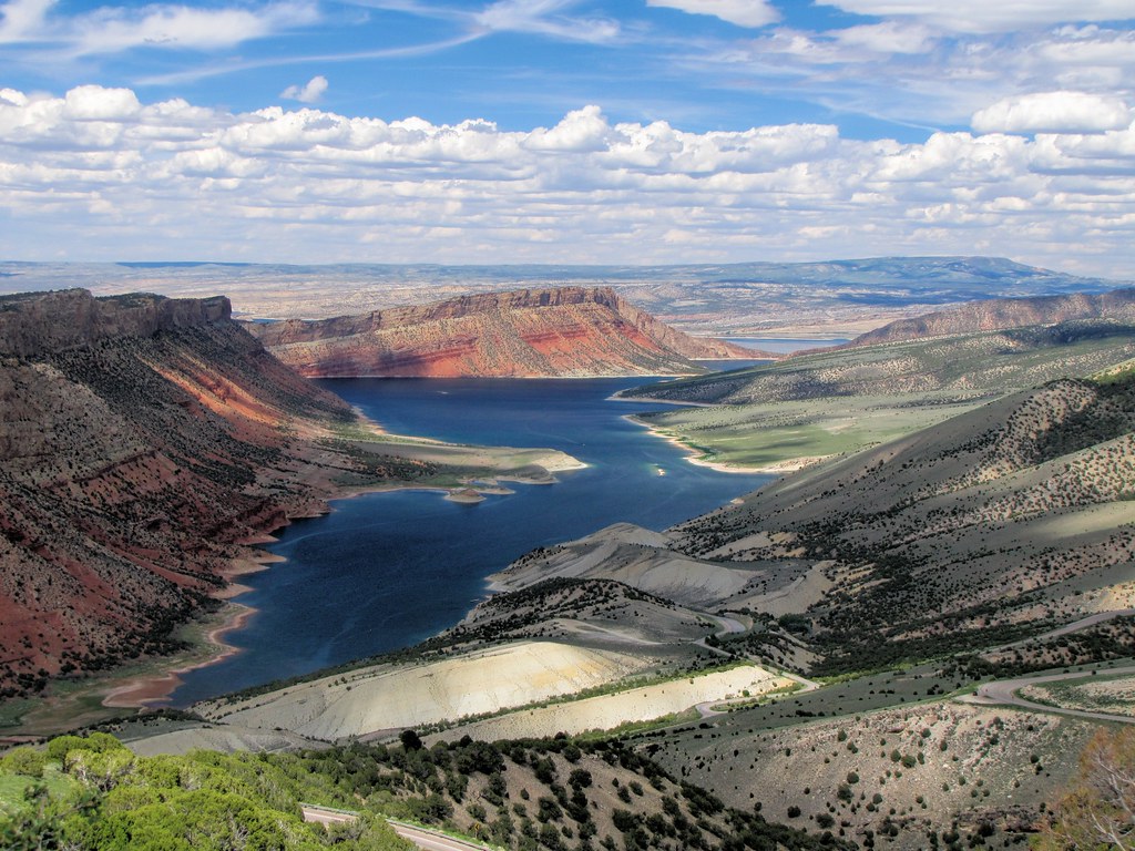
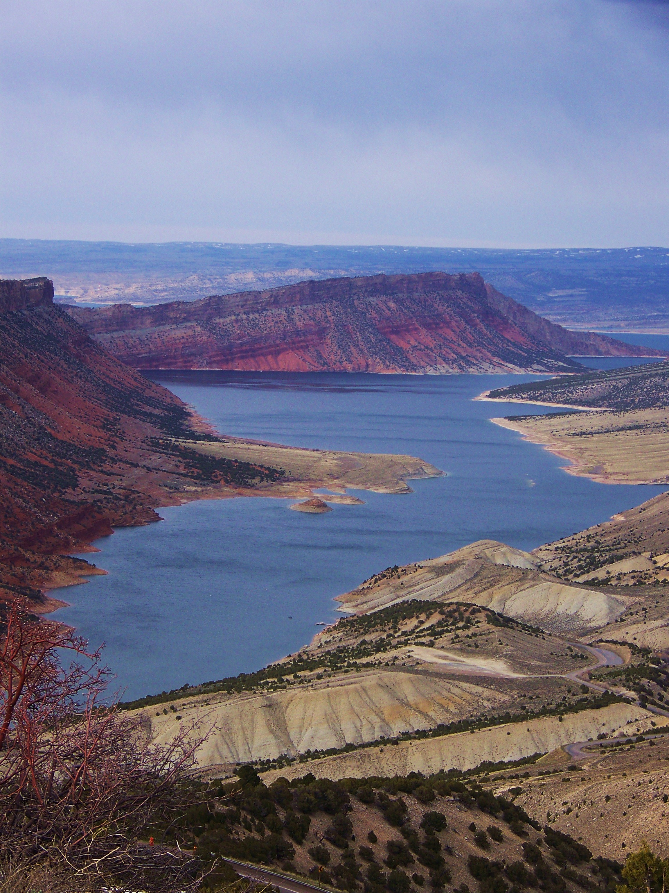
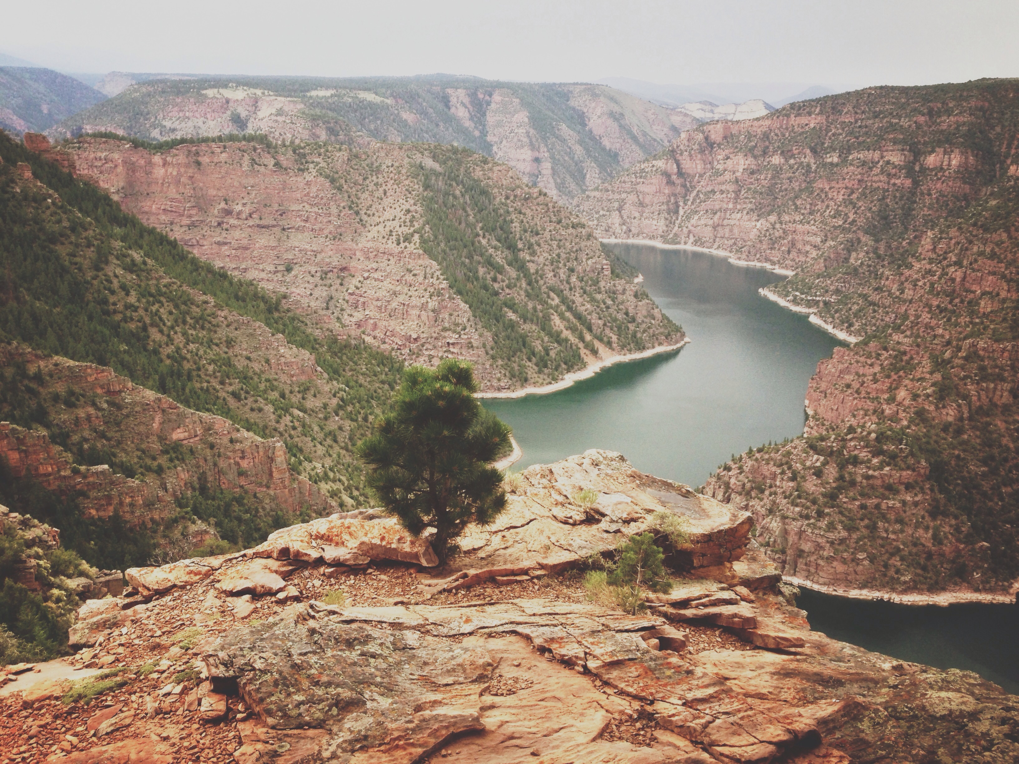
Flaming Gorge National Recreation Area
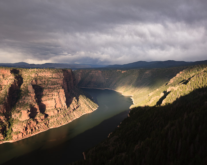
View north of Flaming Gorge, UT

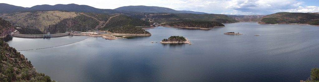
Flaming Gorge_Panorama
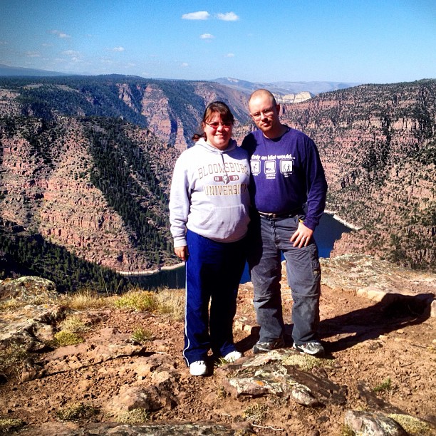
Western U.S. Vacation 2012

Lodge with a View
Flaming Gorge Reservoir _R6D1868e1
Flaming Gorge, WY
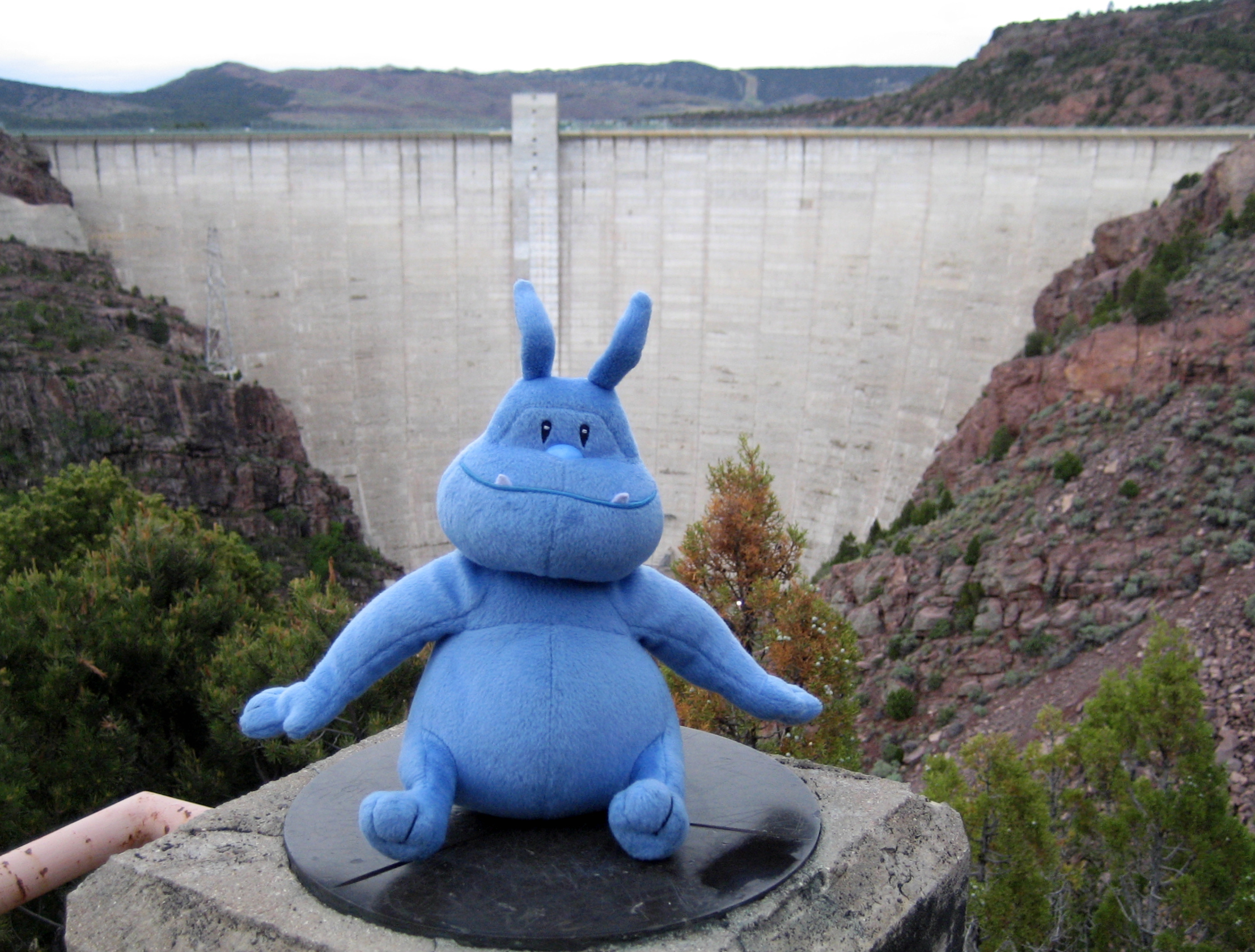
Skull vists Flaming Gorge Dam
View from the top
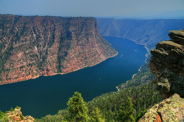
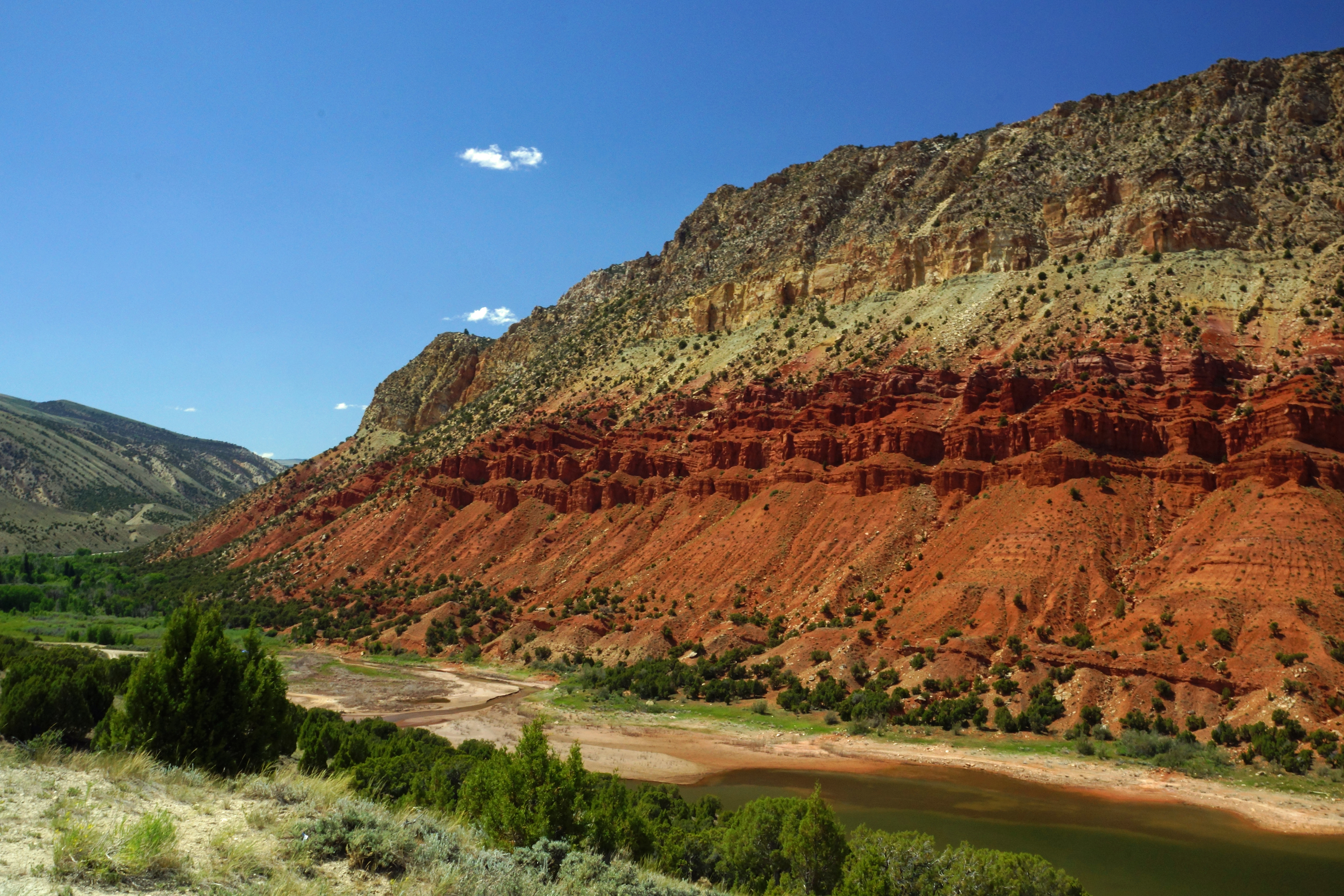
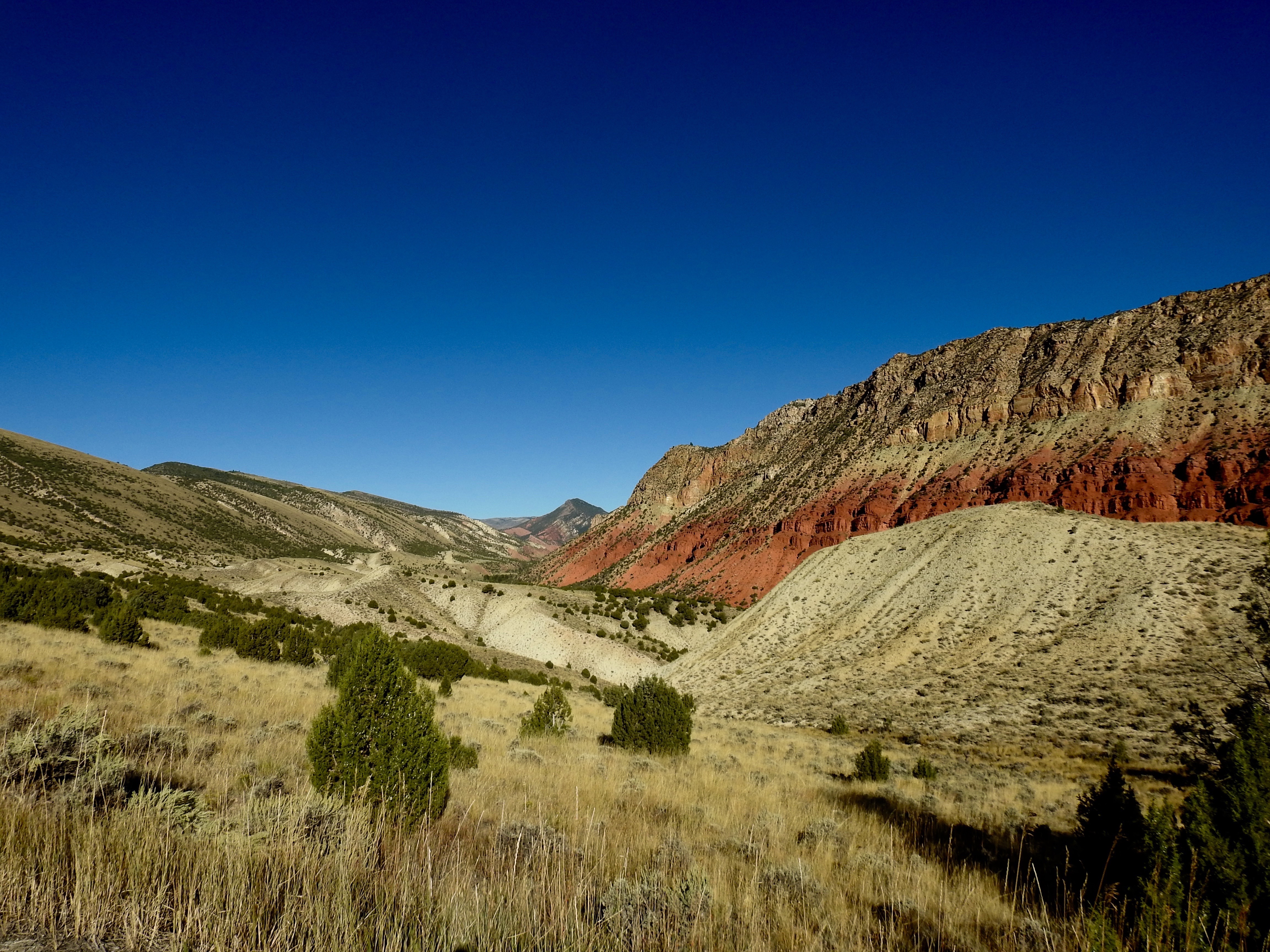
Red Canyon

paysage du Wyoming ...flaming gorge .
Cart Creek Bridge - Flaming Gorge, Utah

Red Canyon
Flaming Gorge National Recreation Area
Another HDR of the Gorge

DSC07076 Sheep Creek Bay
Bare Top HDR

Flaming Gorge National Recreation Area

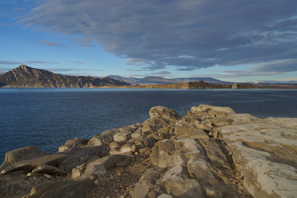
Sheep Creek Bay. Flaming Gorge Reservoir, Utah.
Flaming Gorge
Flaming Gorge Utah
Manilla Utah
The Point, Flaming Gorge Utah
Balmy afternoon at the Gorge
A day trip through Utah/Wyoming.

Flaming Gorge Sheep Creek Canyon
Flaming Gorge
Cart Creek Bridge
Topographic Map of Daggett County, UT, USA
Find elevation by address:

Places in Daggett County, UT, USA:
Places near Daggett County, UT, USA:
Red Canyon Visitor Center
Flaming Gorge Dam Overlook Road
Lodgepole At Flaming Gorge
Dutch John
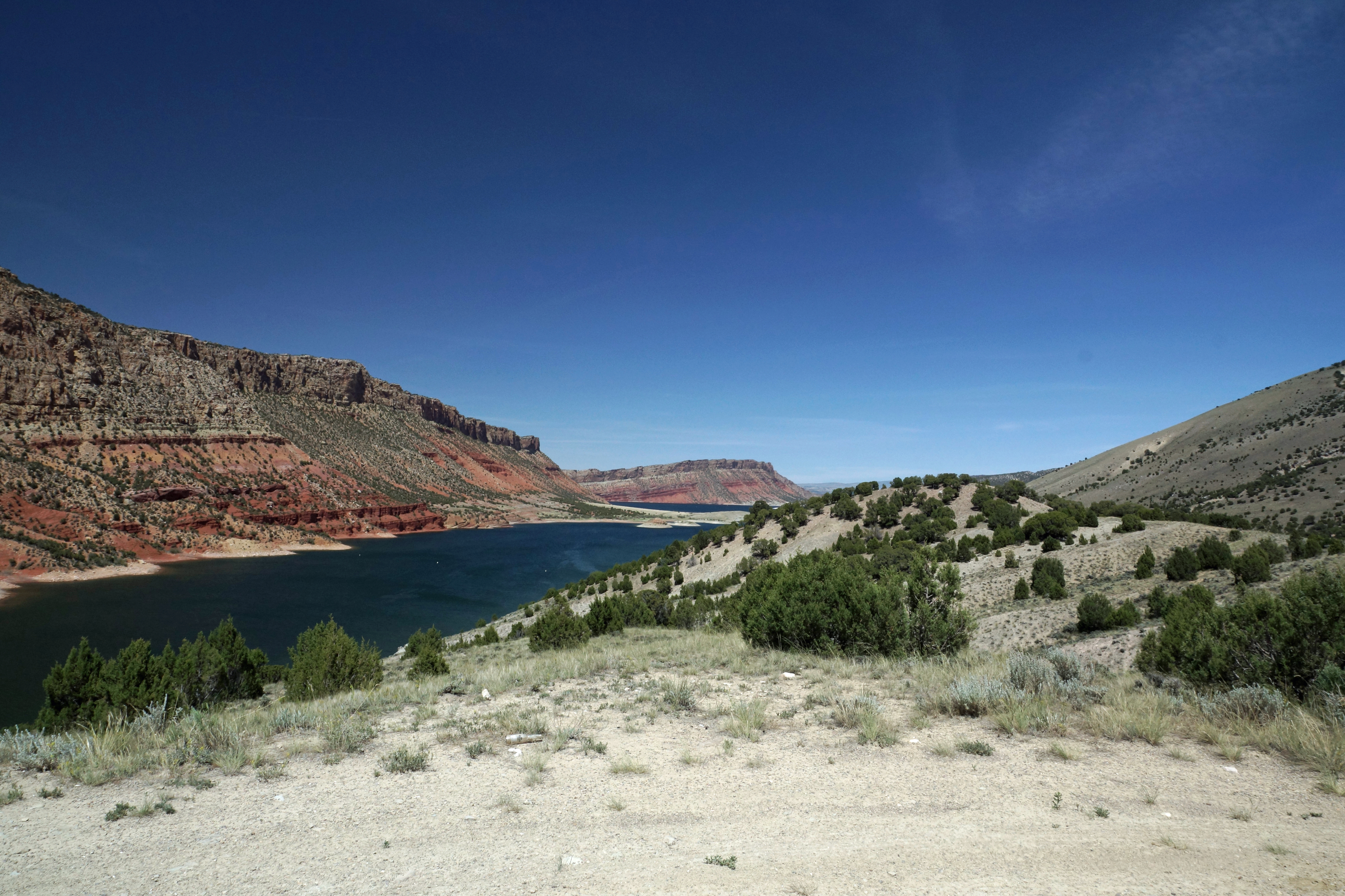
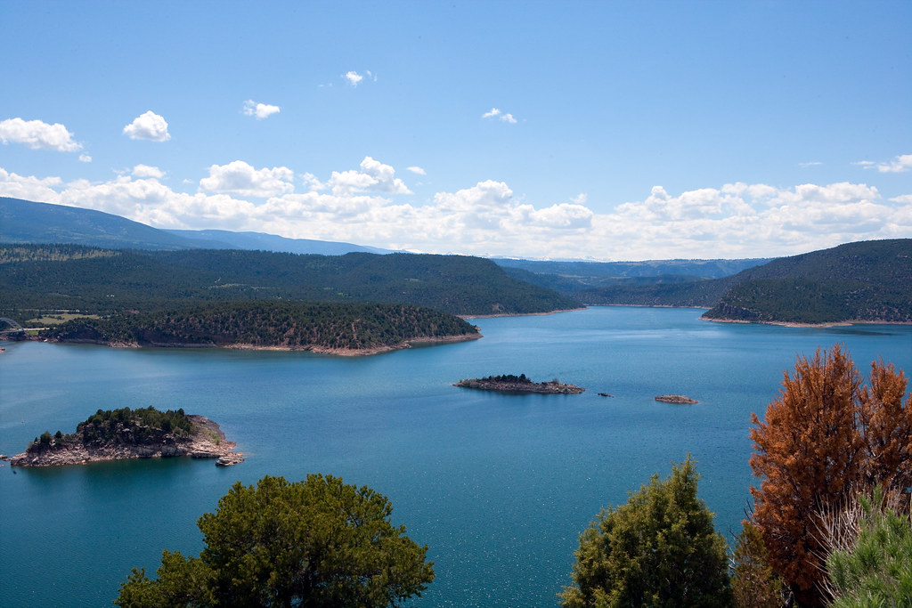
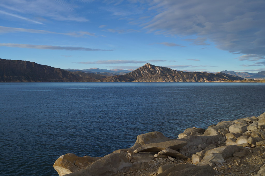
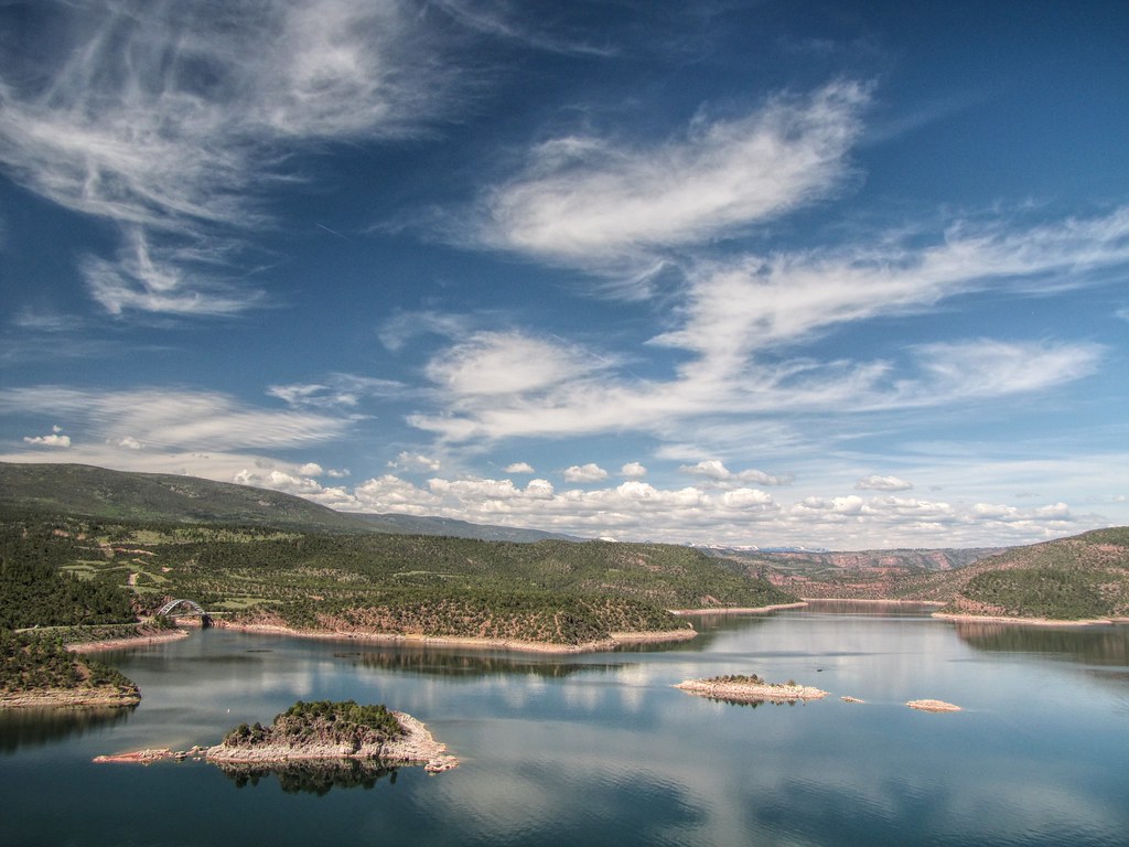
Flaming Gorge Reservoir
2750 Hitching Post Dr
2684 Hitching Post Dr
2040 E Teton Blvd
735 Brandner Cir
Green River
1055 Wild Horse Canyon Rd
525 Highland Ave
WY-, Green River, WY, USA
9 Spotted Tail Cir, Rock Springs, WY, USA
Plainview Dr, Rock Springs, WY, USA
Dewar Drive
2636 Commercial Way
3103 Sandy Rd
207 Polk St
861 Burr Dr
Recent Searches:
- Elevation of Corso Fratelli Cairoli, 35, Macerata MC, Italy
- Elevation of Tallevast Rd, Sarasota, FL, USA
- Elevation of 4th St E, Sonoma, CA, USA
- Elevation of Black Hollow Rd, Pennsdale, PA, USA
- Elevation of Oakland Ave, Williamsport, PA, USA
- Elevation of Pedrógão Grande, Portugal
- Elevation of Klee Dr, Martinsburg, WV, USA
- Elevation of Via Roma, Pieranica CR, Italy
- Elevation of Tavkvetili Mountain, Georgia
- Elevation of Hartfords Bluff Cir, Mt Pleasant, SC, USA