Elevation map of Rock Springs, WY, USA
Location: United States > Wyoming > Rock Springs >
Longitude: -108.90268
Latitude: 41.3615496
Elevation: 2212m / 7257feet
Barometric Pressure: 77KPa
Elevation Map:
Satellite Map:
Related Photos:
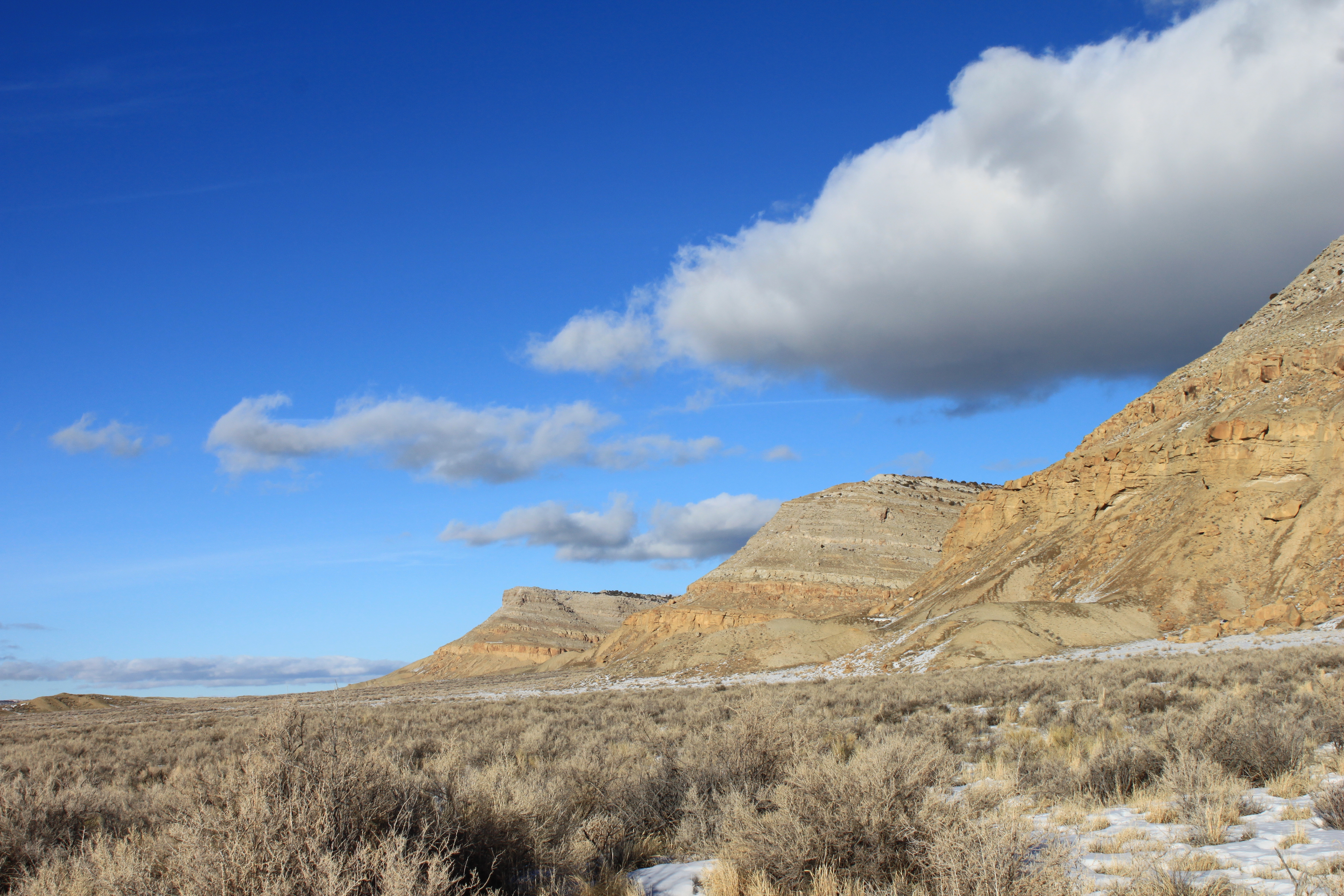
Winter Basking
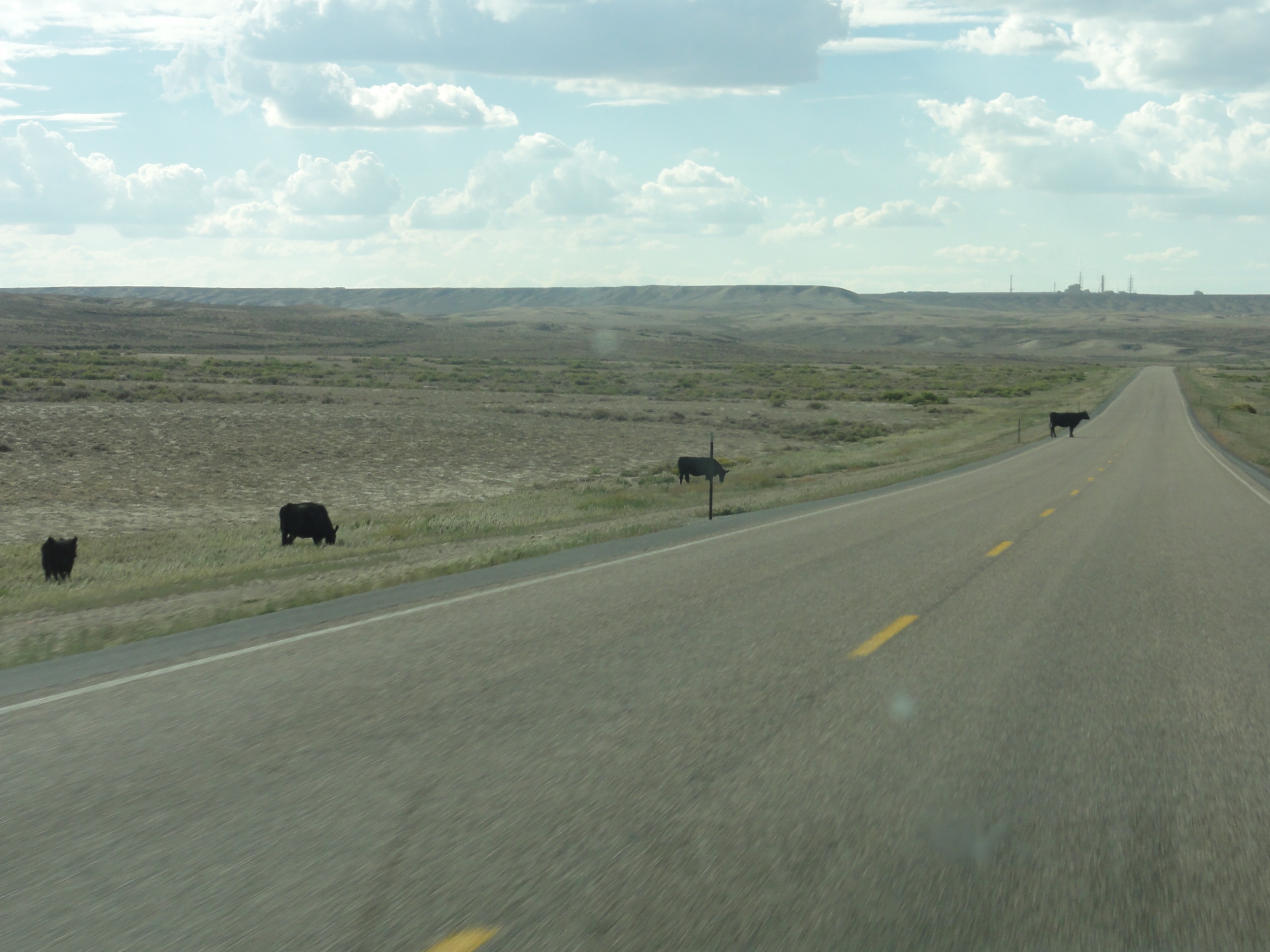
Wel koeien op de weg
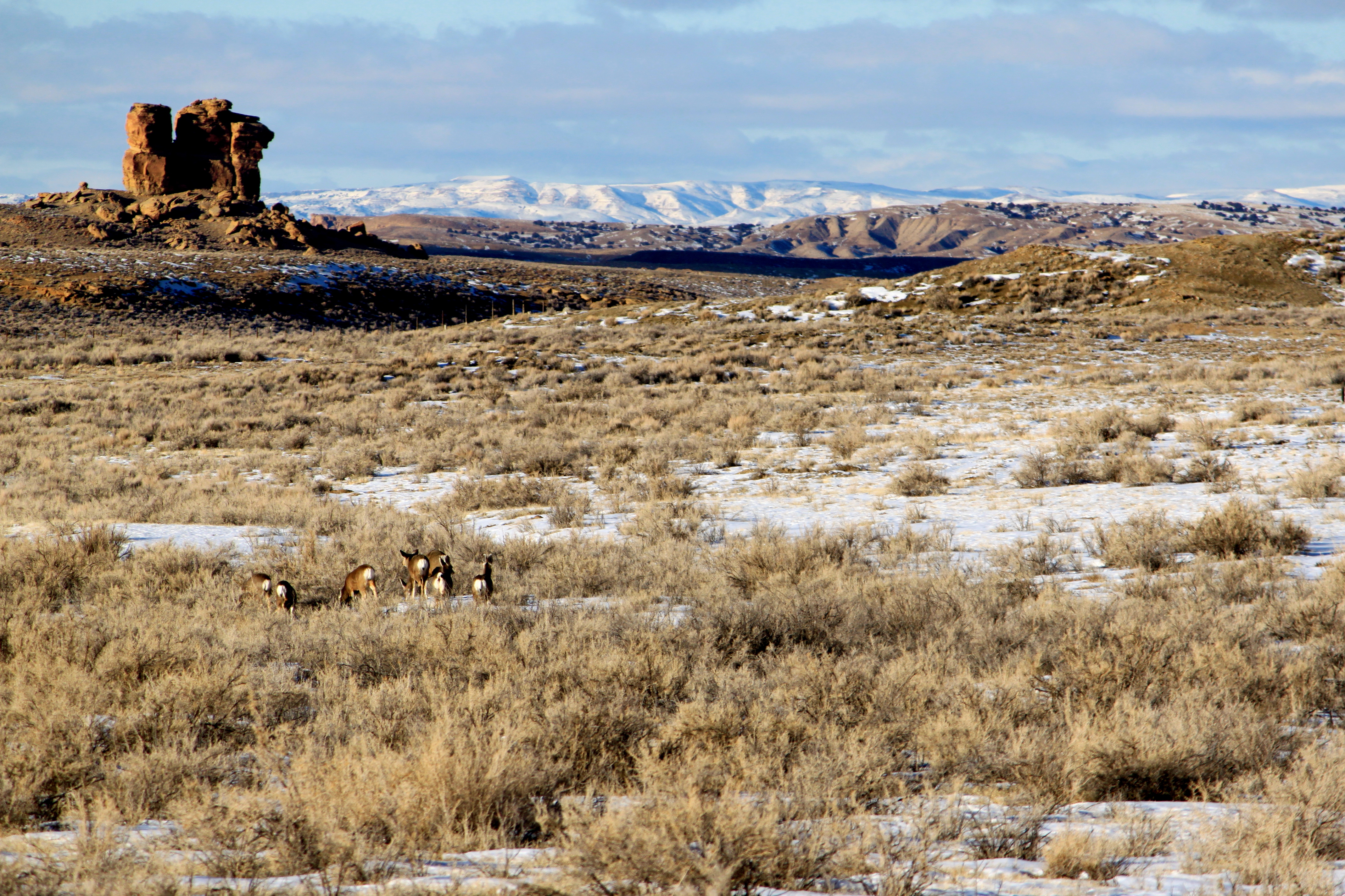
Camel Rock, Deer Dinner
Topographic Map of Rock Springs, WY, USA
Find elevation by address:

Places near Rock Springs, WY, USA:
Pine Butte
9 Spotted Tail Cir, Rock Springs, WY, USA
I-80 Service, Rock Springs, WY, USA
Rock Springs
1021 Lee St
1506 9th St
1103 Pilot Butte Ave
712 N St
Hill St, Rock Springs, WY, USA
Dewar Drive
1049 Elm Way
861 Burr Dr
2636 Commercial Way
207 Polk St
3103 Sandy Rd
South, Reliance, WY, USA
Plainview Dr, Rock Springs, WY, USA
1130 Rockies Cir
Sweetwater Events Complex
2040 E Teton Blvd
Recent Searches:
- Elevation of Corso Fratelli Cairoli, 35, Macerata MC, Italy
- Elevation of Tallevast Rd, Sarasota, FL, USA
- Elevation of 4th St E, Sonoma, CA, USA
- Elevation of Black Hollow Rd, Pennsdale, PA, USA
- Elevation of Oakland Ave, Williamsport, PA, USA
- Elevation of Pedrógão Grande, Portugal
- Elevation of Klee Dr, Martinsburg, WV, USA
- Elevation of Via Roma, Pieranica CR, Italy
- Elevation of Tavkvetili Mountain, Georgia
- Elevation of Hartfords Bluff Cir, Mt Pleasant, SC, USA