Elevation of I-80 Service, Rock Springs, WY, USA
Location: United States > Wyoming > Rock Springs >
Longitude: -108.98750
Latitude: 41.656846
Elevation: 1942m / 6371feet
Barometric Pressure: 80KPa
Elevation Map:
Satellite Map:
Related Photos:

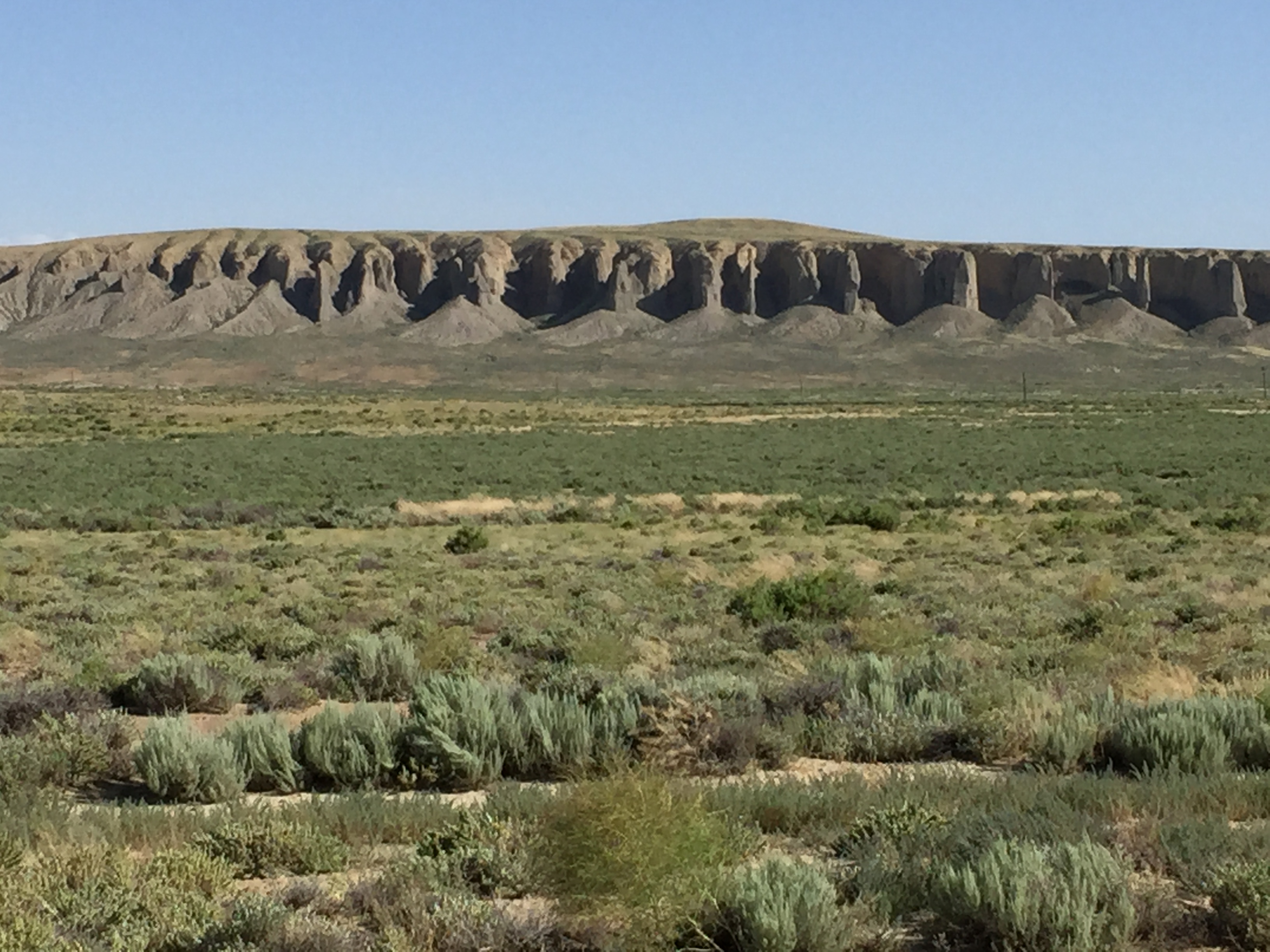
Pilot Butte, viewed from the outskirts of Superior.
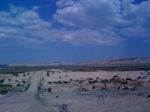
east of Rock Springs, Wyoming
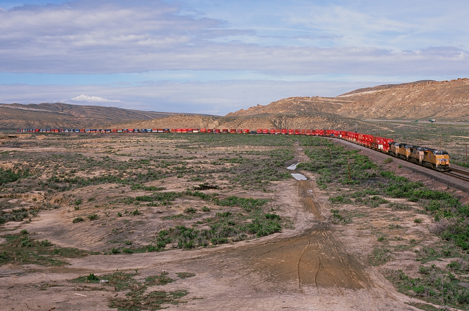
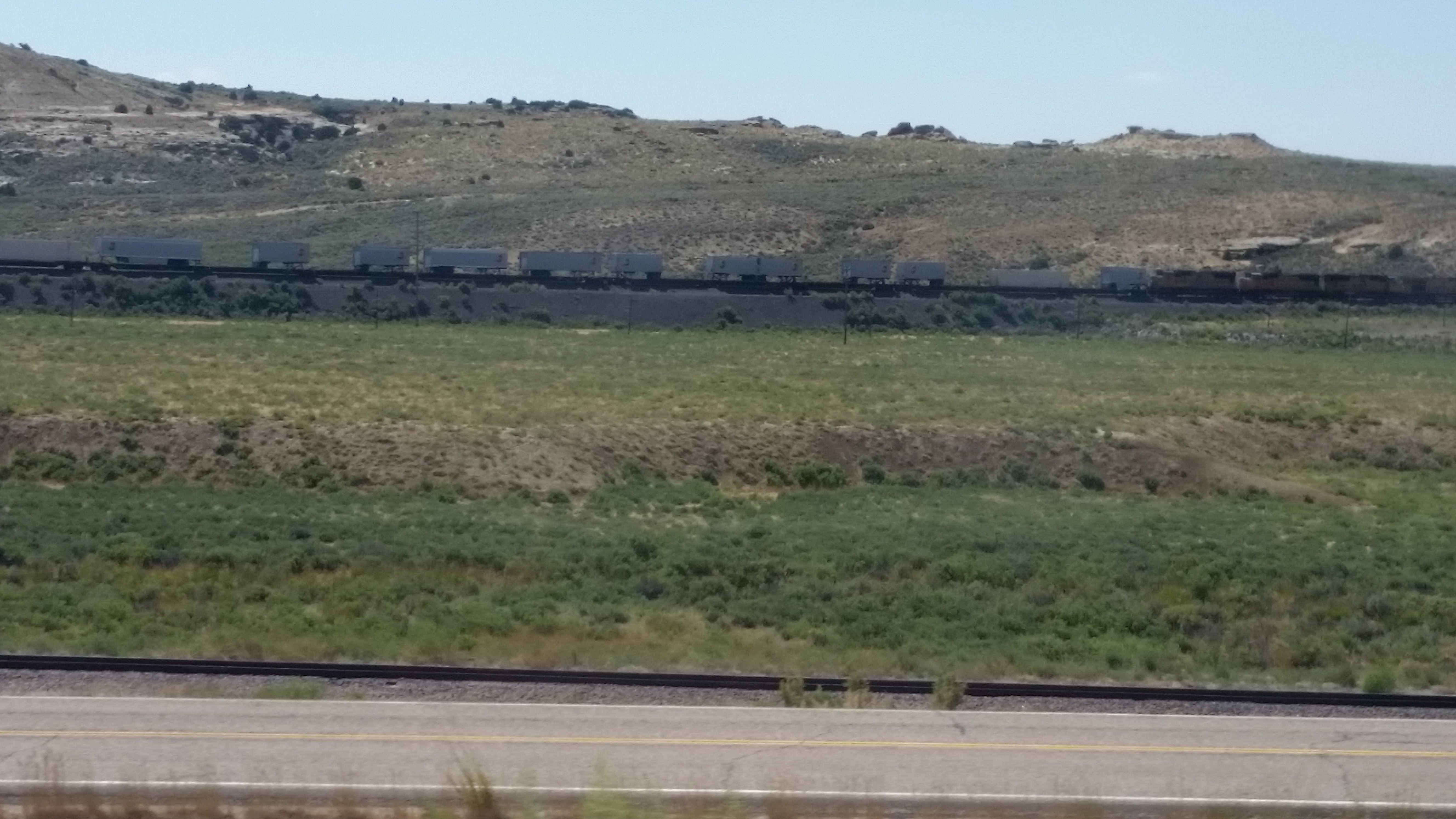
UP 7927 Eastbound
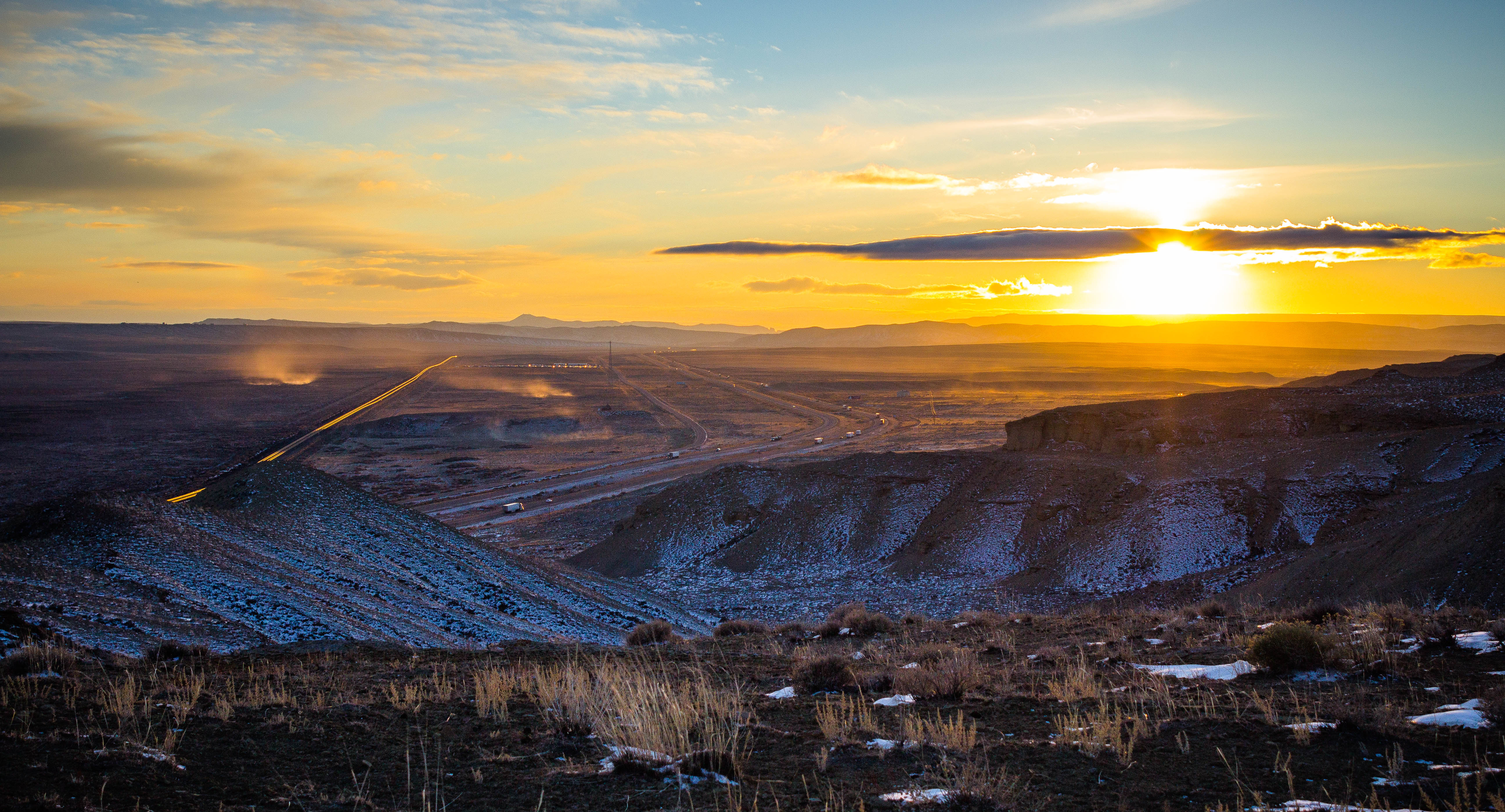
Dust across horizon at sunset
New Orleans 2015
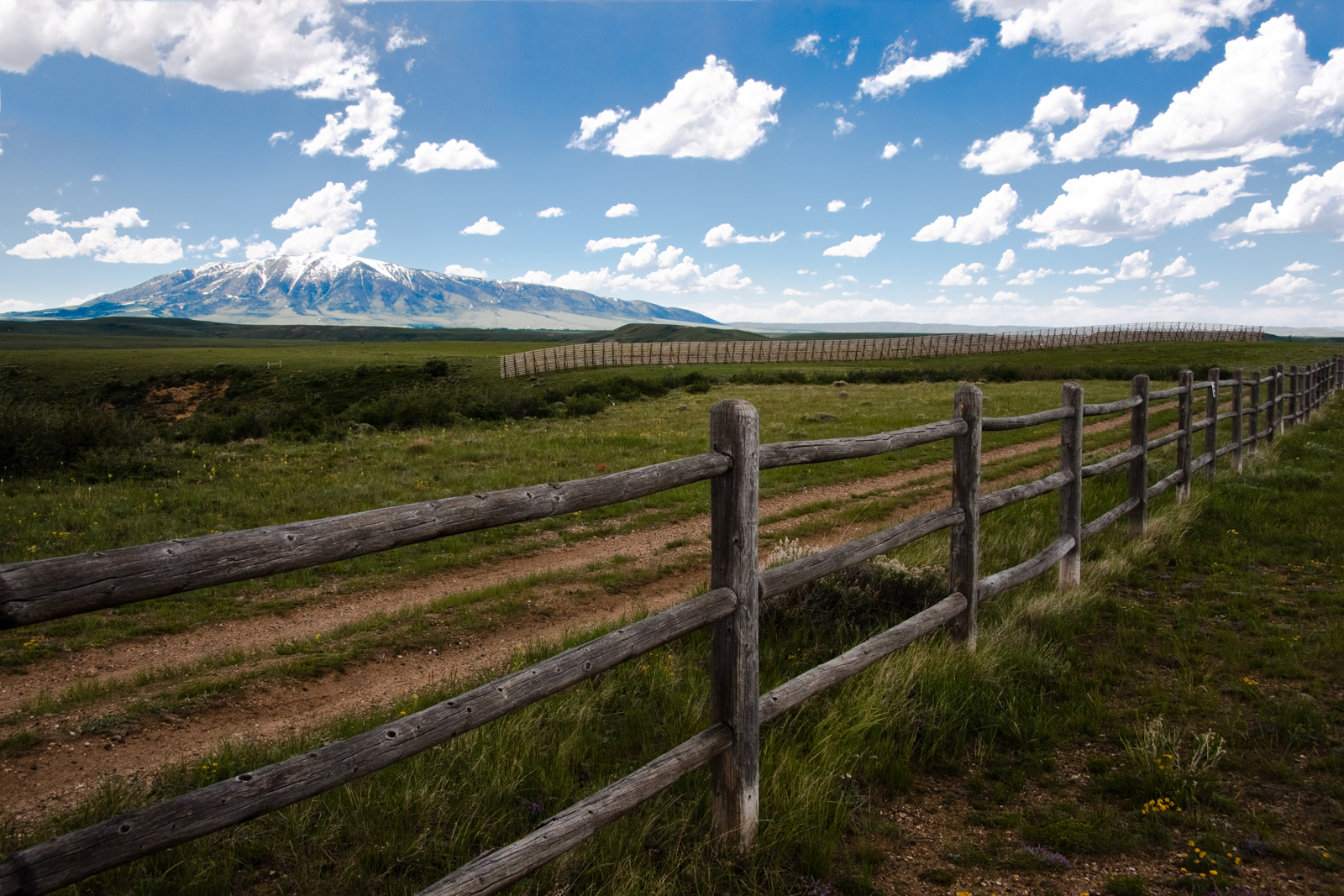
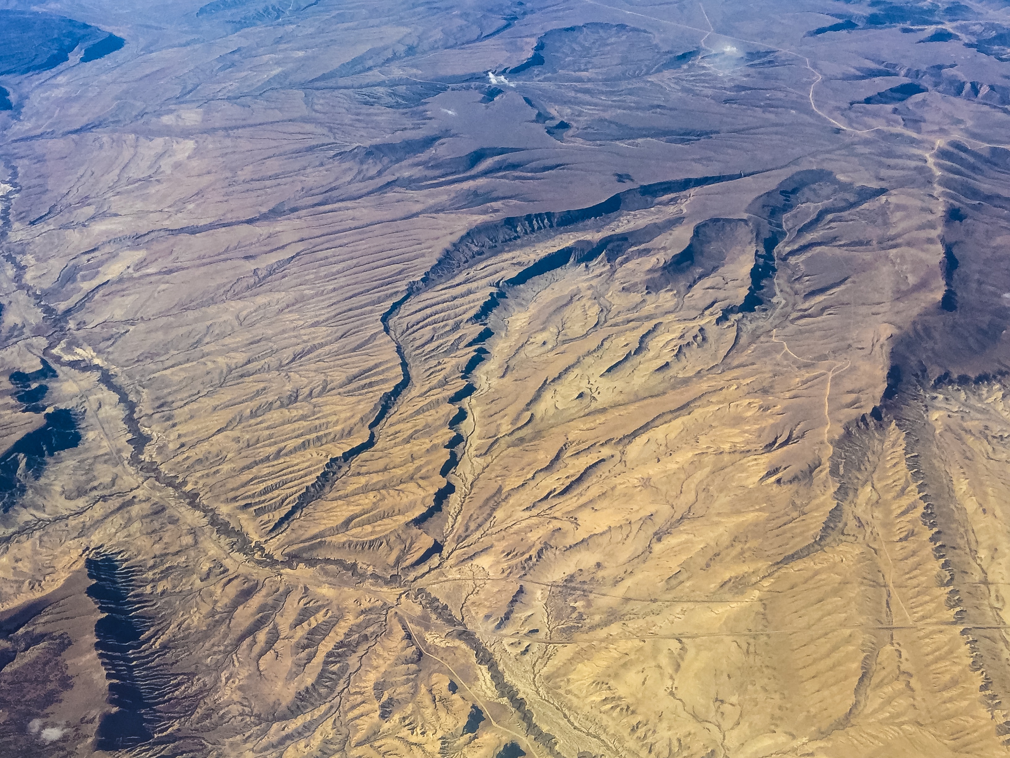
Wyoming Expanse
Tracks at Salt Wells
Sky at Salt Wells
Wyoming Skies
Wyoming Skies
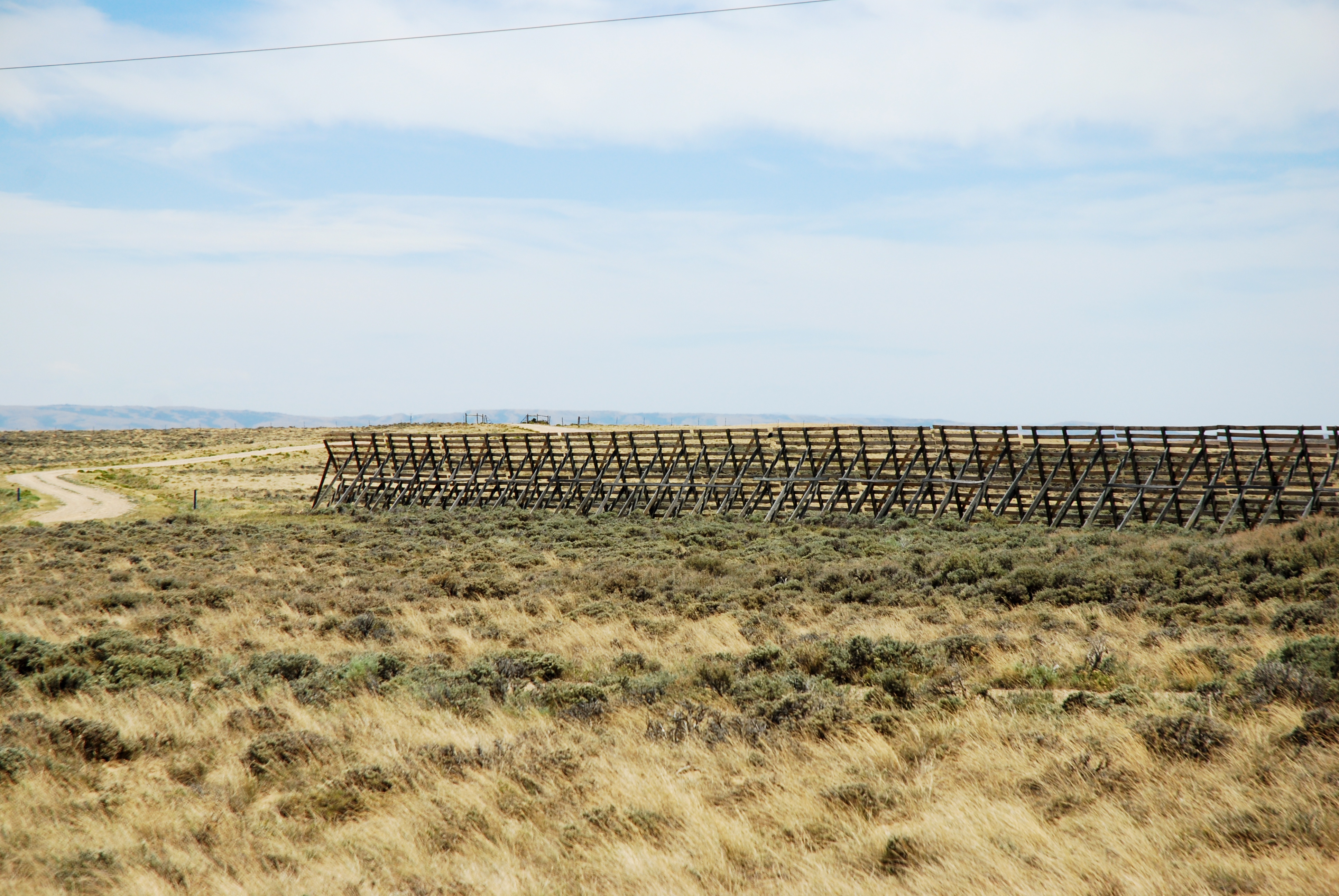
Snow Drift baricades

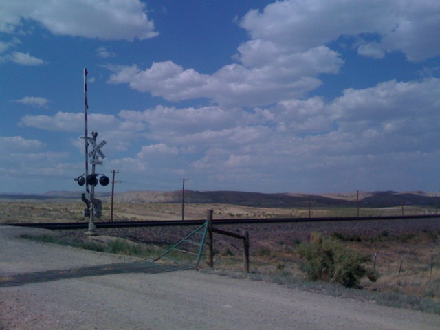
Near Point of Rocks, Wyoming

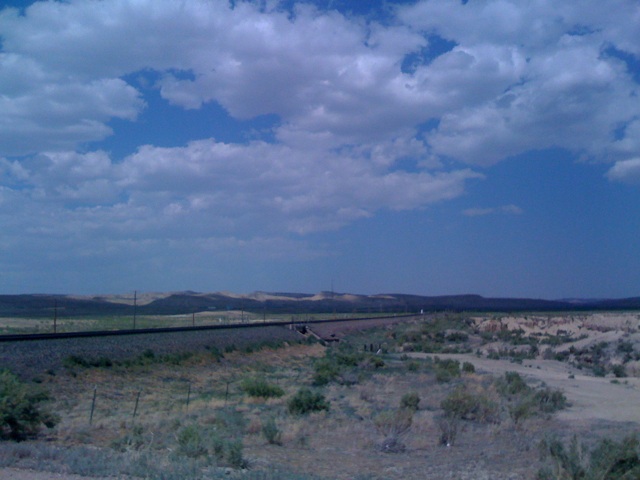
Near Point of Rocks, Wyoming

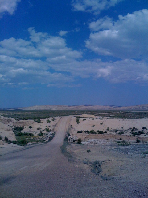
Near Point of Rocks, Wyoming

Near Point of Rocks, Wyoming

Near Point of Rocks, Wyoming

Near Point of Rocks, Wyoming
Highballing Across Wyoming
Wide Open Spaces

Near Point of Rocks, Wyoming

Near Point of Rocks, Wyoming
Topographic Map of I-80 Service, Rock Springs, WY, USA
Find elevation by address:

Places near I-80 Service, Rock Springs, WY, USA:
Hill St, Rock Springs, WY, USA
South, Reliance, WY, USA
9 Spotted Tail Cir, Rock Springs, WY, USA
Rock Springs
1506 9th St
1021 Lee St
1103 Pilot Butte Ave
712 N St
1049 Elm Way
Sweetwater Events Complex
1130 Rockies Cir
861 Burr Dr
207 Polk St
3103 Sandy Rd
Dewar Drive
2636 Commercial Way
Sweetwater County
Plainview Dr, Rock Springs, WY, USA
Rock Springs, WY, USA
Boars Tusk
Recent Searches:
- Elevation of Corso Fratelli Cairoli, 35, Macerata MC, Italy
- Elevation of Tallevast Rd, Sarasota, FL, USA
- Elevation of 4th St E, Sonoma, CA, USA
- Elevation of Black Hollow Rd, Pennsdale, PA, USA
- Elevation of Oakland Ave, Williamsport, PA, USA
- Elevation of Pedrógão Grande, Portugal
- Elevation of Klee Dr, Martinsburg, WV, USA
- Elevation of Via Roma, Pieranica CR, Italy
- Elevation of Tavkvetili Mountain, Georgia
- Elevation of Hartfords Bluff Cir, Mt Pleasant, SC, USA