Elevation of Duncan Springs Rd, Hopland, CA, USA
Location: United States > California > Mendocino County > Hopland >
Longitude: -123.12259
Latitude: 38.951786
Elevation: 234m / 768feet
Barometric Pressure: 99KPa
Elevation Map:
Satellite Map:
Related Photos:
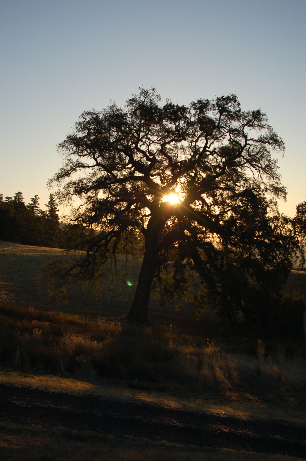
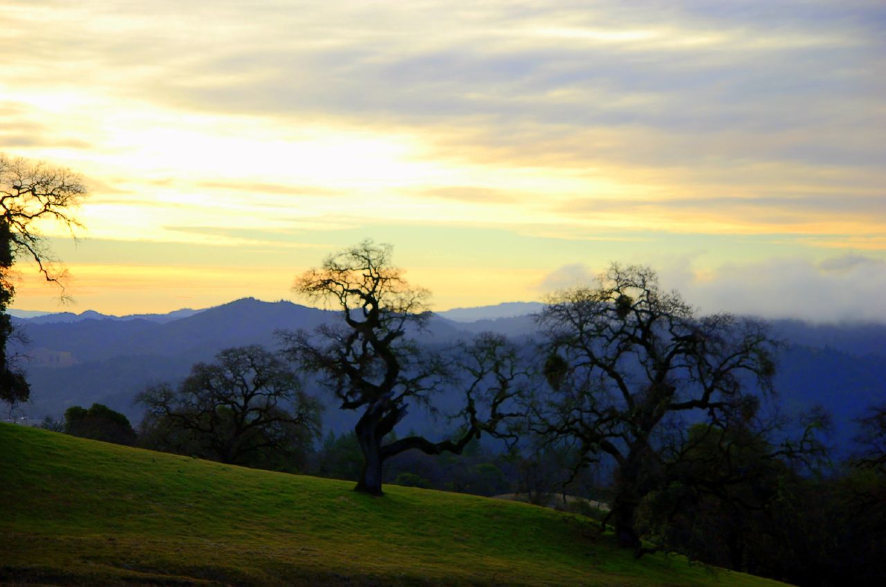
Old tree at sunrise

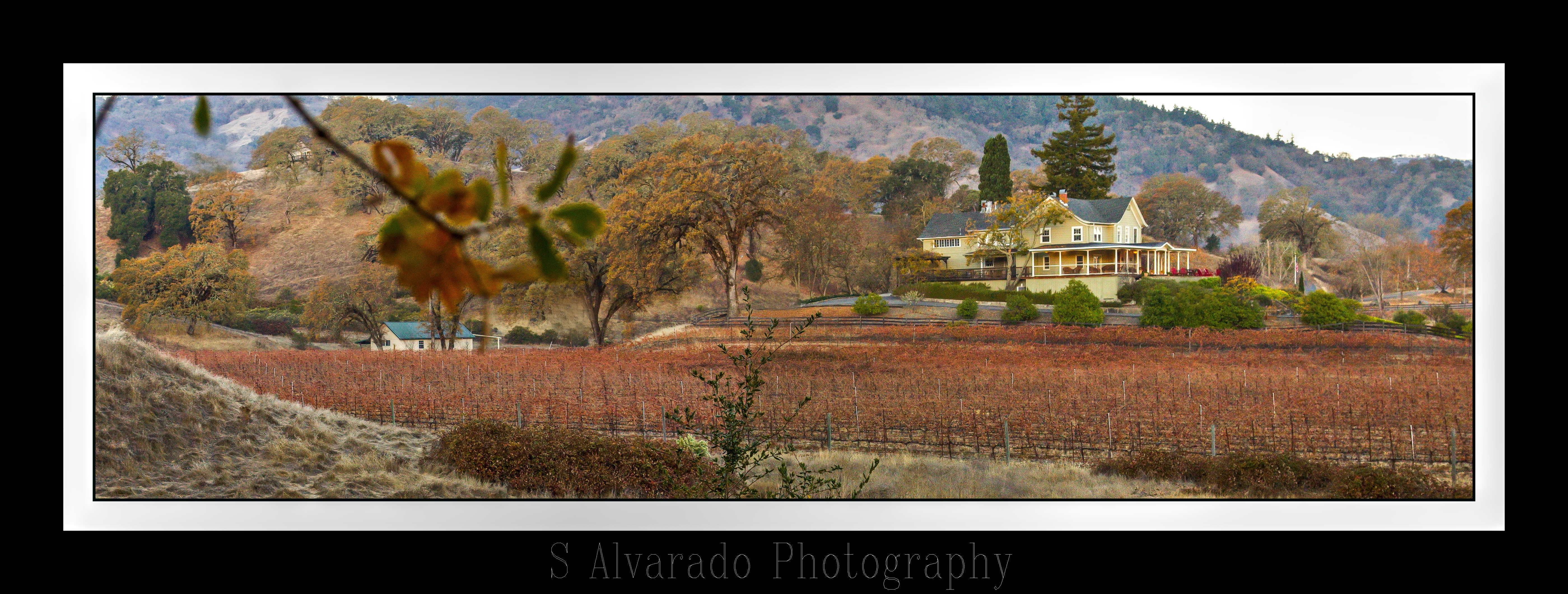
Ranch house from above

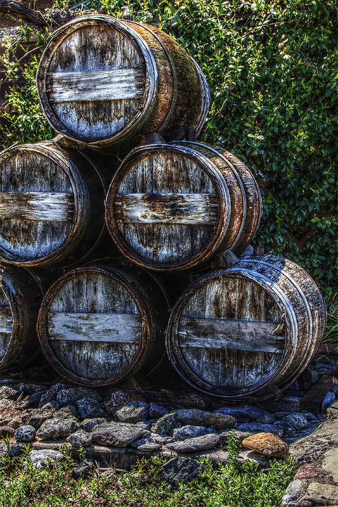
Wine Barrels in HDR
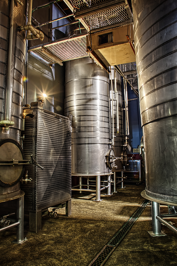
Wine Tanks 1 in HDR
Milano Wine Barrel Fountain in HDR
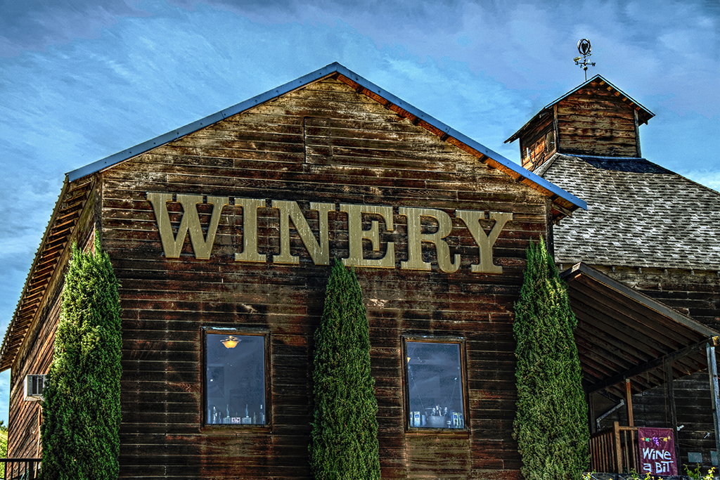
Milano Winery Hopland in HDR

Wine Country Barn in HDR
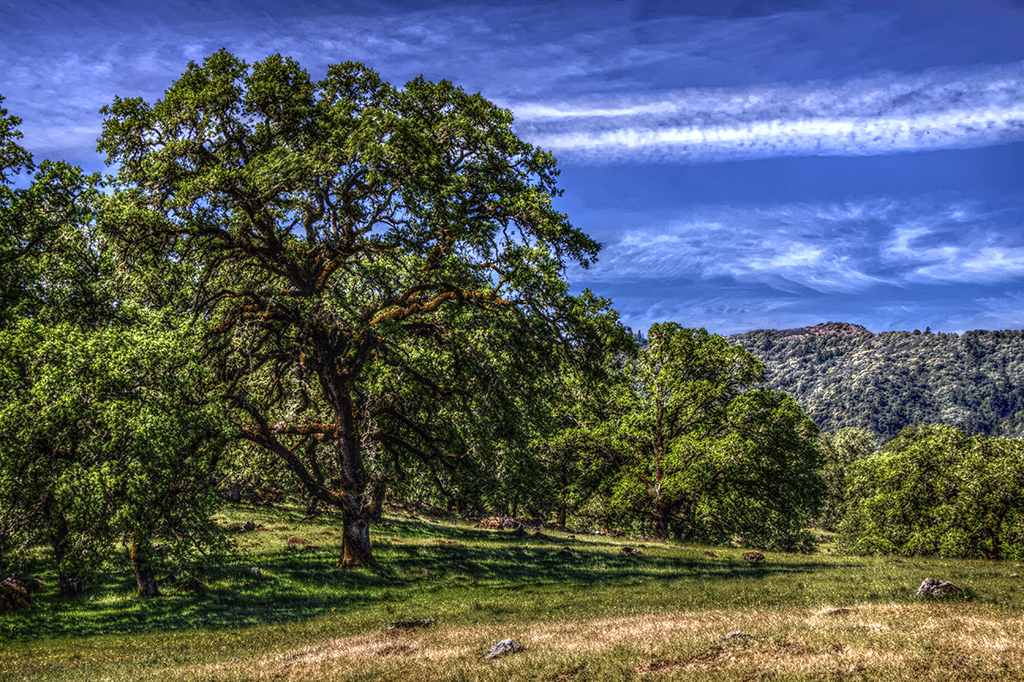
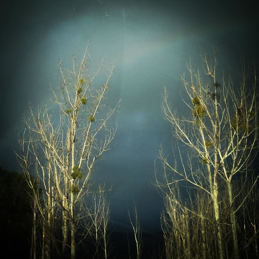
Northern California Tree in HDR
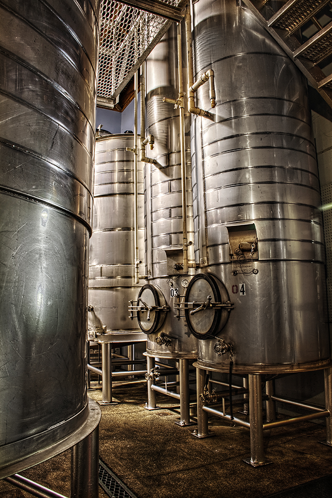
Wine Tanks 2 in HDR
Comminsky Sation Road
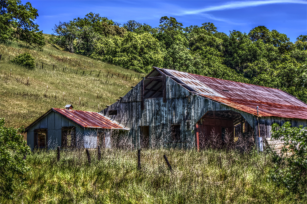
Old Barn in HDR
Comminsky Sation Road
SLC: Far view of the Garden at the SLC
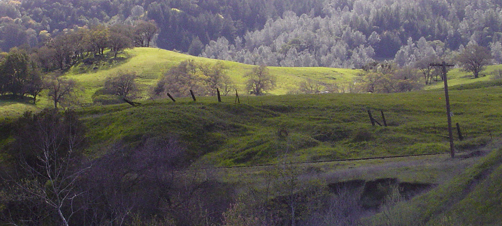
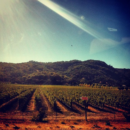
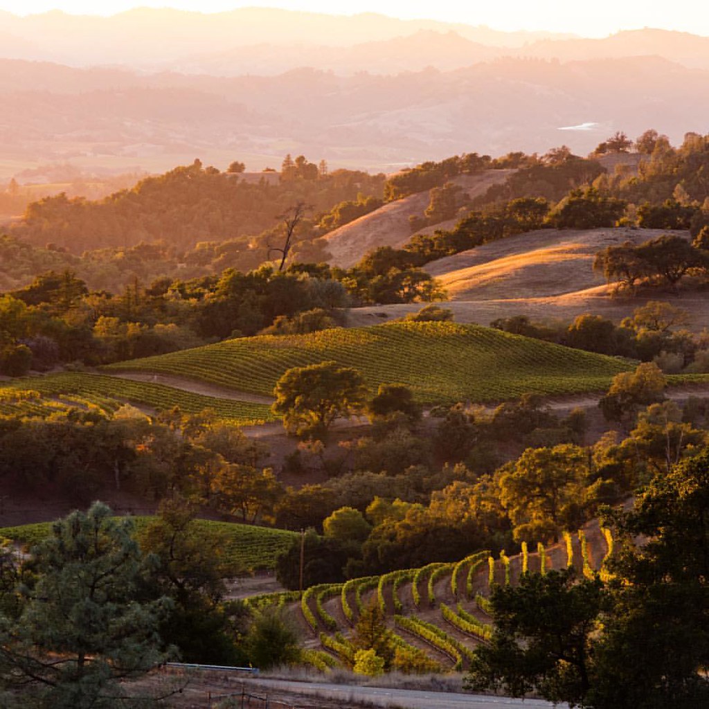
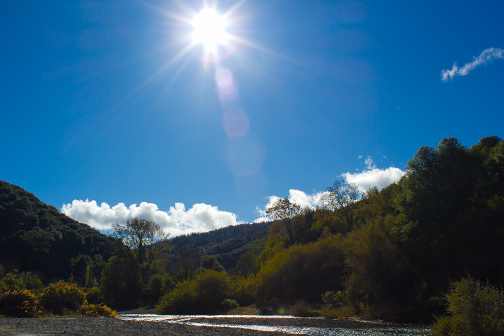
Hopland Valley

View from summit
View of Hills from Jeriko Estate

View of Hills from Jeriko Estate
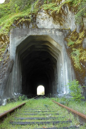
First Tunnel

Russian River Valley Vineyard
Oak trees at Sunrise
Good morning, Hopland
#igwd #instagramwhiledriving

fruit of the vine
"I am lost in a rainbow Now our rainbow is gone"
Life above the Alexander Valley shooting with the great @lorenjroot #wine is life and the greatest of peacemakers. This is the joy. On location for #wineenthusiast #california
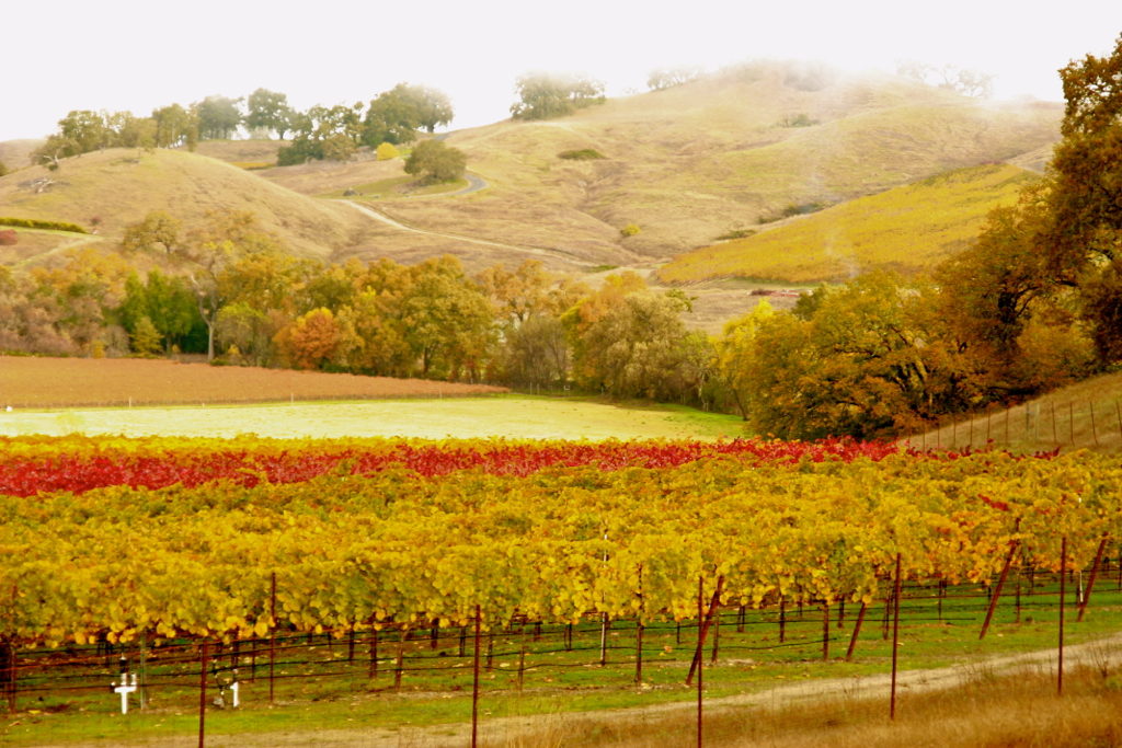
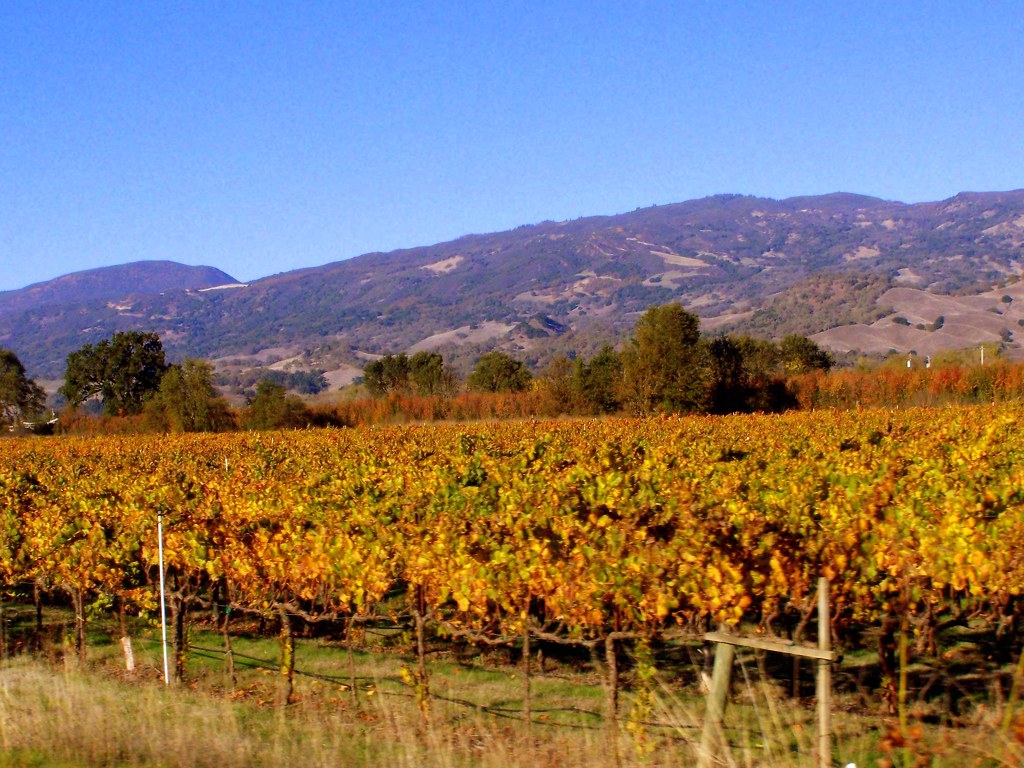
Vineyard in the late Fall
Jaxon Keys Vineyard

Change. #DoLecturesUSA
2012.10.05-08 - San Francisco & Hwy 101
Upper Pieta Creek

ZoneTag Photo Wednesday 13:07:56
Cow mtn

Crane fly
Quiet Sunset
Cow Mountain
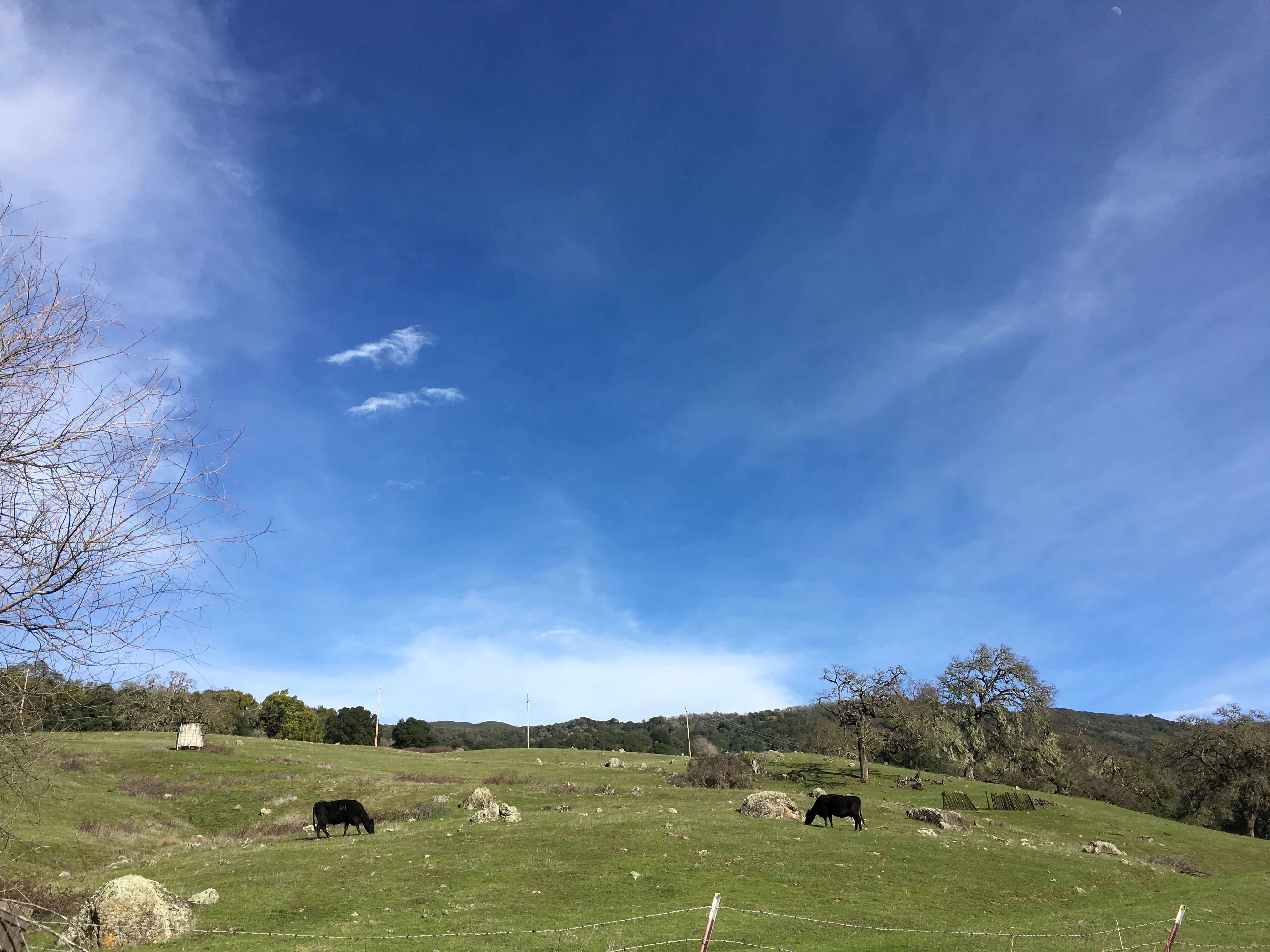
Happy cows
On the road again, Seein' things that I may never see again

Little Man
Topographic Map of Duncan Springs Rd, Hopland, CA, USA
Find elevation by address:

Places near Duncan Springs Rd, Hopland, CA, USA:
1651 Duncan Springs Rd
Hopland
13275 Us-101
1st St, Hopland, CA, USA
Largo Rd, Hopland, CA, USA
US-, Hopland, CA, USA
Nokomis Rd, Hopland, CA, USA
Ingram
11751 Pratt Ranch Rd
CA-, Yorkville, CA, USA
Pregnant Spring
4460 Moose Rd
28710 Ca-128
Yorkville
Fish Rock Rd, Yorkville, CA, USA
Fish Rock Road
Fish Rock Road
Farrer Lane, Boonville, CA, USA
Boonville
Recent Searches:
- Elevation of Corso Fratelli Cairoli, 35, Macerata MC, Italy
- Elevation of Tallevast Rd, Sarasota, FL, USA
- Elevation of 4th St E, Sonoma, CA, USA
- Elevation of Black Hollow Rd, Pennsdale, PA, USA
- Elevation of Oakland Ave, Williamsport, PA, USA
- Elevation of Pedrógão Grande, Portugal
- Elevation of Klee Dr, Martinsburg, WV, USA
- Elevation of Via Roma, Pieranica CR, Italy
- Elevation of Tavkvetili Mountain, Georgia
- Elevation of Hartfords Bluff Cir, Mt Pleasant, SC, USA