Elevation of Dulaney Rd NW, Floyd, VA, USA
Location: United States > Virginia > Floyd County > Indian Valley > Indian Valley >
Longitude: -80.487255
Latitude: 36.954742
Elevation: -10000m / -32808feet
Barometric Pressure: 295KPa
Elevation Map:
Satellite Map:
Related Photos:

The Saint

Jamboree @ The Floyd Country Store

S1050589.png

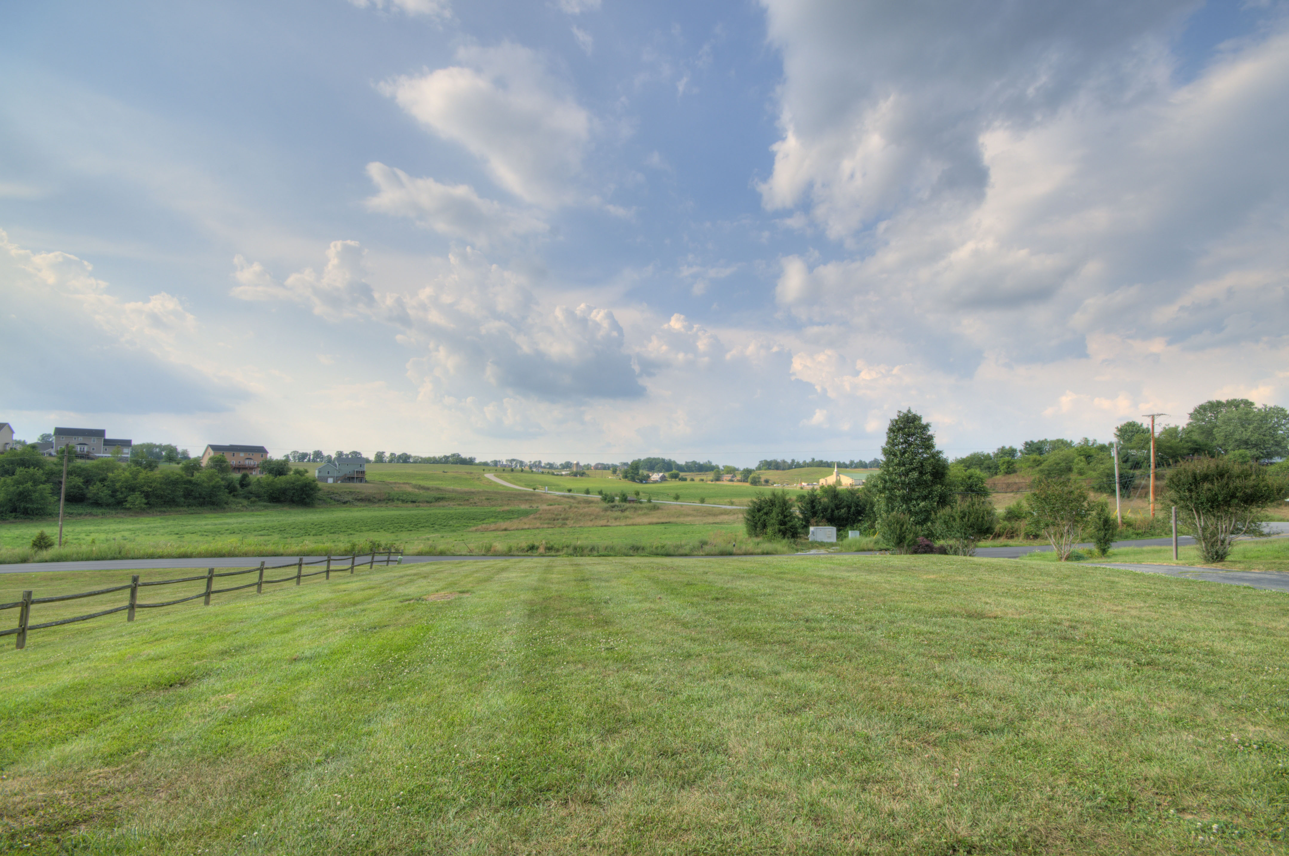
Amazing Views

Deck with Views
Pastoral Views

checking out the view

THE WAY HOME

Rustic Ridge

TREE ON HILL

HAY FIELD
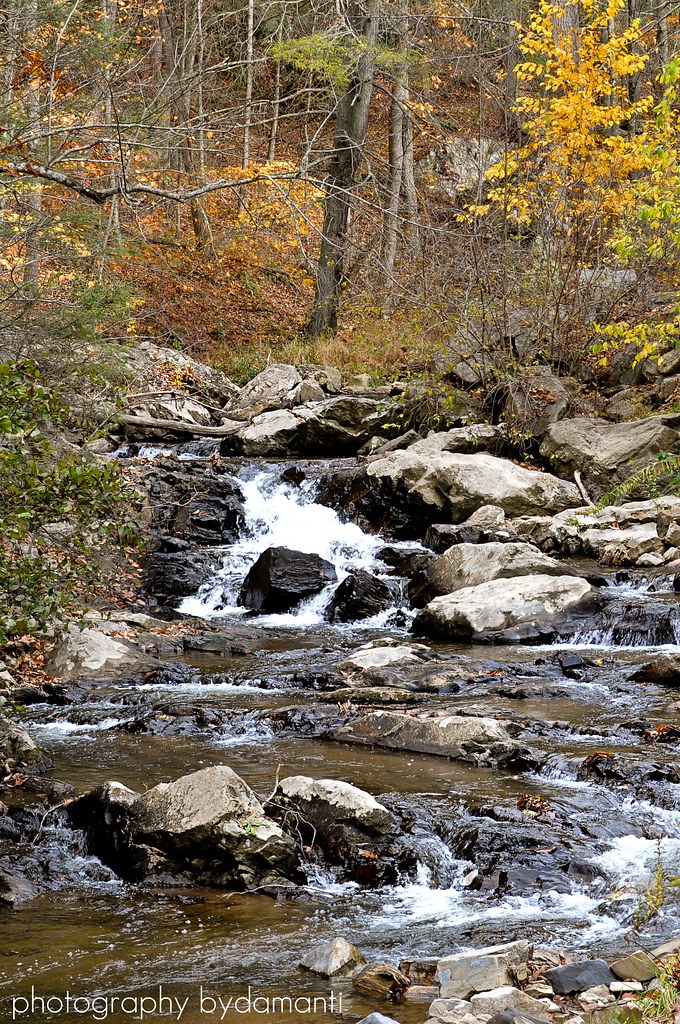
BIG INDIAN CREEK

0808 Coat rack Img_22134

The New River from 395'

Buffalo Mountain

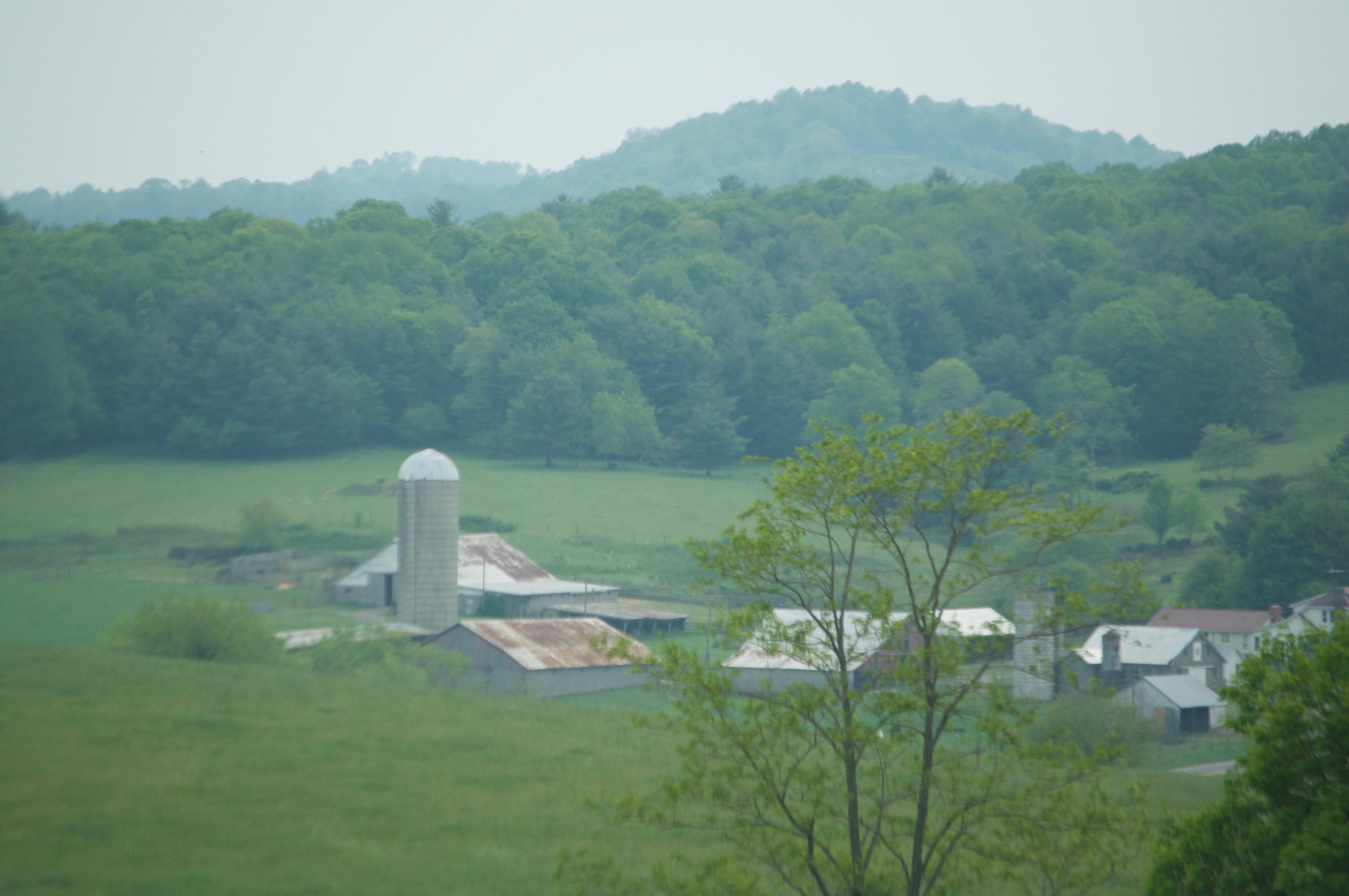
Sinkland Farms

Old slave quarters

Camp Introvert at Antisocial Point

DSC_2049.JPG

Floyd Pike
Floyd Pike
Topographic Map of Dulaney Rd NW, Floyd, VA, USA
Find elevation by address:

Places near Dulaney Rd NW, Floyd, VA, USA:
1410 White Rock Rd Nw
350 Mill Rd Nw
Reed Hill Rd NW, Floyd, VA, USA
475 Loss Bent Rd Nw
3005 Alum Ridge Rd Nw
Alum Ridge Road Northwest
3413 Ridgeview Rd Nw
6571 Chestnut Ridge Rd
319 Mystic Ln Nw
4586 Alum Ridge Rd Nw
1995 Alum Ridge Rd Nw
5900 Chestnut Ridge Rd
398 George Reed Ln Nw
5820 Chestnut Ridge Rd
1022 Dusty Rock Rd Nw
132 High Hopes Ln Nw
355 Sam Reed Rd Nw
Riner, VA, USA
545 Mt Elbert Rd Nw
5390 Piney Woods Rd
Recent Searches:
- Elevation of Corso Fratelli Cairoli, 35, Macerata MC, Italy
- Elevation of Tallevast Rd, Sarasota, FL, USA
- Elevation of 4th St E, Sonoma, CA, USA
- Elevation of Black Hollow Rd, Pennsdale, PA, USA
- Elevation of Oakland Ave, Williamsport, PA, USA
- Elevation of Pedrógão Grande, Portugal
- Elevation of Klee Dr, Martinsburg, WV, USA
- Elevation of Via Roma, Pieranica CR, Italy
- Elevation of Tavkvetili Mountain, Georgia
- Elevation of Hartfords Bluff Cir, Mt Pleasant, SC, USA