Elevation of Indian Valley, VA, USA
Location: United States > Virginia > Floyd County >
Longitude: -80.521618
Latitude: 36.9395661
Elevation: 714m / 2343feet
Barometric Pressure: 93KPa
Elevation Map:
Satellite Map:
Related Photos:

The Farm

View at mom's driveway
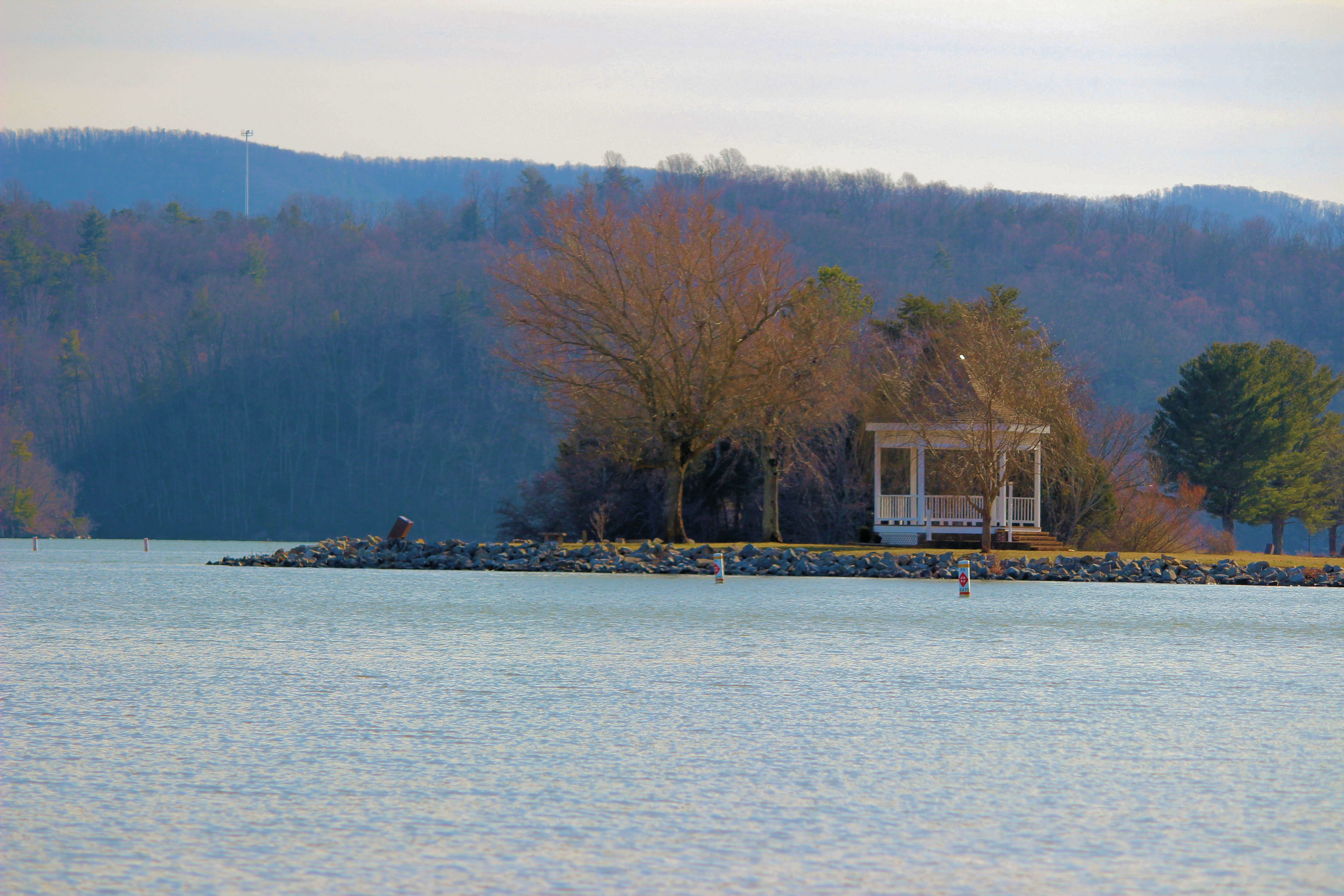
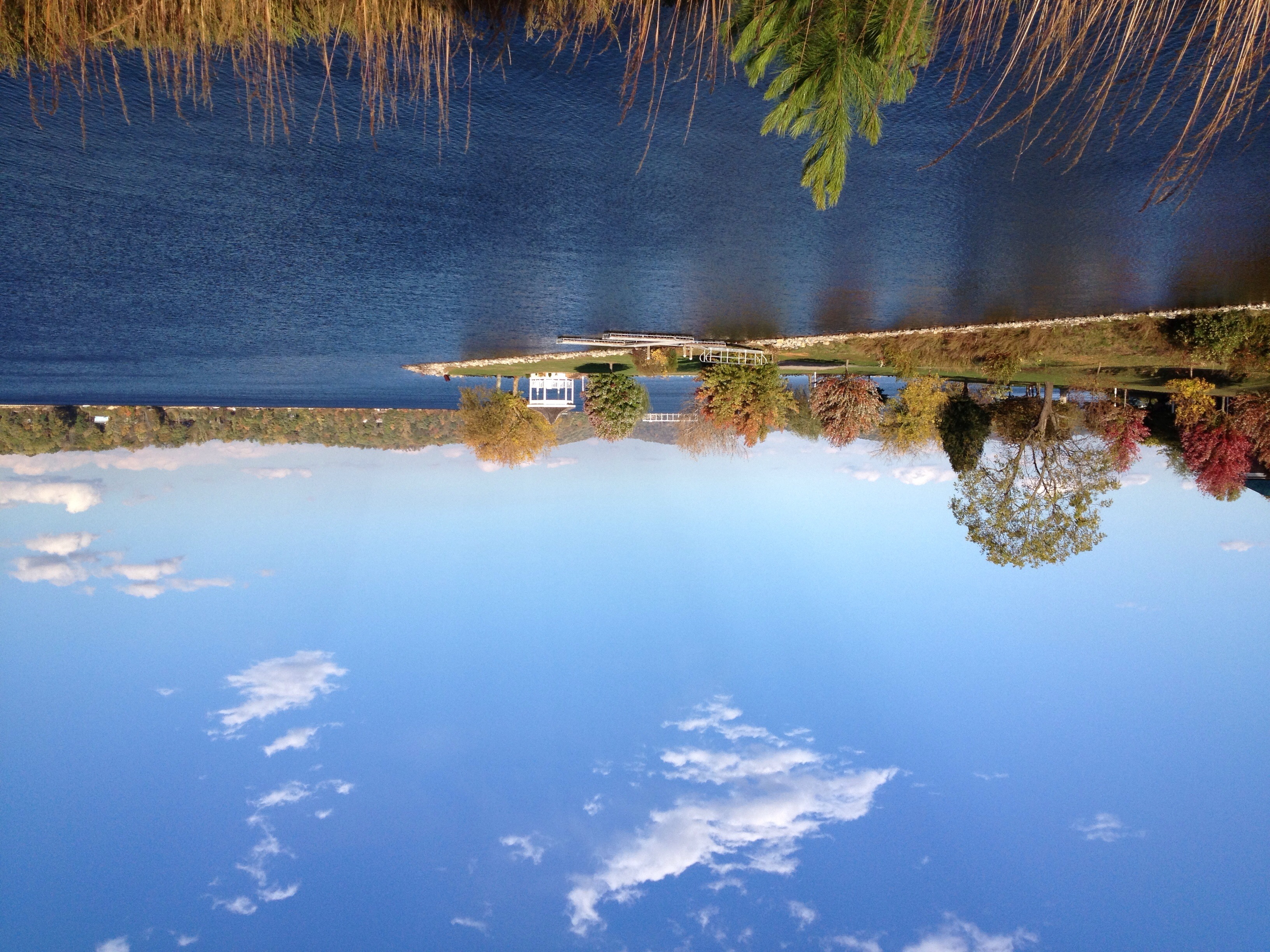
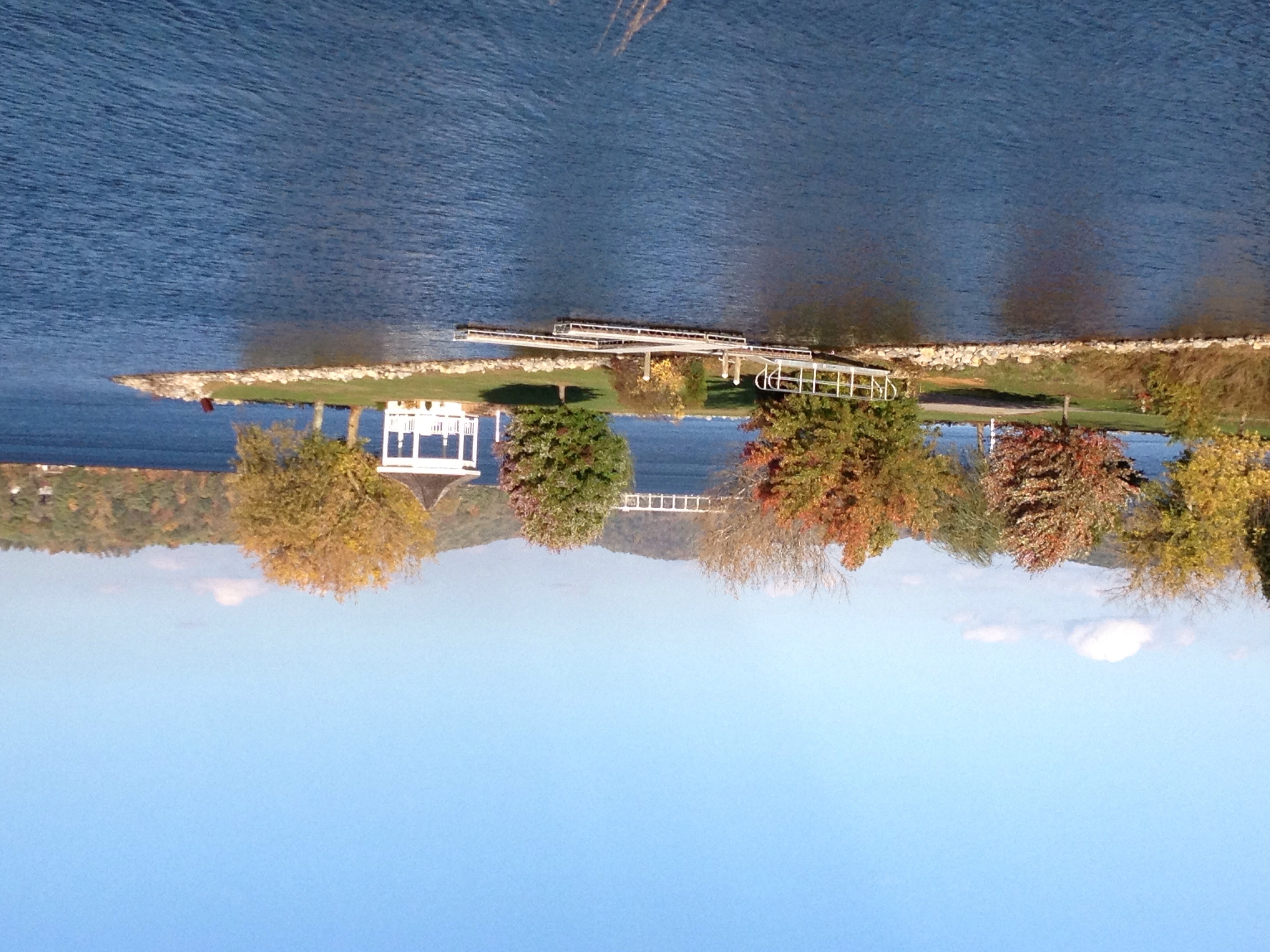
Claytor Lake Gazebo
2013 001

2013 004
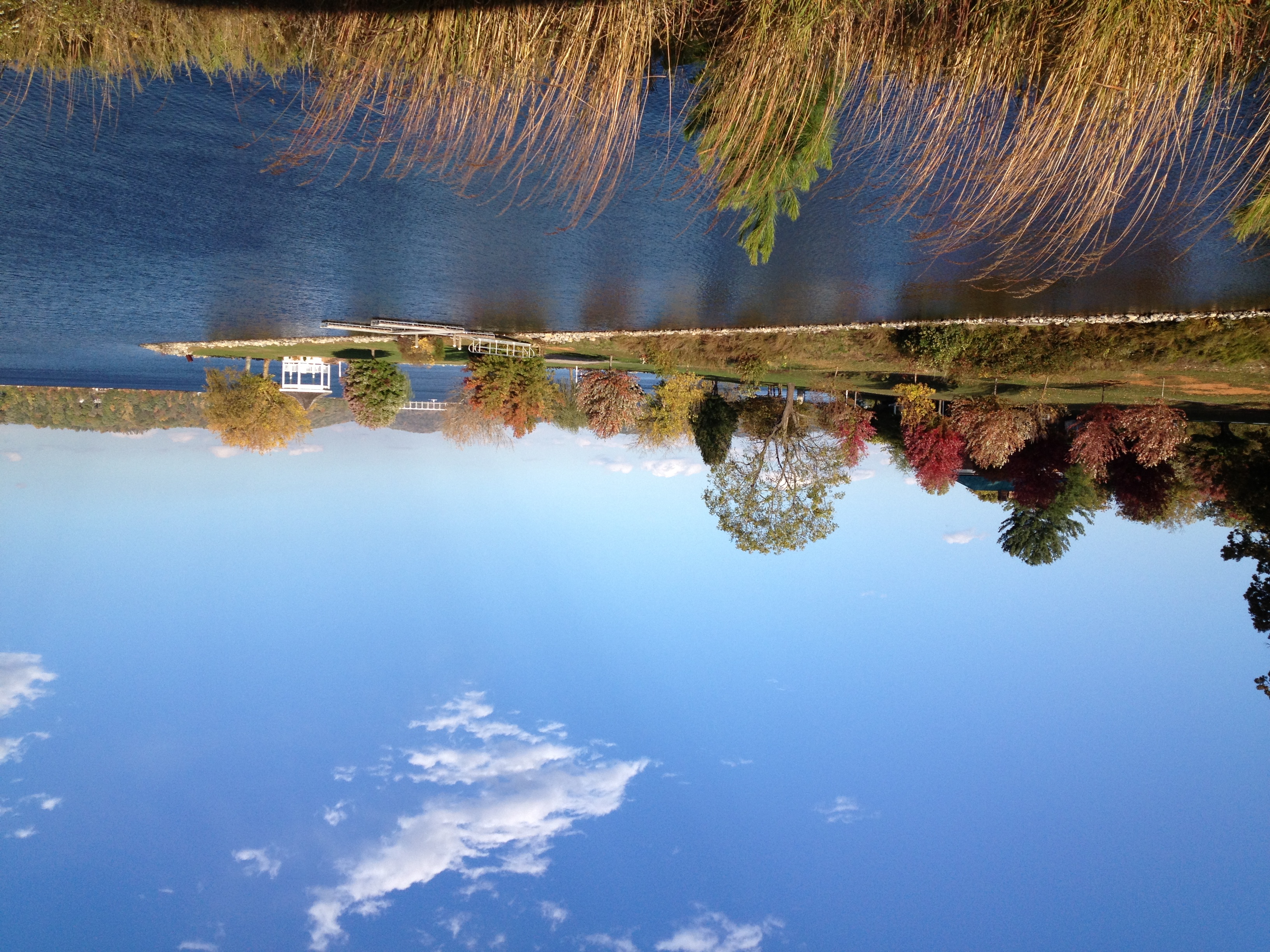
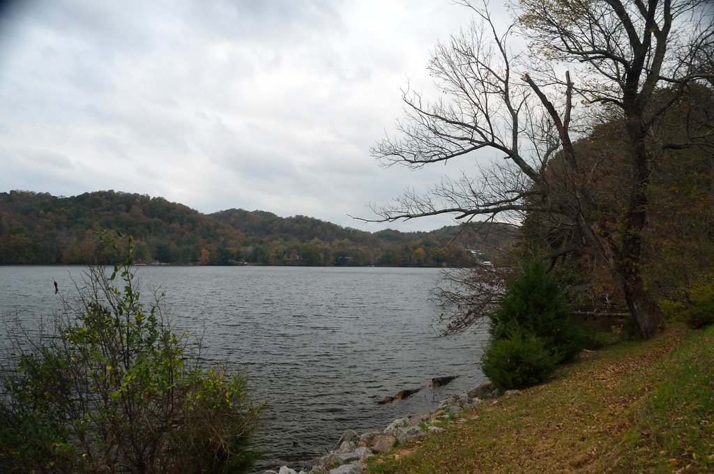
Claytor Lake
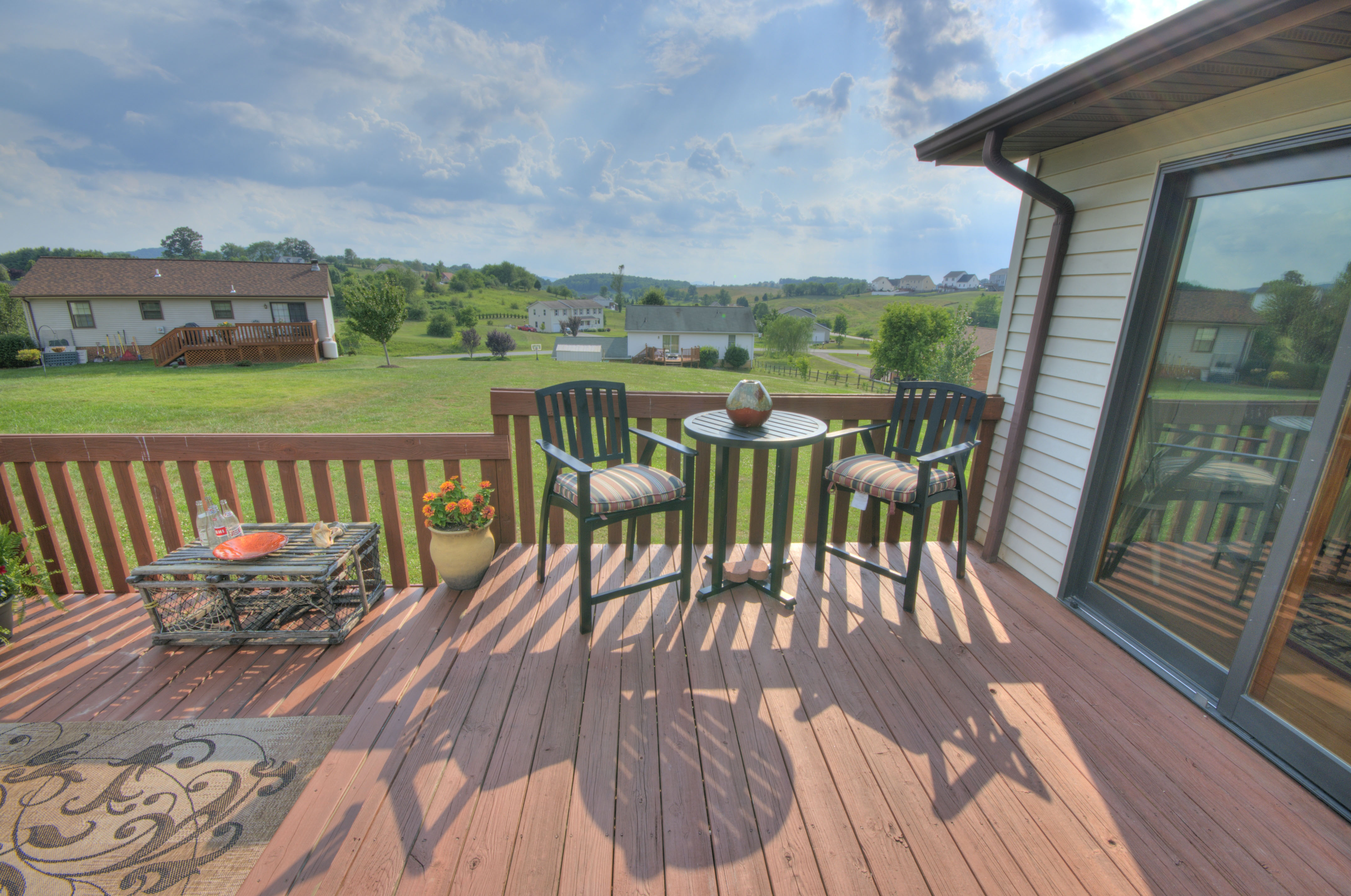
Deck with Views
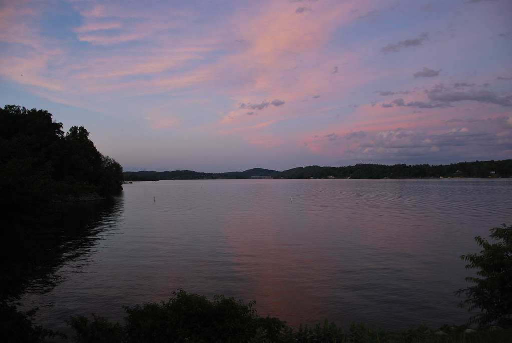
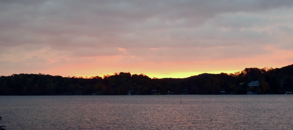
Claytor Lake
CL summer 2013
Claytor Lake
CL summer 2013
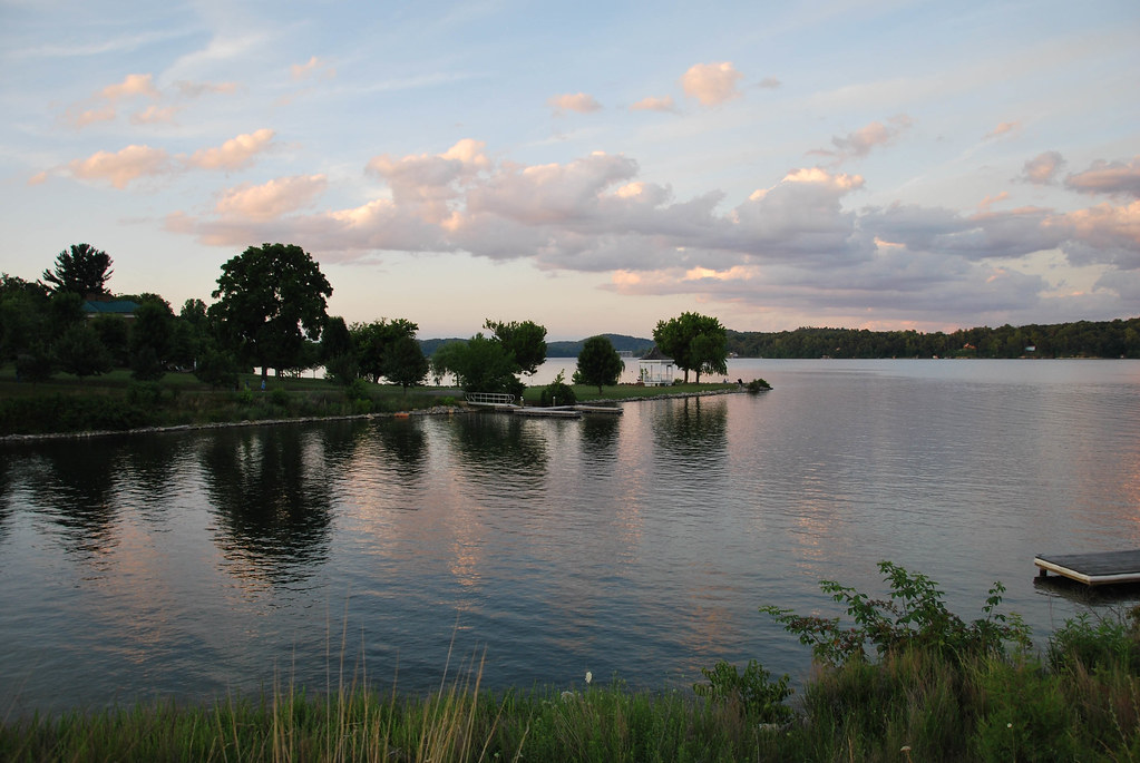
Claytor Lake
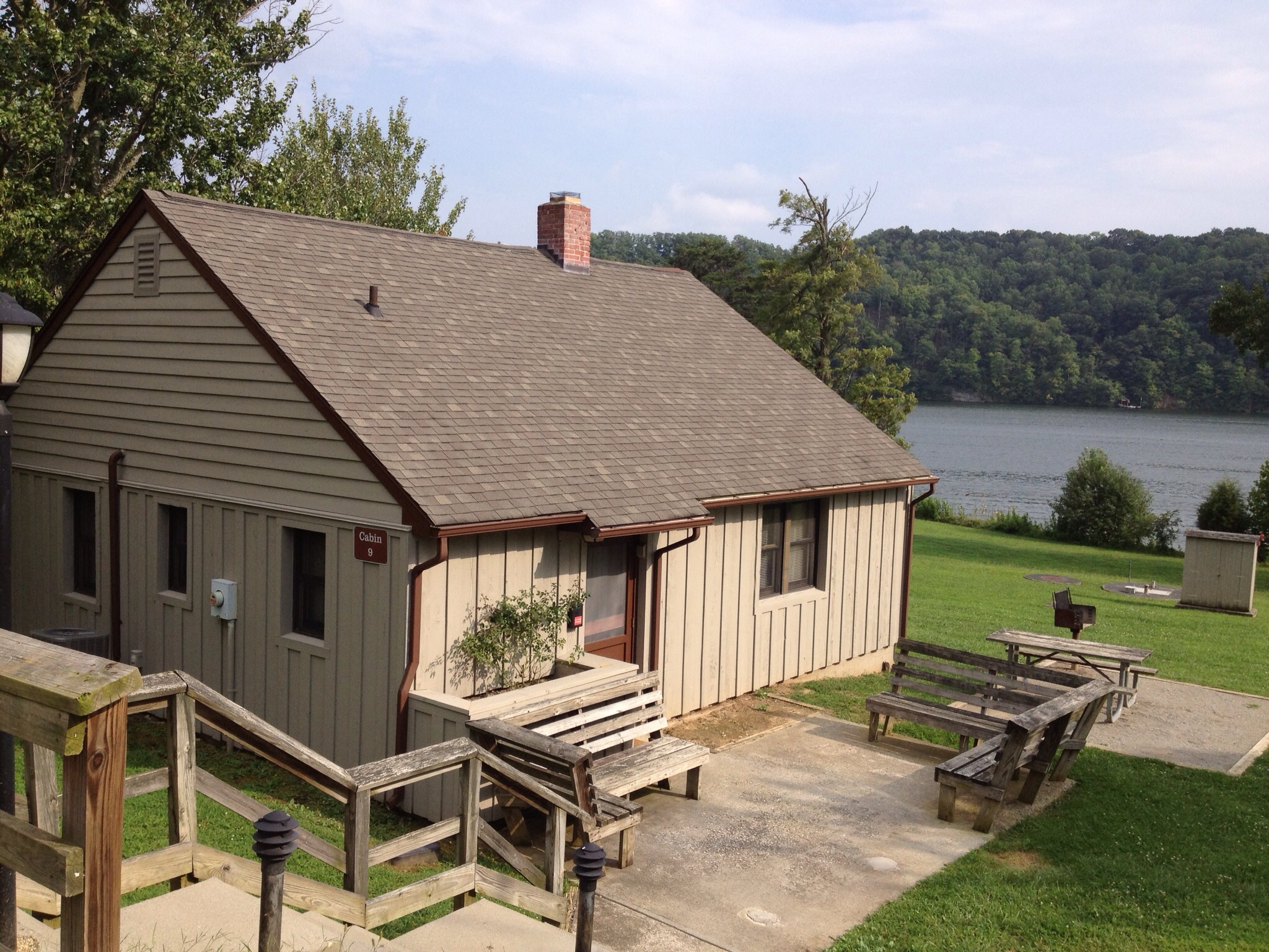
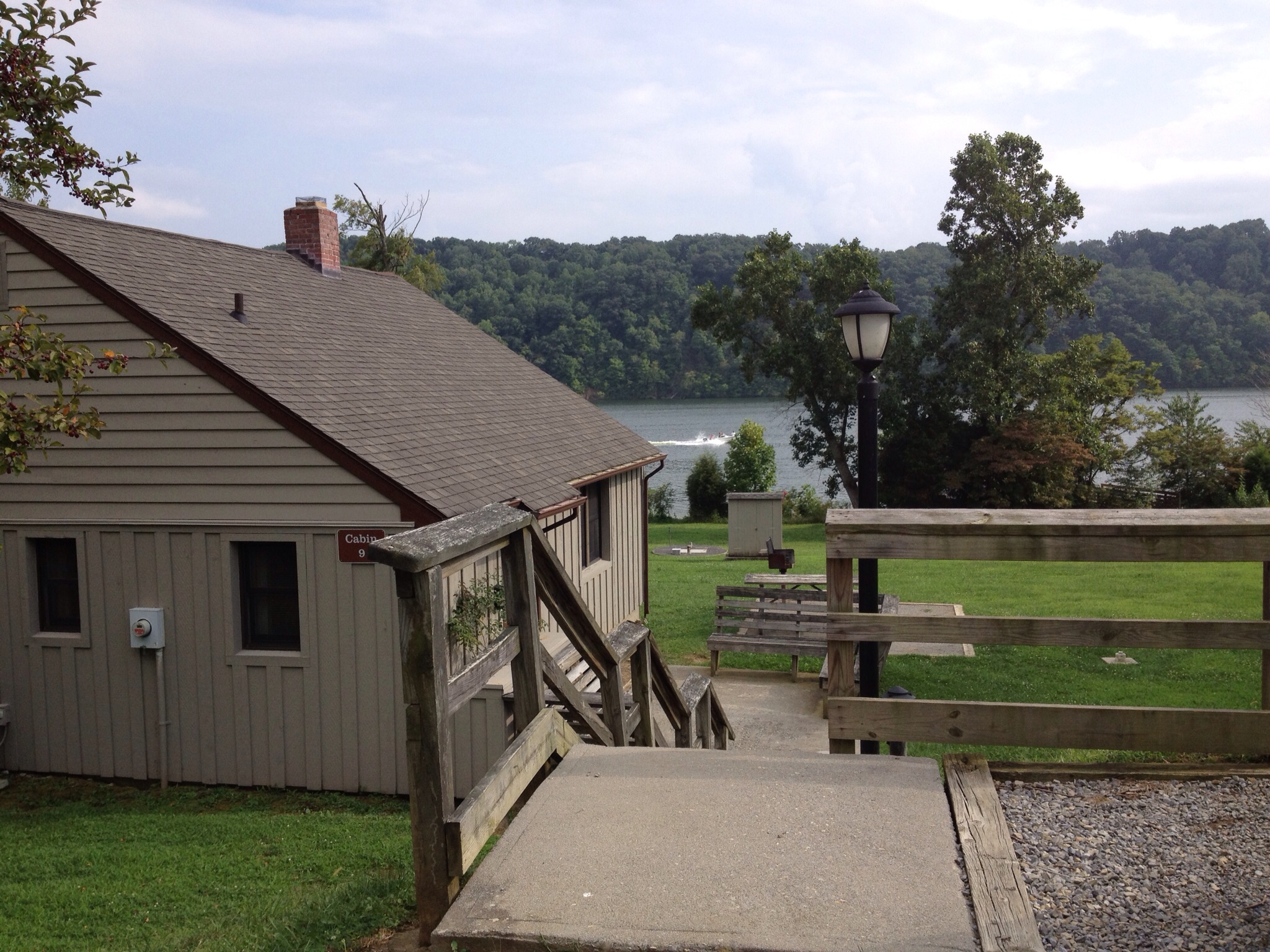
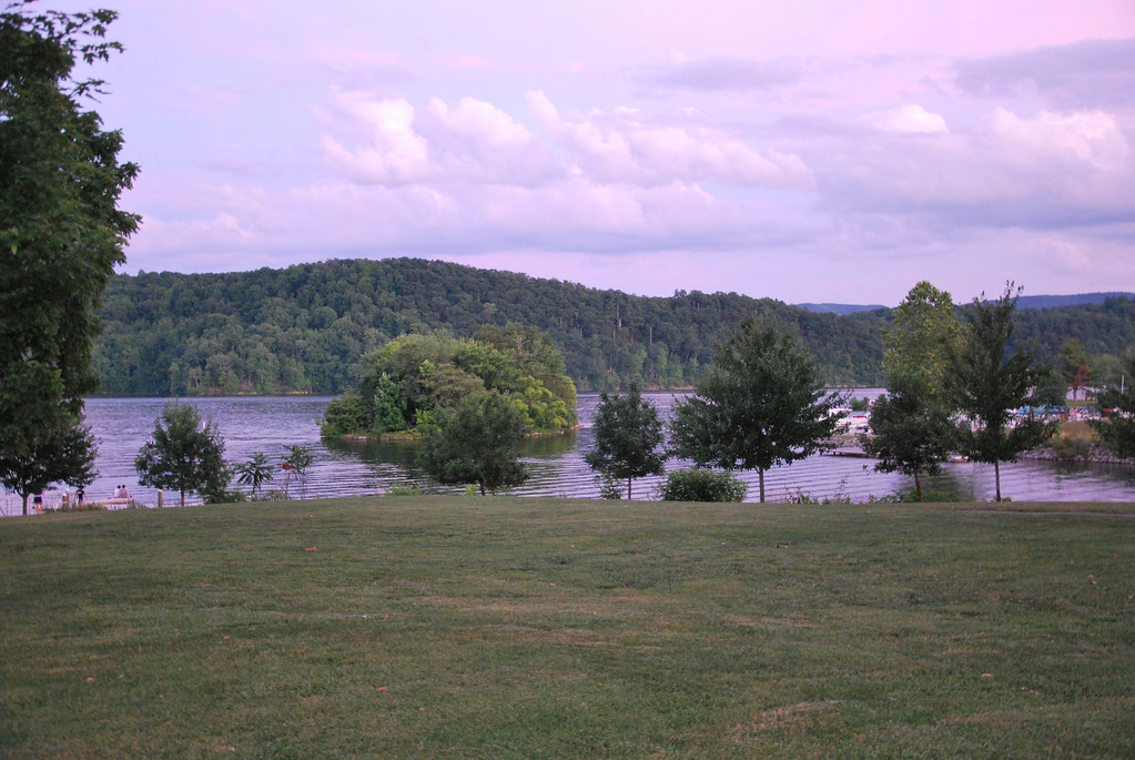
Claytor Lake State Park

Claytor Lake State Park
Claytor Lake State Park

Claytor Lake State Park
Claytor Lake State Park

Pastoral Views
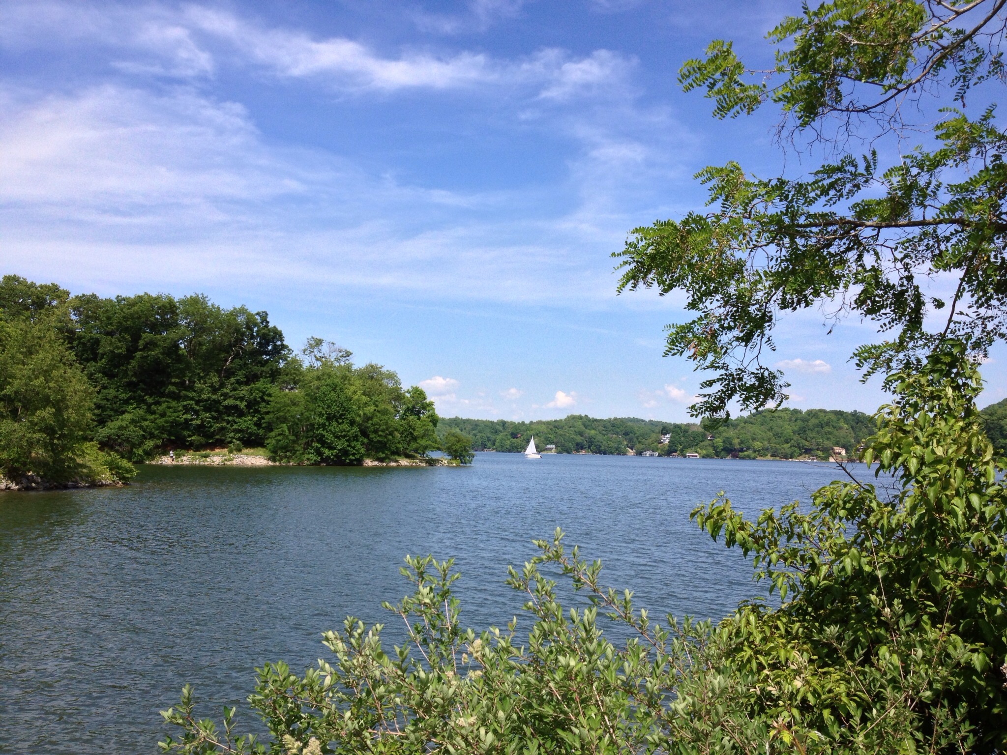
Claytor Lake
Claytor Lake State Park
Rustic Ridge
HAY FIELD

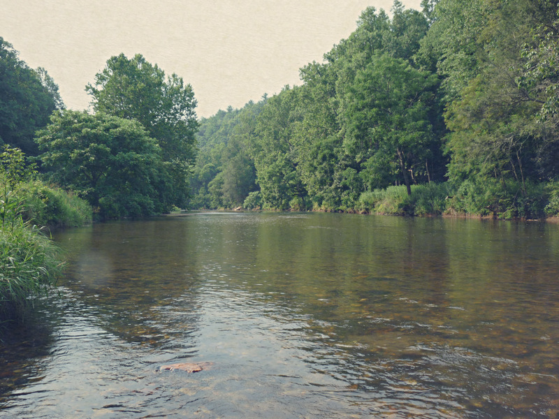
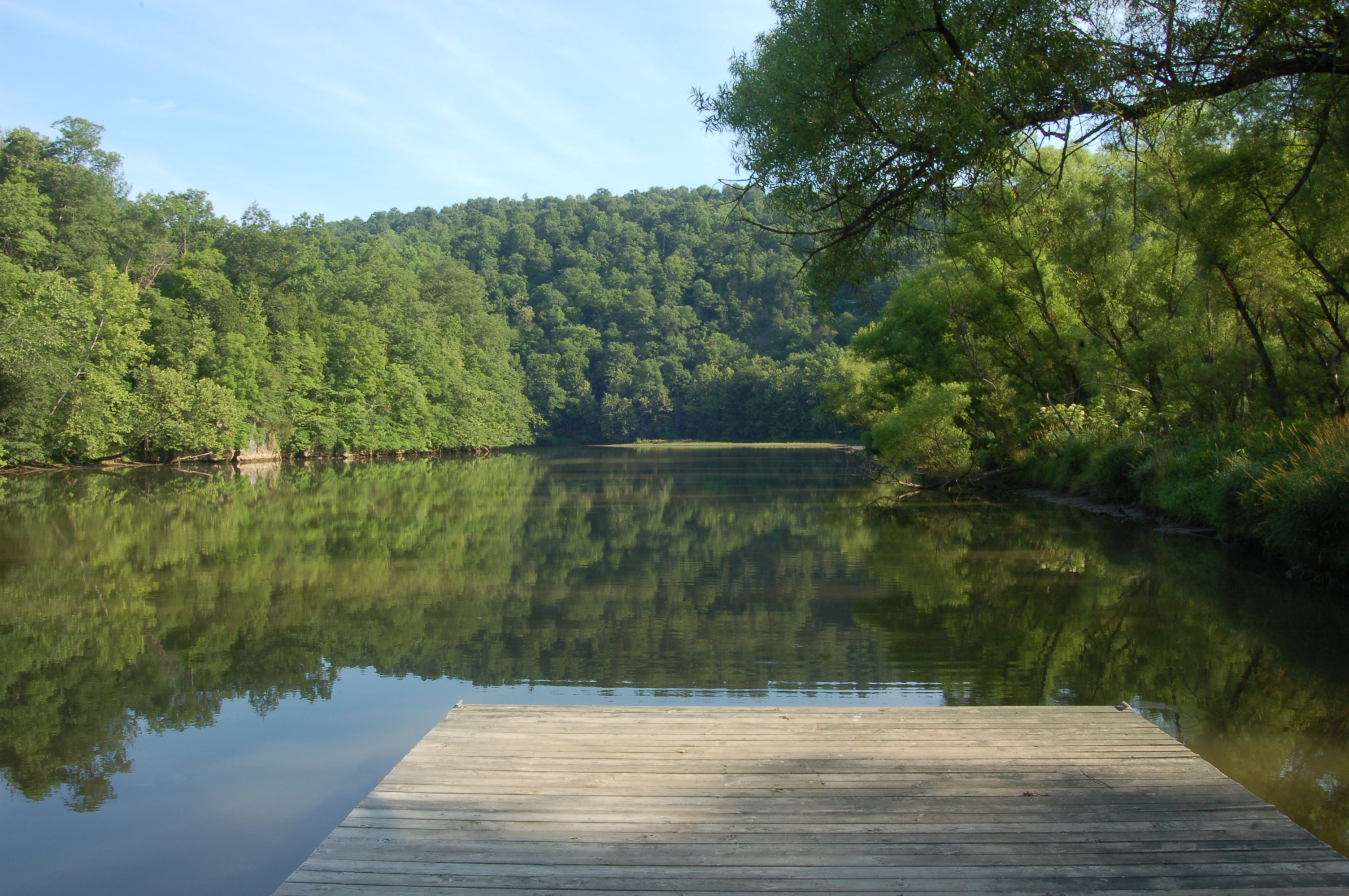
BIG INDIAN CREEK
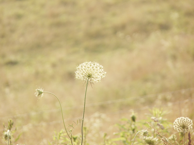
Queen Anne's Lace in the Meadow
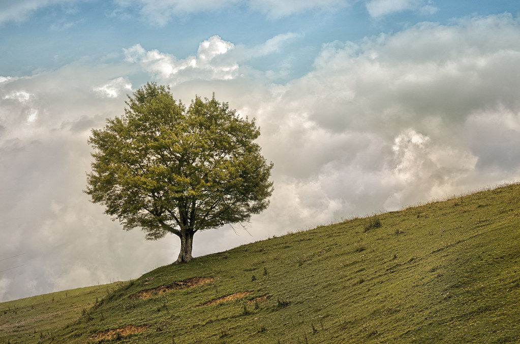
TREE ON HILL
Big Reed River

Blue Sky!
Camp Introvert at Antisocial Point
2-OnClaytorLake
3-MorningClaytorLake
Fall at Claytor Lake
CL_lake from cabin
Fall at Claytor Lake
DSC_2793.JPG
Topographic Map of Indian Valley, VA, USA
Find elevation by address:

Places in Indian Valley, VA, USA:
Places near Indian Valley, VA, USA:
Ambrose Park Road Northwest
Ambrose Park Road Northwest
Horse Ridge Road Northwest
Macks Mountain
130 Sutphin Rd Nw
393 Sutphin Rd Nw
Sutphin Road Northwest
3351 Alpine Village Ln
Snowville
5000 Graysontown Rd
Ingles
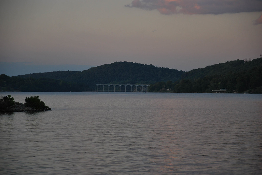
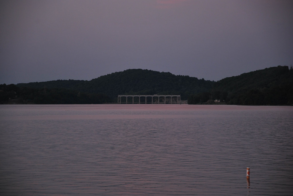
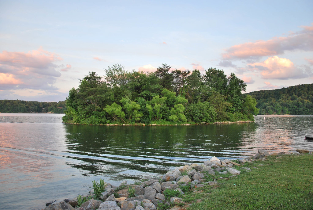
Claytor Lake
Claytor Dam
4584 Mallard Point Way
Mallard Point Way
4593 Mallard Point Way
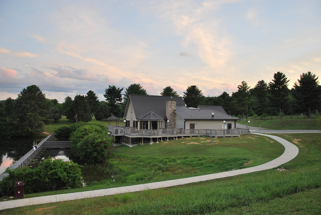
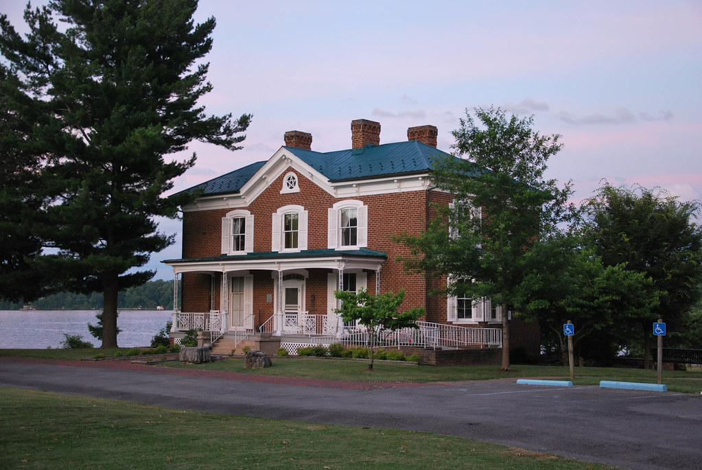
Claytor Lake State Park
Cecils Chapel Road
5506 Boyd Hill Ln
6544 Owens Rd
Recent Searches:
- Elevation of Corso Fratelli Cairoli, 35, Macerata MC, Italy
- Elevation of Tallevast Rd, Sarasota, FL, USA
- Elevation of 4th St E, Sonoma, CA, USA
- Elevation of Black Hollow Rd, Pennsdale, PA, USA
- Elevation of Oakland Ave, Williamsport, PA, USA
- Elevation of Pedrógão Grande, Portugal
- Elevation of Klee Dr, Martinsburg, WV, USA
- Elevation of Via Roma, Pieranica CR, Italy
- Elevation of Tavkvetili Mountain, Georgia
- Elevation of Hartfords Bluff Cir, Mt Pleasant, SC, USA