Elevation of Mystic Ln NW, Willis, VA, USA
Location: United States > Virginia > Floyd County > Burks Fork > Willis >
Longitude: -80.501492
Latitude: 36.9195756
Elevation: 796m / 2612feet
Barometric Pressure: 92KPa
Elevation Map:
Satellite Map:
Related Photos:
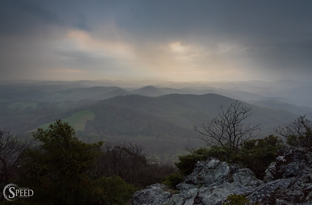
April Showers - Buffalo Mountain Natural Area
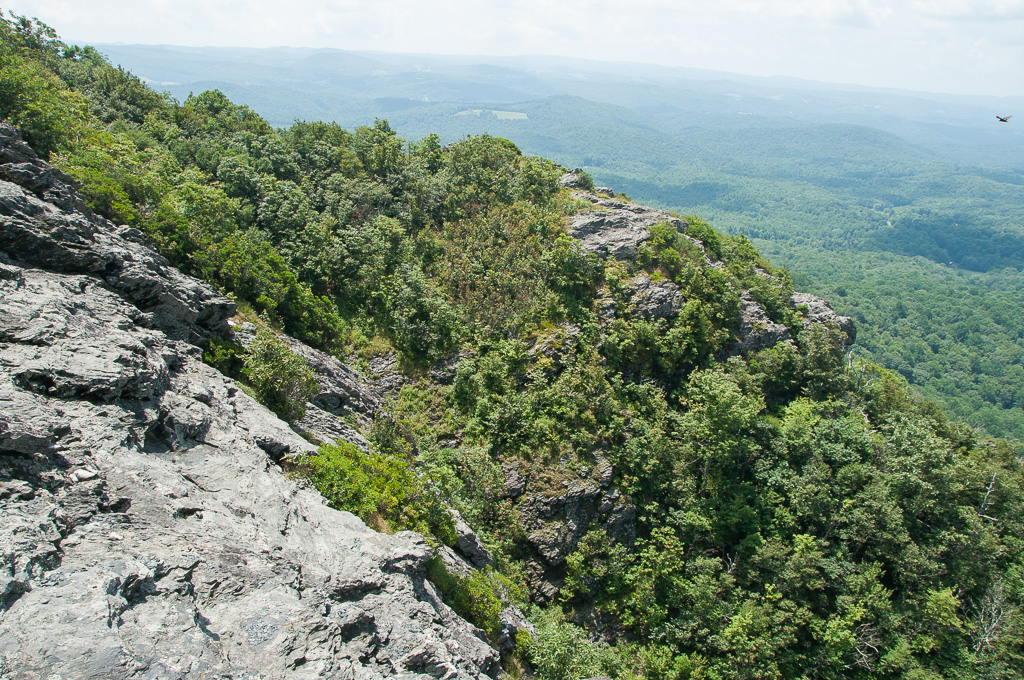
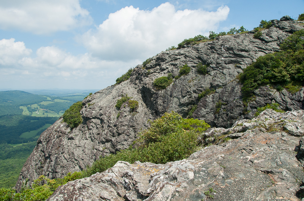
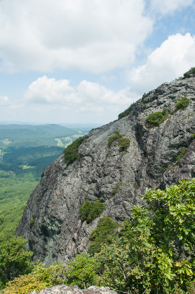
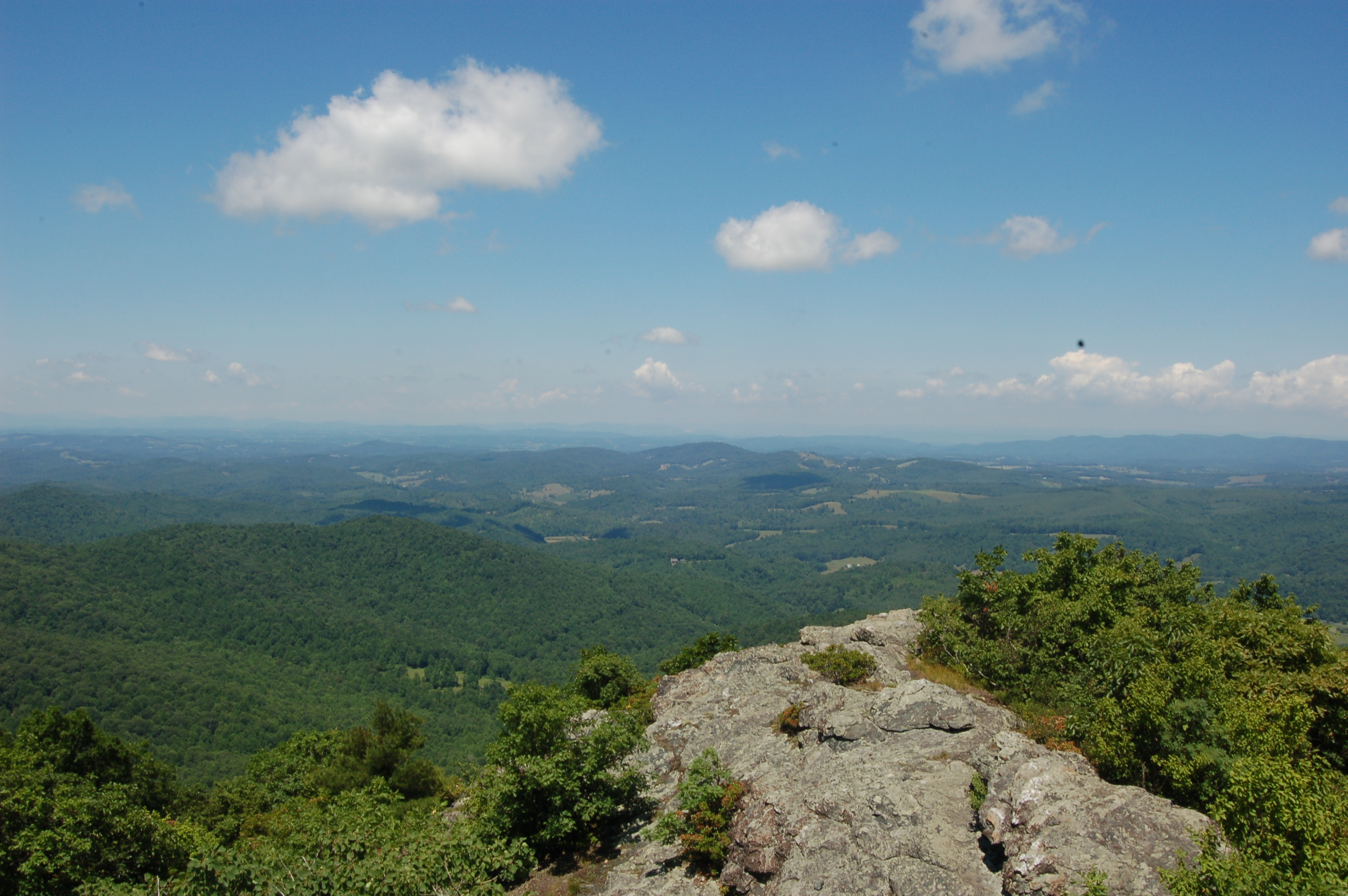
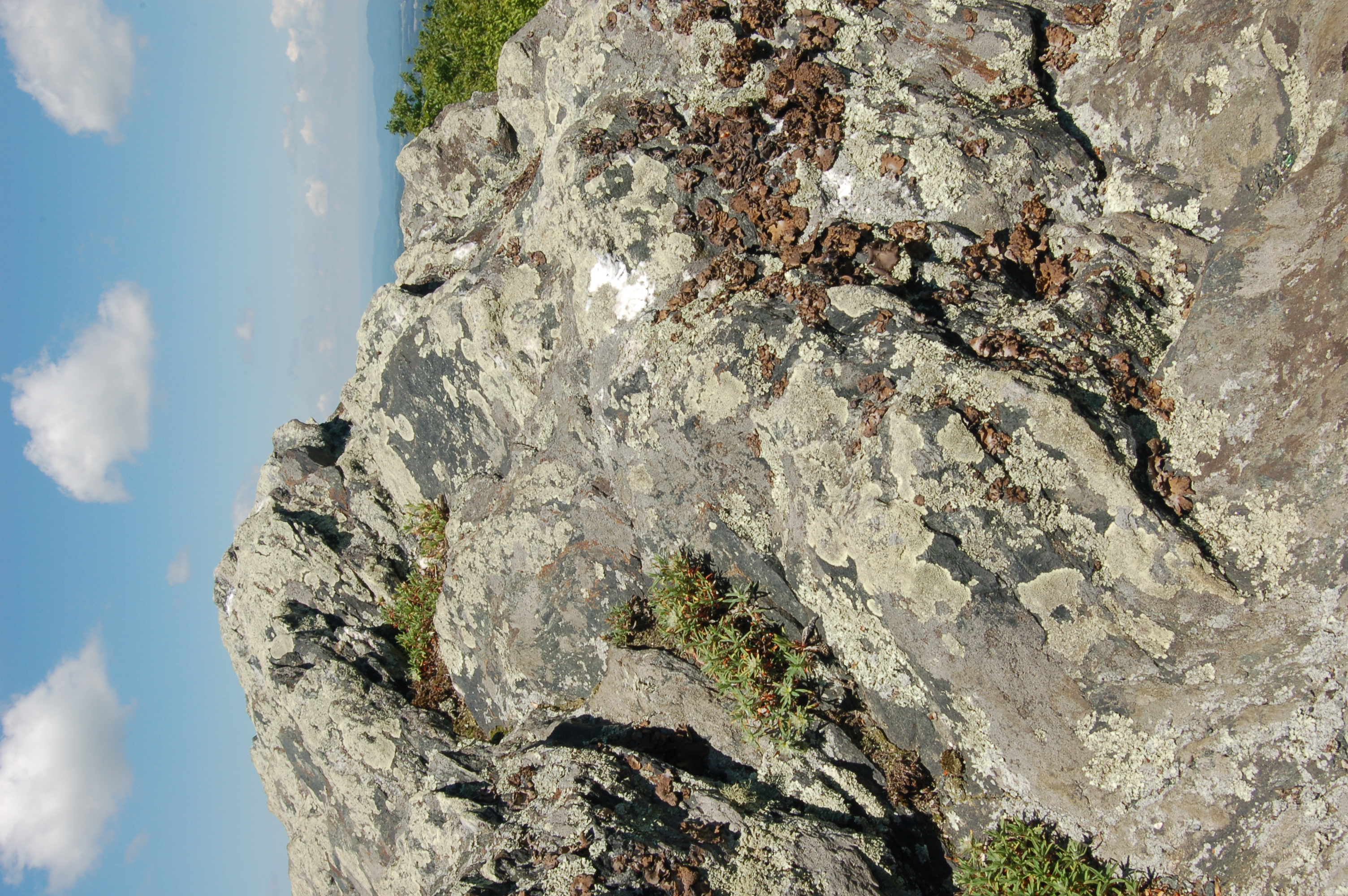
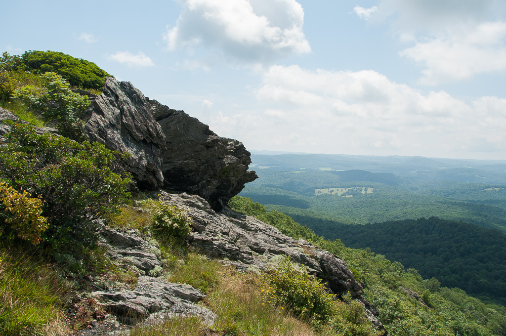
W4V/FC-005 - Buffalo Mtn View
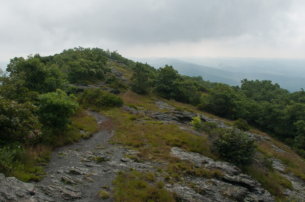
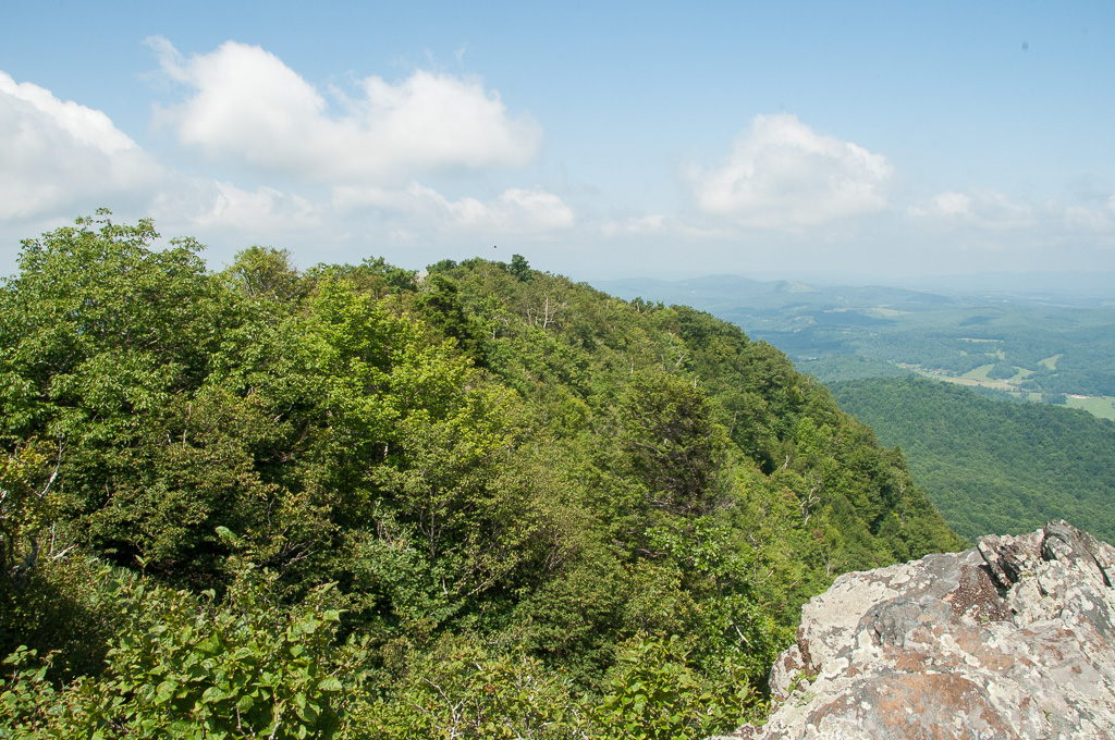
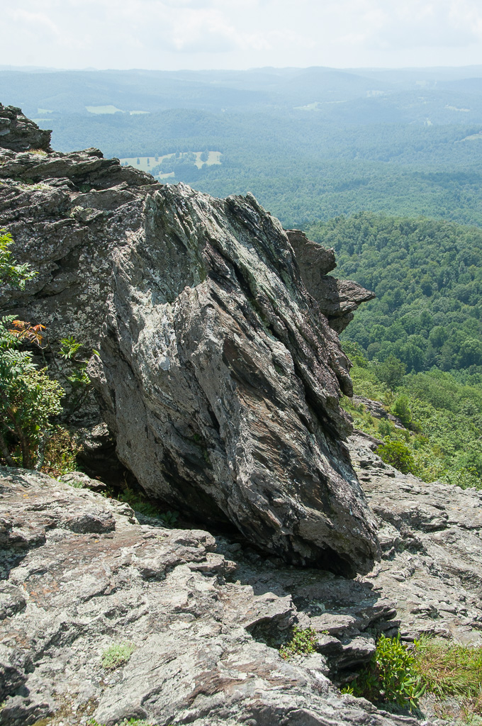
W4V/FC-005 - Buffalo Mtn View

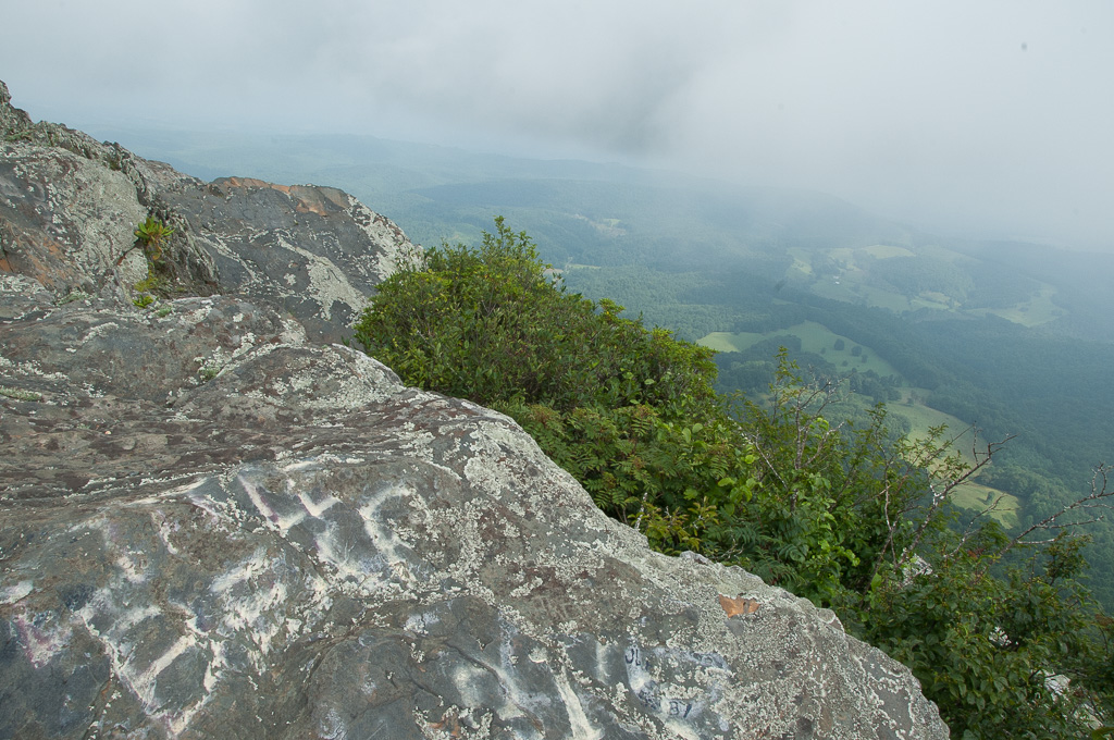
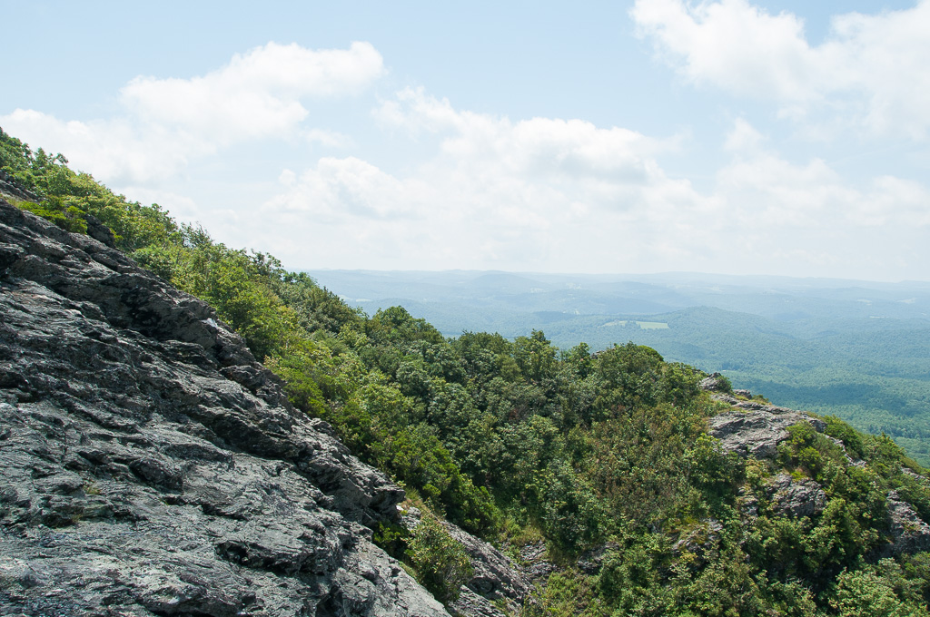
W4V/FC-005 - Buffalo Mtn View
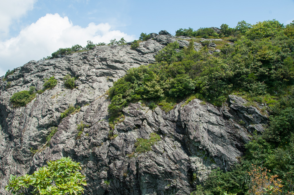
W4V/FC-005 - Buffalo Mtn View

W4V/FC-005 - Buffalo Mtn View

W4V/FC-005 - Buffalo Mtn View

W4V/FC-005 - Buffalo Mtn View

W4V/FC-005 - Buffalo Mtn View
W4V/FC-005 - Buffalo Mtn View

W4V/FC-005 - Buffalo Mtn View
W4V/FC-005 - Buffalo Mtn View
W4V/FC-005 - Buffalo Mtn View
W4V/FC-005 - Buffalo Mtn View
W4V/FC-005 - Buffalo Mtn View
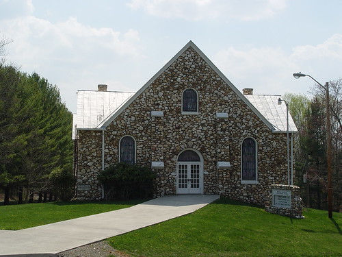
BUFFALO MTN. PRESBYTERIAN
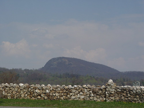
BUFFALO MOUNTAIN
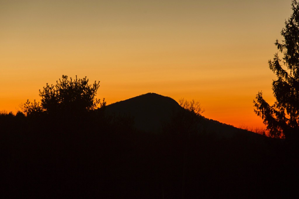
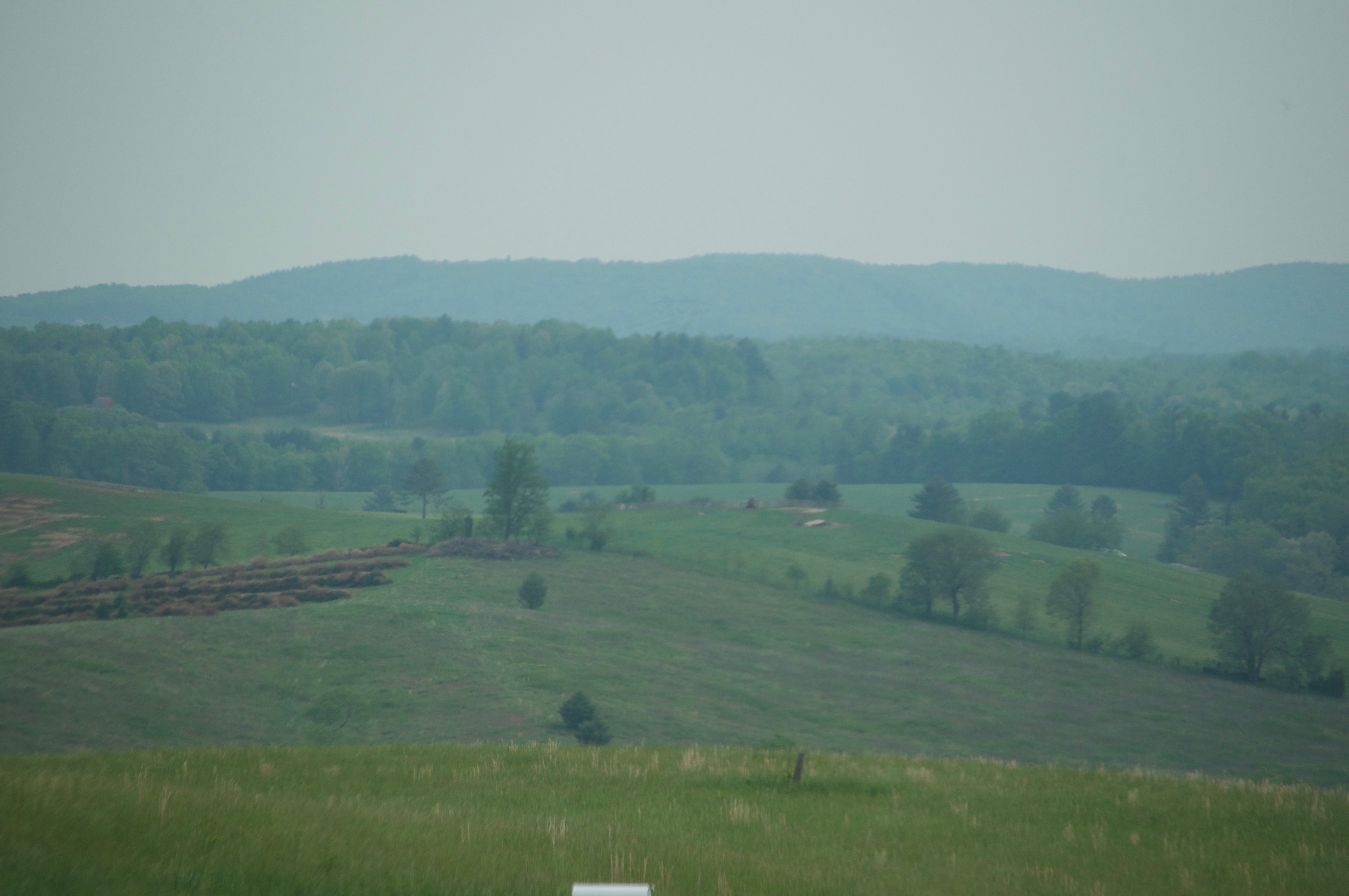
Buffalo Mountain
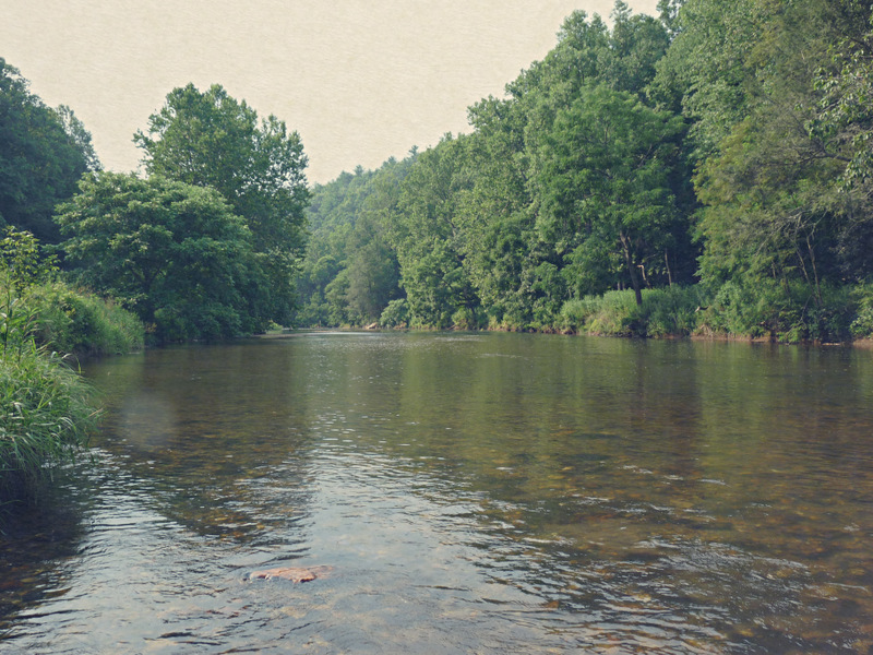
Big Reed River
DSC_2256.JPG
DSC_2261.JPG
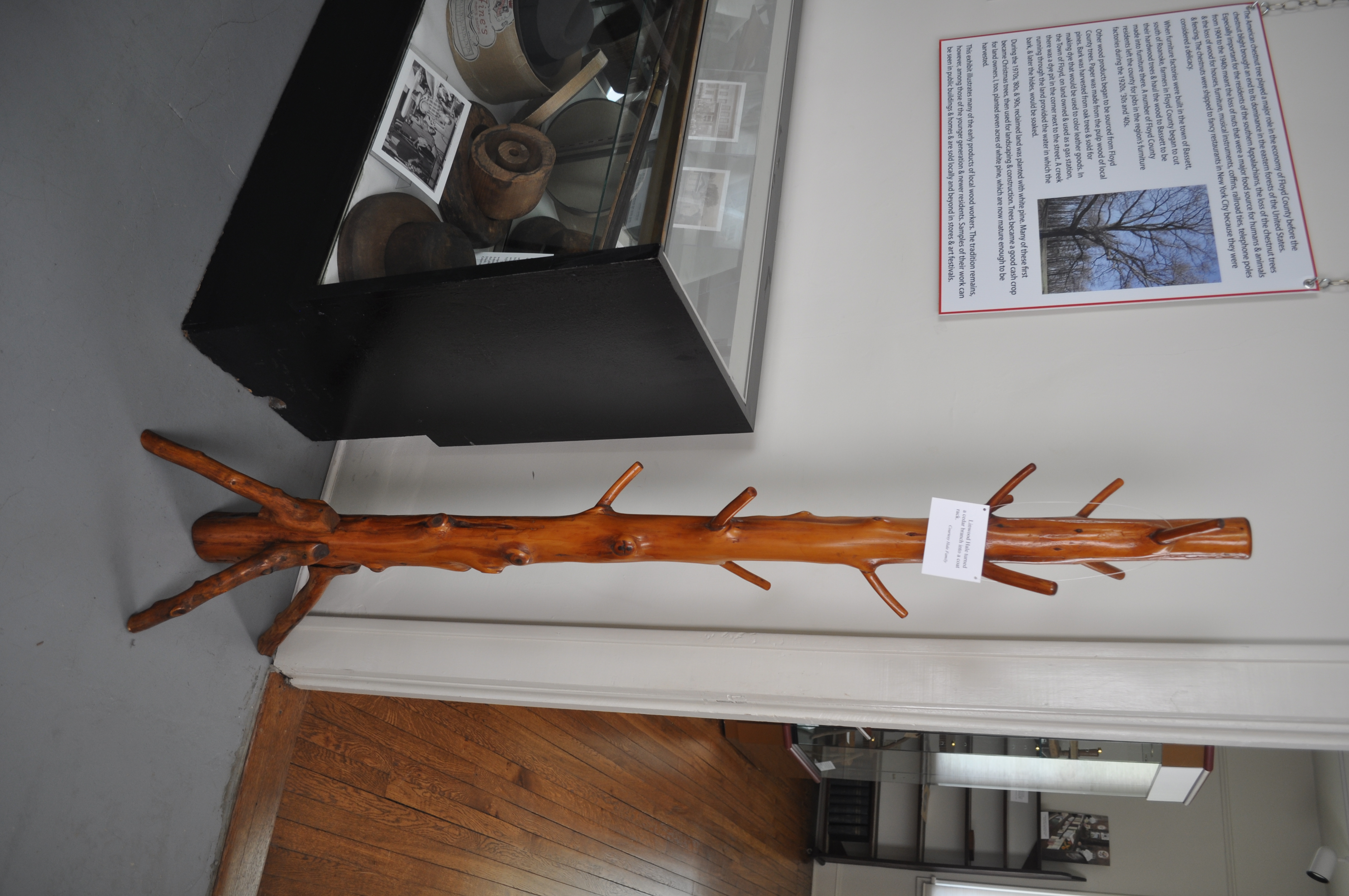
0808 Coat rack Img_22134
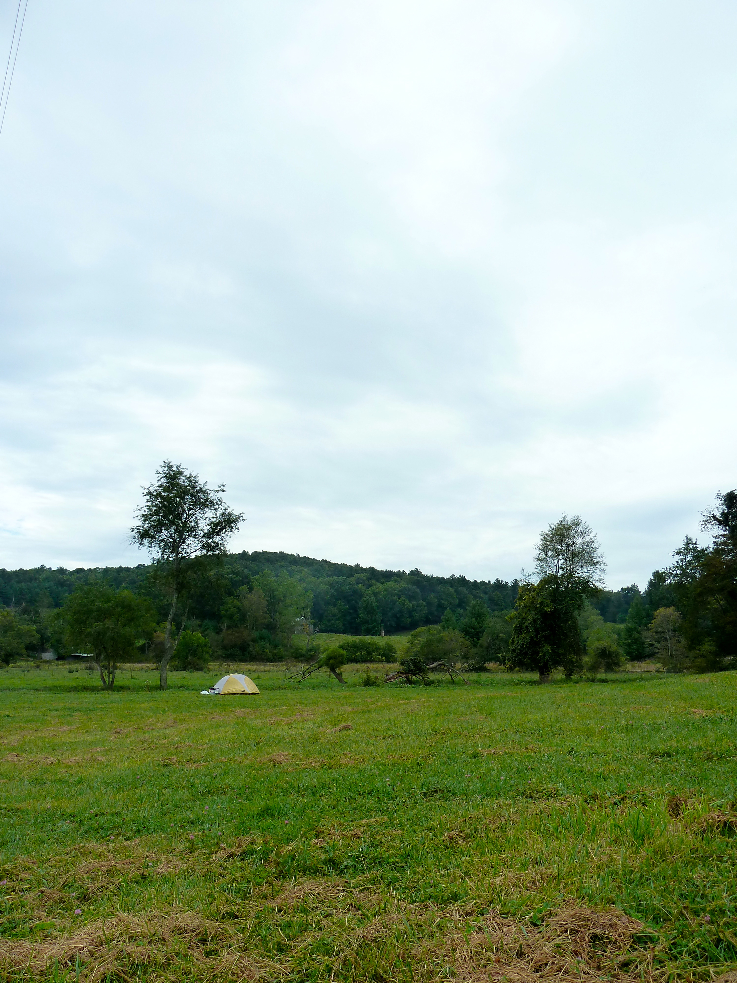
Camp Introvert at Antisocial Point
W4V/FC-005 - Buffalo Mtn View
W4V/FC-005 - Buffalo Mtn View

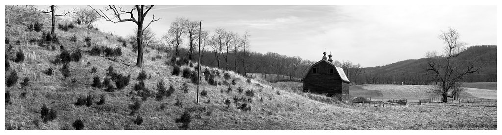
THE WAY HOME
Rustic Ridge
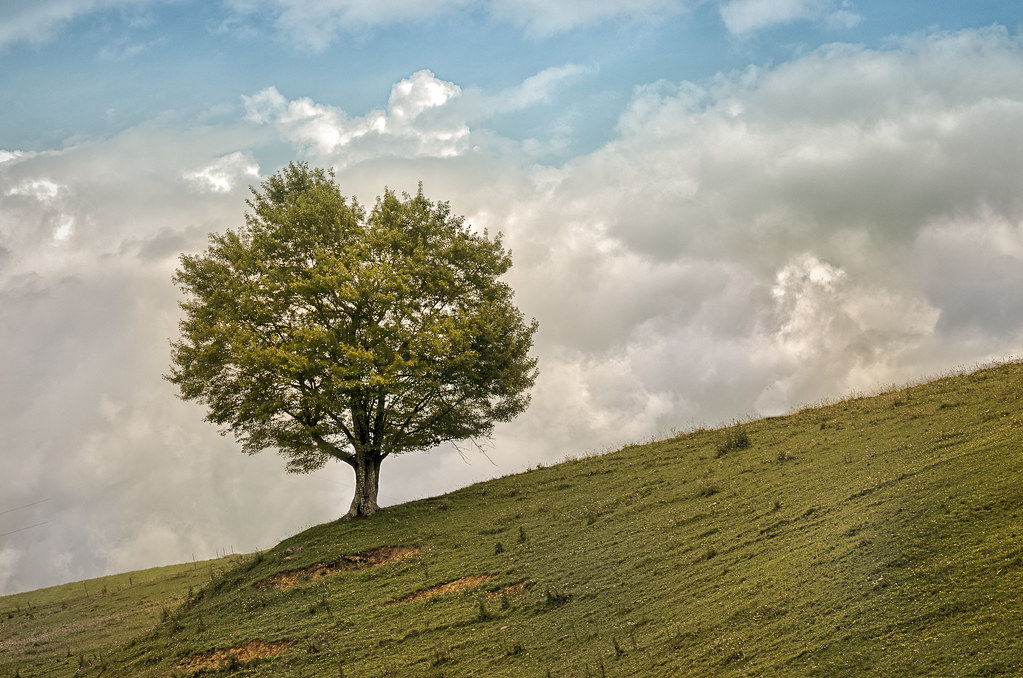
TREE ON HILL
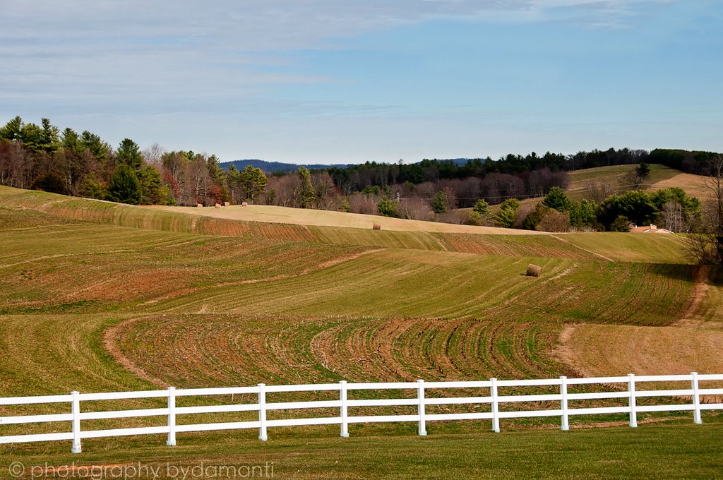
HAY FIELD

BIG INDIAN CREEK
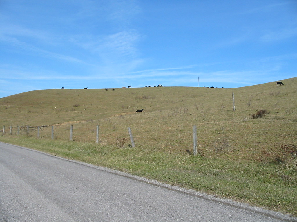
Hills and cows.

Old slave quarters
Floyd Pike
Topographic Map of Mystic Ln NW, Willis, VA, USA
Find elevation by address:

Places near Mystic Ln NW, Willis, VA, USA:
3005 Alum Ridge Rd Nw
3413 Ridgeview Rd Nw
1410 White Rock Rd Nw
256 Dulaney Rd Nw
350 Mill Rd Nw
1995 Alum Ridge Rd Nw
Alum Ridge Road Northwest
Reed Hill Rd NW, Floyd, VA, USA
475 Loss Bent Rd Nw
398 George Reed Ln Nw
6571 Chestnut Ridge Rd
4586 Alum Ridge Rd Nw
355 Sam Reed Rd Nw
1022 Dusty Rock Rd Nw
5900 Chestnut Ridge Rd
5820 Chestnut Ridge Rd
1501 Ridgeview Rd Nw
207 Yellow Brick Rd Nw
132 High Hopes Ln Nw
Riner, VA, USA
Recent Searches:
- Elevation of Corso Fratelli Cairoli, 35, Macerata MC, Italy
- Elevation of Tallevast Rd, Sarasota, FL, USA
- Elevation of 4th St E, Sonoma, CA, USA
- Elevation of Black Hollow Rd, Pennsdale, PA, USA
- Elevation of Oakland Ave, Williamsport, PA, USA
- Elevation of Pedrógão Grande, Portugal
- Elevation of Klee Dr, Martinsburg, WV, USA
- Elevation of Via Roma, Pieranica CR, Italy
- Elevation of Tavkvetili Mountain, Georgia
- Elevation of Hartfords Bluff Cir, Mt Pleasant, SC, USA