Elevation of Doom Dooma, Assam, India
Location: India > Assam > Tinsukia >
Longitude: 95.5551652
Latitude: 27.5664171
Elevation: 124m / 407feet
Barometric Pressure: 100KPa
Elevation Map:
Satellite Map:
Related Photos:

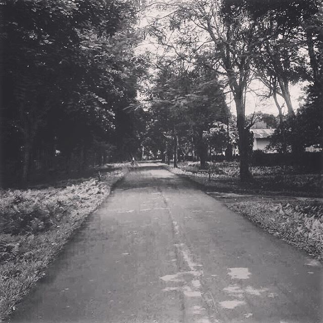
A lovely evening at Rupai Siding, Doomdooma
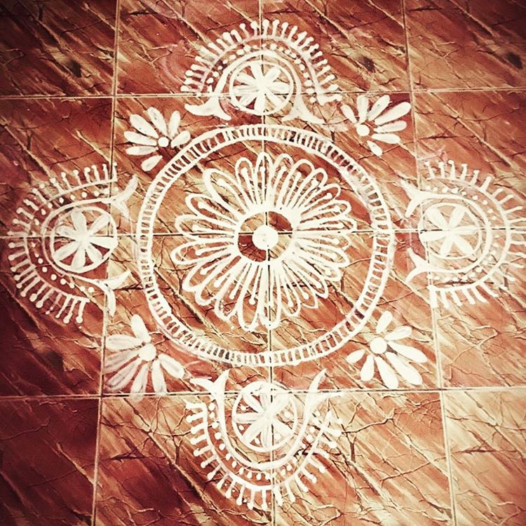
Don't judge me for the path I take, if you have no idea about the journey I have to make. #randomthoughts #eyesofbeholder #thoughtheeyesofher #instagrammers #igers #instalove #instamood #instagood #iphoneography #instadaily #igaddict
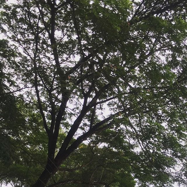
It doesn't really matter, what heights you reached if you don't realise how many hearts you touched. #randomthoughts #eyesofbeholder #instagrammers #igers #instalove #instamood #instagood #iphoneography #instadaily #igaddict
❤️
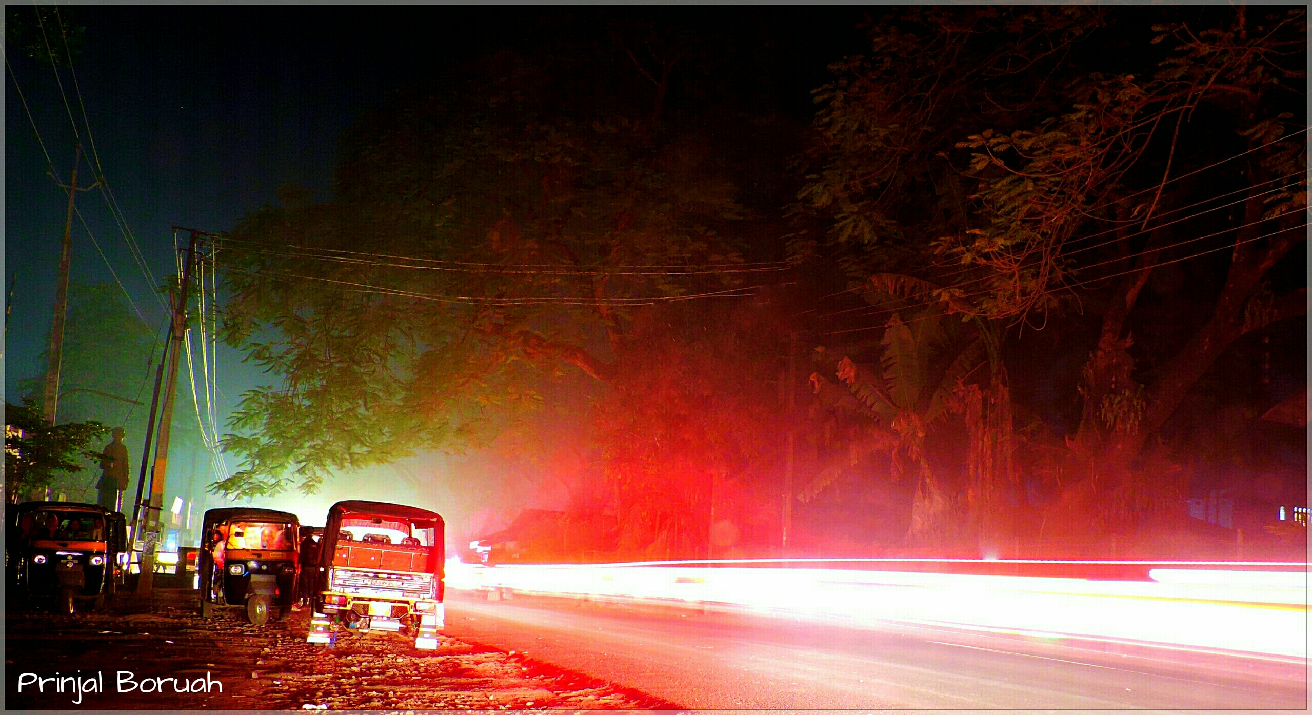
Doomdooma Rickshaw Stand at Night
Topographic Map of Doom Dooma, Assam, India
Find elevation by address:

Places near Doom Dooma, Assam, India:
Tinsukia
Hijuguri
Panitola
Duliajan
Namrup Chah Bagicha
Dibrugarh
Pasighat Main Market
Pasighat
Lumpo
Tirap
Khonsa
Tawang
Graham Bazar
Dibrugarh
East Siang
Longding H.q.
Silli
Mon
Mon Village
Sivasagar
Recent Searches:
- Elevation of Corso Fratelli Cairoli, 35, Macerata MC, Italy
- Elevation of Tallevast Rd, Sarasota, FL, USA
- Elevation of 4th St E, Sonoma, CA, USA
- Elevation of Black Hollow Rd, Pennsdale, PA, USA
- Elevation of Oakland Ave, Williamsport, PA, USA
- Elevation of Pedrógão Grande, Portugal
- Elevation of Klee Dr, Martinsburg, WV, USA
- Elevation of Via Roma, Pieranica CR, Italy
- Elevation of Tavkvetili Mountain, Georgia
- Elevation of Hartfords Bluff Cir, Mt Pleasant, SC, USA