Elevation map of Dibrugarh, Assam, India
Location: India > Assam >
Longitude: 95.1015225
Latitude: 27.4095733
Elevation: 115m / 377feet
Barometric Pressure: 100KPa
Elevation Map:
Satellite Map:
Related Photos:

Far from the fishy crowd #billboard, #tourism, #fisherman, #solitary, #fish, #staplediet, #thethinker, #canebasket, #regional, #culture, #occupation, #justanotherday, #crowd, #freshwater, #riverbank, #Assamese, #promotion, #airport, #man

Journey is all about places , people and their stories. Kalpana Patnaik , a temporary staff at #Dibrugarh airport also has her story of struggle behind that wonderful smile #travelpics #assam
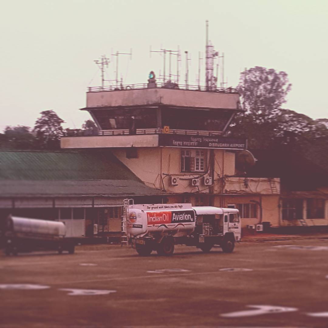
I miss this. #oldairport, #forgotten, #redundant, #nostalgia, #ancient

I'm in no hurry
Topographic Map of Dibrugarh, Assam, India
Find elevation by address:

Places in Dibrugarh, Assam, India:
Places near Dibrugarh, Assam, India:
Panitola
Dibrugarh
Graham Bazar
Duliajan
Hijuguri
Tinsukia
Namrup Chah Bagicha
Lumpo
Silli
Doom Dooma
Longding H.q.
Khonsa
Tawang
Tirap
Sivasagar
Mon
Sivasagar
Mon Village
Pasighat Main Market
Pasighat
Recent Searches:
- Elevation of Corso Fratelli Cairoli, 35, Macerata MC, Italy
- Elevation of Tallevast Rd, Sarasota, FL, USA
- Elevation of 4th St E, Sonoma, CA, USA
- Elevation of Black Hollow Rd, Pennsdale, PA, USA
- Elevation of Oakland Ave, Williamsport, PA, USA
- Elevation of Pedrógão Grande, Portugal
- Elevation of Klee Dr, Martinsburg, WV, USA
- Elevation of Via Roma, Pieranica CR, Italy
- Elevation of Tavkvetili Mountain, Georgia
- Elevation of Hartfords Bluff Cir, Mt Pleasant, SC, USA