Elevation of Dog Creek Rd, Lakehead, CA, USA
Location: United States > California > Shasta County > Lakehead >
Longitude: -122.48007
Latitude: 40.9311178
Elevation: 494m / 1621feet
Barometric Pressure: 96KPa
Elevation Map:
Satellite Map:
Related Photos:

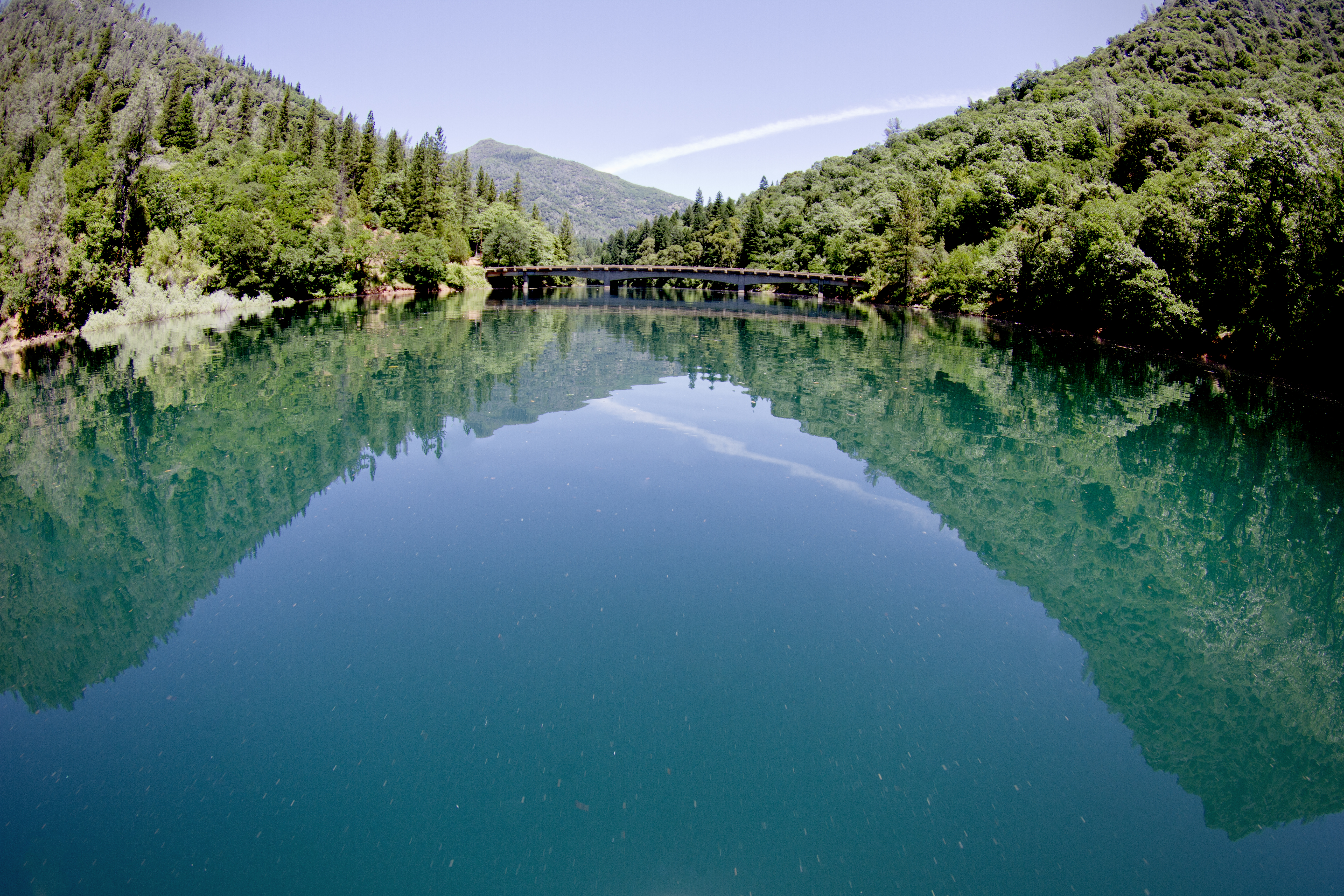
Dog Creek Bridge
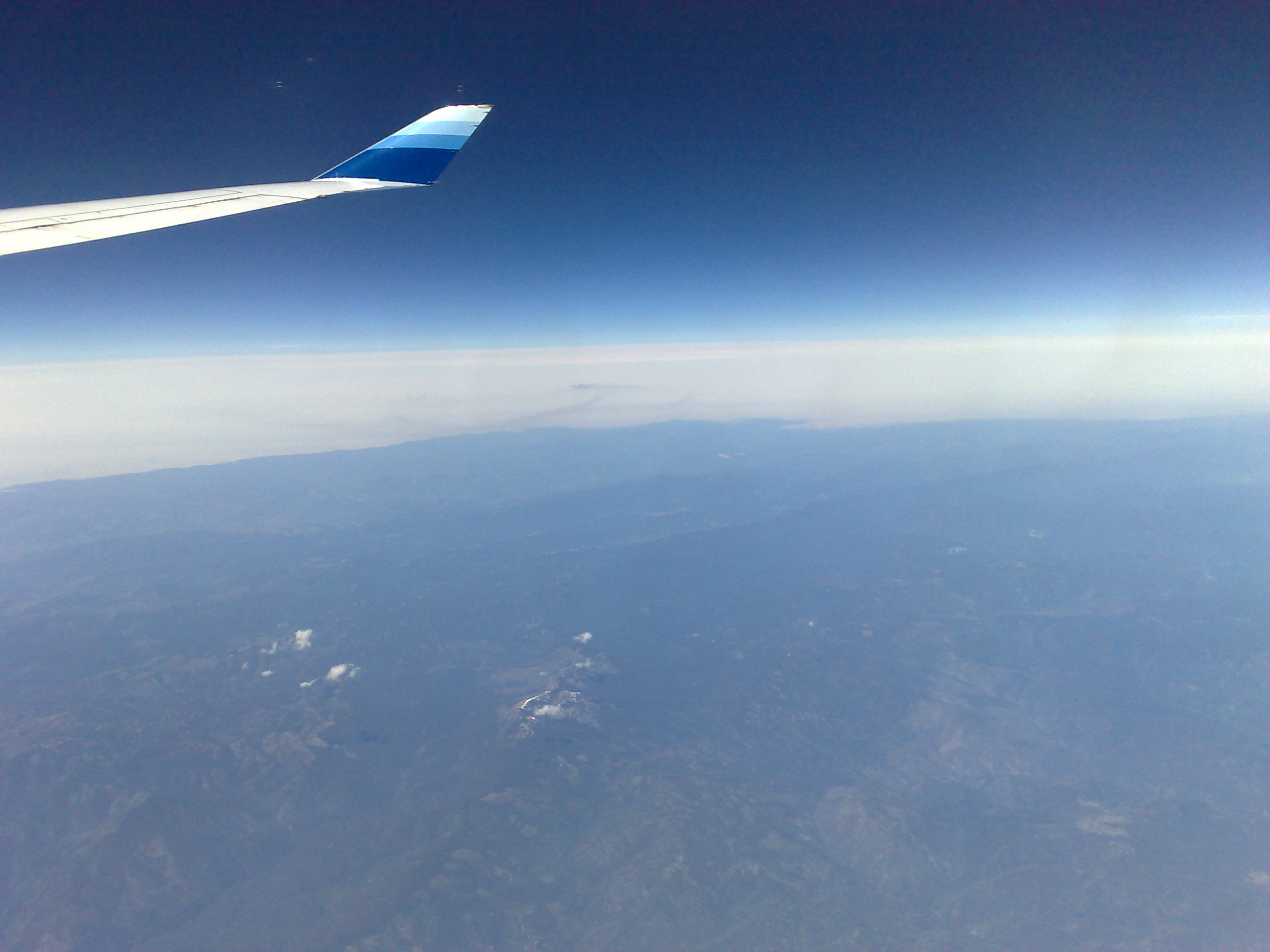
View from a 747

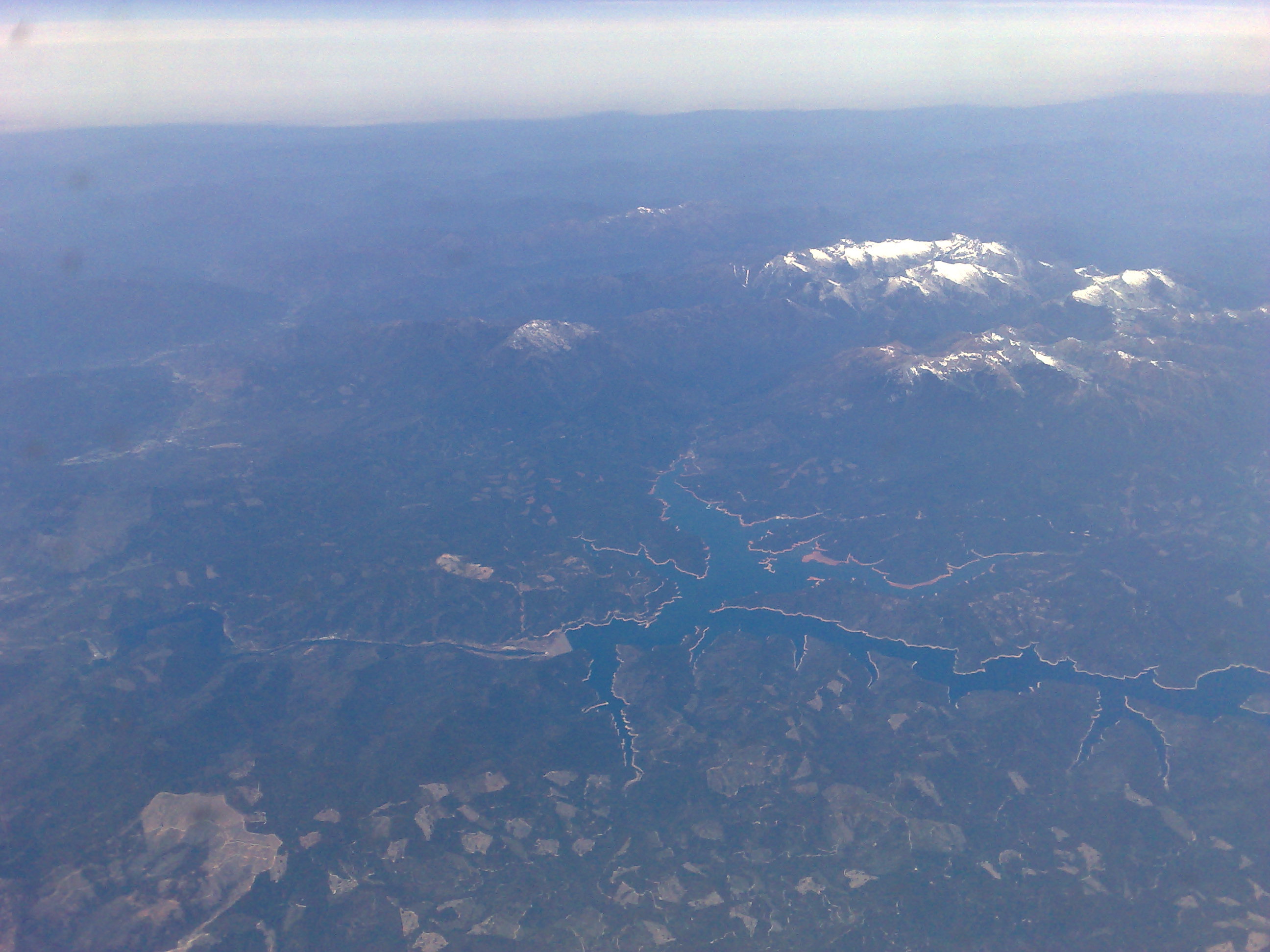
View from a 747
View from a 747
Lakehead-Lakeshore, California, USA

Doney Creek Bridges

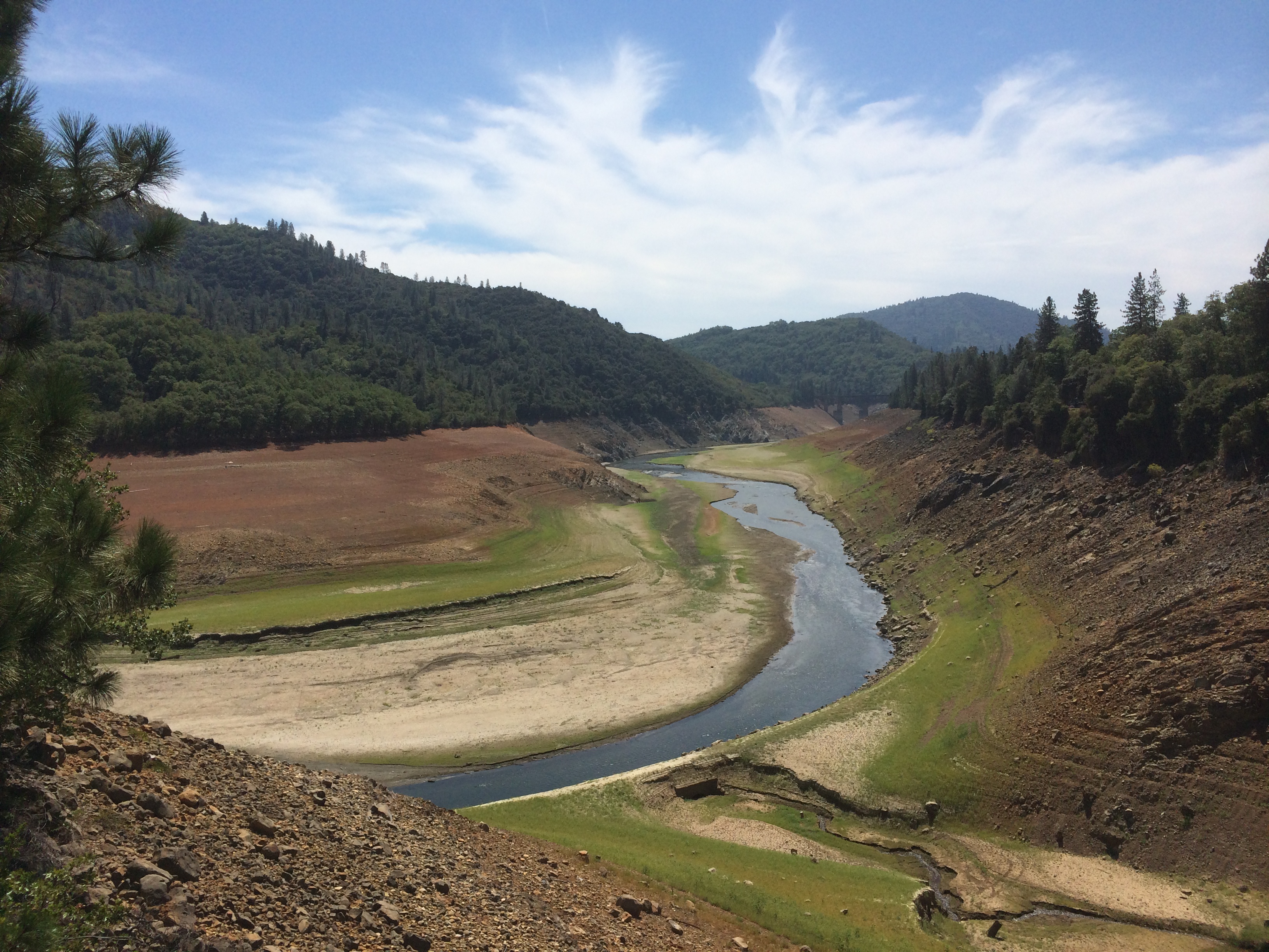
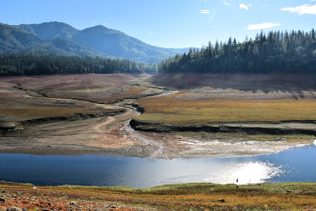
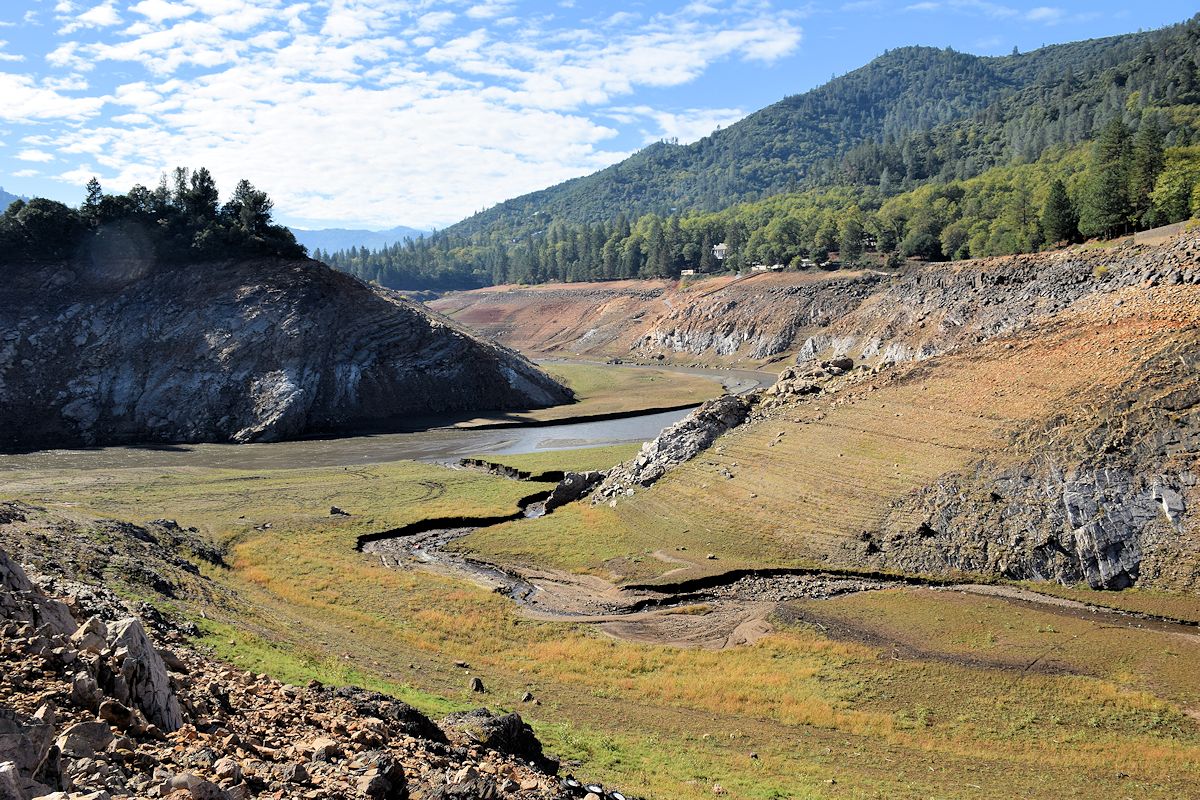
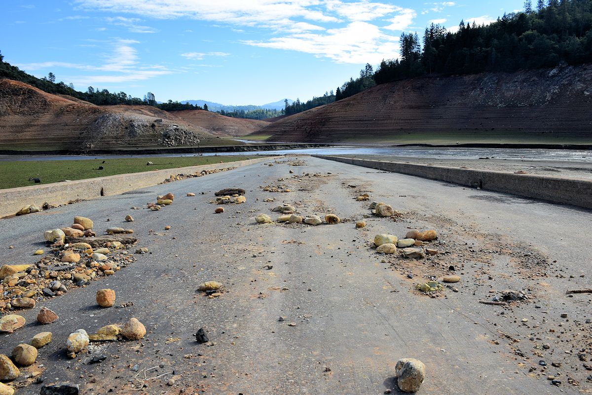
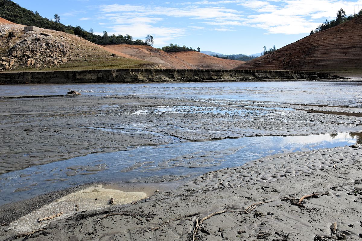
Dry Shasta Lake

Fender Ferry Bridge

Charlie Creek Bridge
Old Highway 99 bridge, Sacramento River
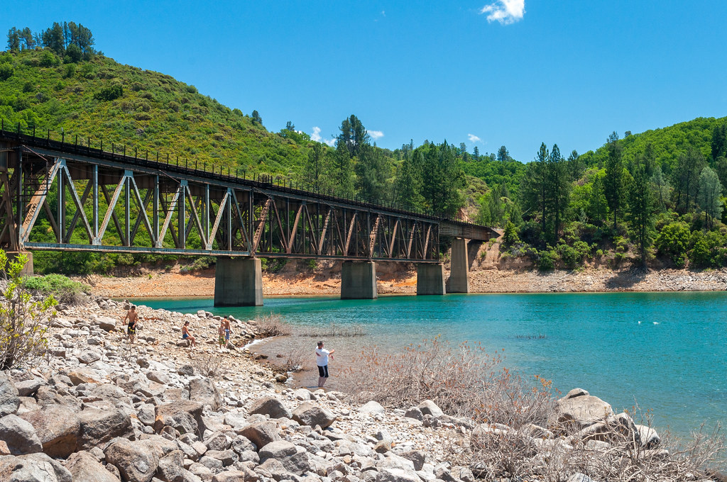
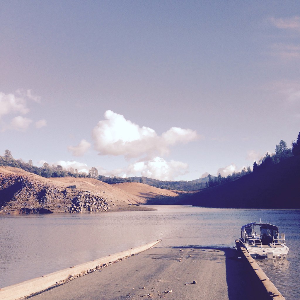
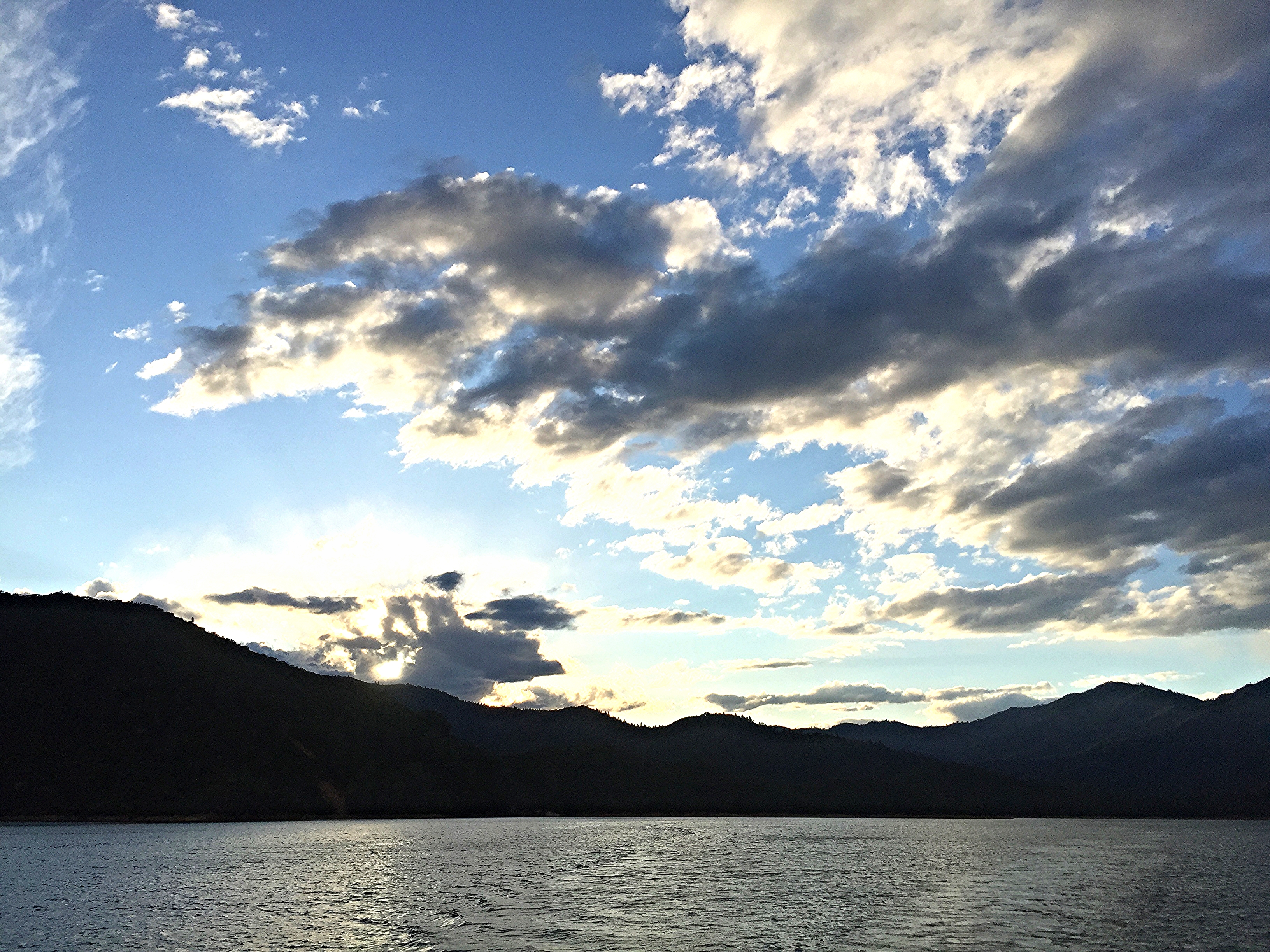
Shasta Lake
Gregory Creek area
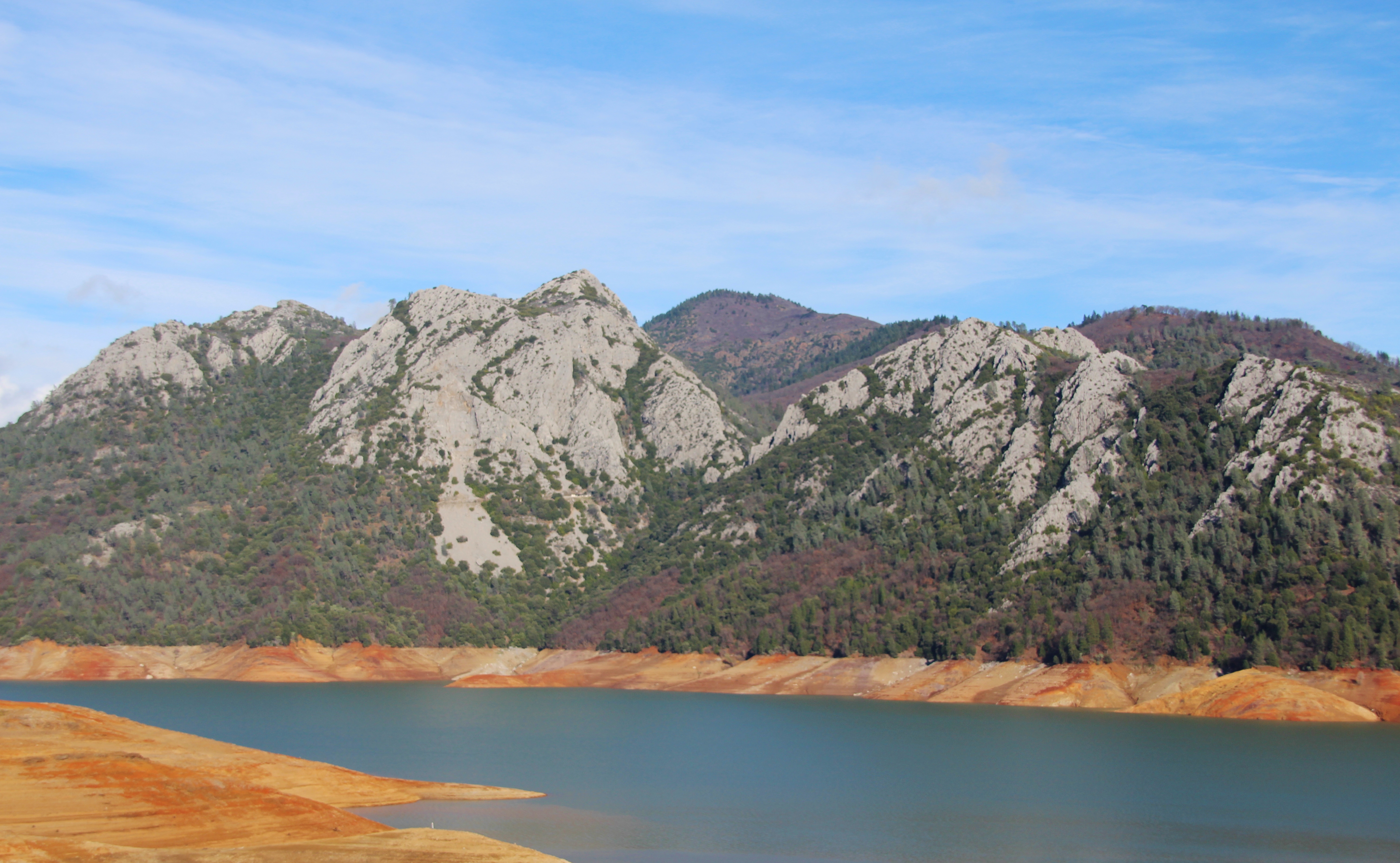
Lake Shasta
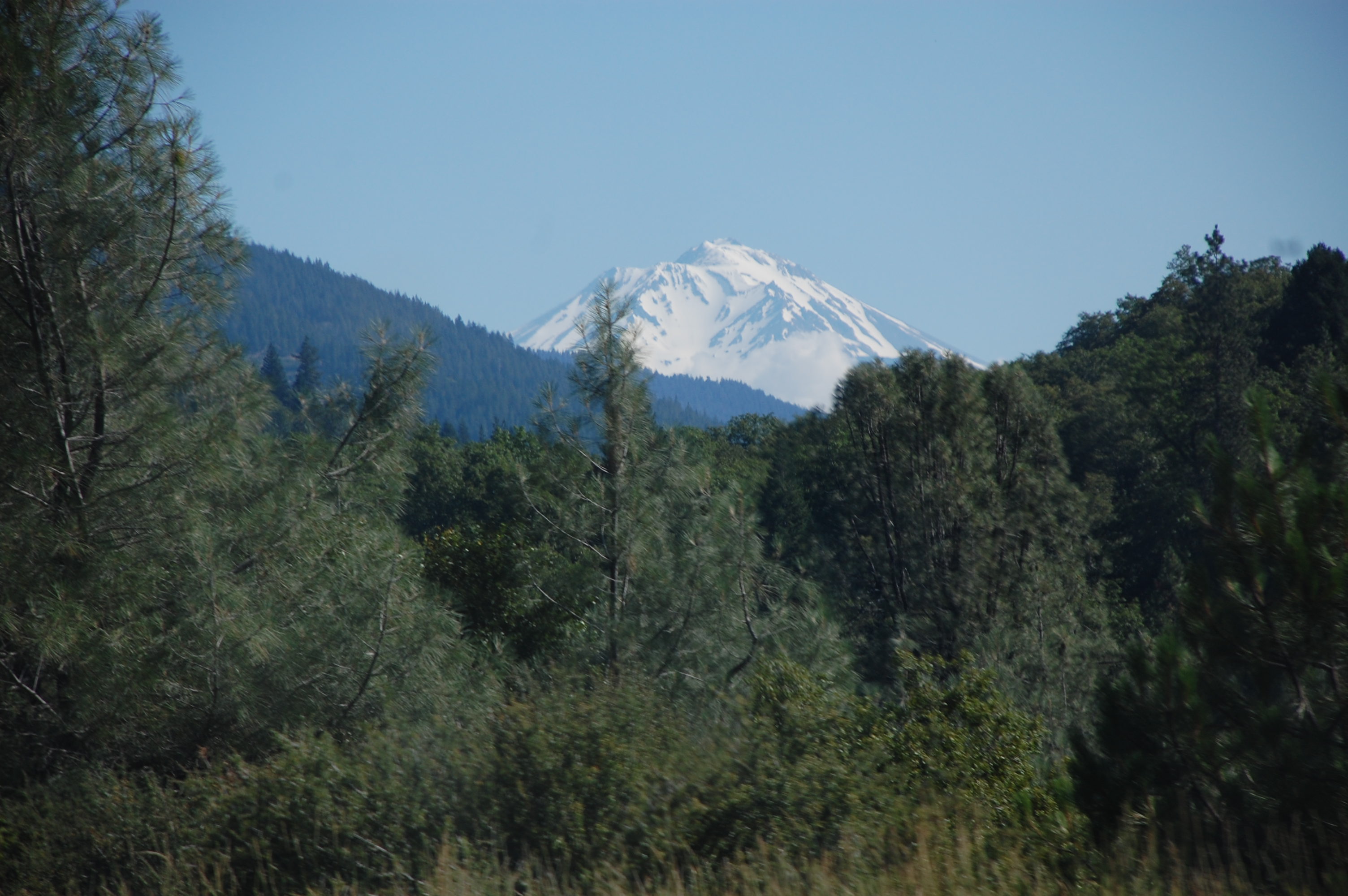
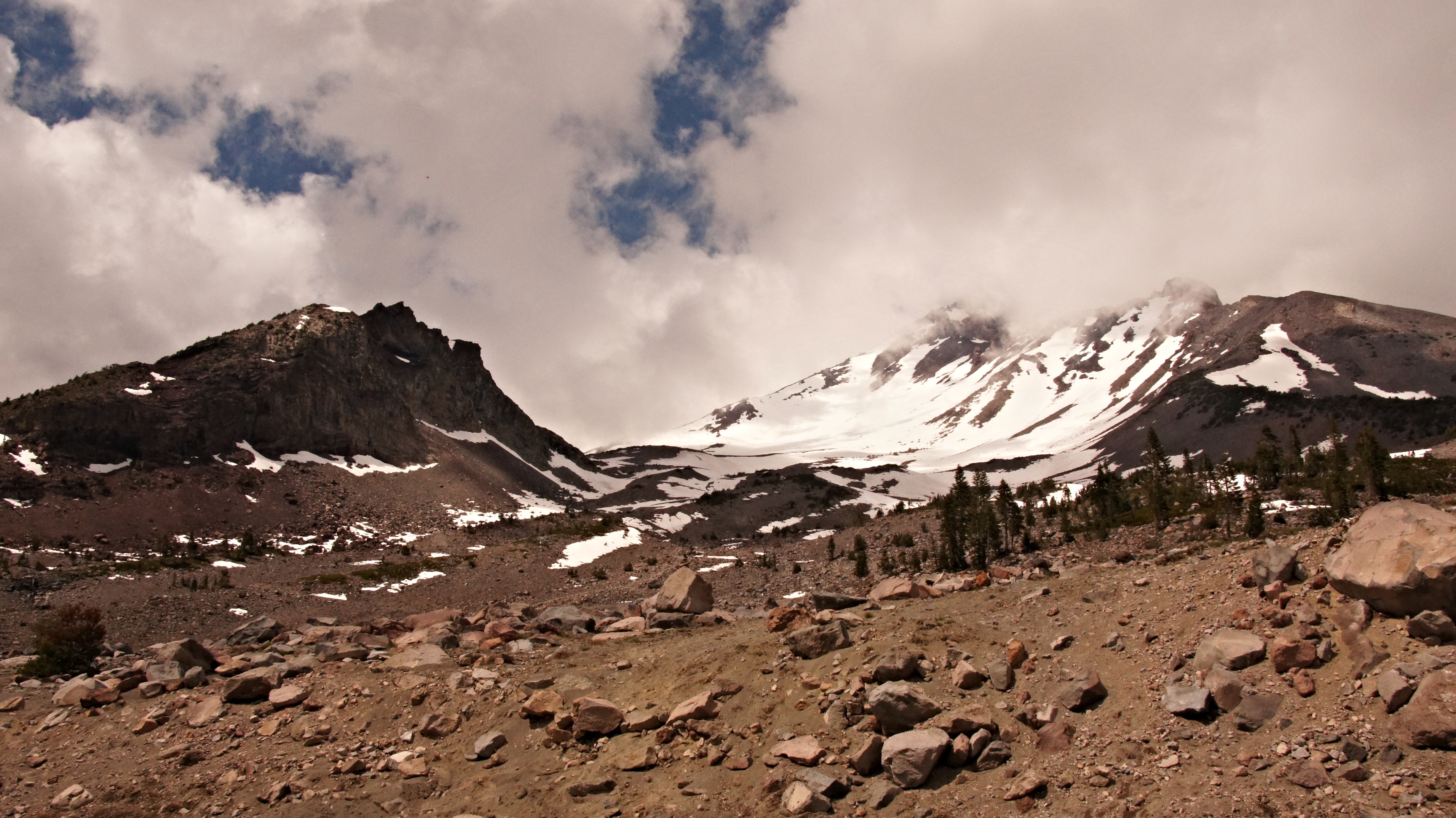
Mount Shasta
Charlie Creek area
Shastha Mountain
Old Hwy 99 going into Lake Shasta
glass trees
Shasta.
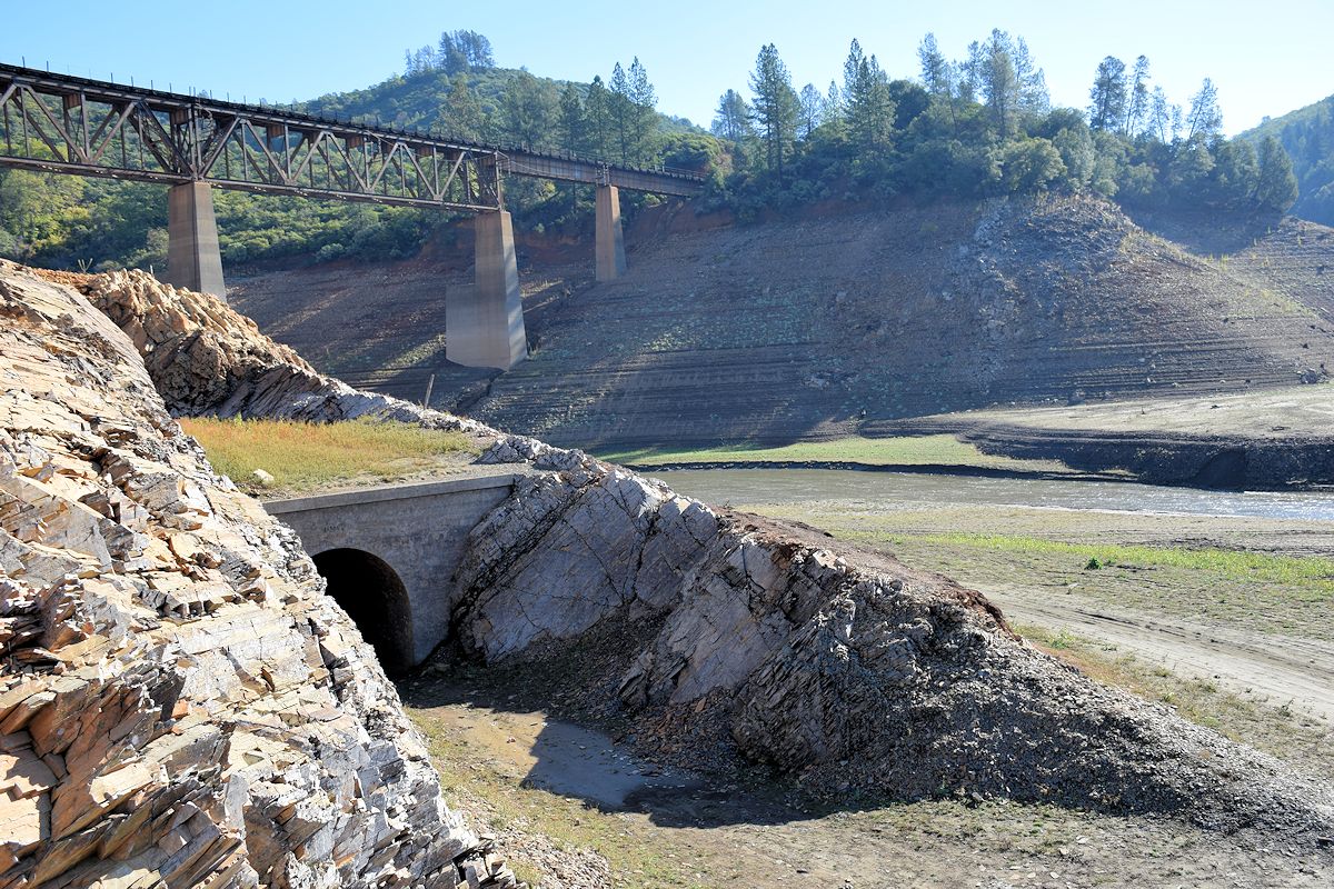
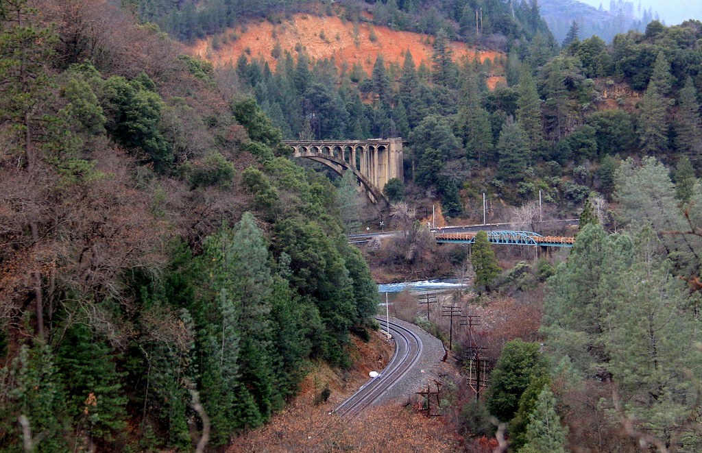
The old Central Pacific Railroad Tunnel No. 6
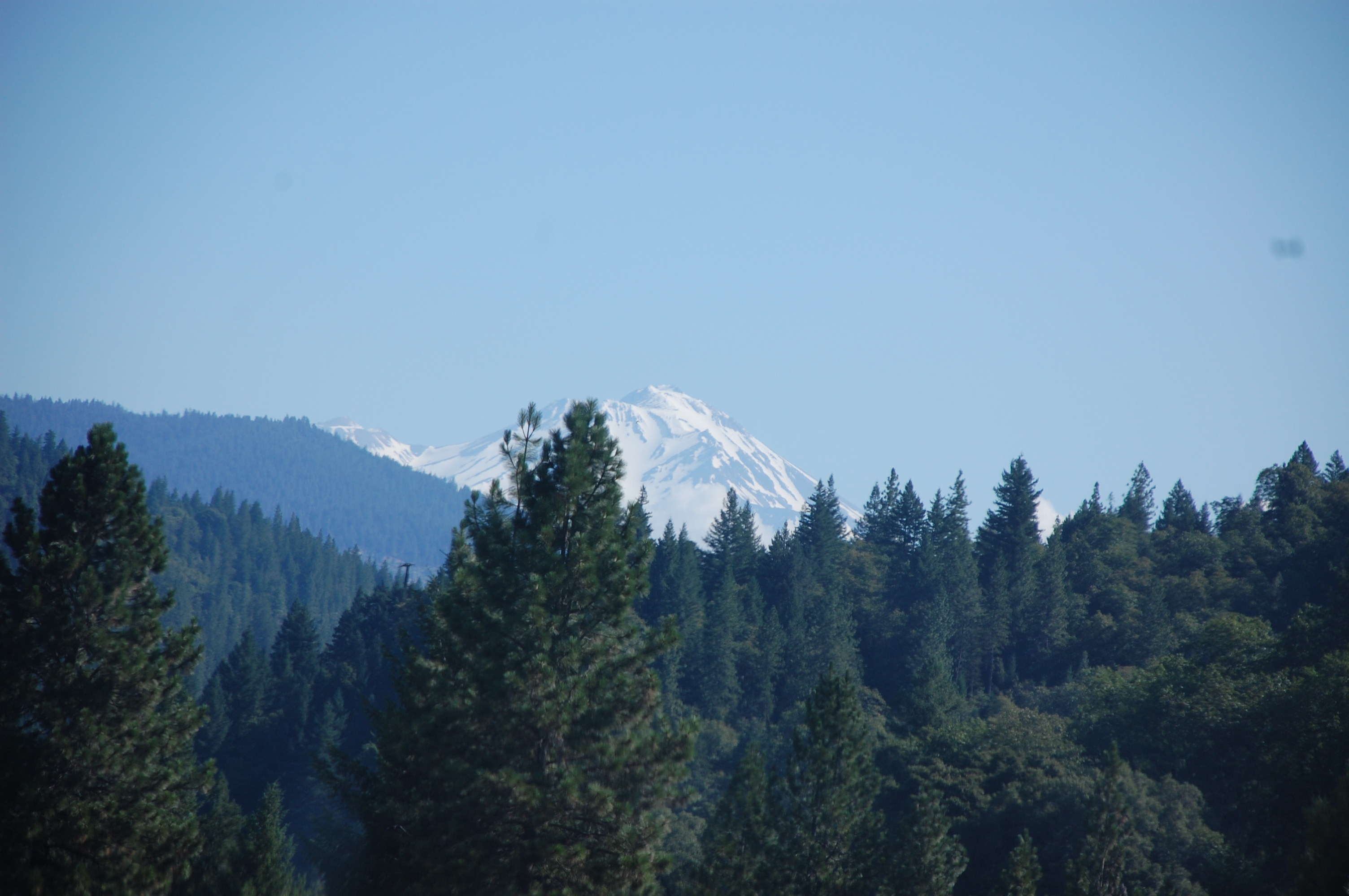
Mount Shasta
The old Pollock bridge at Sugarloaf Marina
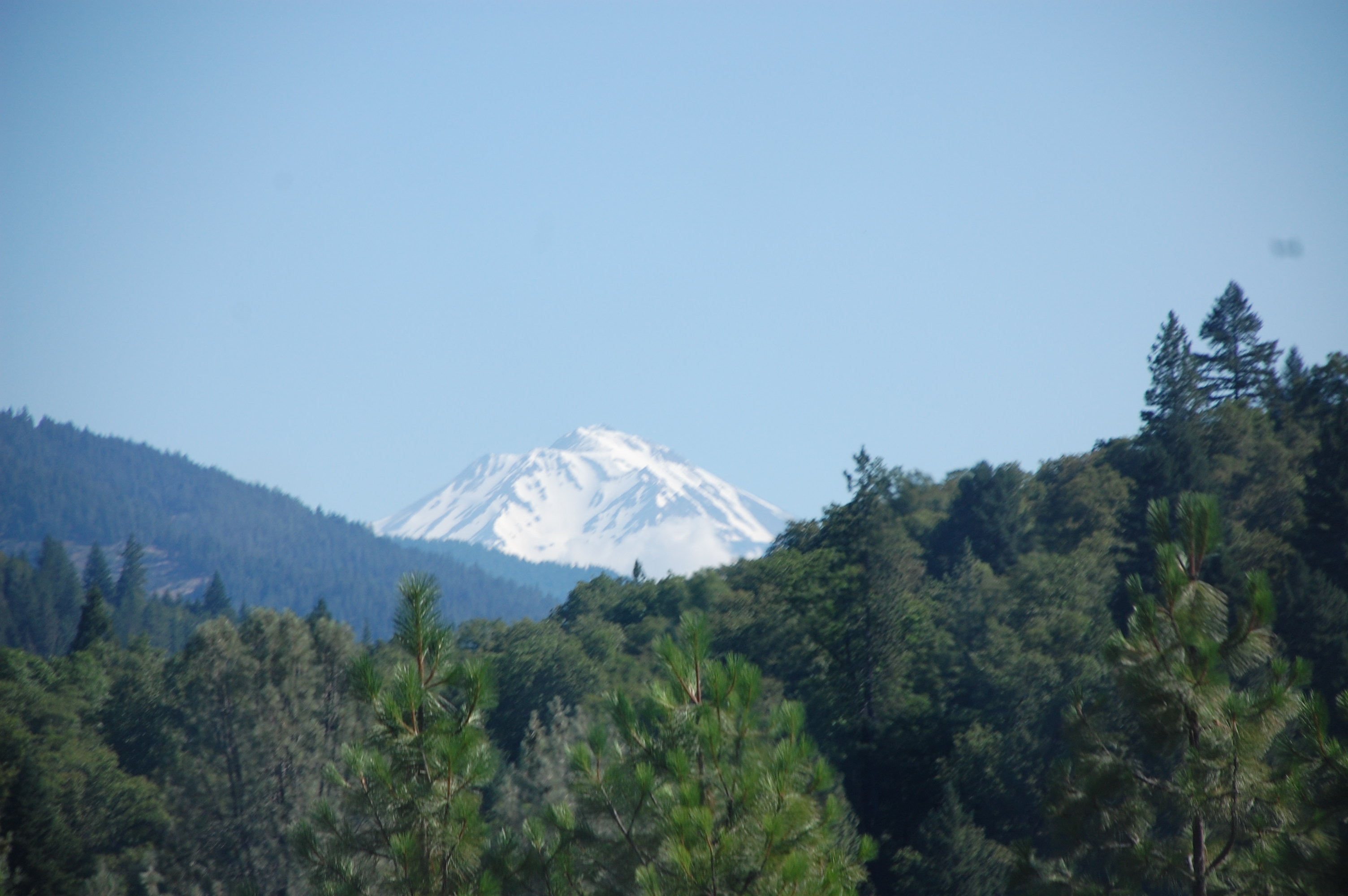
Mount Shasta
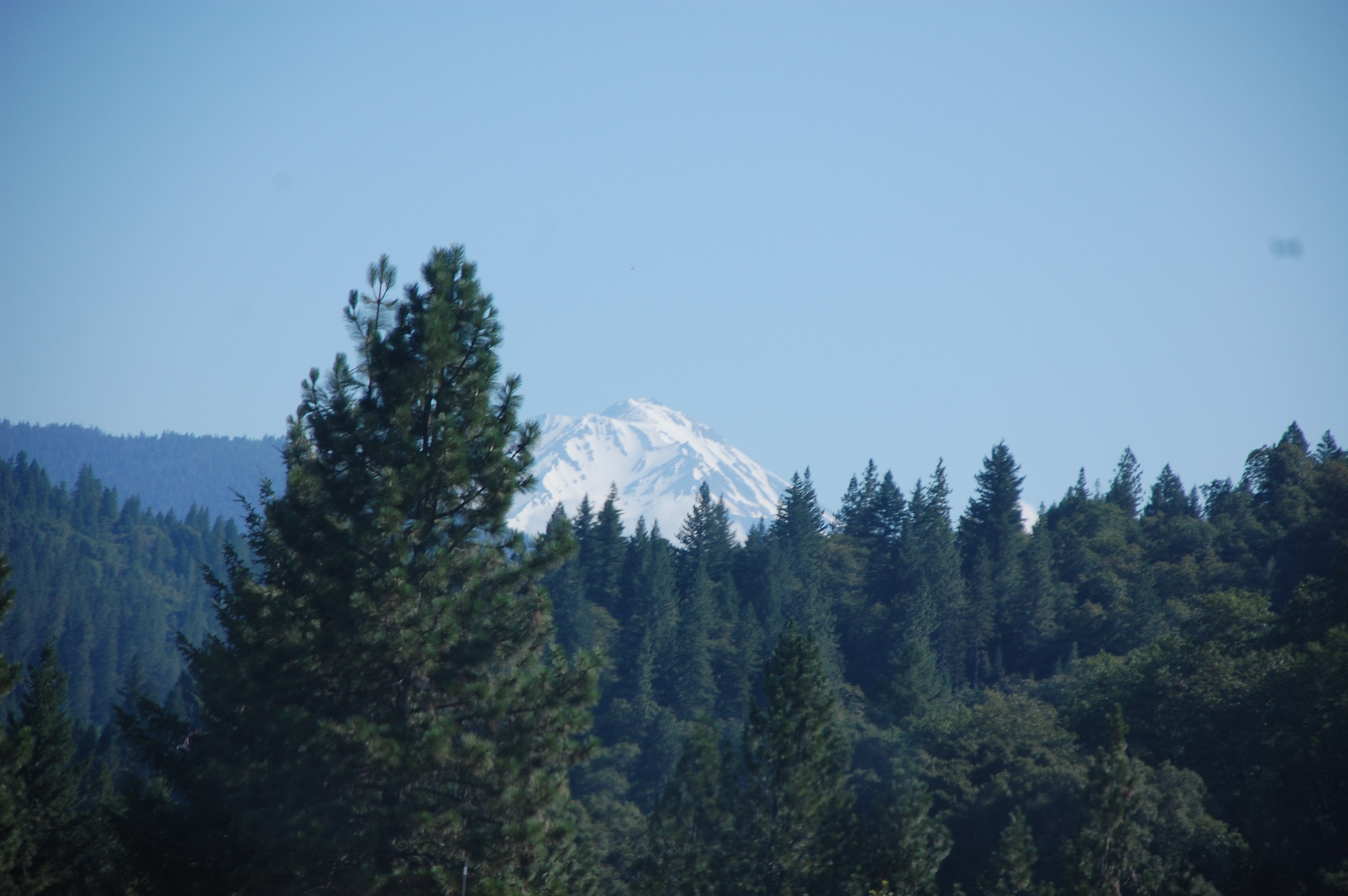
Mount Shasta
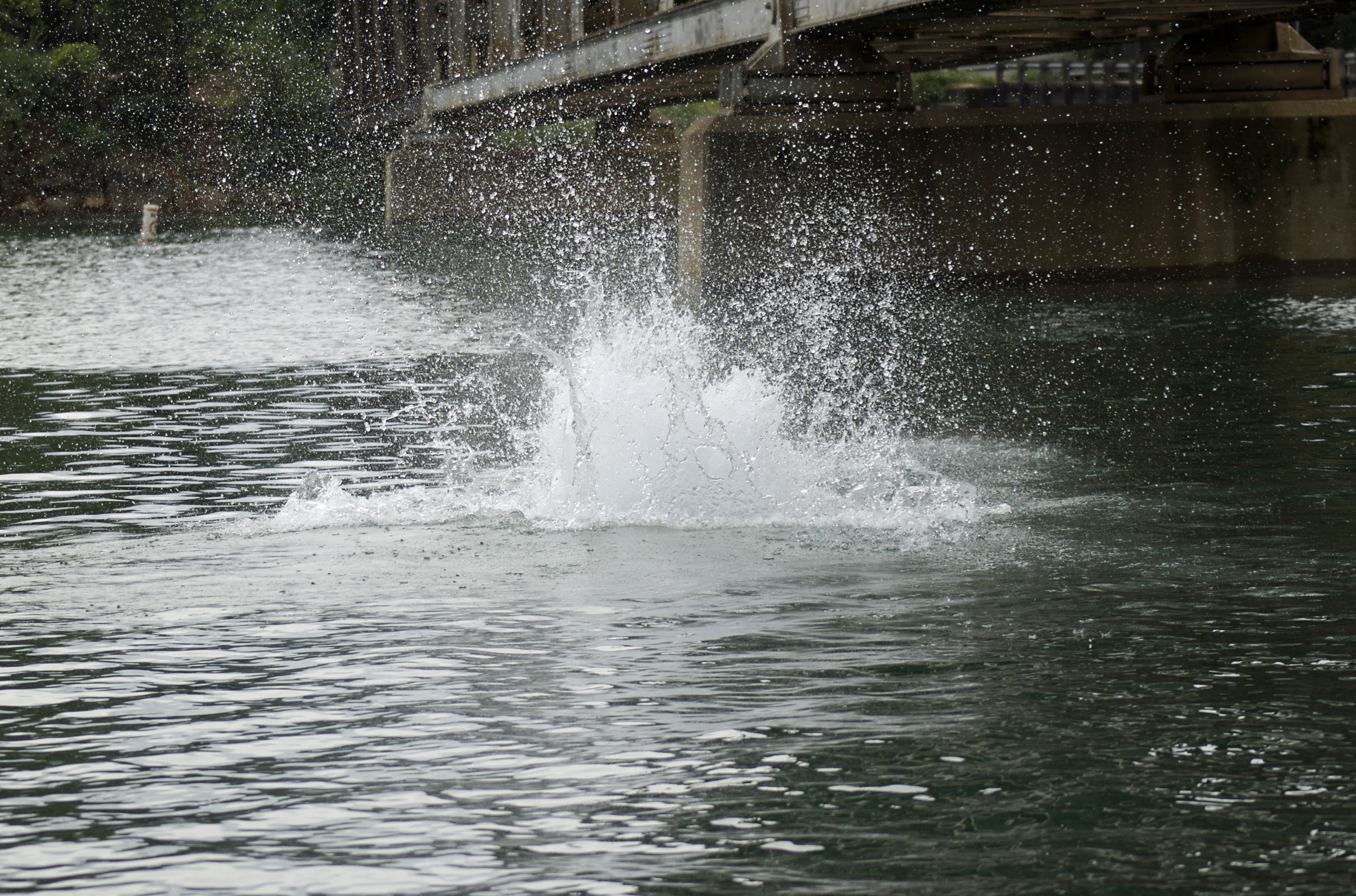
The Splash
Part of the old Pollock bridge at Sugarloaf Marina
Topographic Map of Dog Creek Rd, Lakehead, CA, USA
Find elevation by address:

Places near Dog Creek Rd, Lakehead, CA, USA:
Dog Creek
16833 Dog Creek Rd
Dog Creek Rd, Lakehead, CA, USA
Delta
Lamoine
Slate Creek Rd, Lakehead, CA, USA
Lakehead-lakeshore
Pollard Flat
18023 Pine St
20709 Doney St
Lakehead
20240 Lakeview Dr
20856 Antlers Rd
20241 Lakeview Dr
20265 Lakeview Dr
20242 Lakeview Dr
20216 Lakeview Dr
Gibson
20679 Antlers Rd
17660 Rivera Dr
Recent Searches:
- Elevation of Corso Fratelli Cairoli, 35, Macerata MC, Italy
- Elevation of Tallevast Rd, Sarasota, FL, USA
- Elevation of 4th St E, Sonoma, CA, USA
- Elevation of Black Hollow Rd, Pennsdale, PA, USA
- Elevation of Oakland Ave, Williamsport, PA, USA
- Elevation of Pedrógão Grande, Portugal
- Elevation of Klee Dr, Martinsburg, WV, USA
- Elevation of Via Roma, Pieranica CR, Italy
- Elevation of Tavkvetili Mountain, Georgia
- Elevation of Hartfords Bluff Cir, Mt Pleasant, SC, USA