Elevation of Dodge, NE, USA
Location: United States > Nebraska > Dodge County >
Longitude: -96.882811
Latitude: 41.7211147
Elevation: 427m / 1401feet
Barometric Pressure: 96KPa
Elevation Map:
Satellite Map:
Related Photos:
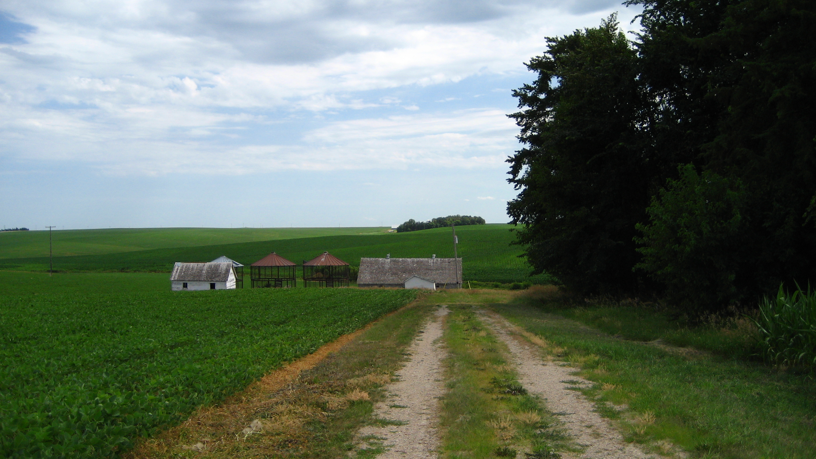
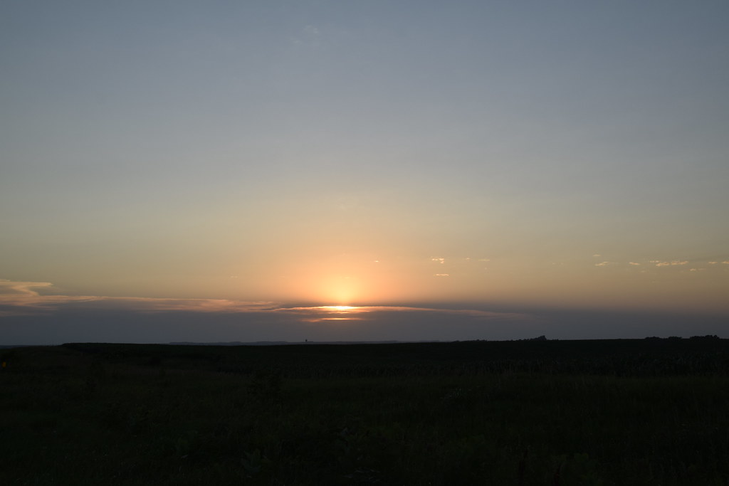
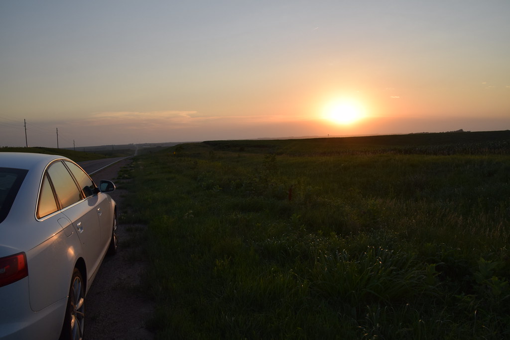
View from the road
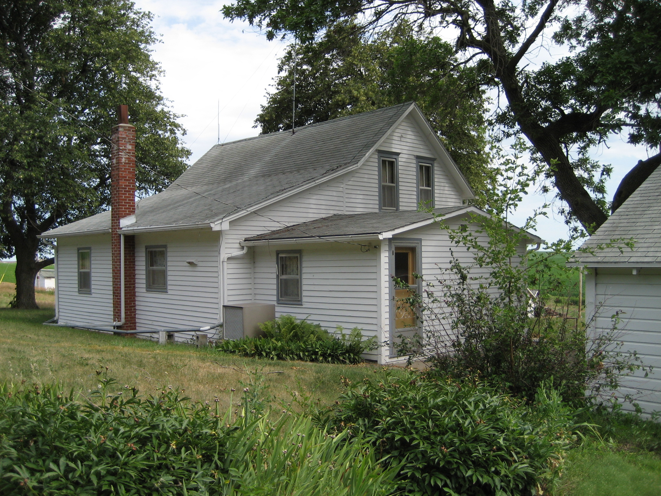
Farm house
20180628 204741 1SL6
20180628 204737 1SL6
20180628 204804 1SL6
20180628 204531 1SL6

20180628 204516 1SL6

20180628 204515 1SL6

20180628 204511 1SL6

20180628 204510 1SL6

20180628 204444 1SL6

20180628 204439 1SL6

Abandoned church interior

Zion Church cemetery

St. Aloysius Catholic Church - Aloys, NE
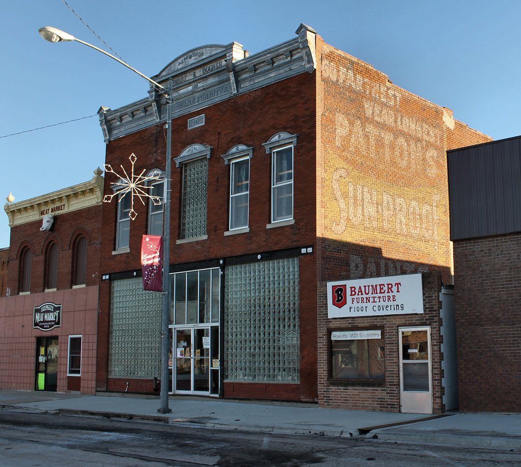
Baumert & Bogner Building - Howells, NE
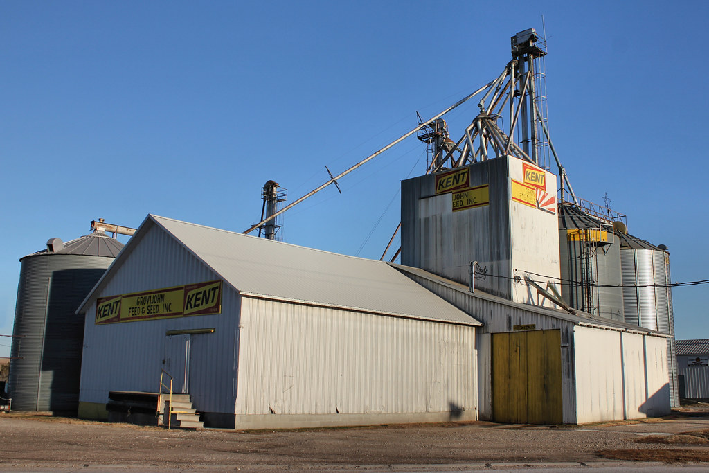
Grovijohn Feed & Seed - Howells, NE

Dodge Welcome Sign (Dodge, Nebraska)
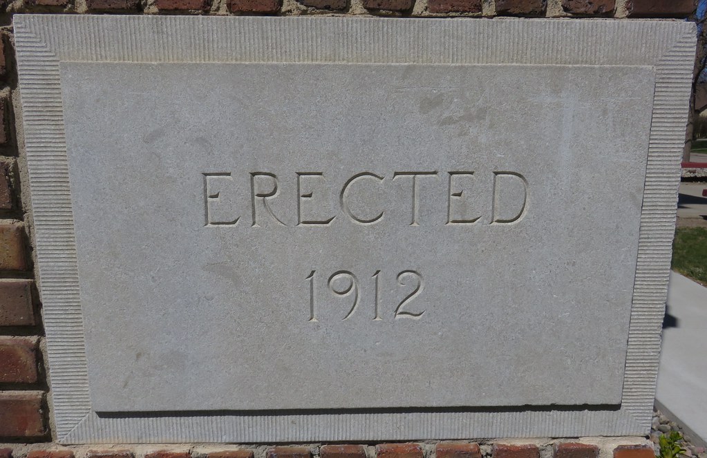
Dodge High School Cornerstone (Dodge, Nebraska)
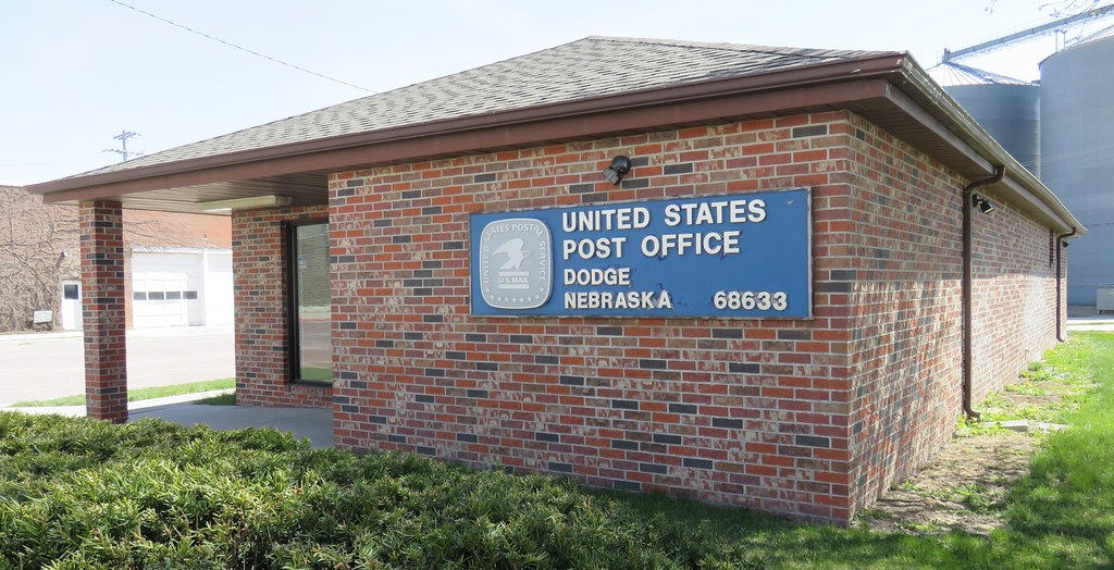
Post Office 68633 (Dodge, Nebraska)
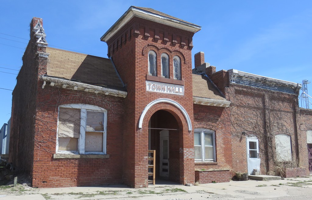
Old Dodge, Nebraska Town Hall
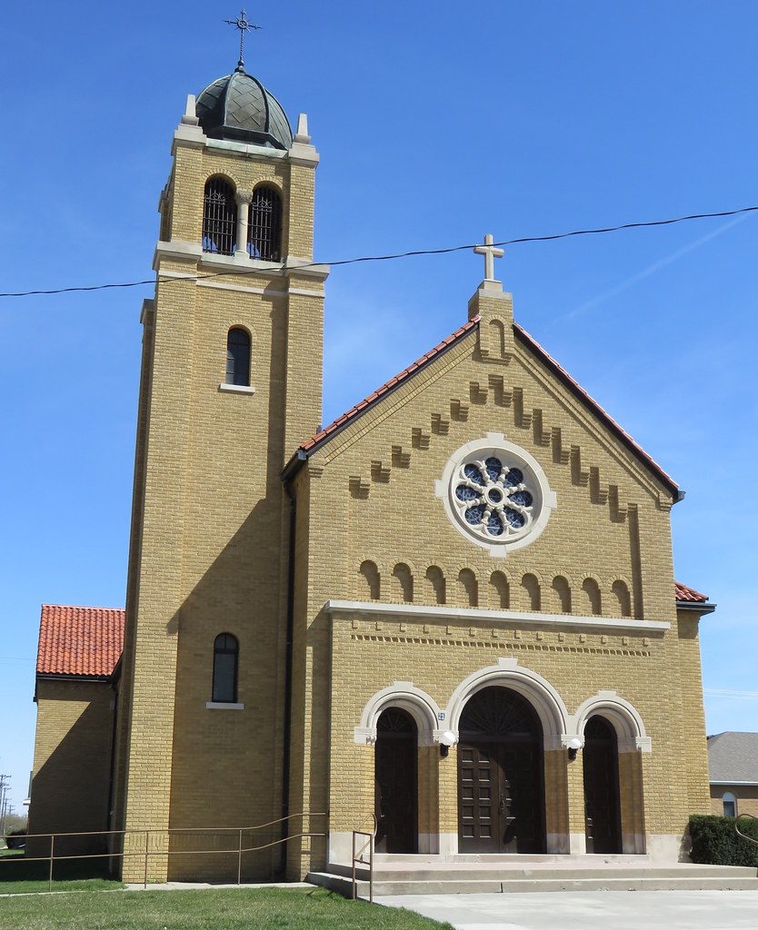
Saint Leo's Catholic Church (Snyder, Nebraska)
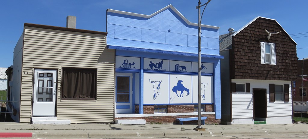
Storefront Block (Snyder, Nebraska)
Topographic Map of Dodge, NE, USA
Find elevation by address:

Places near Dodge, NE, USA:
30 Rangeline
Colfax County
341 W Park St
West Point
Main St, Beemer, NE, USA
Beemer
Scribner
Union
Dodge County
Cuming County
Beemer
Highway 30
530 W 13th St
140 E 8th St
North Bend
740 E 7th St
610 E 6th St
Morse Bluff
130 Ann St
2nd St, Morse Bluff, NE, USA
Recent Searches:
- Elevation of Corso Fratelli Cairoli, 35, Macerata MC, Italy
- Elevation of Tallevast Rd, Sarasota, FL, USA
- Elevation of 4th St E, Sonoma, CA, USA
- Elevation of Black Hollow Rd, Pennsdale, PA, USA
- Elevation of Oakland Ave, Williamsport, PA, USA
- Elevation of Pedrógão Grande, Portugal
- Elevation of Klee Dr, Martinsburg, WV, USA
- Elevation of Via Roma, Pieranica CR, Italy
- Elevation of Tavkvetili Mountain, Georgia
- Elevation of Hartfords Bluff Cir, Mt Pleasant, SC, USA