Elevation of Beemer, NE, USA
Location: United States > Nebraska > Cuming County >
Longitude: -96.856542
Latitude: 41.9724752
Elevation: 445m / 1460feet
Barometric Pressure: 96KPa
Elevation Map:
Satellite Map:
Related Photos:

2014-06-16_1724
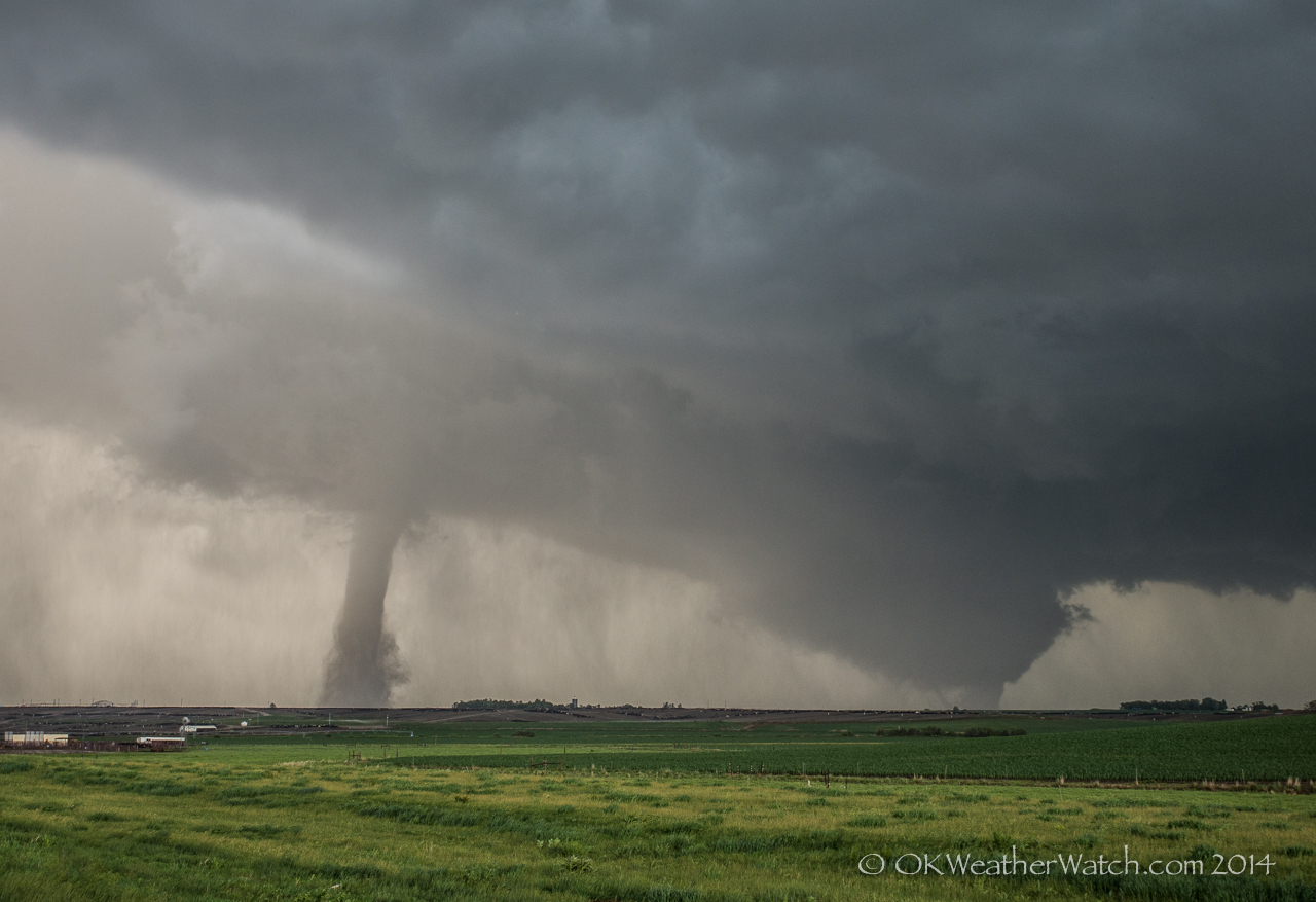
Wakefield, Nebraska Tornado

Twin Violent Tornadoes
IMG_4201.JPG

Grass along the Elkhorn River
IMG_4215.JPG
IMG_4213.JPG
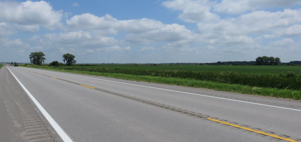
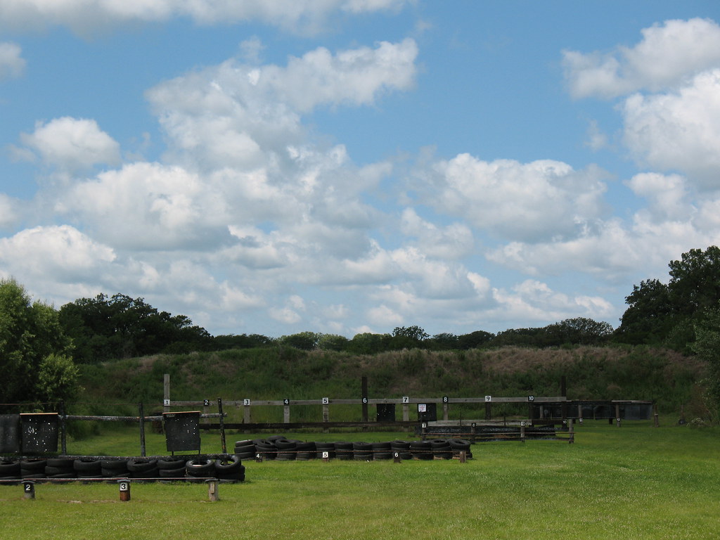
Eastern Nebraska Landscape (Cuming County, Nebraska)
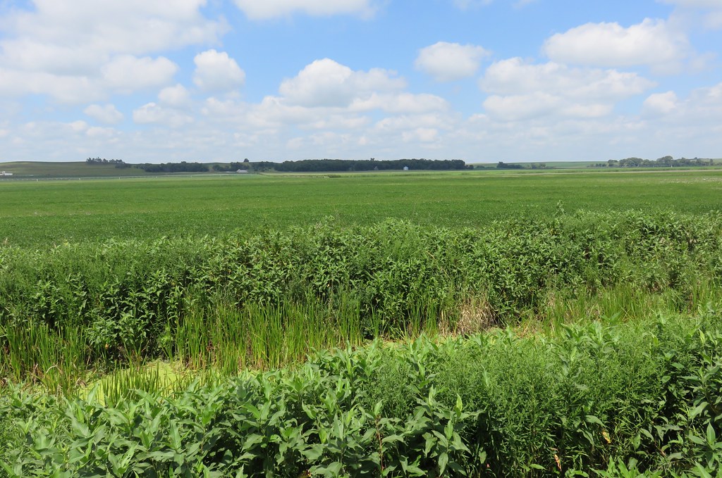
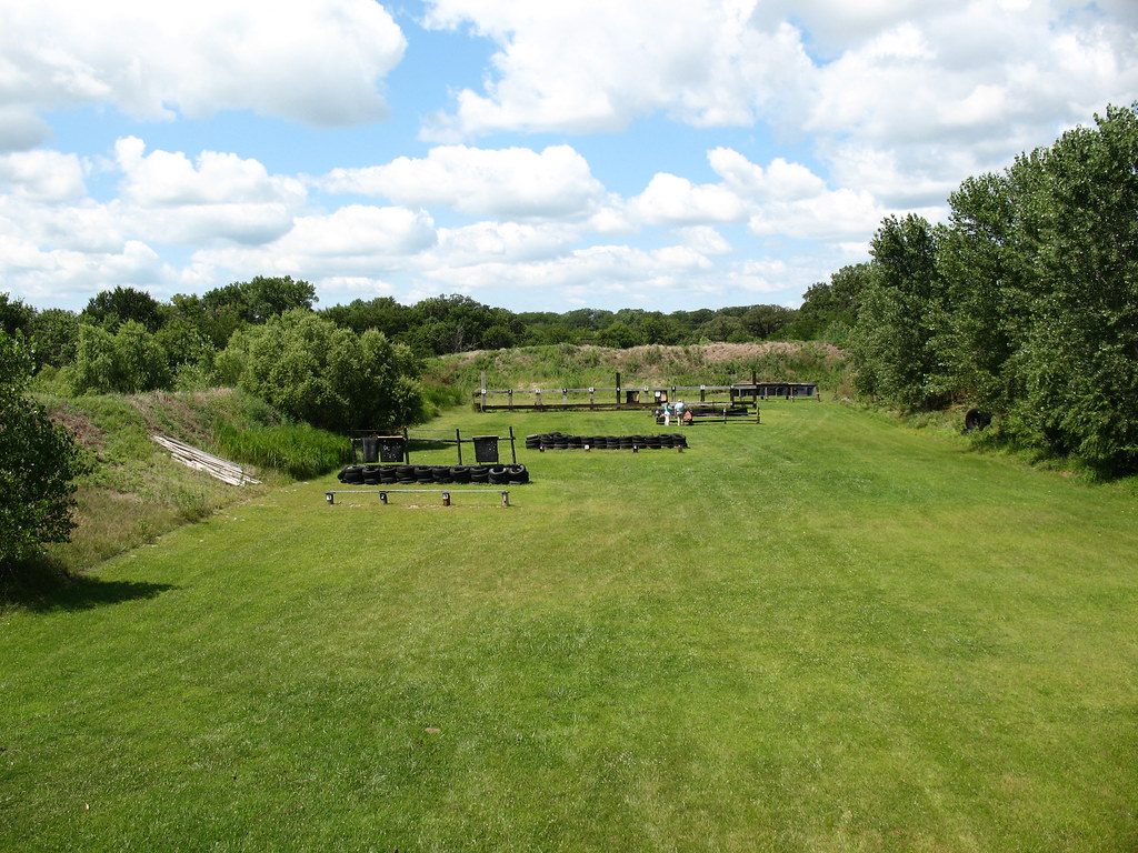
Eastern Nebraska Landscape (Stanton County, Nebraska)
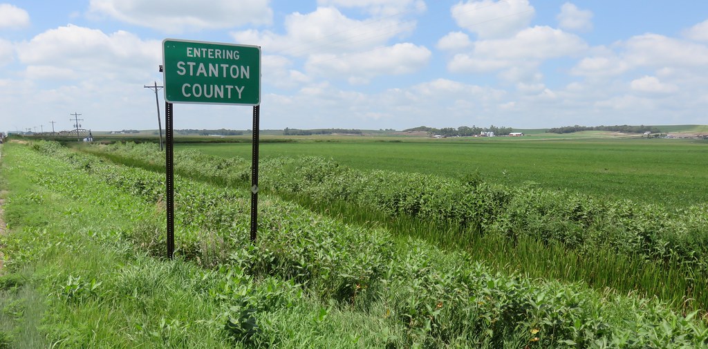
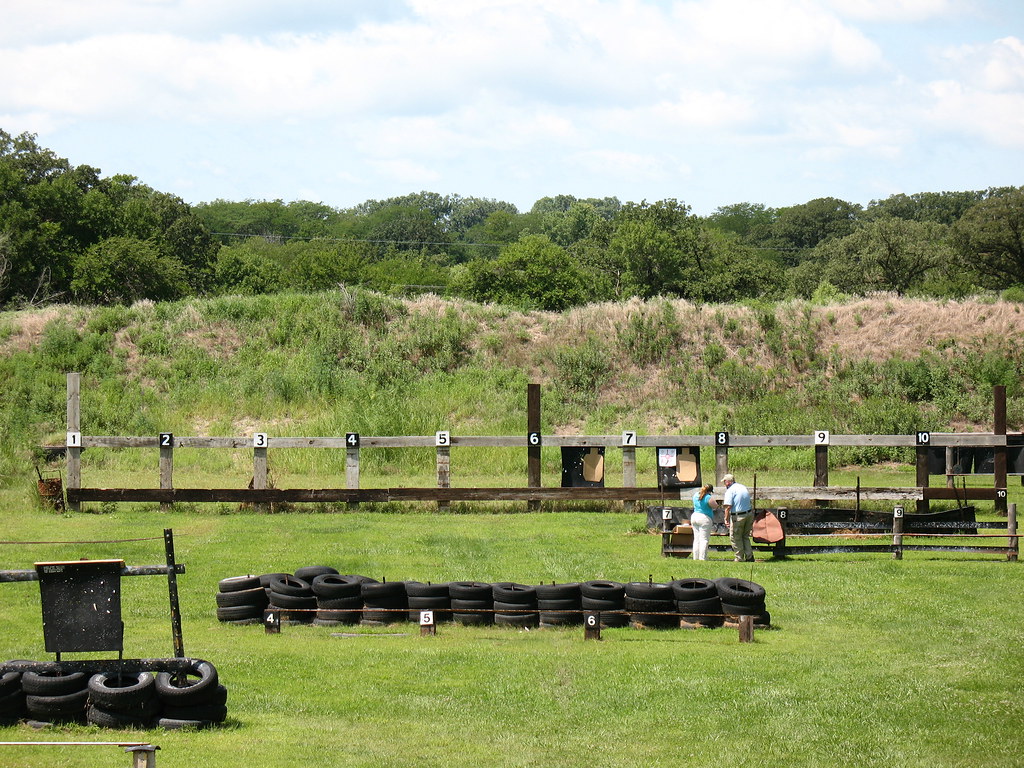
Entering Stanton County (Stanton County, Nebraska)
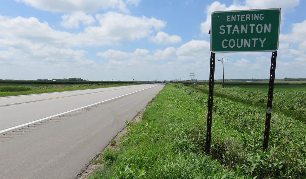
Entering Stanton County (Stanton County, Nebraska)
Topographic Map of Beemer, NE, USA
Find elevation by address:

Places in Beemer, NE, USA:
Places near Beemer, NE, USA:
Cuming County
Main St, Beemer, NE, USA
Beemer
Nebraska 16
Thayer
341 W Park St
West Point
Dodge
N Main St, Thurston, NE, USA
Thurston
30 Rangeline
21 Ne-32
21 Ne-32
Everett
Oakland
Scribner
Thurston County
Colfax County
Dodge County
N Main St, Lyons, NE, USA
Recent Searches:
- Elevation of Corso Fratelli Cairoli, 35, Macerata MC, Italy
- Elevation of Tallevast Rd, Sarasota, FL, USA
- Elevation of 4th St E, Sonoma, CA, USA
- Elevation of Black Hollow Rd, Pennsdale, PA, USA
- Elevation of Oakland Ave, Williamsport, PA, USA
- Elevation of Pedrógão Grande, Portugal
- Elevation of Klee Dr, Martinsburg, WV, USA
- Elevation of Via Roma, Pieranica CR, Italy
- Elevation of Tavkvetili Mountain, Georgia
- Elevation of Hartfords Bluff Cir, Mt Pleasant, SC, USA