Elevation map of Doda
Longitude: 75.6208088
Latitude: 33.0469201
Elevation: 1413m / 4636feet
Barometric Pressure: 85KPa
Elevation Map:
Satellite Map:
Related Photos:

Winter Relief, Ramakrishna Mission, Jammu, January 2019

Winter Relief, Ramakrishna Mission, Jammu, January 2019
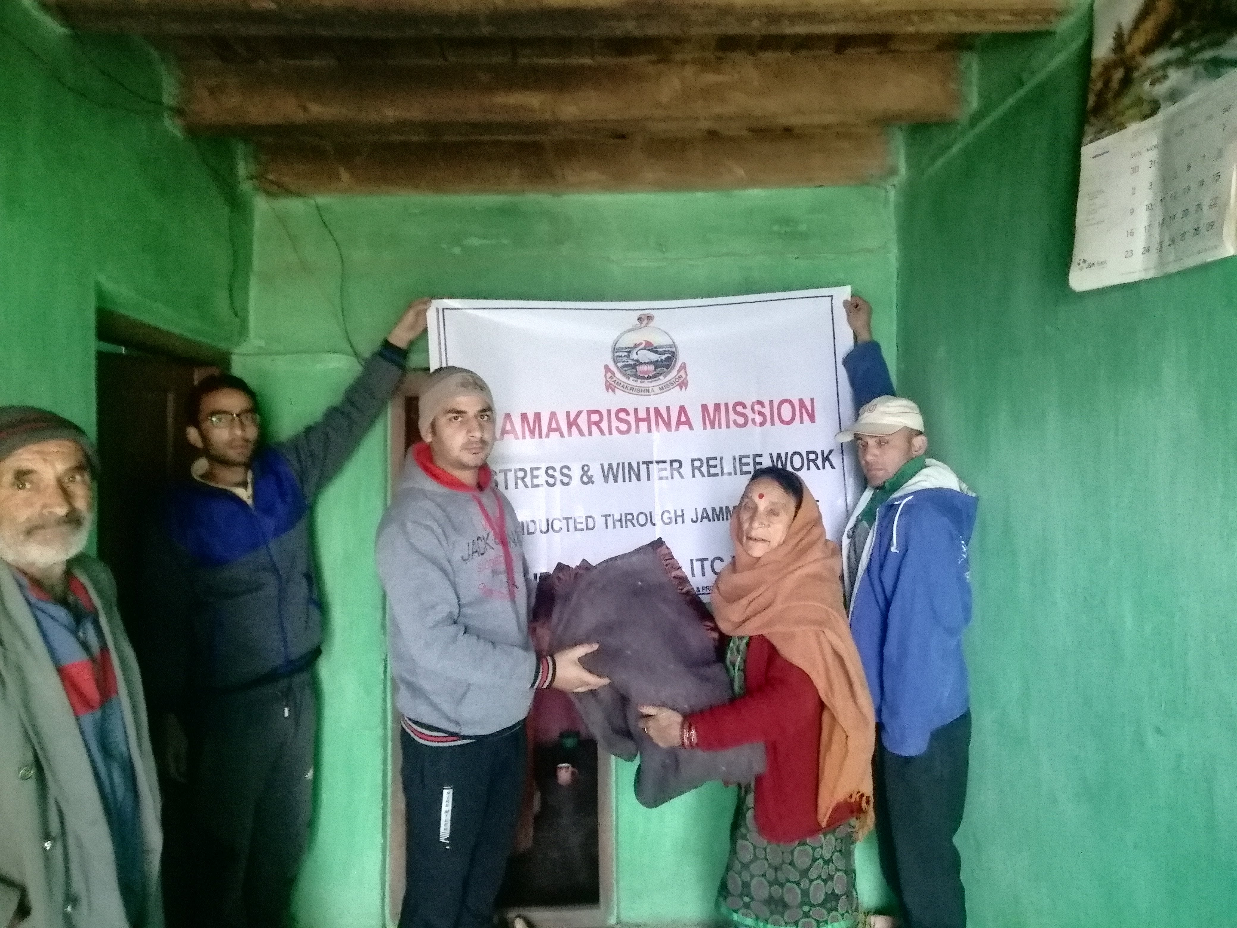
Winter Relief, Ramakrishna Mission, Jammu, January 2019

#tinyplanet #road #trees #mountains #trees #paddri #bhaderwah #jammu #kashmir
Topographic Map of Doda
Find elevation by address:

Places near Doda:
Bhaderwah Fire Station
Doda
Bhaderwah - Chamba Road
Patnitop
Ganote
Ramban
Udhampur
Udhampur Bus Stand Road
Leray
Kokernag
Jawahar Tunnel
J&k Bank
Cantonment Board Bakloh
Dhar Khurd
Dhar Kalan
Kathua
Vaishno Devi
Domel
Katra
Jammu Tawi
Recent Searches:
- Elevation of Corso Fratelli Cairoli, 35, Macerata MC, Italy
- Elevation of Tallevast Rd, Sarasota, FL, USA
- Elevation of 4th St E, Sonoma, CA, USA
- Elevation of Black Hollow Rd, Pennsdale, PA, USA
- Elevation of Oakland Ave, Williamsport, PA, USA
- Elevation of Pedrógão Grande, Portugal
- Elevation of Klee Dr, Martinsburg, WV, USA
- Elevation of Via Roma, Pieranica CR, Italy
- Elevation of Tavkvetili Mountain, Georgia
- Elevation of Hartfords Bluff Cir, Mt Pleasant, SC, USA