Elevation of Division No. 1, Subd. C, NL A0B, Canada
Location: Canada > Newfoundland And Labrador > Division No. 1 >
Longitude: -53.975014
Latitude: 47.0268102
Elevation: 230m / 755feet
Barometric Pressure: 99KPa
Elevation Map:
Satellite Map:
Related Photos:
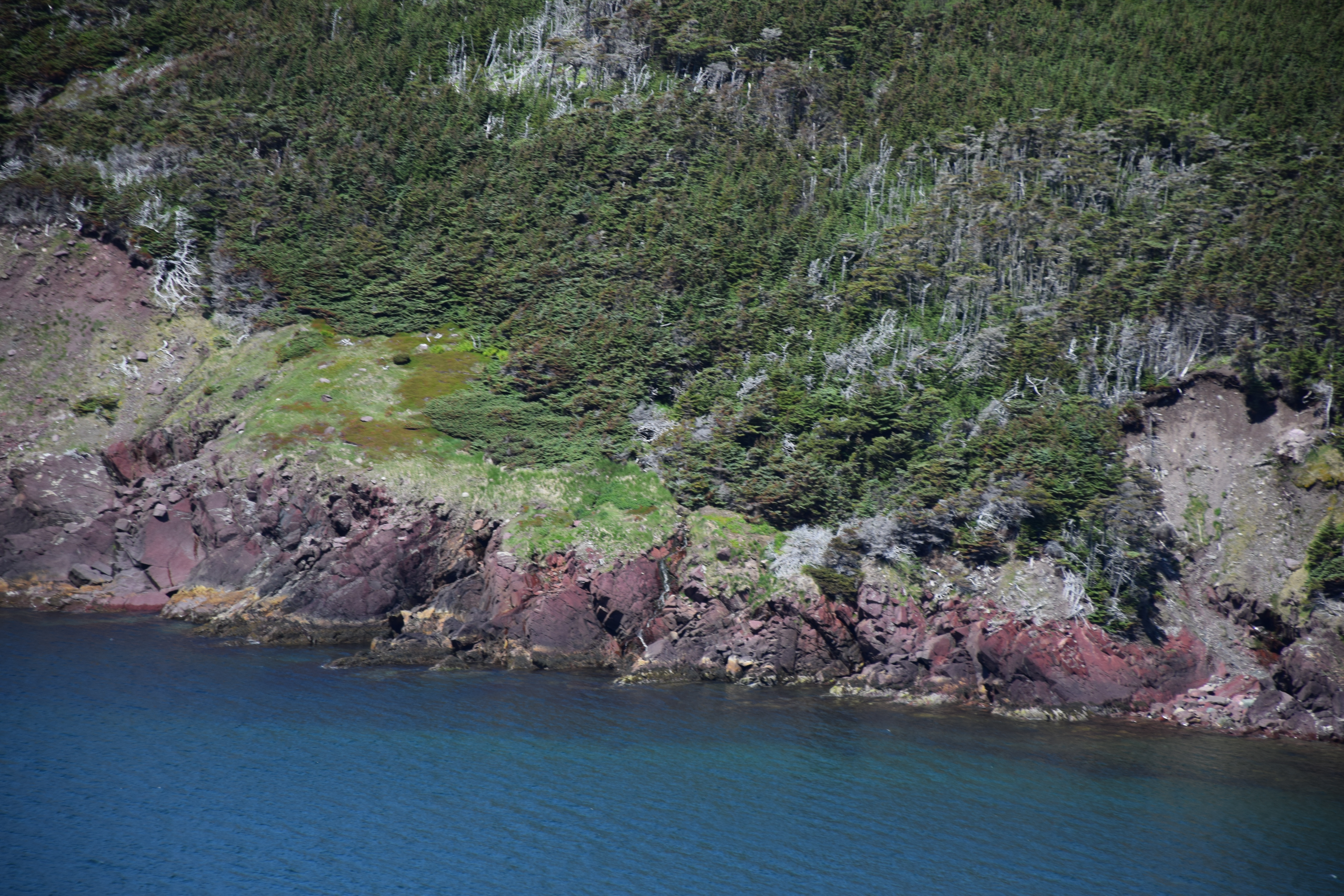
Near Ship Cove, Newfoundland

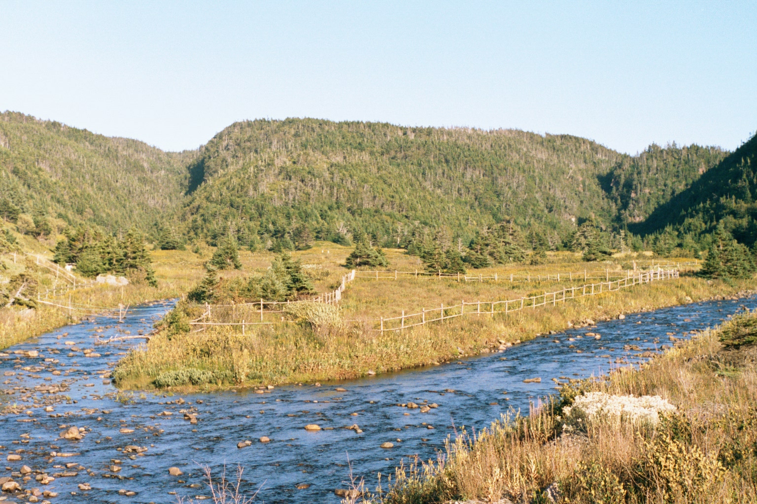
Great Barasway

Highway 100 Newfoundland
Highway 100 Newfoundland
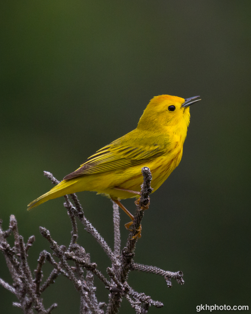
Yellow Warbler

Highway 100 Newfoundland

Gooseberry Cove

Highway 100 Newfoundland
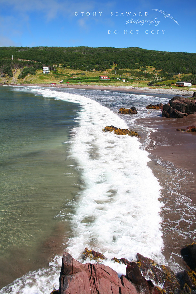
Gooseberry Cove

Highway 100 Newfoundland

Highway 100 Newfoundland

Yellow Warbler

Highway 100 Newfoundland

Placentia (11)

Highway 100 Newfoundland

NL-100, Newfoundland (Canada)

Highway 100 Newfoundland
Topographic Map of Division No. 1, Subd. C, NL A0B, Canada
Find elevation by address:

Places in Division No. 1, Subd. C, NL A0B, Canada:
Places near Division No. 1, Subd. C, NL A0B, Canada:
Ship Cove
Placentia
26 Swans Rd
NL-, Placentia, NL A0B 2Y0, Canada
Saint Bride's
Healey's Store
Dunville
Argentia
Admirals Beach
NL-94, Riverhead, NL A0A 3P0, Canada
North Harbour
Saint Mary's
Division No. 1
Long Harbour-mount Arlington Heights
72 King's Point Rd, Long Harbour, NL A0B 2J0, Canada
Main Rd, Trepassey, NL A0A 4B0, Canada
Long Harbour
NL-93, North Harbour, NL A0B 2V0, Canada
Saint Vincent's-st. Stephen's-peter's River
Colinet
Recent Searches:
- Elevation of Corso Fratelli Cairoli, 35, Macerata MC, Italy
- Elevation of Tallevast Rd, Sarasota, FL, USA
- Elevation of 4th St E, Sonoma, CA, USA
- Elevation of Black Hollow Rd, Pennsdale, PA, USA
- Elevation of Oakland Ave, Williamsport, PA, USA
- Elevation of Pedrógão Grande, Portugal
- Elevation of Klee Dr, Martinsburg, WV, USA
- Elevation of Via Roma, Pieranica CR, Italy
- Elevation of Tavkvetili Mountain, Georgia
- Elevation of Hartfords Bluff Cir, Mt Pleasant, SC, USA