Elevation of NL-94, Riverhead, NL A0A 3P0, Canada
Location: Canada > Newfoundland And Labrador > Division No. 1 > Admirals Beach >
Longitude: -53.640436
Latitude: 47.0060855
Elevation: 16m / 52feet
Barometric Pressure: 101KPa
Elevation Map:
Satellite Map:
Related Photos:

St Marys Newfoundland

St Marys Newfoundland
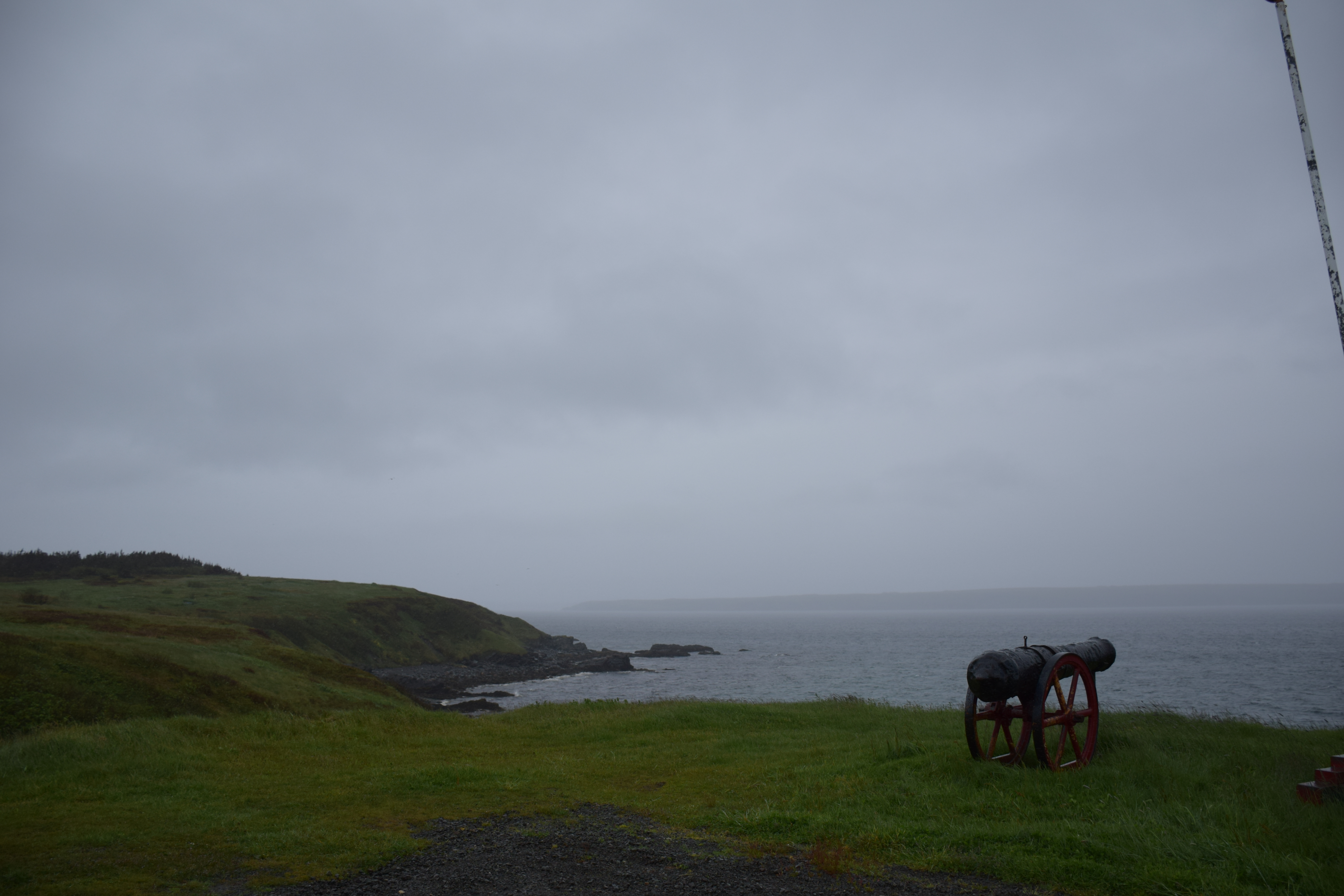
St Marys Newfoundland

FOUDUM IMG_8641

Oderin Mini-Village

Minature Oderin Harbour
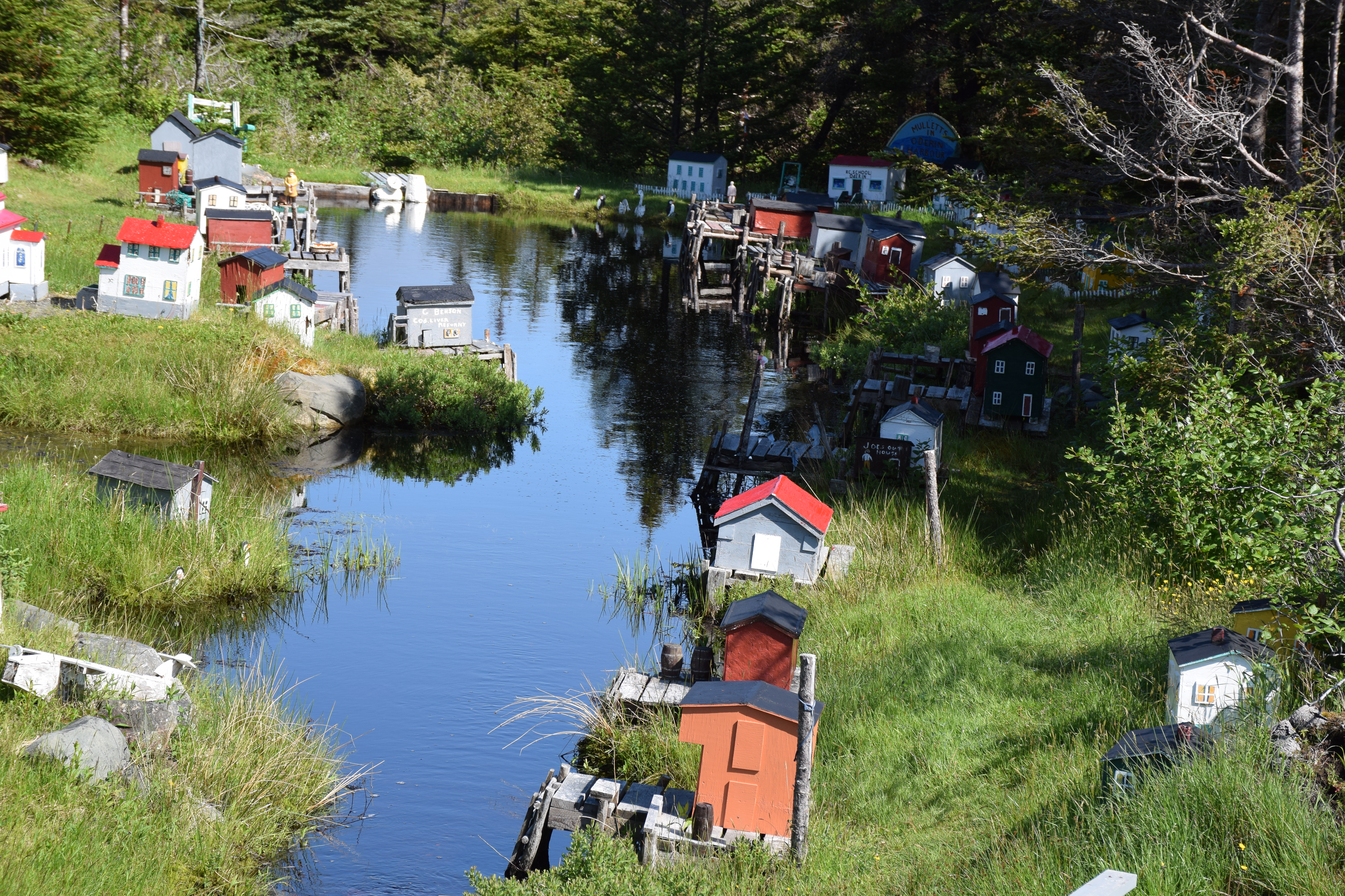
Minature Oderin Harbour

Waterfall in Newfoundland
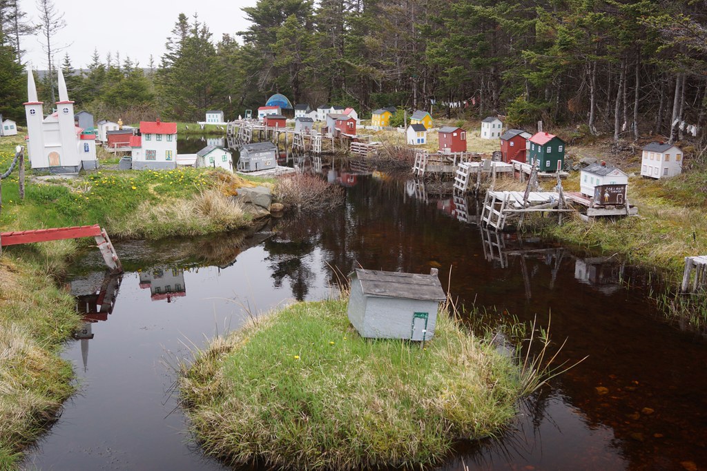
NLL 26600 Model Village north of Saint Mary's

2016-05-20 18.26.13
Topographic Map of NL-94, Riverhead, NL A0A 3P0, Canada
Find elevation by address:

Places near NL-94, Riverhead, NL A0A 3P0, Canada:
Admirals Beach
Division No. 1
Saint Mary's
North Harbour
Saint Joseph's
16 NL-94, Riverhead, NL A0A 3P0, Canada
Dunphys Pond
NL-93, North Harbour, NL A0B 2V0, Canada
7 NL-91, Mount Carmel, NL A0B 2M0, Canada
Colinet
Main Rd, Trepassey, NL A0A 4B0, Canada
75 NL-90, Trepassey, NL A0A 4B0, Canada
Saint Vincent's-st. Stephen's-peter's River
Peter's River Road
Division No. 1, Subd. X
Division No. 1, Subd. C
Dunville
Saint Shott's
26 Swans Rd
Placentia
Recent Searches:
- Elevation of Corso Fratelli Cairoli, 35, Macerata MC, Italy
- Elevation of Tallevast Rd, Sarasota, FL, USA
- Elevation of 4th St E, Sonoma, CA, USA
- Elevation of Black Hollow Rd, Pennsdale, PA, USA
- Elevation of Oakland Ave, Williamsport, PA, USA
- Elevation of Pedrógão Grande, Portugal
- Elevation of Klee Dr, Martinsburg, WV, USA
- Elevation of Via Roma, Pieranica CR, Italy
- Elevation of Tavkvetili Mountain, Georgia
- Elevation of Hartfords Bluff Cir, Mt Pleasant, SC, USA