Elevation of 72 King's Point Rd, Long Harbour, NL A0B 2J0, Canada
Location: Canada > Newfoundland And Labrador > Division No. 1 > Long Harbour-mount Arlington Heights > Long Harbour >
Longitude: -53.813551
Latitude: 47.4329394
Elevation: 0m / 0feet
Barometric Pressure: 101KPa
Elevation Map:
Satellite Map:
Related Photos:
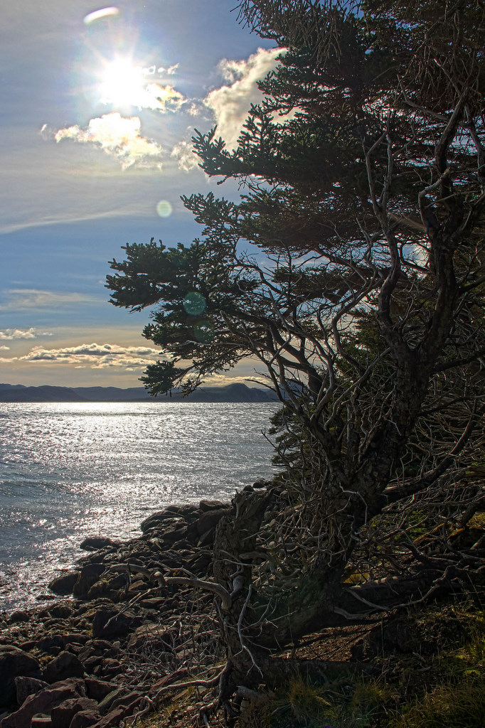
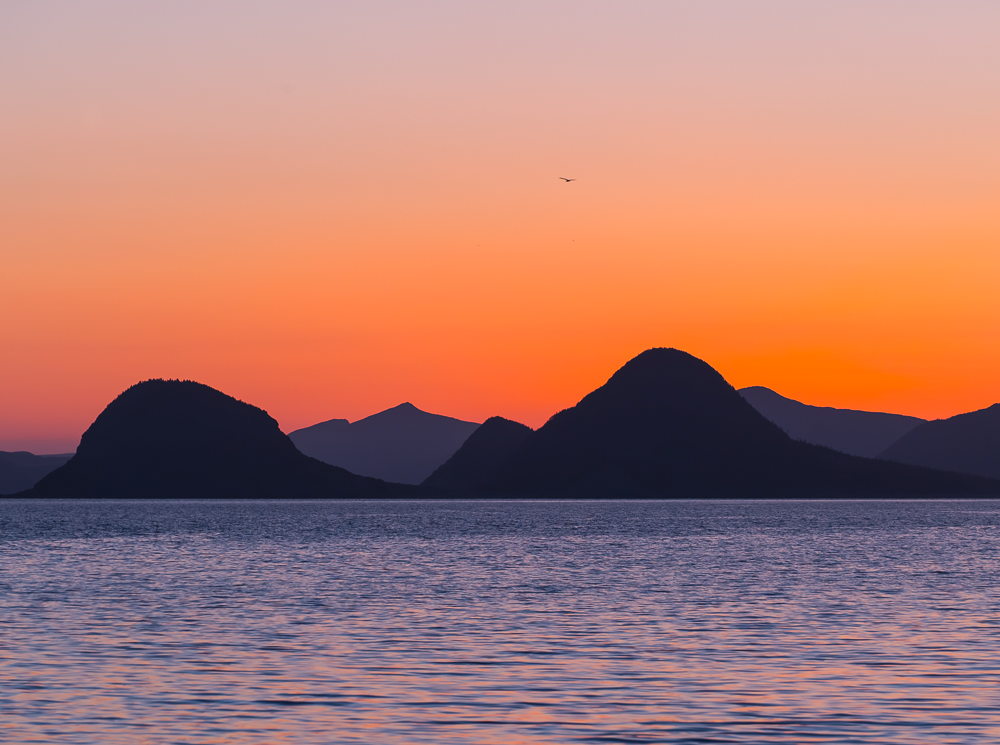
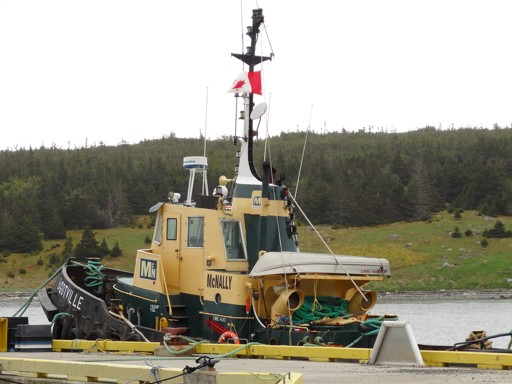
Placentia Bay
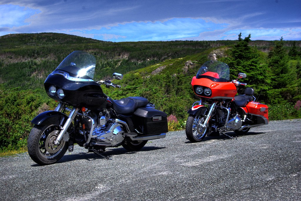
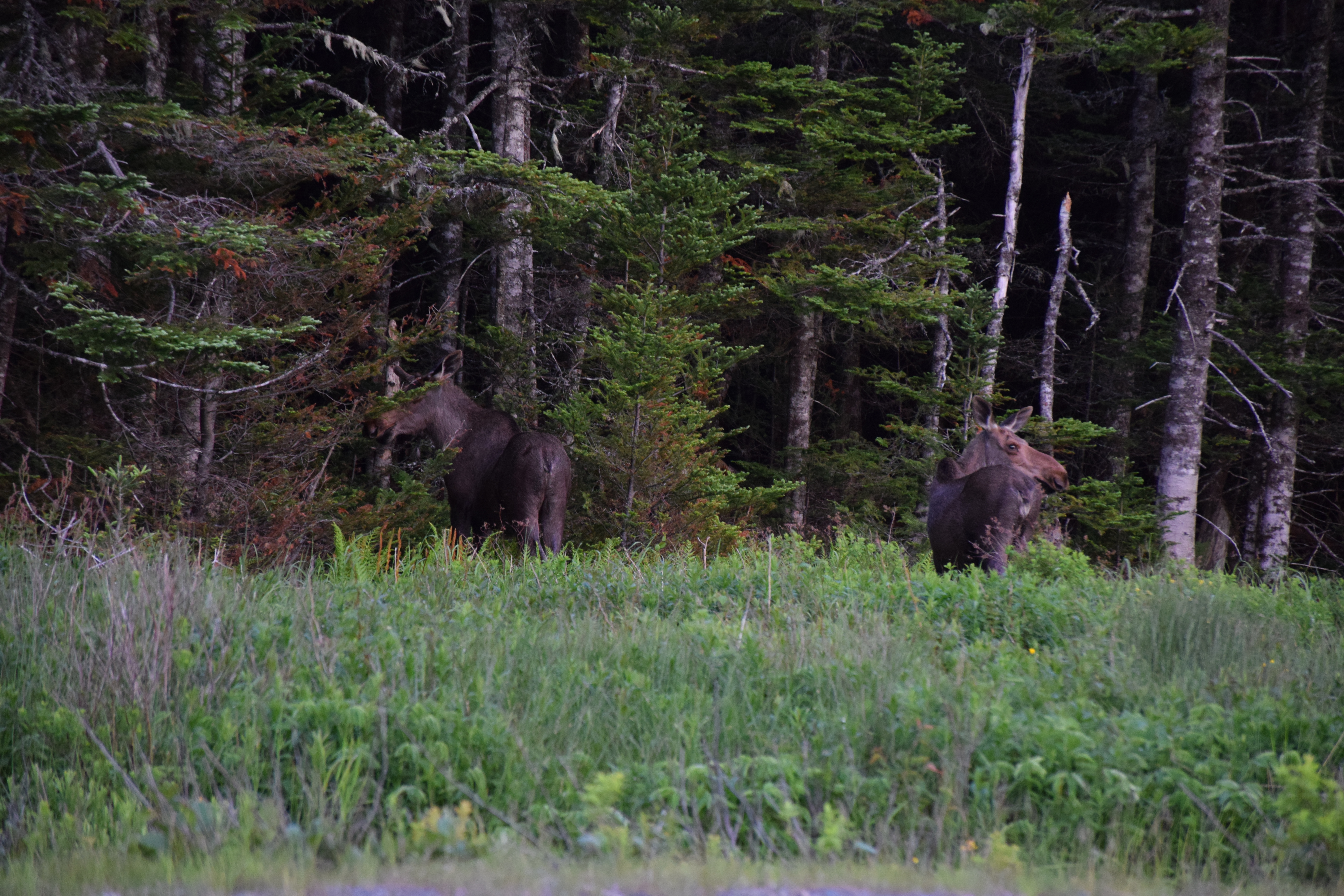
Road Glides
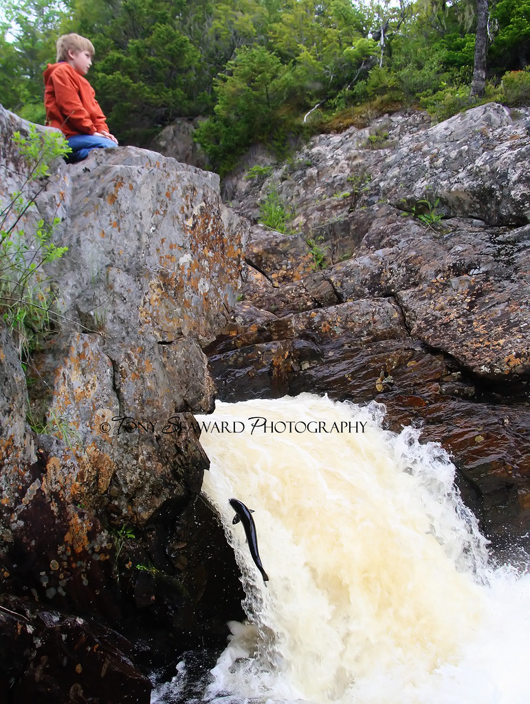
Benjamin waiting for the Salmon
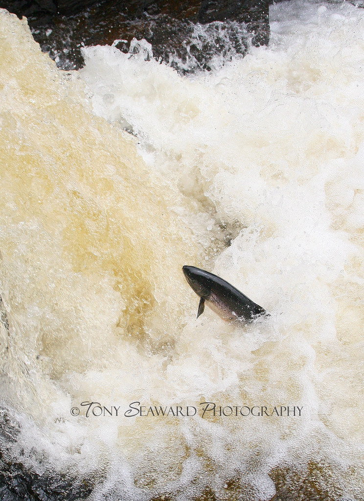
Salmon on Northeast River
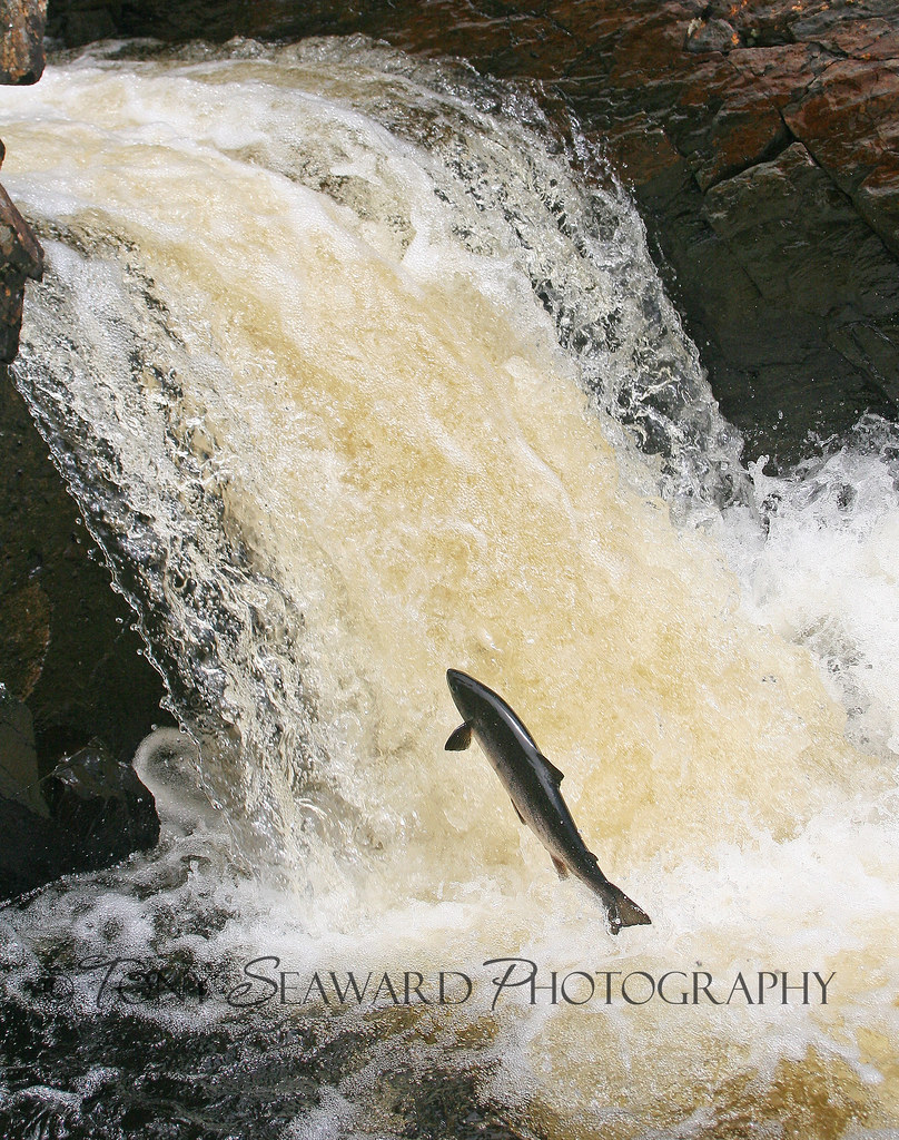
Salmon on Northeast River
Chapel Arm
Highway 100 Newfoundland
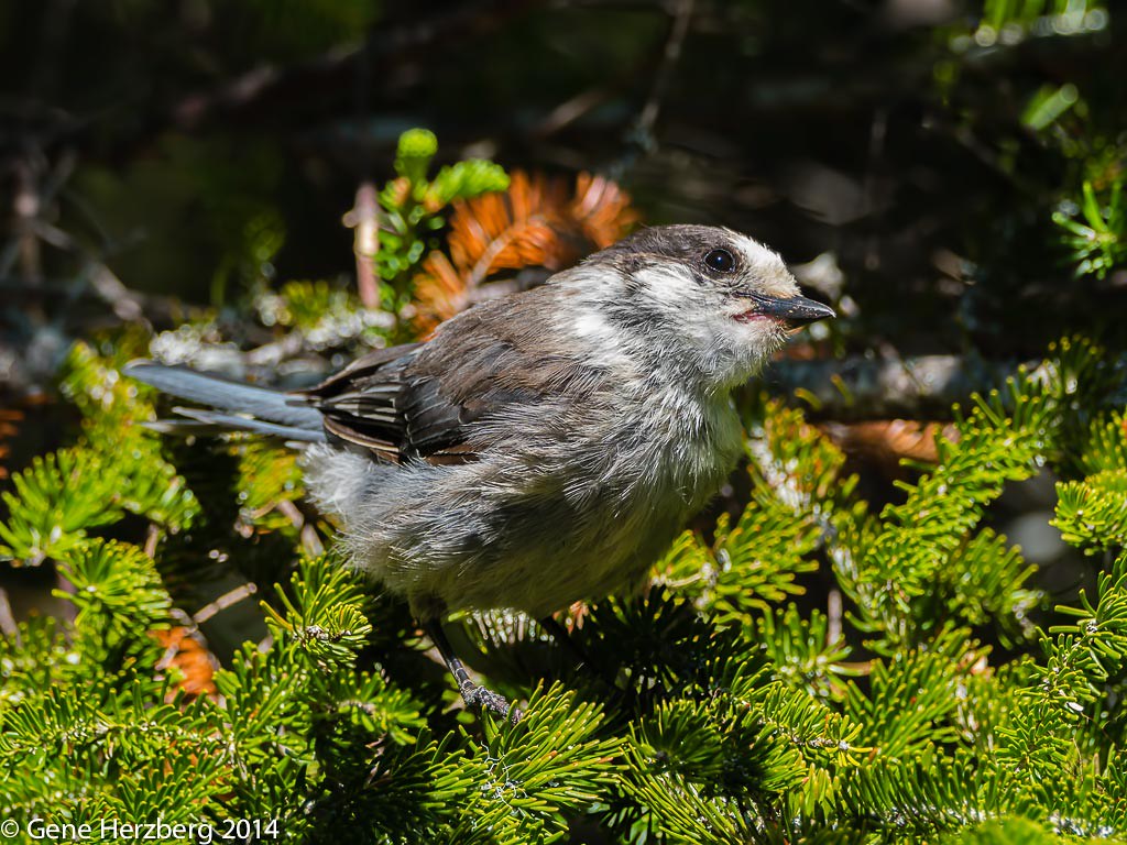
gray-jay
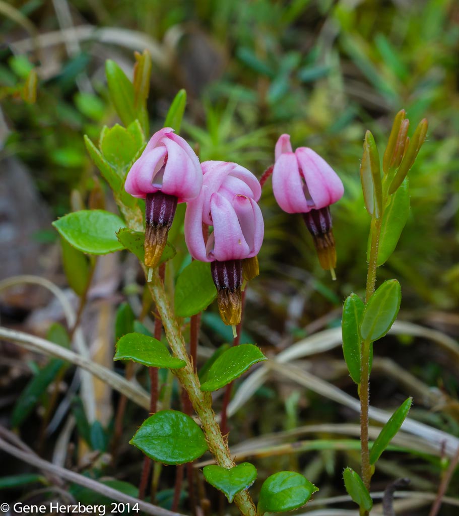
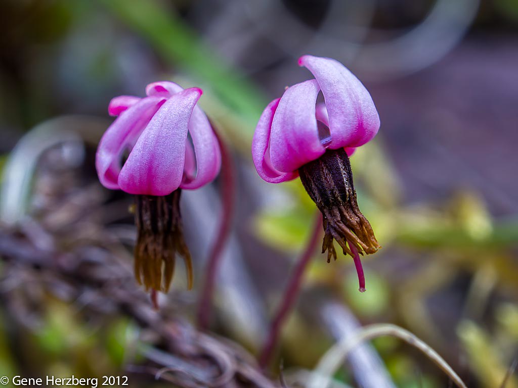
Small Cranberry 2
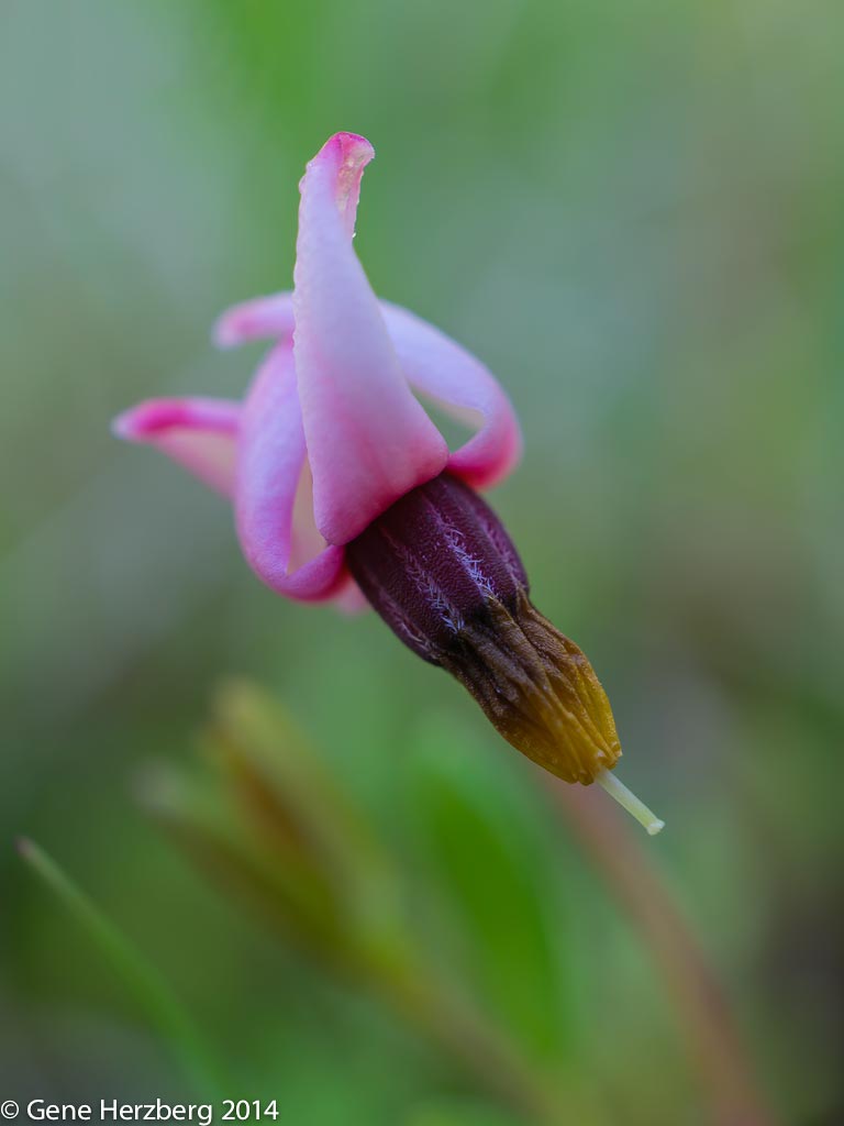
Small Cranberry 1
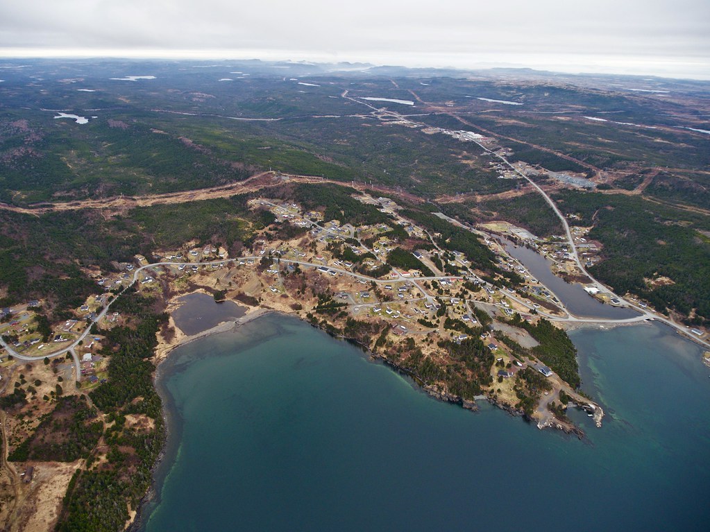
Argentia Harbour1
#longharbour #lhpp
568B6351.jpg

568B6372.jpg
568B6422.jpg
568B6435.jpg
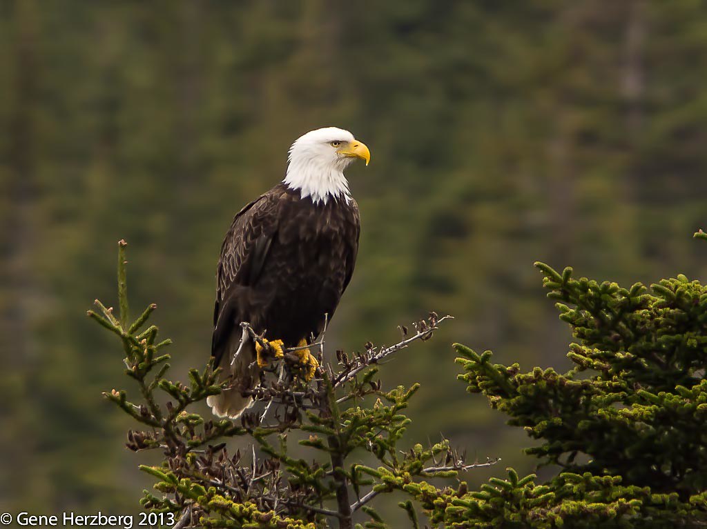
Bald Eagle
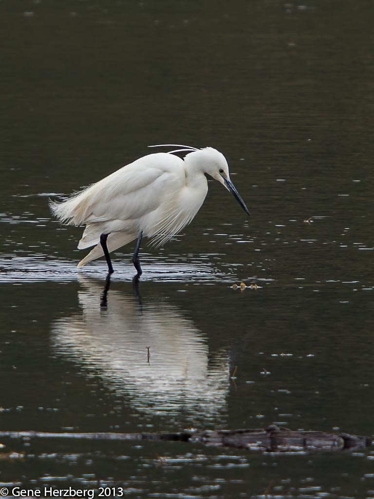
little egret
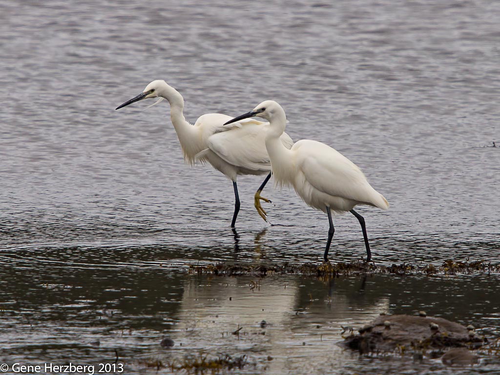
little egrets
Argentia (4)
small-cranberry
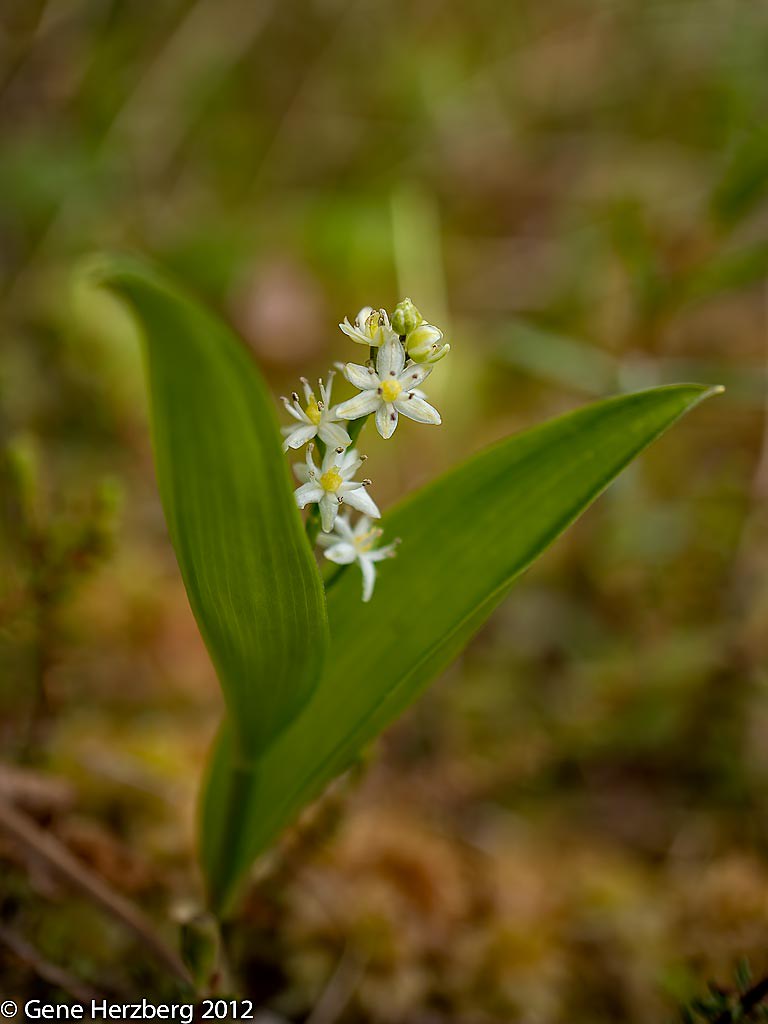
three-leaved-false-solomon's-seal
Topographic Map of 72 King's Point Rd, Long Harbour, NL A0B 2J0, Canada
Find elevation by address:

Places near 72 King's Point Rd, Long Harbour, NL A0B 2J0, Canada:
Long Harbour-mount Arlington Heights
Long Harbour
Division No. 1, Subd. A
Dunville
53 NL-1, Chance Cove, NL A0B 1K0, Canada
Bellevue
Argentia
26 Swans Rd
Healey's Store
Placentia
96 Spread Eagle Rd, Arnold's Cove, NL A0B 1A0, Canada
Blaketown
Division No. 1, Subd. Y
South Dildo
23 NL-80, South Dildo, NL A0B 1R0, Canada
156 Front Rd
Division No. 1, Subd. X
Dildo
Broad Cove
36 Trinity Rd South 80, Broad Cove, NL A0A 1L0, Canada
Recent Searches:
- Elevation of Corso Fratelli Cairoli, 35, Macerata MC, Italy
- Elevation of Tallevast Rd, Sarasota, FL, USA
- Elevation of 4th St E, Sonoma, CA, USA
- Elevation of Black Hollow Rd, Pennsdale, PA, USA
- Elevation of Oakland Ave, Williamsport, PA, USA
- Elevation of Pedrógão Grande, Portugal
- Elevation of Klee Dr, Martinsburg, WV, USA
- Elevation of Via Roma, Pieranica CR, Italy
- Elevation of Tavkvetili Mountain, Georgia
- Elevation of Hartfords Bluff Cir, Mt Pleasant, SC, USA