Elevation of Dill Rd, Hamilton, MS, USA
Location: United States > Mississippi > Monroe County > Hamilton >
Longitude: -88.436947
Latitude: 33.791128
Elevation: 81m / 266feet
Barometric Pressure: 100KPa
Elevation Map:
Satellite Map:
Related Photos:

Ward Coleman, Aberdeen, Mississippi
Fast friends

Storm clouds...
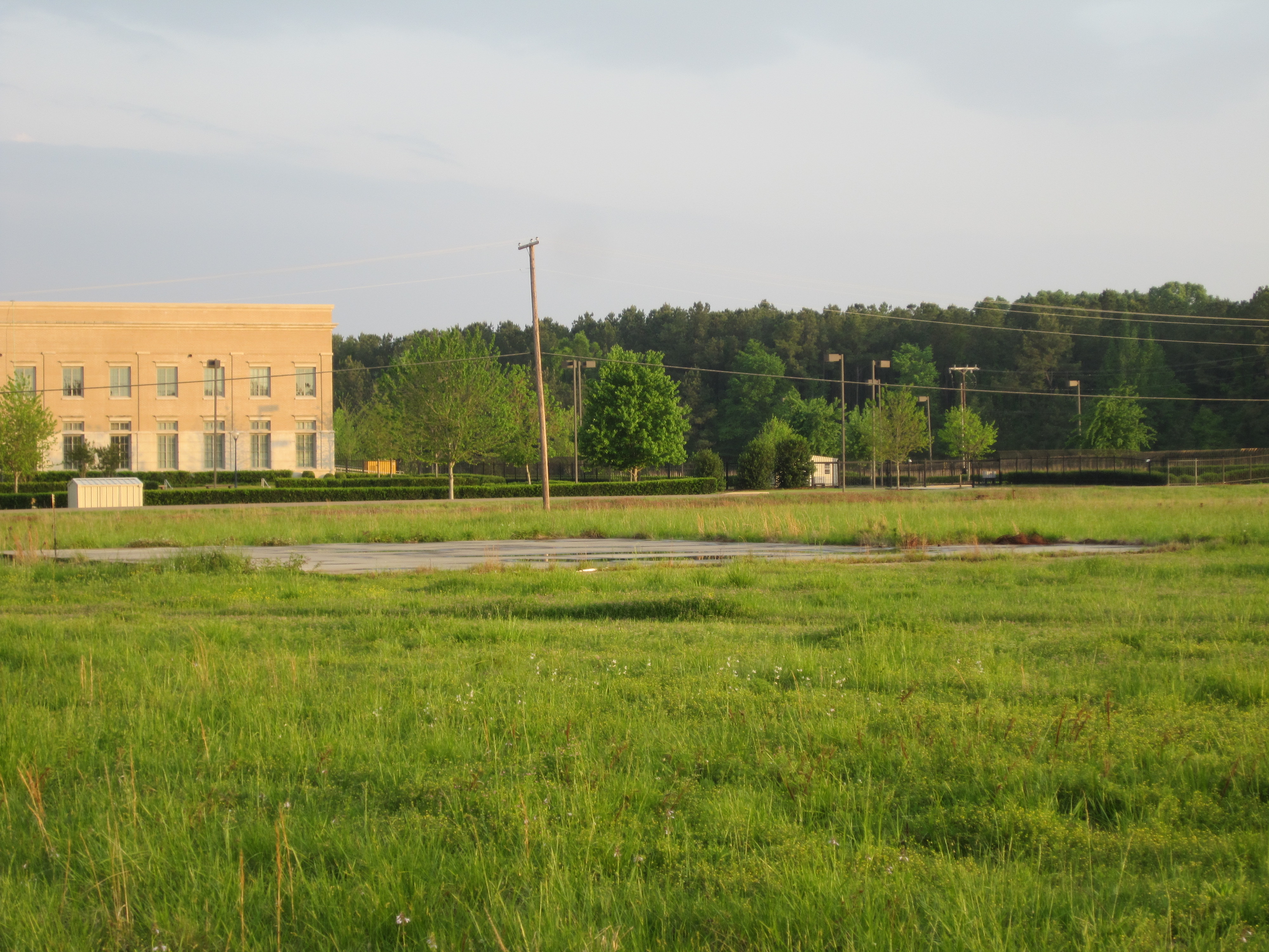
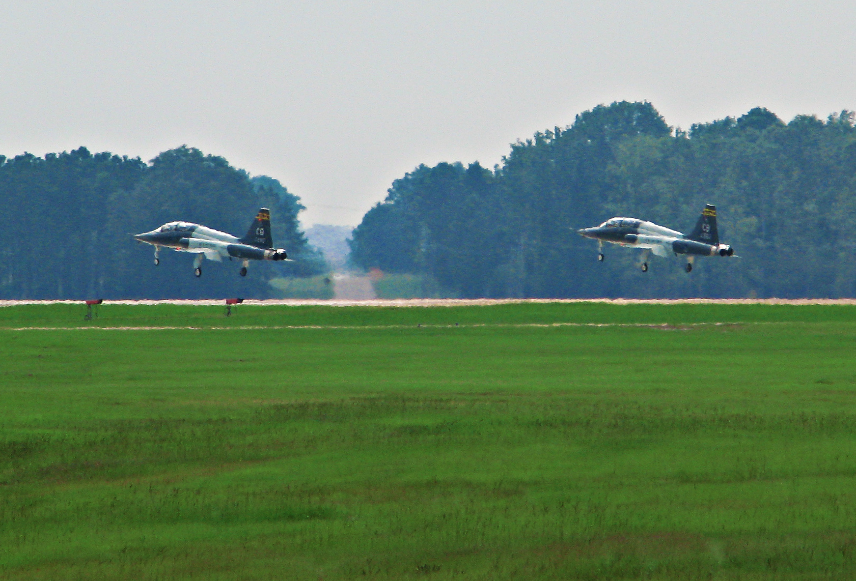
Abandoned Aberdeen Airport 3
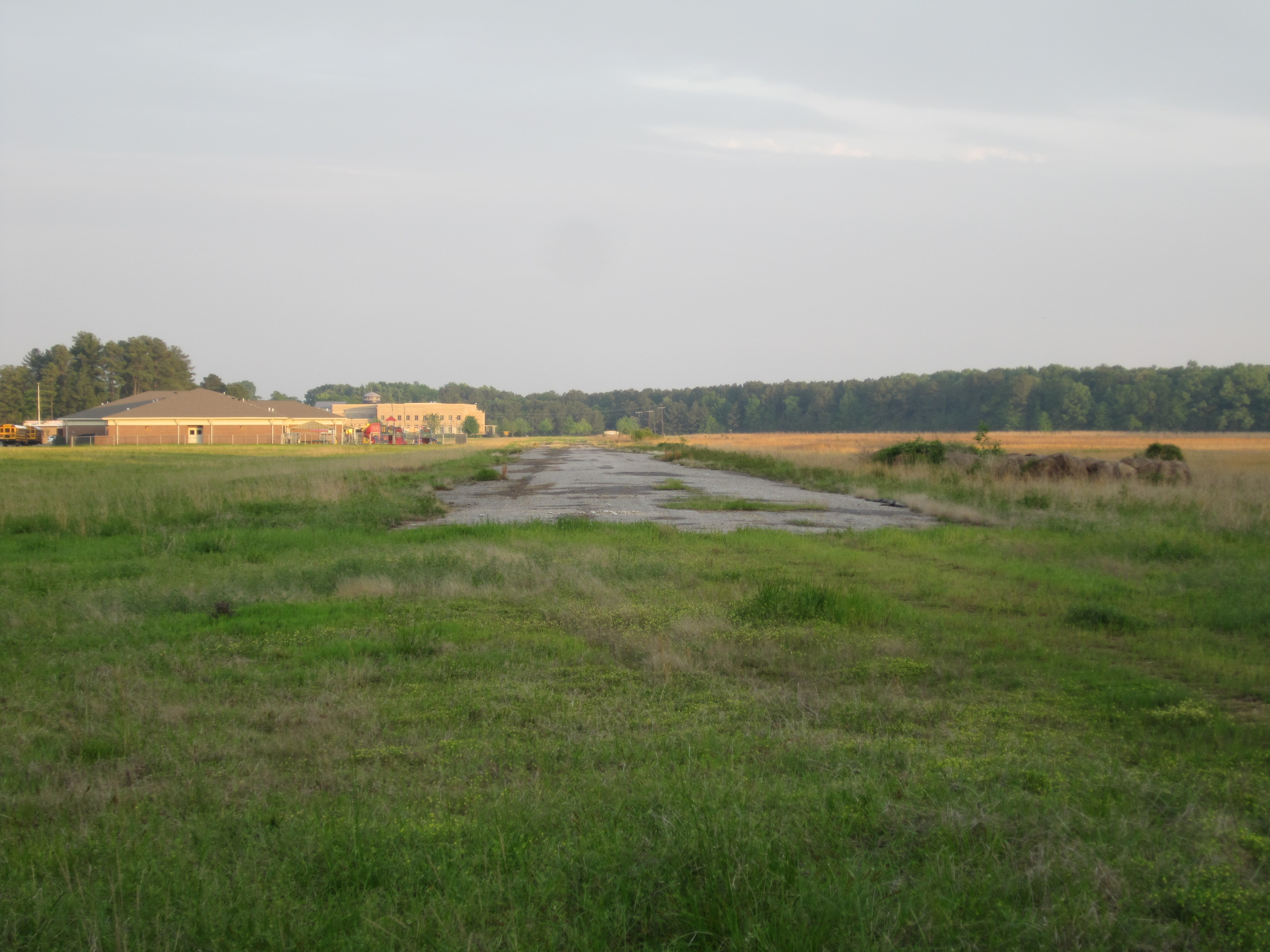
Abandoned Aberdeen Airport 6
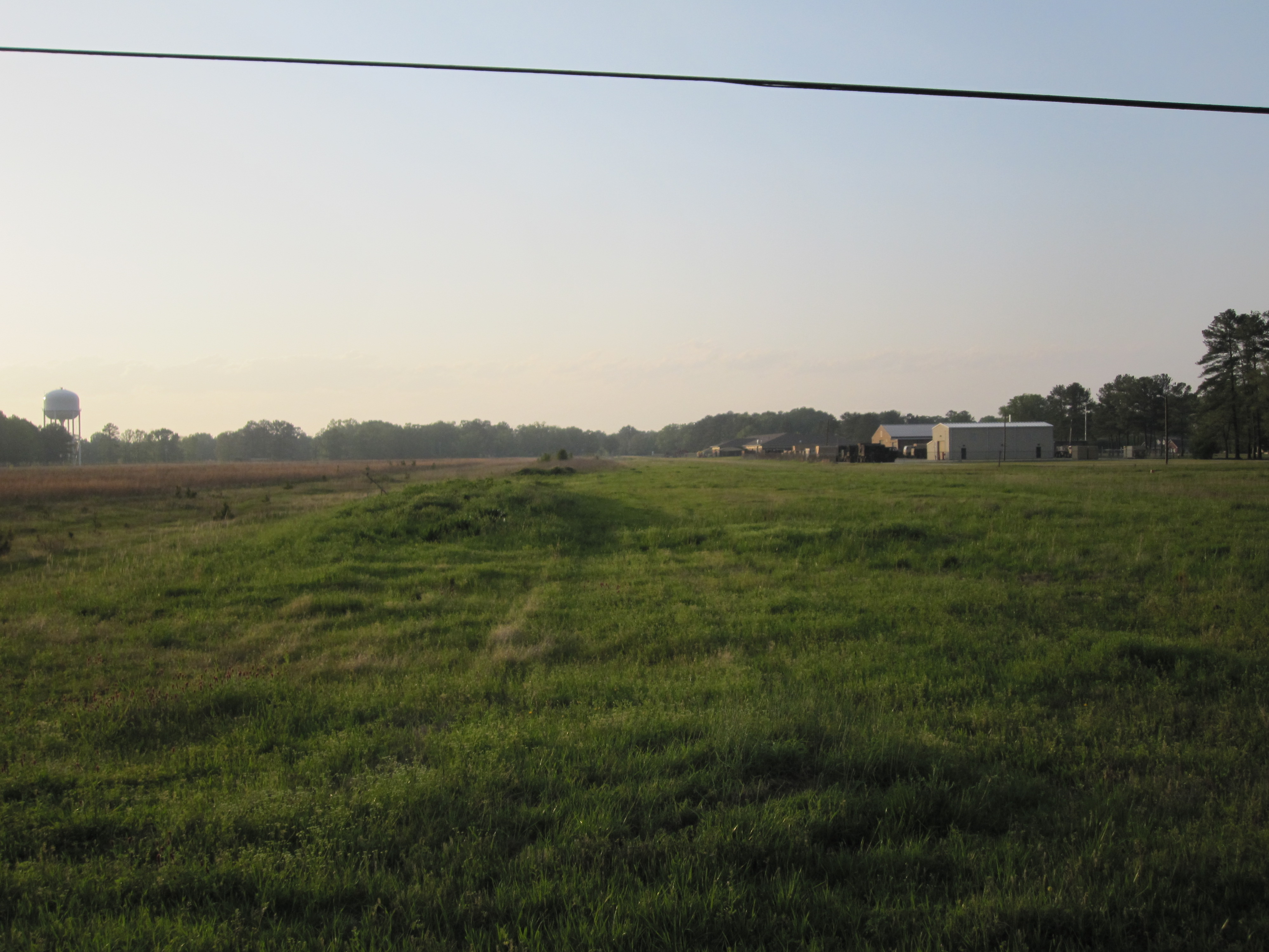
Abandoned Aberdeen Airport 1

Additional iPhone Photos

074 The Real Thing

Additional iPhone Photos
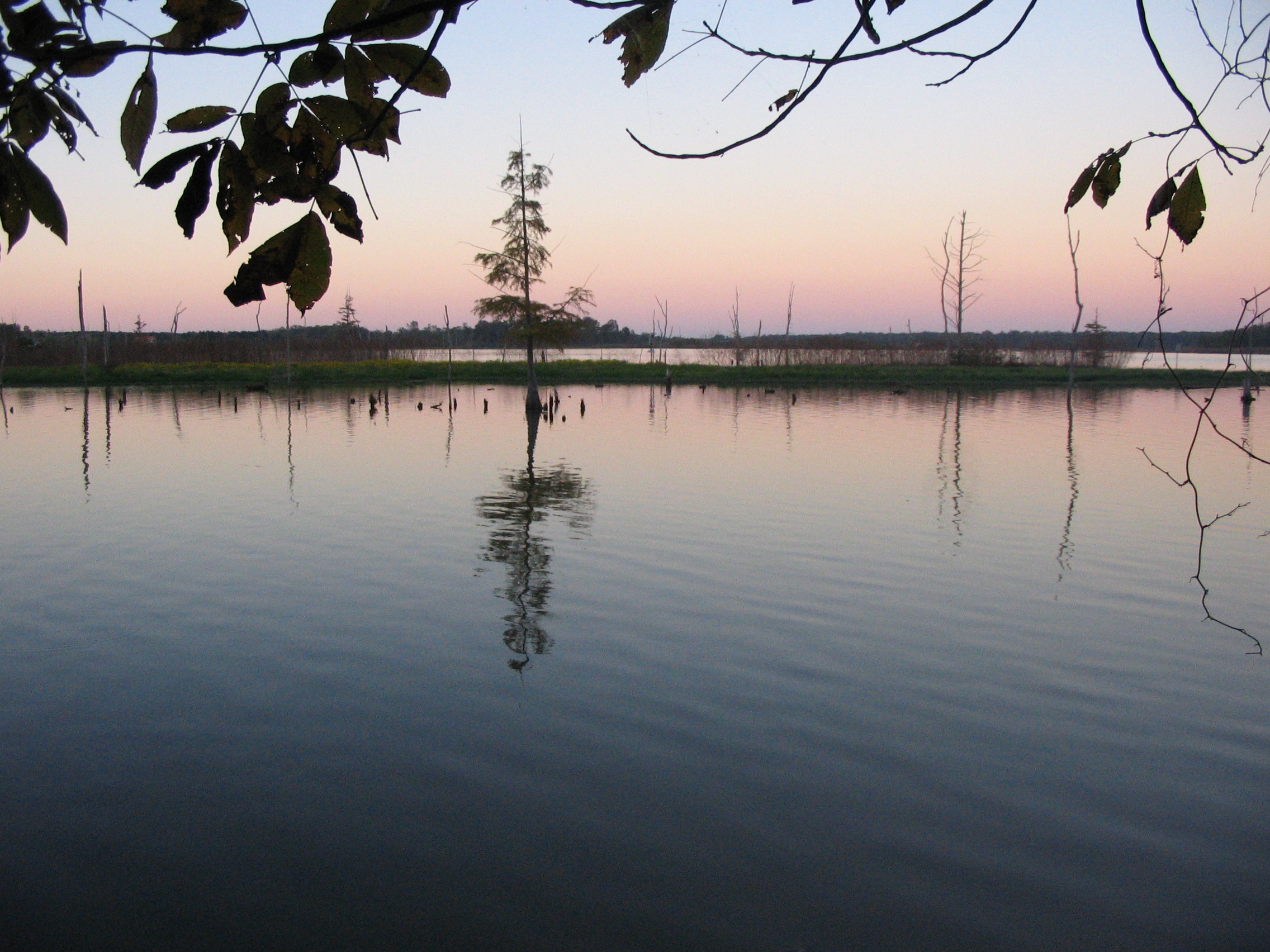
Aberdeen Lake
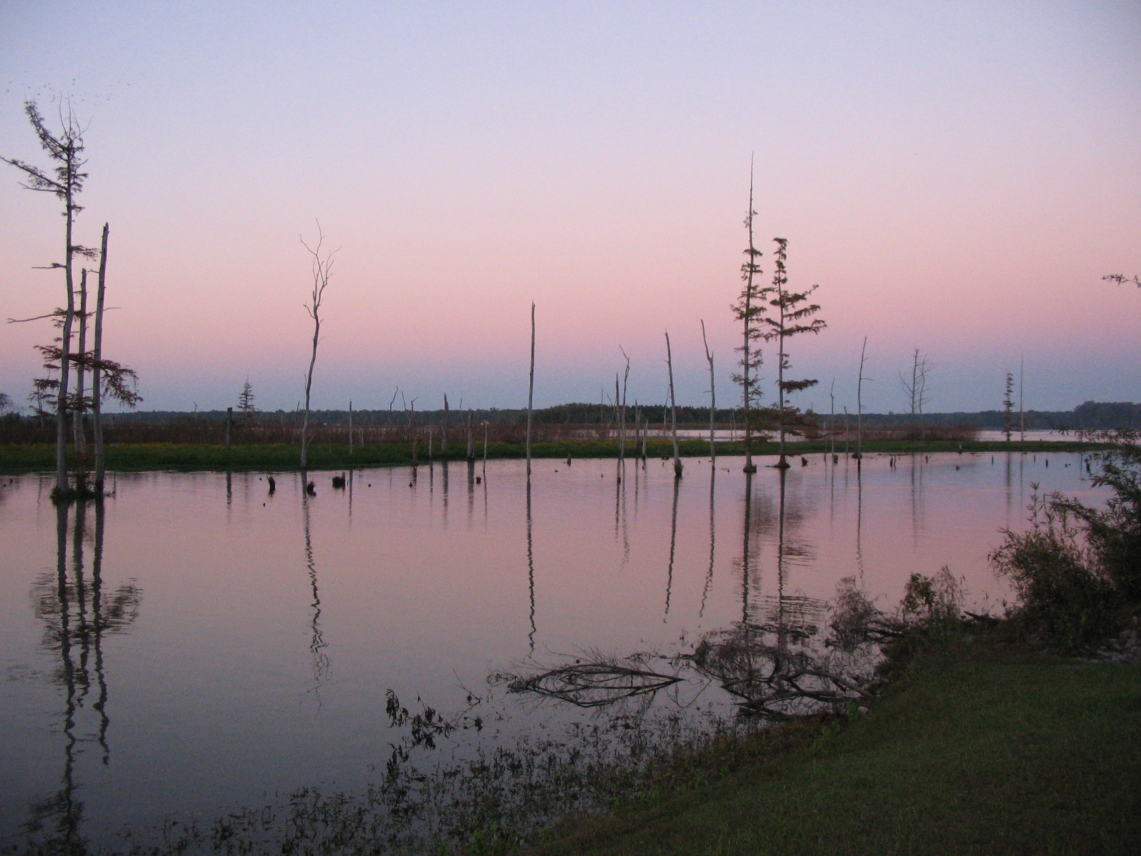
Aberdeen Lake

Aberdeen Lake
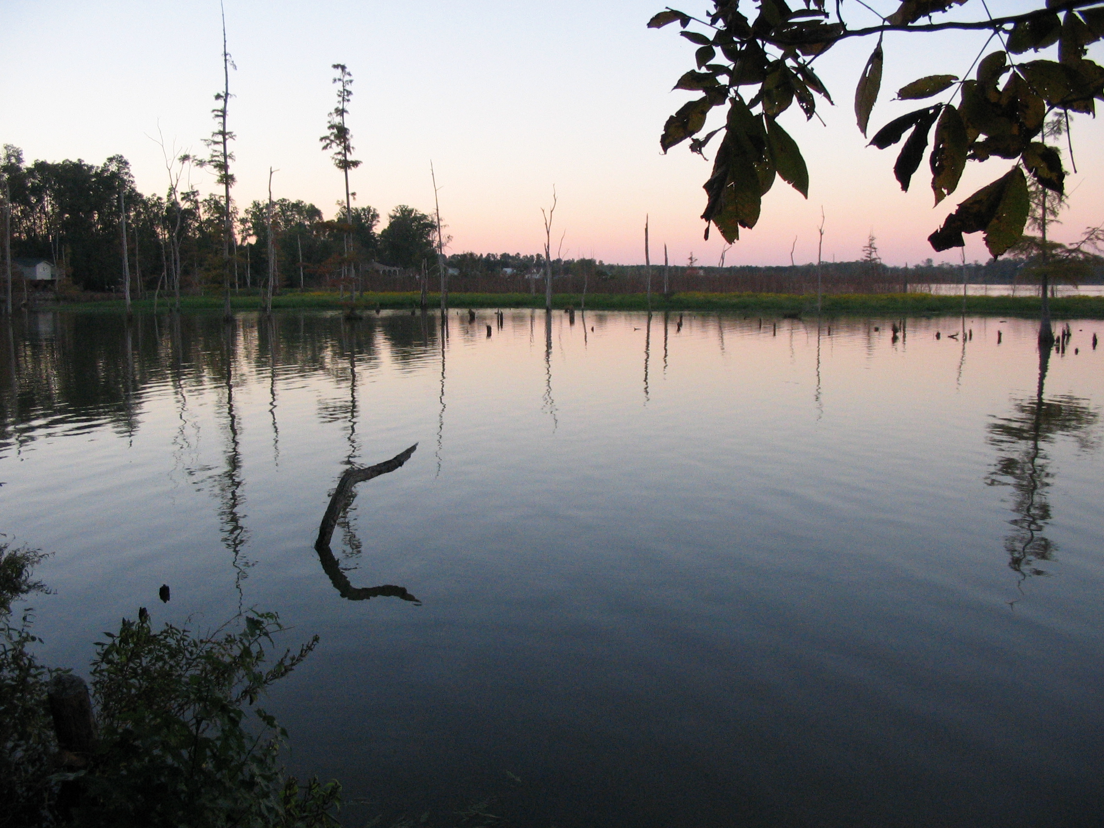
Aberdeen Lake
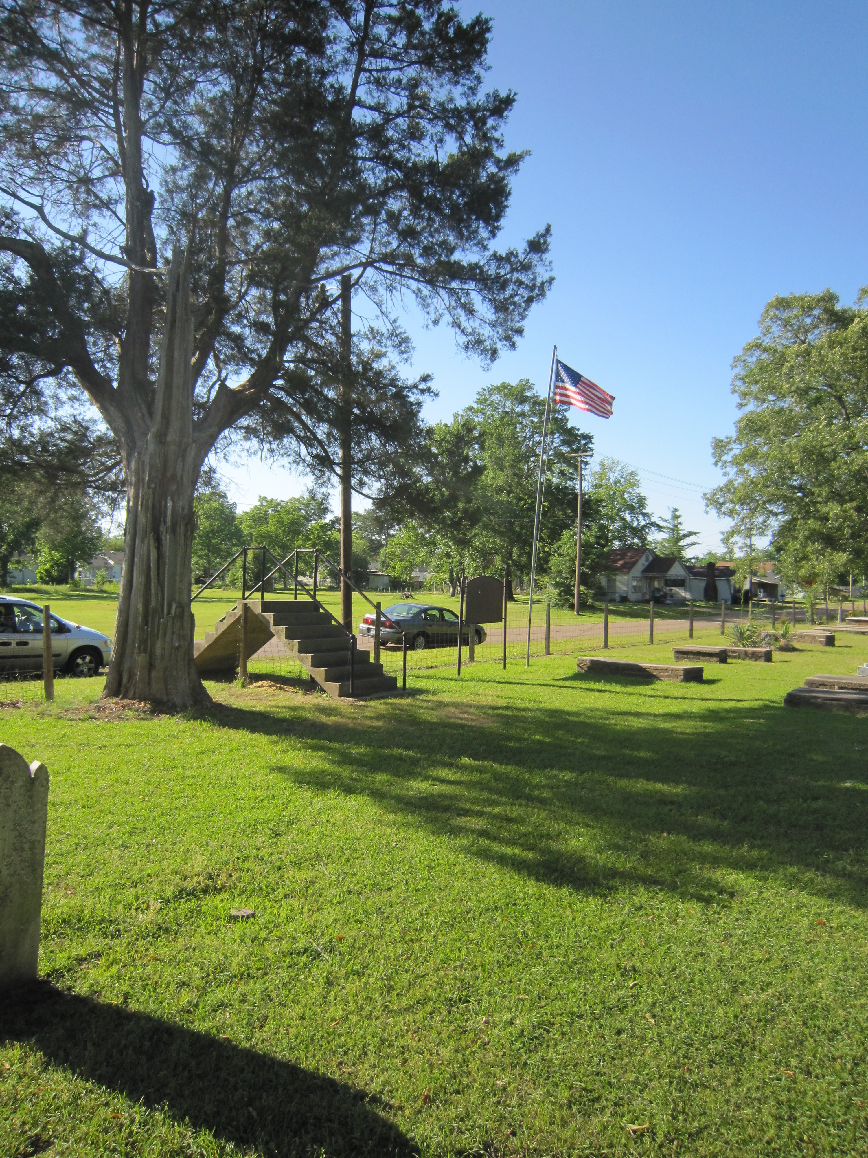
Old Aberdeen Cemetery 5
Topographic Map of Dill Rd, Hamilton, MS, USA
Find elevation by address:

Places near Dill Rd, Hamilton, MS, USA:
Mcduffie Cemetery Road
40228 Mcduffie Cemetery Rd
Athens Quincy Rd, Aberdeen, MS, USA
Aberdeen
20047 Little Red Trail
Wolfe Rd, Caledonia, MS, USA
Monroe County
Greenwood Springs Rd, Greenwood Springs, MS, USA
Greenwood Springs
60040 Tawana Ln
New Hope Primitive Baptist Church
Cox St, Amory, MS, USA
Amory
Concord Ave, Amory, MS, USA
Hatley-Detroit Rd, Amory, MS, USA
60593 Splunge Rd
30298 Us-278
Sipsey Fork Rd, Greenwood Springs, MS, USA
Sulligent
Vernon
Recent Searches:
- Elevation of Corso Fratelli Cairoli, 35, Macerata MC, Italy
- Elevation of Tallevast Rd, Sarasota, FL, USA
- Elevation of 4th St E, Sonoma, CA, USA
- Elevation of Black Hollow Rd, Pennsdale, PA, USA
- Elevation of Oakland Ave, Williamsport, PA, USA
- Elevation of Pedrógão Grande, Portugal
- Elevation of Klee Dr, Martinsburg, WV, USA
- Elevation of Via Roma, Pieranica CR, Italy
- Elevation of Tavkvetili Mountain, Georgia
- Elevation of Hartfords Bluff Cir, Mt Pleasant, SC, USA