Elevation of Athens Quincy Rd, Aberdeen, MS, USA
Location: United States > Mississippi > Monroe County > Aberdeen >
Longitude: -88.440725
Latitude: 33.871683
Elevation: 97m / 318feet
Barometric Pressure: 0KPa
Related Photos:

For Mark. AKA “sunuvagun”

Ward Coleman, Aberdeen, Mississippi

One Track

Storm clouds...

Return To Big Rot (series)
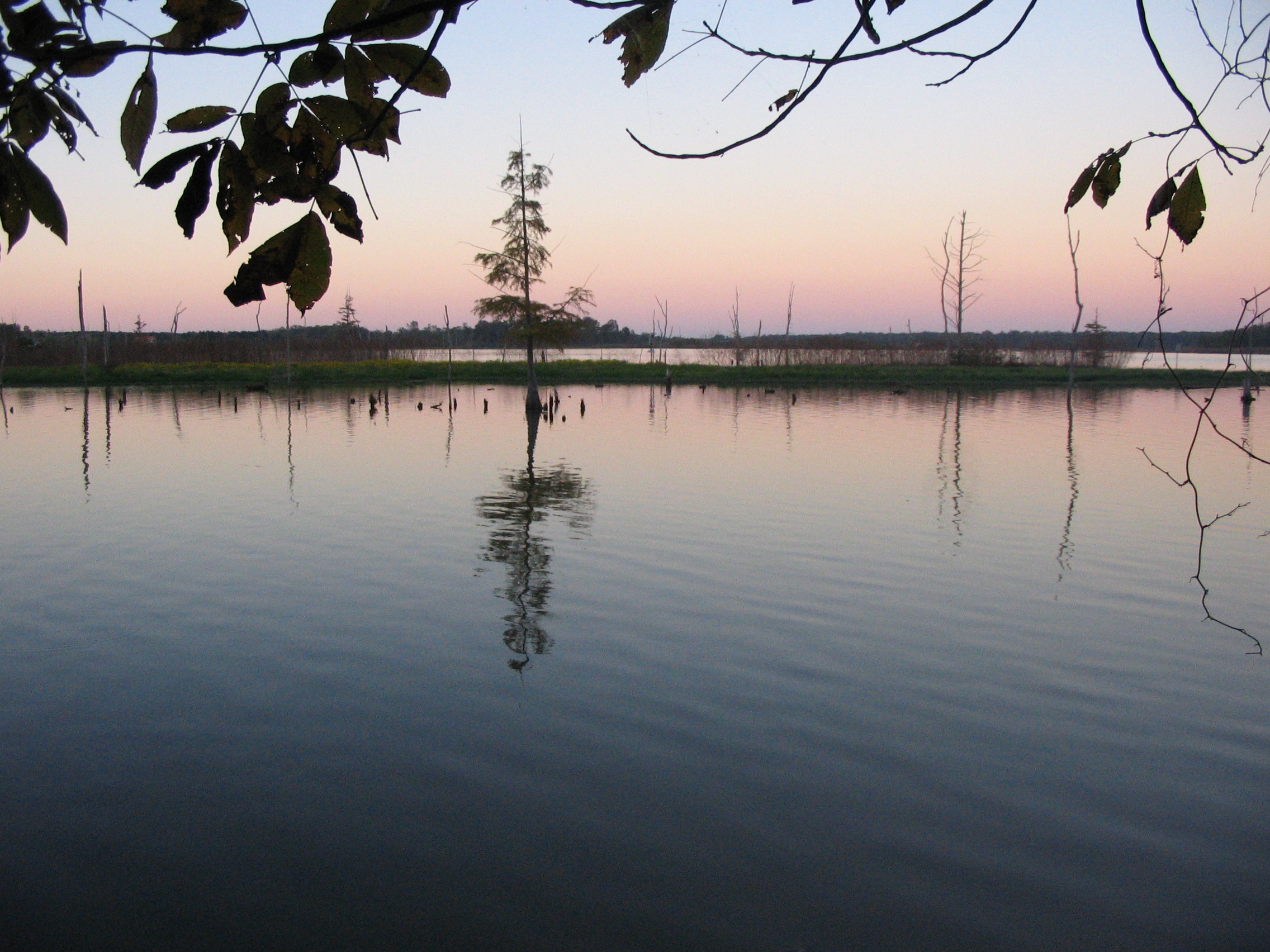
Aberdeen Lake
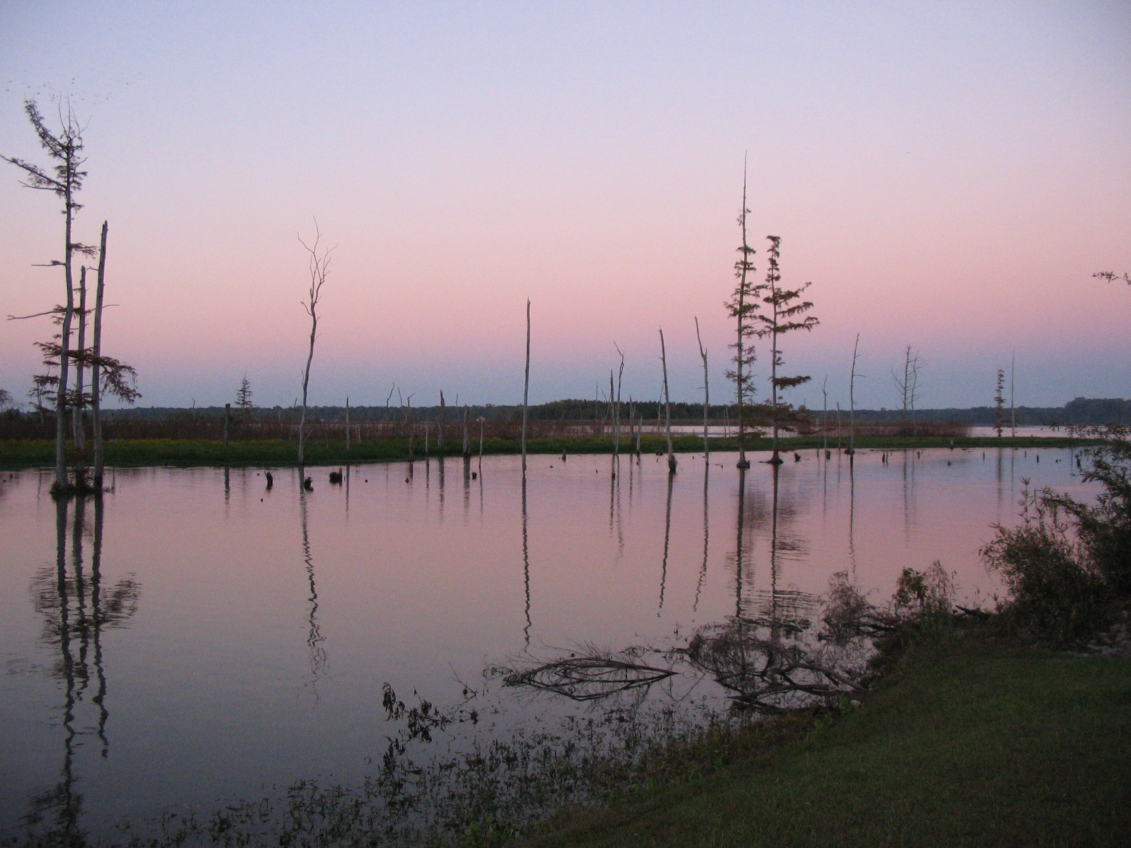
Aberdeen Lake
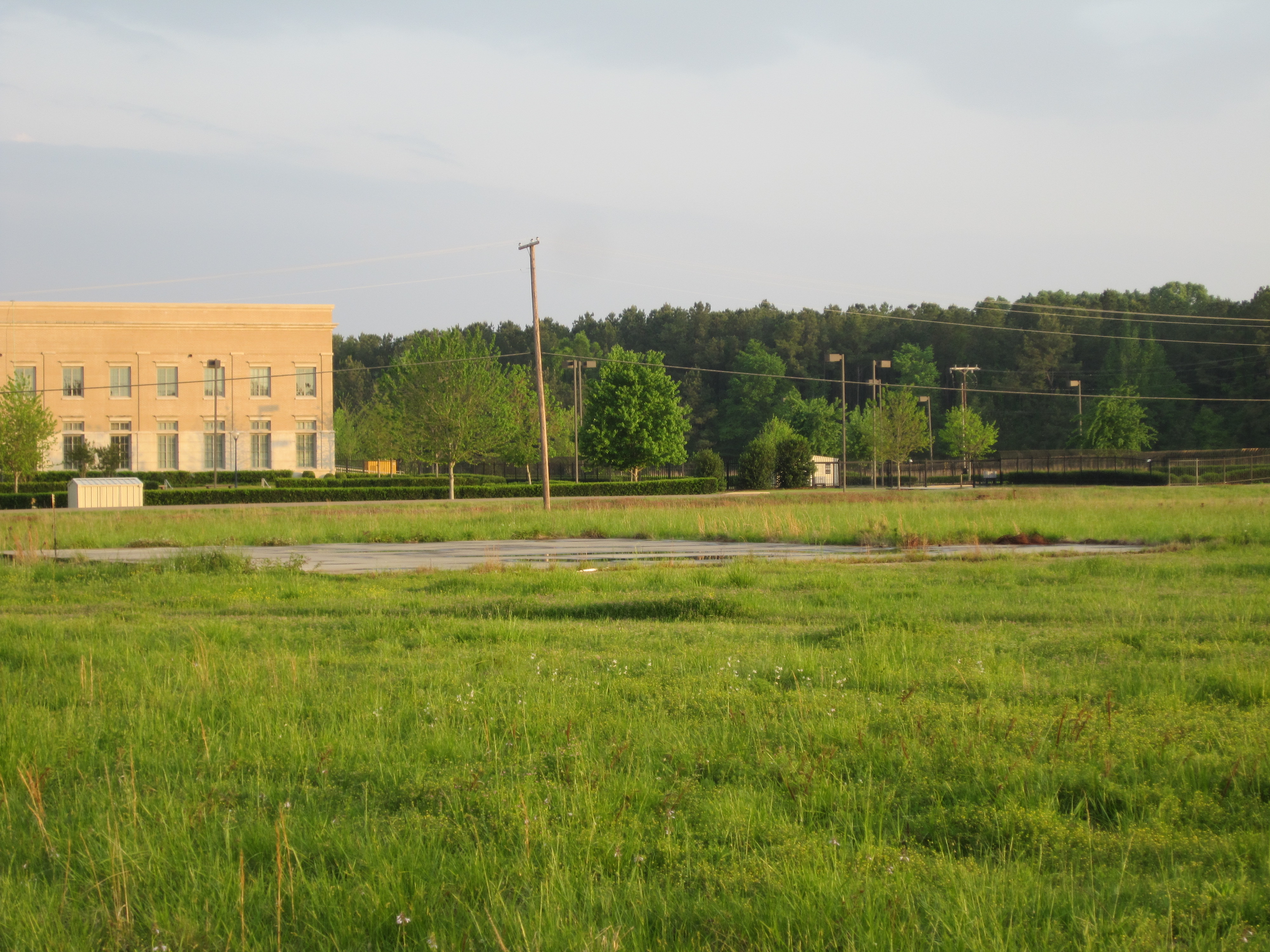
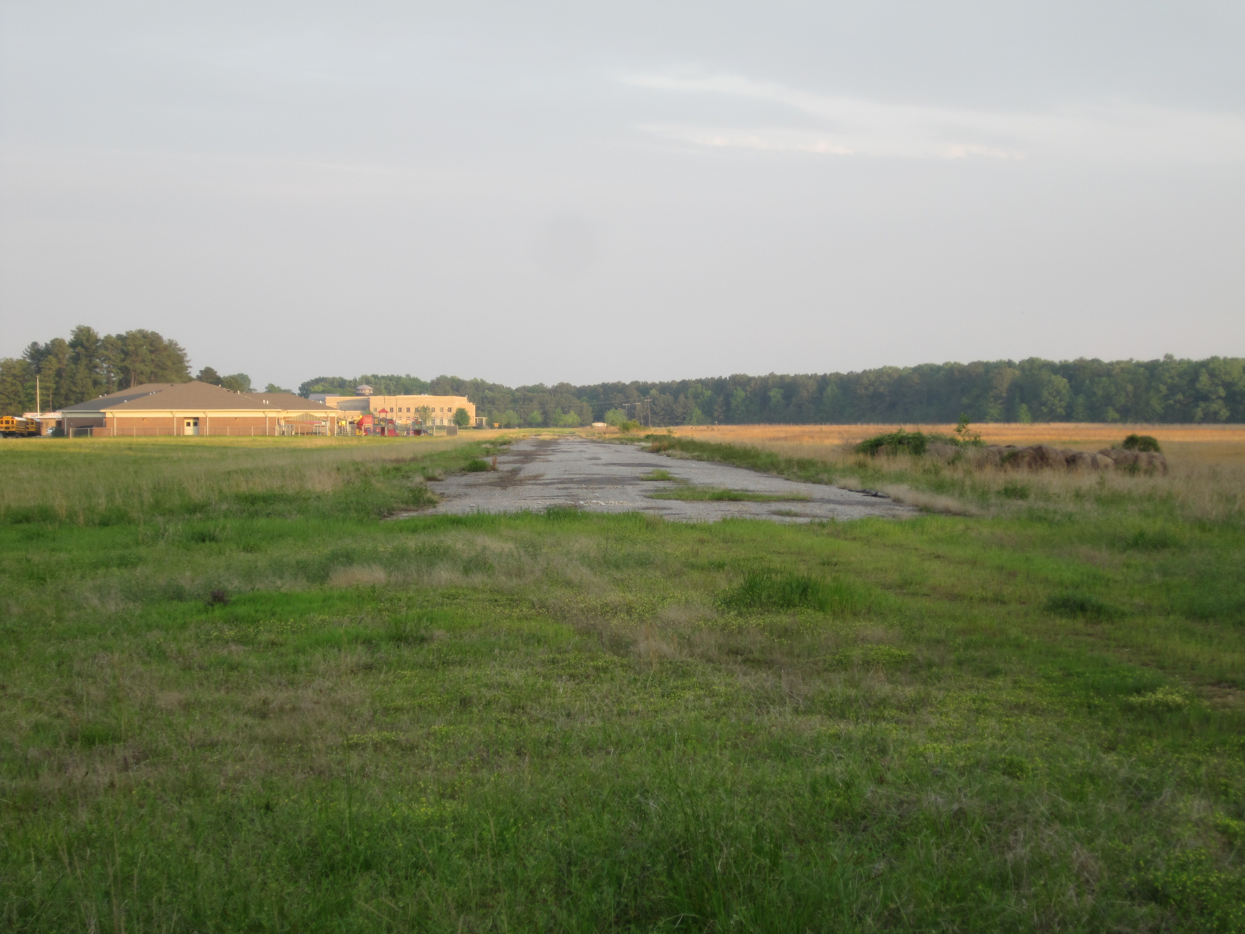
Abandoned Aberdeen Airport 3

Aberdeen Lake
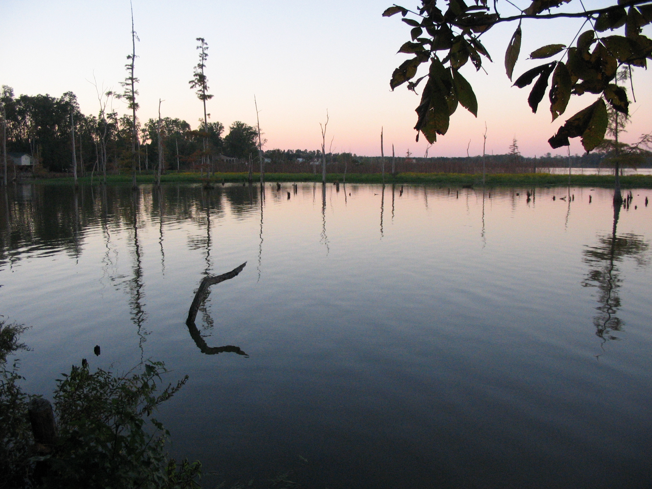
Aberdeen Lake
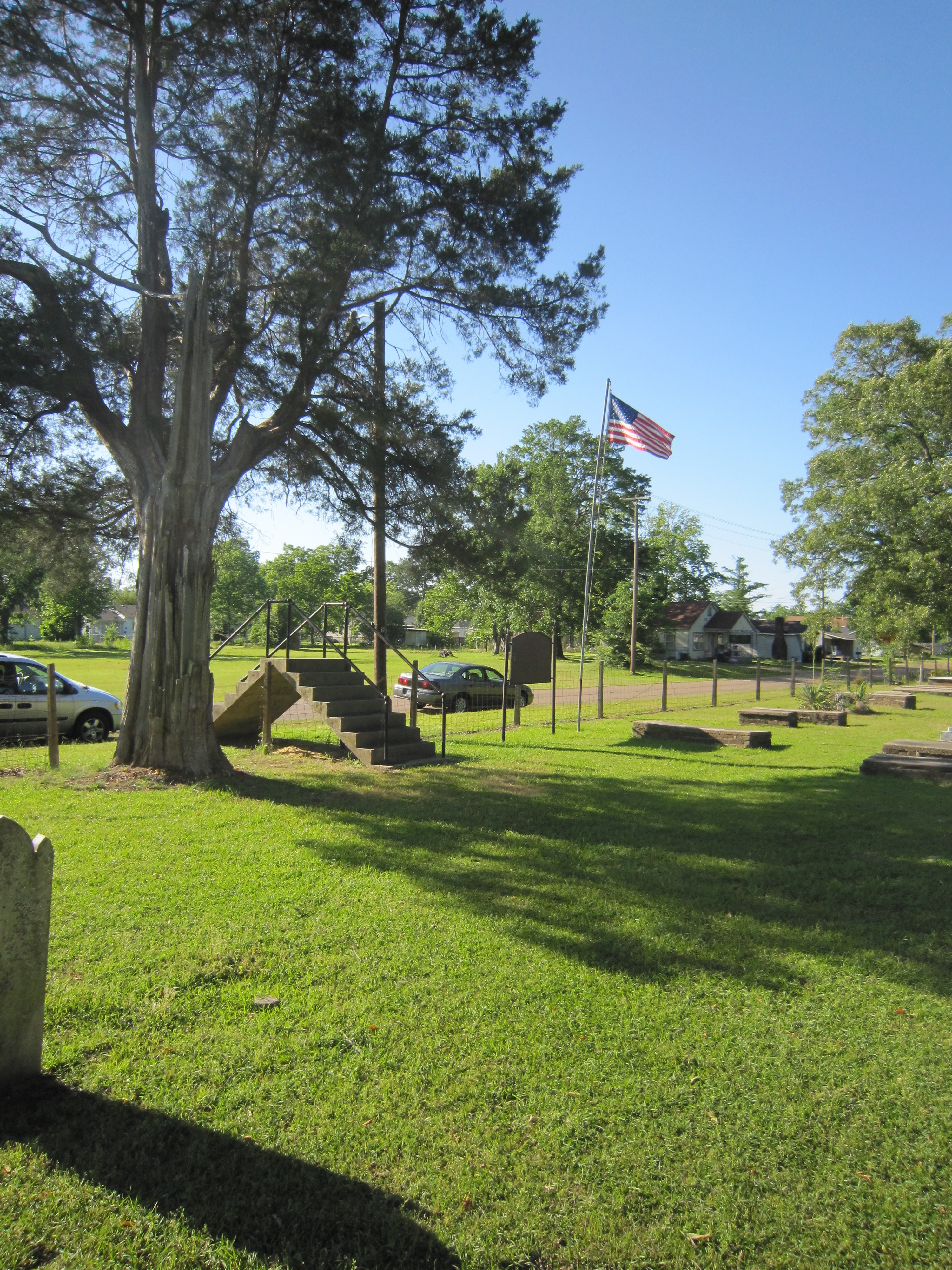
Old Aberdeen Cemetery 5
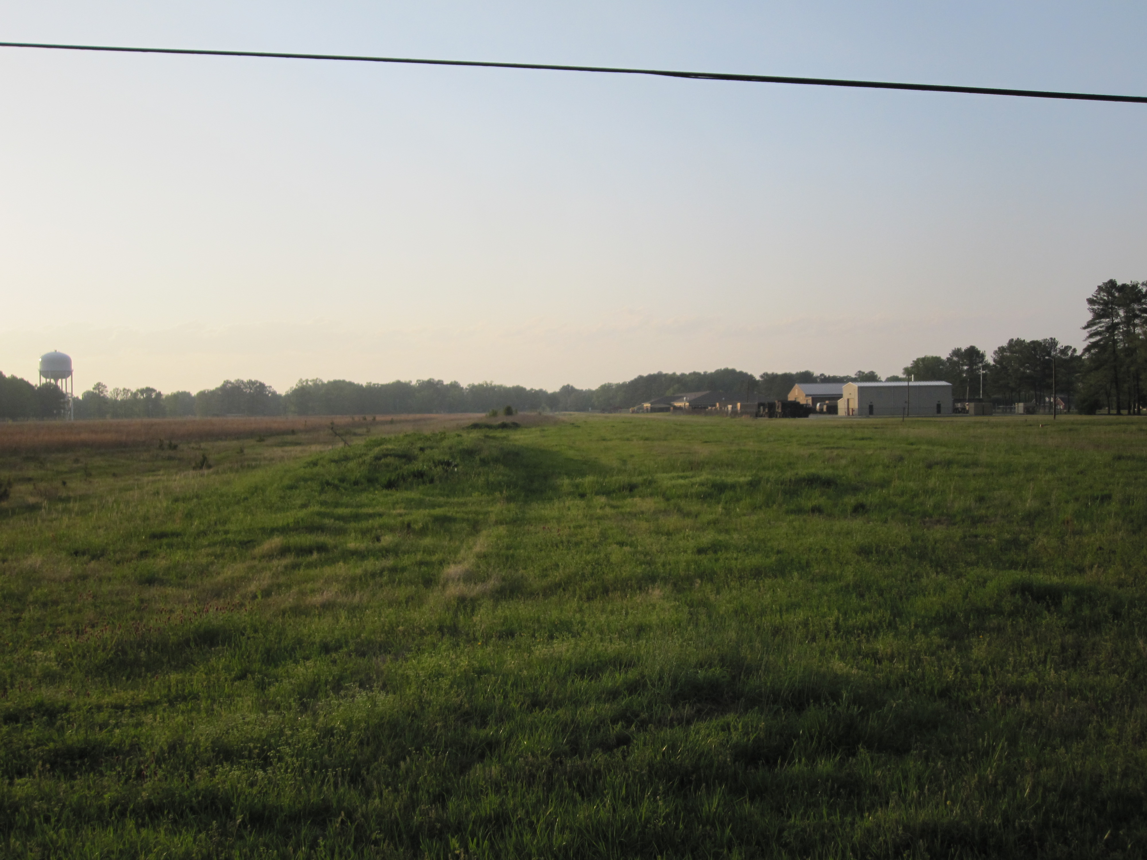
Abandoned Aberdeen Airport 6
Abandoned Aberdeen Airport 1

Day 30-33 013
Topographic Map of Athens Quincy Rd, Aberdeen, MS, USA
Find elevation by address:

Places near Athens Quincy Rd, Aberdeen, MS, USA:
40089 Dill Rd
40228 Mcduffie Cemetery Rd
Mcduffie Cemetery Road
60040 Tawana Ln
20047 Little Red Trail
New Hope Primitive Baptist Church
Cox St, Amory, MS, USA
Aberdeen
Monroe County
Amory
Concord Ave, Amory, MS, USA
Greenwood Springs Rd, Greenwood Springs, MS, USA
Greenwood Springs
Wolfe Rd, Caledonia, MS, USA
Hatley-Detroit Rd, Amory, MS, USA
30298 Us-278
60593 Splunge Rd
Sipsey Fork Rd, Greenwood Springs, MS, USA
Carolina Rd, Nettleton, MS, USA
Co Rd, Nettleton, MS, USA
Recent Searches:
- Elevation of Window Rock, Colfax County, New Mexico, 87714, USA
- Elevation of 4807, Rosecroft Street, Kempsville Gardens, Virginia Beach, Virginia, 23464, USA
- Elevation map of Matawinie, Quebec, Canada
- Elevation of Sainte-Émélie-de-l'Énergie, Matawinie, Quebec, Canada
- Elevation of Rue du Pont, Sainte-Émélie-de-l'Énergie, Matawinie, Quebec, J0K2K0, Canada
- Elevation of 8, Rue de Bécancour, Blainville, Thérèse-De Blainville, Quebec, J7B1N2, Canada
- Elevation of Wilmot Court North, 163, University Avenue West, Northdale, Waterloo, Region of Waterloo, Ontario, N2L6B6, Canada
- Elevation map of Panamá Province, Panama
- Elevation of Balboa, Panamá Province, Panama
- Elevation of San Miguel, Balboa, Panamá Province, Panama
- Elevation of Isla Gibraleón, San Miguel, Balboa, Panamá Province, Panama
- Elevation of 4655, Krischke Road, Schulenburg, Fayette County, Texas, 78956, USA
- Elevation of Carnegie Avenue, Downtown Cleveland, Cleveland, Cuyahoga County, Ohio, 44115, USA
- Elevation of Walhonding, Coshocton County, Ohio, USA
- Elevation of Clifton Down, Clifton, Bristol, City of Bristol, England, BS8 3HU, United Kingdom
- Elevation map of Auvergne-Rhône-Alpes, France
- Elevation map of Upper Savoy, Auvergne-Rhône-Alpes, France
- Elevation of Chamonix-Mont-Blanc, Upper Savoy, Auvergne-Rhône-Alpes, France
- Elevation of 908, Northwood Drive, Bridge Field, Chesapeake, Virginia, 23322, USA
- Elevation map of Nagano Prefecture, Japan