Elevation of Dickie Hills HP, Butte, MT, USA
Location: United States > Montana > Silver Bow County > Butte >
Longitude: -113.03527
Latitude: 45.8683333
Elevation: 2392m / 7848feet
Barometric Pressure: 76KPa
Elevation Map:
Satellite Map:
Related Photos:
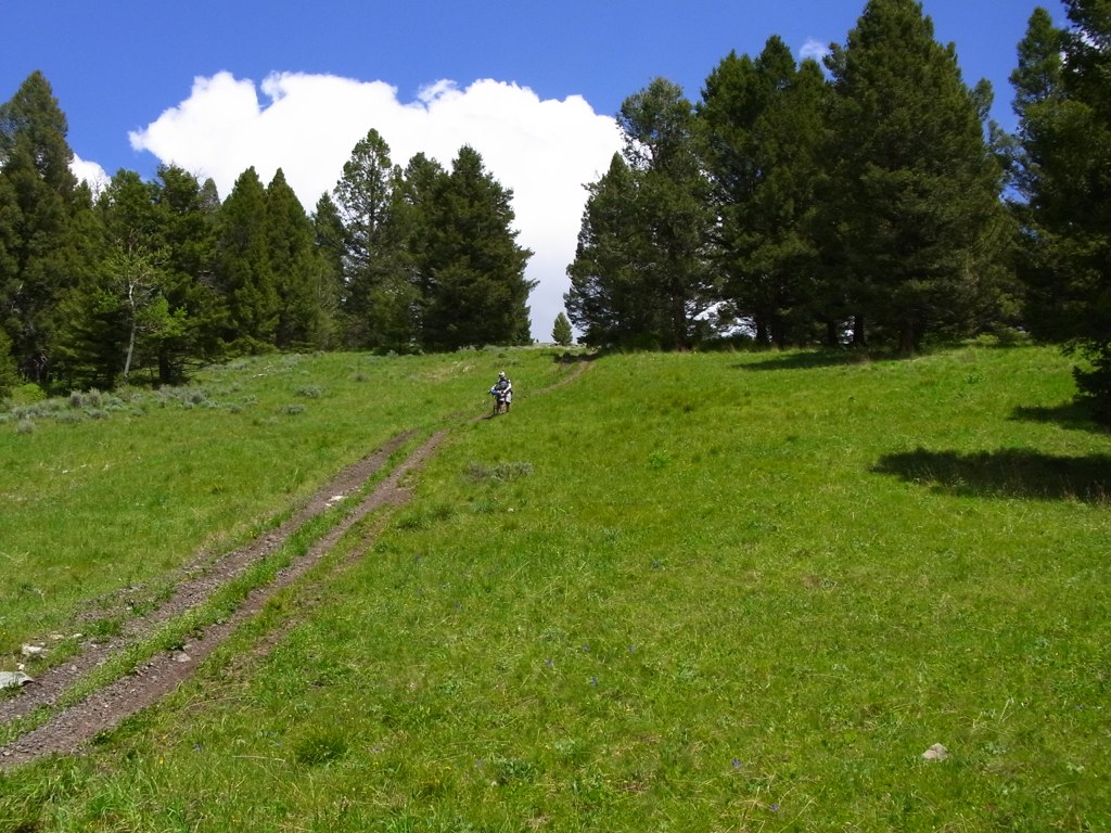
Wider view of Fleecer Ridge
Topographic Map of Dickie Hills HP, Butte, MT, USA
Find elevation by address:

Places near Dickie Hills HP, Butte, MT, USA:
Bear Mountain
Dickie Peak
Little Granulated Mountain
Granulated Mountain
Wise River
65221 Mt-43
2080 Jerry Creek Rd
Grassy Mountain
Sugarloaf Mountain
Seymour Campground
Seymour Creek Campground And Picnic Area
Pioneer Mountains Scenic Byway
211 Tippy Toe Trl
1579 Outlaw Trail
Mount Evans
Anaconda, MT, USA
Deer Lodge County
Black Lion Mountain
Shaw Mountain
Mount Howe
Recent Searches:
- Elevation of Corso Fratelli Cairoli, 35, Macerata MC, Italy
- Elevation of Tallevast Rd, Sarasota, FL, USA
- Elevation of 4th St E, Sonoma, CA, USA
- Elevation of Black Hollow Rd, Pennsdale, PA, USA
- Elevation of Oakland Ave, Williamsport, PA, USA
- Elevation of Pedrógão Grande, Portugal
- Elevation of Klee Dr, Martinsburg, WV, USA
- Elevation of Via Roma, Pieranica CR, Italy
- Elevation of Tavkvetili Mountain, Georgia
- Elevation of Hartfords Bluff Cir, Mt Pleasant, SC, USA