Elevation of Sugarloaf Mountain, Anaconda, MT, USA
Location: United States > Montana > Deer Lodge County > Anaconda >
Longitude: -112.95643
Latitude: 46.0129806
Elevation: 2337m / 7667feet
Barometric Pressure: 76KPa
Elevation Map:
Satellite Map:
Related Photos:
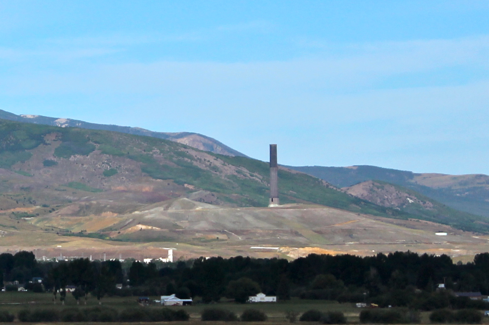
Anaconda Smoke Stack

Anaconda Copper

Anaconda Smelter Stack
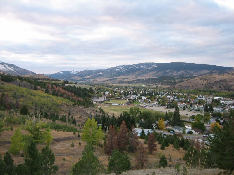
West End of the Valley zoom view
Topographic Map of Sugarloaf Mountain, Anaconda, MT, USA
Find elevation by address:

Places near Sugarloaf Mountain, Anaconda, MT, USA:
Grassy Mountain
1579 Outlaw Trail
211 Tippy Toe Trl
Anaconda
Bear Mountain
718 E Park Ave
Anaconda, MT, USA
Deer Lodge County
816 W 4th St
Dickie Peak
Willow Glen Rd, Anaconda, MT, USA
Little Granulated Mountain
Granulated Mountain
Fairmont Hot Springs
Fairmont Rv Park
206 Rumsey St
Stewart St, Anaconda, MT, USA
Meyers Dam
Dickie Hills Hp
2080 Jerry Creek Rd
Recent Searches:
- Elevation of Corso Fratelli Cairoli, 35, Macerata MC, Italy
- Elevation of Tallevast Rd, Sarasota, FL, USA
- Elevation of 4th St E, Sonoma, CA, USA
- Elevation of Black Hollow Rd, Pennsdale, PA, USA
- Elevation of Oakland Ave, Williamsport, PA, USA
- Elevation of Pedrógão Grande, Portugal
- Elevation of Klee Dr, Martinsburg, WV, USA
- Elevation of Via Roma, Pieranica CR, Italy
- Elevation of Tavkvetili Mountain, Georgia
- Elevation of Hartfords Bluff Cir, Mt Pleasant, SC, USA