Elevation of Seymour Creek Campground and Picnic Area, Seymour Creek Rd, Wise River, MT, United States
Location: United States > Montana > Deer Lodge County > Anaconda >
Longitude: -113.18923
Latitude: 45.98318
Elevation: 2129m / 6985feet
Barometric Pressure: 78KPa
Elevation Map:
Satellite Map:
Related Photos:
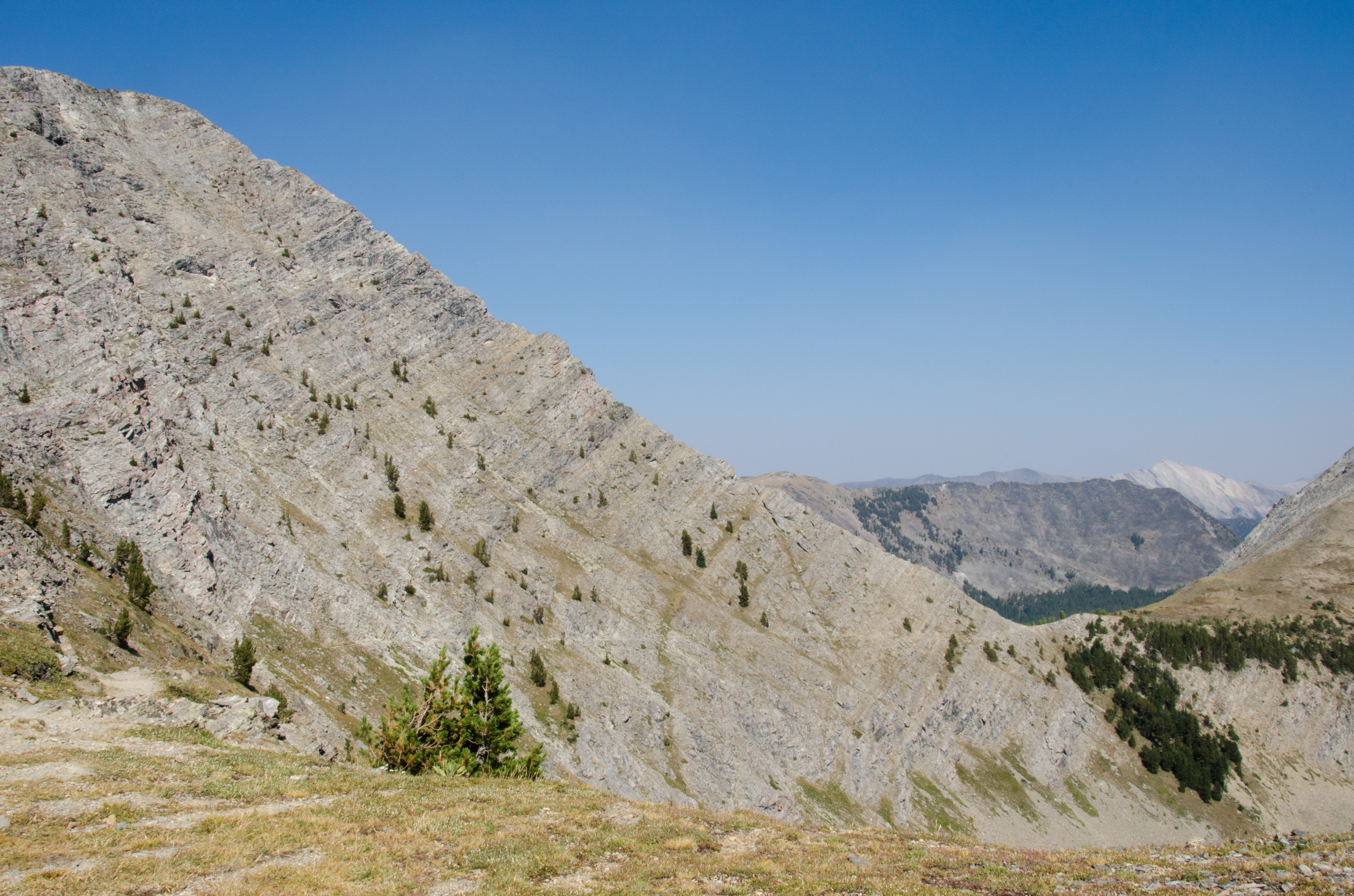
Storm Pass View
Topographic Map of Seymour Creek Campground and Picnic Area, Seymour Creek Rd, Wise River, MT, United States
Find elevation by address:

Places near Seymour Creek Campground and Picnic Area, Seymour Creek Rd, Wise River, MT, United States:
Seymour Campground
Mount Evans
Mount Howe
Kurt Peak
Mount Tiny
Queener Mountain
Rainbow Mountain
Fish Peak
Long Peak
Grassy Mountain
Dickie Hills Hp
Bear Mountain
Grouse Hill
West Goat Peak
Anaconda, MT, USA
Deer Lodge County
211 Tippy Toe Trl
12 Cameron Ave, Anaconda, MT, USA
Dickie Peak
Meyers Dam
Recent Searches:
- Elevation of Kootenai Trail Rd, Bonners Ferry, ID, USA
- Elevation of Hickory Blvd, Bonita Springs, FL, USA
- Elevation of Lalagbene, Bayelsa, Nigeria
- Elevation of Ogbosuware Health Centre, 2WWJ+4PJ, Lalagbene, Bayelsa, Nigeria
- Elevation of Duckhorn Ct, Las Vegas, NV, USA
- Elevation of Garretts Run Rd, Ford City, PA, USA
- Elevation of N WI-55, Freedom, WI, USA
- Elevation map of Hadiya, Ethiopia
- Elevation of Hosaina, Ethiopia
- Elevation of Verde Terrace, North Port, FL, USA