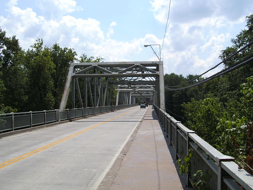
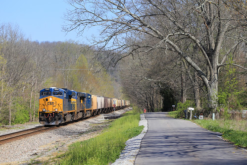
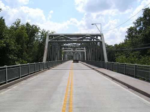
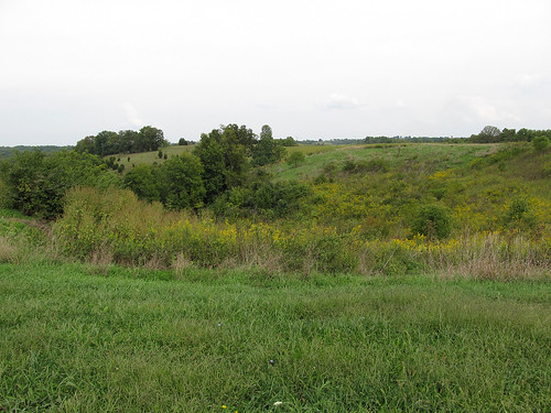
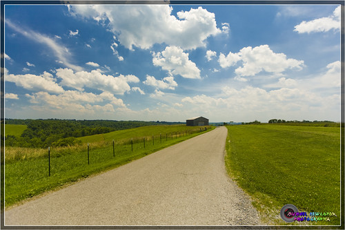
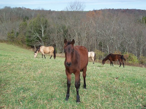
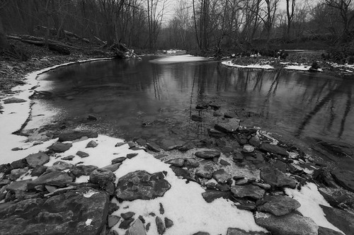
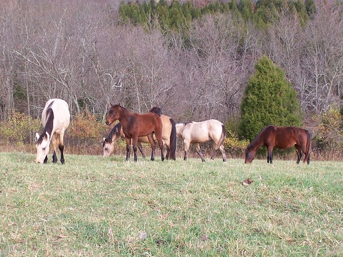
Elevation of DeMossville, Demossville, KY, USA
Location: United States > Kentucky > Pendleton County >
Longitude: -84.418367
Latitude: 38.8044741
Elevation: 163m / 535feet
Barometric Pressure: 99KPa
Related Photos:
Topographic Map of DeMossville, Demossville, KY, USA
Find elevation by address:

Places in DeMossville, Demossville, KY, USA:
Places near DeMossville, Demossville, KY, USA:
246 Demossville Rd
1347 State Hwy 177 E
3590 Alexander Rd
1 Dallas Dr
Morning View
Pendleton County
KY-, Demossville, KY, USA
3336 Rich Rd
3035 Rich Rd
Madison Pike, Morning View, KY, USA
E Fairview Rd, Williamstown, KY, USA
East Fairview Road
3132 Hogg Ridge Rd
3620 Lemon Northcutt Rd
Hogg Ridge Road
1365 Independence Pike
Bracht-Piner Rd, Crittenden, KY, USA
Crittenden
10000 Business Blvd
Dry Ridge
Recent Searches:
- Elevation of Corso Fratelli Cairoli, 35, Macerata MC, Italy
- Elevation of Tallevast Rd, Sarasota, FL, USA
- Elevation of 4th St E, Sonoma, CA, USA
- Elevation of Black Hollow Rd, Pennsdale, PA, USA
- Elevation of Oakland Ave, Williamsport, PA, USA
- Elevation of Pedrógão Grande, Portugal
- Elevation of Klee Dr, Martinsburg, WV, USA
- Elevation of Via Roma, Pieranica CR, Italy
- Elevation of Tavkvetili Mountain, Georgia
- Elevation of Hartfords Bluff Cir, Mt Pleasant, SC, USA
