Elevation of Deer Creek Rd, Littleton, CO, USA
Location: United States > Colorado > Arapahoe County > Littleton > Deer Creek >
Longitude: -105.18923
Latitude: 39.51399
Elevation: 2115m / 6939feet
Barometric Pressure: 78KPa
Elevation Map:
Satellite Map:
Related Photos:

snow harvest

Just Beyond My View

some may follow

stand together

After the Blizzard

across the shore of morning

finding jack
evidence of others
one rider
alberi di pino
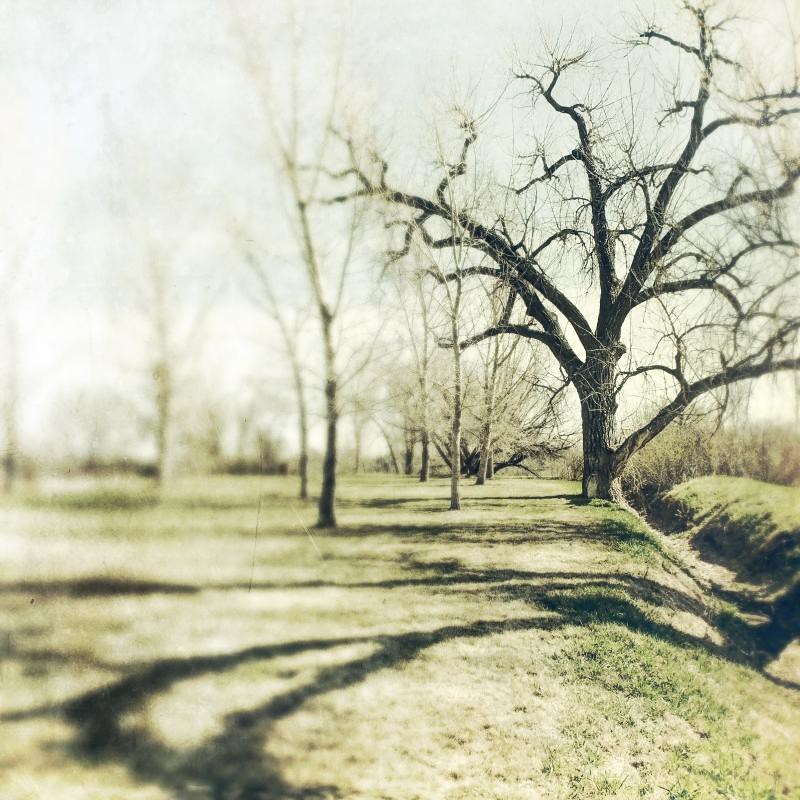
natural seperation
shadow reach

the watchers

end of waterton

100 yards

field dreaming
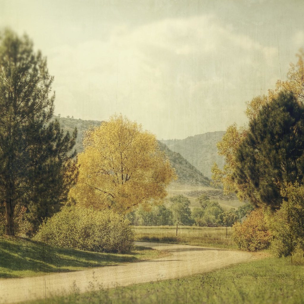
bend around yellow

mary, mary

ageless recollections
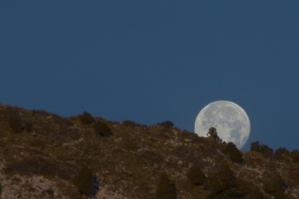
Lunar Landing
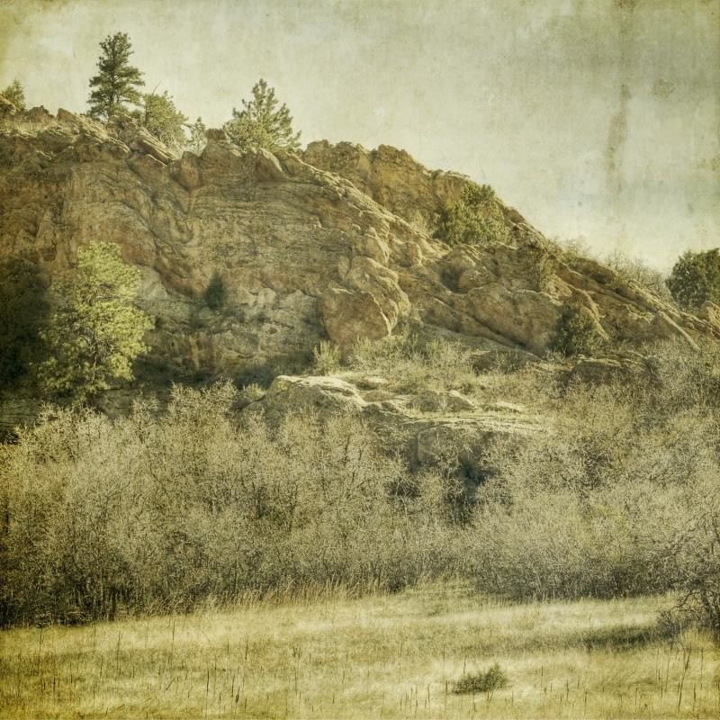
rock study

THE HOGBACK BY MORRISON

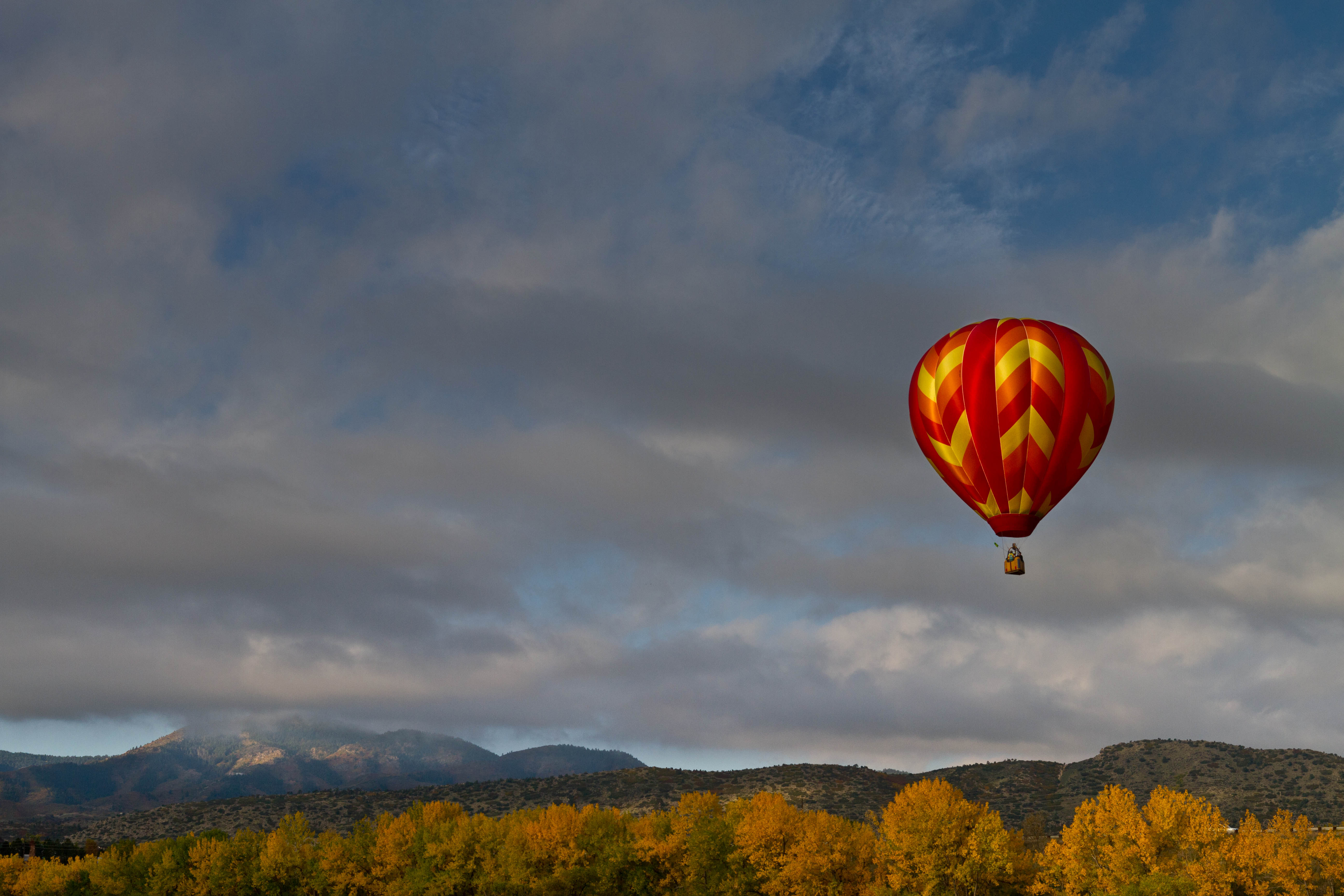
Nature's Fireworks
Just another fall day

Sunrise on Ice
The Sunset Begins

Icy Sunrise Reflections

UFO Cloud

Misty Morning

Sunrise Snowmelt

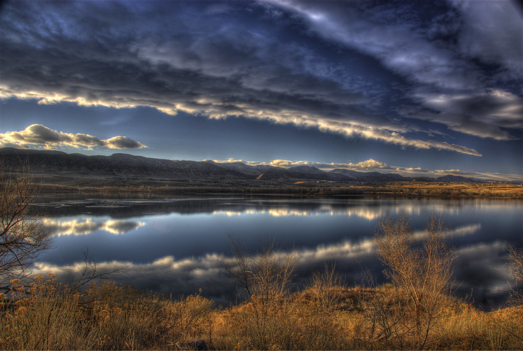
Sunrise at Chatfield Lake

garded moment

Chatfield Dam
Topographic Map of Deer Creek Rd, Littleton, CO, USA
Find elevation by address:

Places near Deer Creek Rd, Littleton, CO, USA:
10970 Deer Creek Rd
11762 S Maxwell Hill Rd
11762 S Maxwell Hill Rd
10510 Deer Creek Rd
11802 S Maxwell Hill Rd
11933 S Maxwell Hill Rd
15401 W Sampson Rd
9871 Deer Creek Rd
10710 S Deer Creek Canyon Rd
Mckinney Road & South Deer Creek Canyon Road
Mill Hollow Road
10191 Hondah Dr
11987 Flat Top Trail
9547 S Deer Creek Canyon Rd
Deer Creek
19052 Timber Falls Rd
18695 Lost Horizon Dr
19114 Silver Ranch Rd
9330 S Watson Gulch Rd
8000 S Watson Gulch Rd
Recent Searches:
- Elevation of Corso Fratelli Cairoli, 35, Macerata MC, Italy
- Elevation of Tallevast Rd, Sarasota, FL, USA
- Elevation of 4th St E, Sonoma, CA, USA
- Elevation of Black Hollow Rd, Pennsdale, PA, USA
- Elevation of Oakland Ave, Williamsport, PA, USA
- Elevation of Pedrógão Grande, Portugal
- Elevation of Klee Dr, Martinsburg, WV, USA
- Elevation of Via Roma, Pieranica CR, Italy
- Elevation of Tavkvetili Mountain, Georgia
- Elevation of Hartfords Bluff Cir, Mt Pleasant, SC, USA