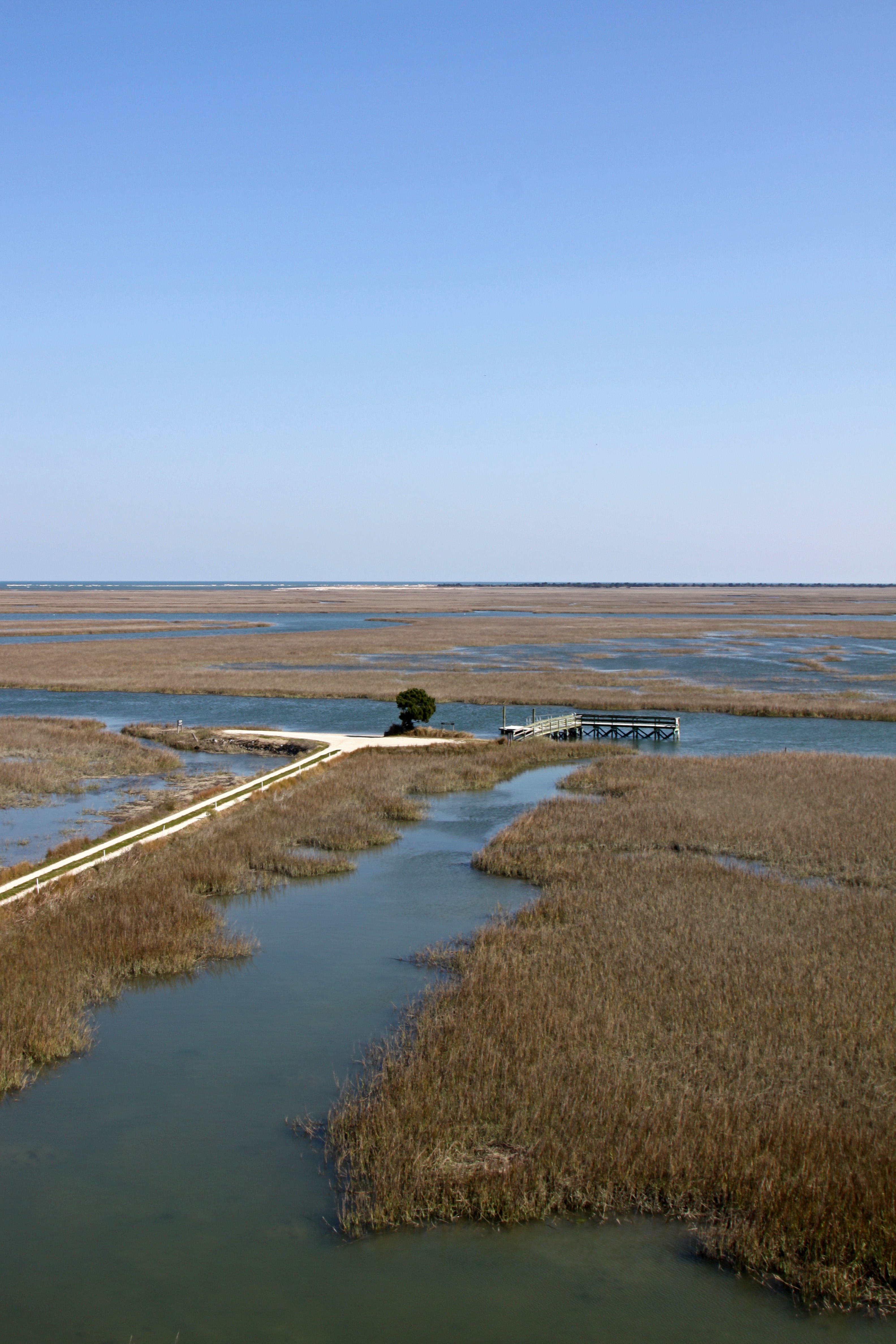
Elevation of Debidue Island, South Carolina, USA
Location: United States > South Carolina > Georgetown County > Georgetown >
Longitude: -79.1567114
Latitude: 33.3598896
Elevation: 4m / 13feet
Barometric Pressure: 0KPa
Related Photos:
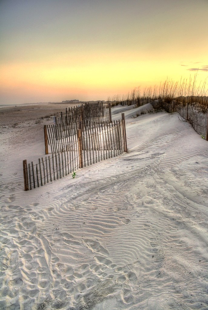
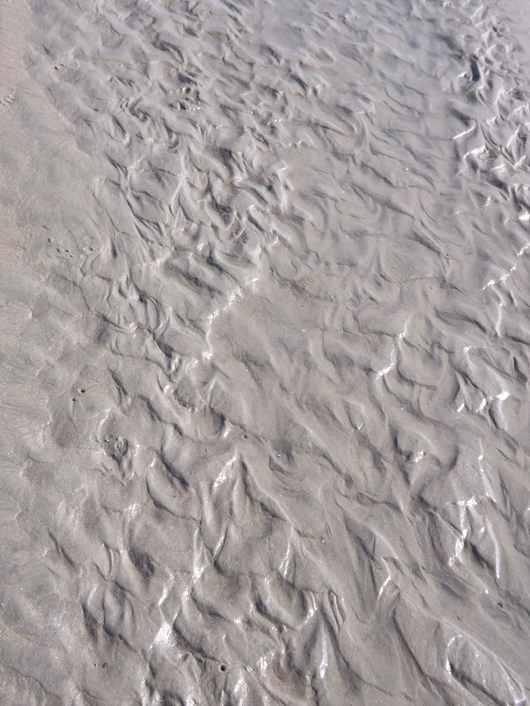
sand trap

View-A-20_Sarver_NIWBNERR
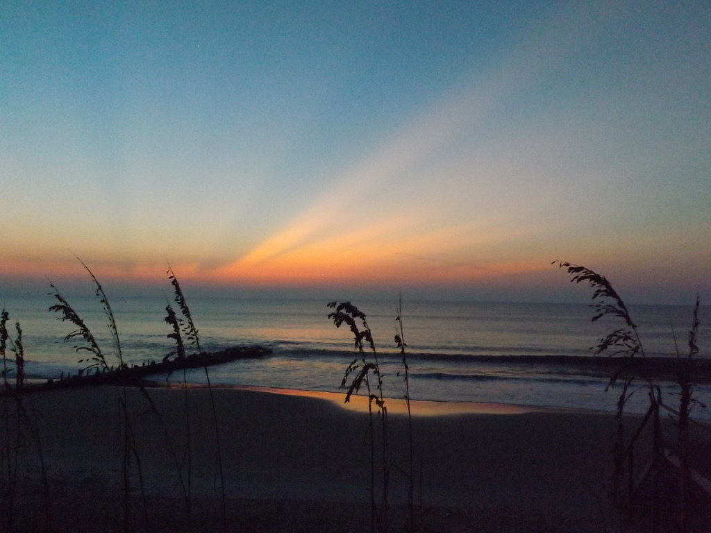
Sunrise Pawley's Island

Sowing is not as Difficult as Reaping

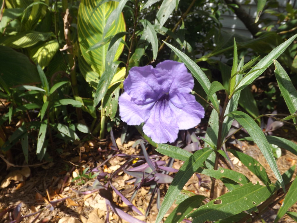
Flowers 1 of 2
Flowers 2 of 2
Video of Early morning beach waves and birds
Tower View
Mom & Dad

Who put these here?
Kaminski House
Sunrise on Meeting Street
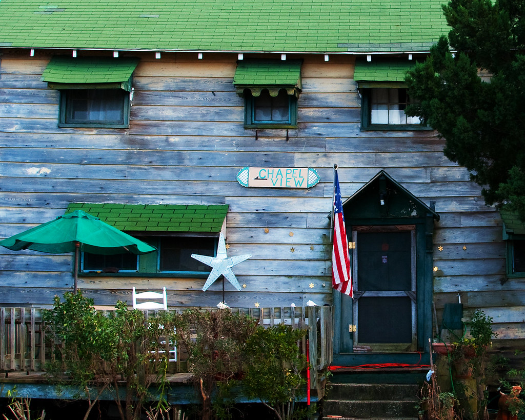
Chapel View
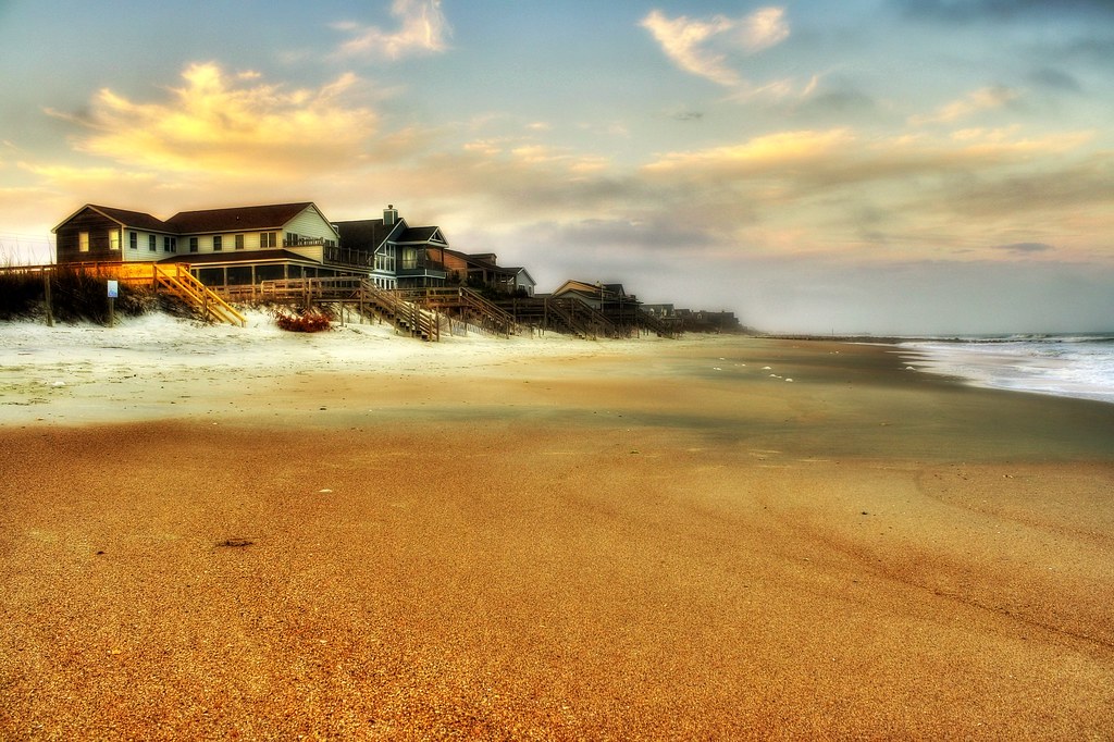
beachfront property
Decisions, Decisions

Epic view from the bridge
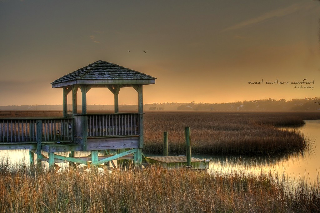
sweet southern comfort

Sunrise at Pawley's Island
pawleys island 1986 - port arthur long view
Willbrook Plantation GC, Myrtle Beach No 15 pond 2
I've had worse hotel views.
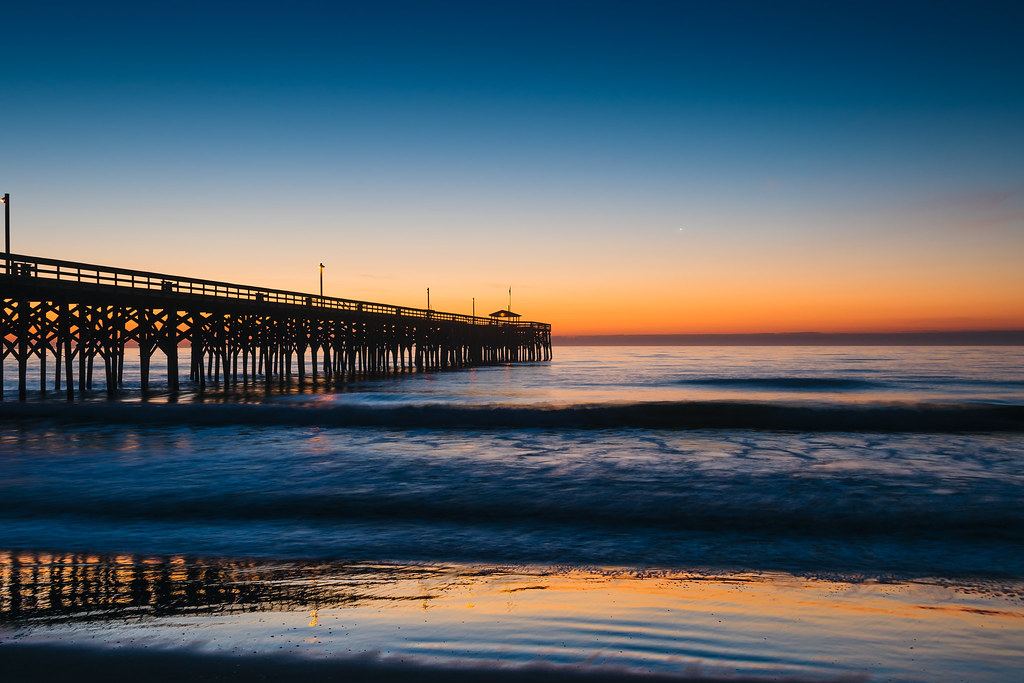
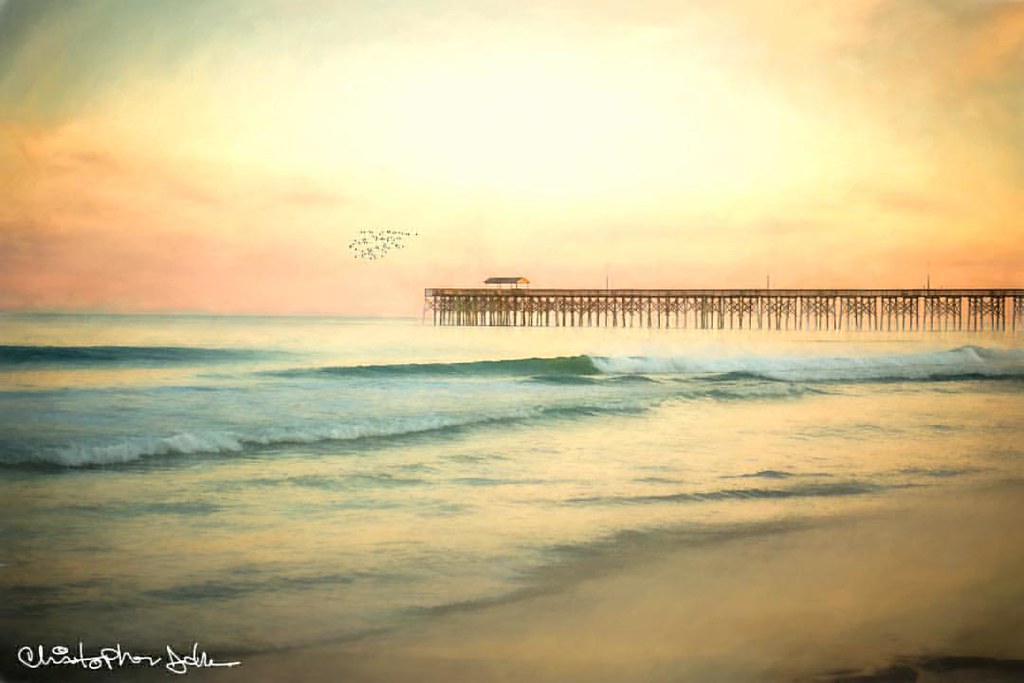
Pawley's Island Pier (South Carolina)
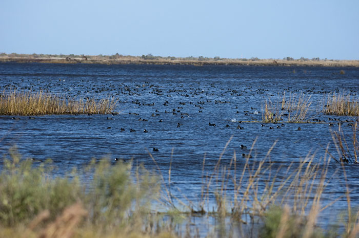
Coot Corner

Pawleys Island Sunrise
Atlantic Dawn
Pawleys Island, SC
letting go of summer

Let go to the beach

"Infrared capture" #ir #infrared #infraredphotography
Water/sand sculpture
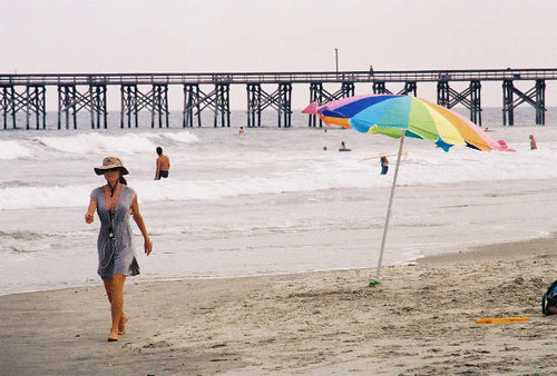
umbrella day

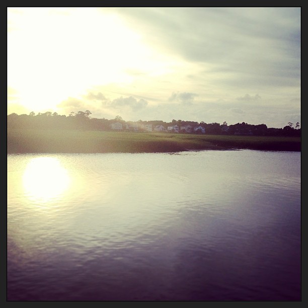
Sunset. #creekside #pawleysisland
Creek side sundown. #pawleysisland #thingsilove #creekside
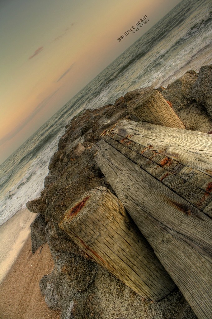
balance beam

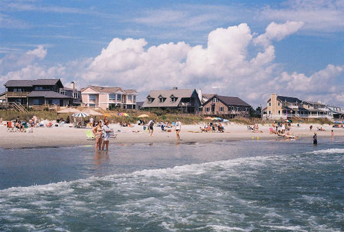
Pawleys Beach Looking South
Pawleys pier
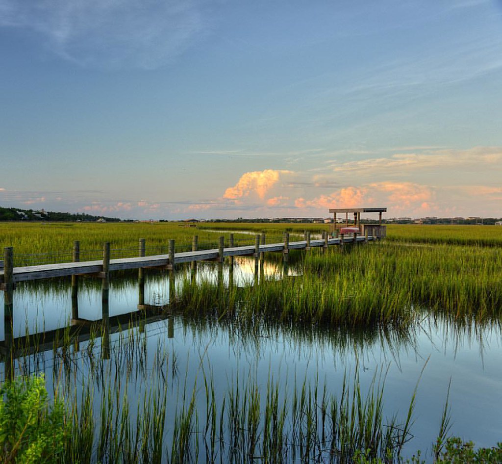
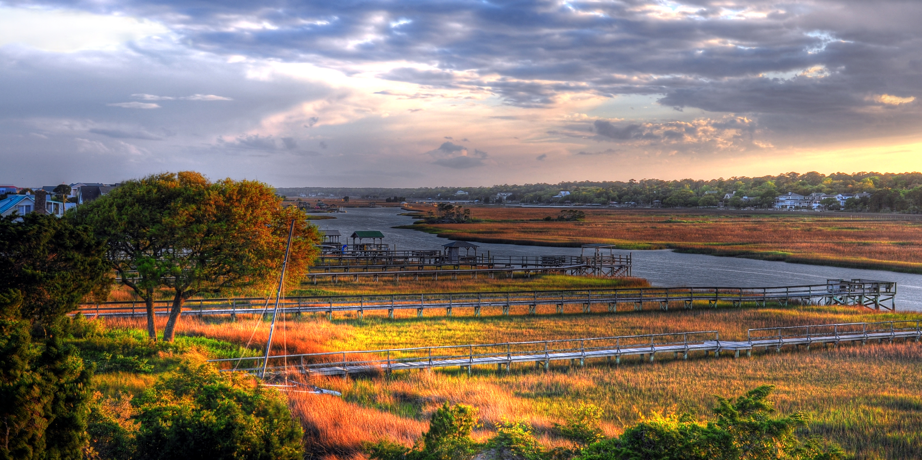
The Marsh at high tide, Pawleys Island

Panicum amarum (Bitter seabeach grass)
Marshland at #sunset gives off smooth reflections in the water and sense of peacefulness. #explore #exploremore #rei #rei1440project #rootsrated #TAC_Adventure #TAC_Exploring #instagood #outside #outdoors #OutdoorsUSA #pawley #pawleys #pawleysisland #myla
2014-09-02 13.40.59

thru the rails
Topographic Map of Debidue Island, South Carolina, USA
Find elevation by address:

Places near Debidue Island, South Carolina, USA:
380 Ocean Green Dr
354 Ocean Green Dr
344 Ocean Green Dr
340 Ocean Green Dr
Ocean Green Drive
304 Ocean Green Dr
19 Ocean Green Dr
420 Ocean Green Dr
22 Seawind Ct, Georgetown, SC, USA
60 Seawind Ct
81 Luvan Blvd
452 Colony Club Dr
673 Collins Meadow Dr
Colony Club Drive
Colony Club Drive
Colony Club Drive
68 Wallace Pate Dr
68 Wallace Pate Dr
1156 Wallace Pate Dr
210 Calais Ln
Recent Searches:
- Elevation of 24, Auburn Bay Crescent SE, Auburn Bay, Calgary, Alberta, T3M 0A6, Canada
- Elevation of Denver, 2314, Arapahoe Street, Five Points, Denver, Colorado, 80205, USA
- Elevation of Community of the Beatitudes, 2924, West 43rd Avenue, Sunnyside, Denver, Colorado, 80211, USA
- Elevation map of Litang County, Sichuan, China
- Elevation map of Madoi County, Qinghai, China
- Elevation of 3314, Ohio State Route 114, Payne, Paulding County, Ohio, 45880, USA
- Elevation of Sarahills Drive, Saratoga, Santa Clara County, California, 95070, USA
- Elevation of Town of Bombay, Franklin County, New York, USA
- Elevation of 9, Convent Lane, Center Moriches, Suffolk County, New York, 11934, USA
- Elevation of Saint Angelas Convent, 9, Convent Lane, Center Moriches, Suffolk County, New York, 11934, USA
- Elevation of 131st Street Southwest, Mukilteo, Snohomish County, Washington, 98275, USA
- Elevation of 304, Harrison Road, Naples, Cumberland County, Maine, 04055, USA
- Elevation of 2362, Timber Ridge Road, Harrisburg, Cabarrus County, North Carolina, 28075, USA
- Elevation of Ridge Road, Marshalltown, Marshall County, Iowa, 50158, USA
- Elevation of 2459, Misty Shadows Drive, Pigeon Forge, Sevier County, Tennessee, 37862, USA
- Elevation of 8043, Brightwater Way, Spring Hill, Williamson County, Tennessee, 37179, USA
- Elevation of Starkweather Road, San Luis, Costilla County, Colorado, 81152, USA
- Elevation of 5277, Woodside Drive, Baton Rouge, East Baton Rouge Parish, Louisiana, 70808, USA
- Elevation of 1139, Curtin Street, Shepherd Park Plaza, Houston, Harris County, Texas, 77018, USA
- Elevation of 136, Sellers Lane, Repton, Monroe County, Alabama, 36475, USA