Elevation of Ocean Green Drive, Ocean Green Dr, South Carolina, USA
Location: United States > South Carolina > Georgetown County > Georgetown >
Longitude: -79.154180
Latitude: 33.3581396
Elevation: 2m / 7feet
Barometric Pressure: 101KPa
Elevation Map:
Satellite Map:
Related Photos:
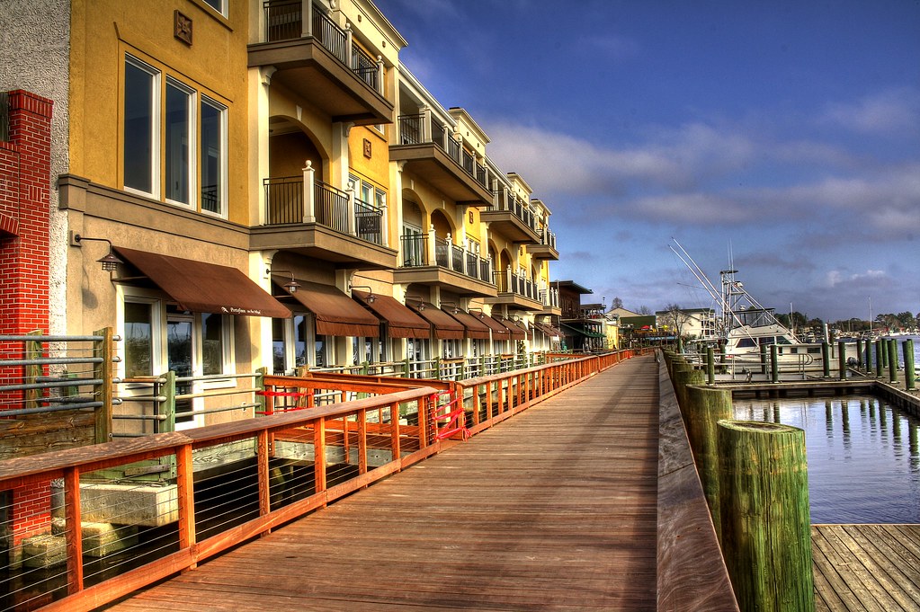
Shop, Dine or Sail?

View-A-20_Sarver_NIWBNERR
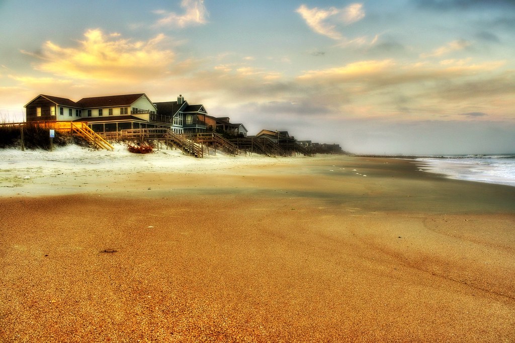
beachfront property
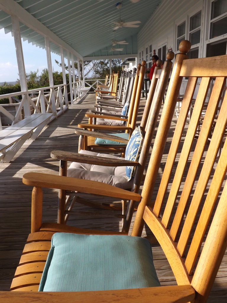
Decisions, Decisions
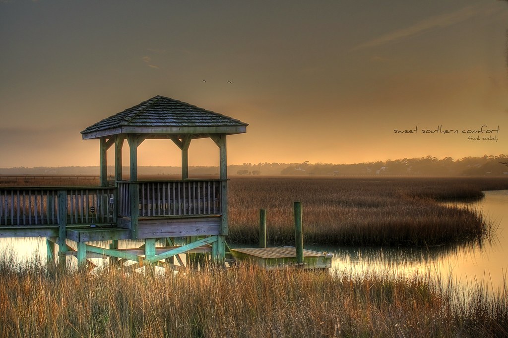
sweet southern comfort

Video of waves and sun rising
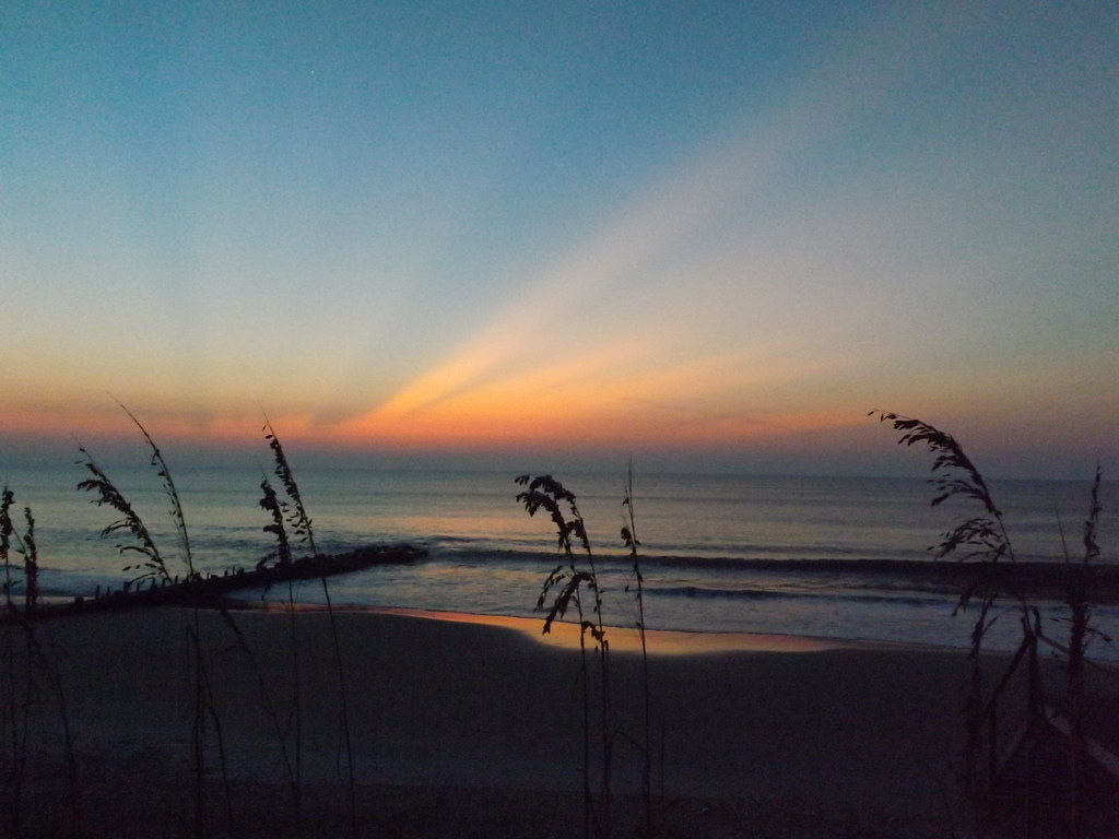
Sunrise Pawley's Island

Sunrise Pawley's Island

Flowers 1 of 2
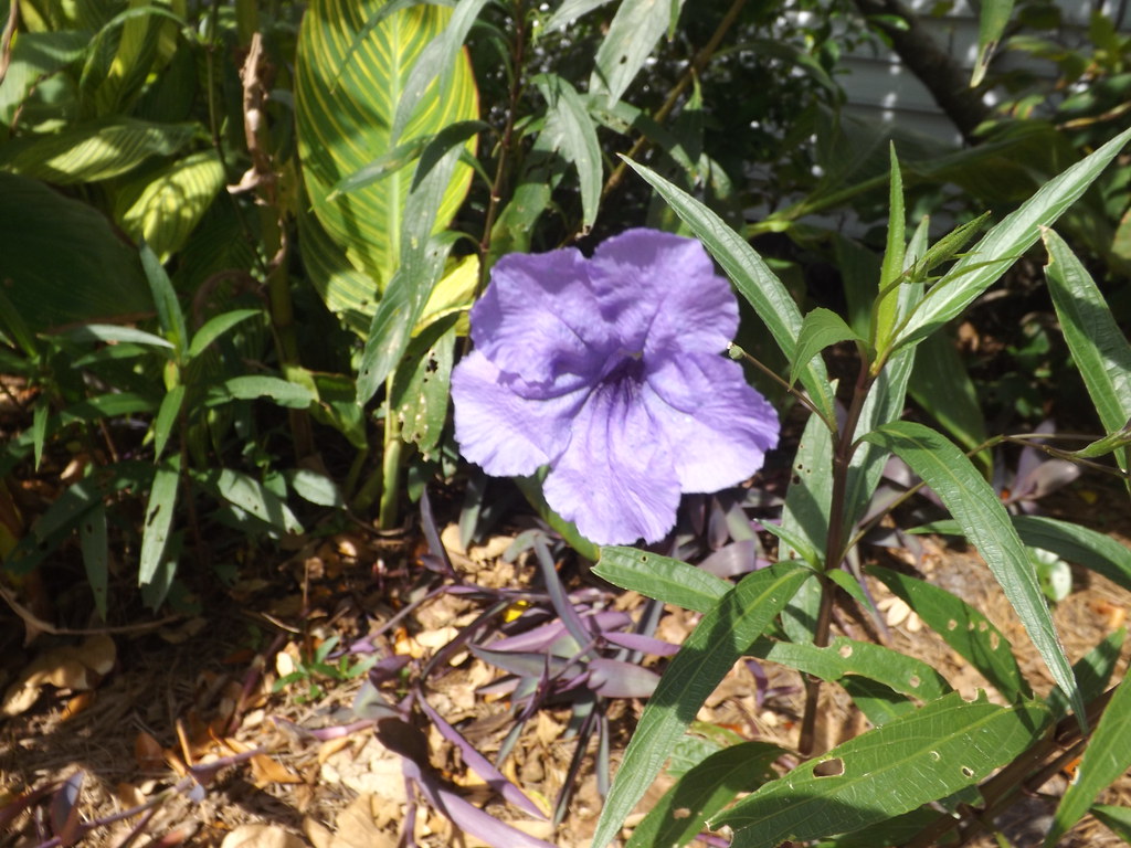
Flowers 2 of 2
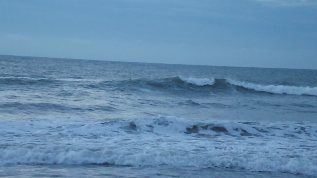
Video of Early morning beach waves and birds
South Island, view north
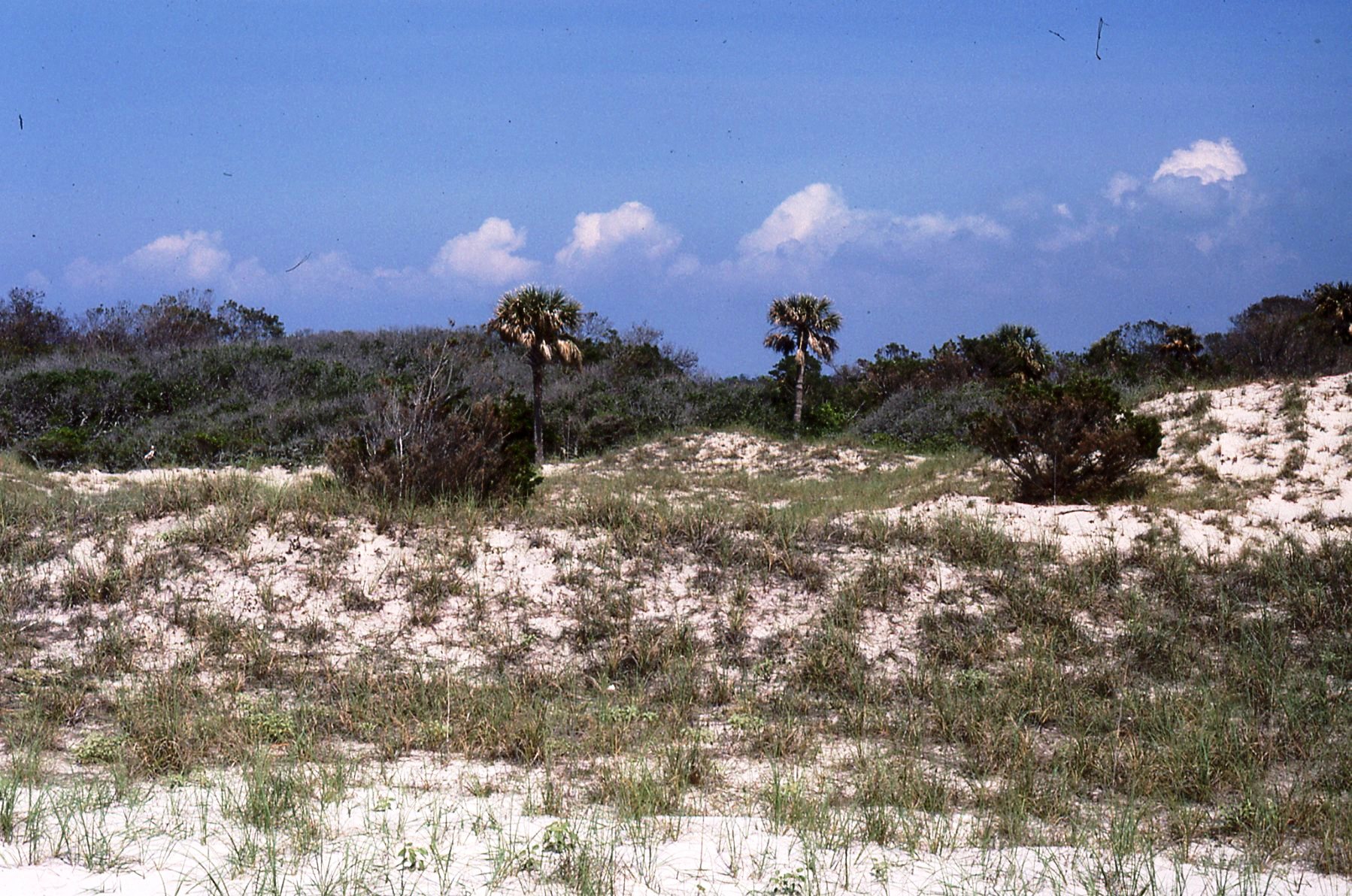
superdune, North Island
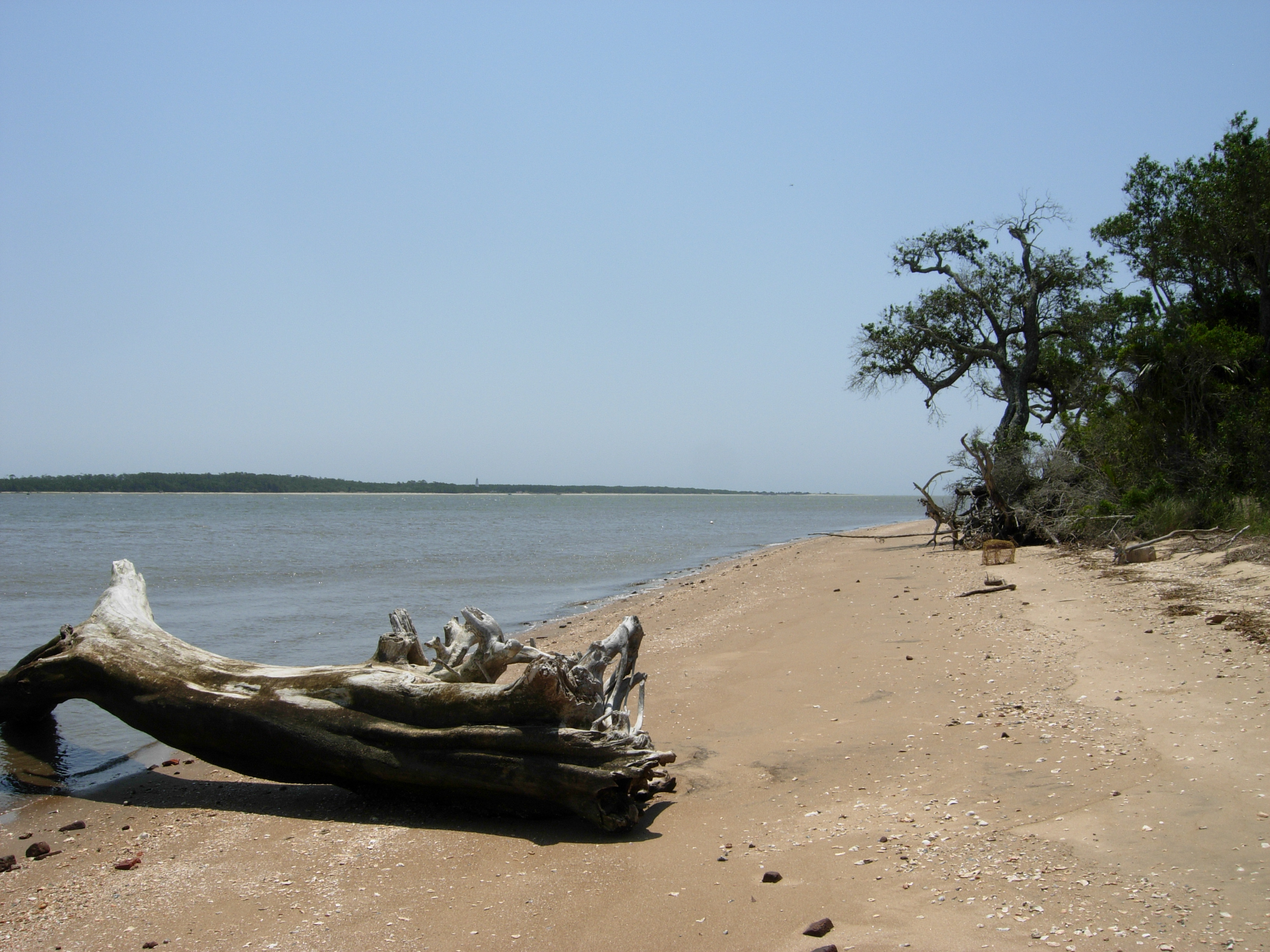
South Island, view south
My kickstand broke--SHUCKS!
Mom & Dad

Who put these here?

Another kickstand shot
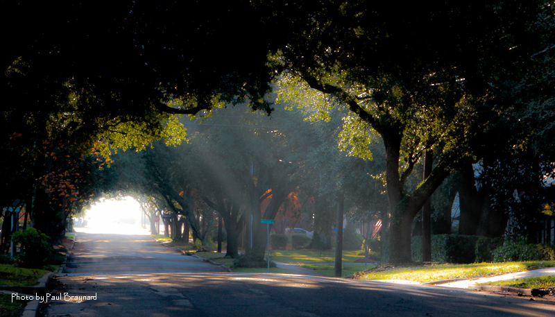
Sunrise on Meeting Street
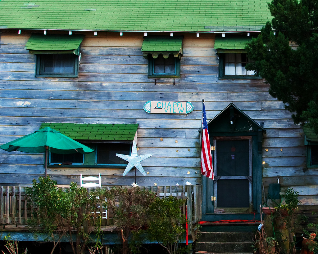
Chapel View

Epic view from the bridge

Pawleys Island Sunrise
Pawleys Island, SC
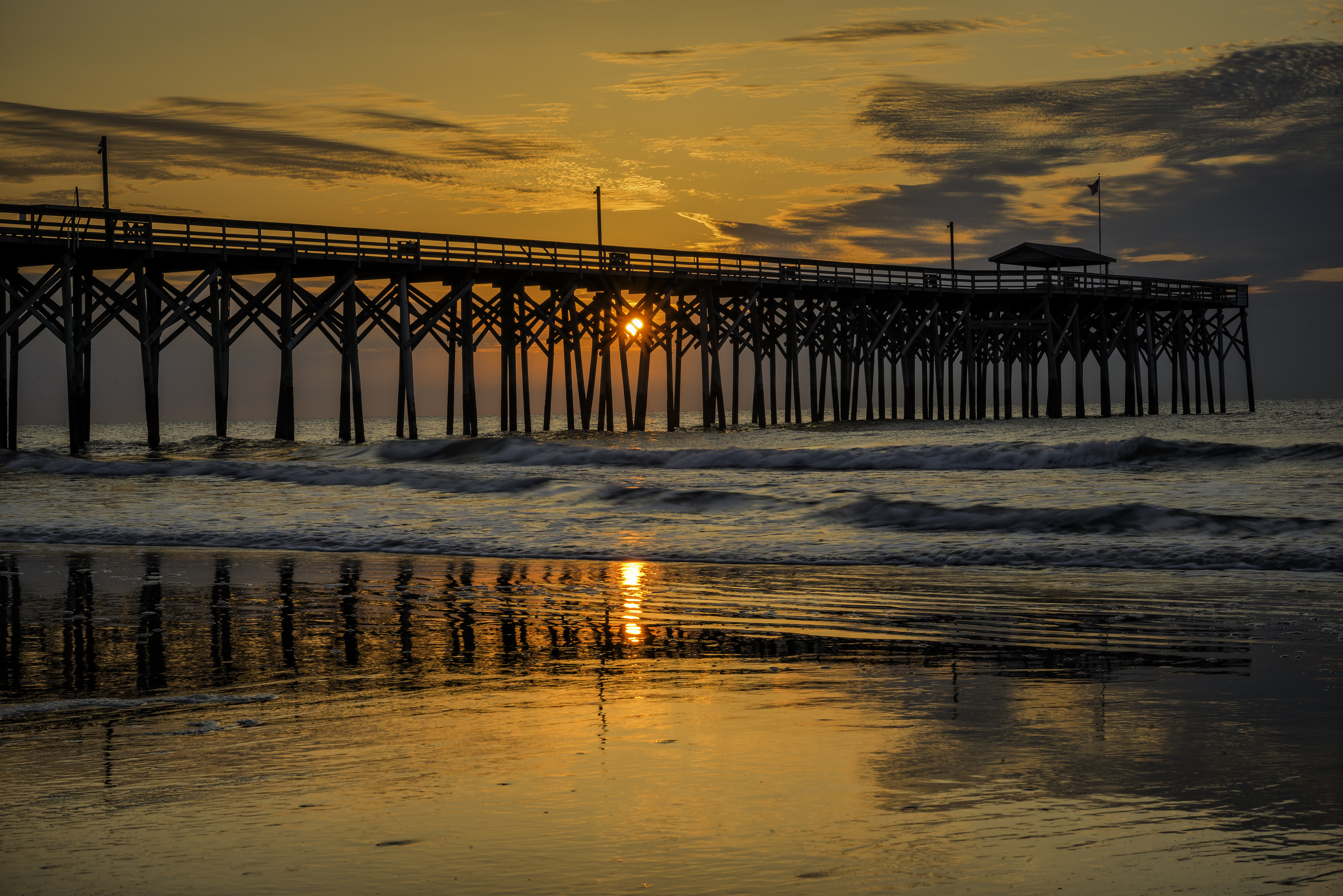
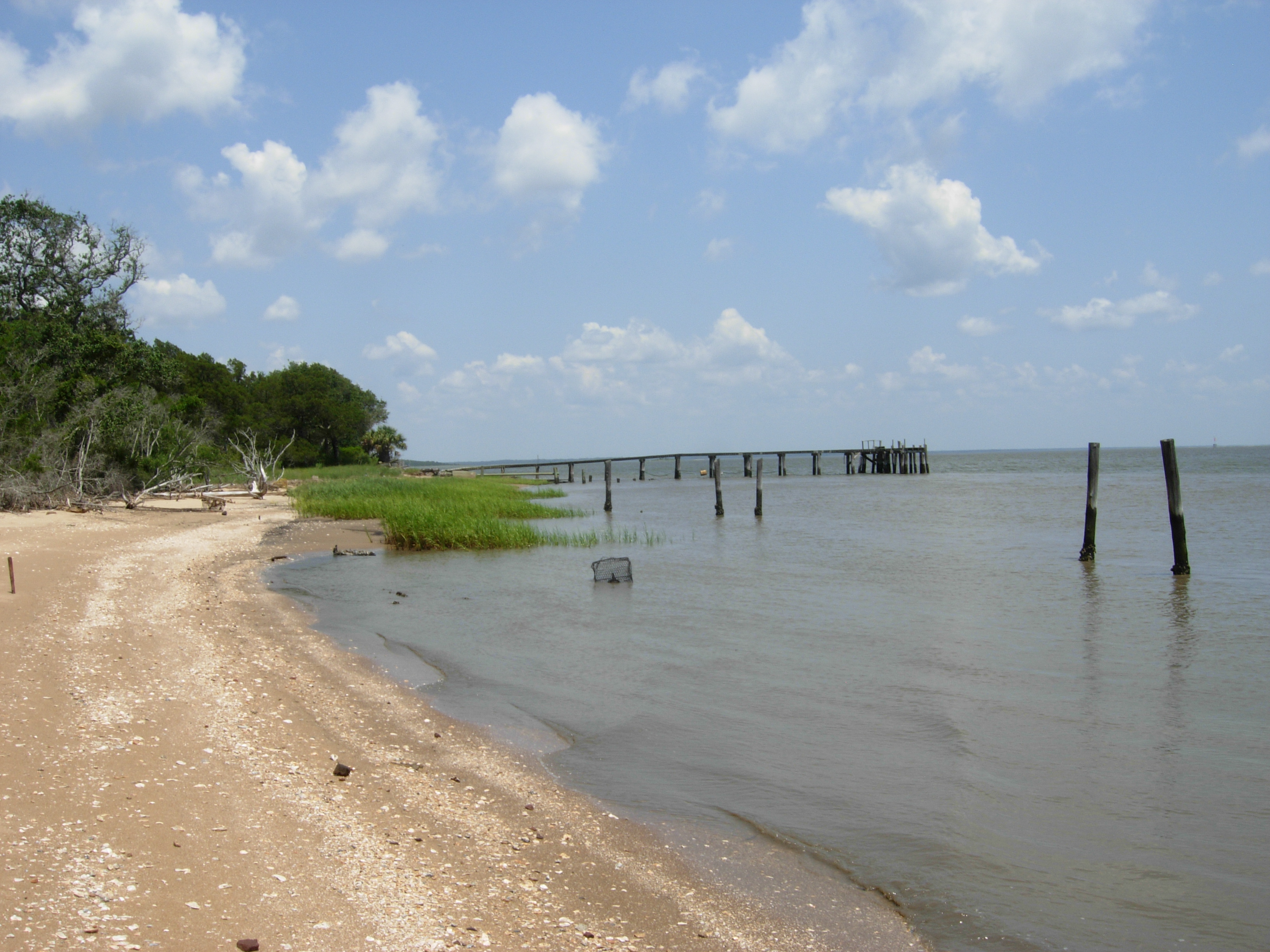
Pawley's Island Pier (South Carolina)

"Infrared capture" #ir #infrared #infraredphotography

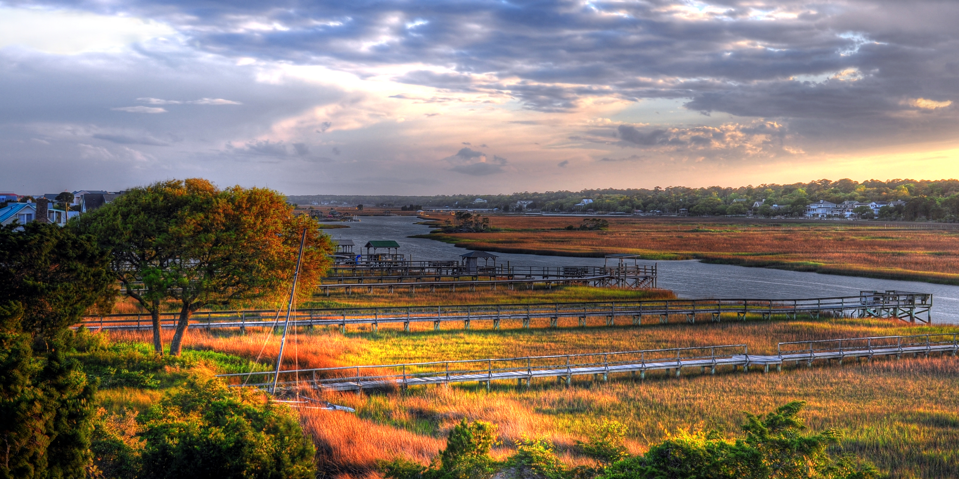
morning marsh
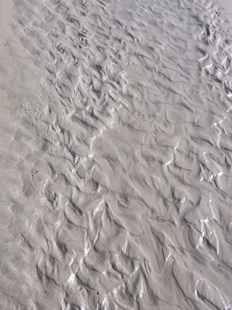
Water/sand sculpture
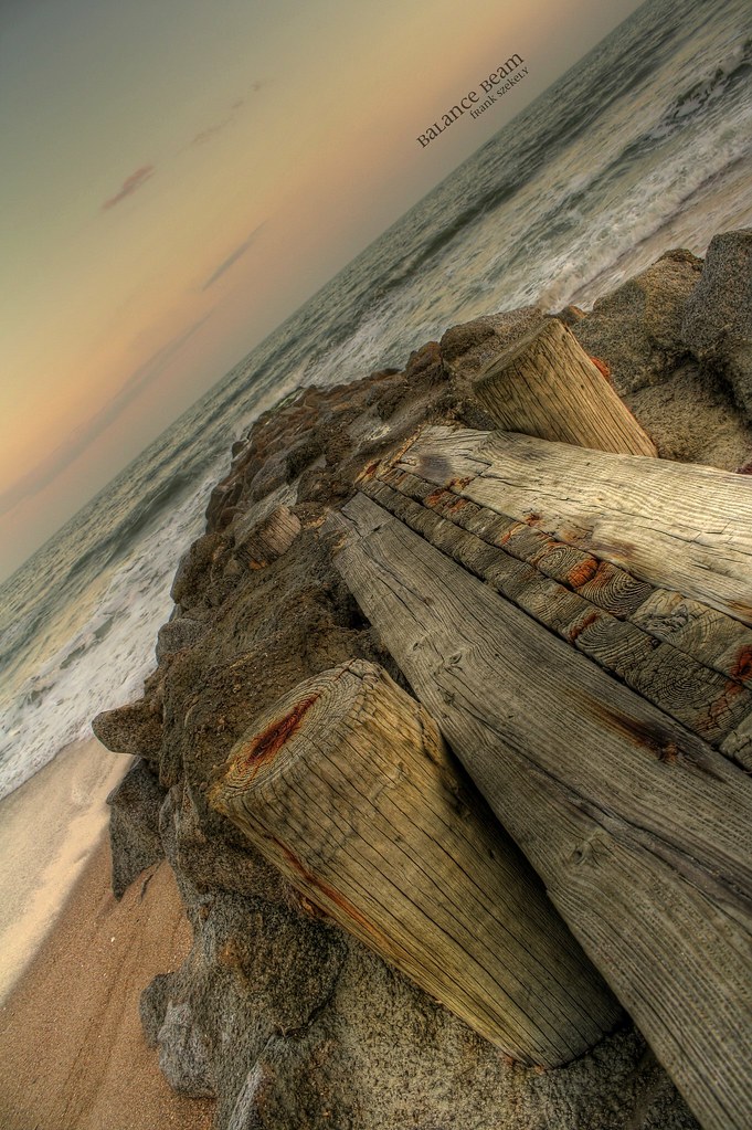
balance beam

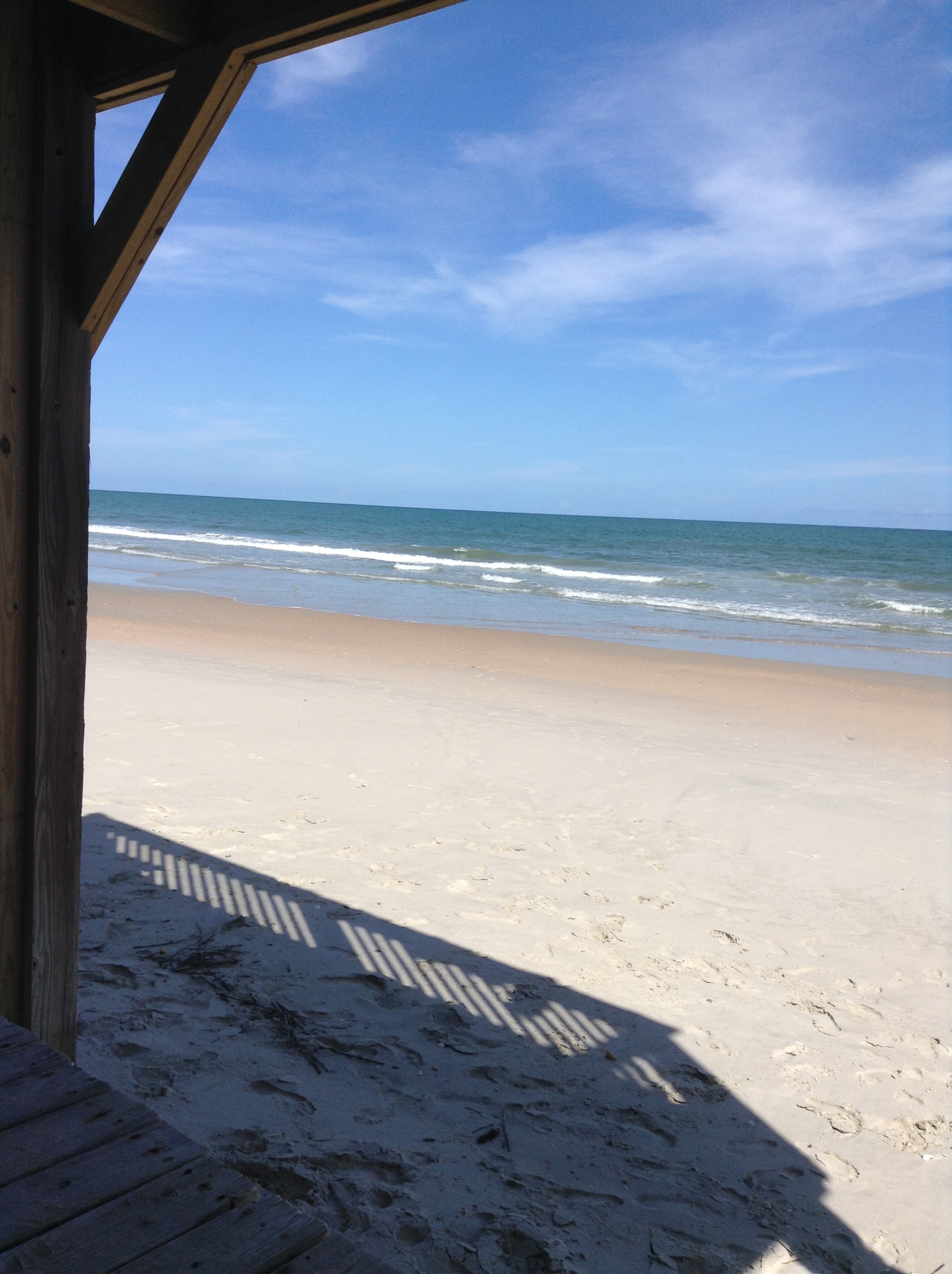
Pawleys Beach Looking South
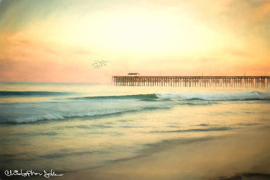
Pawleys pier
2014-09-02 13.40.59
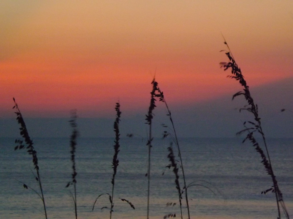
Pastel sunrise through the Sea Oats
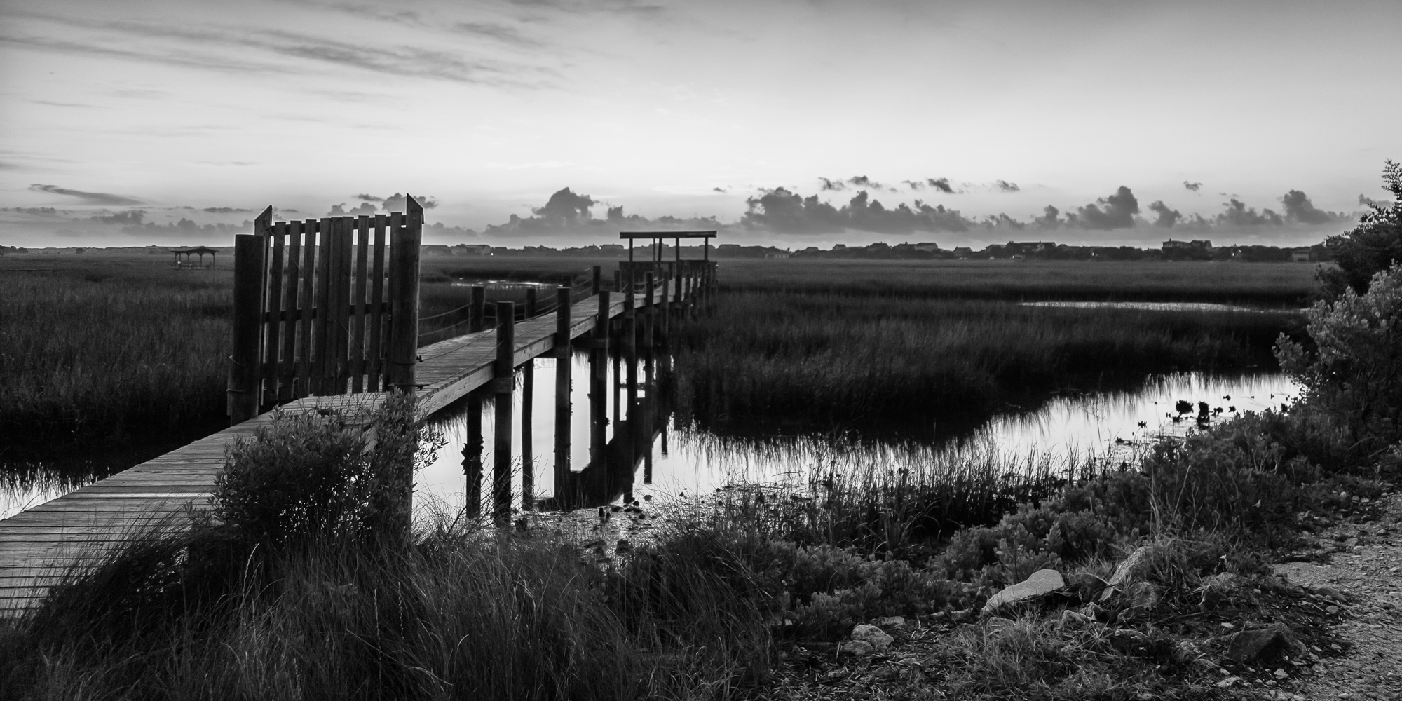
marsh bw
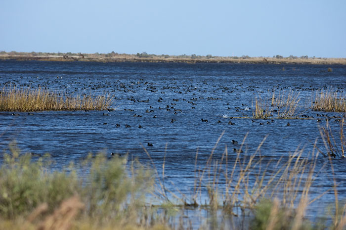
Coot Corner
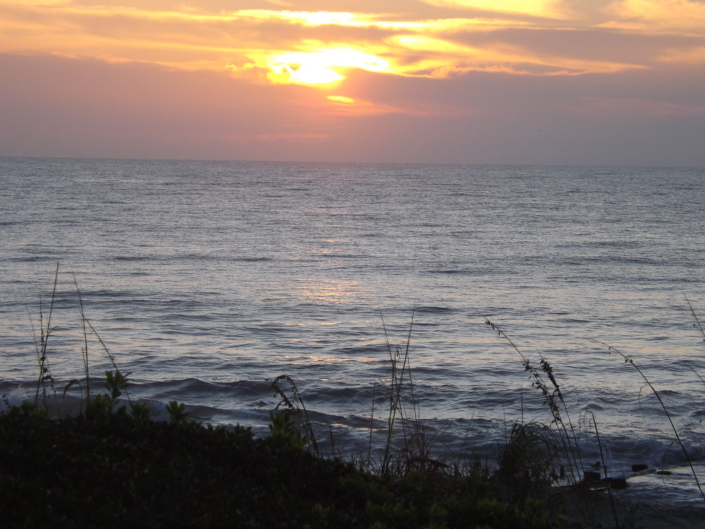
Pawleys Sunrise

Dawn at the Jetty - 2
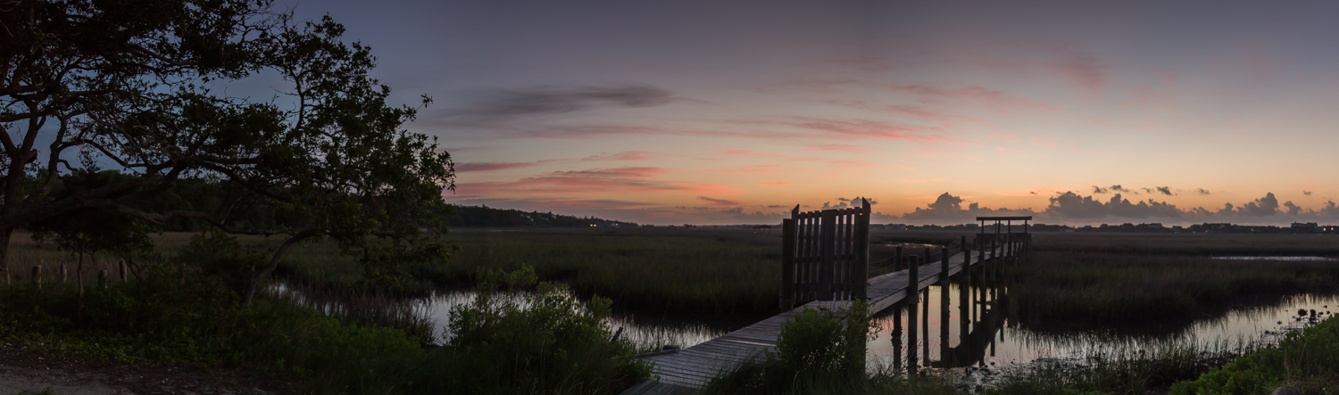
marsh pano
Hurricane over the horizon.
2014-08-31 15.37.36
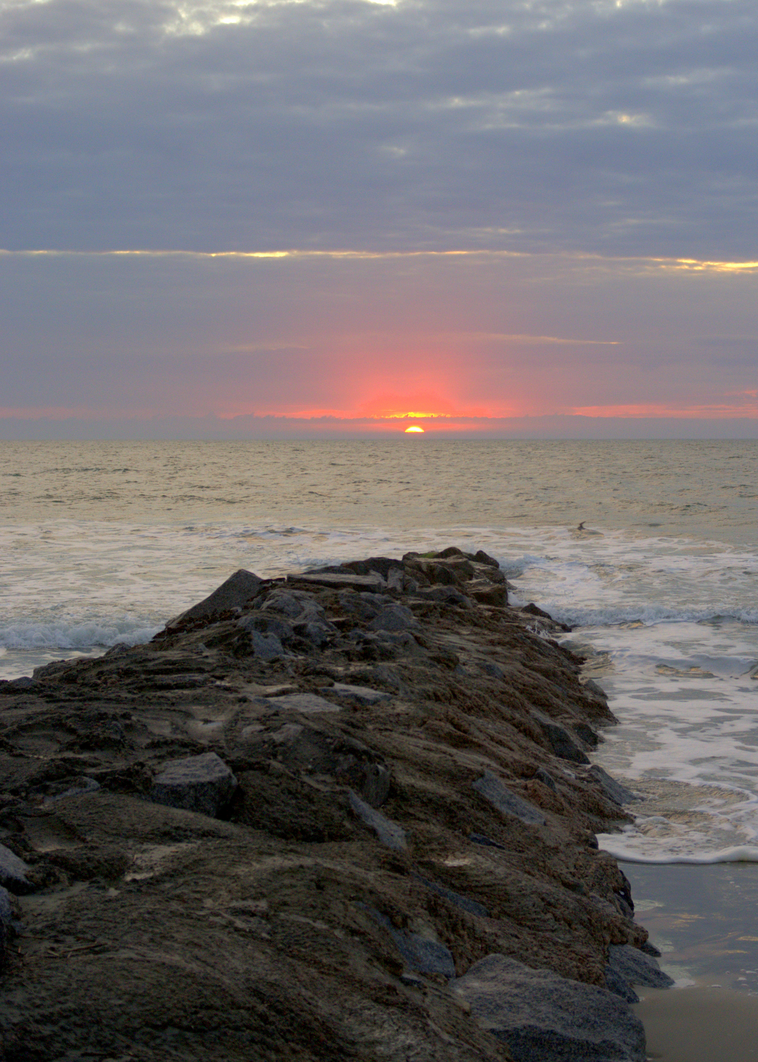
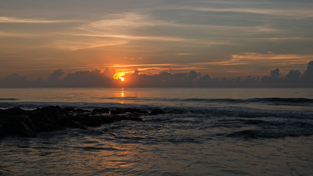
Dawn at the Jetty - 1
Topographic Map of Ocean Green Drive, Ocean Green Dr, South Carolina, USA
Find elevation by address:

Places near Ocean Green Drive, Ocean Green Dr, South Carolina, USA:
19 Ocean Green Dr
340 Ocean Green Dr
344 Ocean Green Dr
304 Ocean Green Dr
354 Ocean Green Dr
380 Ocean Green Dr
Debidue Island
420 Ocean Green Dr
22 Seawind Ct, Georgetown, SC, USA
60 Seawind Ct
81 Luvan Blvd
452 Colony Club Dr
673 Collins Meadow Dr
Colony Club Drive
Colony Club Drive
Colony Club Drive
68 Wallace Pate Dr
68 Wallace Pate Dr
1156 Wallace Pate Dr
210 Calais Ln
Recent Searches:
- Elevation of Corso Fratelli Cairoli, 35, Macerata MC, Italy
- Elevation of Tallevast Rd, Sarasota, FL, USA
- Elevation of 4th St E, Sonoma, CA, USA
- Elevation of Black Hollow Rd, Pennsdale, PA, USA
- Elevation of Oakland Ave, Williamsport, PA, USA
- Elevation of Pedrógão Grande, Portugal
- Elevation of Klee Dr, Martinsburg, WV, USA
- Elevation of Via Roma, Pieranica CR, Italy
- Elevation of Tavkvetili Mountain, Georgia
- Elevation of Hartfords Bluff Cir, Mt Pleasant, SC, USA