Elevation of Davis Township, MO, USA
Location: United States > Missouri > Henry County >
Longitude: -93.8858955
Latitude: 38.3576949
Elevation: 231m / 758feet
Barometric Pressure: 0KPa
Related Photos:

Furniture Store. Alley View. Missouri.
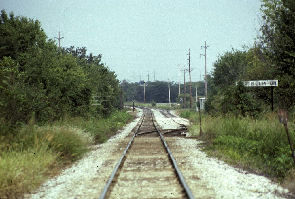
Nort Clinton Missouri on MKT
Appleton City MO
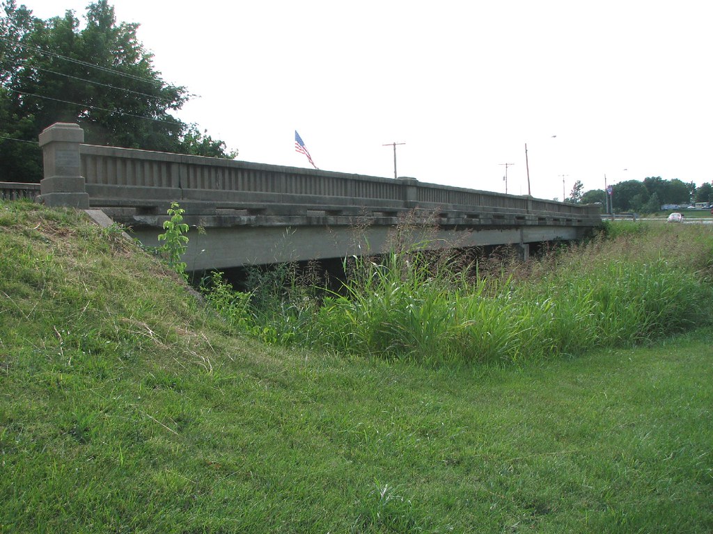
Town Creek Bridge-Side View

IMGP4104.jpg

2013-09-20 19.39.48-1

IMGP4088.jpg

IMGP4103.jpg

IMGP4078.jpg

IMGP4097.jpg

IMGP4079.jpg

IMGP4080.jpg

IMGP4105.jpg

Geocaching at the wetlands

Grandma and Jasmine at Truman Lake.

Day 52 009

field.
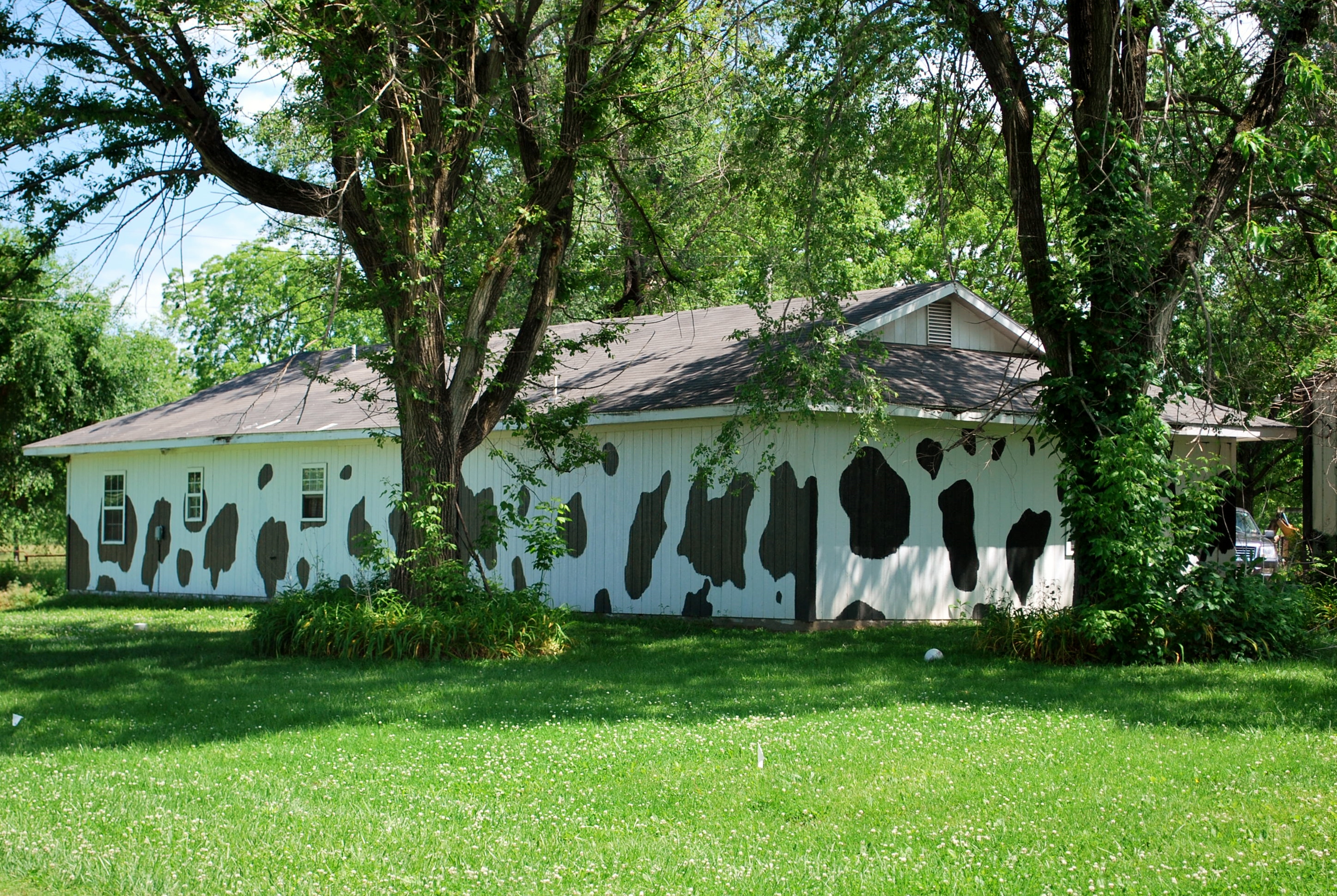
Cow house_Germantown
Topographic Map of Davis Township, MO, USA
Find elevation by address:

Places in Davis Township, MO, USA:
Places near Davis Township, MO, USA:
227 Sw Hwy T
Henry County
MO-7, Urich, MO, USA
Clinton Township
Clinton
S Washington St, Clinton, MO, USA
301 N 2nd St
White Oak Township
Main St, Urich, MO, USA
Urich
52 Ne 400 Rd
MO-13, Clinton, MO, USA
Shawnee Township
Southeast 100 Road
521 Ne Hwy Yy
Spruce Township
Ballard
SW st Rd, Holden, MO, USA
Lowry City
585 Ne Hwy V
Recent Searches:
- Elevation of Pasing, Munich, Bavaria, 81241, Germany
- Elevation of 24, Auburn Bay Crescent SE, Auburn Bay, Calgary, Alberta, T3M 0A6, Canada
- Elevation of Denver, 2314, Arapahoe Street, Five Points, Denver, Colorado, 80205, USA
- Elevation of Community of the Beatitudes, 2924, West 43rd Avenue, Sunnyside, Denver, Colorado, 80211, USA
- Elevation map of Litang County, Sichuan, China
- Elevation map of Madoi County, Qinghai, China
- Elevation of 3314, Ohio State Route 114, Payne, Paulding County, Ohio, 45880, USA
- Elevation of Sarahills Drive, Saratoga, Santa Clara County, California, 95070, USA
- Elevation of Town of Bombay, Franklin County, New York, USA
- Elevation of 9, Convent Lane, Center Moriches, Suffolk County, New York, 11934, USA
- Elevation of Saint Angelas Convent, 9, Convent Lane, Center Moriches, Suffolk County, New York, 11934, USA
- Elevation of 131st Street Southwest, Mukilteo, Snohomish County, Washington, 98275, USA
- Elevation of 304, Harrison Road, Naples, Cumberland County, Maine, 04055, USA
- Elevation of 2362, Timber Ridge Road, Harrisburg, Cabarrus County, North Carolina, 28075, USA
- Elevation of Ridge Road, Marshalltown, Marshall County, Iowa, 50158, USA
- Elevation of 2459, Misty Shadows Drive, Pigeon Forge, Sevier County, Tennessee, 37862, USA
- Elevation of 8043, Brightwater Way, Spring Hill, Williamson County, Tennessee, 37179, USA
- Elevation of Starkweather Road, San Luis, Costilla County, Colorado, 81152, USA
- Elevation of 5277, Woodside Drive, Baton Rouge, East Baton Rouge Parish, Louisiana, 70808, USA
- Elevation of 1139, Curtin Street, Shepherd Park Plaza, Houston, Harris County, Texas, 77018, USA