Elevation of Spruce Township, MO, USA
Location: United States > Missouri > Bates County >
Longitude: -94.130906
Latitude: 38.3493404
Elevation: 258m / 846feet
Barometric Pressure: 98KPa
Elevation Map:
Satellite Map:
Related Photos:

Botaurus lentiginosus, American Bittern
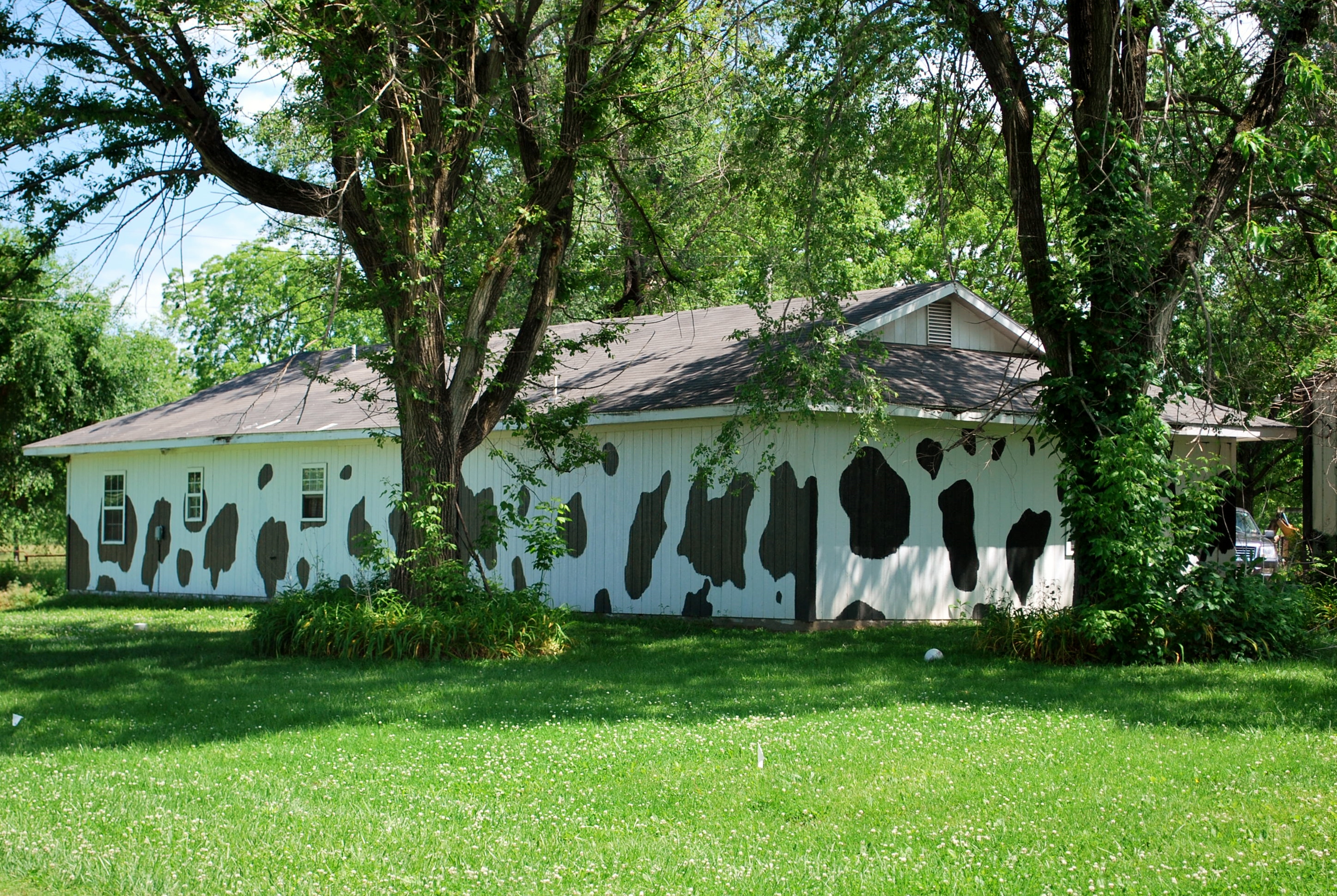
Cow house_Germantown
Bare Wood
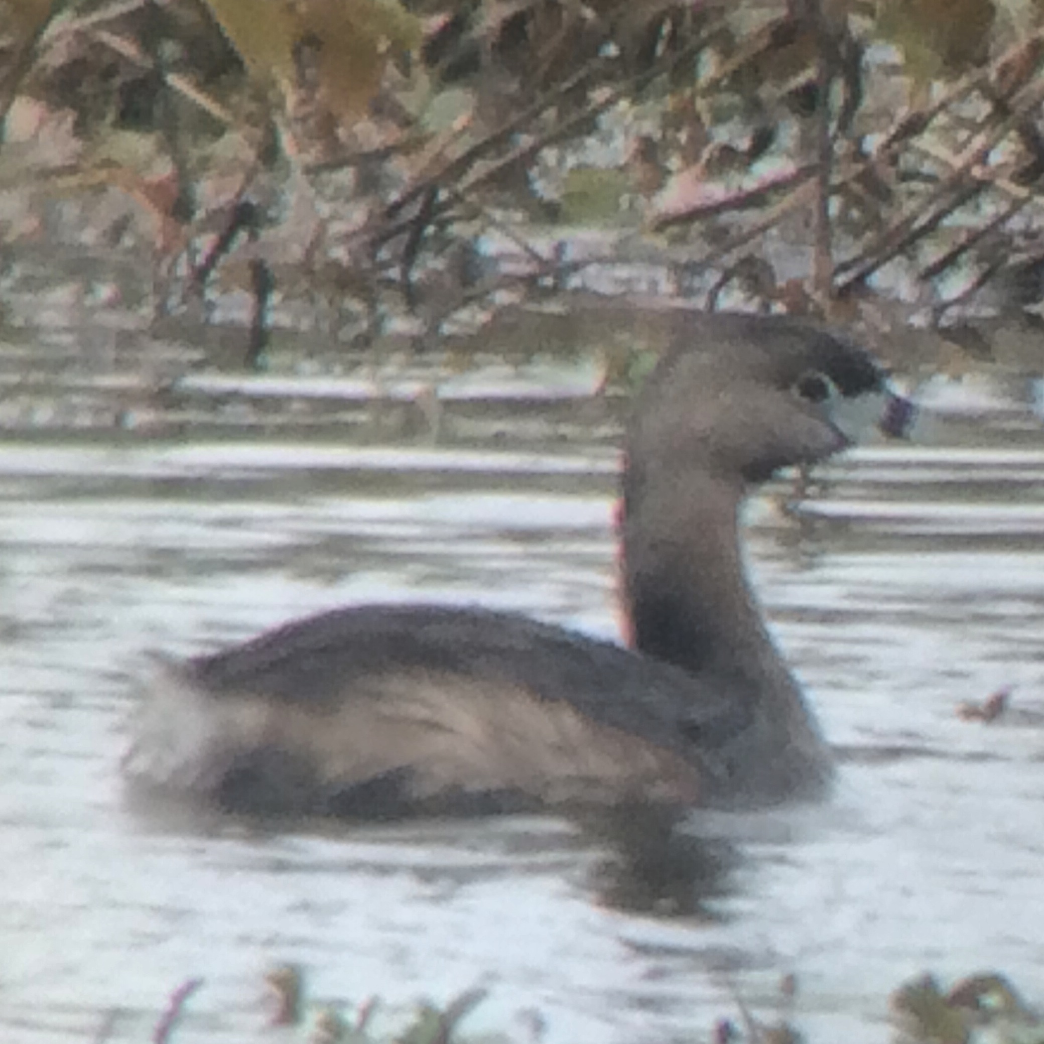
Pied-billed Grebe (Podilymbus podiceps)
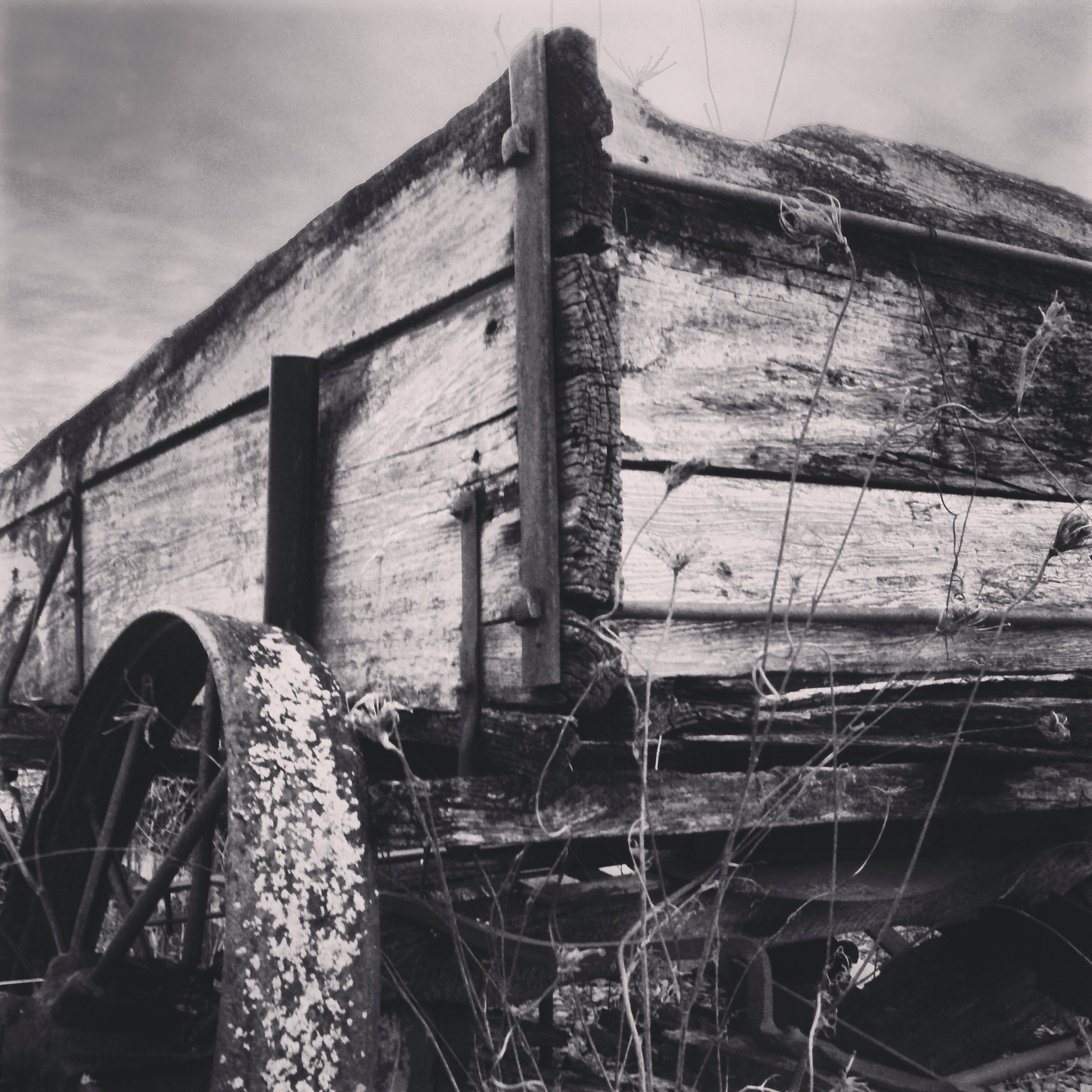
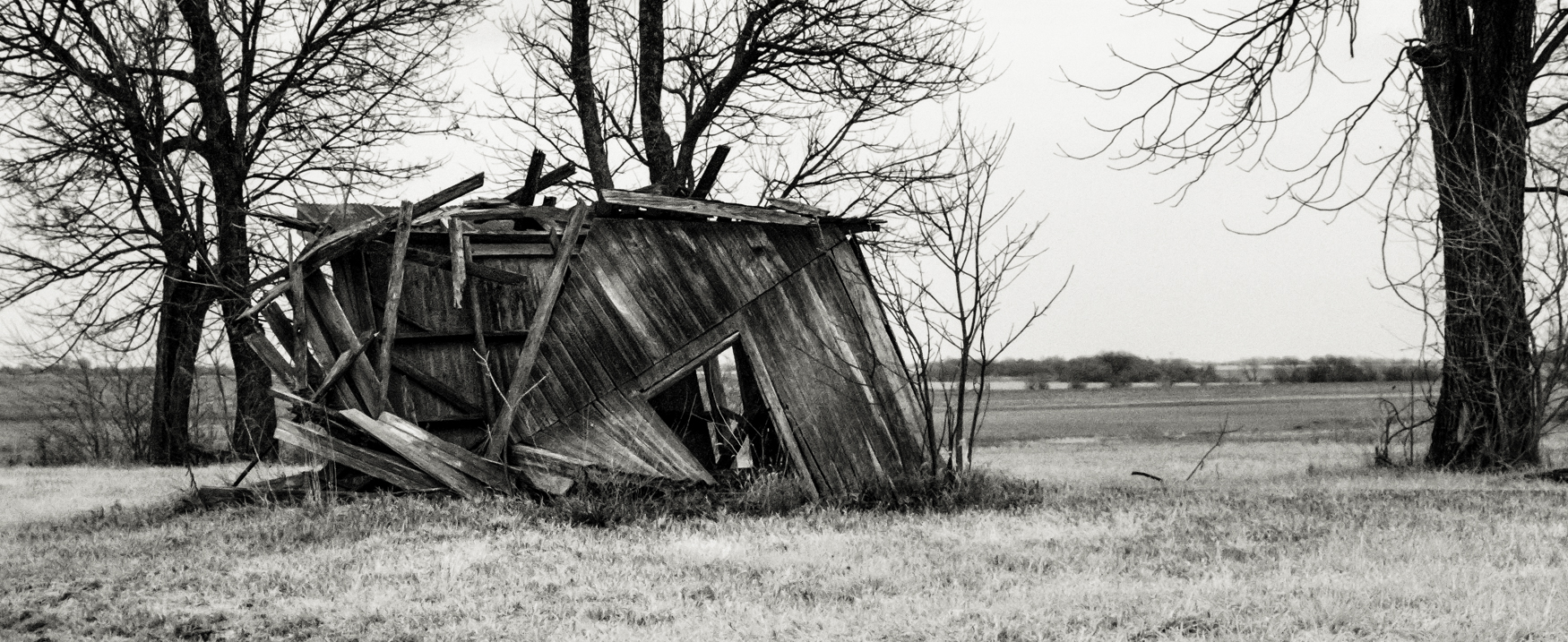
This wagon's end days
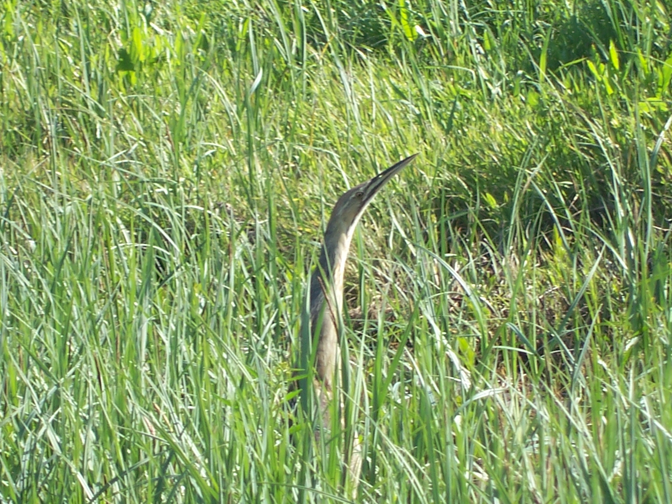
Botaurus lentiginosus, American Bittern
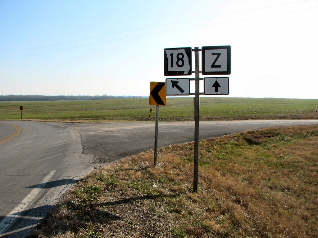
Can't Go Straight
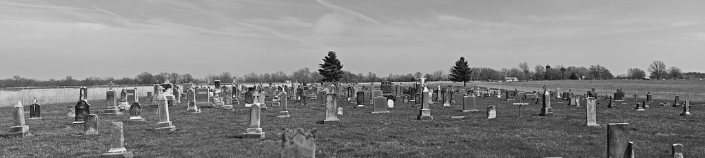
German Town, Missouri
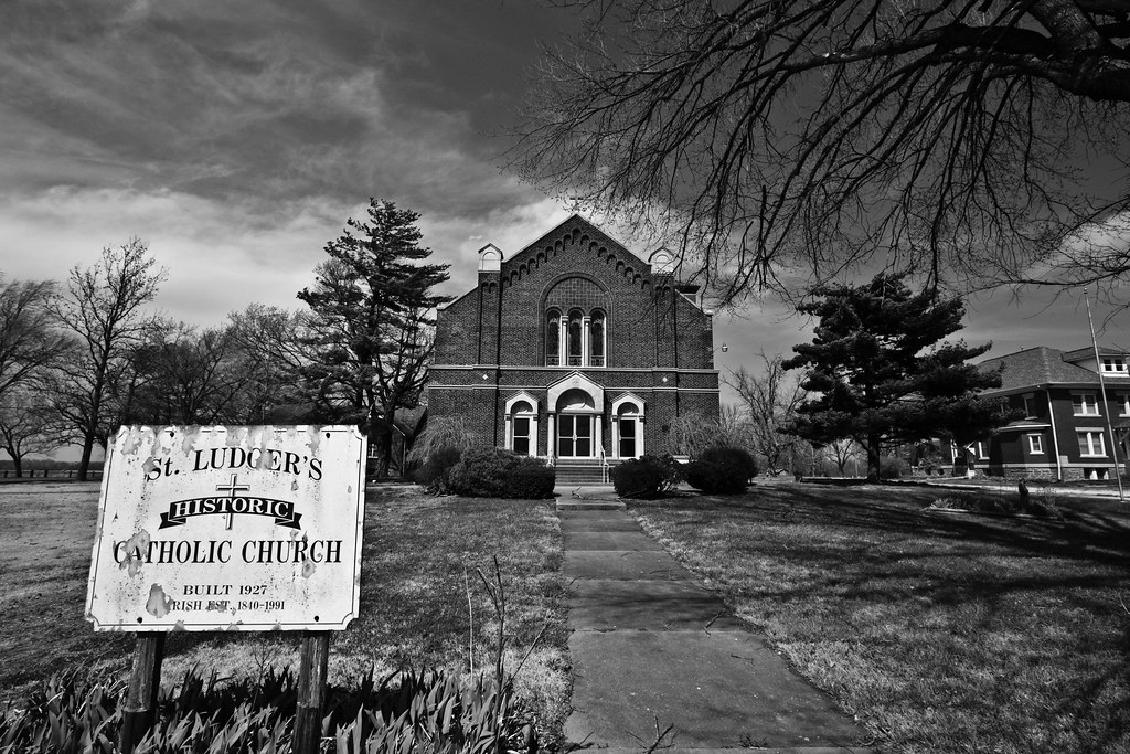
German Town, Missouri
Topographic Map of Spruce Township, MO, USA
Find elevation by address:

Places in Spruce Township, MO, USA:
Places near Spruce Township, MO, USA:
Ballard
White Oak Township
34500 S Dayton Ave
Main St, Urich, MO, USA
Urich
Dayton Township
MO-7, Urich, MO, USA
Garden City
Davis Township
227 Sw Hwy T
Vernon Ave, Rockville, MO, USA
Rockville
Rockville Township
Henry County
Clinton Township
Schell City
SW st Rd, Holden, MO, USA
378 S Hickory St
Clinton
S Washington St, Clinton, MO, USA
Recent Searches:
- Elevation of Corso Fratelli Cairoli, 35, Macerata MC, Italy
- Elevation of Tallevast Rd, Sarasota, FL, USA
- Elevation of 4th St E, Sonoma, CA, USA
- Elevation of Black Hollow Rd, Pennsdale, PA, USA
- Elevation of Oakland Ave, Williamsport, PA, USA
- Elevation of Pedrógão Grande, Portugal
- Elevation of Klee Dr, Martinsburg, WV, USA
- Elevation of Via Roma, Pieranica CR, Italy
- Elevation of Tavkvetili Mountain, Georgia
- Elevation of Hartfords Bluff Cir, Mt Pleasant, SC, USA