Elevation of Davis Ranch Rd, Bellvue, CO, USA
Location: United States > Colorado > Bellvue >
Longitude: -105.28628
Latitude: 40.6178
Elevation: 2259m / 7411feet
Barometric Pressure: 77KPa
Elevation Map:
Satellite Map:
Related Photos:

Metamorphosis of Lightning {explore}
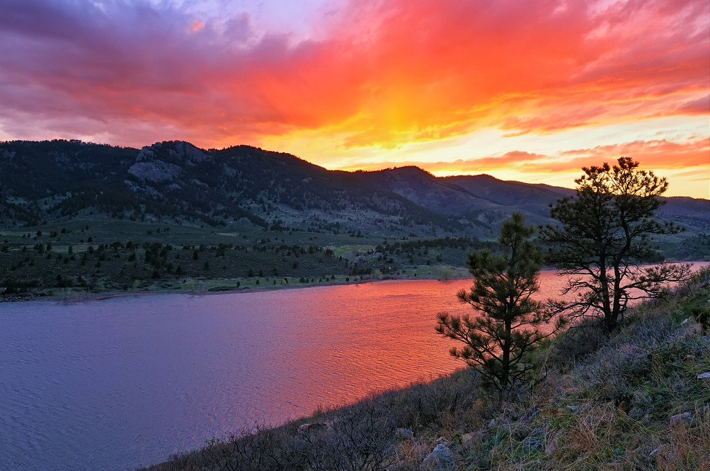
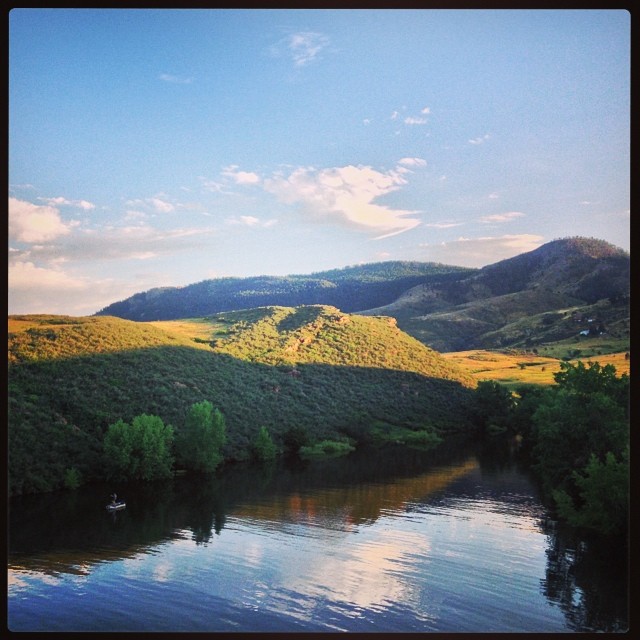
Horsetooth Glow
Old Flowers Road Sunset Vibrance

Jewels of the Glen
My Reward

-Rocky Mountain Layers- View from Horsetooth rock The more clearly we can focus our attention on the wonders and realities of the universe about us, the less taste we shall have for destruction. -Rachel Carson
Into the Mist
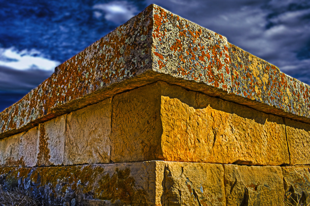
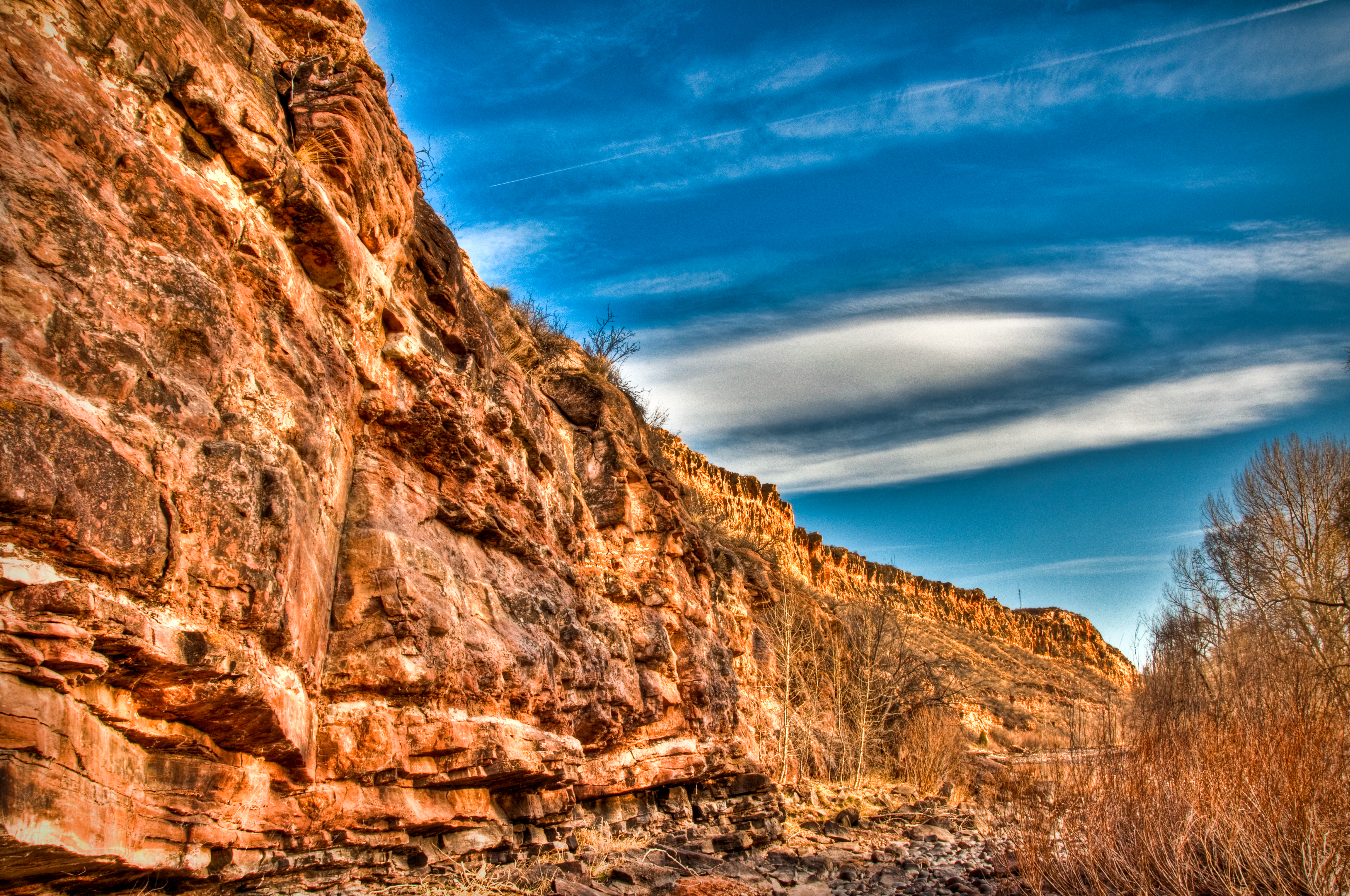
Lichen and orange stone

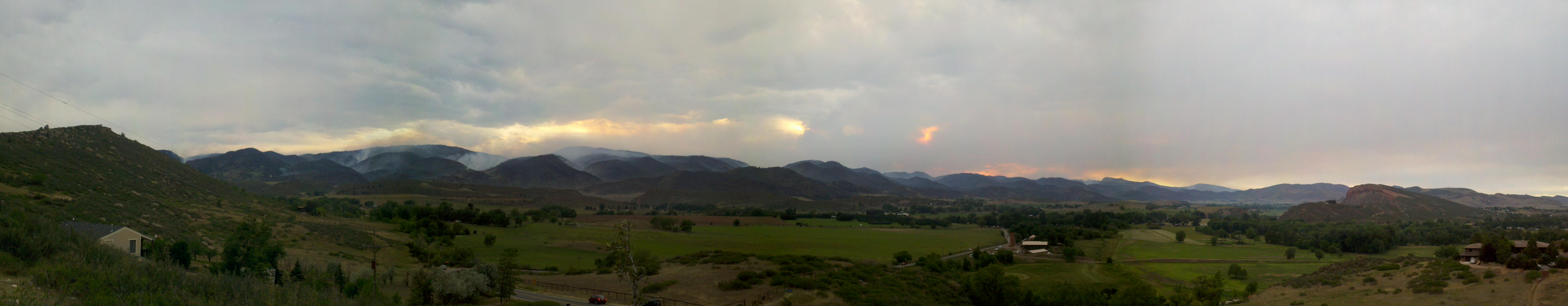
A Wind-Stoked High Park Fire Plume Rises Above Pleasant Valley
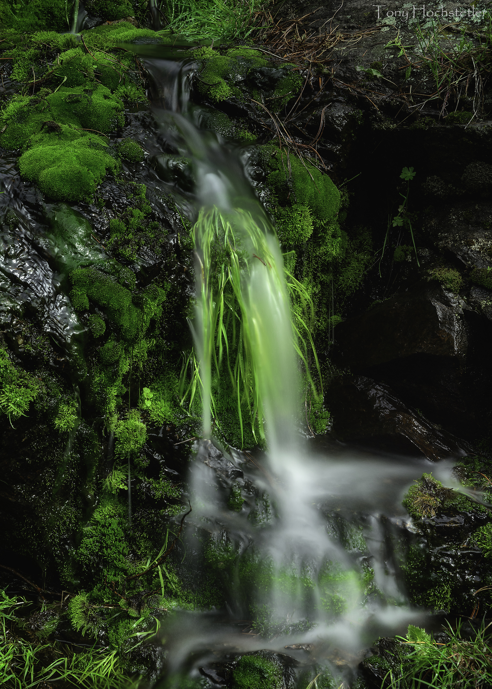
Water and Moss
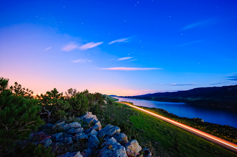
Horsetooth at night
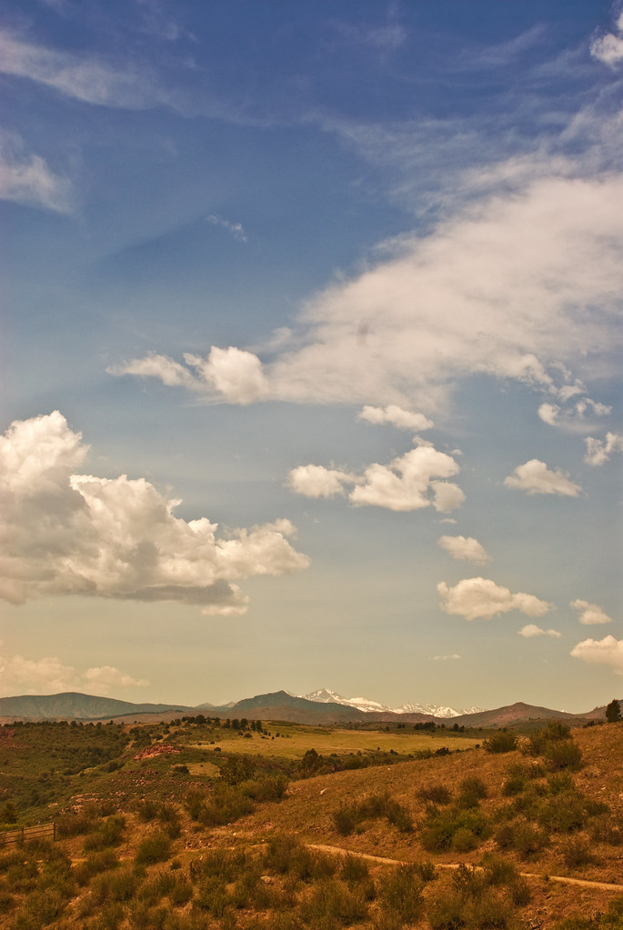
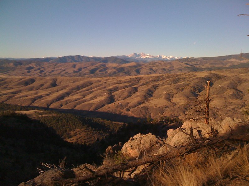
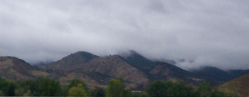
Northern Colorado
Our favorite swimming spot, #Satanka Cove, may be completely flooded, but the view from the rocks above makes up for that. (And we already found alternative swimming spot for later.)
Watson Lake HDR

Lots of Me in Bubbles
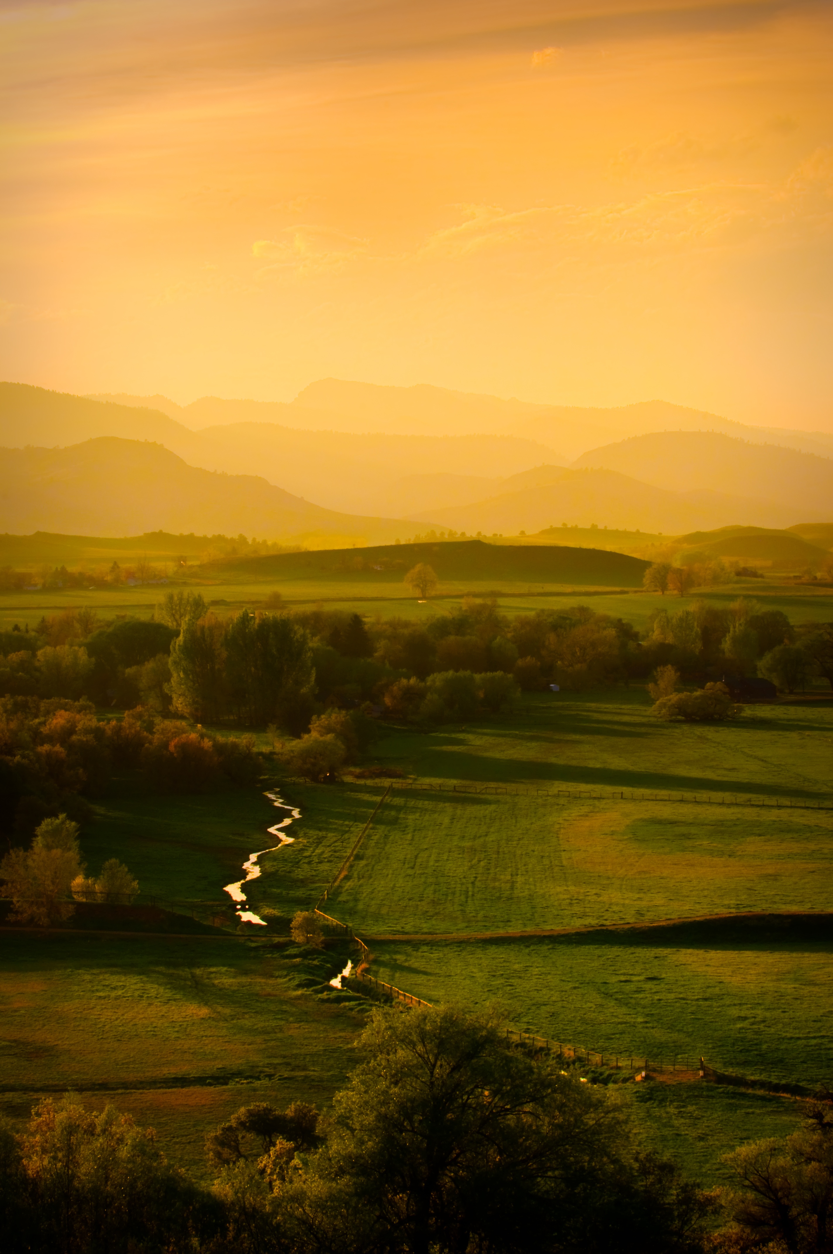
Golden Fields

Lovely #Horsetooth #sunset #picnic view number 1.
near Horsetooth Heights, CO, United States
on.base.collage
pan view
View west from Bingham Hill (left-to-right: north end of reservoir, Rist canyon, Poudre Canyon, Greyrock)
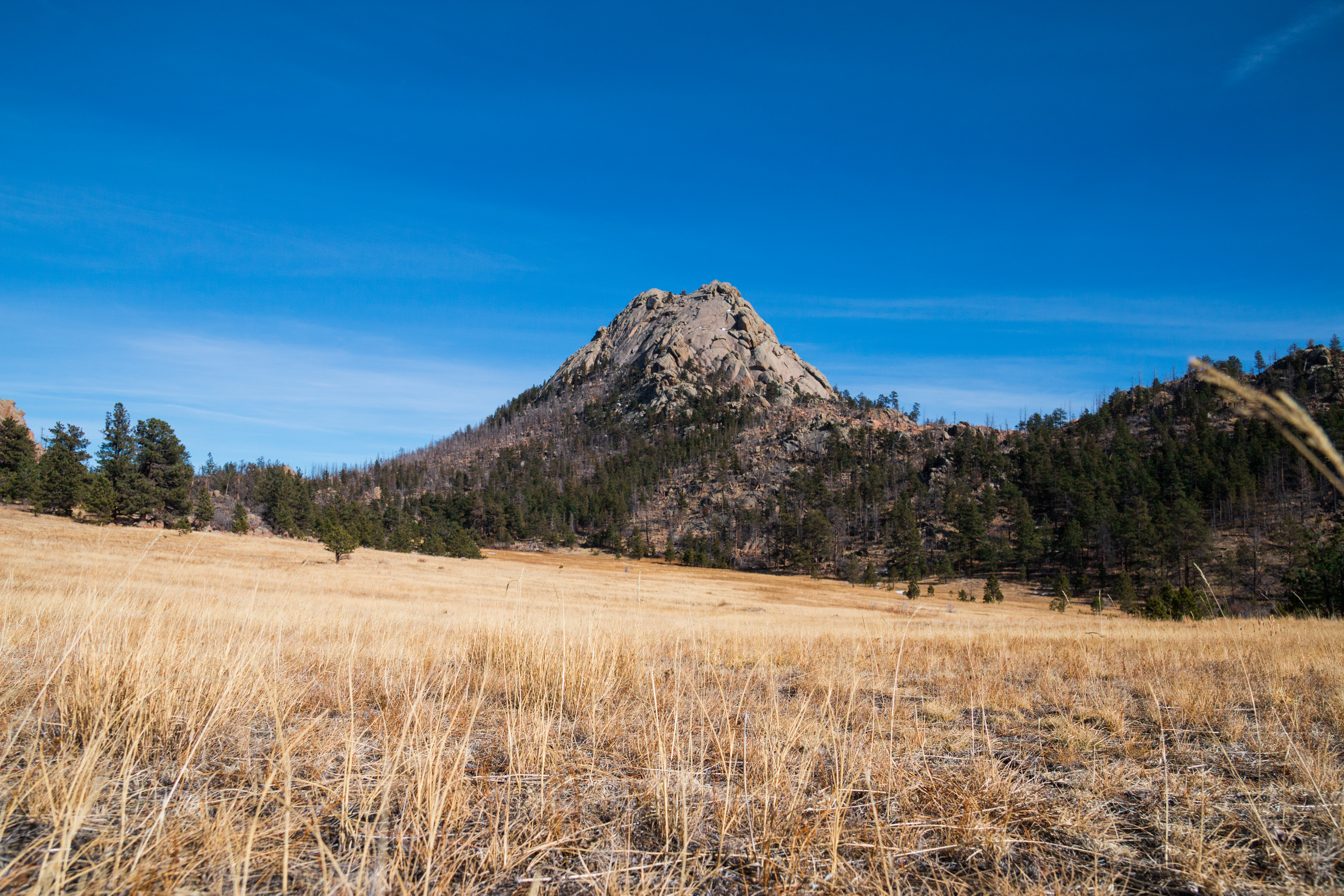
Grey Rock

-The Divide- Ocho Rios, Jamaica

Rainbow over Fort Collins

Explosive Destruction of the High Park Fire: June 10th, 2012
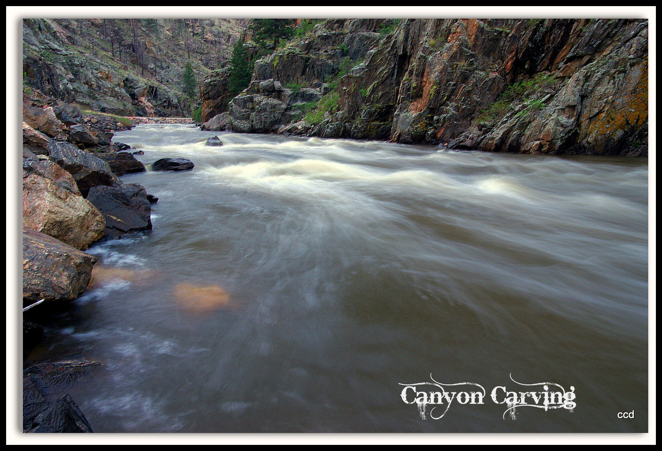
Poudre Lower Narrows
Poudre River
A Poudre Canyon Passage
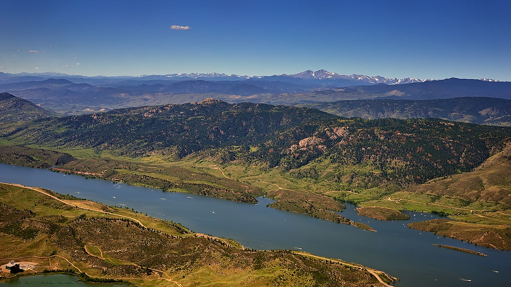
Horsetooth Reservoir and the Colorado Front Range

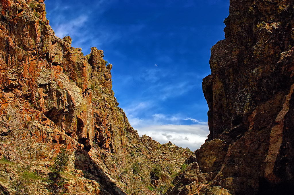
Crazy tunnel
2012's Last Blush
Hazy Orange Sunset Behind Horsetooth Mountain

-Clouds and Cove- Ocho Rios, Jamaica

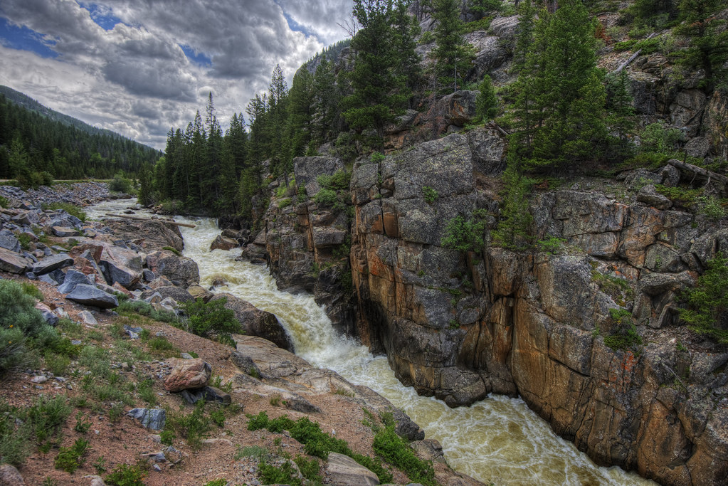
Poudre Canyon

Arching into Fall
Burnt Plums
Topographic Map of Davis Ranch Rd, Bellvue, CO, USA
Find elevation by address:

Places near Davis Ranch Rd, Bellvue, CO, USA:
500 Dirt Rd
Davis Ranch Road
1969 Davis Ranch Rd
1970 Davis Ranch Rd
585 Redstone Dr
15860 Rist Canyon Rd
700 Woodlot Ln
662 Woodlot Ln
120 Woodlot Ln
1651 Whale Rock Rd
2720 Stove Prairie Rd
11 Horsetooth Cir
37 Poudre River Rd, Bellvue, CO, USA
53 Poudre River Rd
Poudre Christian Fellowship
Jj9r+vv
Poudre Park
9073 Poudre Canyon Rd
10244 Poudre Canyon Rd
10244 Poudre Canyon Rd
Recent Searches:
- Elevation of Corso Fratelli Cairoli, 35, Macerata MC, Italy
- Elevation of Tallevast Rd, Sarasota, FL, USA
- Elevation of 4th St E, Sonoma, CA, USA
- Elevation of Black Hollow Rd, Pennsdale, PA, USA
- Elevation of Oakland Ave, Williamsport, PA, USA
- Elevation of Pedrógão Grande, Portugal
- Elevation of Klee Dr, Martinsburg, WV, USA
- Elevation of Via Roma, Pieranica CR, Italy
- Elevation of Tavkvetili Mountain, Georgia
- Elevation of Hartfords Bluff Cir, Mt Pleasant, SC, USA