Elevation map of Dare County, NC, USA
Location: United States > North Carolina >
Longitude: -75.620808
Latitude: 35.6549619
Elevation: -4m / -13feet
Barometric Pressure: 101KPa
Elevation Map:
Satellite Map:
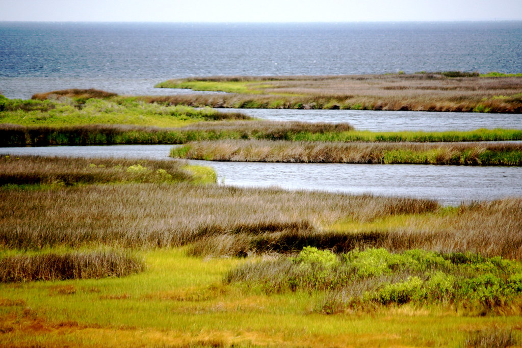
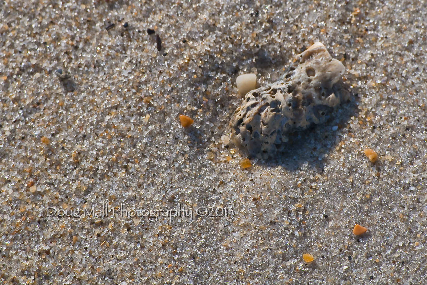
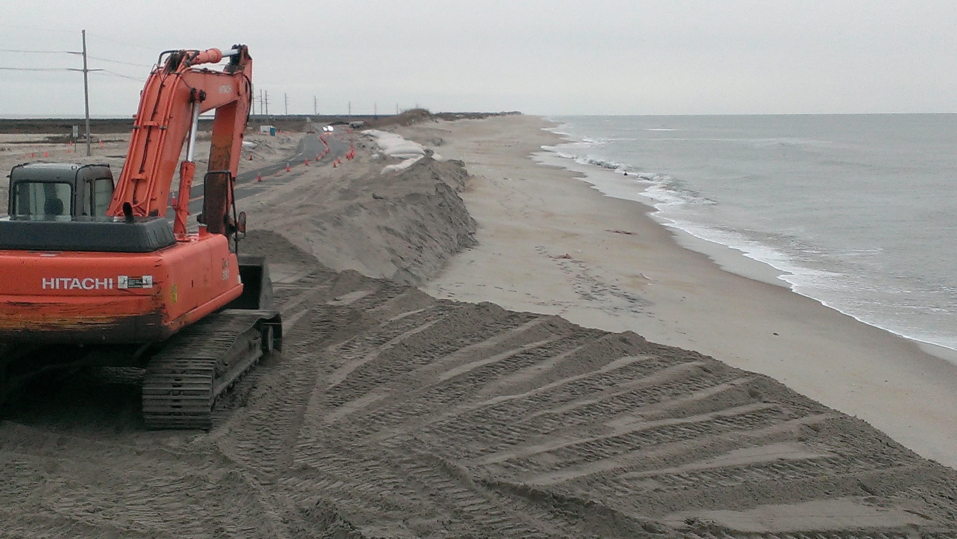
Related Photos:

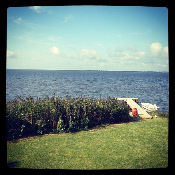
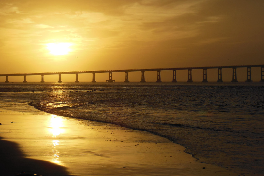
Dusk over Bonner Bridge
Borrowed Time

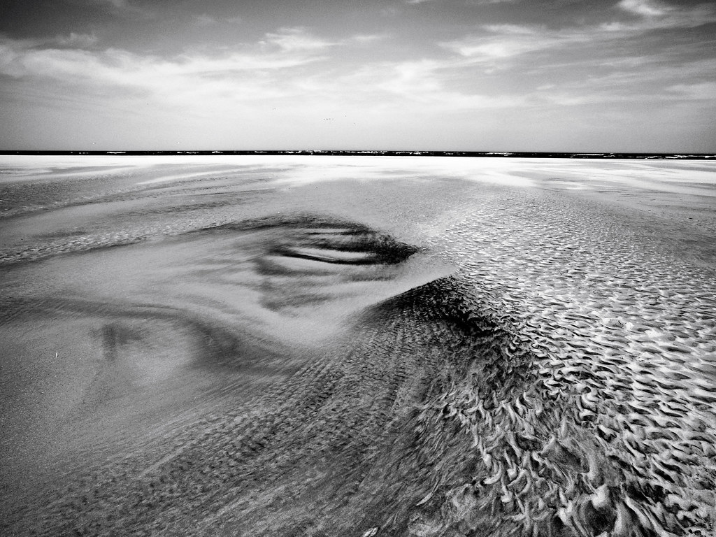
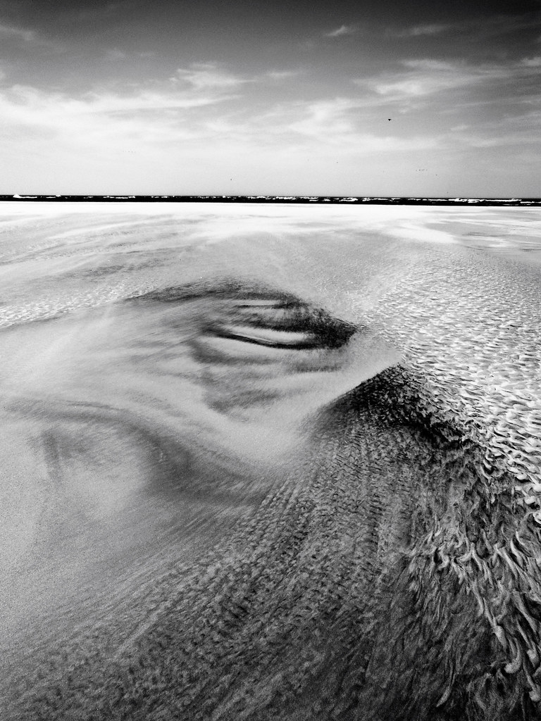
Maybe the Earth IS flat, after all?!
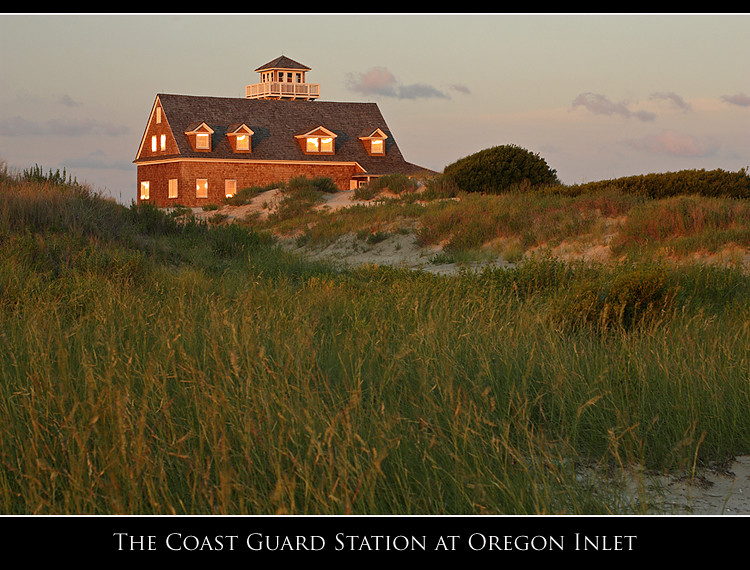
The Coast Guard Station at Oregon Inlet
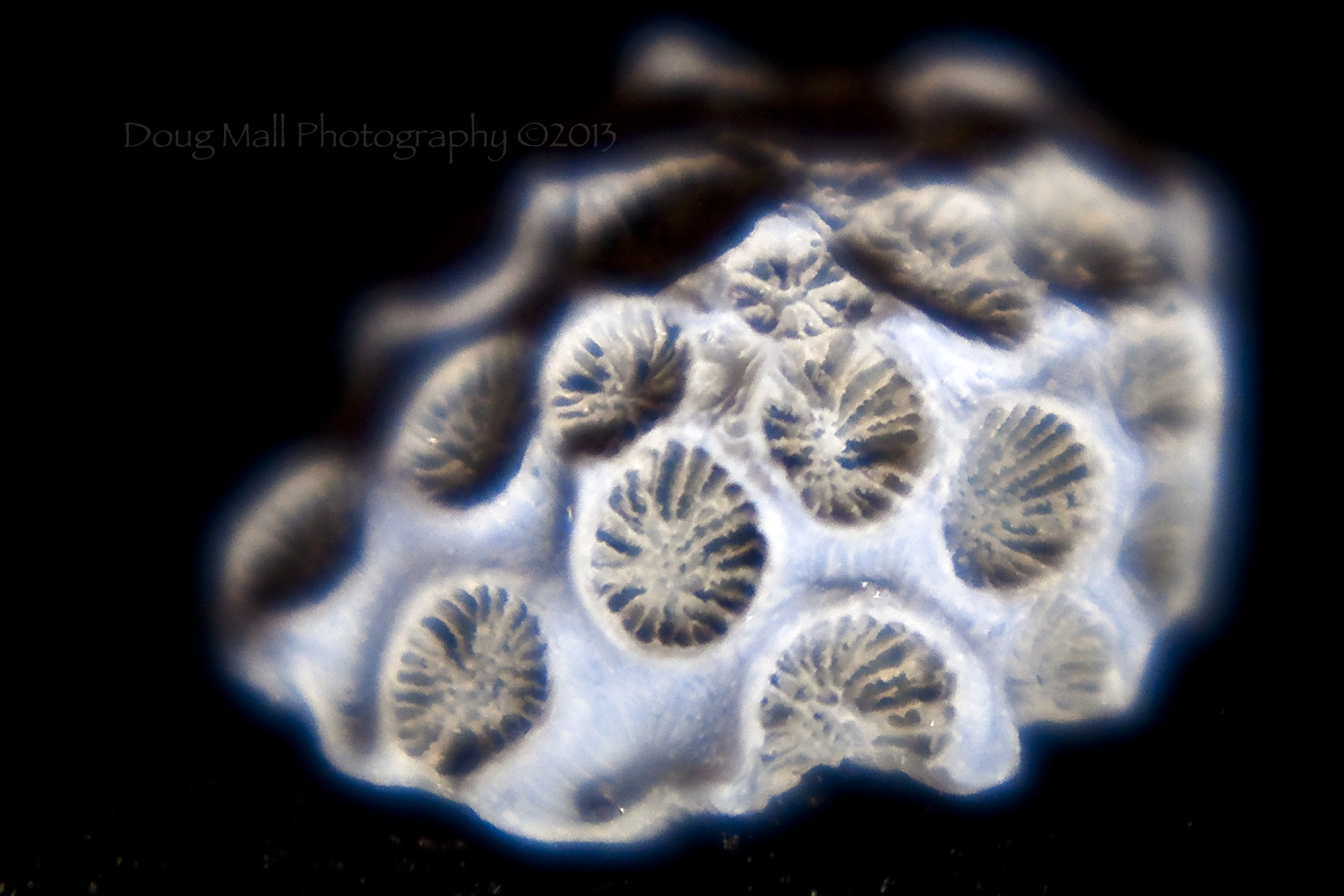
Brain Coral Piece

Paddling Into the Horizon
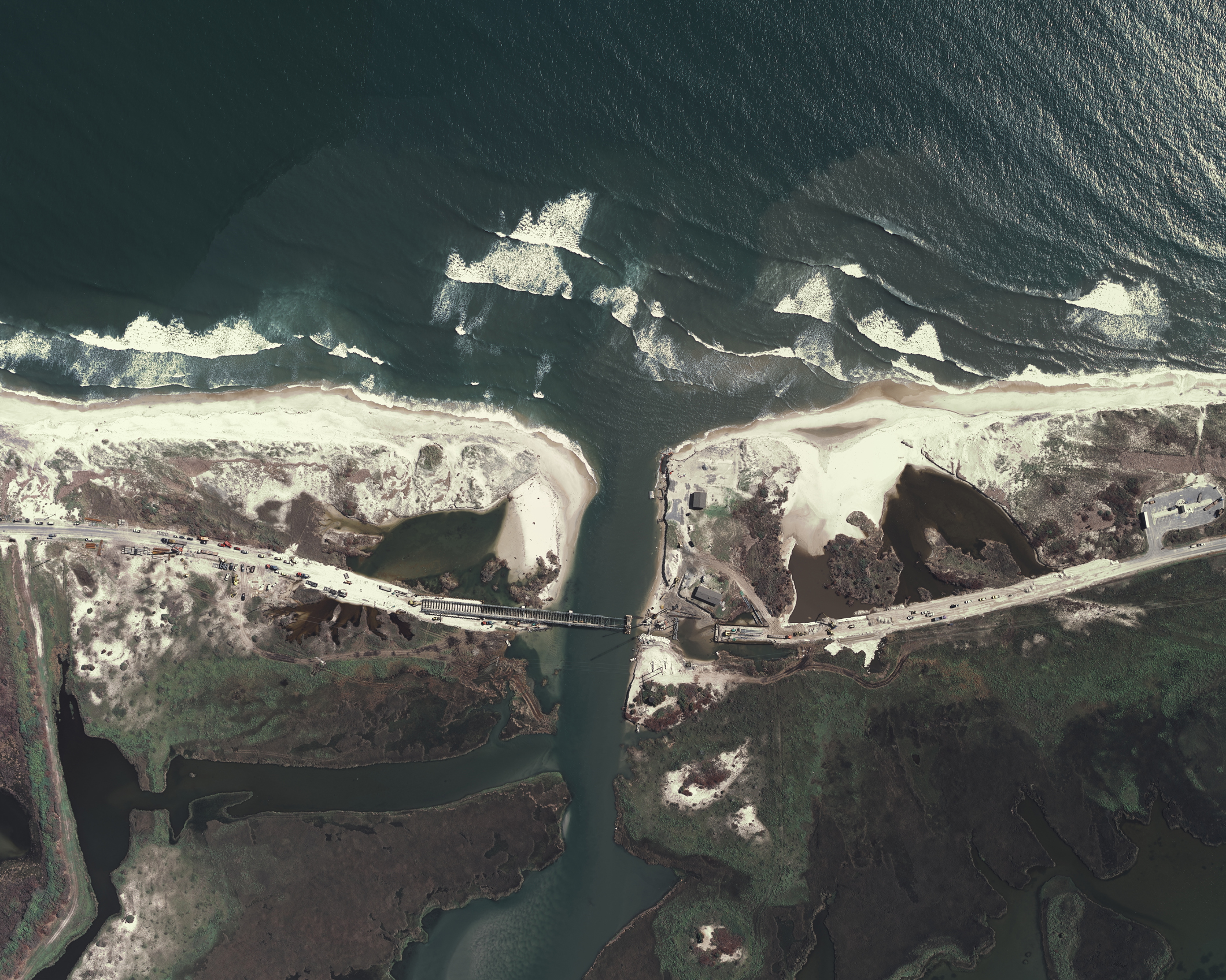
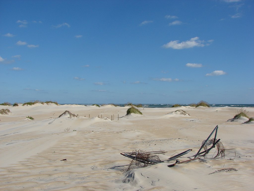
Aerial View of the Pea Island Breach

View of Bodie Island from Oregon Inlet
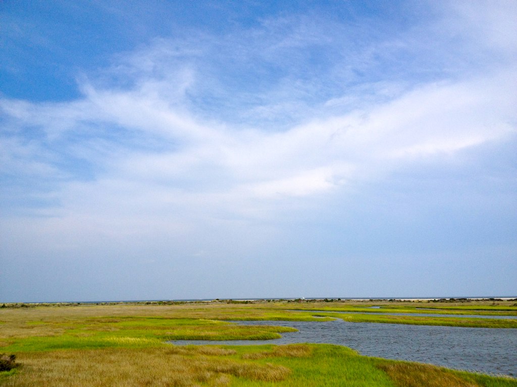
Eco Tourism

Last View
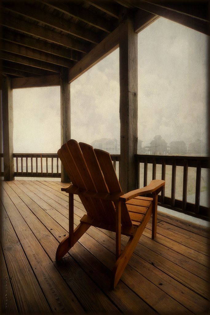
Begins With "B"...
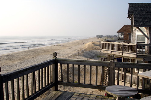
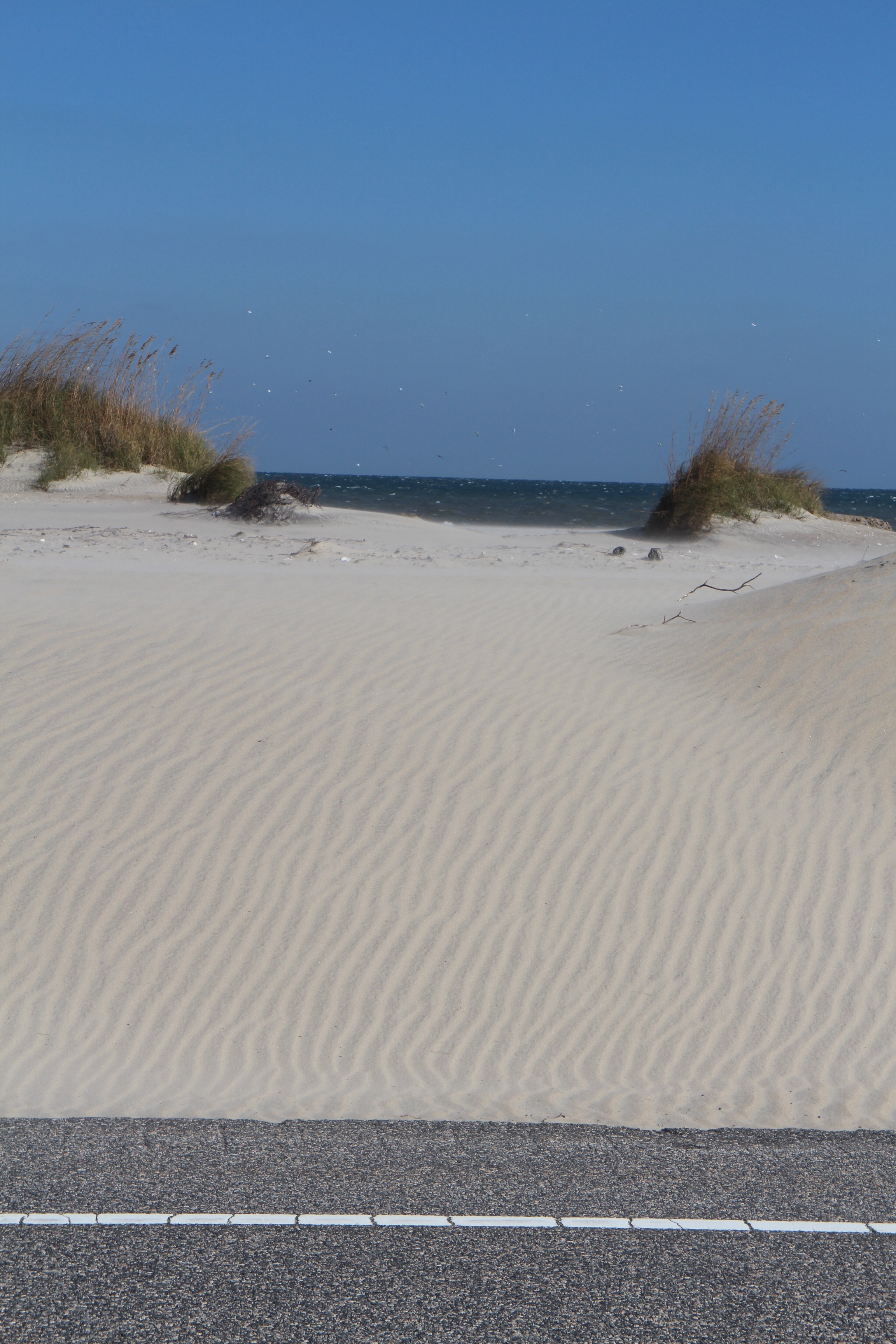
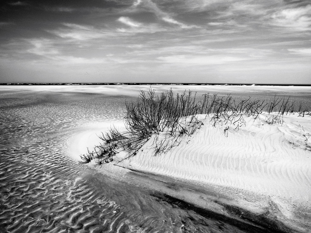
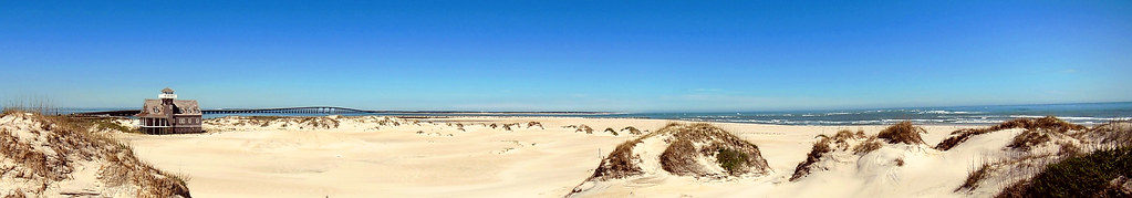
View from Dunes
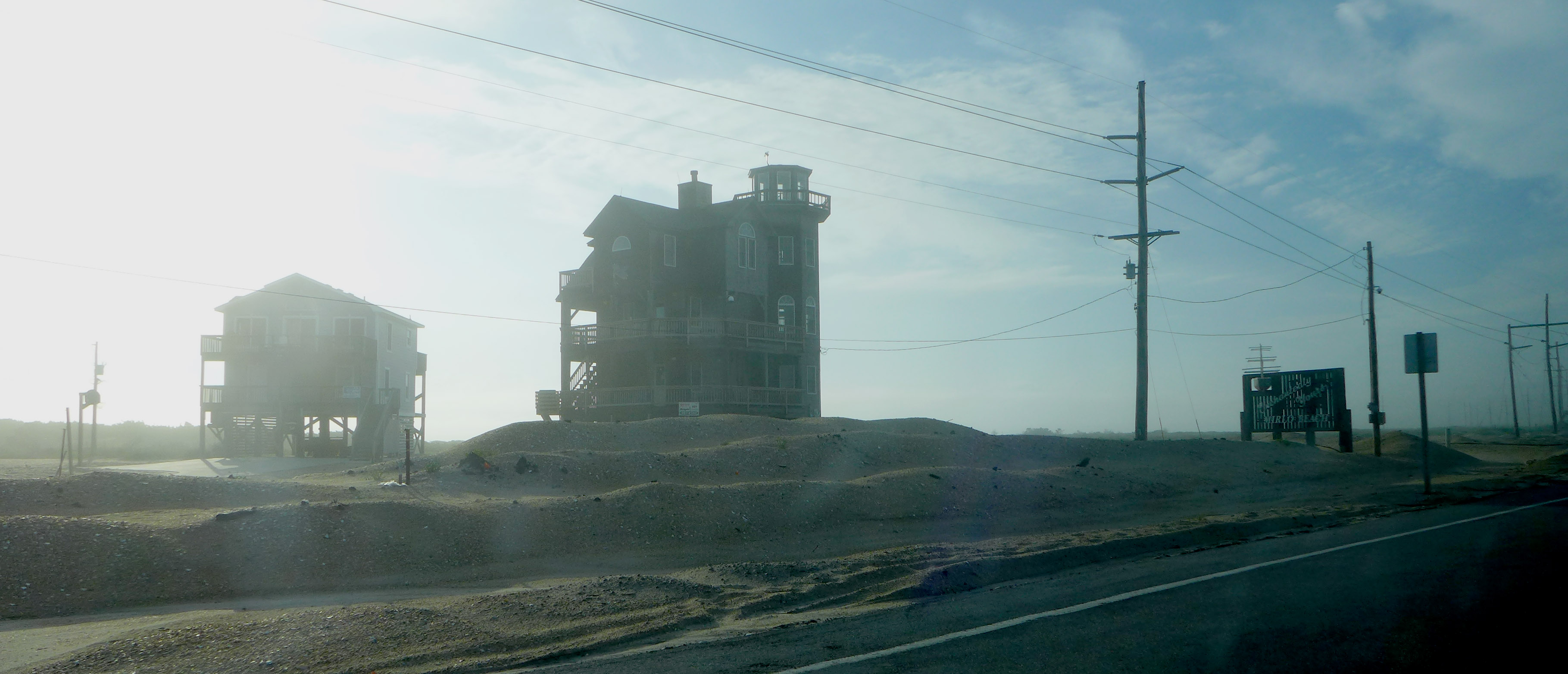
Rodanthe mist
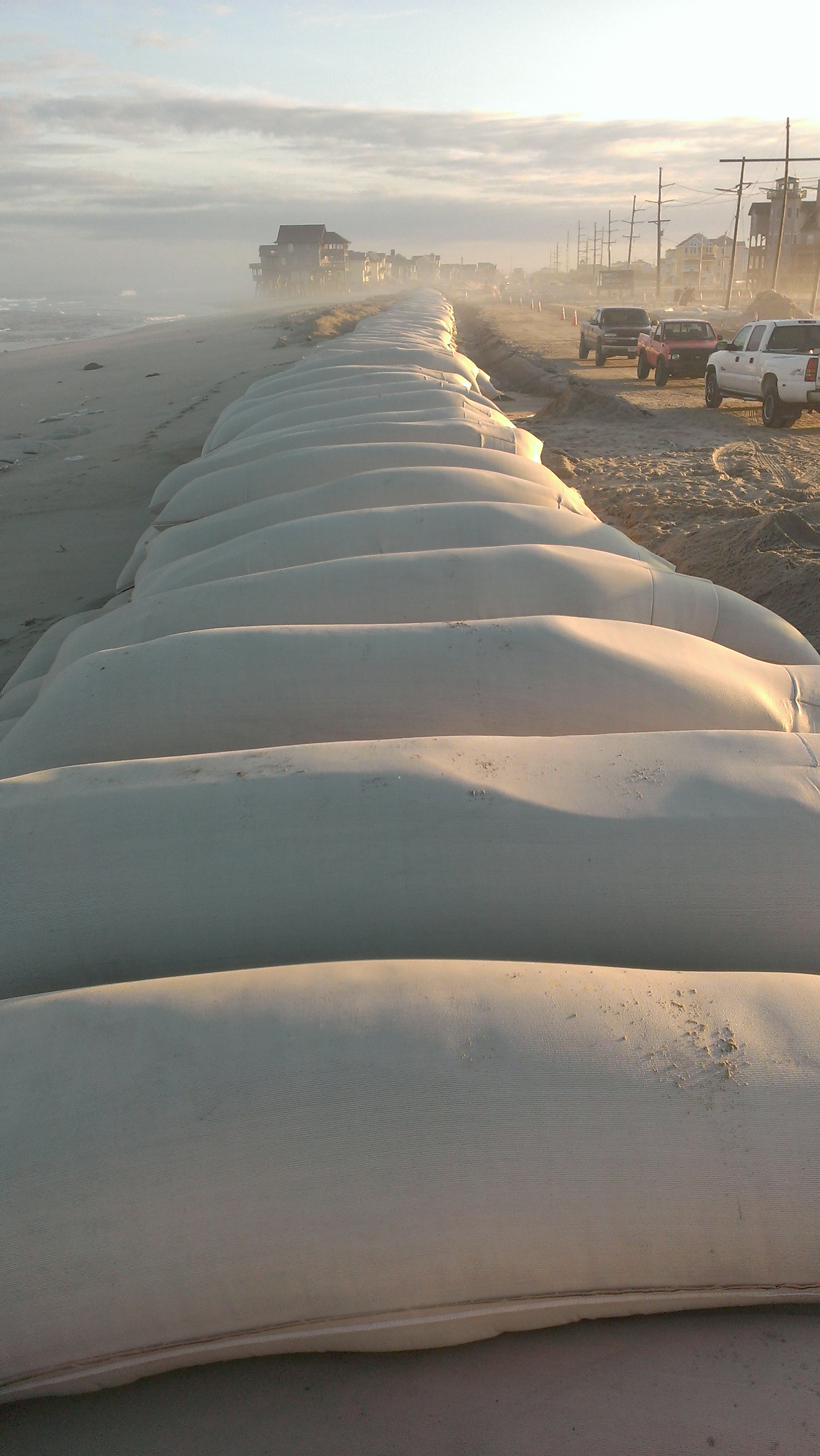
View of sandbags from the north end.
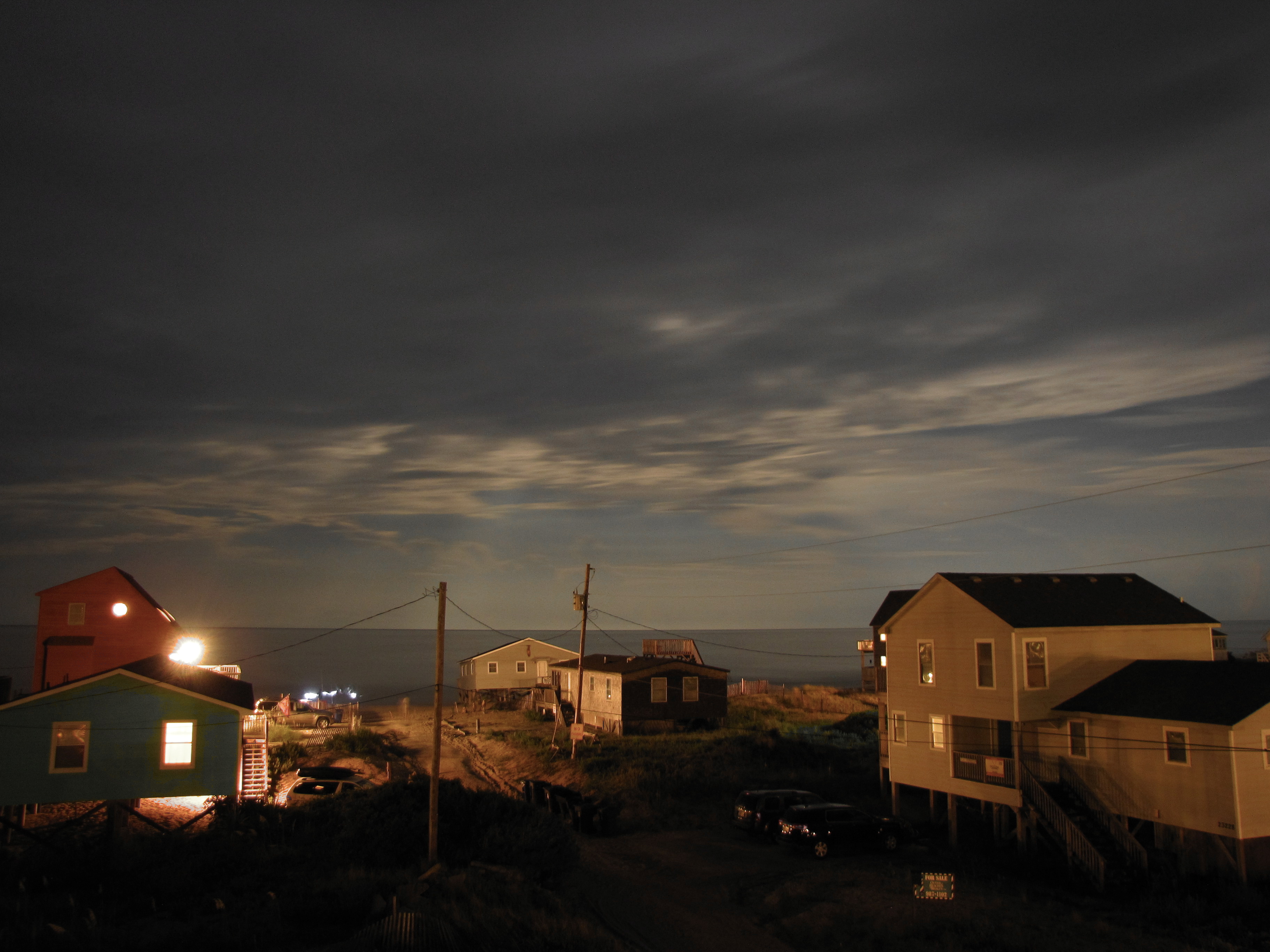
Ocean View at Night
Rodanthe Beach Views
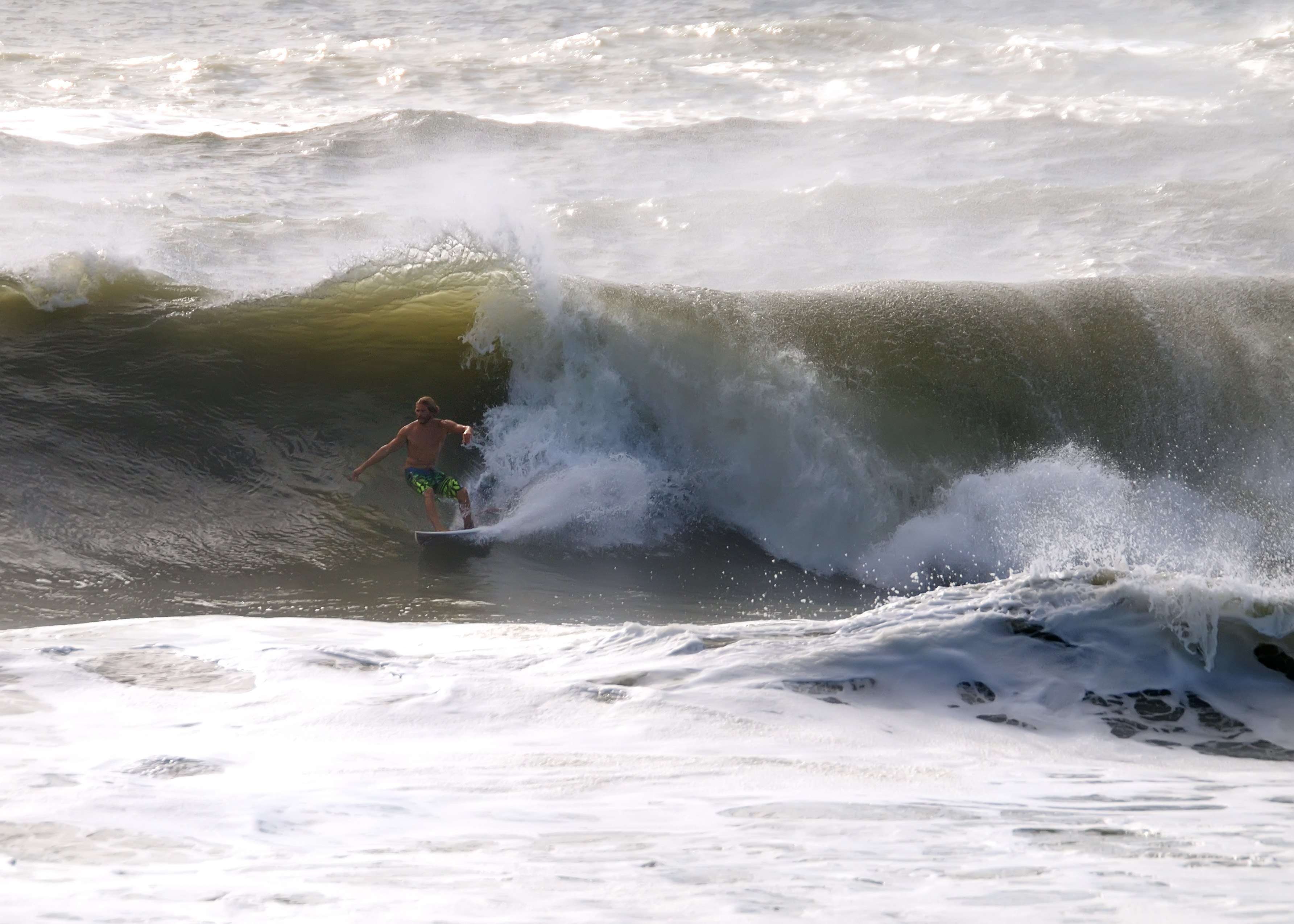
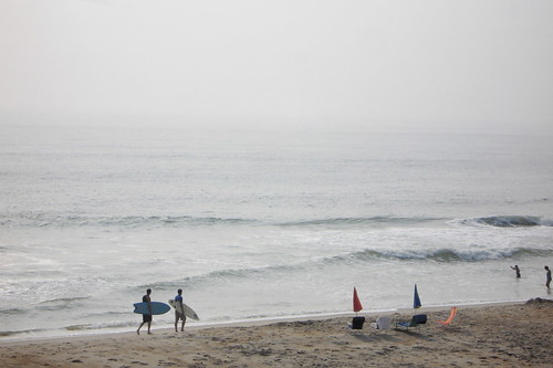
surfing HUGE waves
View from ferry leaving Rodanthe
View of the ocean from Route 12
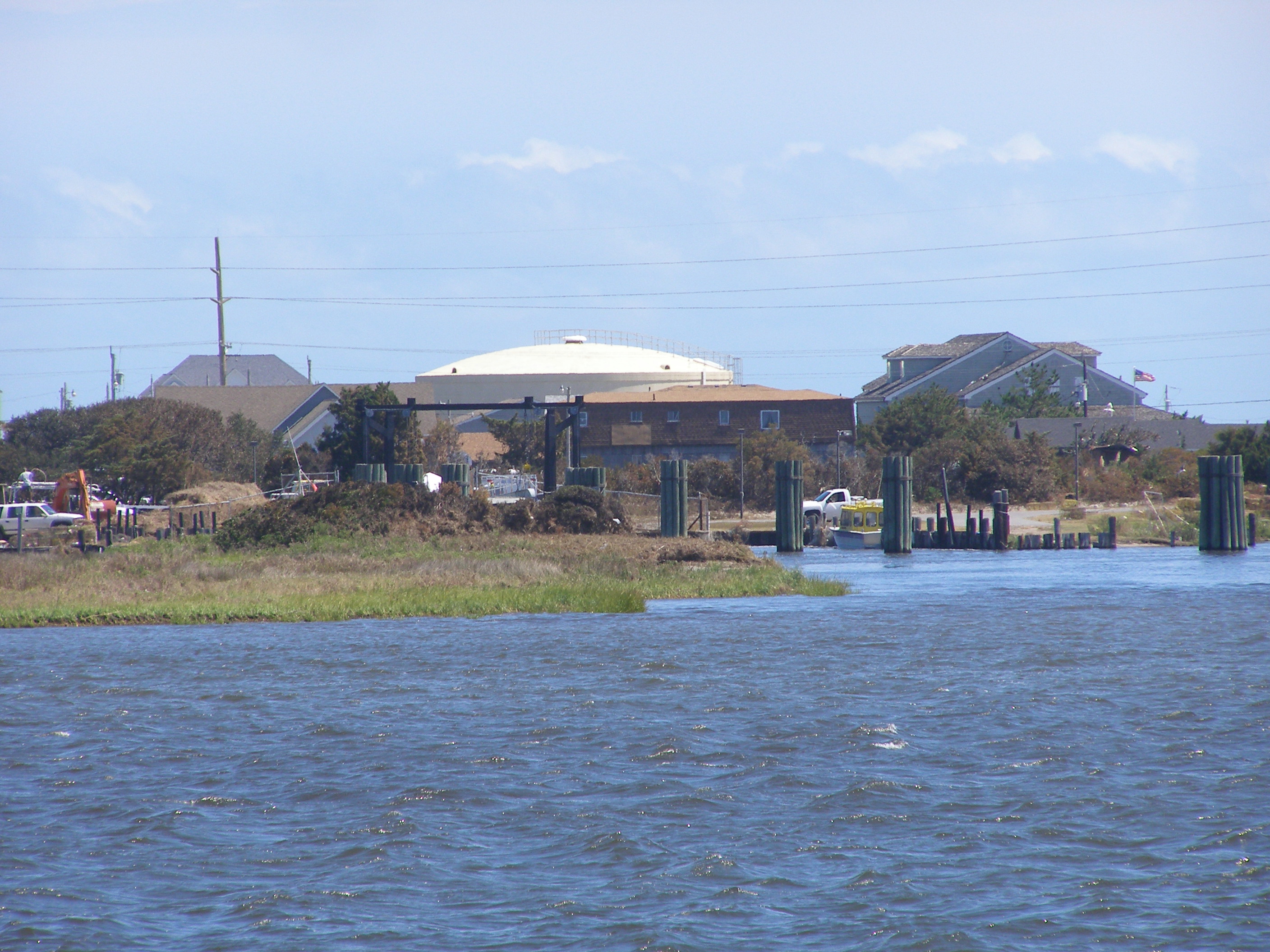
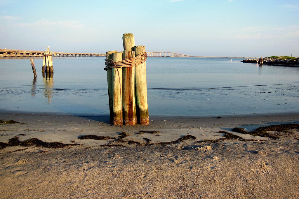
Oregon Inlet LS Station--North Carolina
Rodanthe Beach Views
Good morning.

Graveyard of the Atlantic - Shipwreck
Outer Banks 2012 - 163
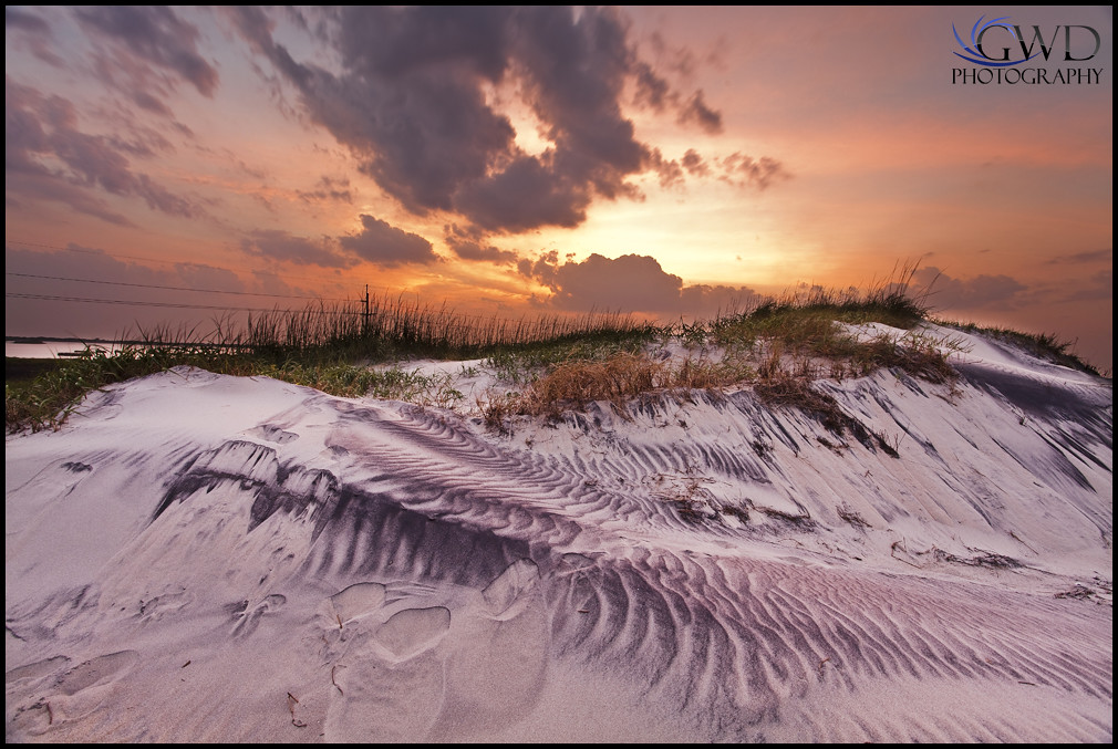
Dune Sunset

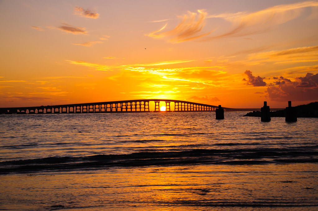
Sunset over Oregon Inlet

Kiteboarding trip. Hatteras April 2015.

#obx

DSC01696.1

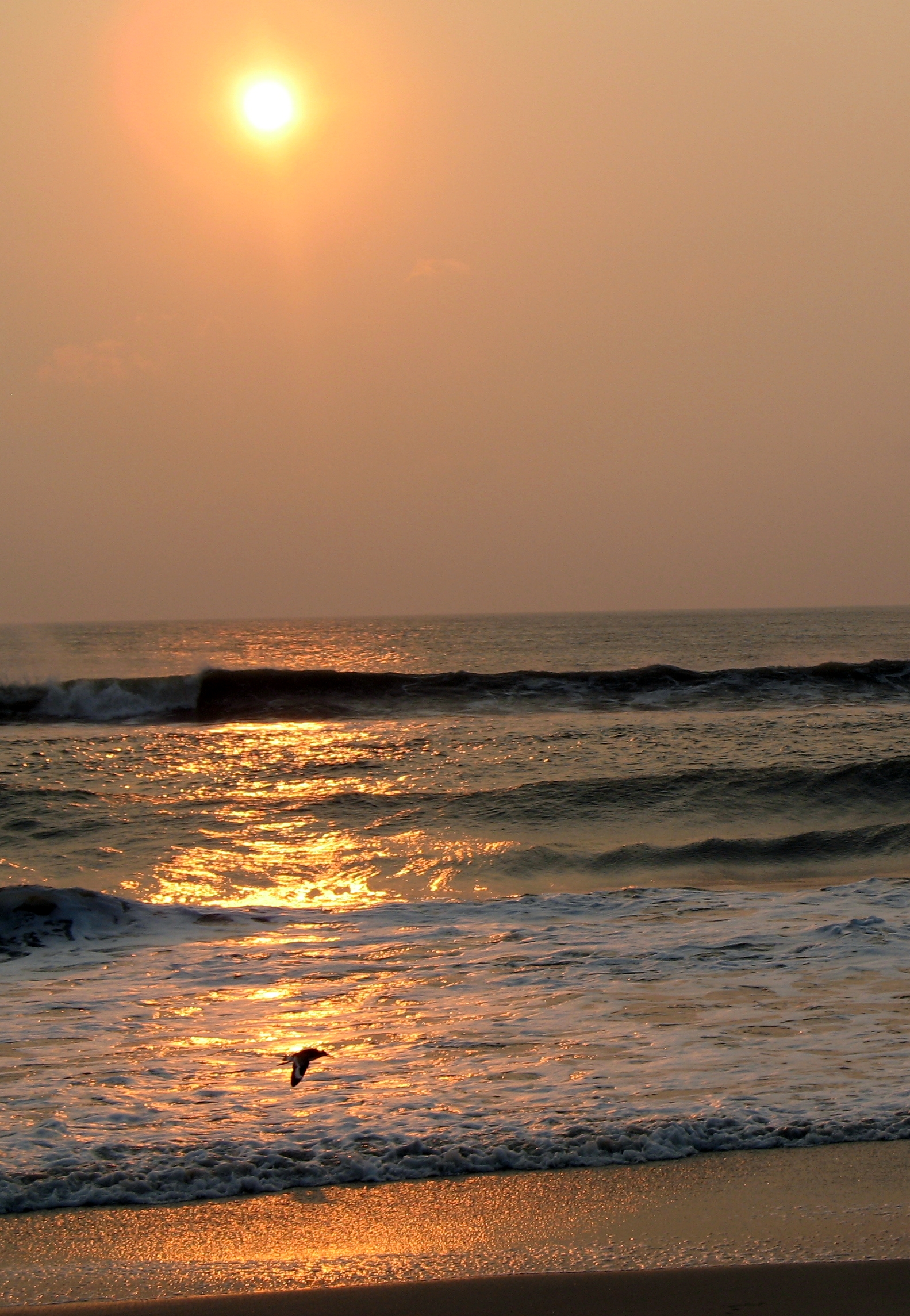
Pea Island -- Setting Sun

North Carolina - 2011 - 106
07-17-13 121
03-22-14 161
Sunrise solitude
03-22-14 156
03-22-14 163
12-23-13 194
Bonner Bridge Sunset
05-09-13 216

OBX 2010
Topographic Map of Dare County, NC, USA
Find elevation by address:

Places in Dare County, NC, USA:
Places near Dare County, NC, USA:
Stumpy Point
196 Bayview Dr
185 Bayview Dr
Kinnakeet
North Carolina 12
124 Bayview Dr
7 Little Tim Is, Nags Head, NC, USA
106 Us-264
Rodanthe
23204 Southgate Dr
23204 Southgate Dr
23289 Beacon Rd E
Sea Oats Drive
24373 Sea Sound Rd
24258 Dean Ave
Resort Rodanthe Drive
Bodie Island Lighthouse
Ocean Drive
24225 Ocean Dr
25651 Nc-12
Recent Searches:
- Elevation of Corso Fratelli Cairoli, 35, Macerata MC, Italy
- Elevation of Tallevast Rd, Sarasota, FL, USA
- Elevation of 4th St E, Sonoma, CA, USA
- Elevation of Black Hollow Rd, Pennsdale, PA, USA
- Elevation of Oakland Ave, Williamsport, PA, USA
- Elevation of Pedrógão Grande, Portugal
- Elevation of Klee Dr, Martinsburg, WV, USA
- Elevation of Via Roma, Pieranica CR, Italy
- Elevation of Tavkvetili Mountain, Georgia
- Elevation of Hartfords Bluff Cir, Mt Pleasant, SC, USA