Elevation of Bayview Dr, Stumpy Point, NC, USA
Location: United States > North Carolina > Dare County > Croatan > Stumpy Point >
Longitude: -75.75018
Latitude: 35.704093
Elevation: 1m / 3feet
Barometric Pressure: 101KPa
Elevation Map:
Satellite Map:
Related Photos:
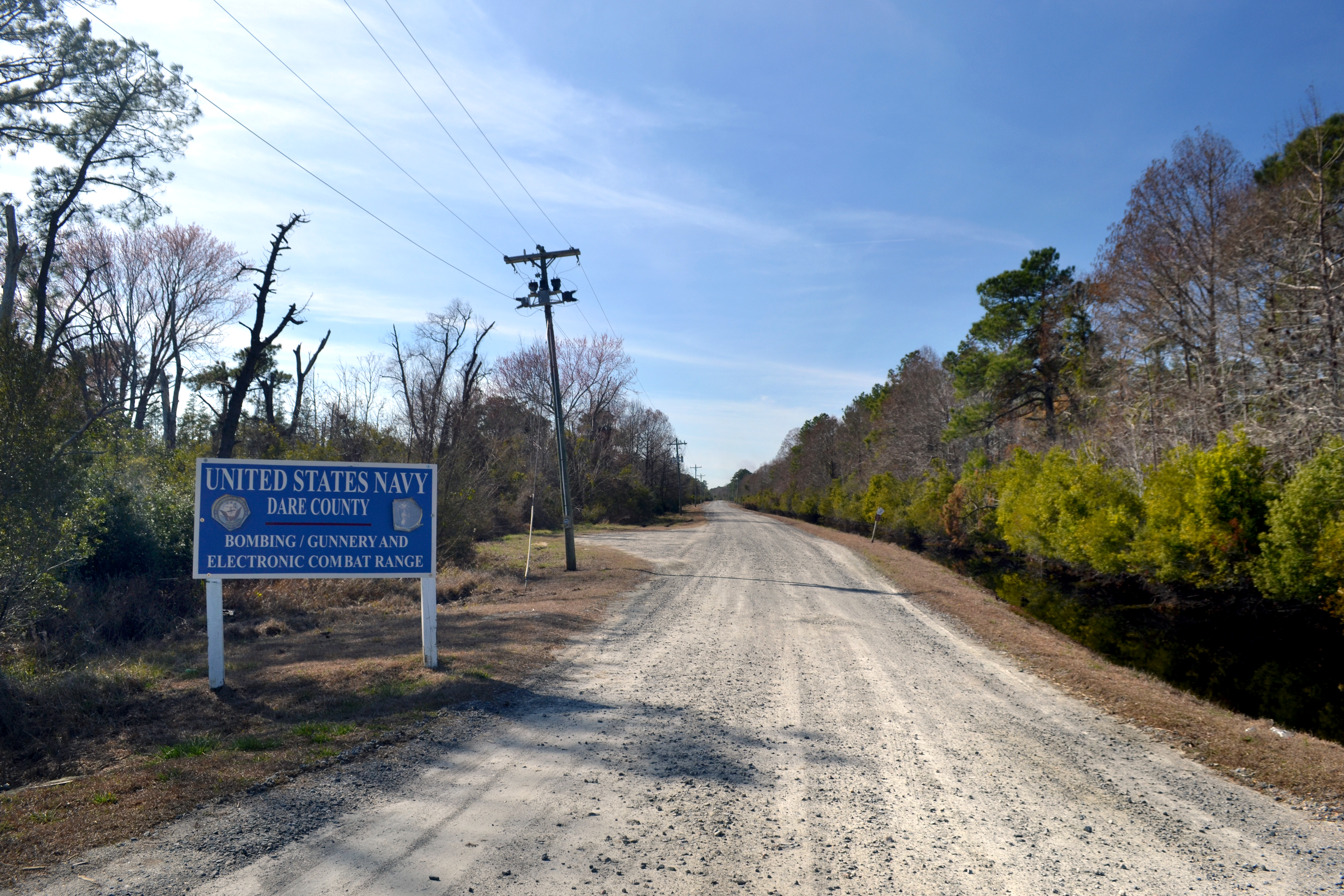
Electronic Combat Range

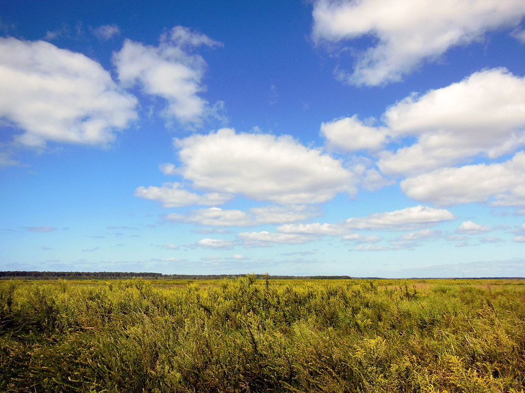
09-18-13 061
09-18-13 066
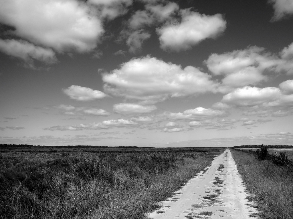
09-18-13 064
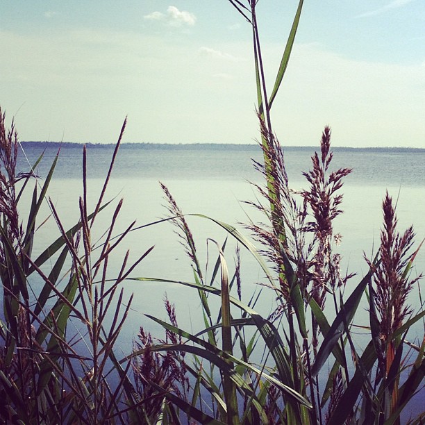
Sea oats
pelican isl trip_8883

Wendy & Teddy
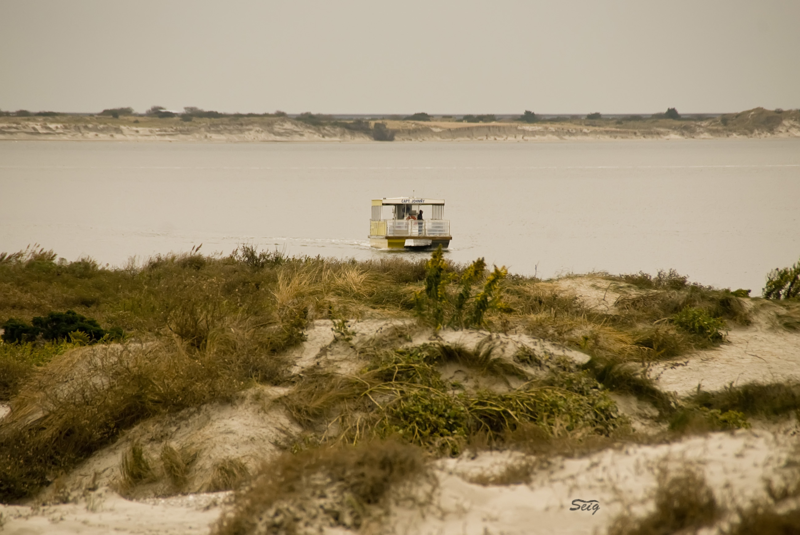
Pamlico Sound, U.S. 264, Stumpy Point, North Carolina
Good morning.

Alligator River National Wildlife Refuge: North Carolina (NC)
Topographic Map of Bayview Dr, Stumpy Point, NC, USA
Find elevation by address:

Places near Bayview Dr, Stumpy Point, NC, USA:
196 Bayview Dr
Stumpy Point
124 Bayview Dr
106 Us-264
Croatan
Dare County
101 Hickman Ln
606 E R Daniels Rd
860 E R Daniels Rd
Wanchese
174 Burrus Rd
52 Old Church Rd
Manns Harbor
Old Manns Harbor Road
Harbor Rd, Wanchese, NC, USA
512 Live Oak Ln
7 Little Tim Is, Nags Head, NC, USA
Lindsey Lane
812 Lindsey Ln
721 Arvilla Ln
Recent Searches:
- Elevation of Corso Fratelli Cairoli, 35, Macerata MC, Italy
- Elevation of Tallevast Rd, Sarasota, FL, USA
- Elevation of 4th St E, Sonoma, CA, USA
- Elevation of Black Hollow Rd, Pennsdale, PA, USA
- Elevation of Oakland Ave, Williamsport, PA, USA
- Elevation of Pedrógão Grande, Portugal
- Elevation of Klee Dr, Martinsburg, WV, USA
- Elevation of Via Roma, Pieranica CR, Italy
- Elevation of Tavkvetili Mountain, Georgia
- Elevation of Hartfords Bluff Cir, Mt Pleasant, SC, USA