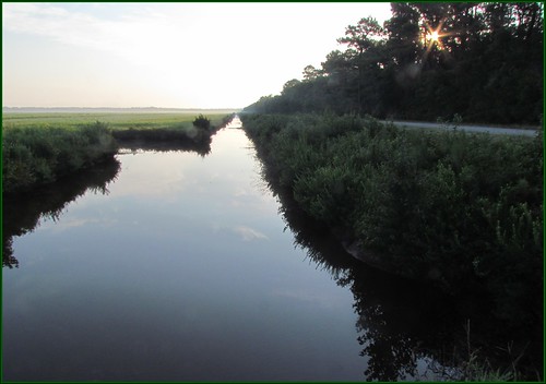
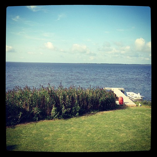
Elevation of Bayview Dr, Stumpy Point, NC, USA
Location: United States > North Carolina > Dare County > Croatan > Stumpy Point >
Longitude: -75.759979
Latitude: 35.707291
Elevation: 0m / 0feet
Barometric Pressure: 101KPa
Related Photos:
Topographic Map of Bayview Dr, Stumpy Point, NC, USA
Find elevation by address:

Places near Bayview Dr, Stumpy Point, NC, USA:
185 Bayview Dr
196 Bayview Dr
106 Us-264
Stumpy Point
Croatan
Dare County
101 Hickman Ln
606 E R Daniels Rd
860 E R Daniels Rd
Manns Harbor
Wanchese
174 Burrus Rd
52 Old Church Rd
Old Manns Harbor Road
Harbor Rd, Wanchese, NC, USA
Buffalo City
512 Live Oak Ln
Lindsey Lane
812 Lindsey Ln
721 Arvilla Ln
Recent Searches:
- Elevation of Corso Fratelli Cairoli, 35, Macerata MC, Italy
- Elevation of Tallevast Rd, Sarasota, FL, USA
- Elevation of 4th St E, Sonoma, CA, USA
- Elevation of Black Hollow Rd, Pennsdale, PA, USA
- Elevation of Oakland Ave, Williamsport, PA, USA
- Elevation of Pedrógão Grande, Portugal
- Elevation of Klee Dr, Martinsburg, WV, USA
- Elevation of Via Roma, Pieranica CR, Italy
- Elevation of Tavkvetili Mountain, Georgia
- Elevation of Hartfords Bluff Cir, Mt Pleasant, SC, USA


