Elevation of Dalkeith, ON K0B, Canada
Location: Canada > Ontario > Stormont, Dundas And Glengarry United Counties > North Glengarry >
Longitude: -74.572169
Latitude: 45.445898
Elevation: 68m / 223feet
Barometric Pressure: 101KPa
Elevation Map:
Satellite Map:
Related Photos:
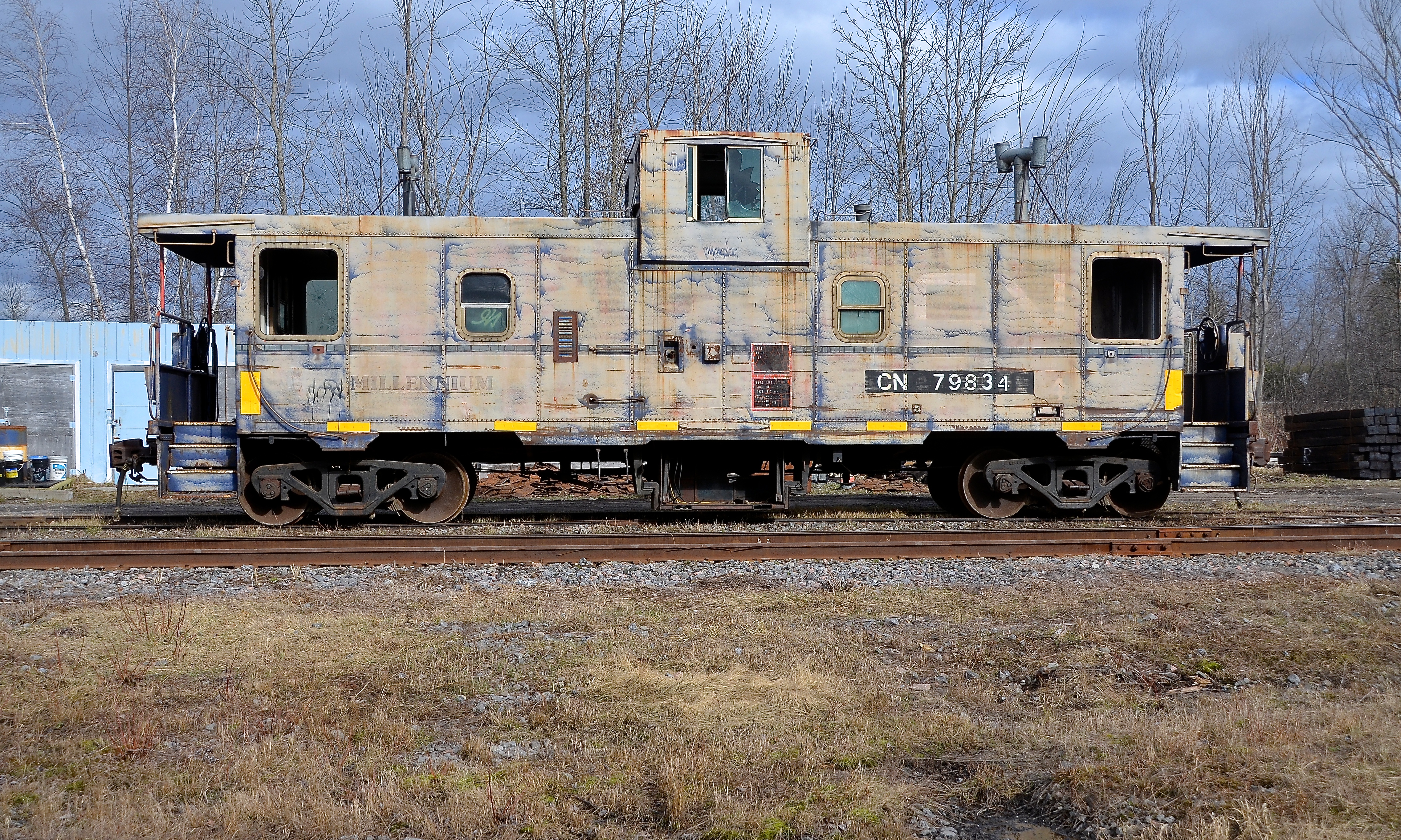
Broadside view
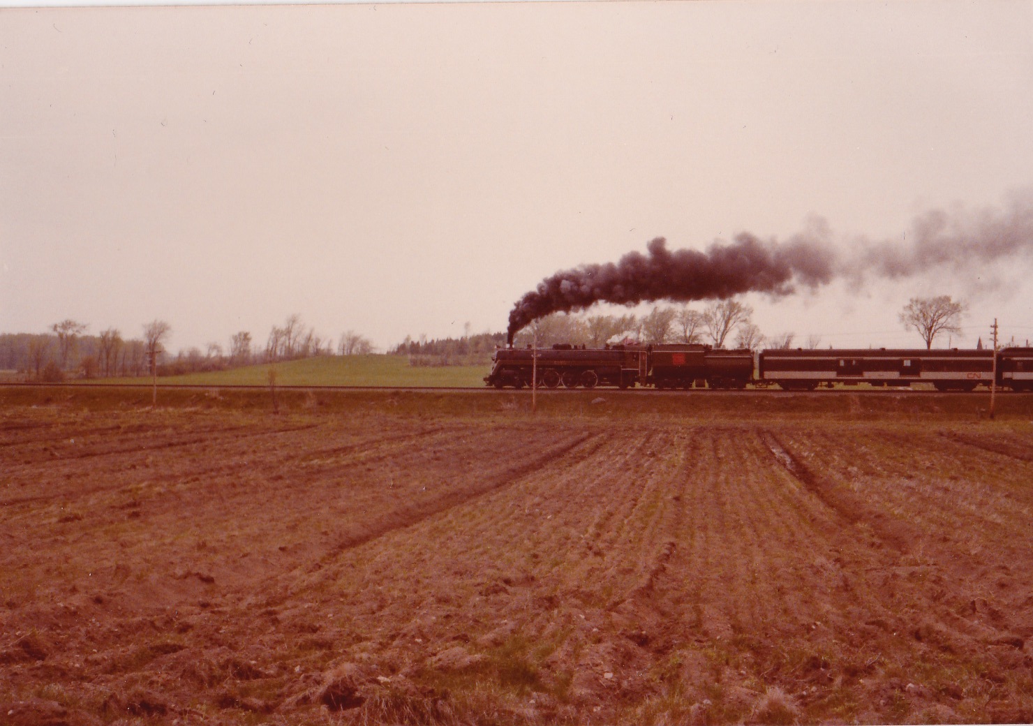
Trans Canada Train 16
365: Day 156
Camera Roll-2173

into the storm #clouds #????

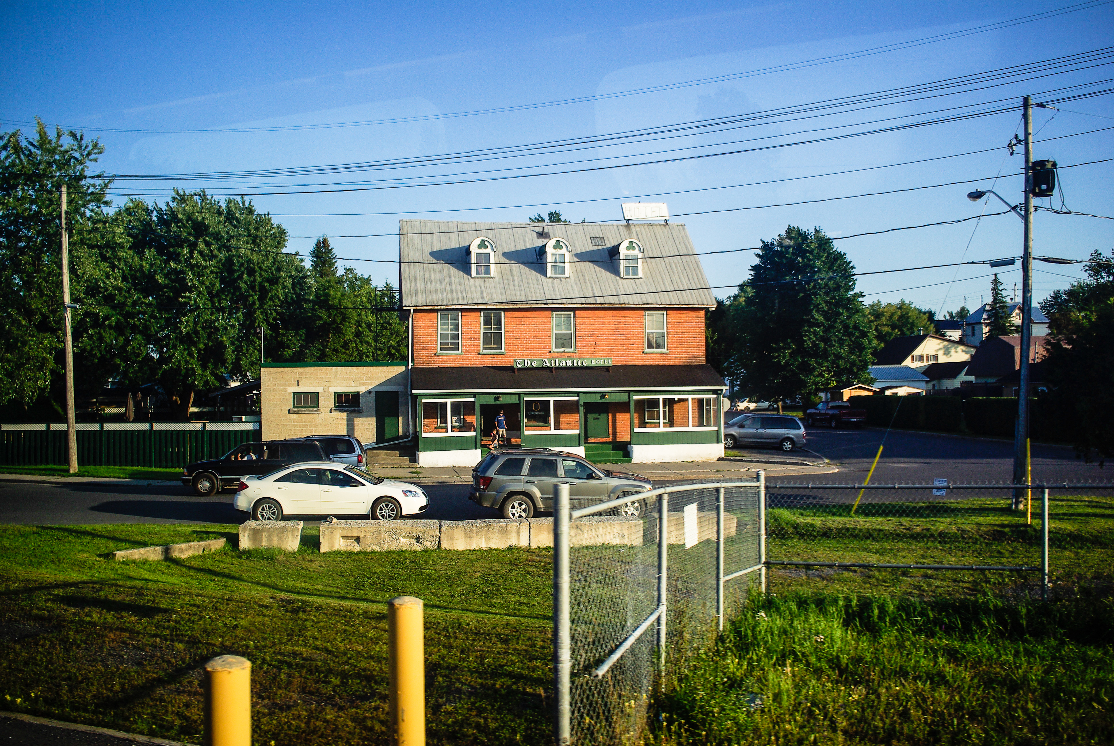
The end of the road || 214/365
CN 6060 runby (Glen Fisher Photo)
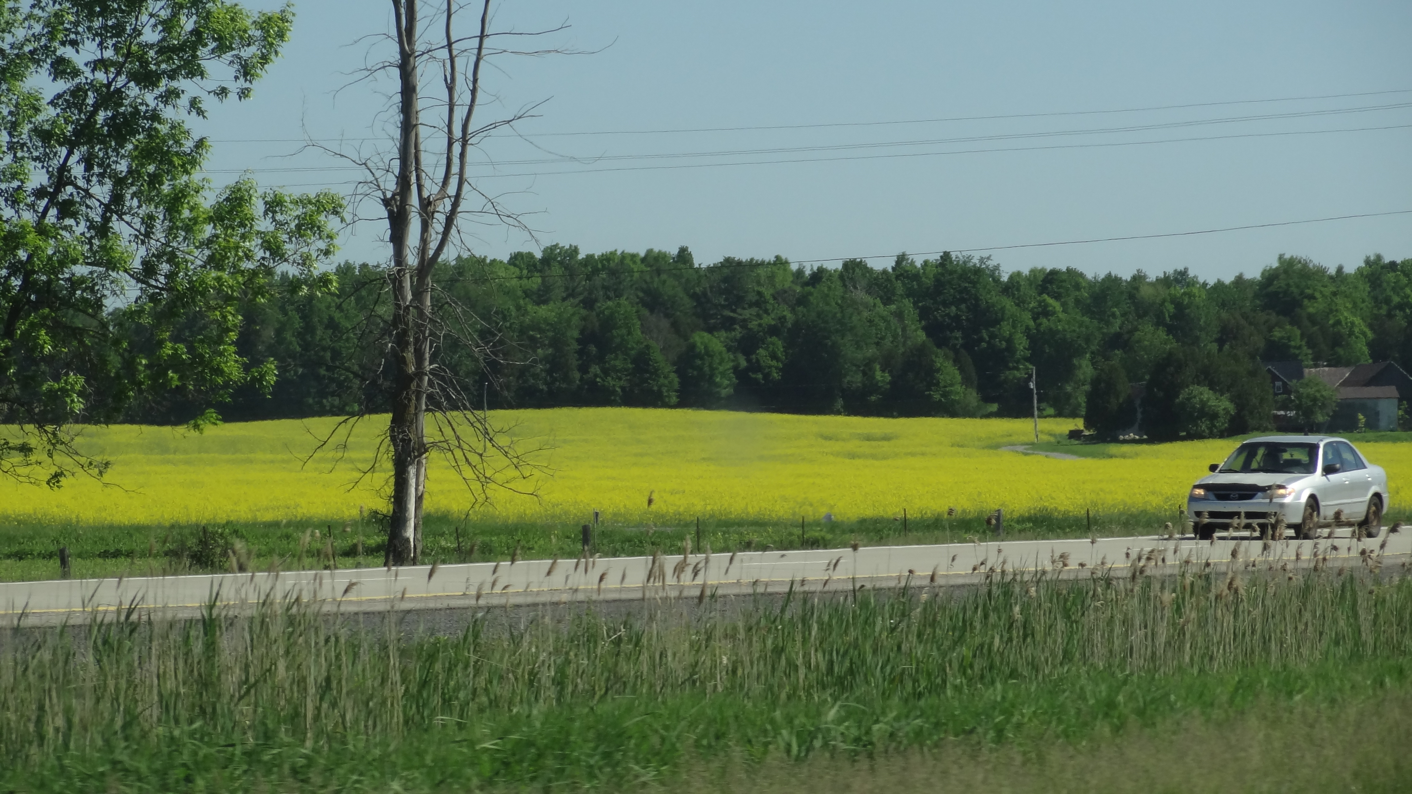
Canola Field before arriving in Quebec
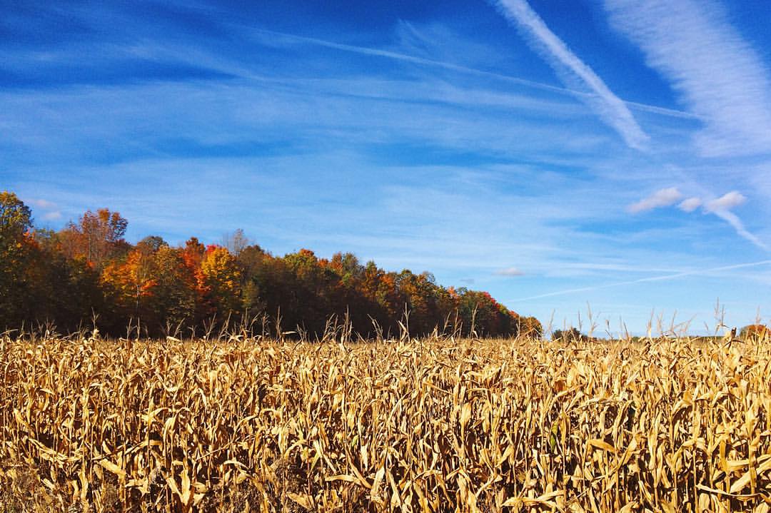
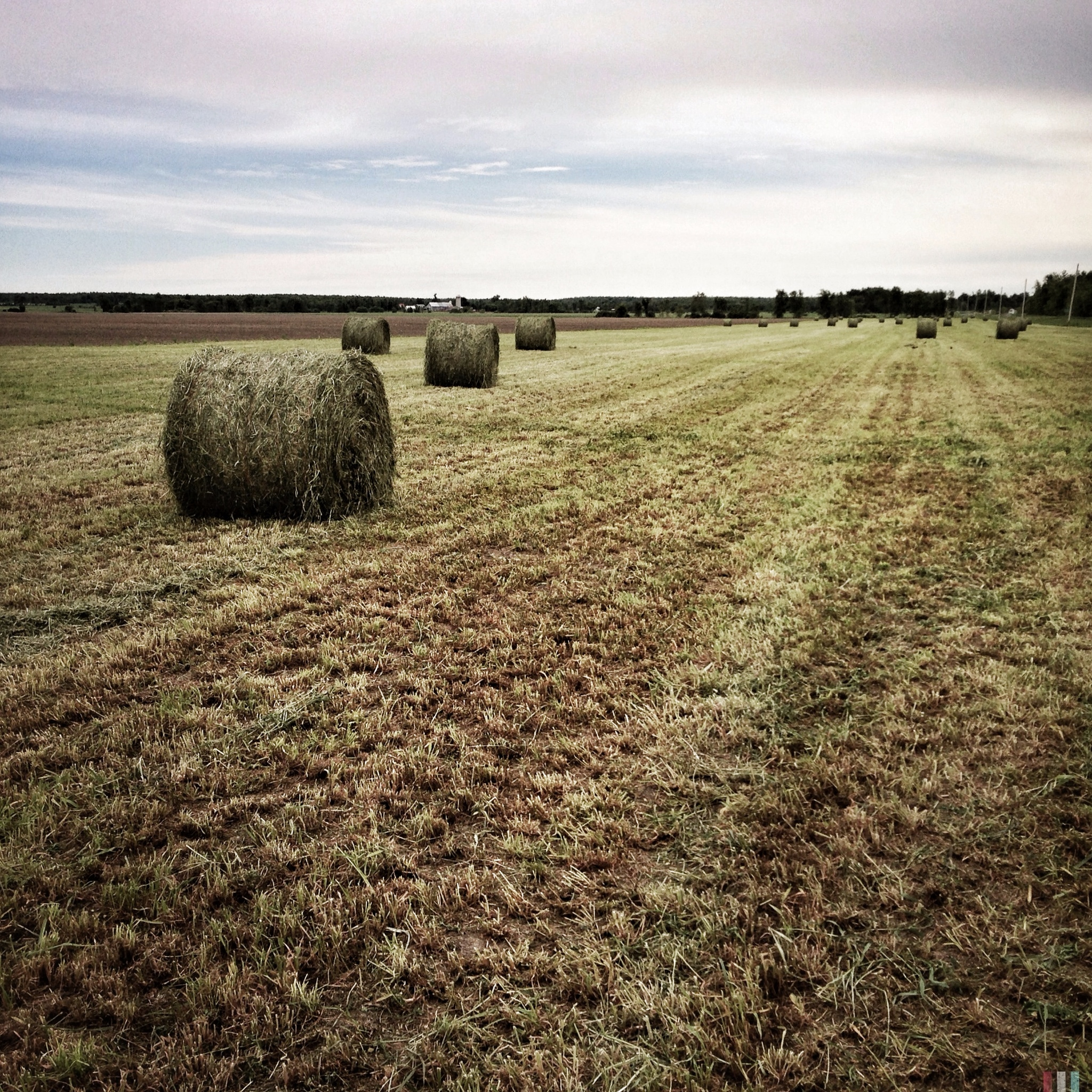
In The Field

Down The Stream
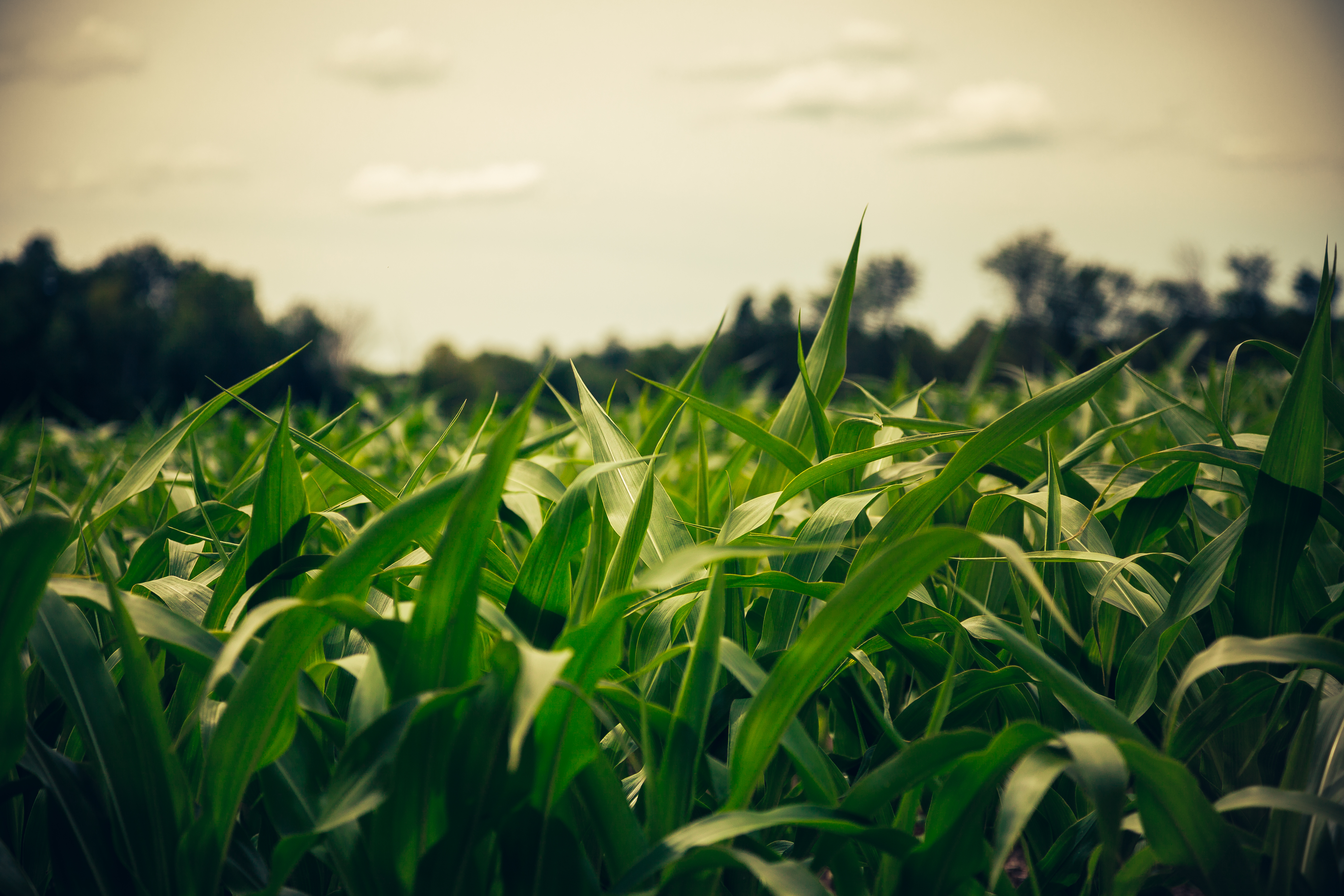
Field of Blades

Kirk Hill United Church and Cemetery

#vscocam #camping
Topographic Map of Dalkeith, ON K0B, Canada
Find elevation by address:

Places in Dalkeith, ON K0B, Canada:
Places near Dalkeith, ON K0B, Canada:
Brodie Rd, Dalkeith, ON K0B 1E0, Canada
Barb Road
2215 Barb Rd
Regional Road 10
Regional Road 10
47 Main St E, Vankleek Hill, ON K0B 1R0, Canada
Vankleek Hill
20670 Eigg Rd
270 Pattee Rd
North Glengarry
3410 Front Rd
3410 Front Rd
90 Main St N
Alexandria
38 Kenyon St W, Alexandria, ON K0C 1A0, Canada
Concession Road 10
Concession Rd 1, Vankleek Hill, ON K0B 1R0, Canada
K6a 3e3
1111 Ghislain St
535 Chamberlain St
Recent Searches:
- Elevation of Corso Fratelli Cairoli, 35, Macerata MC, Italy
- Elevation of Tallevast Rd, Sarasota, FL, USA
- Elevation of 4th St E, Sonoma, CA, USA
- Elevation of Black Hollow Rd, Pennsdale, PA, USA
- Elevation of Oakland Ave, Williamsport, PA, USA
- Elevation of Pedrógão Grande, Portugal
- Elevation of Klee Dr, Martinsburg, WV, USA
- Elevation of Via Roma, Pieranica CR, Italy
- Elevation of Tavkvetili Mountain, Georgia
- Elevation of Hartfords Bluff Cir, Mt Pleasant, SC, USA