Elevation of North Glengarry, ON, Canada
Location: Canada > Ontario > Stormont, Dundas And Glengarry United Counties >
Longitude: -74.688885
Latitude: 45.3661144
Elevation: 90m / 295feet
Barometric Pressure: 100KPa
Elevation Map:
Satellite Map:
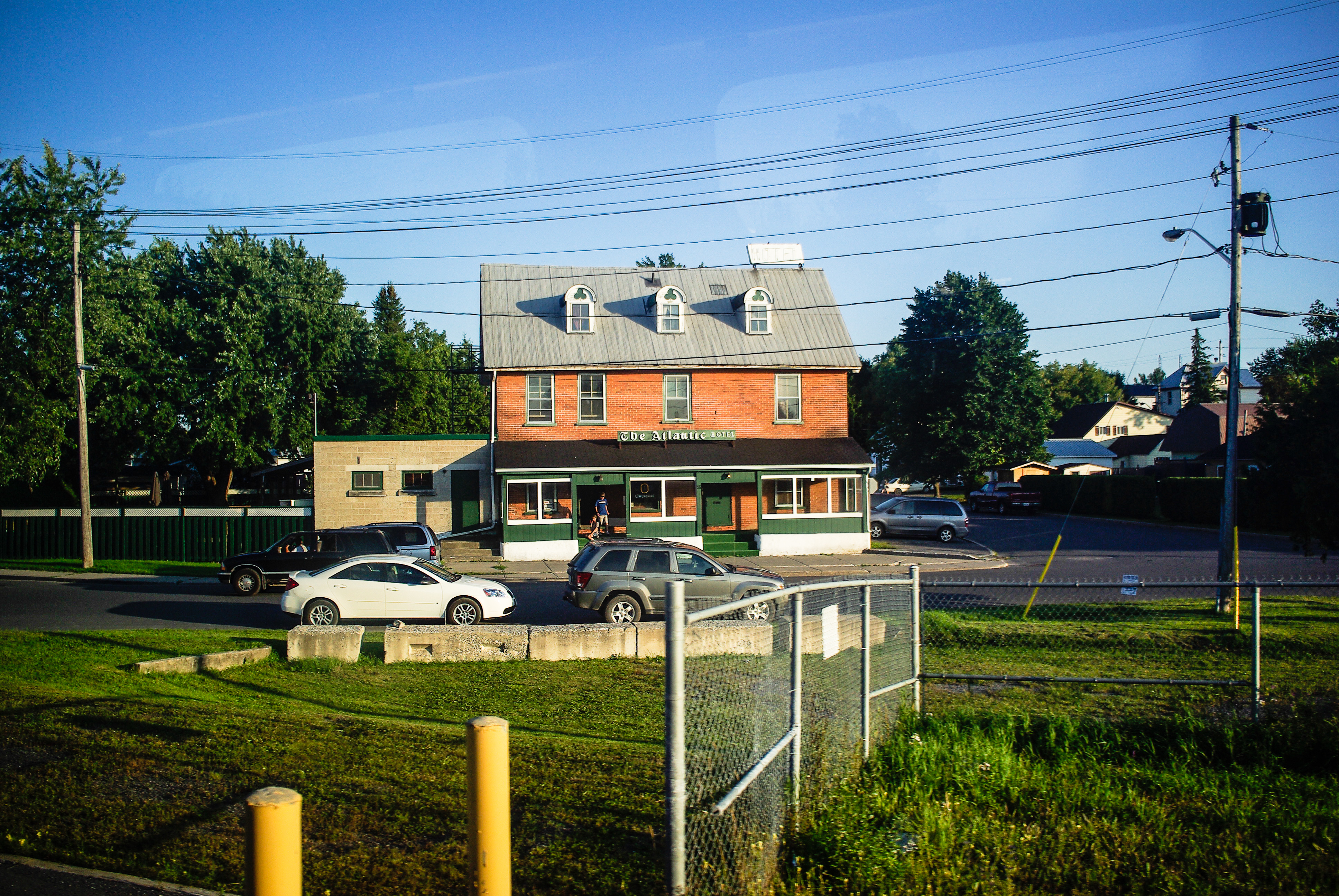
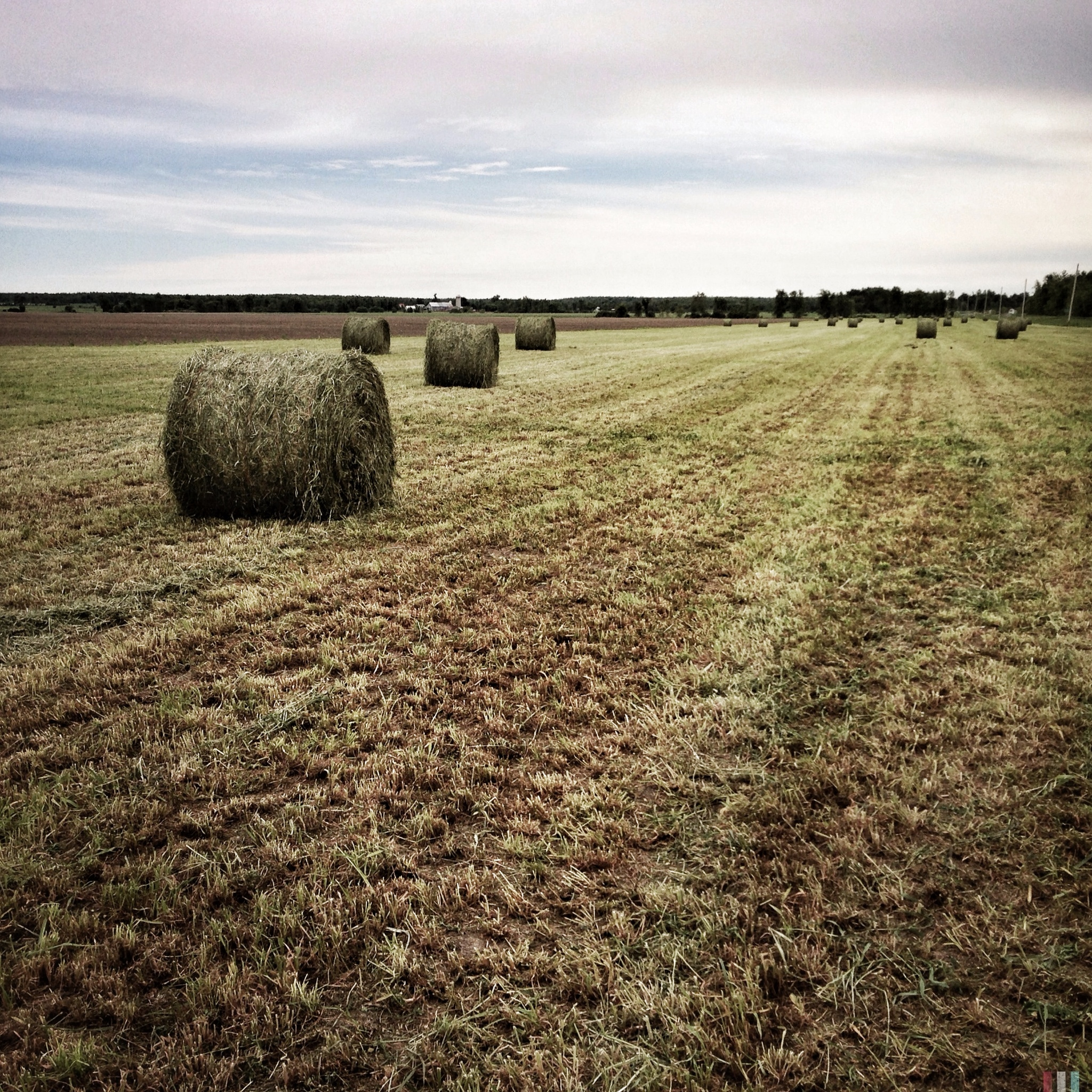
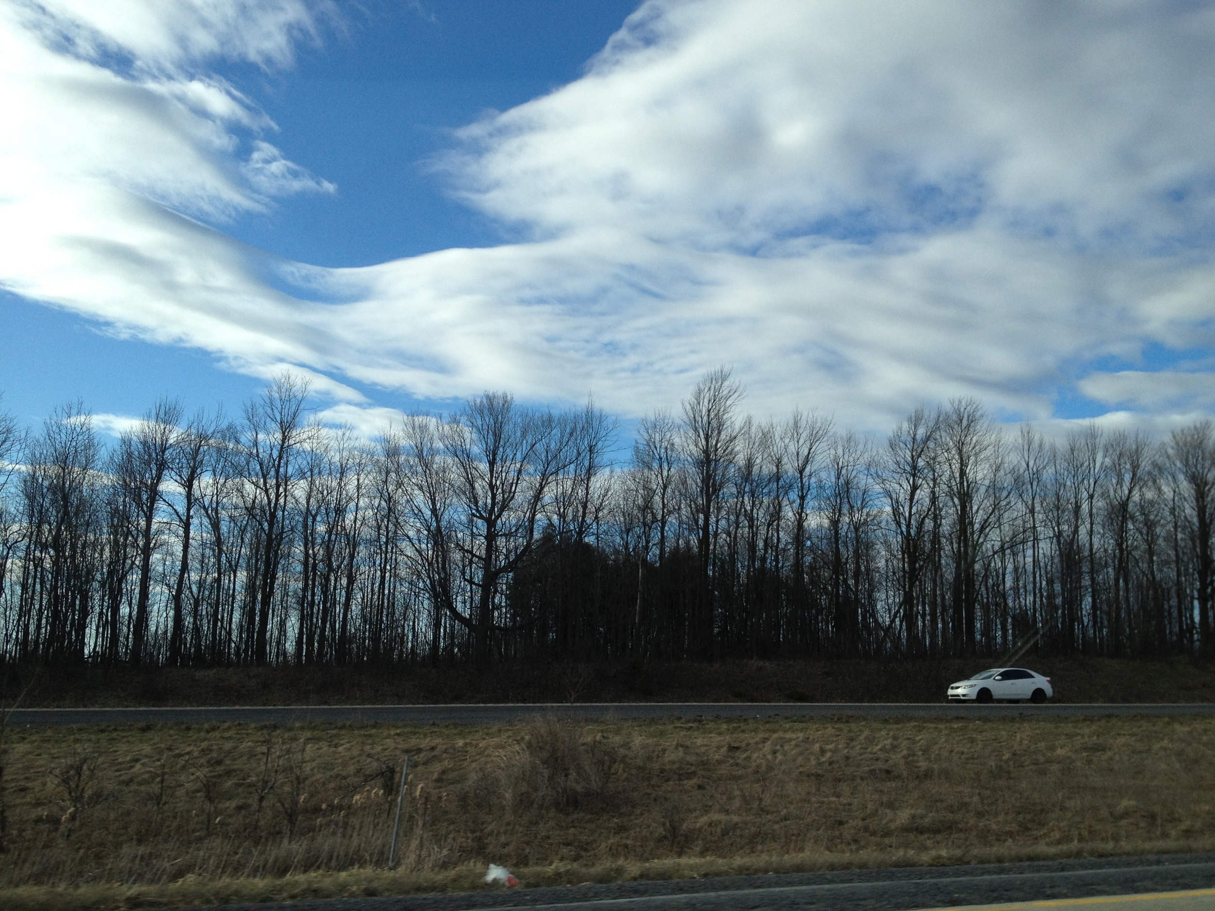
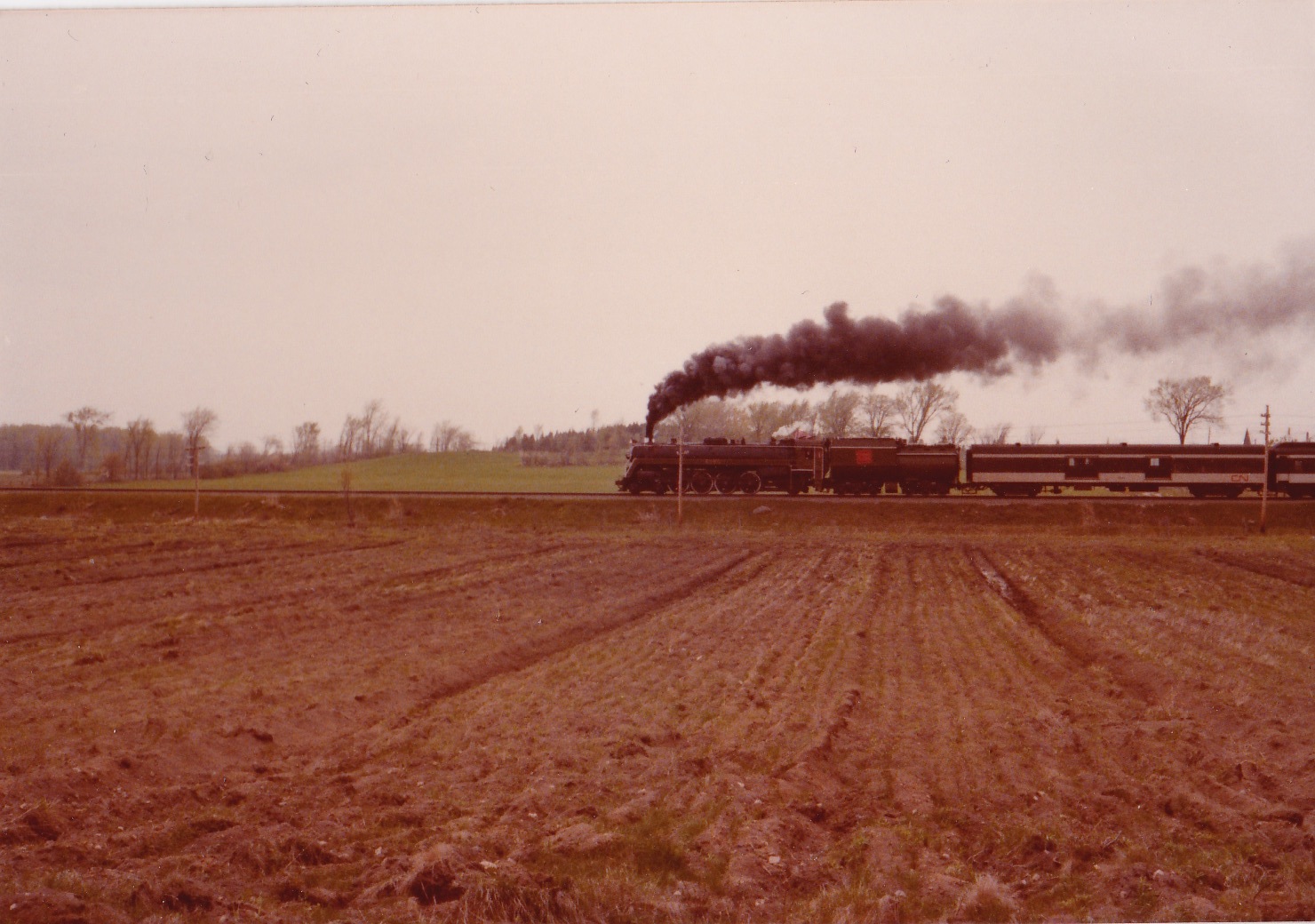
Related Photos:
Trans Canada Train 16
365: Day 156
Camera Roll-2173

into the storm #clouds #????
CN 6060 runby (Glen Fisher Photo)
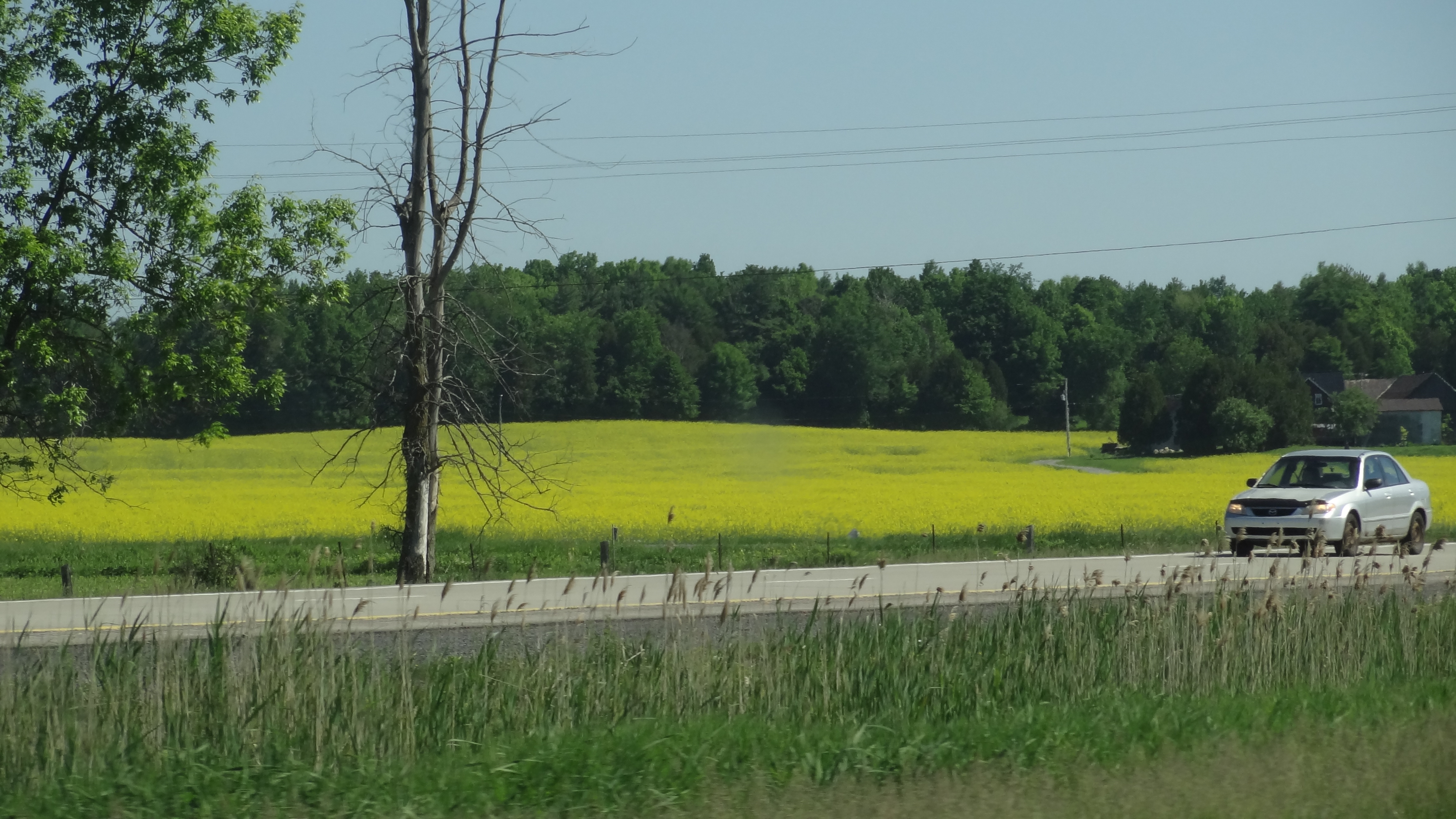
Canola Field before arriving in Quebec

The road
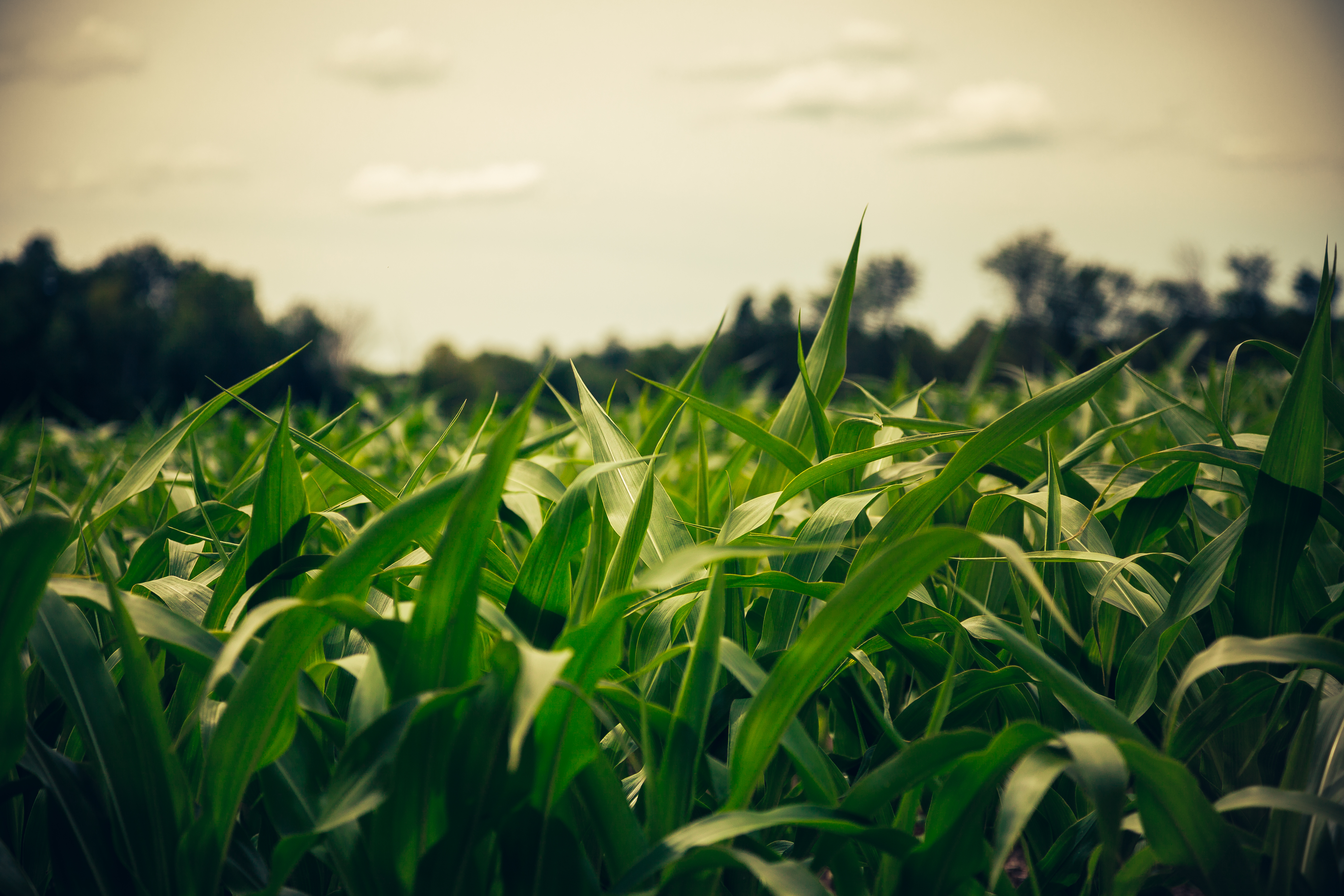
Field of Blades

Kirk Hill United Church and Cemetery

138/365 -- iridescent
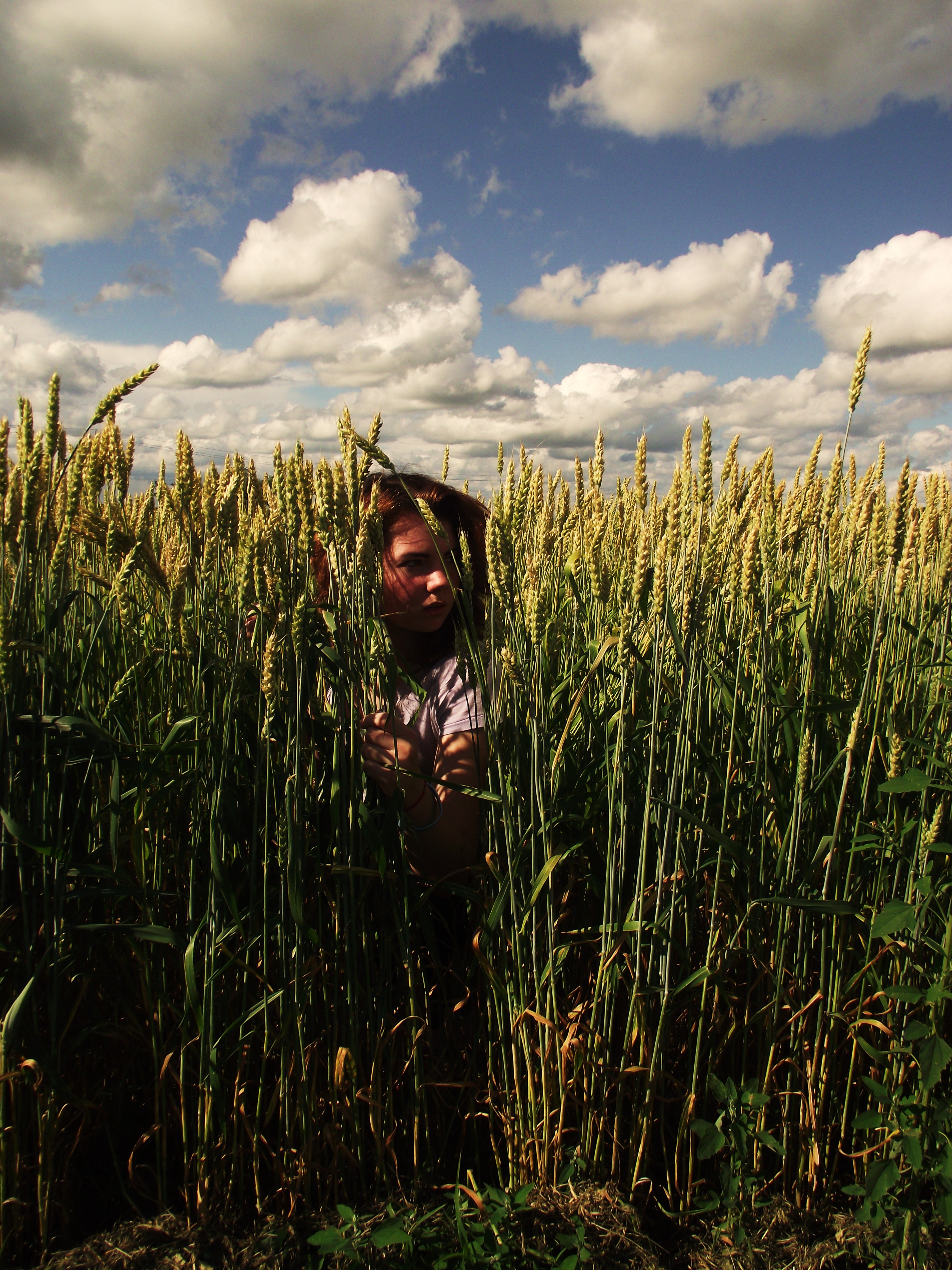
139/365 -- somwhere i belong
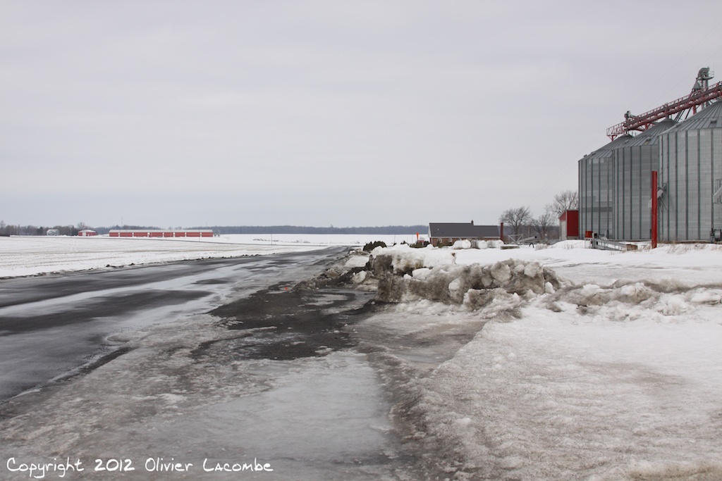
Piste / Runway
Topographic Map of North Glengarry, ON, Canada
Find elevation by address:

Places in North Glengarry, ON, Canada:
Places near North Glengarry, ON, Canada:
20670 Eigg Rd
90 Main St N
38 Kenyon St W, Alexandria, ON K0C 1A0, Canada
Alexandria
Concession Road 10
3879 Lakeshore Rd
1181 Concession Rd 6
Dalkeith
19858 County Rd 25
County Rd 25, Green Valley, ON K0C 1L0, Canada
Green Valley
St-bernardin
19698 Concession Rd 1
19698 Concession Rd 1
Brodie Rd, Dalkeith, ON K0B 1E0, Canada
Regional Road 10
Regional Road 10
Vankleek Hill
47 Main St E, Vankleek Hill, ON K0B 1R0, Canada
K0c 1l0
Recent Searches:
- Elevation of Corso Fratelli Cairoli, 35, Macerata MC, Italy
- Elevation of Tallevast Rd, Sarasota, FL, USA
- Elevation of 4th St E, Sonoma, CA, USA
- Elevation of Black Hollow Rd, Pennsdale, PA, USA
- Elevation of Oakland Ave, Williamsport, PA, USA
- Elevation of Pedrógão Grande, Portugal
- Elevation of Klee Dr, Martinsburg, WV, USA
- Elevation of Via Roma, Pieranica CR, Italy
- Elevation of Tavkvetili Mountain, Georgia
- Elevation of Hartfords Bluff Cir, Mt Pleasant, SC, USA