Elevation of Dakota Dr, Santa Maria, CA, USA

Location: United States > California > Santa Barbara County > Santa Maria >

Longitude: -120.42831

Latitude: 34.8960141

Elevation: 93m / 305feet

Barometric Pressure: 100KPa

Elevation Map:

elevation map of Dakota Dr, Santa Maria, CA, USA
Satellite Map:

Satellite map of Dakota Dr, Santa Maria, CA, USA
Related Photos:

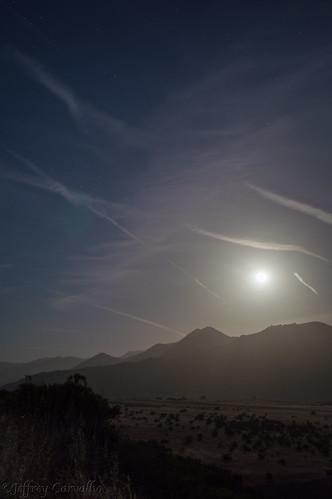
california ca light sky moon mountains cars field cali clouds stars landscape photo nikon highway artist photographer bright fullmoon land streaks nightcap 166 d3200 hwy166
Full Moon 166
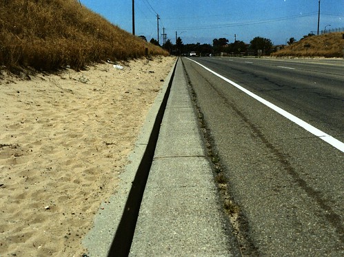
vanishing summerday california santamaria bluesky curb summer pavement street mamiya m645 expiredfilm agfacolor xps160
street view
cats pets most top20catpix top20animals interestingness129 i500 explore03sept05 cc100 cc600 cat600
Aren't I cute!
American Golden-Plover (Pluvialis dominica)
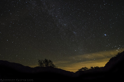
california santa ca original tree art cali night way stars star coast photo nikon artist photographer nightscape maria hill central nikkor milky slo constellation carvalho f354 1024mm d7000
HWY 166 and the Milky Way (Explored Jan 16)
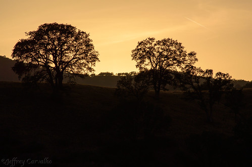
trees sunset black grass clouds landscape gold golden photo nikon glow photographer hwy hills edge silhoette goldenhour carvalho 166 d3200
Golden Tree
melodymarket solophotowalk nightphotowalk
Melody Market
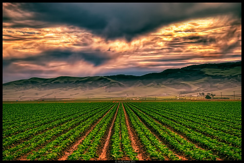
california cloud sun nikon row crop guadalupe d90 promoteremotecontrol ©markpatton
Straight Rows
california ca light sky moon mountains field cali clouds stars landscape photo nikon highway photographer bright fullmoon land streaks nightcap 166 d3200 hwy166
From out Behind
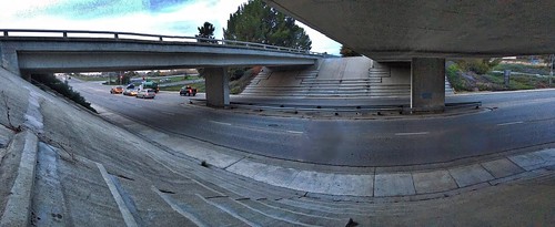
bridge hdr 2016challenge 2016photochallenge
2016 PHOTOCHALLENGE WEEK 2: VIEW FROM UNDER THE BRIDGE – HDR
Rusty Blackbird (Euphagus carolinus)
Items for Jenny to choose from!
Rusty Blackbird (Euphagus carolinus)
california ca trees haze shadows hills centralcoast grassland oaktrees bicknell
Before The Haze Burns Off
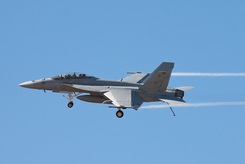
show california santa vortex canon centennial maria aircraft aviation air low pass super dirty airshow valley rhino santamaria hornet boeing f18 douglas naval thunder carrier vapor vortices canon70200f4l mcdonnell mcdonnelldouglas navalaviation superhornet fa18f vfa122 flyingeagles fa18ef 50d dirtypass canoneos50d canonef70200mmf4lisusm vapes thunderoverthevalley smmof centennialofnavalaviation santamariamusemofflight
Dirty Pass
california railroad travel july amtrak guadalupe pacificsurfliner 2011
Guadalupe California
california hotel santamaria santamariainn
Santa Maria Inn
california amtrak coaststarlight
Views from the Amtrak Coast Starlight
Indigo Bunting (Passerina cyanea)
bike race nikon racing nikkor amgen stage4 2015 alr feedzone amgentourofcalifornia teamsky d300s camera:make=nikoncorporation californiatoc exif:make=nikoncorporation camera:model=nikond300s exif:model=nikond300s exif:lens=350700mmf28 exif:aperture=ƒ71 lexuus exif:focallength=35mm exif:isospeed=200
Wine for lunch?
birds birding santabarbaracounty vireobellii ebird jamiechavez birdshare almiyi bell’svireo
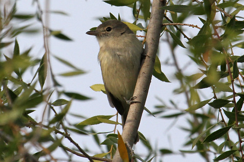
Bell’s Vireo (Vireo bellii)
agriculture strawberries california orcutt absract landscape minimal
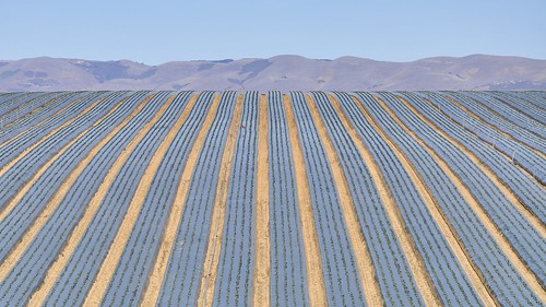
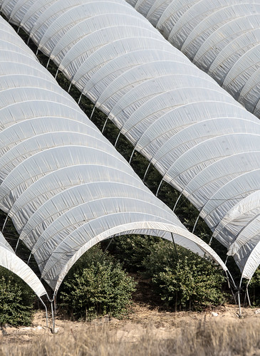
rows of strawberries in Orcutt
urbanlandscape
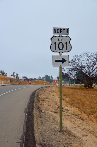
< North 101 >
blue sky ruts trail road field clouds hill minimal nikond90 fence green orcutt centralcoast bluesky
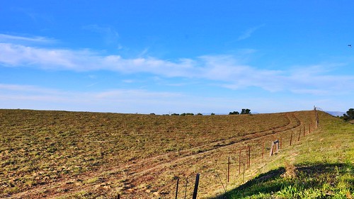
< wheel ruts in the field >
ocaf oldorcutt orcuttunionplaza chalkfestival unionplaza clarkavenue broadway orcutt oldtown santamaria california chalk painting krijt sidewalk trottoir festival art kunst krijttekening people gente arte artists artistes canon s100 canons100 powershot usa unitedstates geotagged geo:lat=34864079 geo:lon=120447282 amerika amérique américa america strasenmalerei streetpainting madonnari woman girl redhead bun pony tail hair thermos water bottle blue jeans bracelet brush paper
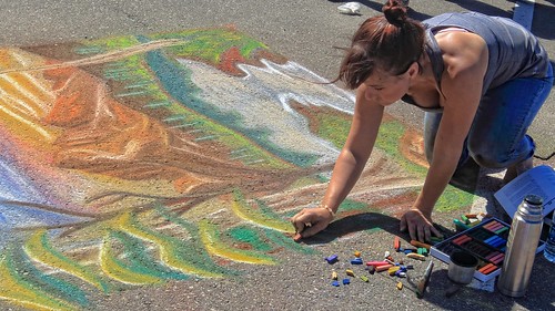
Taking Shape
california blue people sports nature beautiful beauty train landscape photography us jump pretty photographer action lifestyle peaceful fresh clean website launch guadalupe simple dida inspiring náttúra exciting lively fólk landslag energetic olafs ljósmyndari ljósmyndun halldora íþróttir halldoraolafs halldoraolafscom dída halldóraólafs
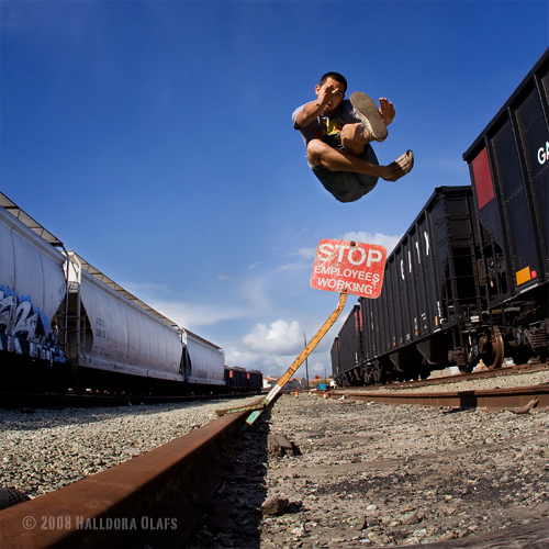
Road Trip: Somewhere in California
california ca sky usa clouds fence weeds rust hill dry bicknell
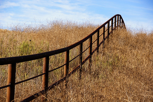
Excuse Me While I Kiss The Sky
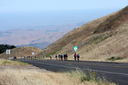
day4 halfway aids lifecycle als hiv charity fundraiser biking bicycle cycle 2008
AIDS/LifeCycle
square squareformat iphoneography instagramapp uploaded:by=instagram foursquare:venue=4c27d747d26eb7133b2214d1
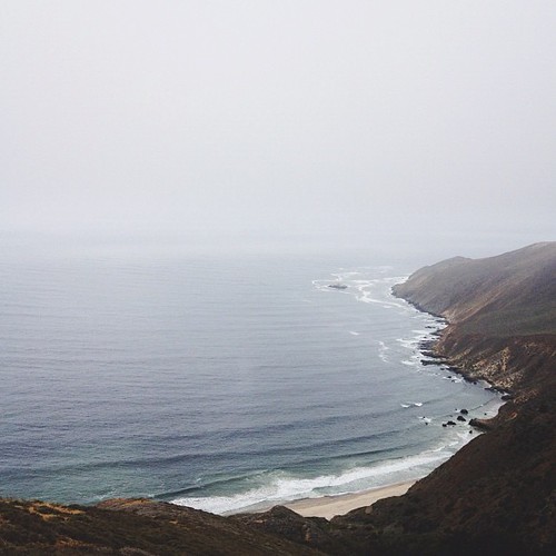
Point Sal, CA. Have you made it out here yet @jacobleewick?
usda departmentofagriculture usdepartmentofagriculture ca
20181115-FPAC-LSC-0048
california sanluisopispo
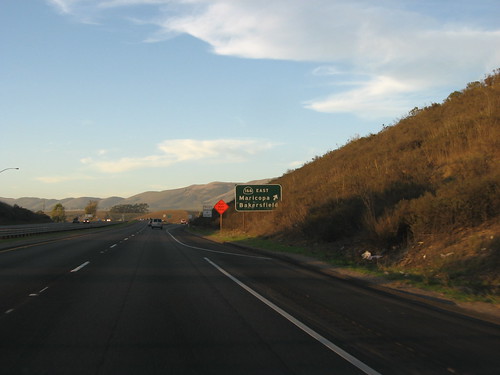
Junction of S.R. 166 and U.S. 101, north of Santa Maria, California
house abandoned farmhouse abandonedhouse foxencanyon foxencanyonroad dsc0293d fixthisbobvilla
This Old House
usda departmentofagriculture usdepartmentofagriculture ca
20181115-FPAC-LSC-0022
california santa ca trees light shadow abstract tree art ford geometric metal night project shopping dark landscape design coast michael chalk store shadows silent post graphic drawing pavement geometry maria empty parking central broadway lot drawings pole sidewalk cast return signage series poles vons draw cart grocery outline outlines posts handicap solitary taurus handicapped linear builtenvironment neff michaelneff notellisg
Shopping Cart Return, Santa Maria, CA. 2008.
Rose-breasted Grosbeak (Pheucticus ludovicianus)
goleta california santa barbara county gaviota state park usa lompoc maria southern arroyo grande san luis obispo surf station lompocsurf surflompoc guadalupe casmalia vandenberg air force base vbg kvbg guadalupesanta
GVB-LAUS
california amtrak coaststarlight
Amtrak Coast Starlight