Elevation of Barolo Pl, Santa Maria, CA, USA
Location: United States > California > Santa Barbara County > Santa Maria >

Longitude: -120.45826

Latitude: 34.930708

Elevation: 59m / 194feet

Barometric Pressure: 101KPa

Elevation Map:

elevation map of Barolo Pl, Santa Maria, CA, USA
Satellite Map:

Satellite map of Barolo Pl, Santa Maria, CA, USA

Related Photos:

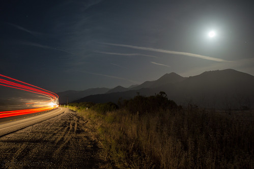
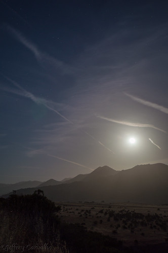
california ca light sky moon mountains cars field cali clouds stars landscape photo nikon highway artist photographer bright fullmoon land streaks nightcap 166 d3200 hwy166
Full Moon 166
melodymarket solophotowalk nightphotowalk
Melody Market
spartus fullvue
Spartus Full-Vue
2013-02-26_12-53-25_474
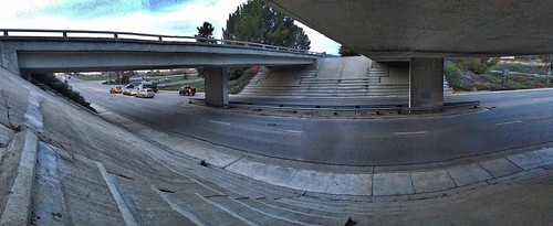
bridge hdr 2016challenge 2016photochallenge
2016 PHOTOCHALLENGE WEEK 2: VIEW FROM UNDER THE BRIDGE – HDR
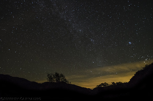
california santa ca original tree art cali night way stars star coast photo nikon artist photographer nightscape maria hill central nikkor milky slo constellation carvalho f354 1024mm d7000
HWY 166 and the Milky Way (Explored Jan 16)
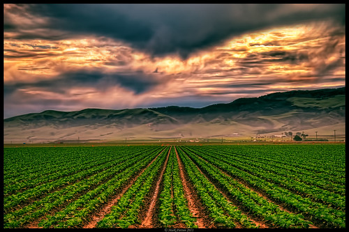
california cloud sun nikon row crop guadalupe d90 promoteremotecontrol ©markpatton
Straight Rows
trees sunset black grass clouds landscape gold golden photo nikon glow photographer hwy hills edge silhoette goldenhour carvalho 166 d3200
Golden Tree
Items for Jenny to choose from!
california ca light sky moon mountains field cali clouds stars landscape photo nikon highway photographer bright fullmoon land streaks nightcap 166 d3200 hwy166
From out Behind
cats pets most top20catpix top20animals interestingness129 i500 explore03sept05 cc100 cc600 cat600
Aren't I cute!
fdsflickrtoys
EC's Views on Photography
california county wallpaper sky usa color art windmill photoshop landscape eos san creative windmills pro santamaria luis canoneos watertank unforgettable sanluisobispo digitalphotography watertanks edges obispo sanluisobispocounty creativephotography phototools cs5 efex colorefexpro niksoftware creativedigitalphotography theunforgettablepictures creativepostprocessing ononephototools viveza2 imageborders
Thompson Road Windmill
square squareformat iphoneography instagramapp uploaded:by=instagram
Morning views #nofilter #centralcoastsunrise
Lavigna Panorama View
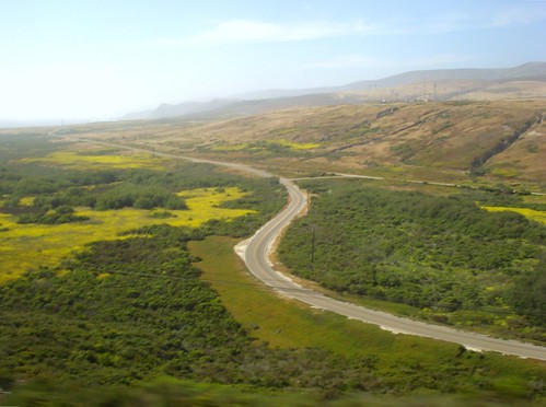
california road way roads bnsf
Los Angeles & San Diego 059
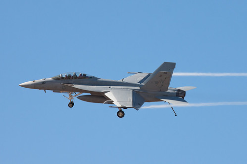
show california santa vortex canon centennial maria aircraft aviation air low pass super dirty airshow valley rhino santamaria hornet boeing f18 douglas naval thunder carrier vapor vortices canon70200f4l mcdonnell mcdonnelldouglas navalaviation superhornet fa18f vfa122 flyingeagles fa18ef 50d dirtypass canoneos50d canonef70200mmf4lisusm vapes thunderoverthevalley smmof centennialofnavalaviation santamariamusemofflight
Dirty Pass
california railroad travel july amtrak guadalupe pacificsurfliner 2011
Guadalupe California
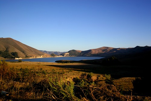
mountain lake view
Random stop.
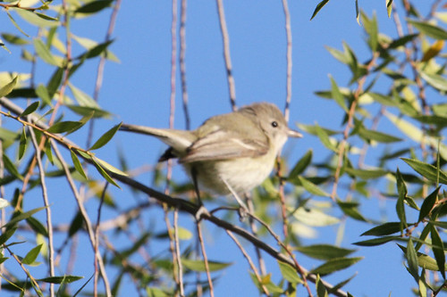
birds birding santabarbaracounty vireobellii ebird jamiechavez almiyi bell’svireo
Bell’s Vireo (Vireo bellii)
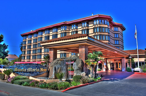
california hotel santamaria santamariainn
Santa Maria Inn
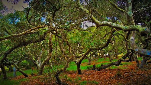
california trees red plant tree green nature yellow forest dark landscape outside outdoor branches photograph santamaria blackoaks serene oaks rugged oaktrees nipomo danieljordan
In the Oaks
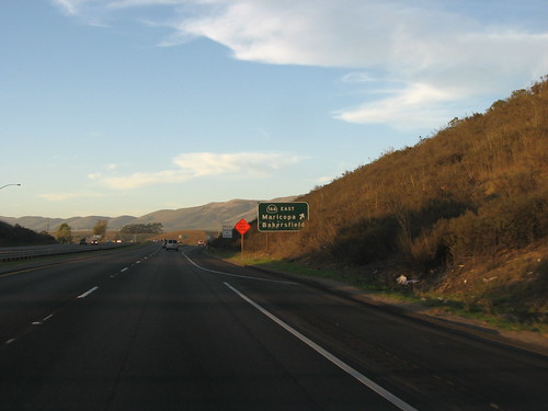
california sanluisopispo
Junction of S.R. 166 and U.S. 101, north of Santa Maria, California
california usa
2012-07-08 13.45.28
orcutt uploaded:by=flickrmobile flickriosapp:filter=nofilter
Pictures by monicag13
california ca sky usa clouds fence weeds rust hill dry bicknell
Excuse Me While I Kiss The Sky
california ca blue original sky brown foothills green art field yellow cali barn fence landscape photography coast photo nikon artist central hills nikkor 805 barbwire slo carvalho nipomo d3200
Big Red Barn
square squareformat iphoneography instagramapp uploaded:by=instagram
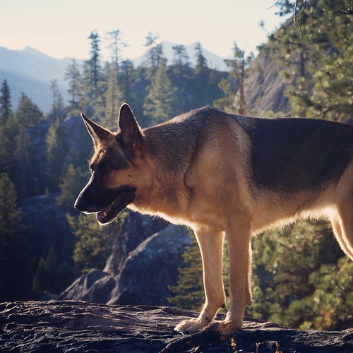
Gwen and Wardrum, no filter
square squareformat iphoneography instagramapp uploaded:by=instagram
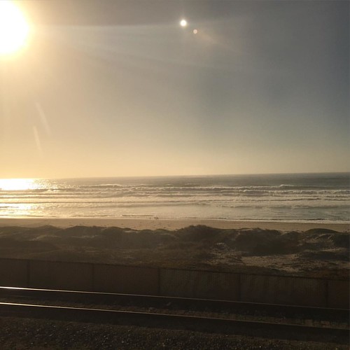
That Pacific Ocean!
square squareformat iphoneography instagramapp uploaded:by=instagram foursquare:venue=4e921ff7d22d95ed0d431ea8
Guadalupe Beach, CA
square squareformat iphoneography instagramapp uploaded:by=instagram foursquare:venue=4edd46d22c5b50aba2059dea
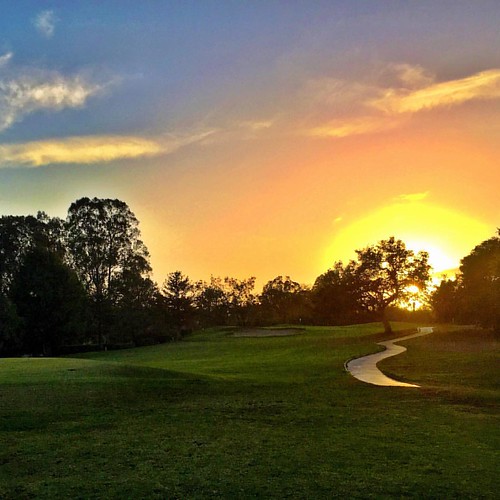
Squeezing in that last hole. #golf #imouttabeer
california ca blue original sky brown foothills green art field yellow cali barn fence landscape photography coast photo nikon artist central hills nikkor 805 barbwire slo carvalho nipomo d3200
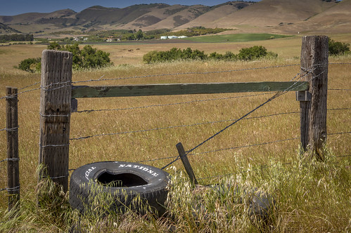
Withering Tires
orcutt uploaded:by=flickrmobile flickriosapp:filter=nofilter
Pictures by monicag13
Red Rocks Canyon 3
california lighting ca vacation mountains nature field sign sunrise landscape photography farm hills crop nipomo iphoneography vscocam
Nipomo Sunrise
square squareformat iphoneography instagramapp uploaded:by=instagram foursquare:venue=4c27d747d26eb7133b2214d1
Point Sal, CA. Have you made it out here yet @jacobleewick?