Elevation of Curtis Cir, Sonora, CA, USA
Location: United States > California > Tuolumne County > Sonora >
Longitude: -120.29124
Latitude: 37.971131
Elevation: 790m / 2592feet
Barometric Pressure: 92KPa
Elevation Map:
Satellite Map:
Related Photos:

Bontrager Livestrong race preparation

Best When Unexpected
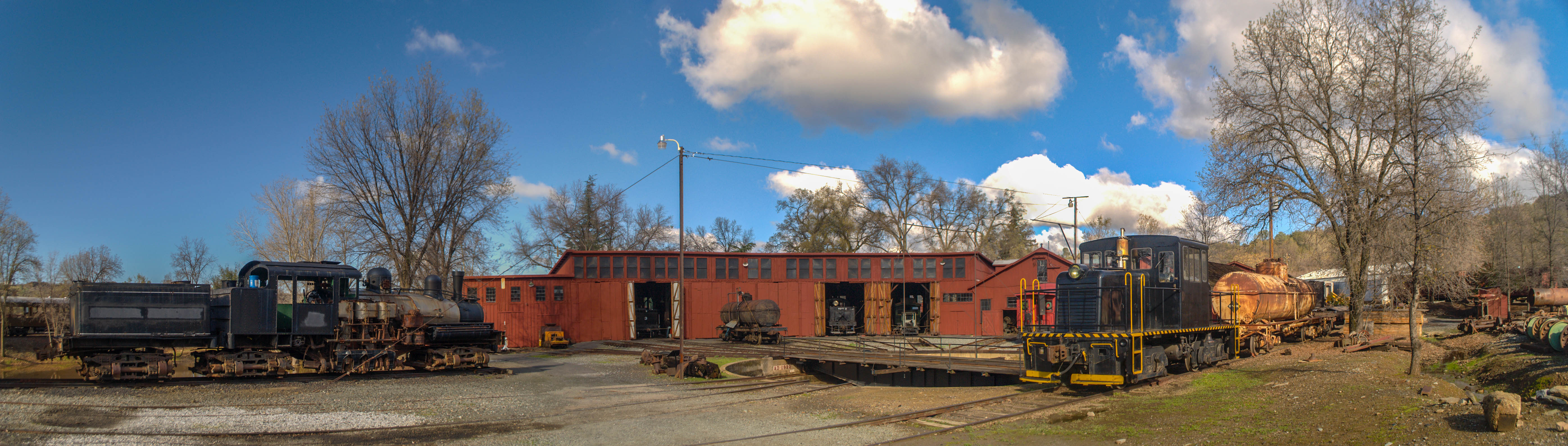
Sierra Railway Roundhouse (Panorama)
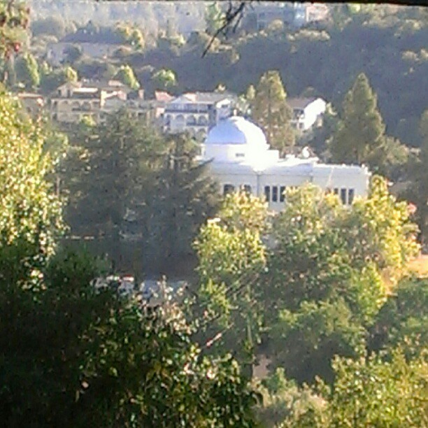
A Room with a view.
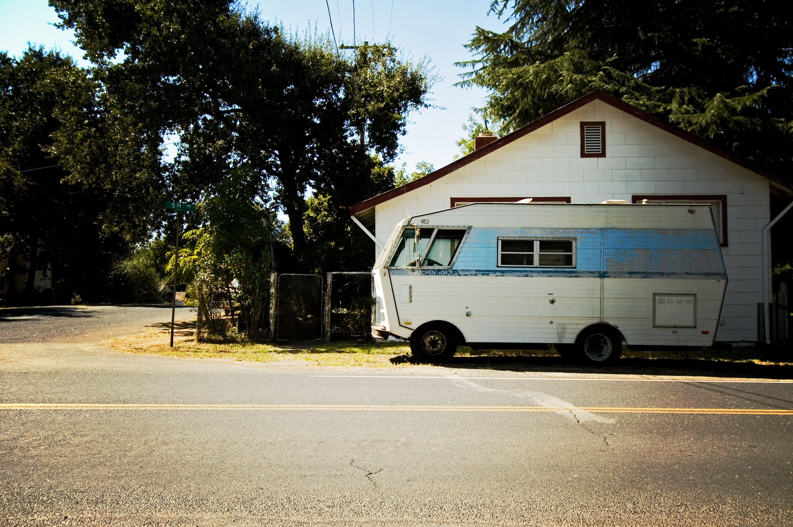
RV in Jamestowm
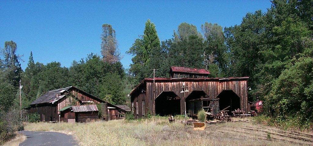
The shops from the south
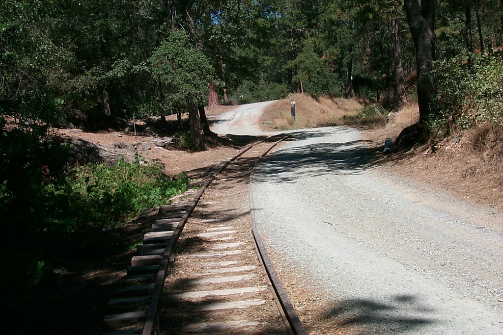
View along the trackbed
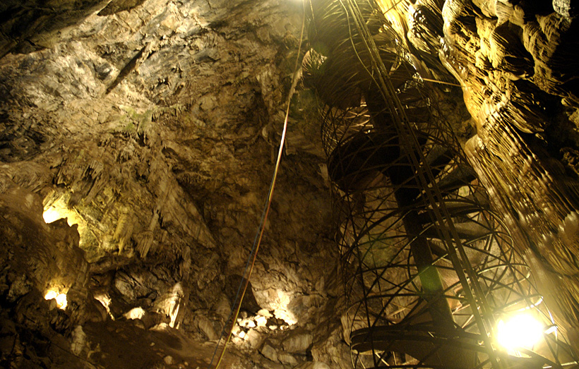
Moaning Cavern from the bottom.
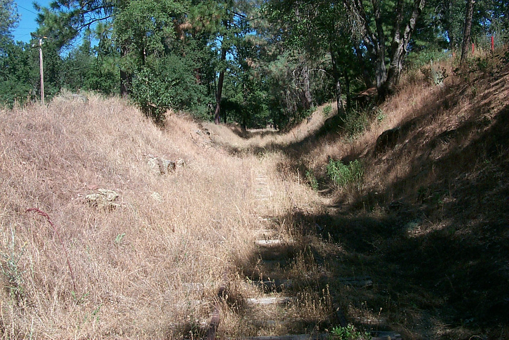
View along the trackbed
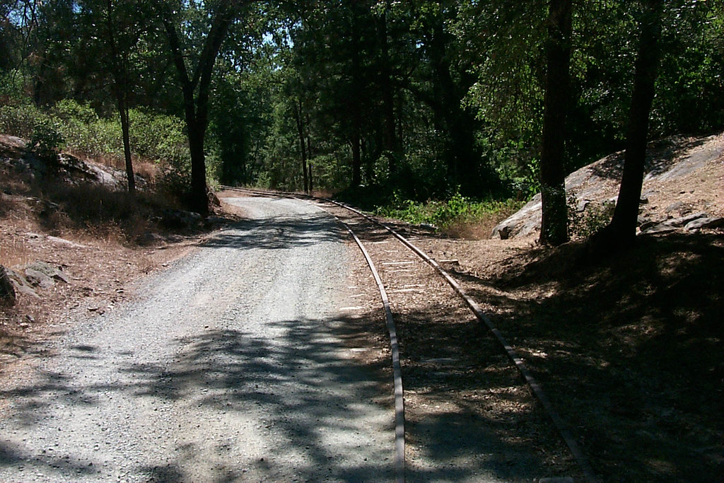
View along the trackbed

View along the trackbed

If only in b&w

Marina View

Sanding tower
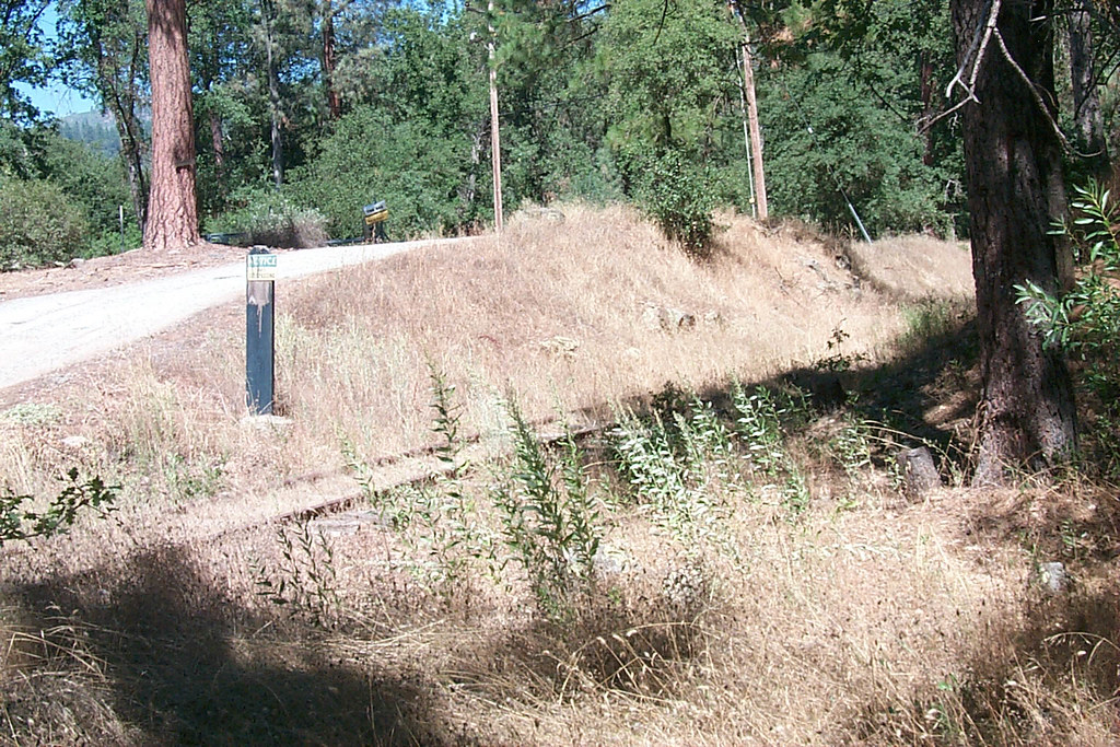
View along the trackbed
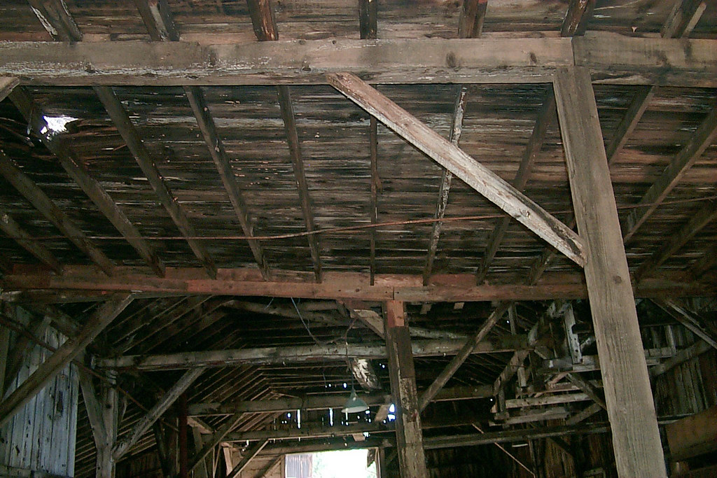
Underside of the shed roof

Occupational Olympics: Patterns In Architecture And Nature
a1976-010
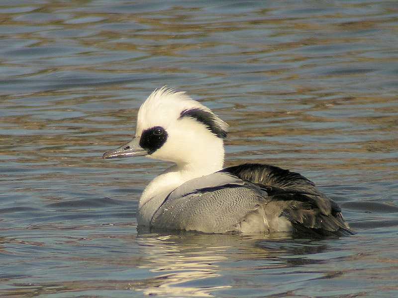
Smew - male

A room with a view
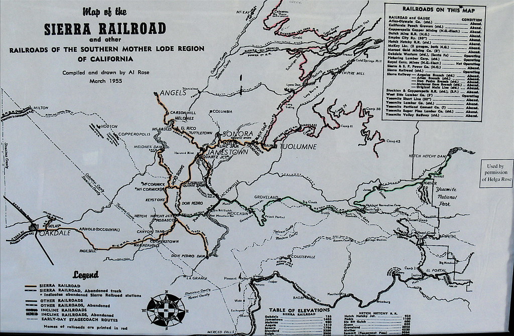
Sierra Railroad Map of the Mother Lode Region of California
New Melones Near the Parrots Ferry Bridge
#yosemite #roadtrip #usa

California highway

A Rainbow for you.
Sunset from Marilyn's
Last man standing

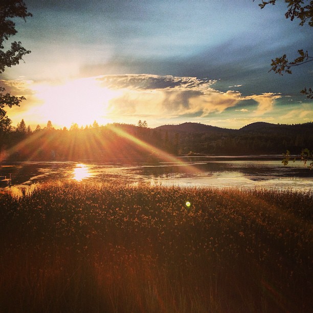
Sept Evening
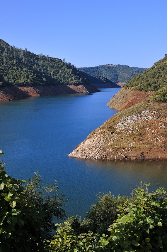
New Melones Lake

20090405_Gold Wall_0391

Thought you would enjoy
20090405_Gold Wall_0528

a1978-01-02
20100619_The Grotto_0164
20090405_Gold Wall_0586
Phoenix Lake near Sonora, CA

El Capitan, Yosemite Valley
Sierras 001
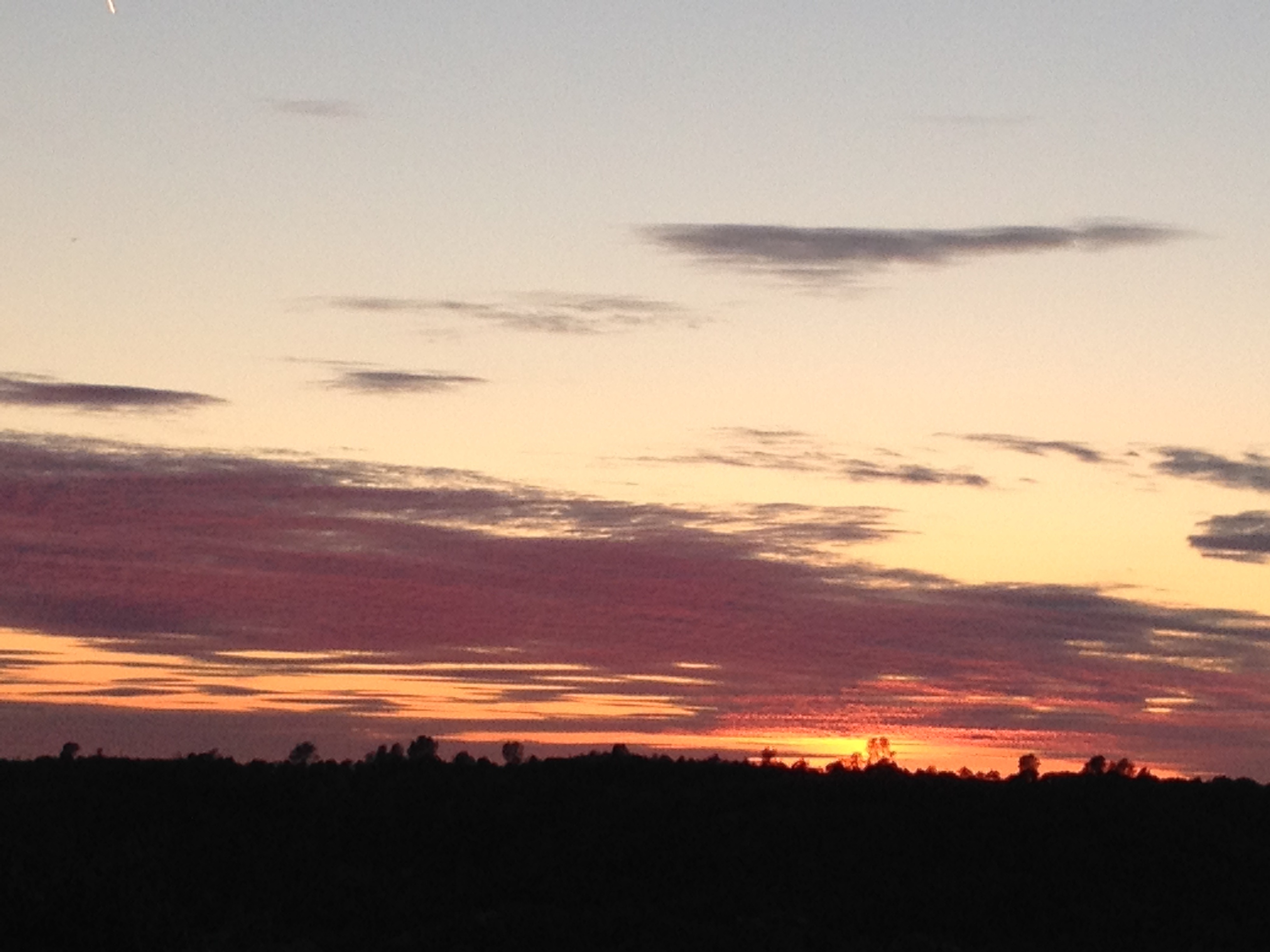
Rain and sunshine
20090405_Gold Wall_0589
Topographic Map of Curtis Cir, Sonora, CA, USA
Find elevation by address:

Places near Curtis Cir, Sonora, CA, USA:
19275 Beauchamp Dr
John Diehl Electric
16275 Corte De Las Ninas
Cornucopia Mine Road
19670 Serrano Rd
15594 Jenness Rd
16545 Draper Mine Rd
14610 Mono Way
Peaceful Oak Rd, Sonora, CA, USA
21337 Phoenix Lake Rd
20537 Phoenix Lake Rd
Phoenix Lake Road
21104 Phoenix Lake Rd
Camino Del Parque Road South
Phoenix Lake Country Club
15476 Camino Del Parque Rd N
15476 Camino Del Parque Rd N
16475 Creekside Dr
16592 S Creekside Dr
Recent Searches:
- Elevation of Corso Fratelli Cairoli, 35, Macerata MC, Italy
- Elevation of Tallevast Rd, Sarasota, FL, USA
- Elevation of 4th St E, Sonoma, CA, USA
- Elevation of Black Hollow Rd, Pennsdale, PA, USA
- Elevation of Oakland Ave, Williamsport, PA, USA
- Elevation of Pedrógão Grande, Portugal
- Elevation of Klee Dr, Martinsburg, WV, USA
- Elevation of Via Roma, Pieranica CR, Italy
- Elevation of Tavkvetili Mountain, Georgia
- Elevation of Hartfords Bluff Cir, Mt Pleasant, SC, USA